Elevation of Kigeme Refugee Camp, Rwanda
Location: Rwanda > Southern Province > Nyamagabe > Kirehe >
Longitude: 29.5238215
Latitude: -2.4860544
Elevation: 2138m / 7014feet
Barometric Pressure: 78KPa
Elevation Map:
Satellite Map:
Related Photos:

View of "drip drop droopy" - Wednesday, 1 August 2018 - 19:00 GMT+0200

.rwanda.

Butare to Nyungwe Forest

Butare to Nyungwe Forest

Butare to Nyungwe Forest

Butare to Nyungwe Forest

Butare to Nyungwe Forest

Butare to Nyungwe Forest

Butare to Nyungwe Forest

Butare to Nyungwe Forest

11 landscape refugee camp Lagendyk
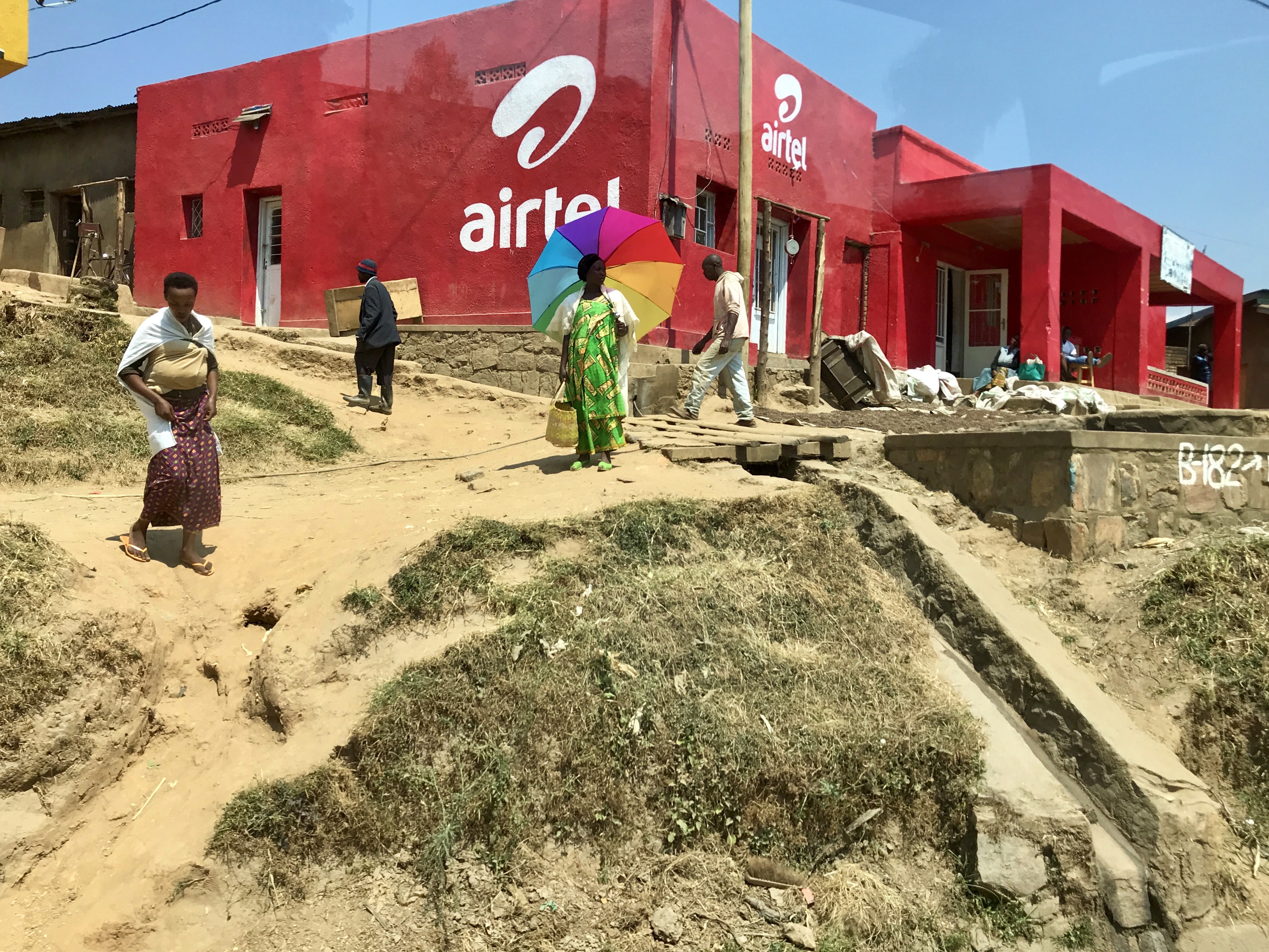
11 landscape town Lagendyk

Butare to Nyungwe Forest

11 landscape people carry Lagendyk

Butare to Nyungwe Forest

Butare to Nyungwe Forest

11 landscape people Lagendyk

Butare to Nyungwe Forest

11 landscape houses Lagendyk

Mountain water source for Bufcoffee
Topographic Map of Kigeme Refugee Camp, Rwanda
Find elevation by address:

Places near Kigeme Refugee Camp, Rwanda:
Nyamagabe
Kitabi Eco-center
Karambo
Kaduha
Muko
Kaduha Hospital
Mushubi Health Centre
Mushubi Catholic Church
Nyaruguru
Rusizi
Karongi
Western Province
Kibuye
Cibitoke
Rutsiro
Giheke High School
Rugombo
Gisuma
Boneza Sector Office
Bukavu
Recent Searches:
- Elevation of 15th Ave SE, St. Petersburg, FL, USA
- Elevation of Beall Road, Beall Rd, Florida, USA
- Elevation of Leguwa, Nepal
- Elevation of County Rd, Enterprise, AL, USA
- Elevation of Kolchuginsky District, Vladimir Oblast, Russia
- Elevation of Shustino, Vladimir Oblast, Russia
- Elevation of Lampiasi St, Sarasota, FL, USA
- Elevation of Elwyn Dr, Roanoke Rapids, NC, USA
- Elevation of Congressional Dr, Stevensville, MD, USA
- Elevation of Bellview Rd, McLean, VA, USA