Elevation of Khurshedi, Tajikistan
Location: Tajikistan > Khatlon Province >
Longitude: 68.0984268
Latitude: 37.1139889
Elevation: 338m / 1109feet
Barometric Pressure: 97KPa
Elevation Map:
Satellite Map:
Related Photos:

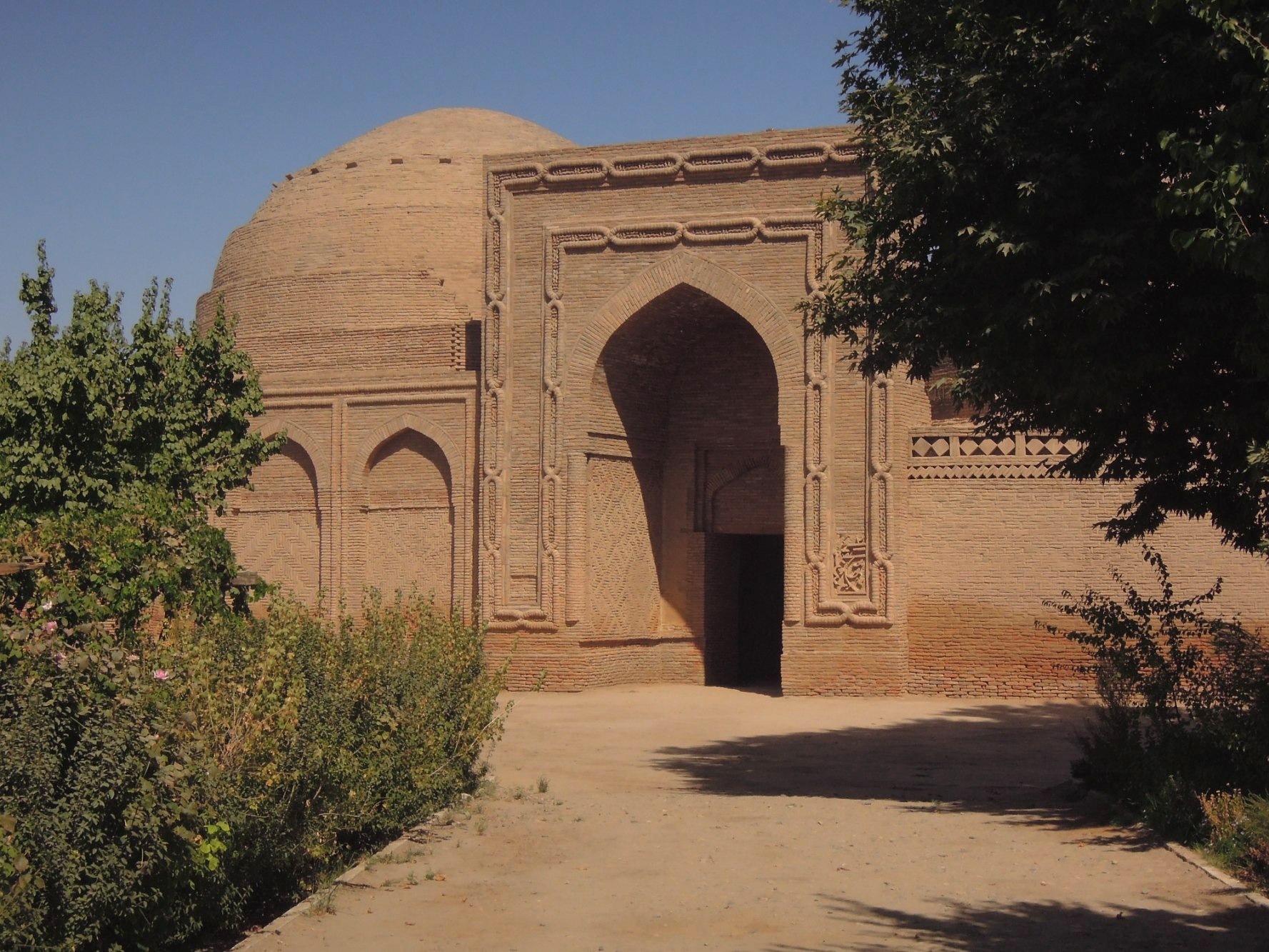
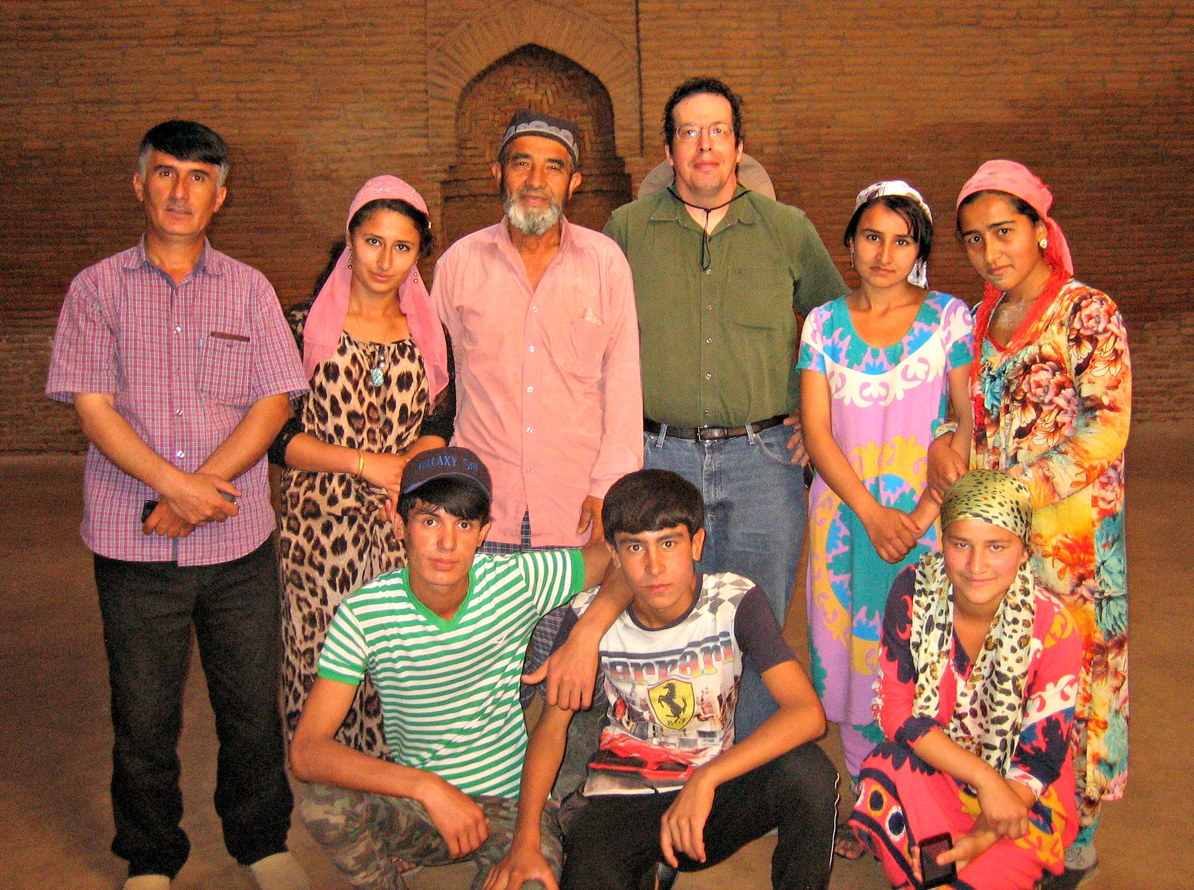
Khoja Mashad

Khoja Mashad

Khoja Mashad

stillgelegte Bahnstrecke
Medrese Chodscha Mesched

Khoja Mashad

Khoja Mashad
Khoja Mashad

Khoja Mashad

Khoja Mashad

Khoja Mashad

Khoja Mashad
Topographic Map of Khurshedi, Tajikistan
Find elevation by address:

Places near Khurshedi, Tajikistan:
Shahrtuz
Kolkhozabad
Kunduz
Kunduz
Kunduz
Surxondaryo Region
Khatlon District Administration
Qurgonteppa
Recent Searches:
- Elevation of 6 Rue Jules Ferry, Beausoleil, France
- Elevation of Sattva Horizon, 4JC6+G9P, Vinayak Nagar, Kattigenahalli, Bengaluru, Karnataka, India
- Elevation of Great Brook Sports, Gold Star Hwy, Groton, CT, USA
- Elevation of 10 Mountain Laurels Dr, Nashua, NH, USA
- Elevation of 16 Gilboa Ln, Nashua, NH, USA
- Elevation of Laurel Rd, Townsend, TN, USA
- Elevation of 3 Nestling Wood Dr, Long Valley, NJ, USA
- Elevation of Ilungu, Tanzania
- Elevation of Yellow Springs Road, Yellow Springs Rd, Chester Springs, PA, USA
- Elevation of Rēzekne Municipality, Latvia