Elevation of Khost, Afghanistan
Location: Afghanistan > Khost >
Longitude: 70.074132
Latitude: 33.3298015
Elevation: 1057m / 3468feet
Barometric Pressure: 89KPa
Elevation Map:
Satellite Map:
Related Photos:

Himalayan Bulbul

Laughing Dove

Open-Air Burn Pit at Shindand Airbase
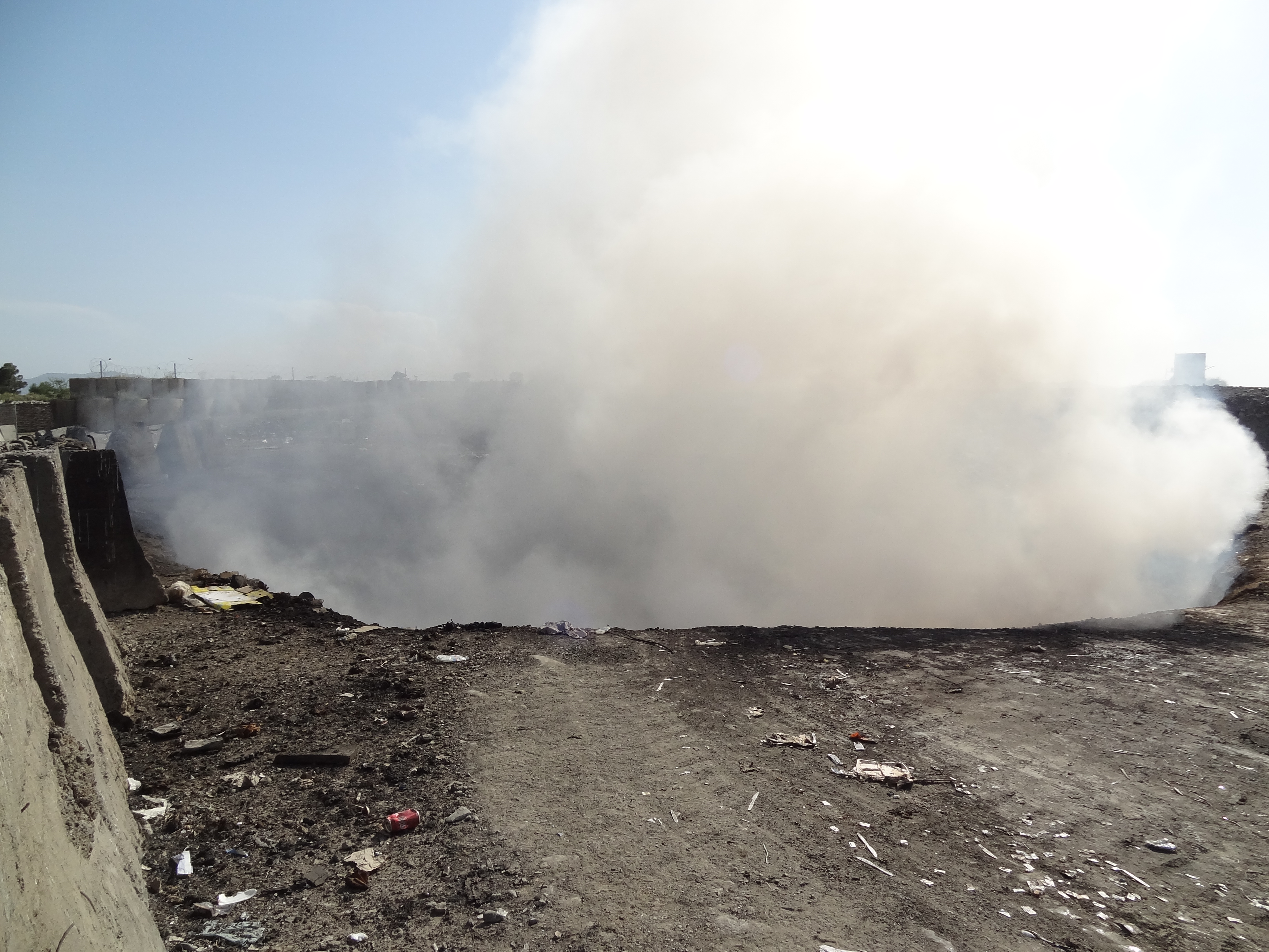
Emissions from FOB Salerno Open-Air Burn Pit

FOB Salerno Open-Air Burn Pit

Stagnant Water in Bilge Pit Beneath Incinerators
Topographic Map of Khost, Afghanistan
Find elevation by address:

Places in Khost, Afghanistan:
Places near Khost, Afghanistan:
Khost
Khost
Miran Shah
North Waziristan Agency
Makin
Ladha
Razmak
Federally Administered Tribal Area
Zahoo
Makin
Gardez
Paktia
Pir Ghar
Baddar Toi
Unnamed Road
Kaniguram
Gardez
Tiarza
Shakai Valley
Shawal Valley
Recent Searches:
- Elevation of Kambingan Sa Pansol Atbp., Purok 7 Pansol, Candaba, Pampanga, Philippines
- Elevation of Pinewood Dr, New Bern, NC, USA
- Elevation of Mountain View, CA, USA
- Elevation of Foligno, Province of Perugia, Italy
- Elevation of Blauwestad, Netherlands
- Elevation of Bella Terra Blvd, Estero, FL, USA
- Elevation of Estates Loop, Priest River, ID, USA
- Elevation of Woodland Oak Pl, Thousand Oaks, CA, USA
- Elevation of Brownsdale Rd, Renfrew, PA, USA
- Elevation of Corcoran Ln, Suffolk, VA, USA