Elevation of Khetri, Rajasthan, India
Location: India > Rajasthan > Jhunjhunu >
Longitude: 75.7865653
Latitude: 28.0012376
Elevation: 400m / 1312feet
Barometric Pressure: 97KPa
Elevation Map:
Satellite Map:
Related Photos:

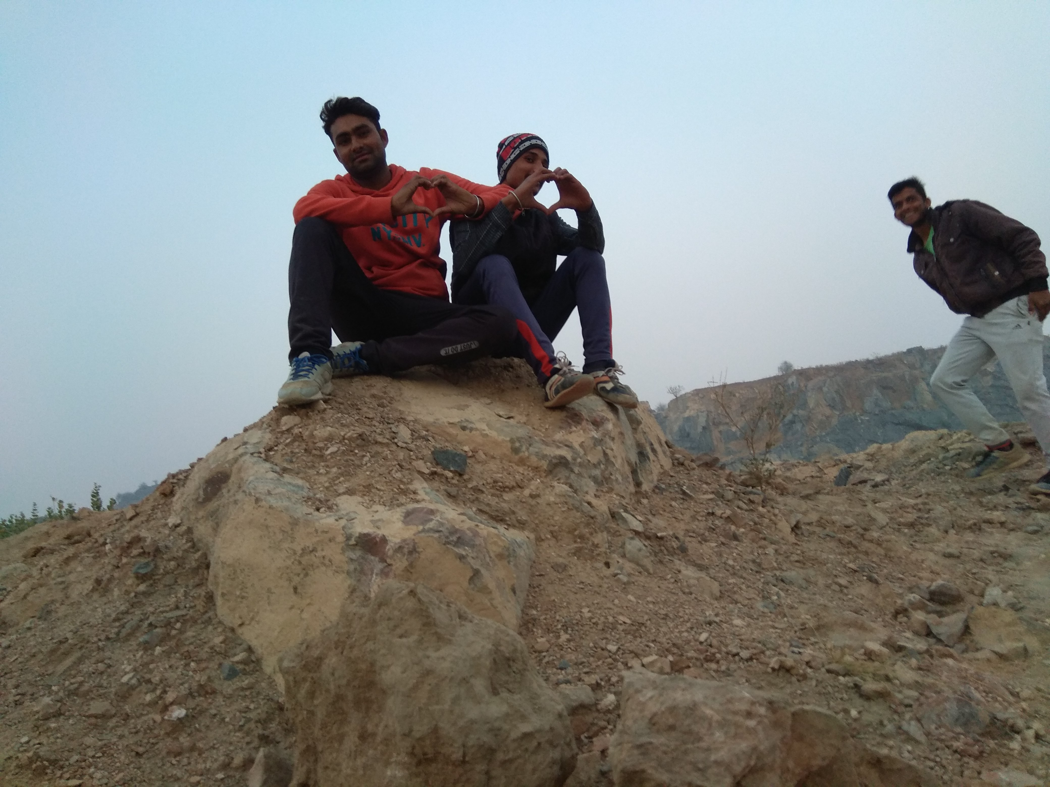
IMG_20180102_173317

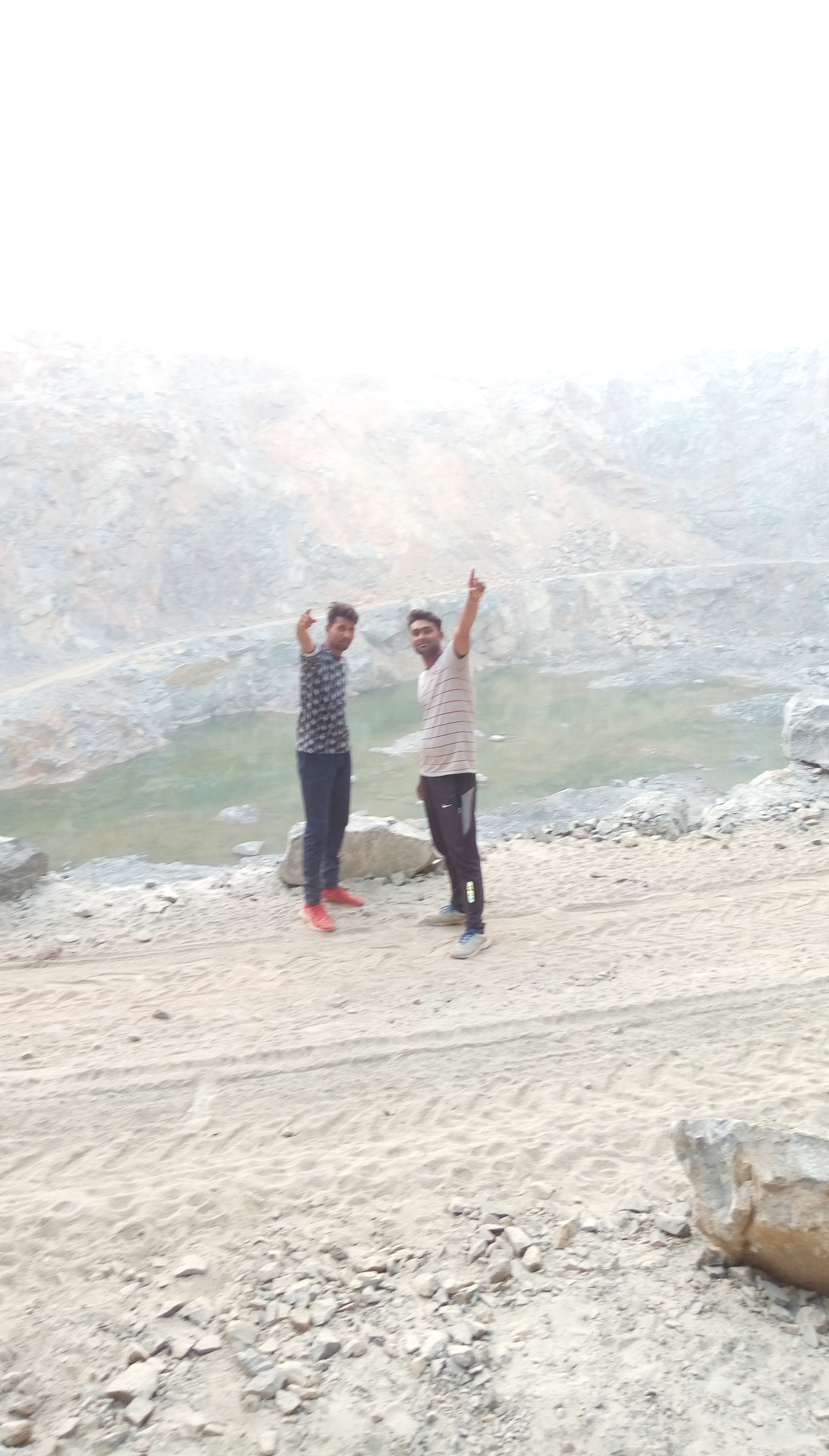
IMG_20180102_174501
IMG_20180102_174816

IMG_20180102_173436_HDR

IMG_20180102_174808

IMG_20180102_173326_HDR

IMG_20180102_174301

IMG_20180102_173503_HDR

IMG_20180102_174801

IMG_20180102_174136

IMG_20180102_173331_HDR
IMAG0139

IMAG0144

IMG_20180102_174841
Topographic Map of Khetri, Rajasthan, India
Find elevation by address:

Places near Khetri, Rajasthan, India:
Jhunjhunu
Udaipurwati
Bagora
Udaipur Hotels
Jorawar Nagar
Khandela
Mandawa
Sikar
Sikar
Kukas
Jaipur
Amer
Amber Palace
Amer Fort
Devisinghpura
Khatipura
Gangori Bazaar
Hawa Mahal Road
Tripolia Bazar
J.d.a. Market
Recent Searches:
- Elevation of Sattva Horizon, 4JC6+G9P, Vinayak Nagar, Kattigenahalli, Bengaluru, Karnataka, India
- Elevation of Great Brook Sports, Gold Star Hwy, Groton, CT, USA
- Elevation of 10 Mountain Laurels Dr, Nashua, NH, USA
- Elevation of 16 Gilboa Ln, Nashua, NH, USA
- Elevation of Laurel Rd, Townsend, TN, USA
- Elevation of 3 Nestling Wood Dr, Long Valley, NJ, USA
- Elevation of Ilungu, Tanzania
- Elevation of Yellow Springs Road, Yellow Springs Rd, Chester Springs, PA, USA
- Elevation of Rēzekne Municipality, Latvia
- Elevation of Plikpūrmaļi, Vērēmi Parish, Rēzekne Municipality, LV-, Latvia