Elevation of Khedbrahma, Gujarat, India
Location: India > Gujarat > Sabarkatha >
Longitude: 73.0434794
Latitude: 24.0290993
Elevation: 207m / 679feet
Barometric Pressure: 99KPa
Elevation Map:
Satellite Map:
Related Photos:
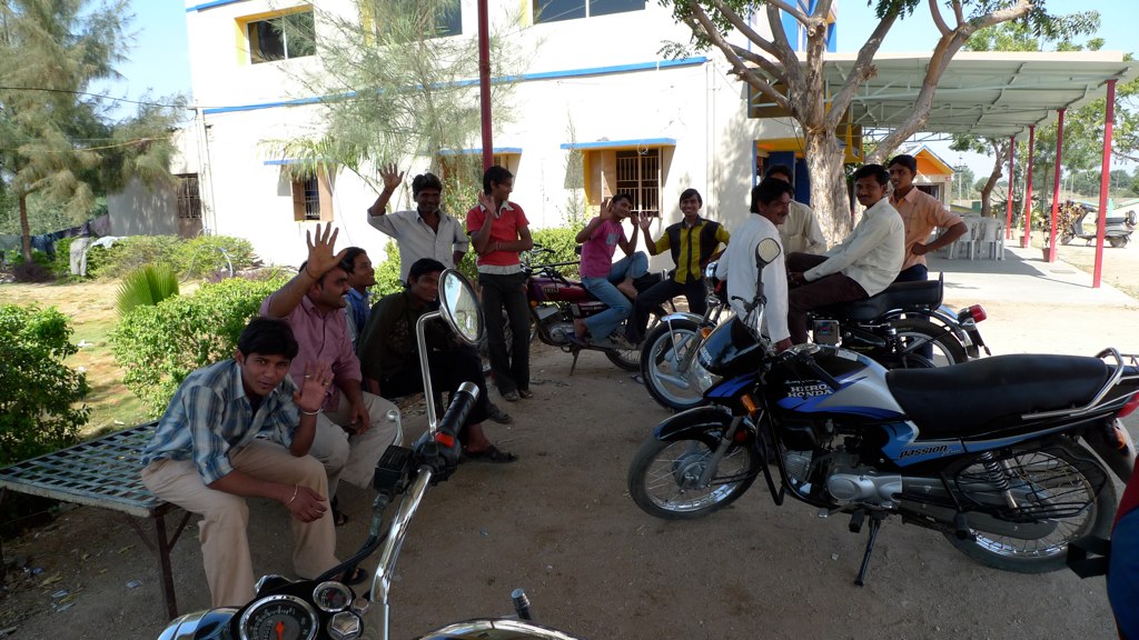
The guys who came out to see us eat.
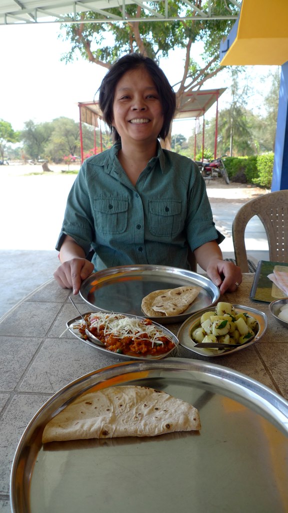
More excellent truck-stop food.
Topographic Map of Khedbrahma, Gujarat, India
Find elevation by address:

Places near Khedbrahma, Gujarat, India:
Vadali
Danta
Ambaji
Khodiyar Chowk
Ambaji Mandir
Virampur
Soorpagla
Abu - Ambaji Road
Khatisitra School Khapa
Bakhel
Khapa
Police Station Mandwa
Abu Road
Sarotra Road
Sarotra
Karjoda
Palanpur
St. Mary's High School
Achalgarh Fort
Achal Gadh
Recent Searches:
- Elevation of Beall Road, Beall Rd, Florida, USA
- Elevation of Leguwa, Nepal
- Elevation of County Rd, Enterprise, AL, USA
- Elevation of Kolchuginsky District, Vladimir Oblast, Russia
- Elevation of Shustino, Vladimir Oblast, Russia
- Elevation of Lampiasi St, Sarasota, FL, USA
- Elevation of Elwyn Dr, Roanoke Rapids, NC, USA
- Elevation of Congressional Dr, Stevensville, MD, USA
- Elevation of Bellview Rd, McLean, VA, USA
- Elevation of Stage Island Rd, Chatham, MA, USA