Elevation map of Khan, Namibia
Location: Namibia > Erongo Region >
Longitude: 15.2729487
Latitude: -22.276686
Elevation: 595m / 1952feet
Barometric Pressure: 94KPa
Elevation Map:
Satellite Map:
Related Photos:

Zimbabwe
DSC_6124
20040702-011na

20160328_090503_2_NIKON D4S

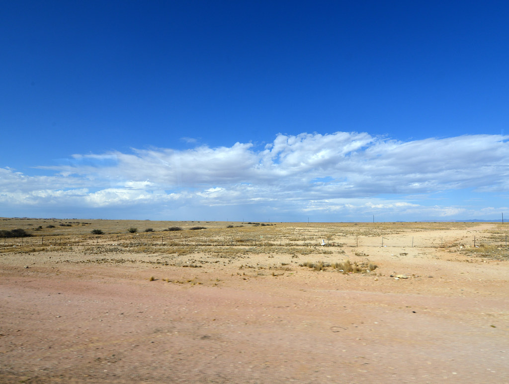
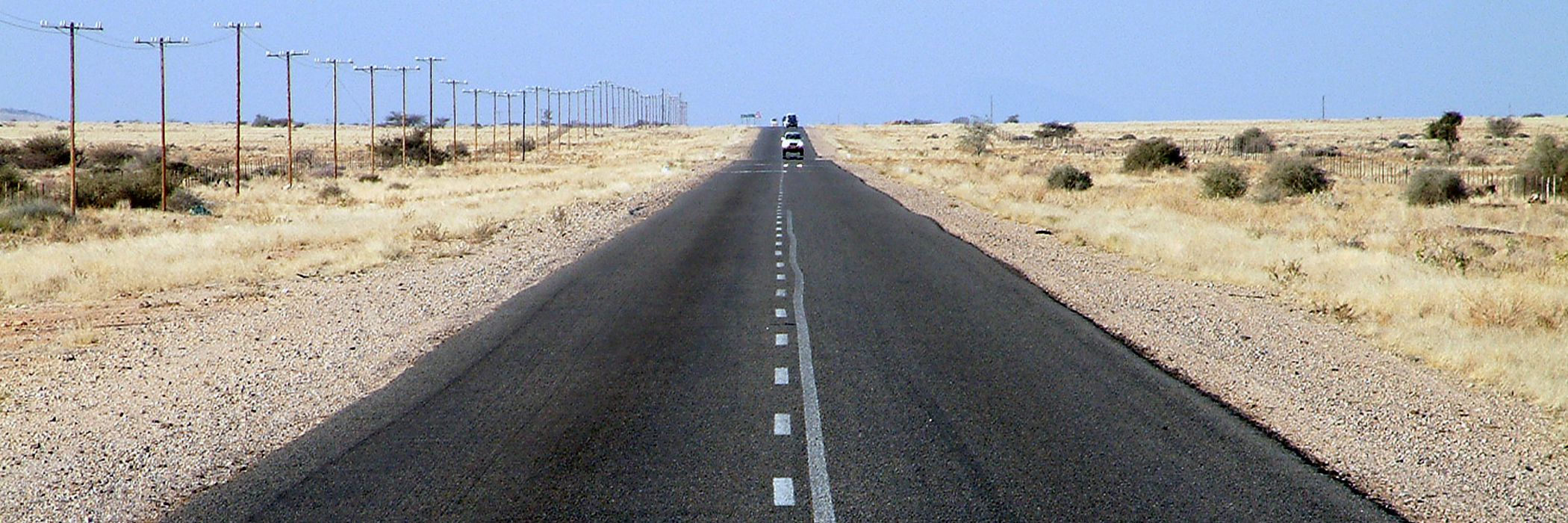
Erongo Region Namibia
Topographic Map of Khan, Namibia
Find elevation by address:

Places near Khan, Namibia:
Recent Searches:
- Elevation of Pykes Down, Ivybridge PL21 0BY, UK
- Elevation of Jalan Senandin, Lutong, Miri, Sarawak, Malaysia
- Elevation of Bilohirs'k
- Elevation of 30 Oak Lawn Dr, Barkhamsted, CT, USA
- Elevation of Luther Road, Luther Rd, Auburn, CA, USA
- Elevation of Unnamed Road, Respublika Severnaya Osetiya — Alaniya, Russia
- Elevation of Verkhny Fiagdon, North Ossetia–Alania Republic, Russia
- Elevation of F. Viola Hiway, San Rafael, Bulacan, Philippines
- Elevation of Herbage Dr, Gulfport, MS, USA
- Elevation of Lilac Cir, Haldimand, ON N3W 2G9, Canada