Elevation of Kestell, South Africa
Location: South Africa > Free State > Thabo Mofutsanyane > Kestell >
Longitude: 28.6935593
Latitude: -28.308206
Elevation: 1823m / 5981feet
Barometric Pressure: 81KPa
Elevation Map:
Satellite Map:
Related Photos:

Room with a view
Shep + fog = eerie

Pre-lunch bliss

Zeiling farm

The entrance to the Zeilinga farm

Shep + fog = eerie

Foggy morning on the farm VII

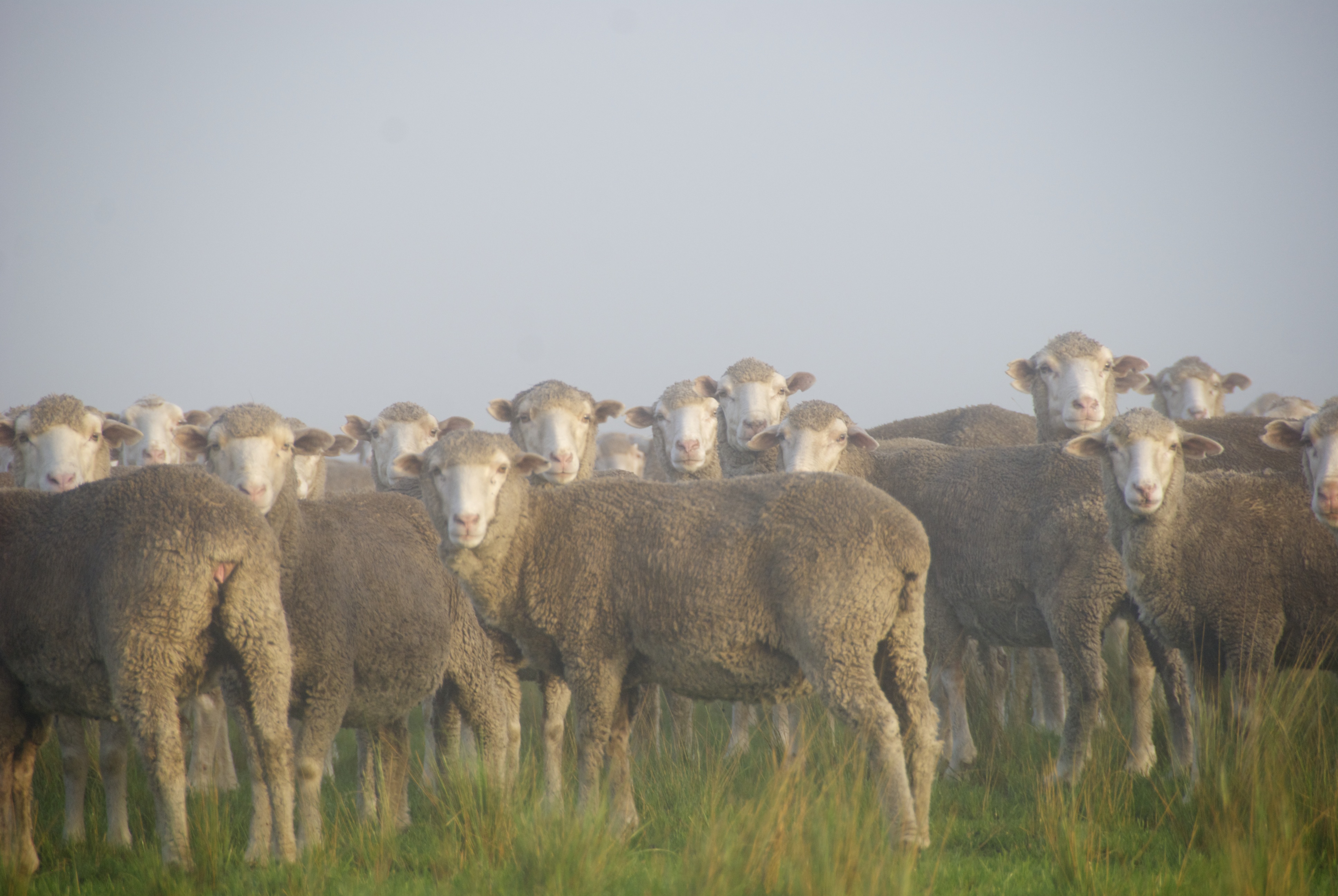
Zeilinga farm

A storm is coming

Thunderstorm II
Topographic Map of Kestell, South Africa
Find elevation by address:

Places in Kestell, South Africa:
Places near Kestell, South Africa:
Botha Street
Kestell
Qwaqwa
Phuthaditjhaba-a
Phuthaditjhaba
Hydro Street
Fcgh+w9
Clarens
Clarens
Bethlehem
Harrismith
The Cavern Drakensberg Resort & Spa
Thabo Mofutsanyane
Bezuidenhouts Pass
Amphitheatre Backpackers Lodge
Mkukwini
Maliba Lodge
Bergville
Leribe
Cathedral Peak Hotel
Recent Searches:
- Elevation of Pu Ngaol Community Meeting Hall, HWHM+3X7, Krong Saen Monourom, Cambodia
- Elevation of Royal Ontario Museum, Queens Park, Toronto, ON M5S 2C6, Canada
- Elevation of Groblershoop, South Africa
- Elevation of Power Generation Enterprises | Industrial Diesel Generators, Oak Ave, Canyon Country, CA, USA
- Elevation of Chesaw Rd, Oroville, WA, USA
- Elevation of N, Mt Pleasant, UT, USA
- Elevation of 6 Rue Jules Ferry, Beausoleil, France
- Elevation of Sattva Horizon, 4JC6+G9P, Vinayak Nagar, Kattigenahalli, Bengaluru, Karnataka, India
- Elevation of Great Brook Sports, Gold Star Hwy, Groton, CT, USA
- Elevation of 10 Mountain Laurels Dr, Nashua, NH, USA