Elevation of Kesinga, Odisha, India
Location: India > Odisha > Kalahandi >
Longitude: 83.2104426
Latitude: 20.1850477
Elevation: 182m / 597feet
Barometric Pressure: 99KPa
Elevation Map:
Satellite Map:
Related Photos:
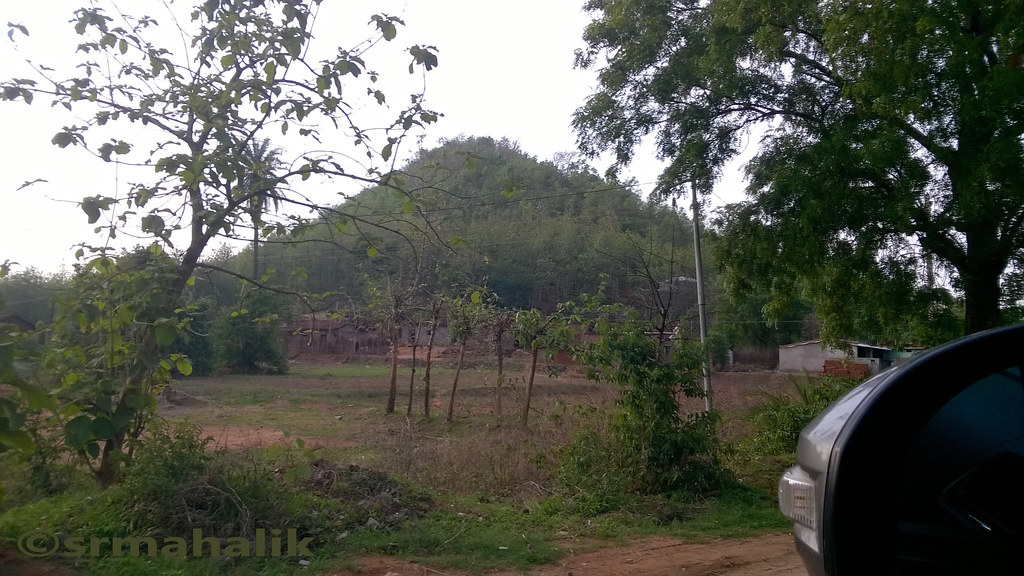
Side view on NH201
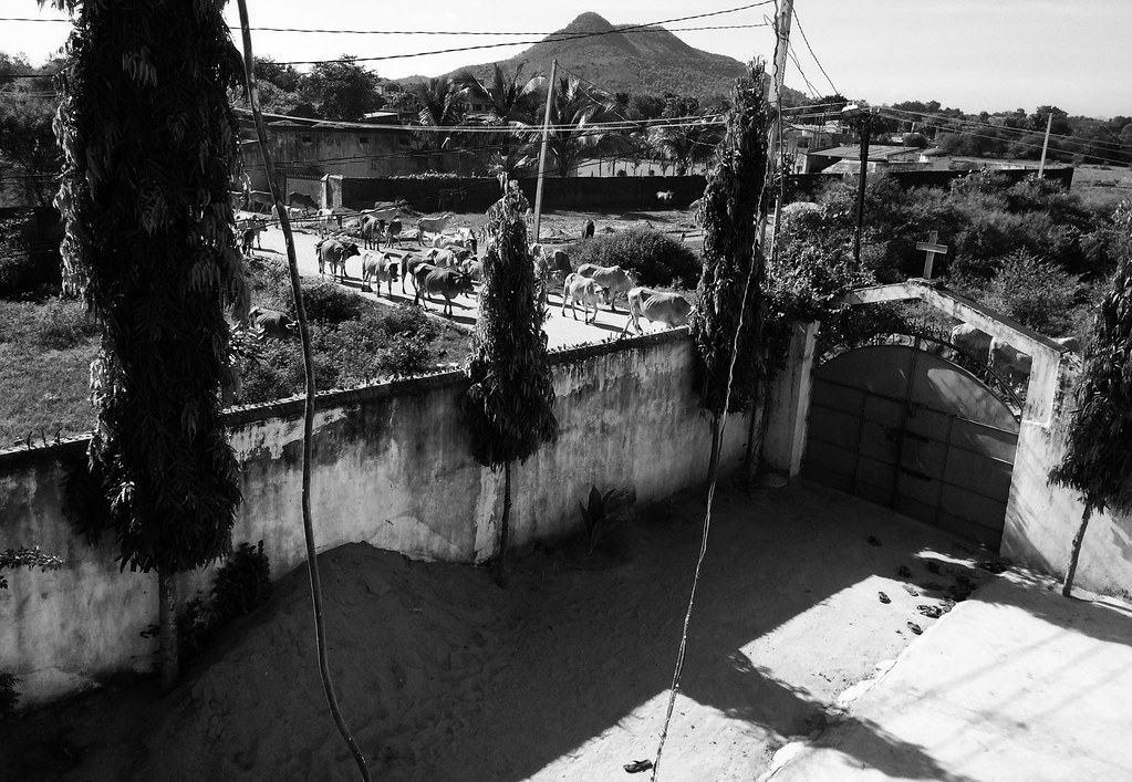
Bethany Ministry, Kesinga Kalahandi, India

SEE U again

Object in the Mirror captured with my Phone
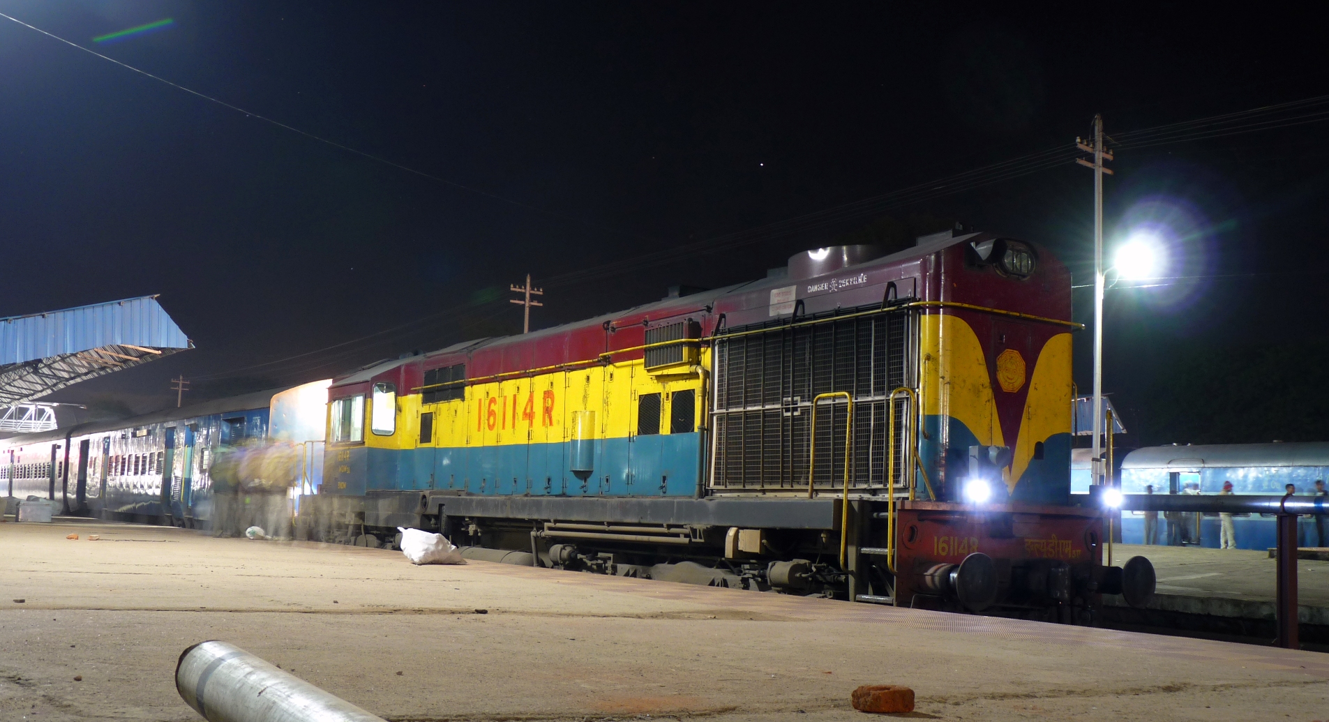
BNDM WDM-3A @ Titlagarh
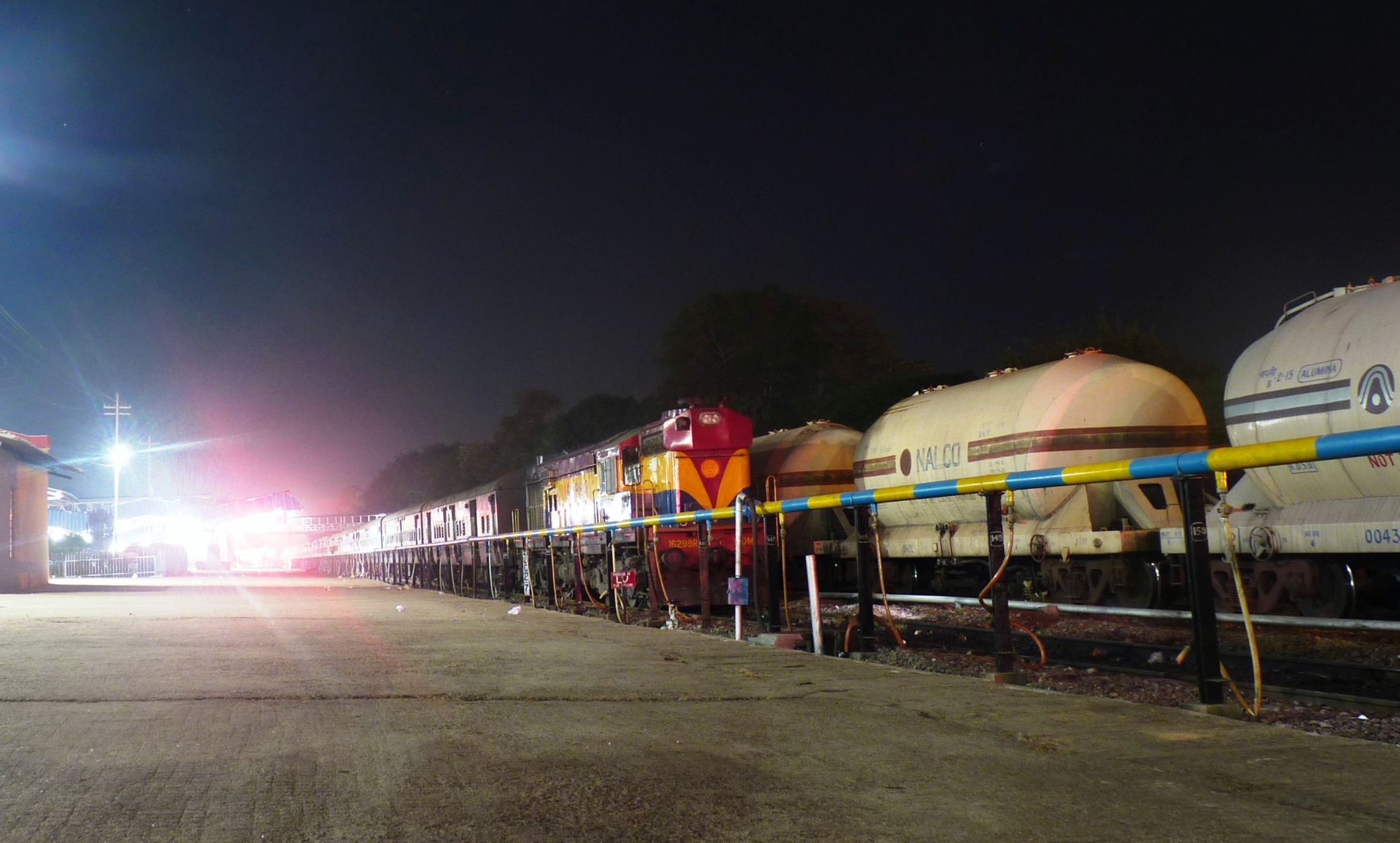
Bondamunda WDM-3A # 16299R
Topographic Map of Kesinga, Odisha, India
Find elevation by address:

Places near Kesinga, Odisha, India:
Recent Searches:
- Elevation of Coan West, Coon West, Co. Kilkenny, Ireland
- Elevation of 8 Rue Raoul Dufy, Collioure, France
- Elevation of 6 Muir St, Medowie NSW, Australia
- Elevation of Woodland Road, Woodland Rd, Lee, MA, USA
- Elevation of Turner Mill Rd, Talladega, AL, USA
- Elevation of Wylie Ridge Rd, New Cumberland, WV, USA
- Elevation of Dogwood Ln, Millsboro, DE, USA
- Elevation of Paseo Lucido, San Diego, CA, USA
- Elevation of W S, Orem, UT, USA
- Elevation of Water Bird Wy, Punta Gorda, FL, USA