Elevation of Kesen District, Iwate Prefecture, Japan
Location: Japan > Iwate Prefecture >
Longitude: 141.535
Latitude: 39.176
Elevation: 255m / 837feet
Barometric Pressure: 98KPa
Elevation Map:
Satellite Map:
Related Photos:
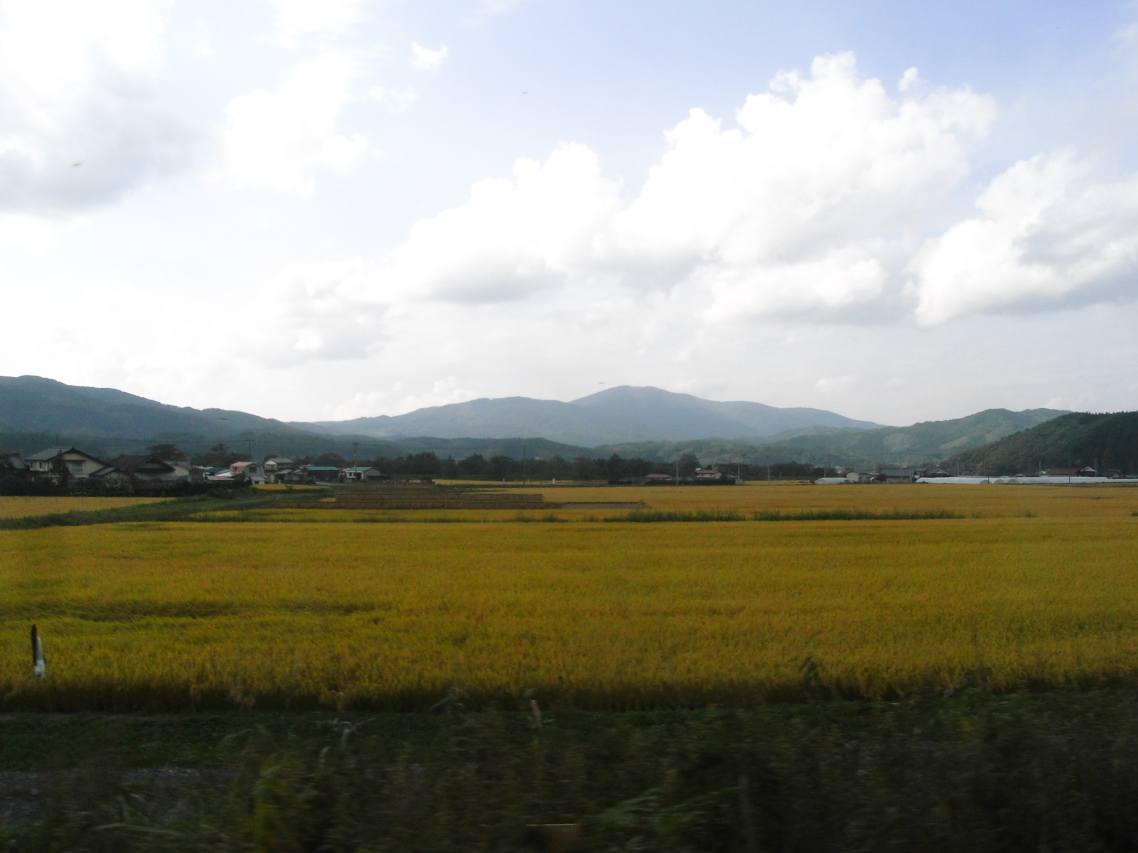
Kamaishi line view
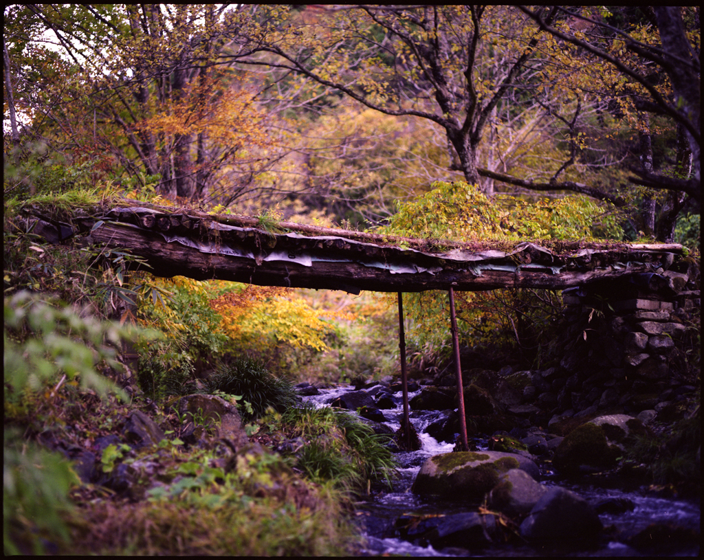
autumn small bridge
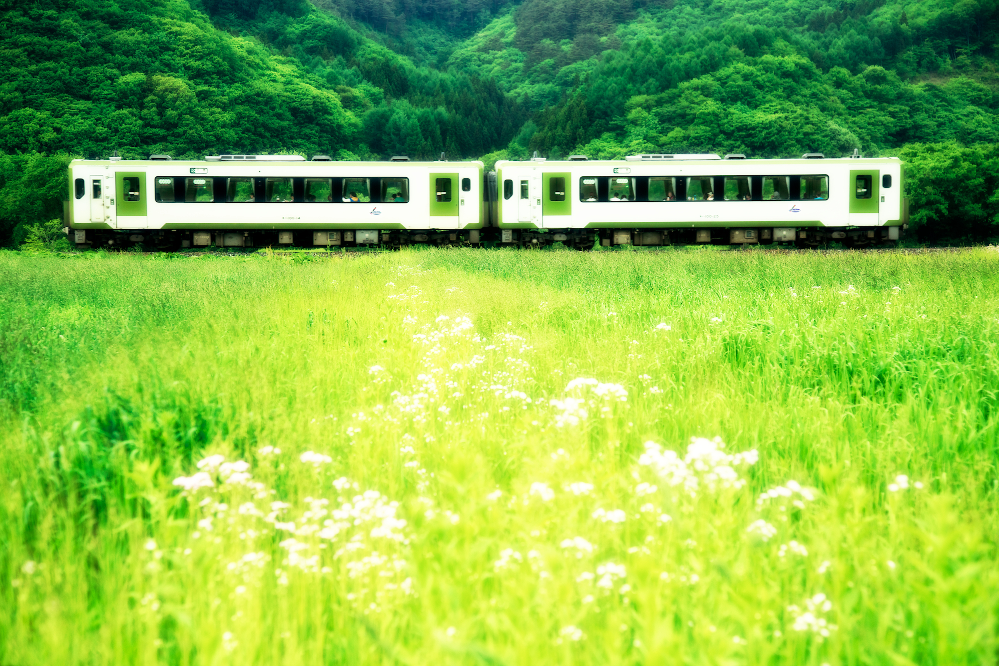
JR 釜石線・足ヶ瀬

荒神神社 Aragami shrine

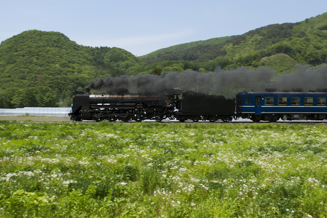
SL 銀河ドリーム号/Steam locomotive named the Galactic Dream
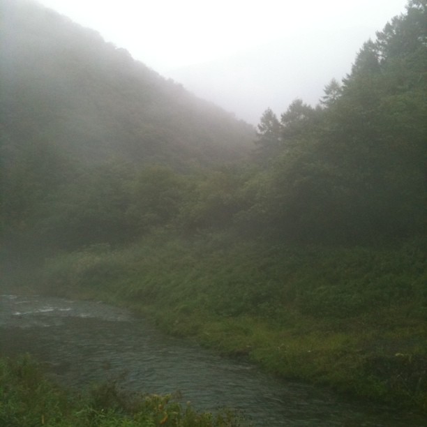
水の季節
non title
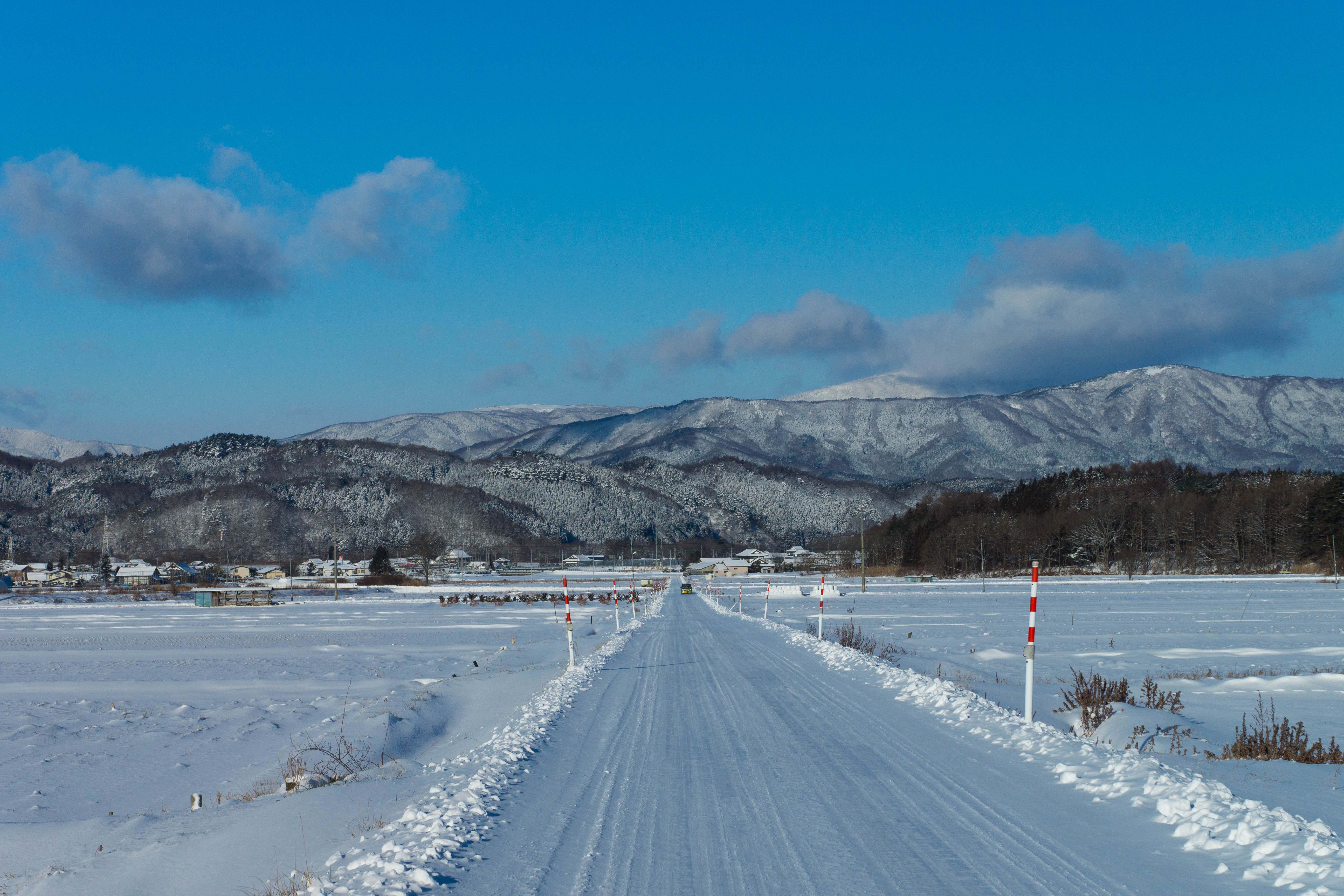
大股の朝
DSC05708.jpg
Topographic Map of Kesen District, Iwate Prefecture, Japan
Find elevation by address:

Places in Kesen District, Iwate Prefecture, Japan:
Places near Kesen District, Iwate Prefecture, Japan:
Amakaze-2-4 Setamai, Sumita-chō, Kesen-gun, Iwate-ken -, Japan
Nakagami-14 Shimoarisu, Sumita-chō, Kesen-gun, Iwate-ken -, Japan
Sumita
18 Chiwari-11 Kamigōchō Hosogoe, Tōno-shi, Iwate-ken -, Japan
3 Chiwari-99 Matsuzakichō Kōkōji, Tōno-shi, Iwate-ken -, Japan
Rikuzentakata
Nakai- Kesenchō, Rikuzentakata-shi, Iwate-ken -, Japan
Ofunato
Jinomori-48-11 Ōfunatochō, Ōfunato-shi, Iwate-ken -, Japan
Ōhatano-88 Takkonchō, Ōfunato-shi, Iwate-ken -, Japan
Dai, Kesennuma-shi, Miyagi-ken -, Japan
Ushirohanagai--17 Hirotachō, Rikuzentakata-shi, Iwate-ken -, Japan
Kesennuma
Nakazawa-80-12 Hirotachō, Rikuzentakata-shi, Iwate-ken -, Japan
8-25 Uoichibamae, Kesennuma-shi, Miyagi-ken -, Japan
45 Akaiwaōishikura, Kesennuma-shi, Miyagi-ken -, Japan
-6 Karakuwachō Nakai, Kesennuma-shi, Miyagi-ken -, Japan
2 Chome-3-1 Chidorichō, Kamaishi-shi, Iwate-ken -, Japan
Kamaishi
1 Chome-4-1 Hamachō
Recent Searches:
- Elevation of Zimmer Trail, Pennsylvania, USA
- Elevation of 87 Kilmartin Ave, Bristol, CT, USA
- Elevation of Honghe National Nature Reserve, QP95+PJP, Tongjiang, Heilongjiang, Jiamusi, Heilongjiang, China
- Elevation of Hercules Dr, Colorado Springs, CO, USA
- Elevation of Szlak pieszy czarny, Poland
- Elevation of Griffing Blvd, Biscayne Park, FL, USA
- Elevation of Kreuzburger Weg 13, Düsseldorf, Germany
- Elevation of Gateway Blvd SE, Canton, OH, USA
- Elevation of East W.T. Harris Boulevard, E W.T. Harris Blvd, Charlotte, NC, USA
- Elevation of West Sugar Creek, Charlotte, NC, USA