Elevation of Kermanshah, Kermanshah Province, Iran
Location: Iran > Kermanshah Province >
Longitude: 47.0777685
Latitude: 34.3276924
Elevation: 1342m / 4403feet
Barometric Pressure: 86KPa
Elevation Map:
Satellite Map:
Related Photos:
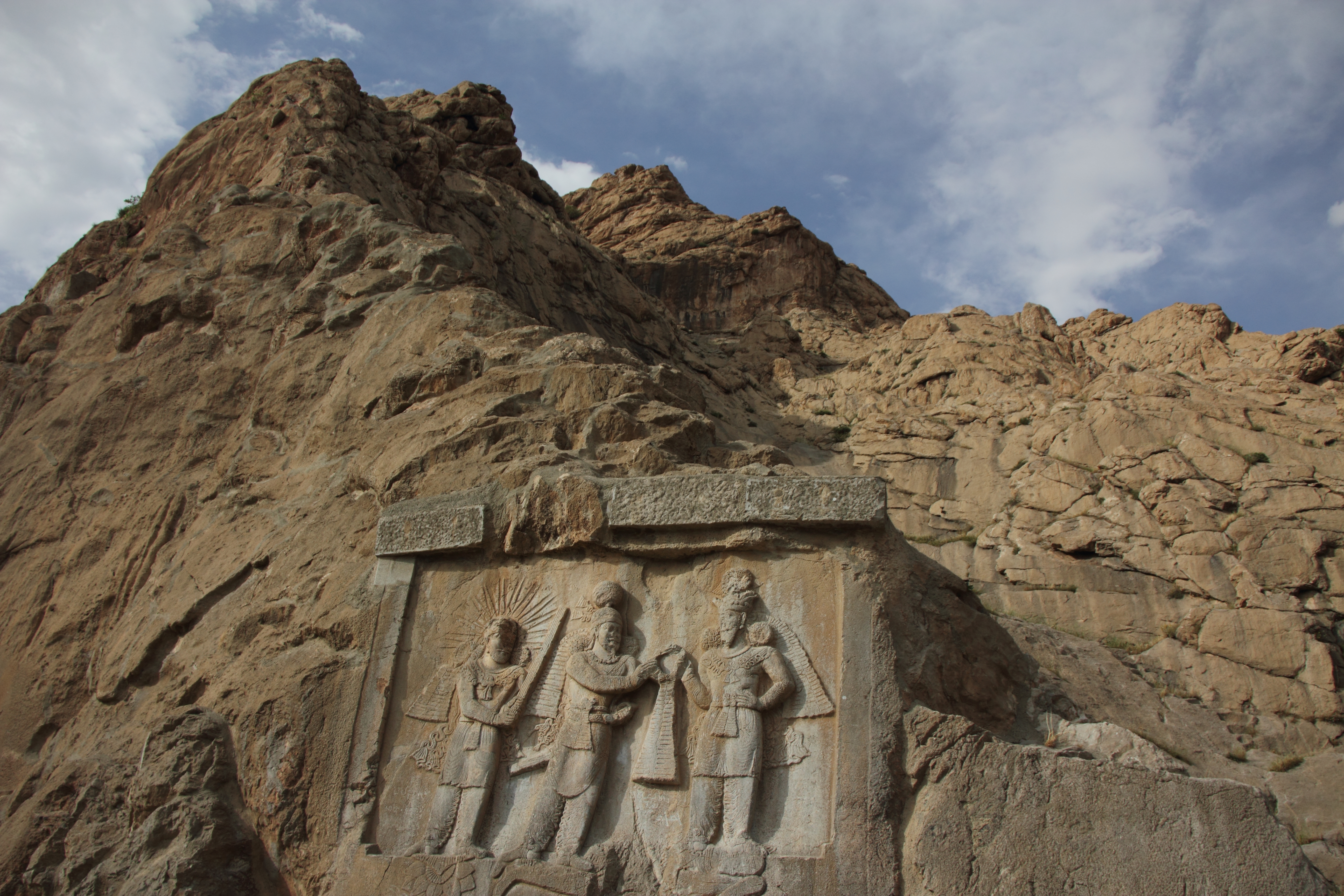
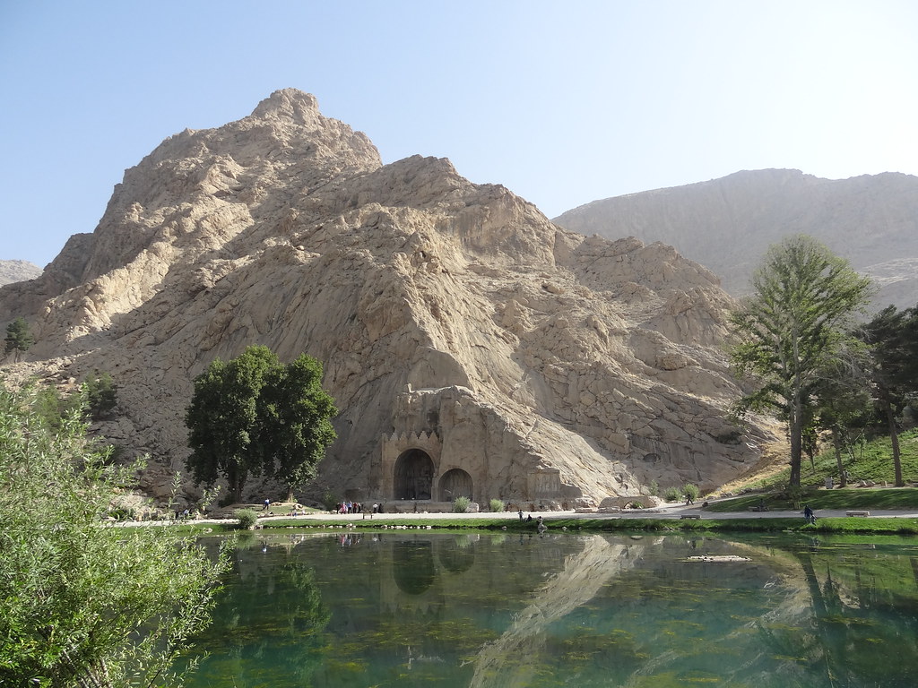
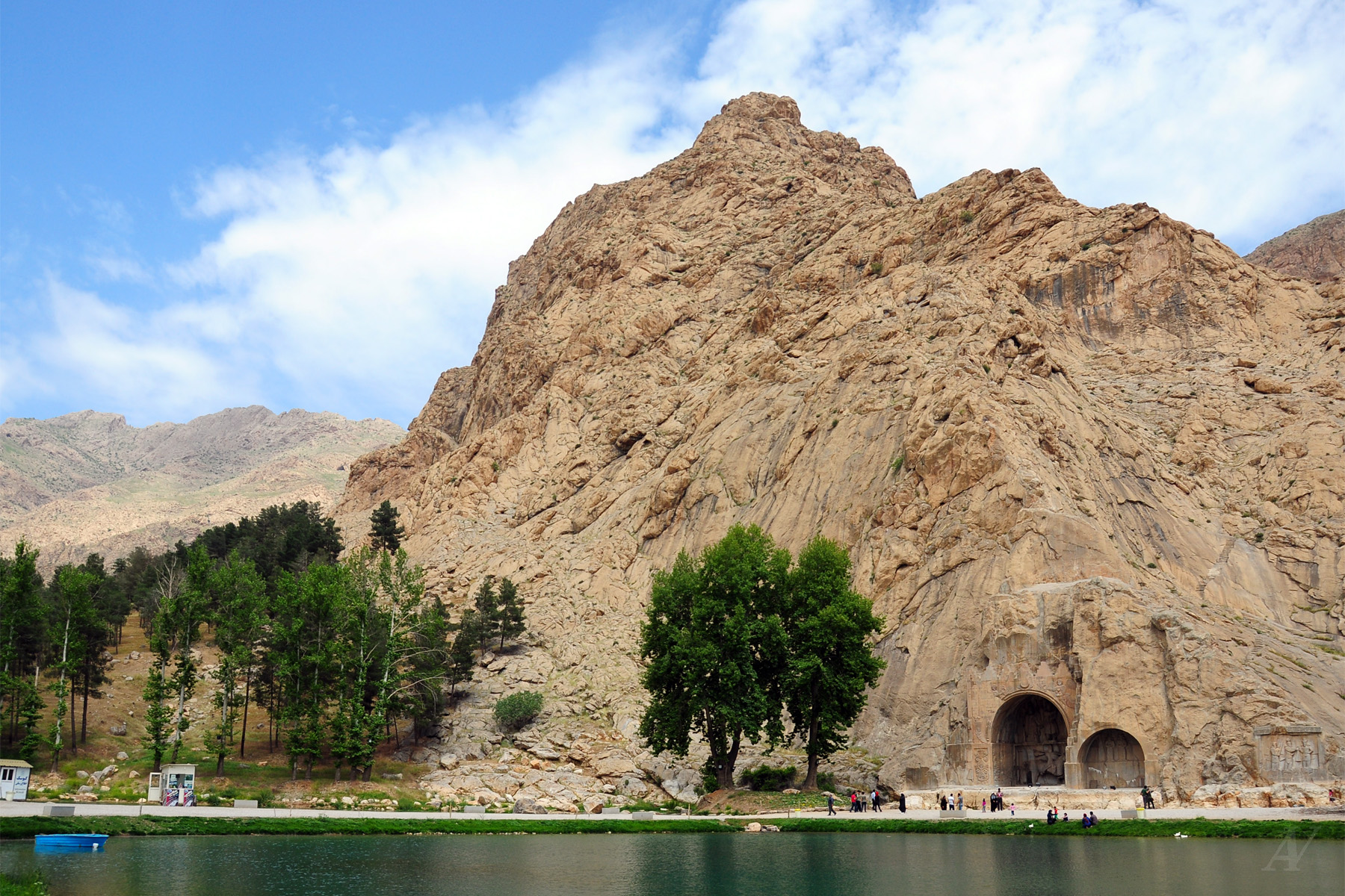
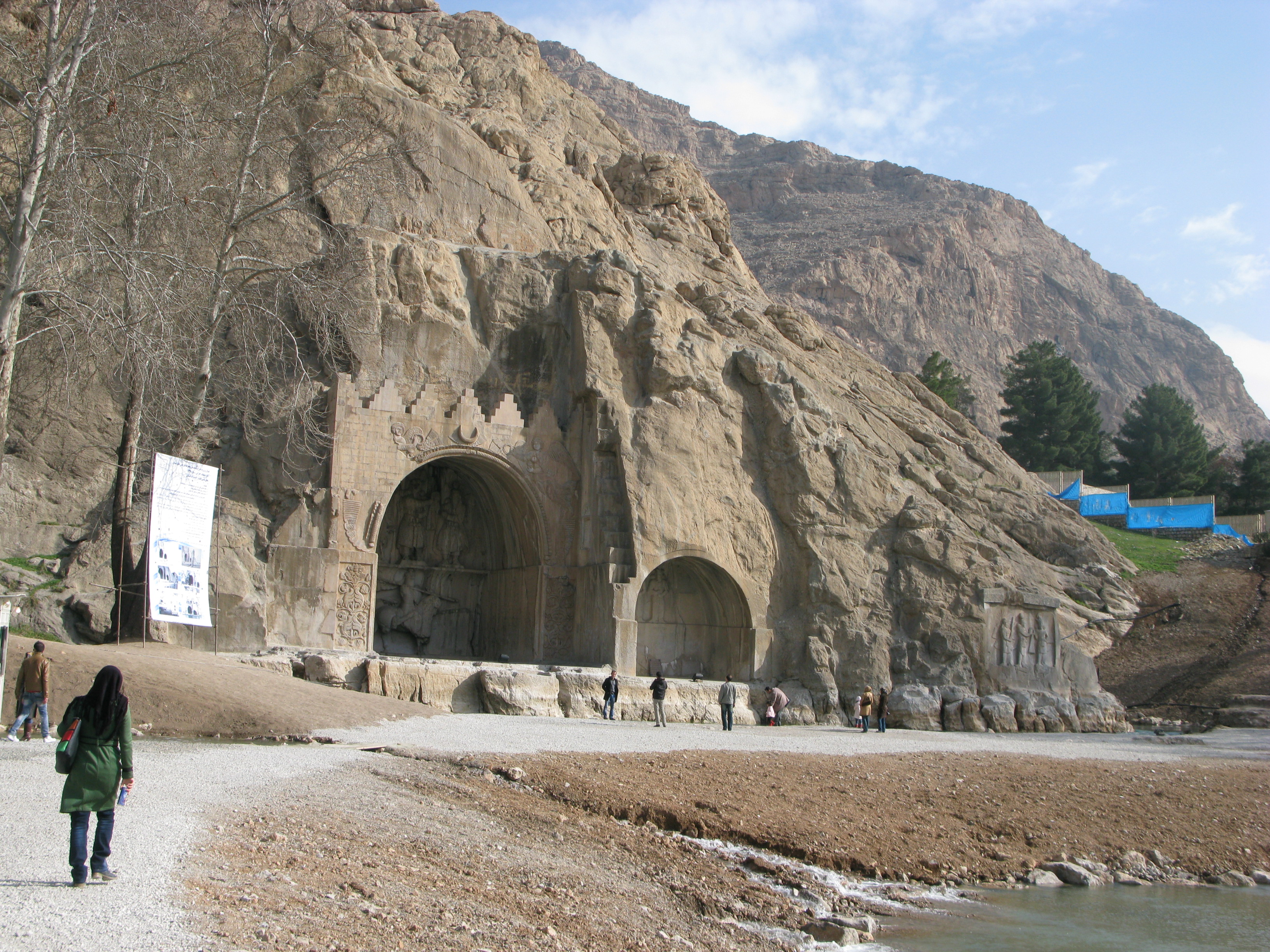
IRAN - Taq-e bostan

Taghbostan Kermanshah
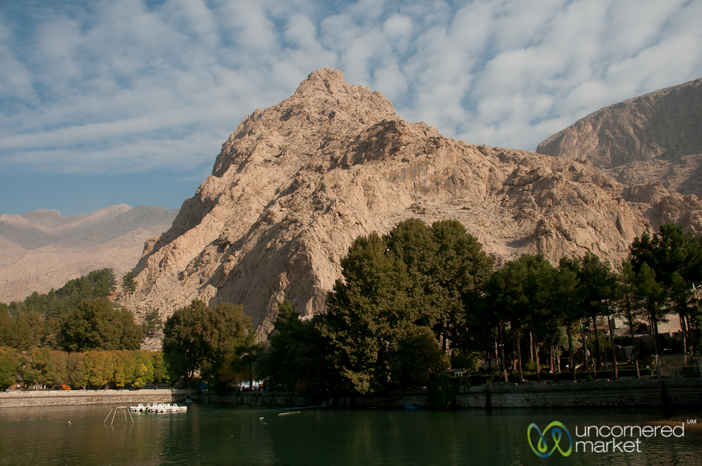
Kermanshah Mountain Landscape - Iran
0808 Gonbad-e Jabalieh - 04

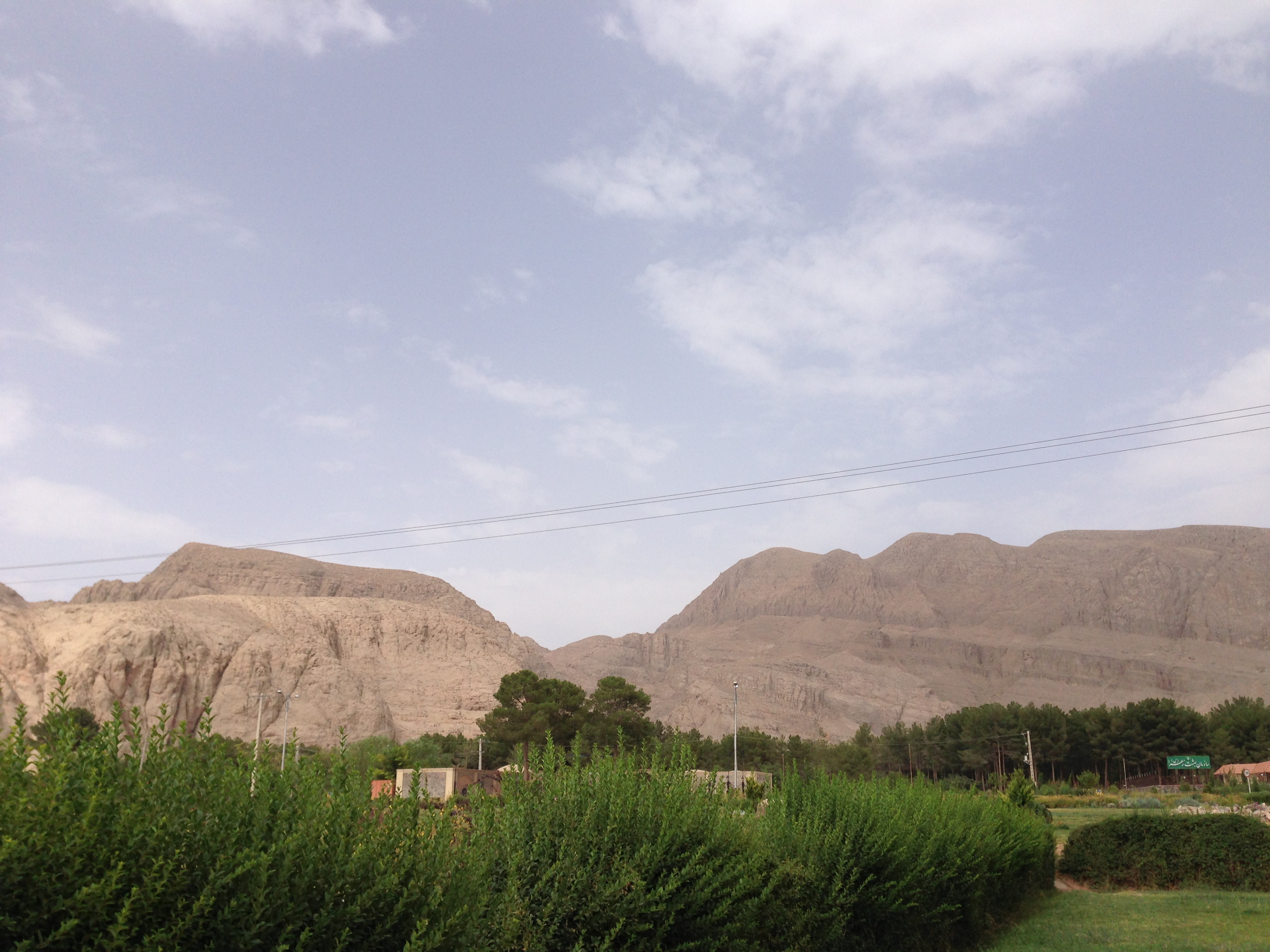
Kermanshah to Paveh road - West of Iran ---- مسير كرمانشاه به پاوه
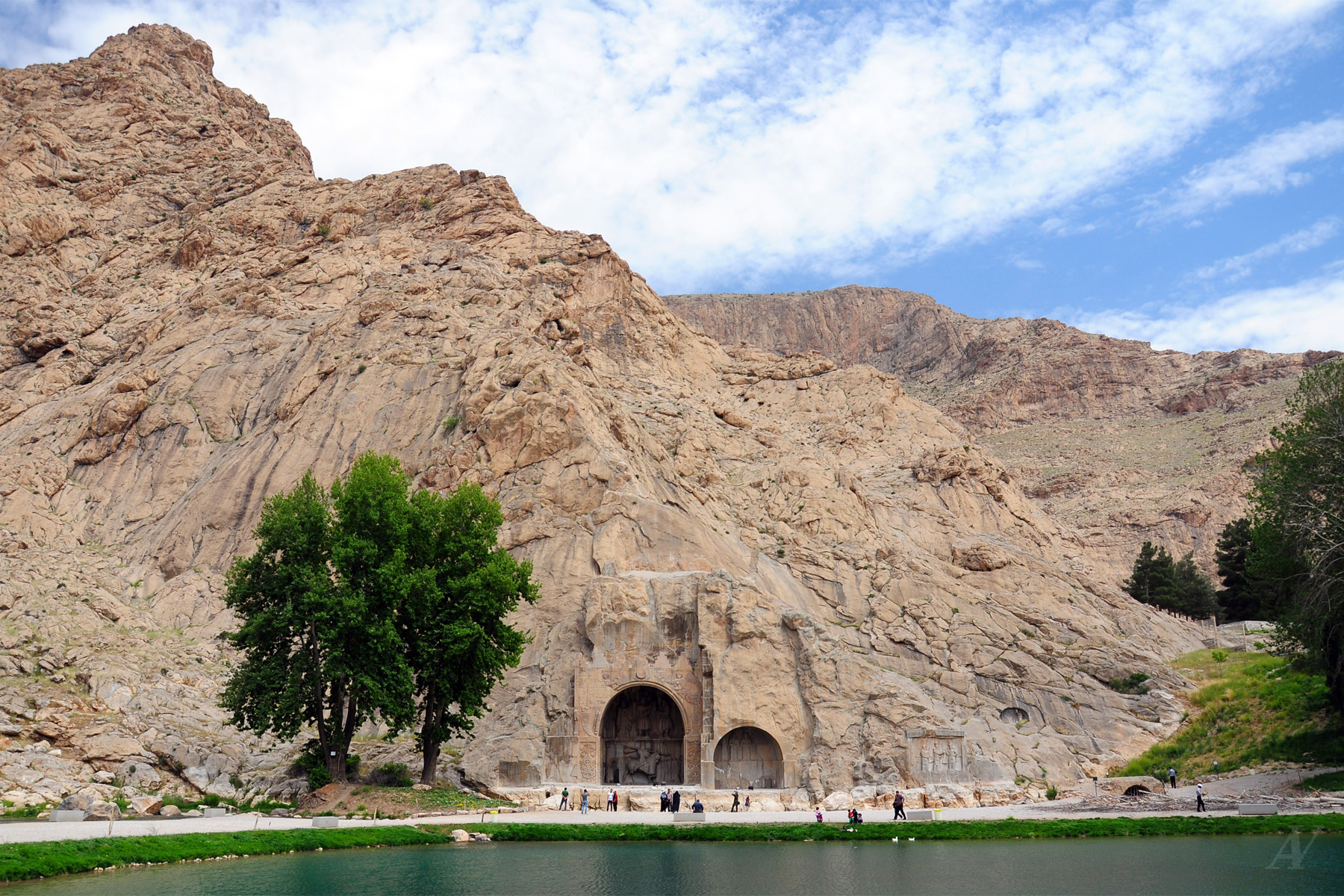
Tagh-e-Bostan
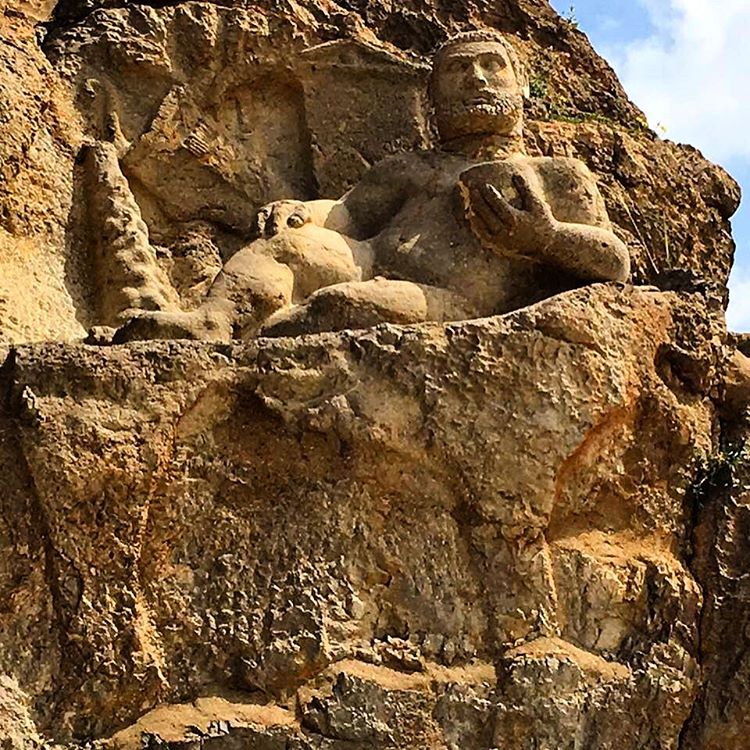
#bestoftheday #iran #kermanshah #iphoneonly #hercules #relife #ancient #
iran 2016

iran 2016
Tagh-e-Bostan
iran-kermanshah
Topographic Map of Kermanshah, Kermanshah Province, Iran
Find elevation by address:

Places in Kermanshah, Kermanshah Province, Iran:
Places near Kermanshah, Kermanshah Province, Iran:
Behzisti
Akbarabad
Tazeh Abad
Kermanshah Province
Kamyaran
Harsin
Eslamabad Industrial City
Ravansar
Eslamabad-e-gharb
Sahneh
Tazeabad
Sonqor
Sarab
Javanrud
Sarableh
Gorji Bayan
Palangan
Recent Searches:
- Elevation of Warwick, RI, USA
- Elevation of Fern Rd, Whitmore, CA, USA
- Elevation of 62 Abbey St, Marshfield, MA, USA
- Elevation of Fernwood, Bradenton, FL, USA
- Elevation of Felindre, Swansea SA5 7LU, UK
- Elevation of Leyte Industrial Development Estate, Isabel, Leyte, Philippines
- Elevation of W Granada St, Tampa, FL, USA
- Elevation of Pykes Down, Ivybridge PL21 0BY, UK
- Elevation of Jalan Senandin, Lutong, Miri, Sarawak, Malaysia
- Elevation of Bilohirs'k