Elevation of Kenton, MB R0M 0Z0, Canada
Location: Canada > Manitoba > Division No. 6 >
Longitude: -100.61294
Latitude: 49.985892
Elevation: 451m / 1480feet
Barometric Pressure: 96KPa
Elevation Map:
Satellite Map:
Related Photos:

Creek

Church and Aurora
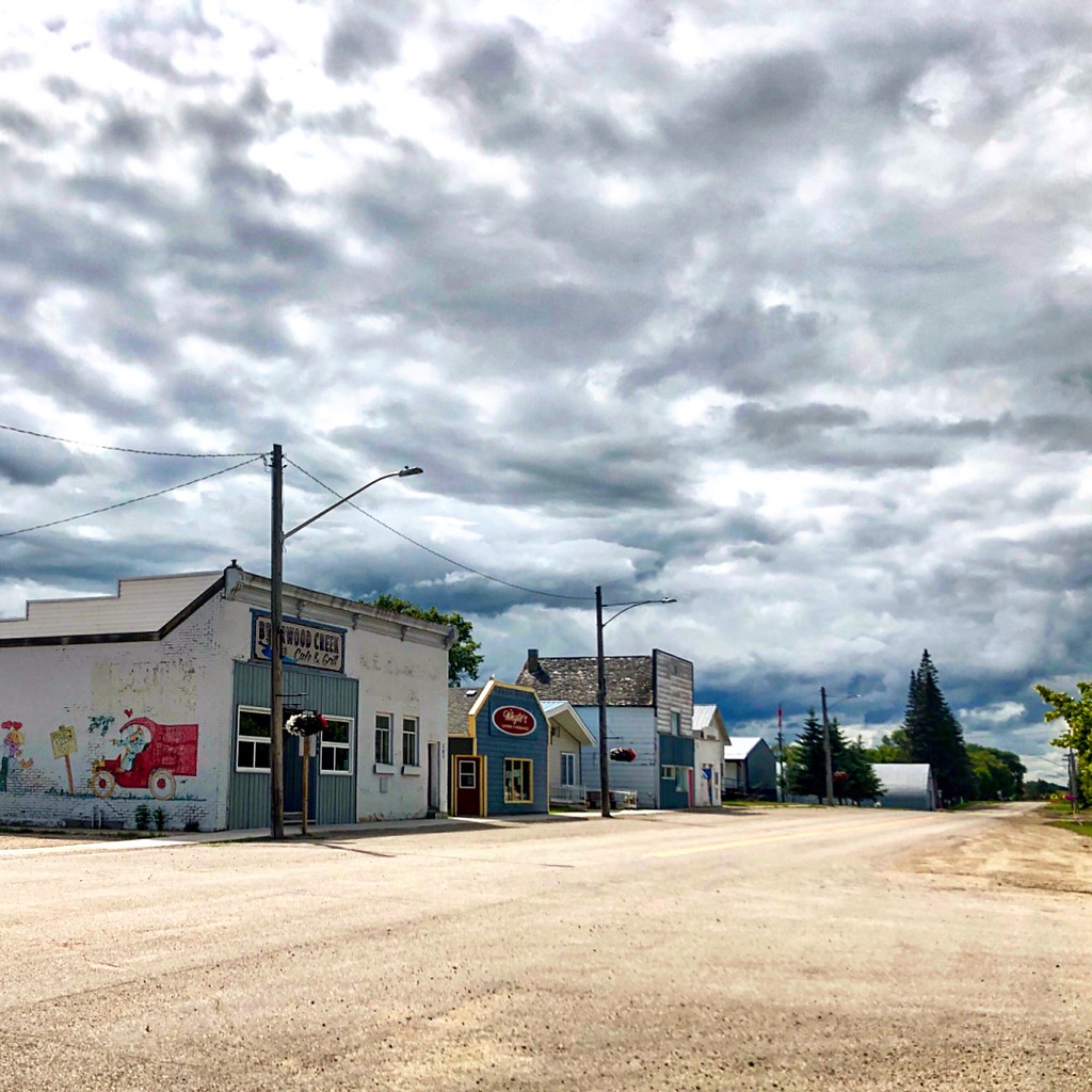
Downtown Kenton
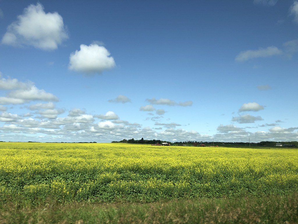
Canola field

Country Roads, 2014.

CRGX 607
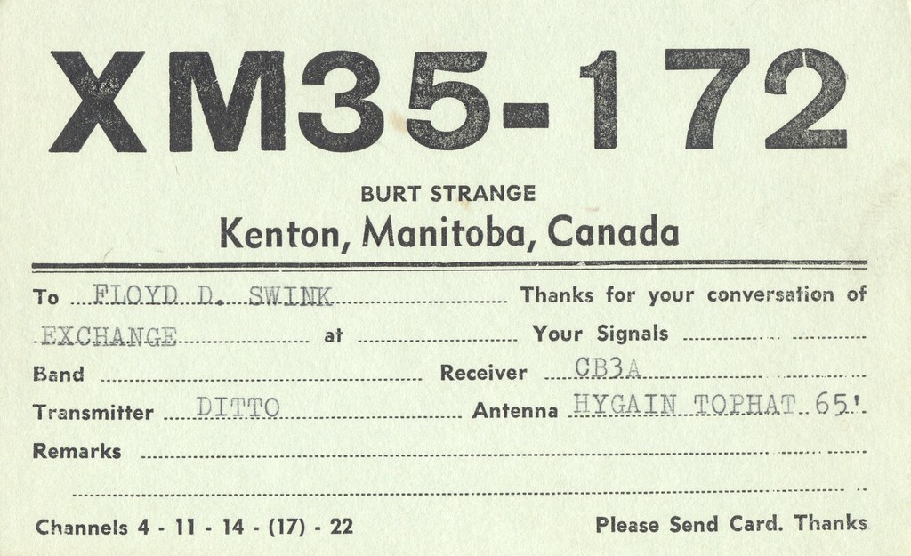
Burt Strange - Kenton, Manitoba
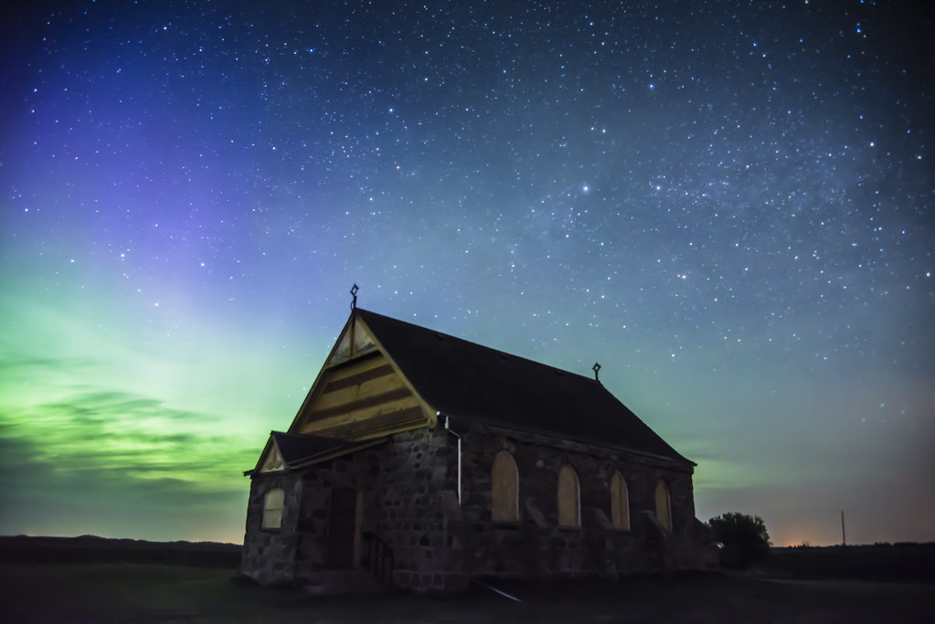
Church and the Lights

Grain Elevator

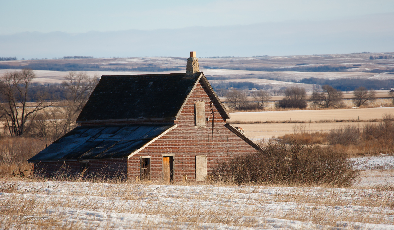
The Isaac House
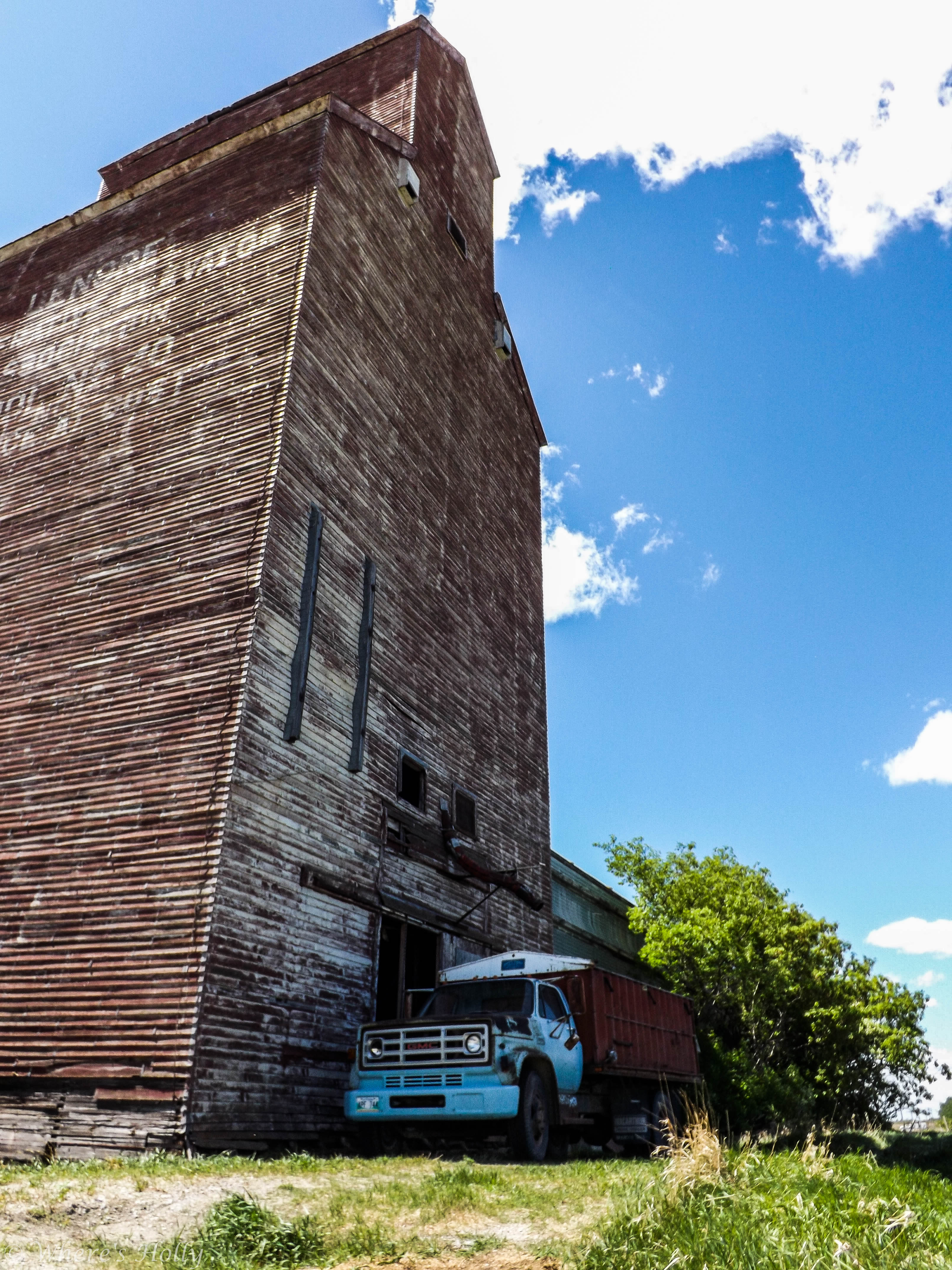
Lenore Grain Elevator
Over The Hill

The Cow House

English Bay Pale Ale

In the hills west of Brandon

Harding fair

One from the archives - Mom's horse

Manitoba 06 149

Manitoba 06 144

Manitoba 06 136

Manitoba 06 142

Manitoba 06 135
Topographic Map of Kenton, MB R0M 0Z0, Canada
Find elevation by address:

Places near Kenton, MB R0M 0Z0, Canada:
Daly St, Lenore, MB R0M 1E0, Canada
Lenore
Woodworth
Sioux Valley Dakota Nation
Hamiota
2nd Ave W, Oak Lake, MB R0M 1P0, Canada
Oak Lake
Oak River
Virden
Alexander
Rivers
Division No. 15
Division No. 6
Third Ave, Rivers, MB R0K 1X0, Canada
Shoal Lake
Strathclair
30 Saskatchewan St, Strathclair, MB R0J 2C0, Canada
Shoal Lake
Souris
97 4th Ave E
Recent Searches:
- Elevation of Great Brook Sports, Gold Star Hwy, Groton, CT, USA
- Elevation of 10 Mountain Laurels Dr, Nashua, NH, USA
- Elevation of 16 Gilboa Ln, Nashua, NH, USA
- Elevation of Laurel Rd, Townsend, TN, USA
- Elevation of 3 Nestling Wood Dr, Long Valley, NJ, USA
- Elevation of Ilungu, Tanzania
- Elevation of Yellow Springs Road, Yellow Springs Rd, Chester Springs, PA, USA
- Elevation of Rēzekne Municipality, Latvia
- Elevation of Plikpūrmaļi, Vērēmi Parish, Rēzekne Municipality, LV-, Latvia
- Elevation of 2 Henschke Ct, Caboolture QLD, Australia