Elevation of Kenong Rimba Park, Tourist Information Centre, Kuala Lipis, Pahang, Malaysia
Location: Malaysia > Pahang > Kuala Lipis >
Longitude: 102.053961
Latitude: 4.1802152
Elevation: -10000m / -32808feet
Barometric Pressure: 295KPa
Elevation Map:
Satellite Map:
Related Photos:

Halo
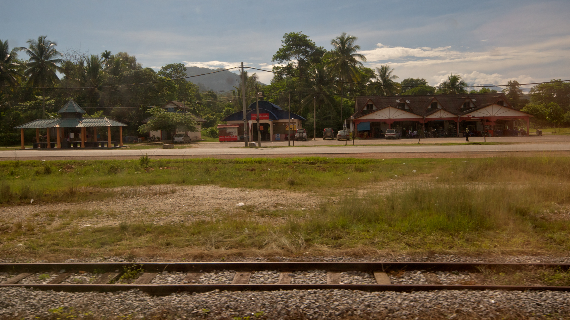
Jungle Railway

Jungle Railway

Station Perspective

Kuala Lipis, Pahang

Kuala Lipis, Pahang

KFC Timeee!!!

Lepaking in early morning

My Classmate

Not for eating

Export industry

Hunters returning home

Orang asli hut

Natives village

Evening guests

Before the sunset

On the road

Flora & Fauna

Bat attack

Sneaky snake

"Small" ant

Just hanging 'round

Muddy old river

Once upon a time - Malaysia - Kuala Lipis
Topographic Map of Kenong Rimba Park, Tourist Information Centre, Kuala Lipis, Pahang, Malaysia
Find elevation by address:

Places near Kenong Rimba Park, Tourist Information Centre, Kuala Lipis, Pahang, Malaysia:
Kuala Lipis
Jalan Jelai
Malaysia
Jalan Bapong - Ulu Teris
Benta
Kampung Batu Talam
Klinik Desa Ulu Sungai
Jerantut
Jerantut
Raub
Raub District
Kampung Bukit Ketupat
Rc92+3w
Surau Kampung Baru Lurah Bilut
Teras
Jalan Girdle
Fraser Hill (bukit Fraser)
Richmond Bungalow
Bukit Fraser
Fraser's Hill
Recent Searches:
- Elevation of Congressional Dr, Stevensville, MD, USA
- Elevation of Bellview Rd, McLean, VA, USA
- Elevation of Stage Island Rd, Chatham, MA, USA
- Elevation of Shibuya Scramble Crossing, 21 Udagawacho, Shibuya City, Tokyo -, Japan
- Elevation of Jadagoniai, Kaunas District Municipality, Lithuania
- Elevation of Pagonija rock, Kranto 7-oji g. 8"N, Kaunas, Lithuania
- Elevation of Co Rd 87, Jamestown, CO, USA
- Elevation of Tenjo, Cundinamarca, Colombia
- Elevation of Côte-des-Neiges, Montreal, QC H4A 3J6, Canada
- Elevation of Bobcat Dr, Helena, MT, USA