Elevation of Kenney Peak, New Mexico, USA
Location: United States > New Mexico > Otero County > La Luz >
Longitude: -105.83472
Latitude: 33.0036111
Elevation: 1979m / 6493feet
Barometric Pressure: 80KPa
Elevation Map:
Satellite Map:
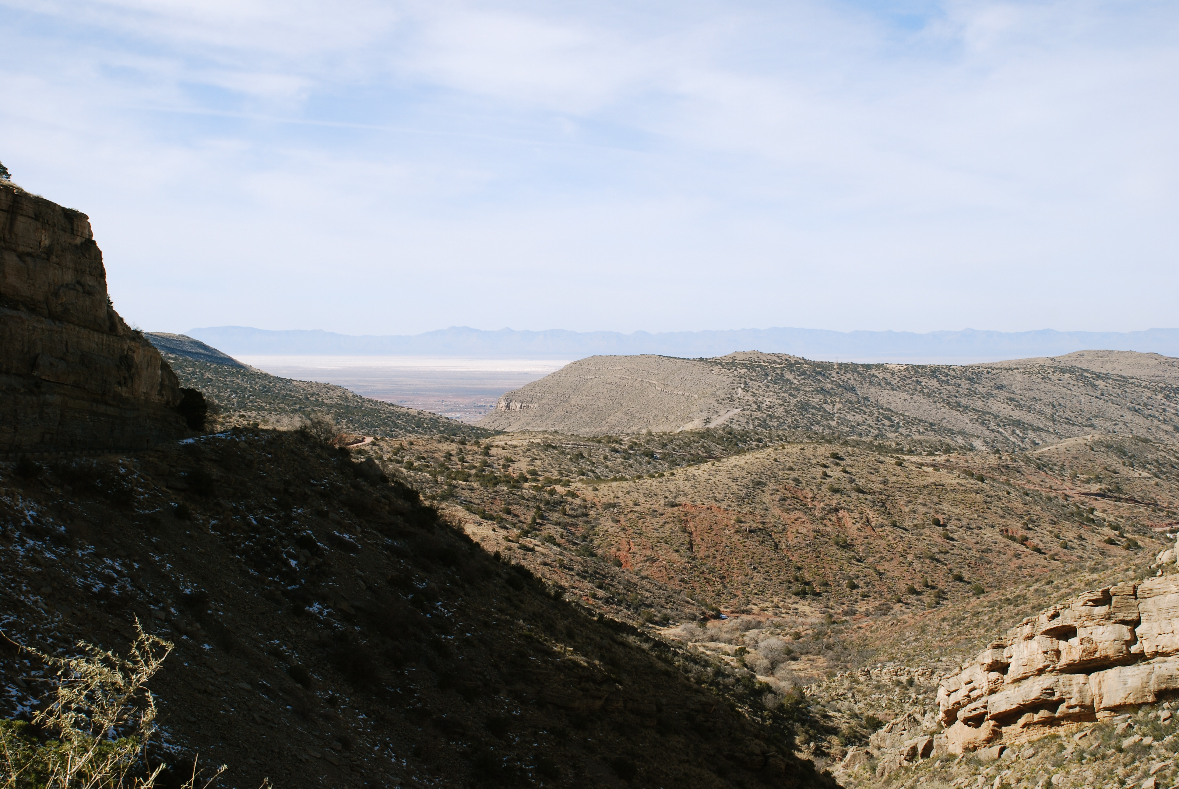
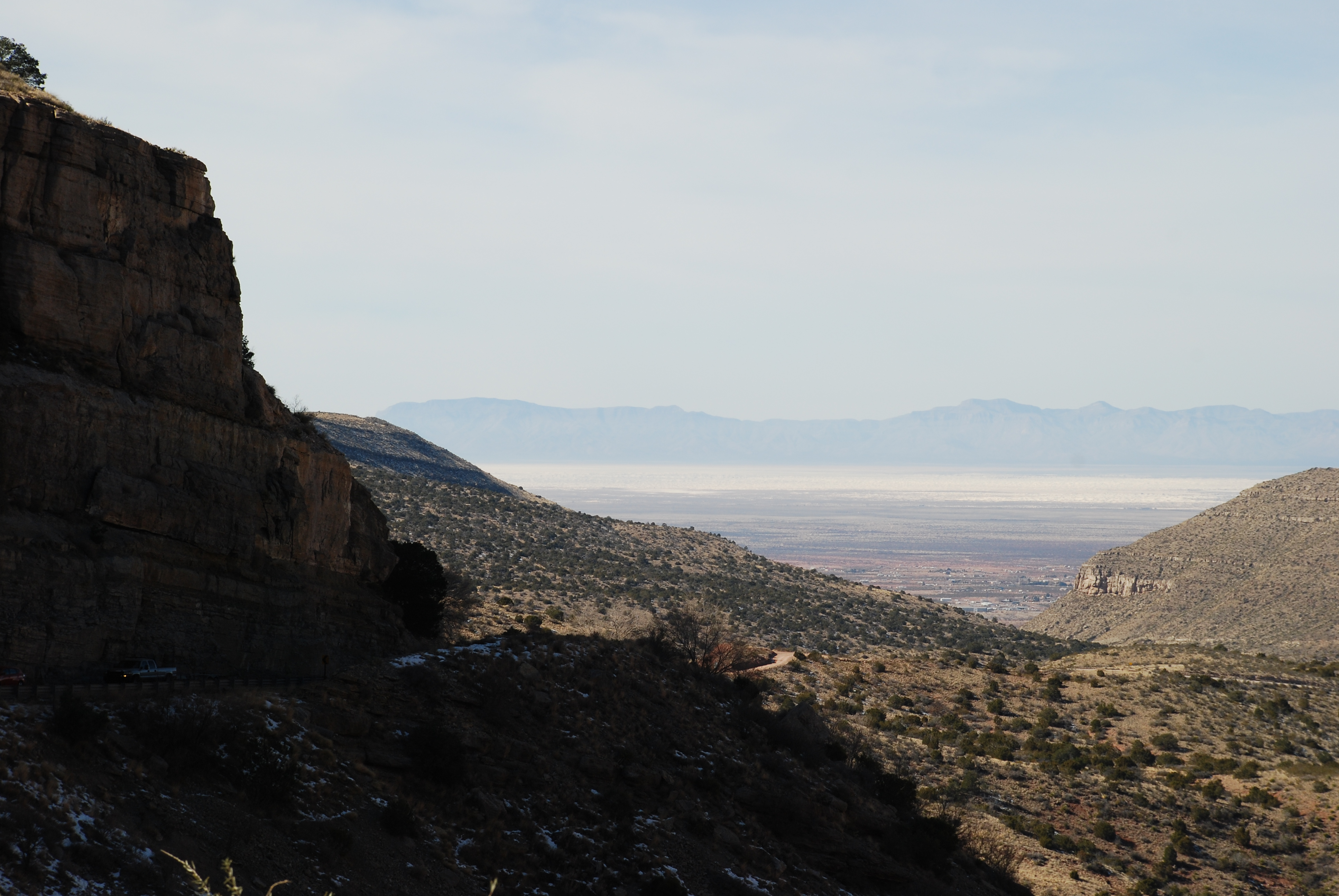
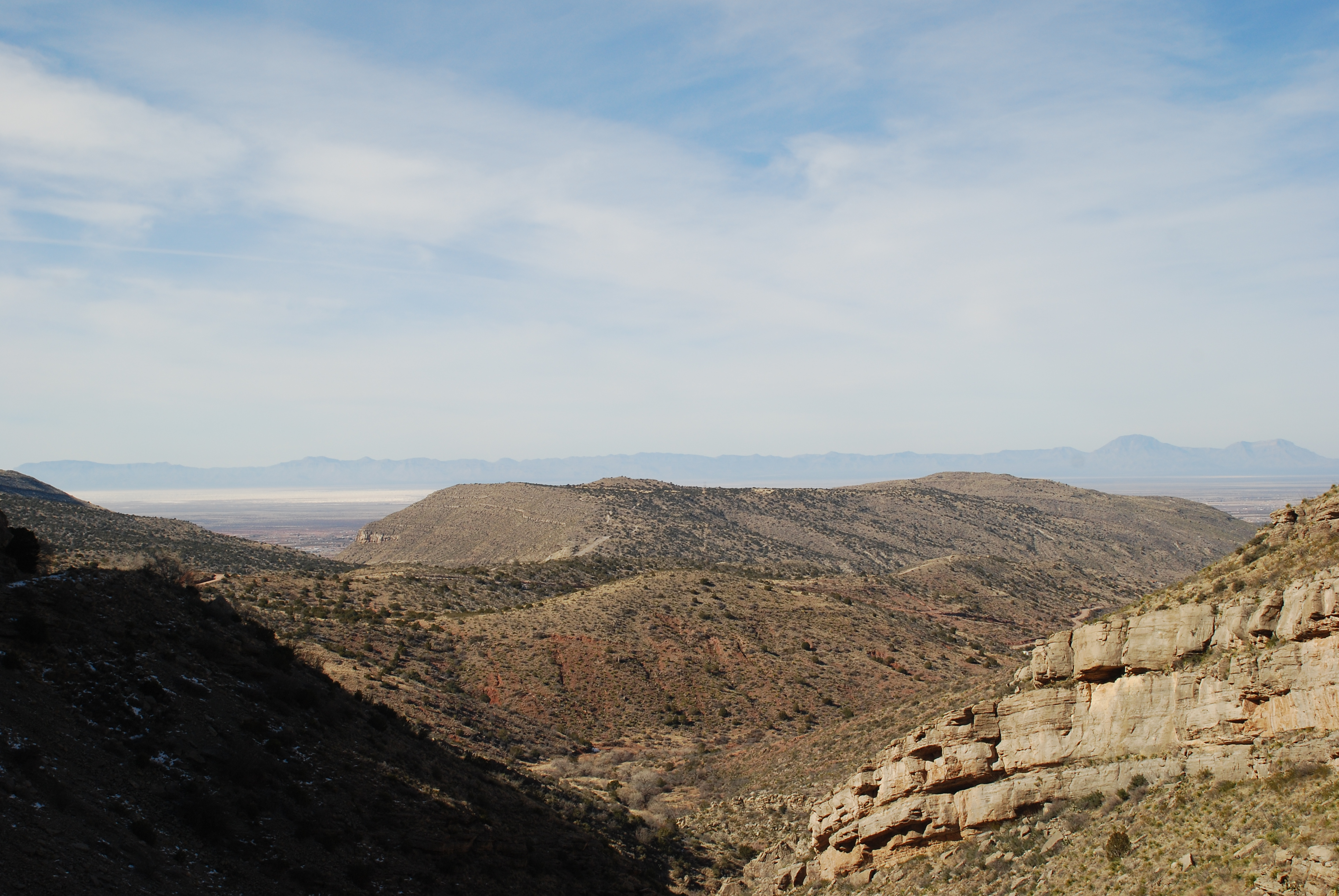
Related Photos:

Desert life

High Rolls - Farsightedness

Mexican Canyon Trestle
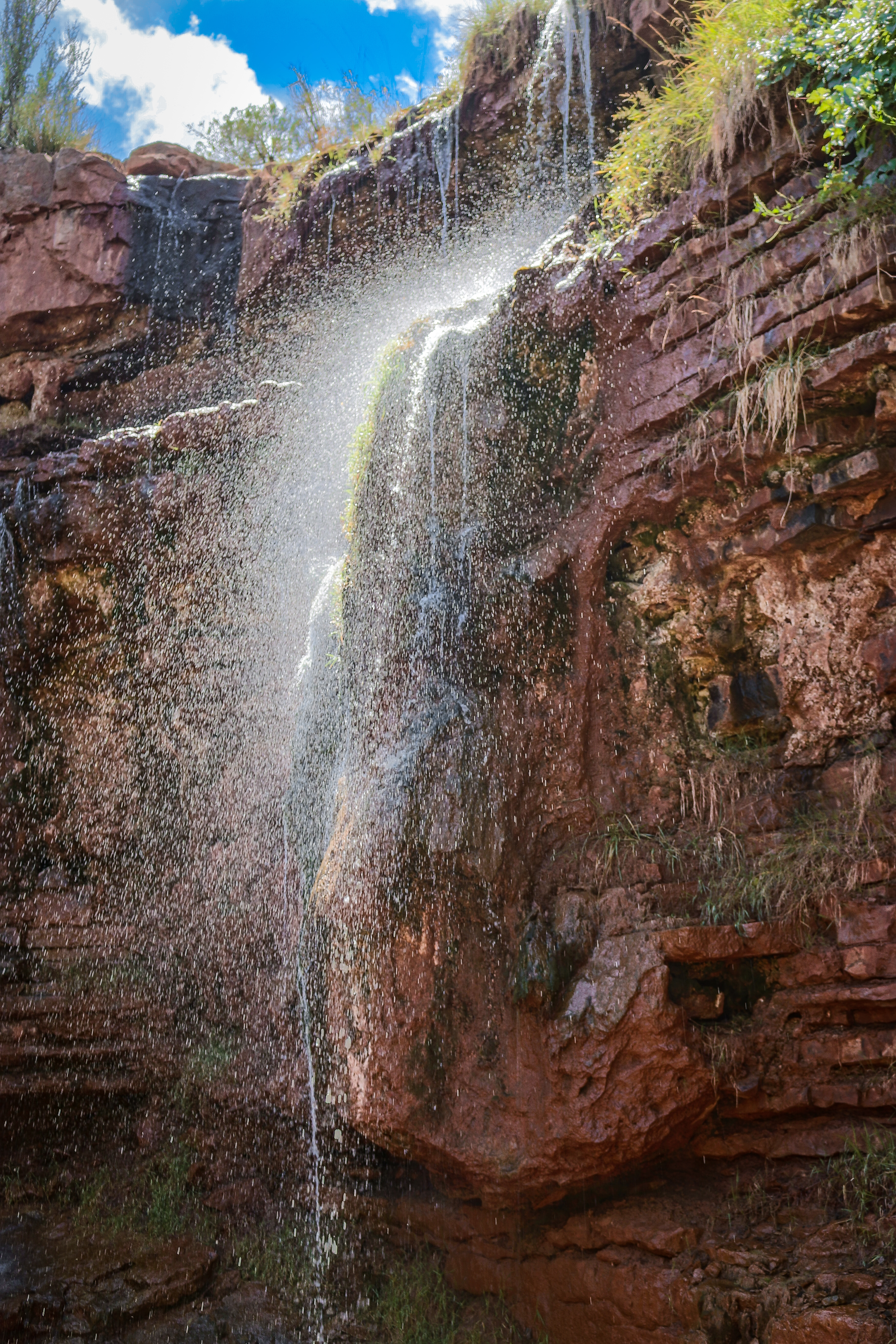
Bridal Veil Falls hike-0098
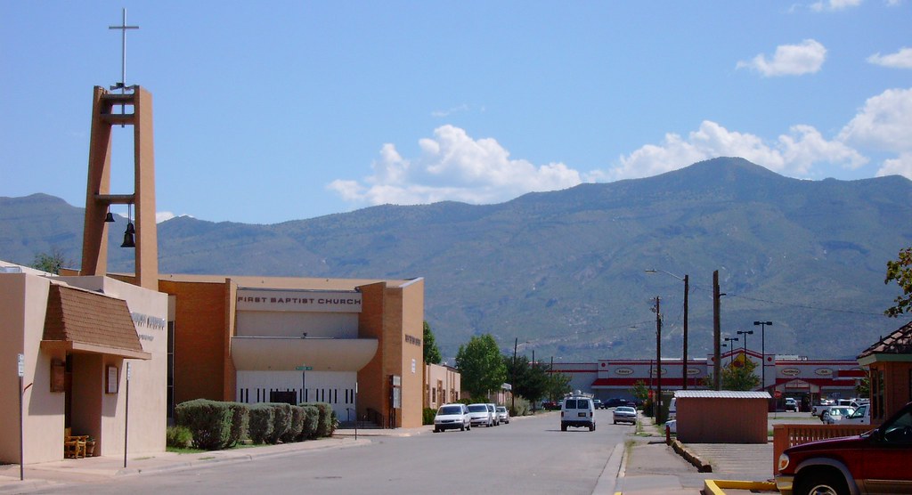
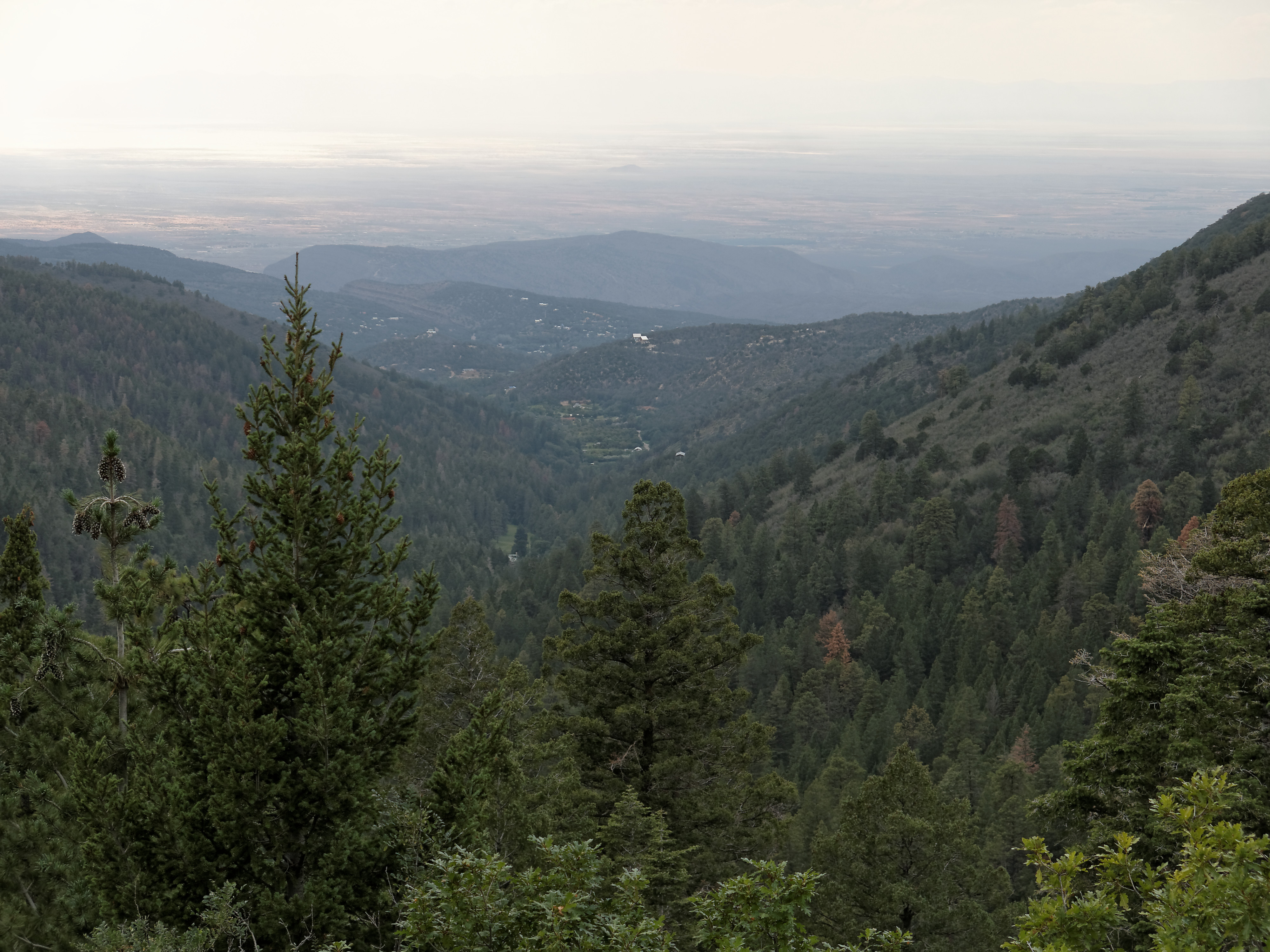
High Rolls Mountain View
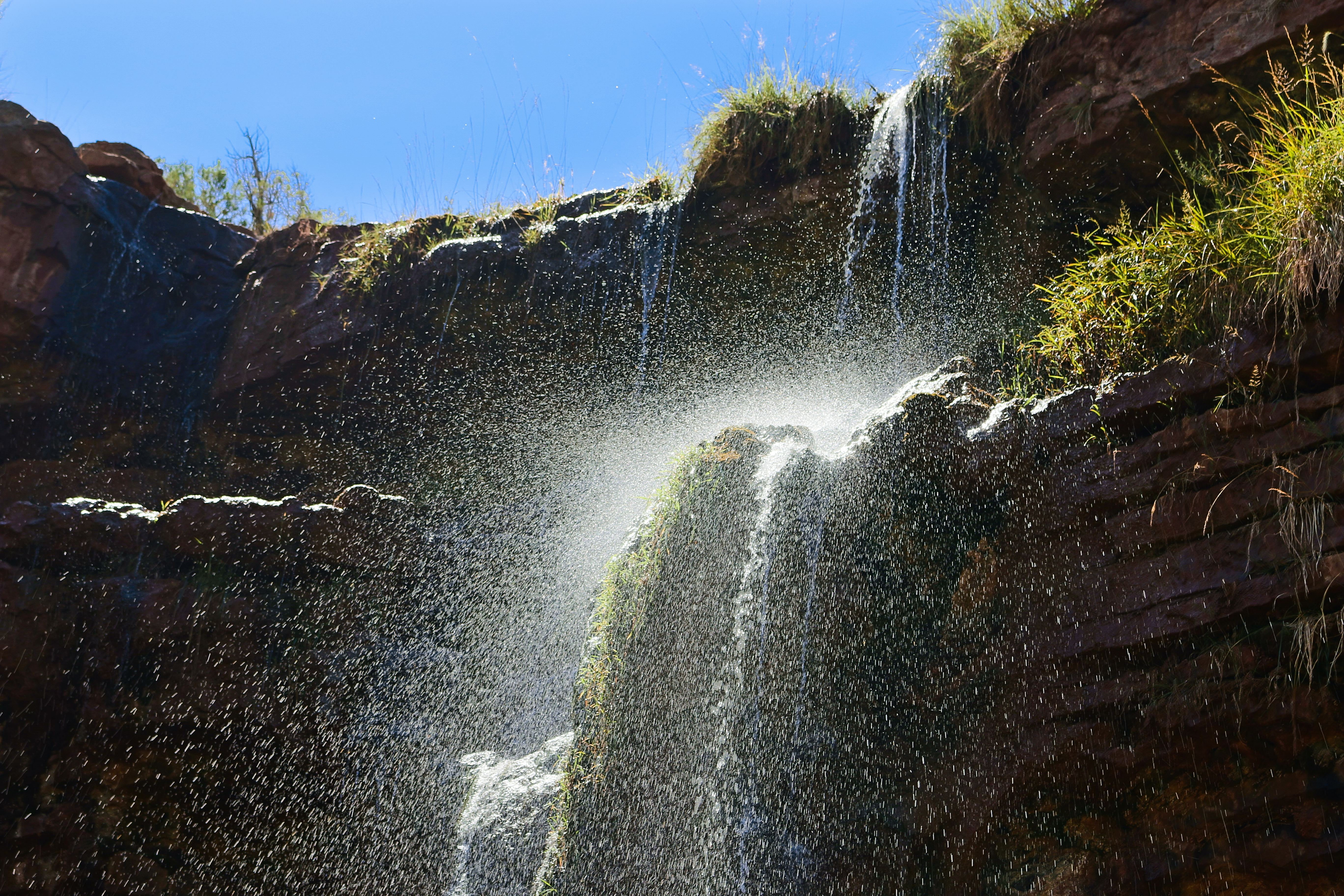
Bridal Veil Falls hike-0062

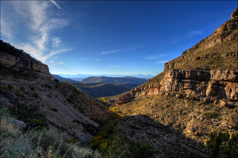
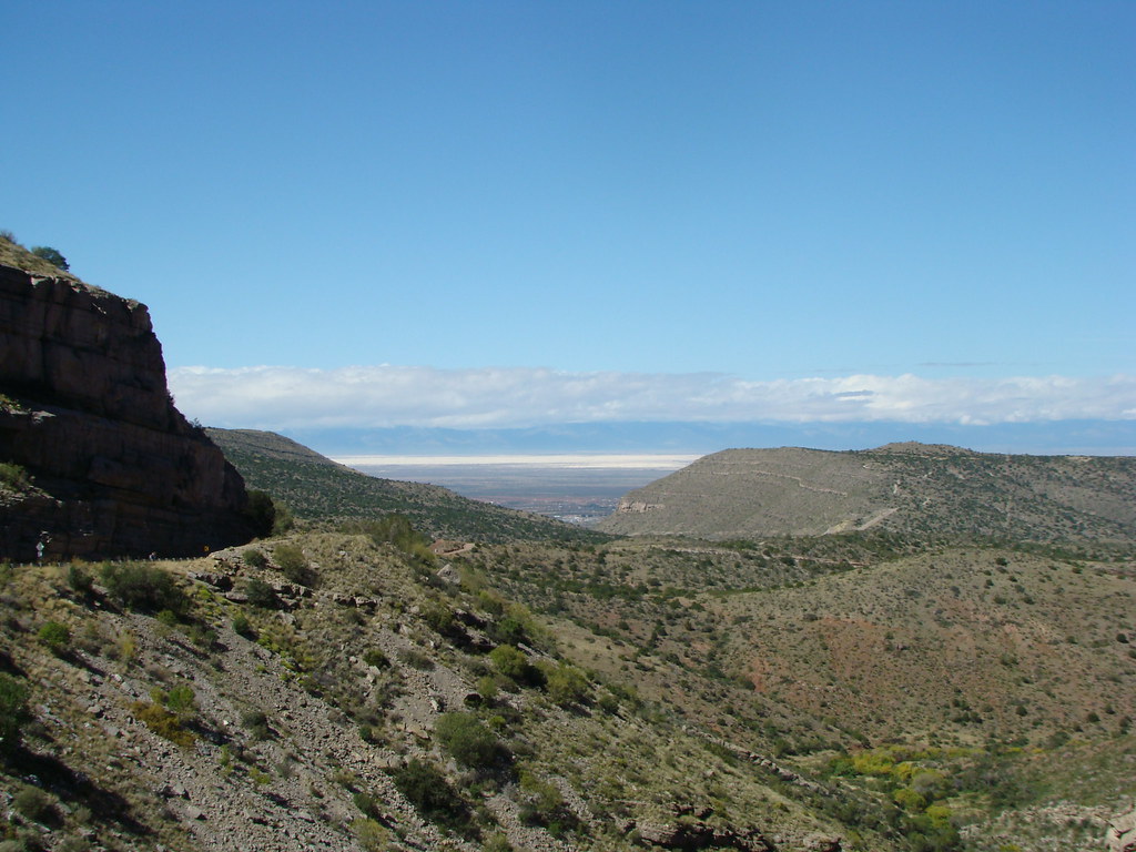
Sacramento Mountains

Bridal Veil Falls hike-0114
Sacramento Mountains (Alamogordo, New Mexico)
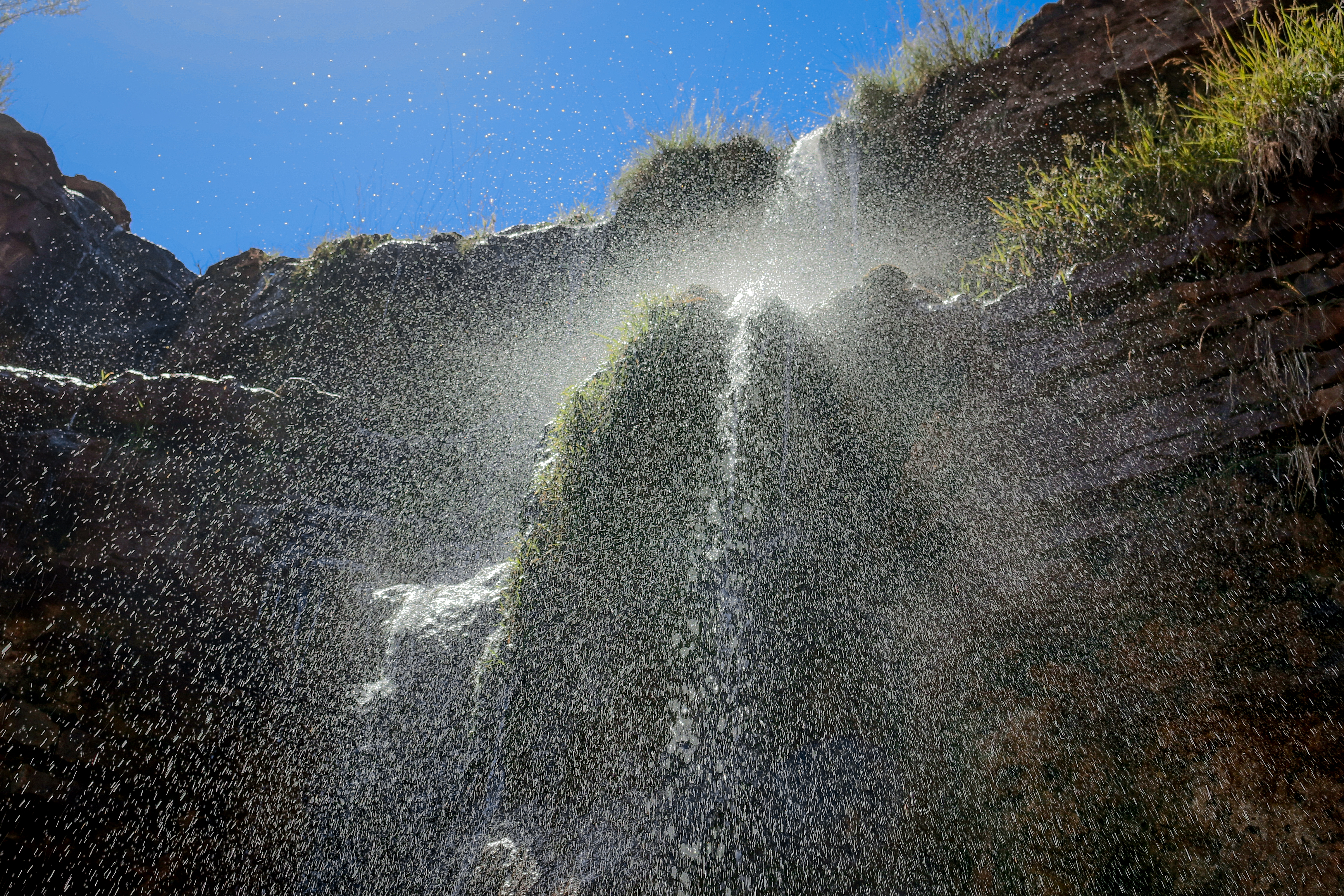
Bridal Veil Falls hike-0095
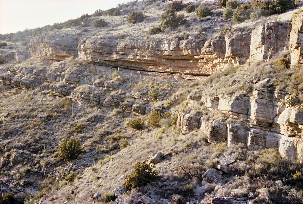
Rocky ledges
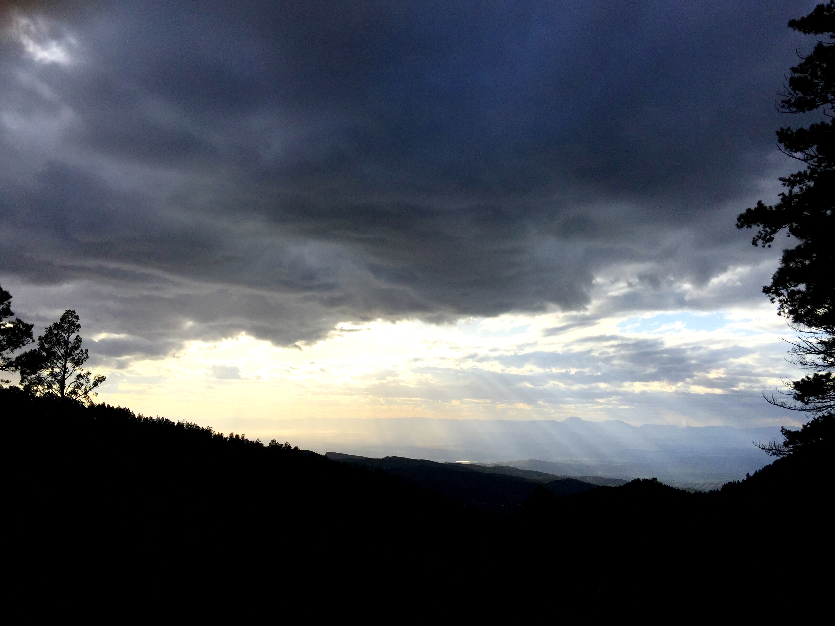
New Mexico looking West.
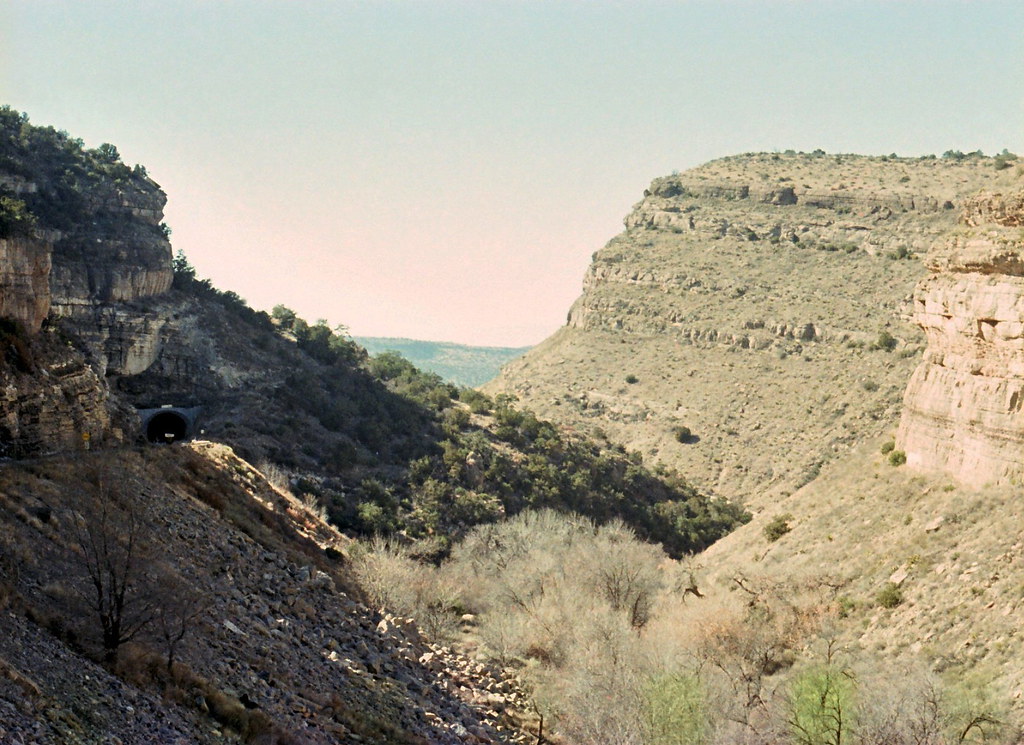
Tunnel vision
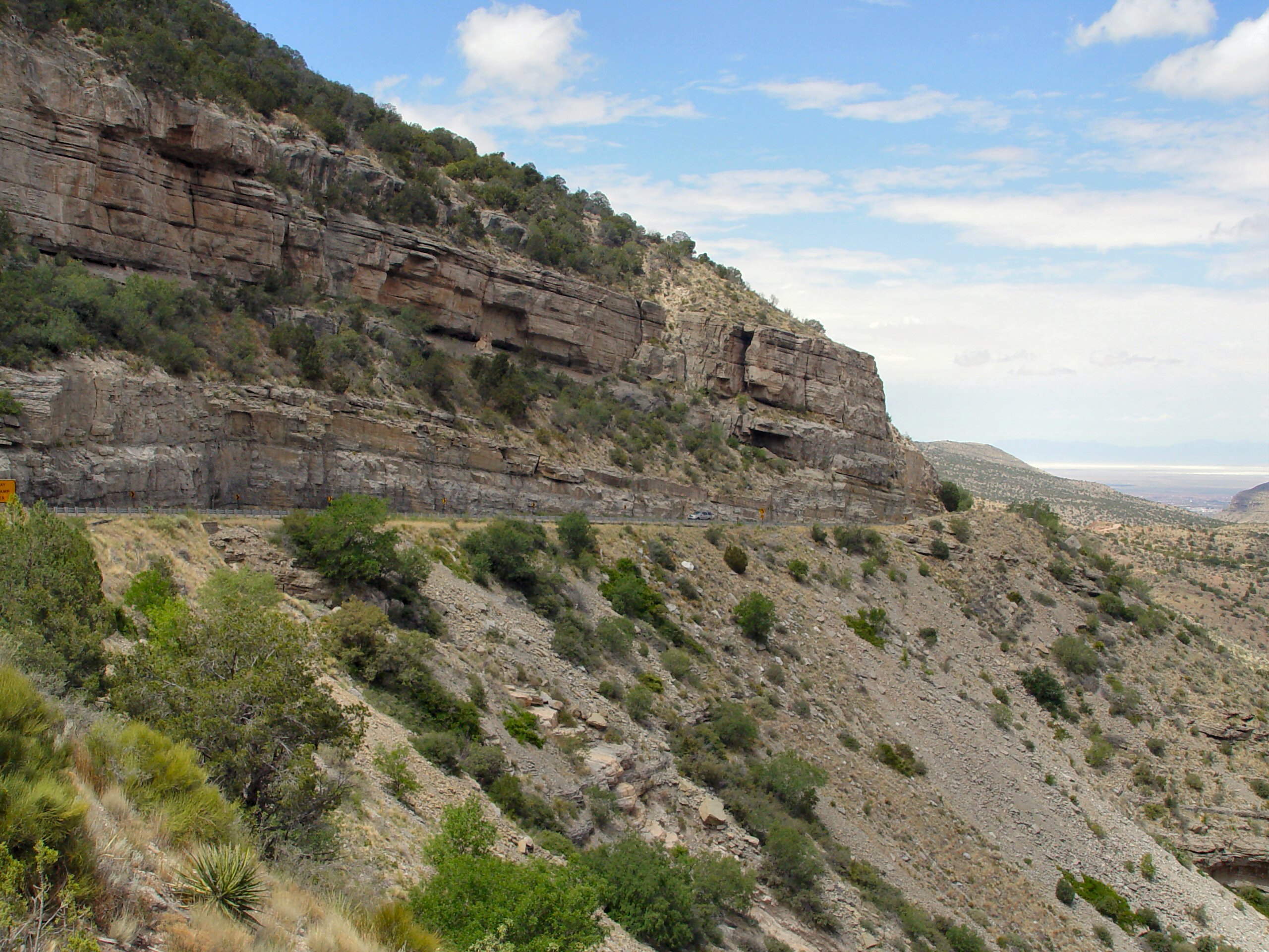
Fresnal Canyon, White Sands, and the Tularosa Basin
Sunspot Hwy View
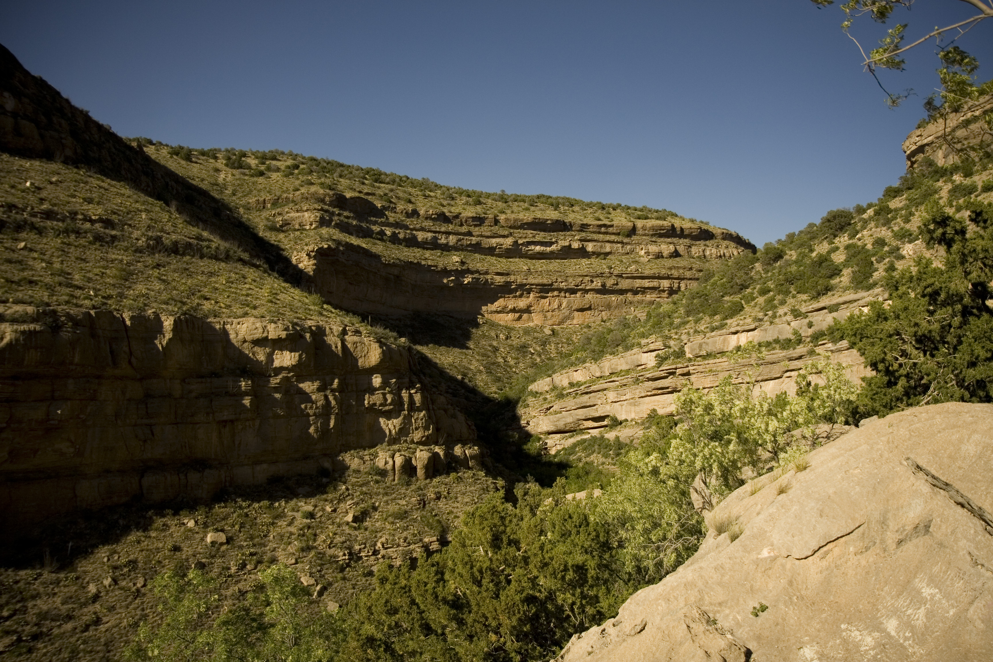
Fresnal Canyon

Mountain view
hillside canyon view
View of White Sands from the Hwy 82 tunnel, Lincoln National Forest, New Mexico 04
View of White Sands from the Hwy 82 tunnel, Lincoln National Forest, New Mexico
View of White Sands from the Hwy 82 tunnel, Lincoln National Forest, New Mexico 03
Topographic Map of Kenney Peak, New Mexico, USA
Find elevation by address:

Places near Kenney Peak, New Mexico, USA:
30 Miwok Way
5 Bear Grass Rd
658 Laborcita Canyon Rd
32 Bear Grass Rd
Burro Flats Road
15 La Luz Canyon Rd
Old Apple Barn
High Rolls
High Rolls
High Rolls
High Rolls
High Rolls
High Rolls
High Rolls
High Rolls
High Rolls
High Rolls
16 Old Ranger Rd
20 Cherry Blossom Way
3 Haynes Canyon Rd, High Rolls, NM, USA
Recent Searches:
- Elevation of Corso Fratelli Cairoli, 35, Macerata MC, Italy
- Elevation of Tallevast Rd, Sarasota, FL, USA
- Elevation of 4th St E, Sonoma, CA, USA
- Elevation of Black Hollow Rd, Pennsdale, PA, USA
- Elevation of Oakland Ave, Williamsport, PA, USA
- Elevation of Pedrógão Grande, Portugal
- Elevation of Klee Dr, Martinsburg, WV, USA
- Elevation of Via Roma, Pieranica CR, Italy
- Elevation of Tavkvetili Mountain, Georgia
- Elevation of Hartfords Bluff Cir, Mt Pleasant, SC, USA