Elevation of Kendell-Town Rd, Ferguson, NC, USA
Location: United States > North Carolina > Caldwell County > Yadkin Valley > Yadkin Valley >
Longitude: -81.450952
Latitude: 36.072524
Elevation: 402m / 1319feet
Barometric Pressure: 97KPa
Elevation Map:
Satellite Map:
Related Photos:
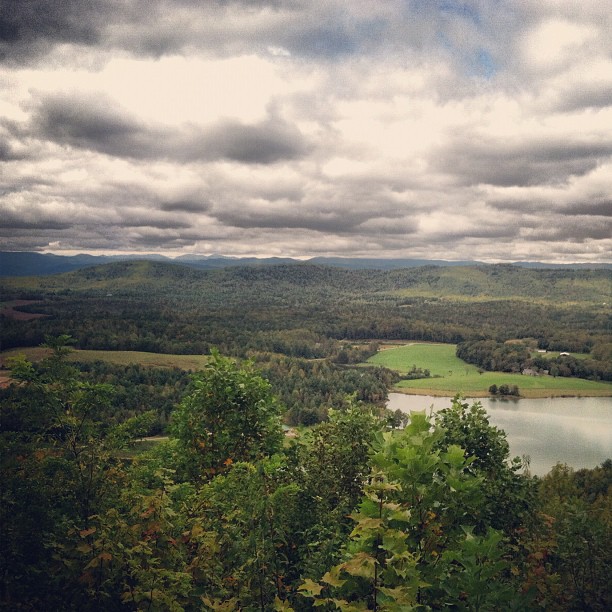
view after a 20 minute up hill hike.
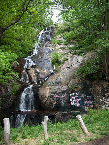
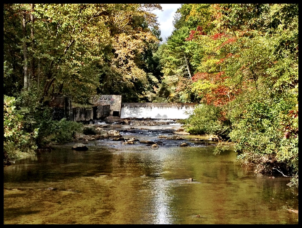
Waterfall Road waterfall - Part 2
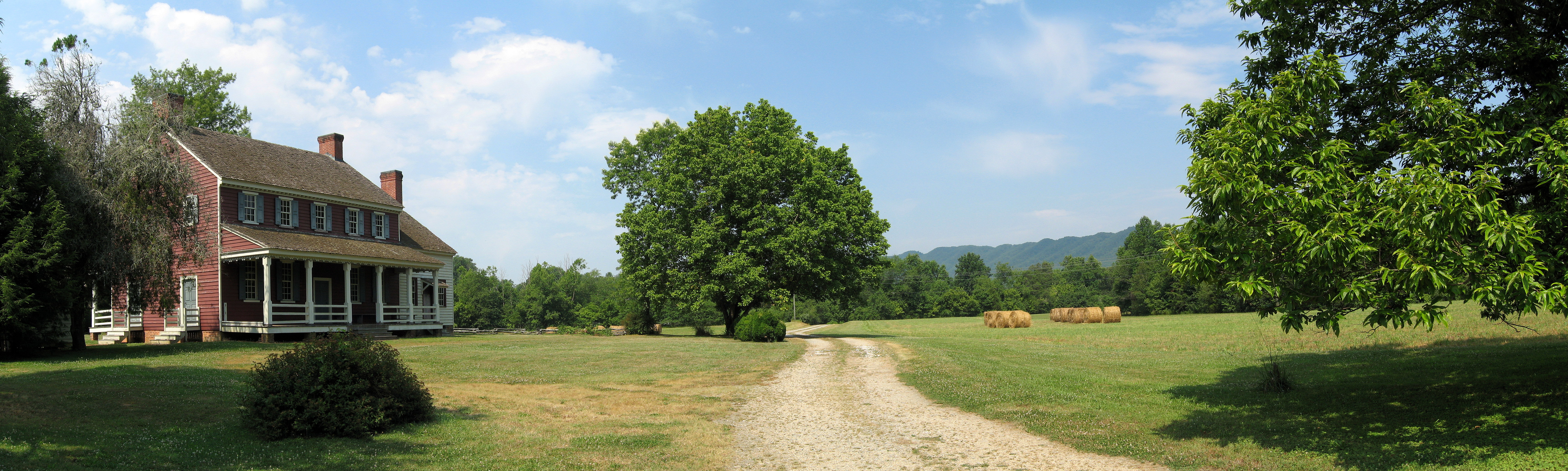
Fort Defiance

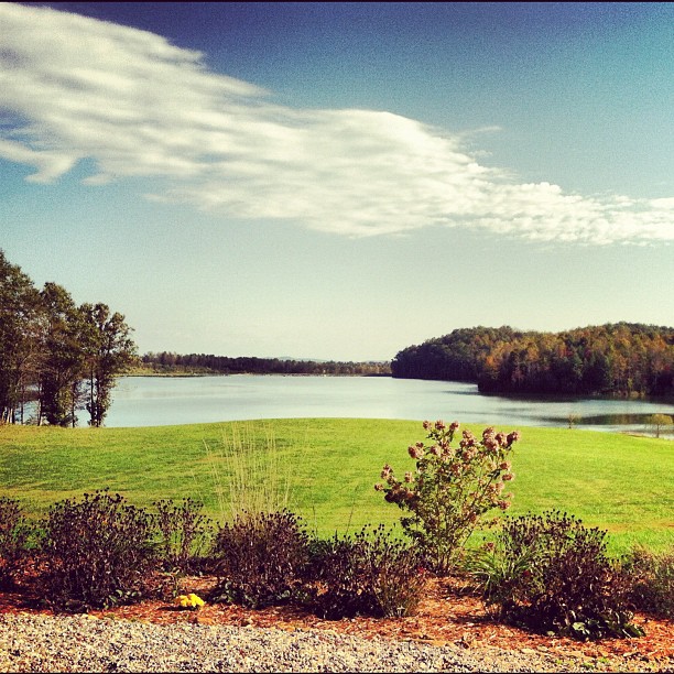
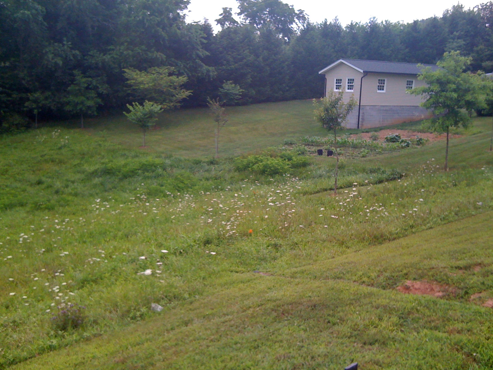
Mountain Meadow
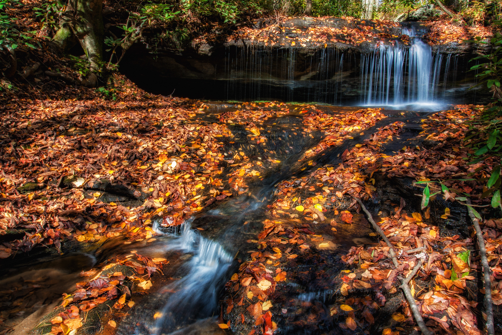
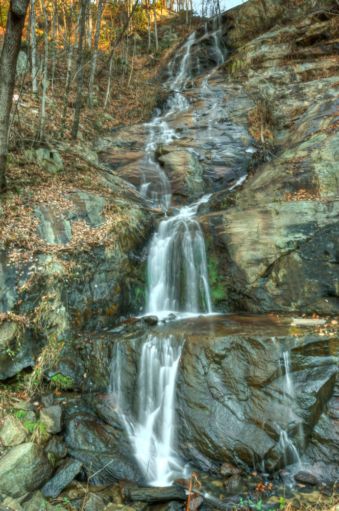
Green Branch Waterfall
warmer weather is always welcome!!!
Watch Your Step! 262/365
Crystal Falls
Silvervale Falls
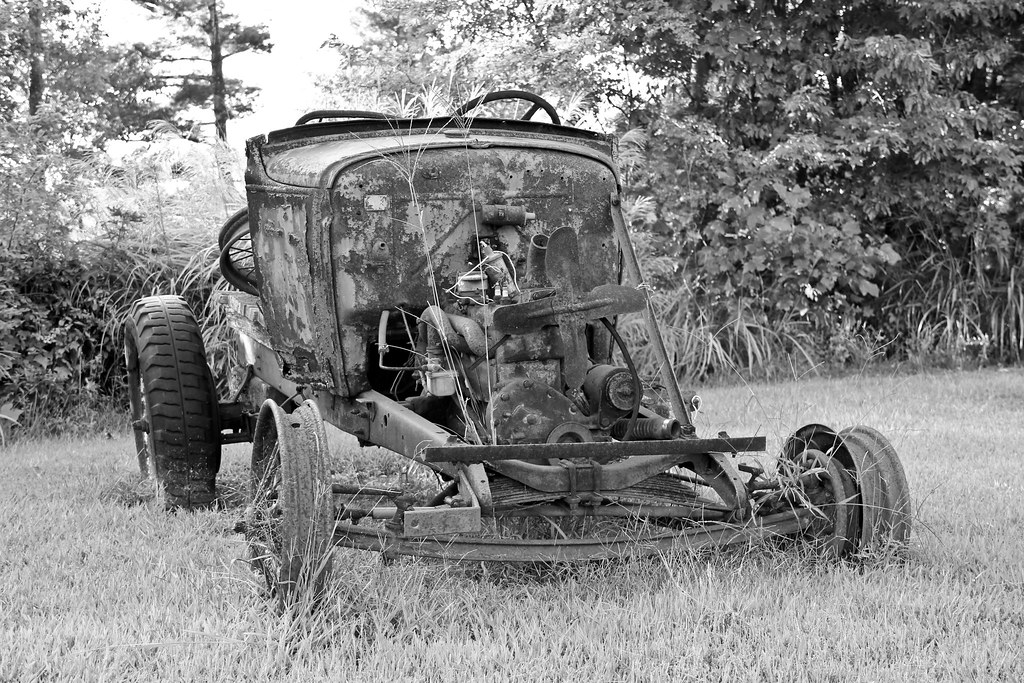
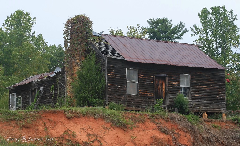
Wasting away...
US Hwy 421 & Churchview Dr, , NC , United States
Topographic Map of Kendell-Town Rd, Ferguson, NC, USA
Find elevation by address:

Places near Kendell-Town Rd, Ferguson, NC, USA:
6891 Elk Mountain Ln
6891 Elk Mountain Ln
3264 Nc-268
3264 Nc-268
2725 Winkler Way Rd
3551 Elk Creek Darby Rd
Elk Creek Darby Road
Elk Creek Darby Road
Elk Creek Darby Road
Elk Creek Darby Road
296 Grannys Ln
Taylor Farm Rd, Lenoir, NC, USA
5742 Elk Creek Darby Rd
Leatherwood Mountains Cabin Rentals
137 Granny's Ridge Rd
Eagle's Nest
240 Fox Den Rd
155 Buckaroo Rd
Ferguson, NC, USA
1193 W Ridge Dr
Recent Searches:
- Elevation of Woolwine, VA, USA
- Elevation of Lumagwas Diversified Farmers Multi-Purpose Cooperative, Lumagwas, Adtuyon, RV32+MH7, Pangantucan, Bukidnon, Philippines
- Elevation of Homestead Ridge, New Braunfels, TX, USA
- Elevation of Orchard Road, Orchard Rd, Marlborough, NY, USA
- Elevation of 12 Hutchinson Woods Dr, Fletcher, NC, USA
- Elevation of Holloway Ave, San Francisco, CA, USA
- Elevation of Norfolk, NY, USA
- Elevation of - San Marcos Pass Rd, Santa Barbara, CA, USA
- Elevation of th Pl SE, Issaquah, WA, USA
- Elevation of 82- D Rd, Captain Cook, HI, USA