Elevation of Kendal Police Station, Jamaica
Location: Jamaica > Manchester Parish >
Longitude: -77.486636
Latitude: 18.0856282
Elevation: 424m / 1391feet
Barometric Pressure: 96KPa
Elevation Map:
Satellite Map:
Related Photos:

IMG_1010

IMG_0963

IMG_1011

IMG_0968

IMG_0840

IMG_0914

IMG_0815

IMG_0940
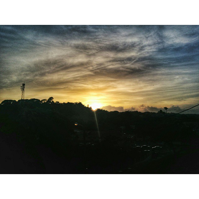
Le sunset in Mandeville #nature #sunset #beauty #timetogohome
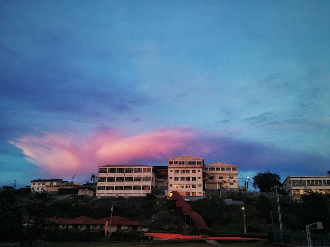
Time for some Sabbath afternoon sky porn #skyporn #scenery #clouds #evening #nature #landscape #beauty #hdr #Nexus5Photo #Jamaica #sky
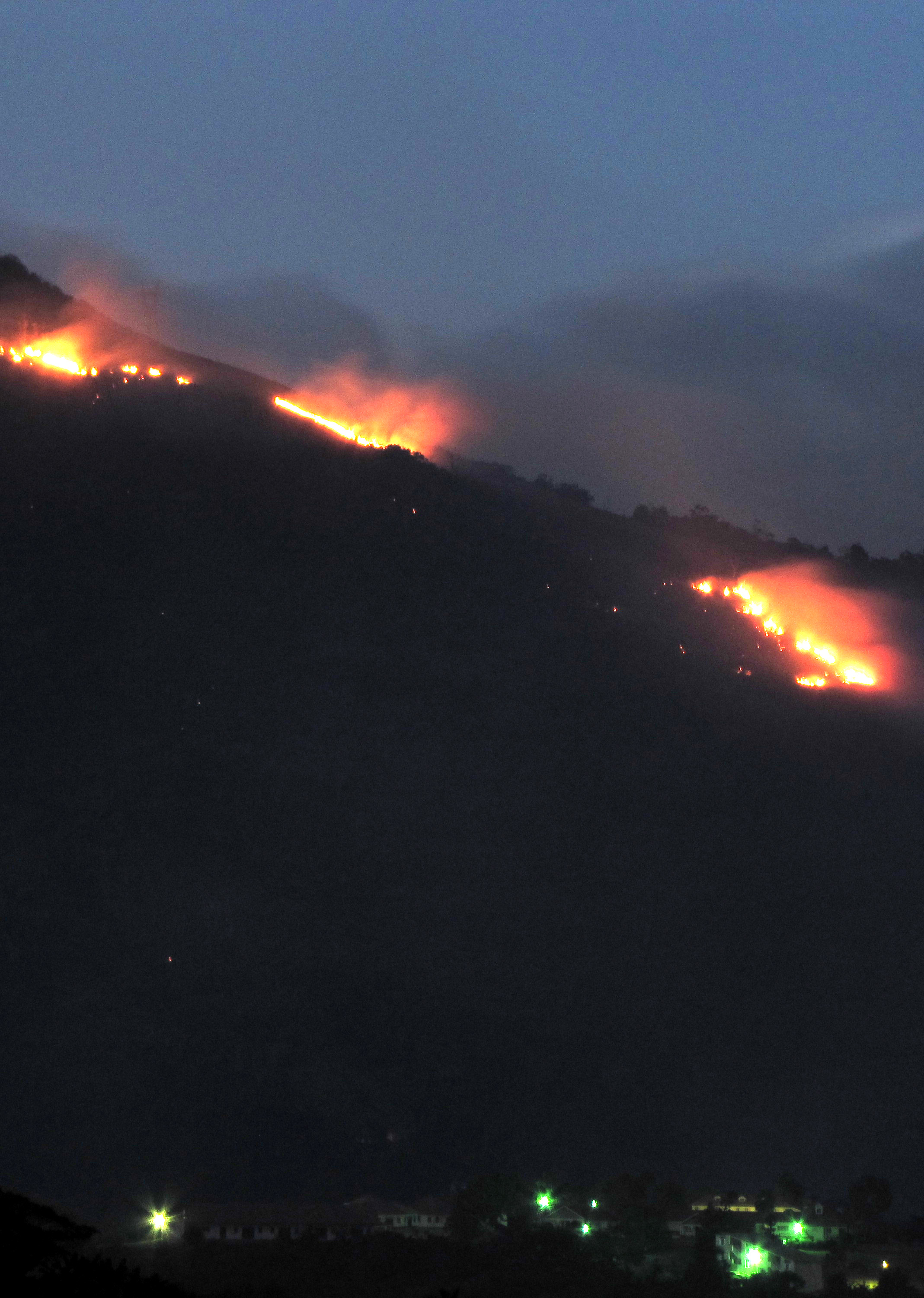
Shooters Fire
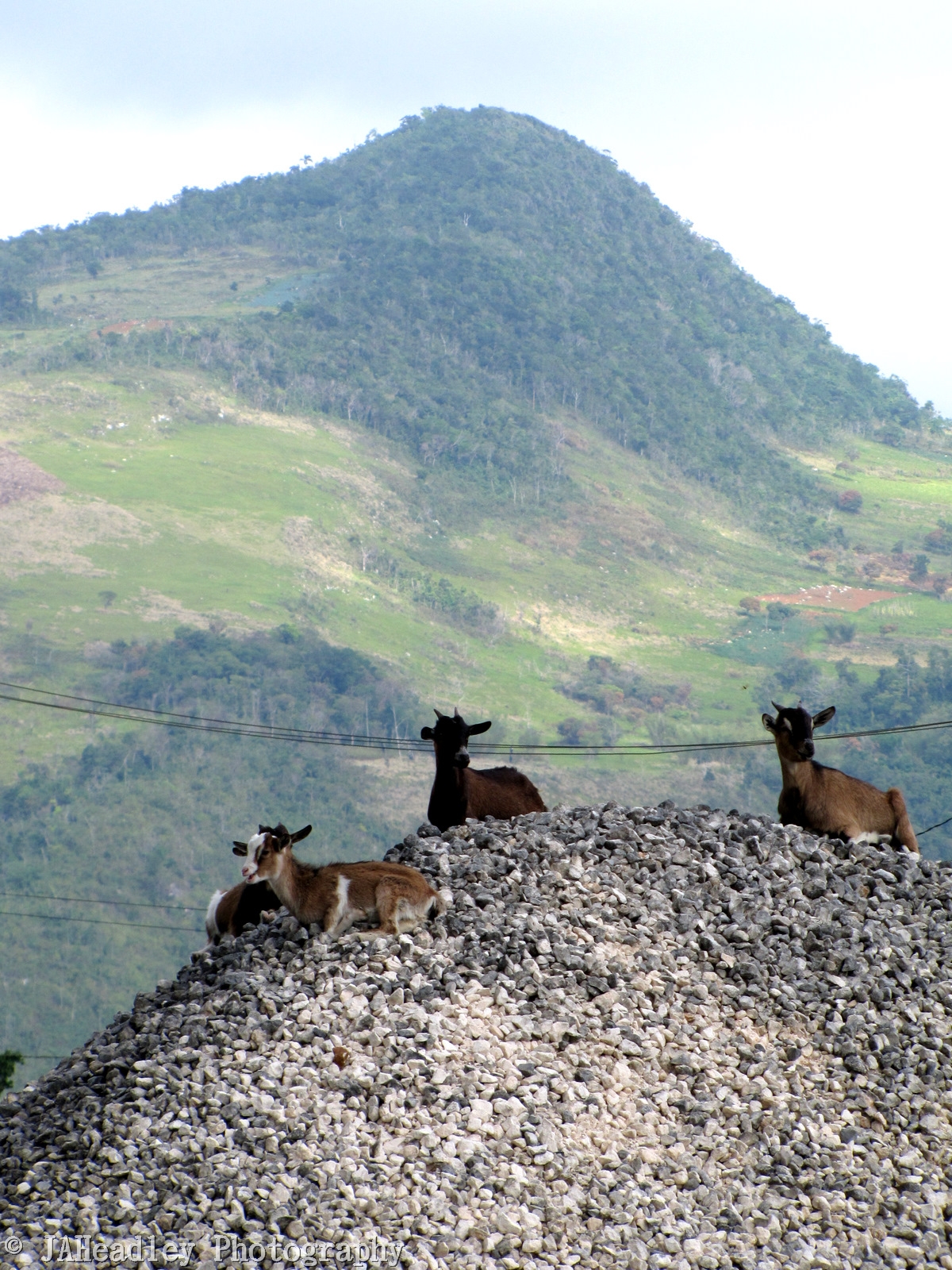
Hill Goats 2
Topographic Map of Kendal Police Station, Jamaica
Find elevation by address:

Places near Kendal Police Station, Jamaica:
Royal Flat
Battersea Road
Manchester Parish
Heartease
Mandeville
Waltham Road & Rockton Drive
Waltham Road & Rockton Drive
Spalding
Christiana
Porus
Devon
Knockpatrick
Maidstone Branch Library
Moorlands Camps
Total Spur Tree
Spur Tree
Adam's Valley Farm
Coleyville Seventh-day Adventist Church
Frankfield
Lorrimers
Recent Searches:
- Elevation of Unnamed Road, Respublika Severnaya Osetiya — Alaniya, Russia
- Elevation of Verkhny Fiagdon, North Ossetia–Alania Republic, Russia
- Elevation of F. Viola Hiway, San Rafael, Bulacan, Philippines
- Elevation of Herbage Dr, Gulfport, MS, USA
- Elevation of Lilac Cir, Haldimand, ON N3W 2G9, Canada
- Elevation of Harrod Branch Road, Harrod Branch Rd, Kentucky, USA
- Elevation of Wyndham Grand Barbados Sam Lords Castle All Inclusive Resort, End of Belair Road, Long Bay, Bridgetown Barbados
- Elevation of Iga Trl, Maggie Valley, NC, USA
- Elevation of N Co Rd 31D, Loveland, CO, USA
- Elevation of Lindever Ln, Palmetto, FL, USA