Elevation of Kelly Butte, Washington, USA
Location: United States > Washington > Pierce County > Enumclaw >
Longitude: -121.49037
Latitude: 47.1692776
Elevation: 1649m / 5410feet
Barometric Pressure: 83KPa
Elevation Map:
Satellite Map:
Related Photos:
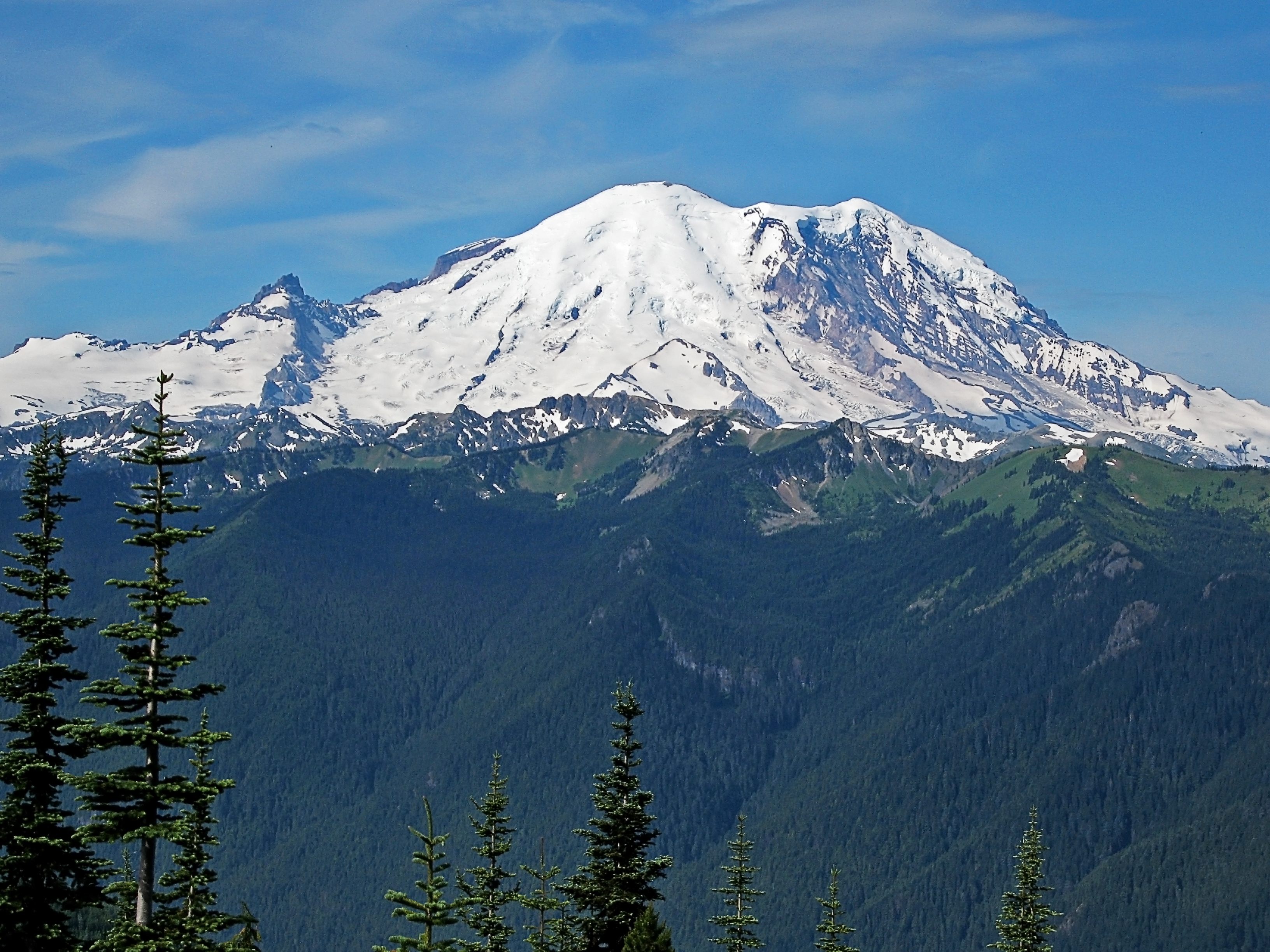
Mount Rainier
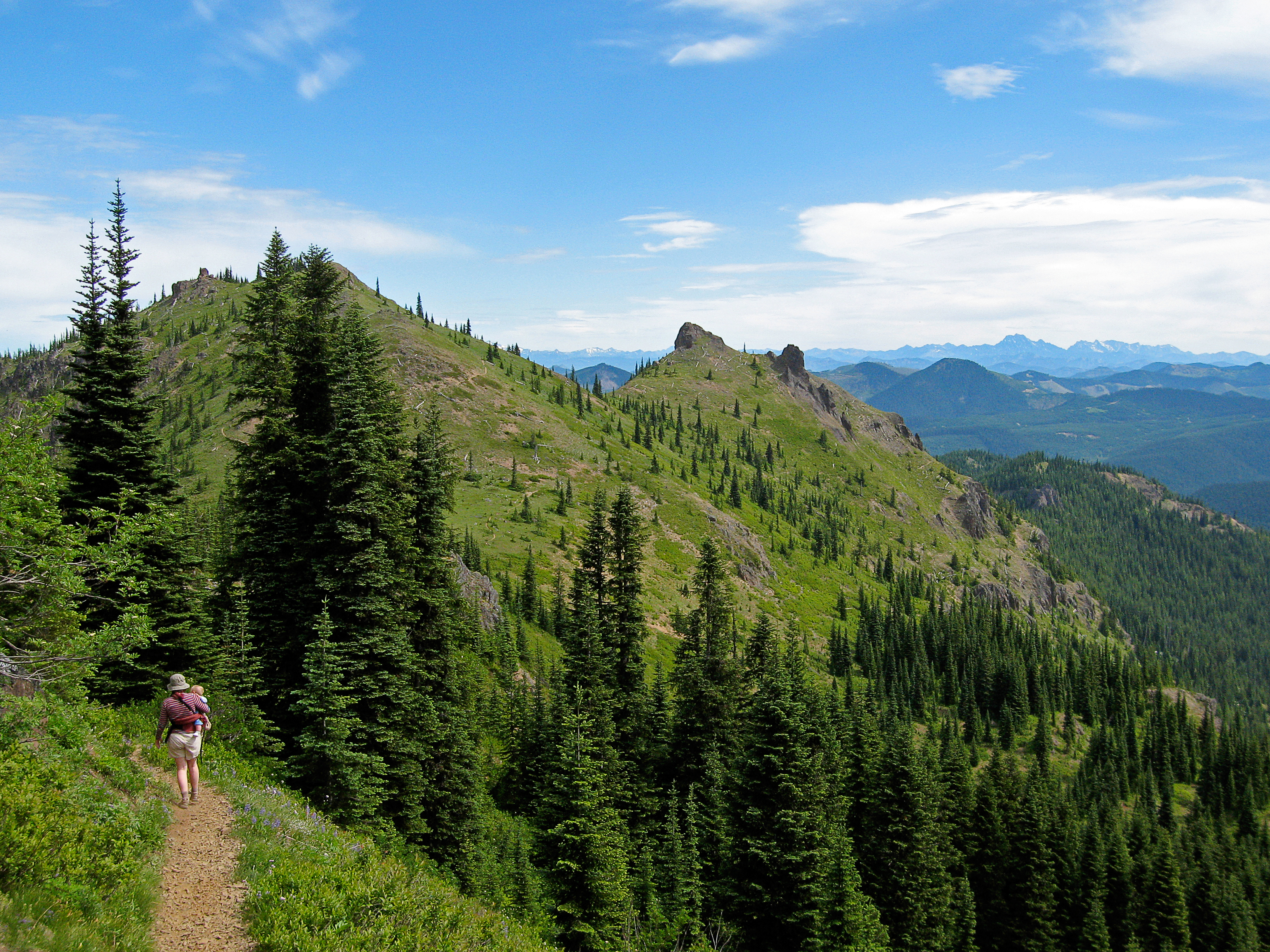
View north from the trail
Noble Knob in view
Mutton Mountain
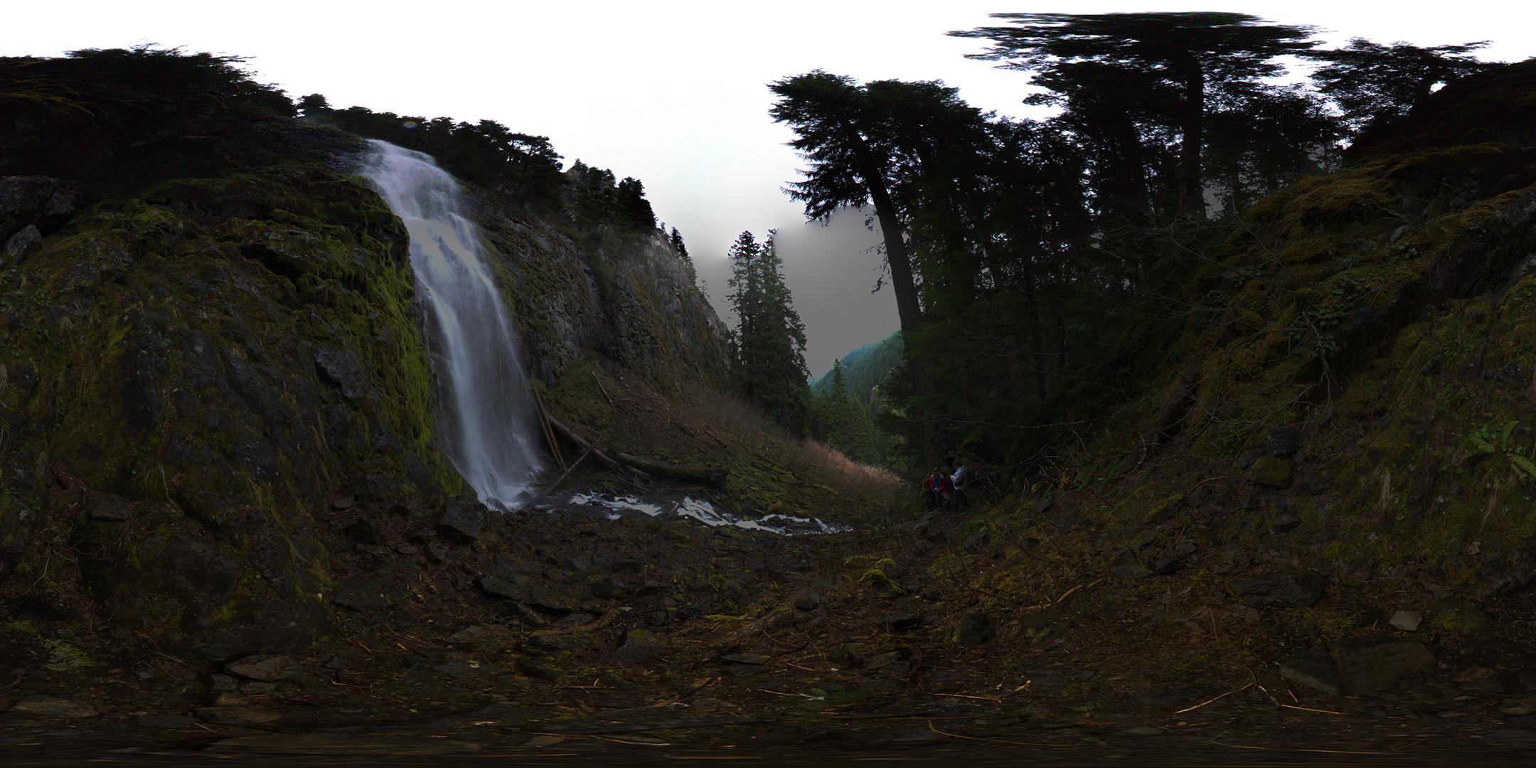
Skookum Falls
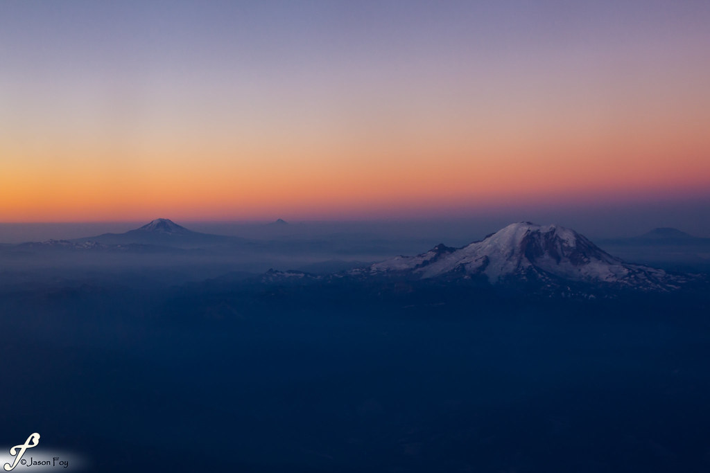
Cascade Sunrise
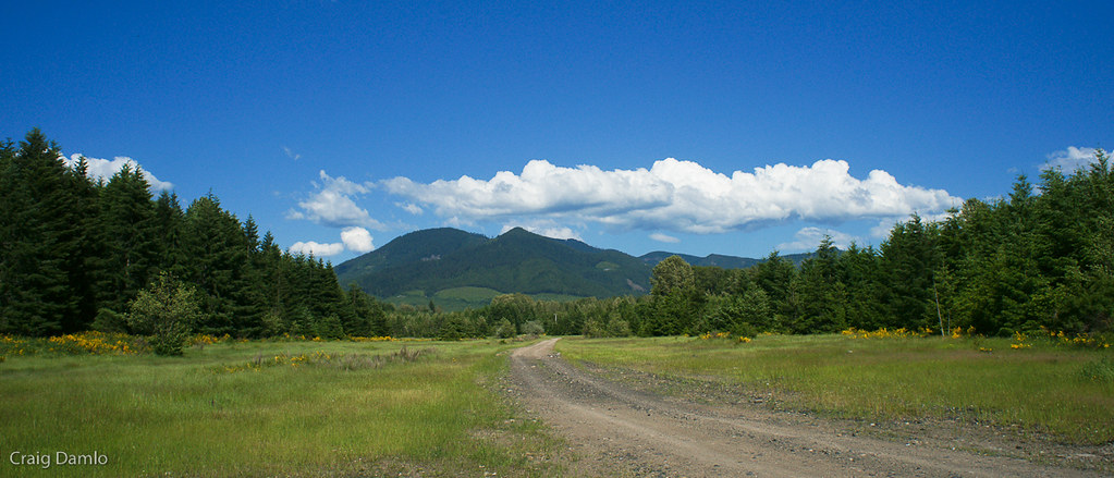
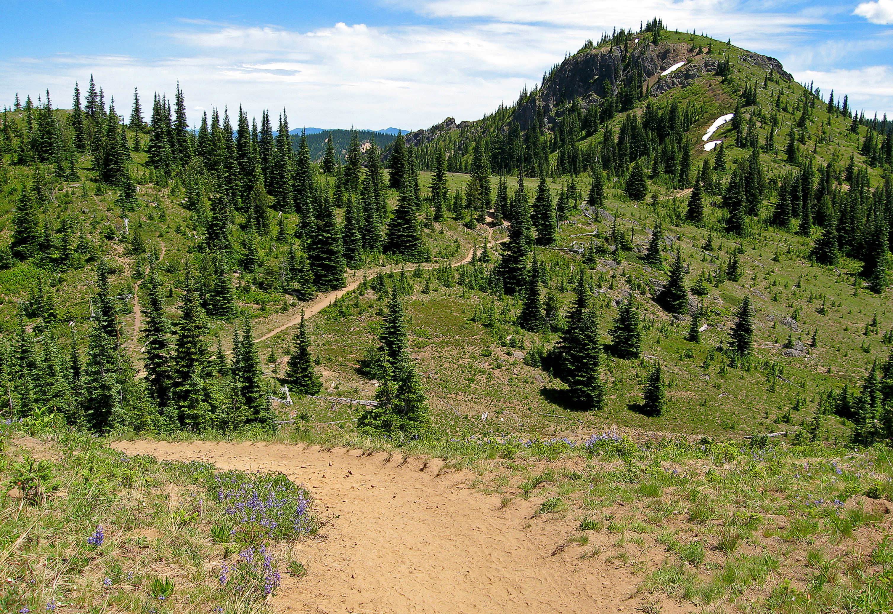
The Scenic Route
View of Mt. Stuart

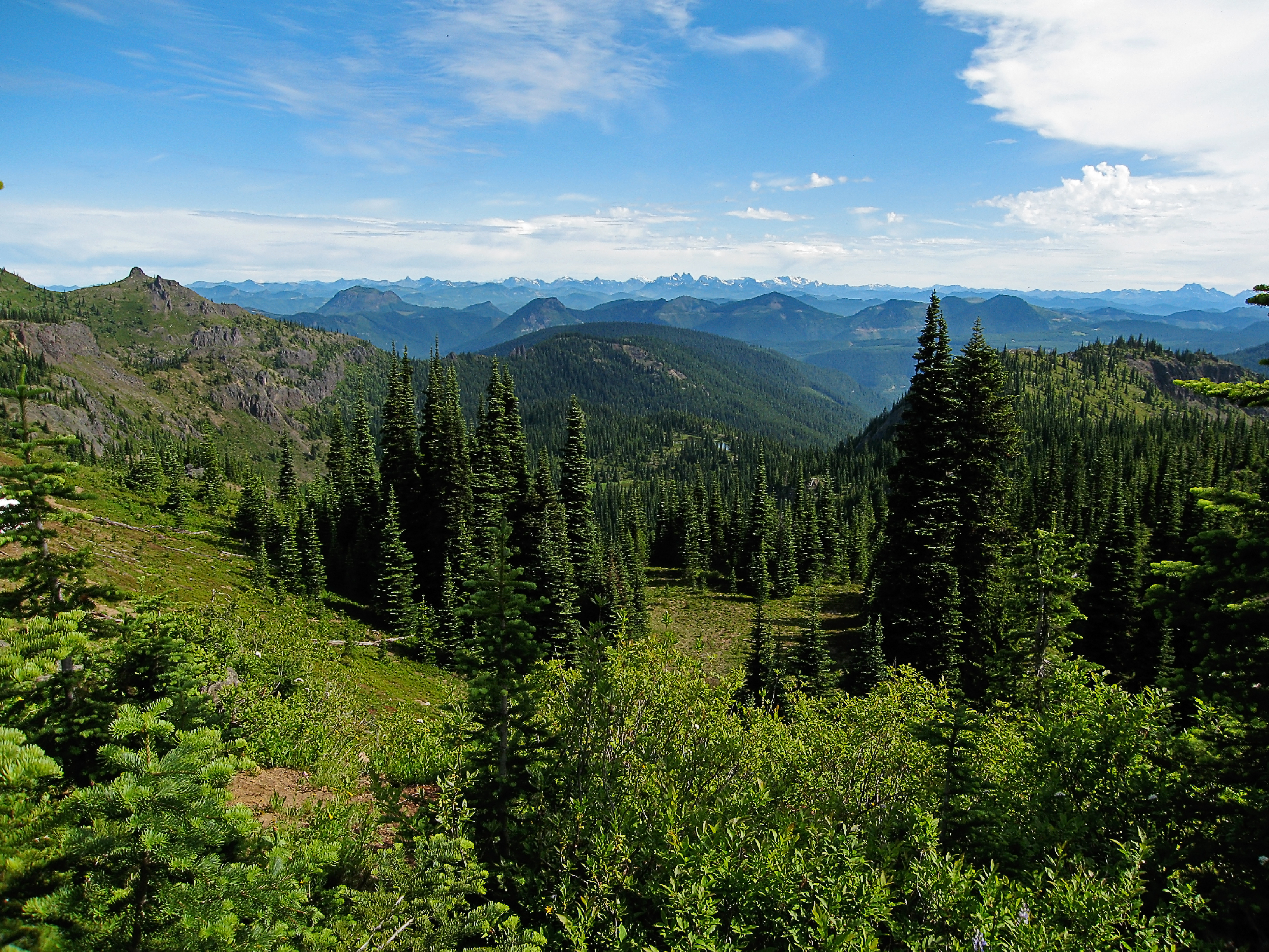
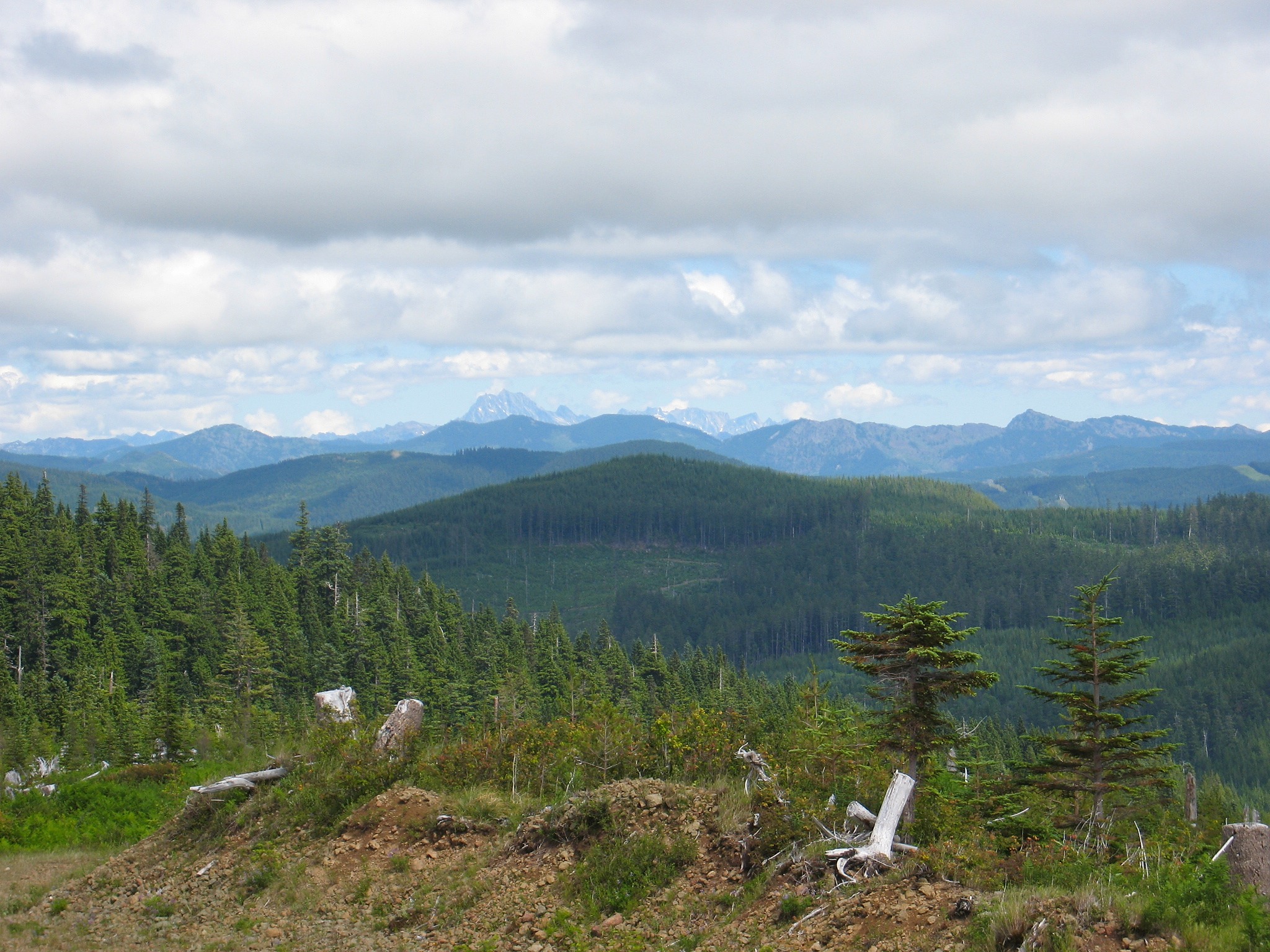
View looking towards the Cascades
Topographic Map of Kelly Butte, Washington, USA
Find elevation by address:

Places near Kelly Butte, Washington, USA:
Enumclaw, WA, USA
WA-, Enumclaw, WA, USA
Greenwater
Castle Mountain
Stampede Pass
Lost Lake
Cougar Valley
Washington 410
Raven Roost
Norse Peak
Bandera
Granite Mountain Trailhead
Tinkham Road
Crystal Mountain Resort
33914 Crystal Mountain Blvd
Interstate 90
Snoqualmie Drive
Snoqualmie Pass
Crystal Mountain
Fifes Ridge West
Recent Searches:
- Elevation of Corso Fratelli Cairoli, 35, Macerata MC, Italy
- Elevation of Tallevast Rd, Sarasota, FL, USA
- Elevation of 4th St E, Sonoma, CA, USA
- Elevation of Black Hollow Rd, Pennsdale, PA, USA
- Elevation of Oakland Ave, Williamsport, PA, USA
- Elevation of Pedrógão Grande, Portugal
- Elevation of Klee Dr, Martinsburg, WV, USA
- Elevation of Via Roma, Pieranica CR, Italy
- Elevation of Tavkvetili Mountain, Georgia
- Elevation of Hartfords Bluff Cir, Mt Pleasant, SC, USA