Elevation of Kelimutu, Woloara, Kelimutu, Ende Regency, East Nusa Tenggara, Indonesia
Location: Indonesia > East Nusa Tenggara >
Longitude: 121.822108
Latitude: -8.7689165
Elevation: 1609m / 5279feet
Barometric Pressure: 83KPa
Elevation Map:
Satellite Map:
Related Photos:

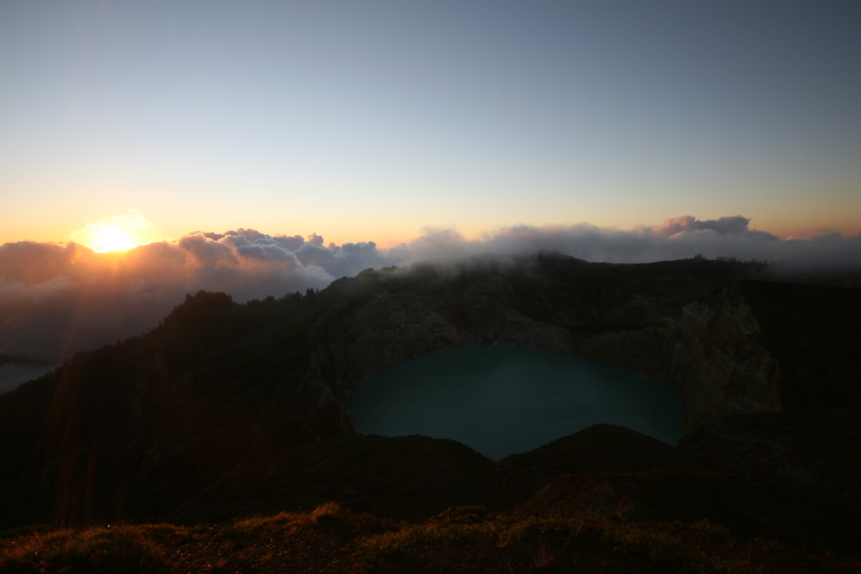
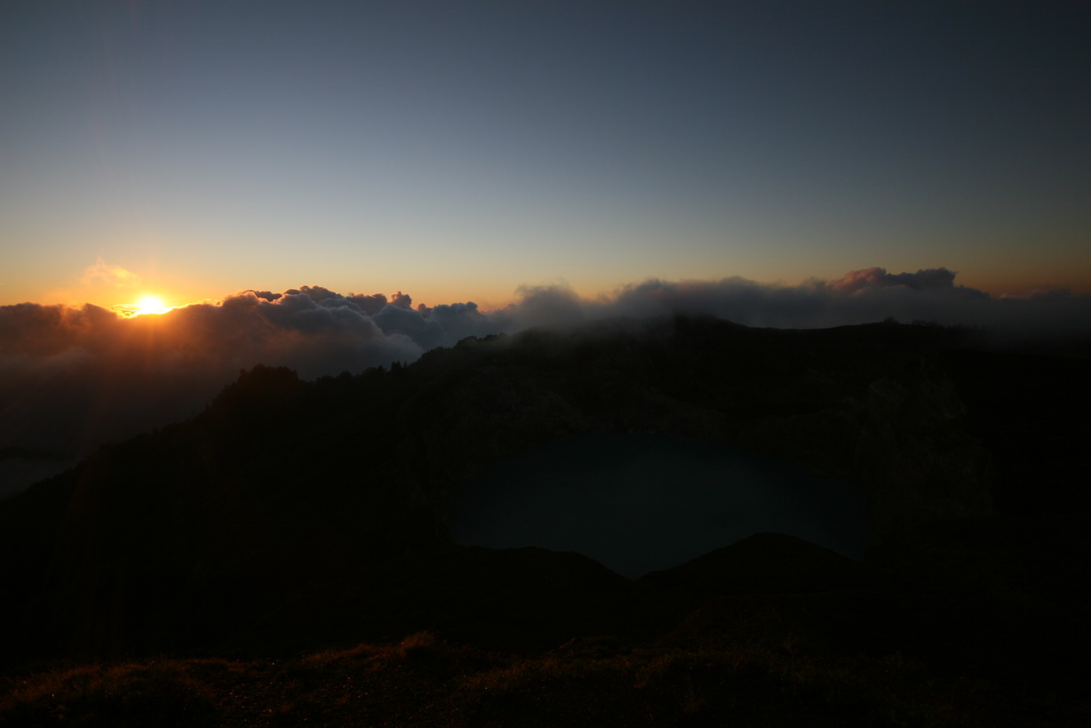
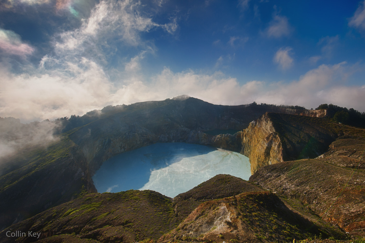
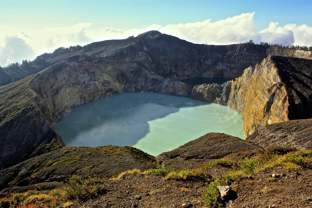
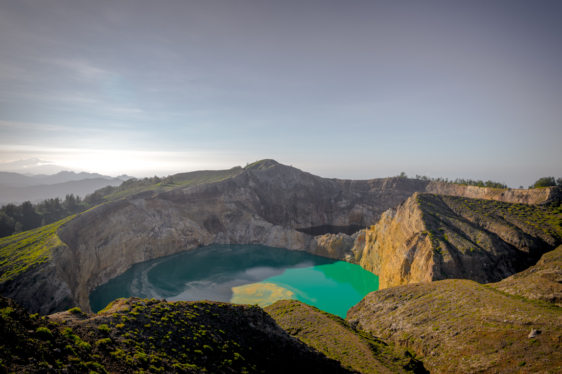
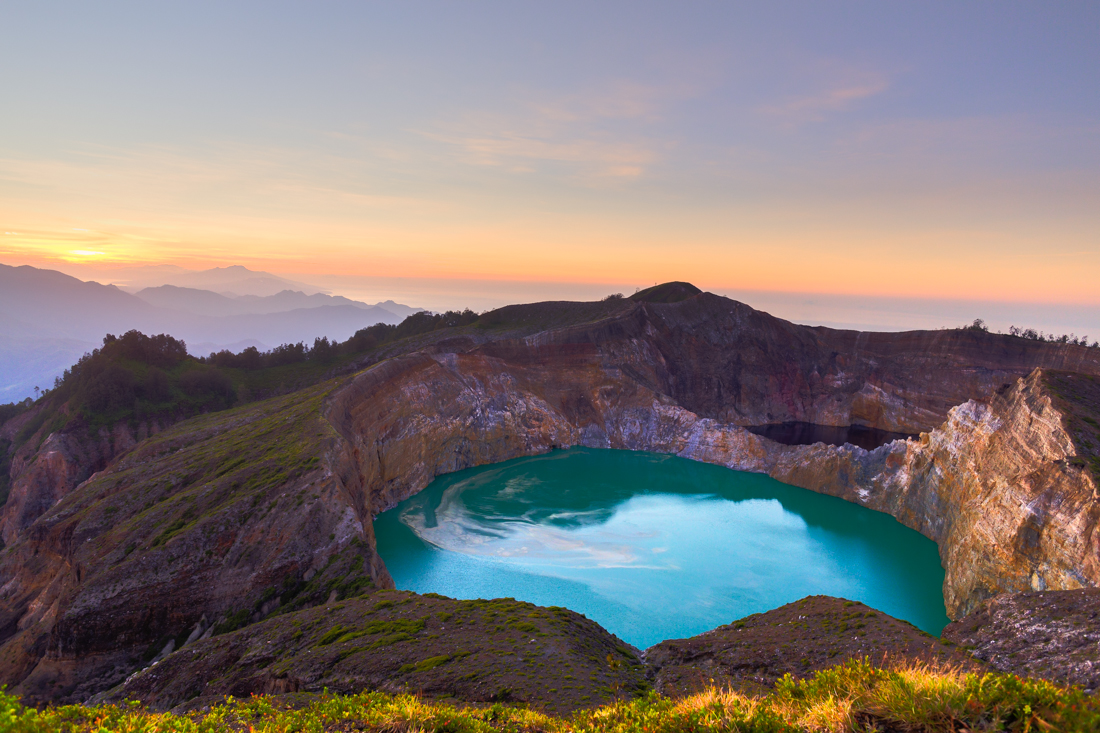
Golden Hour (After Sunrise) HDR - Kelimutu National Park
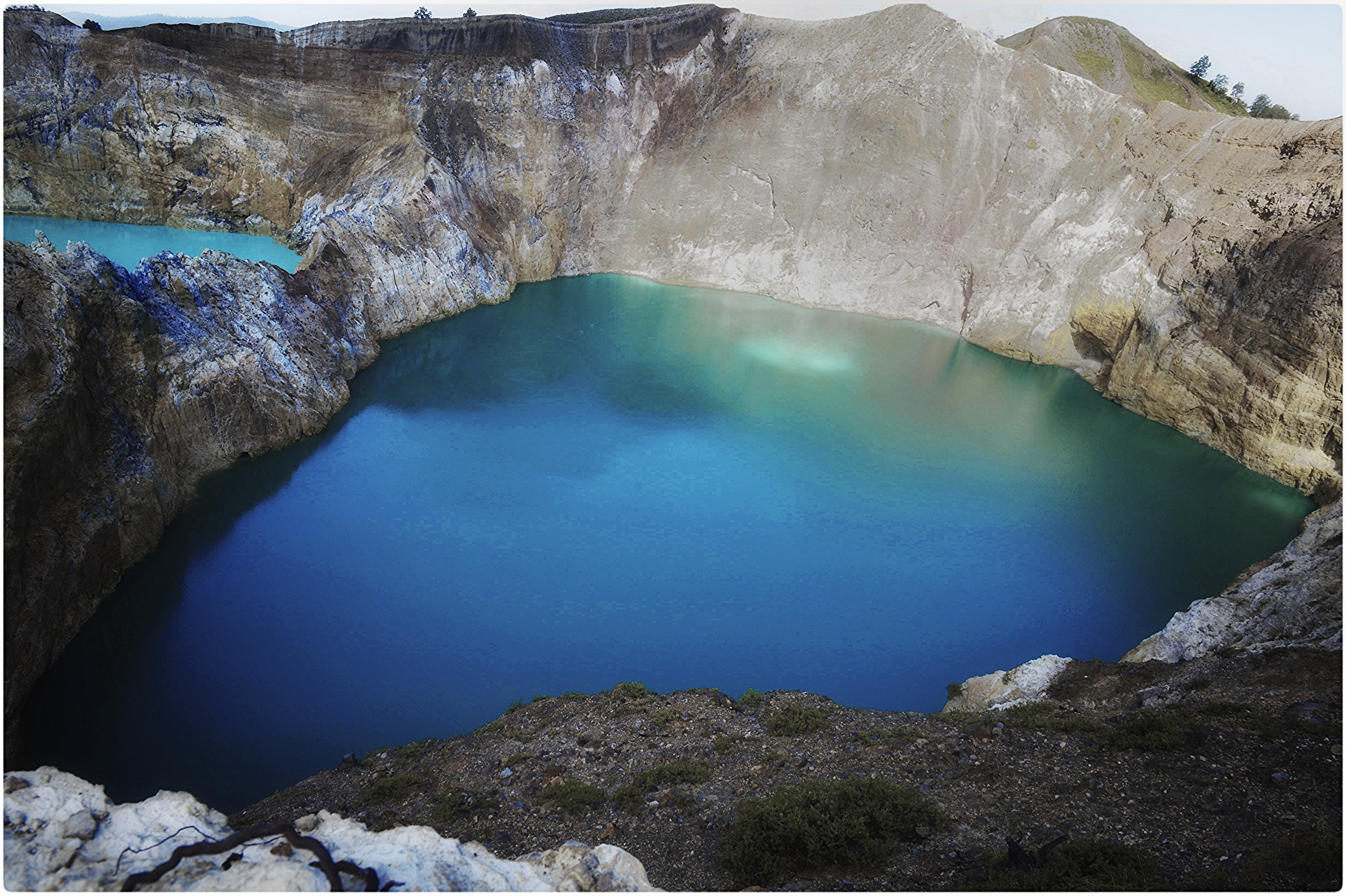
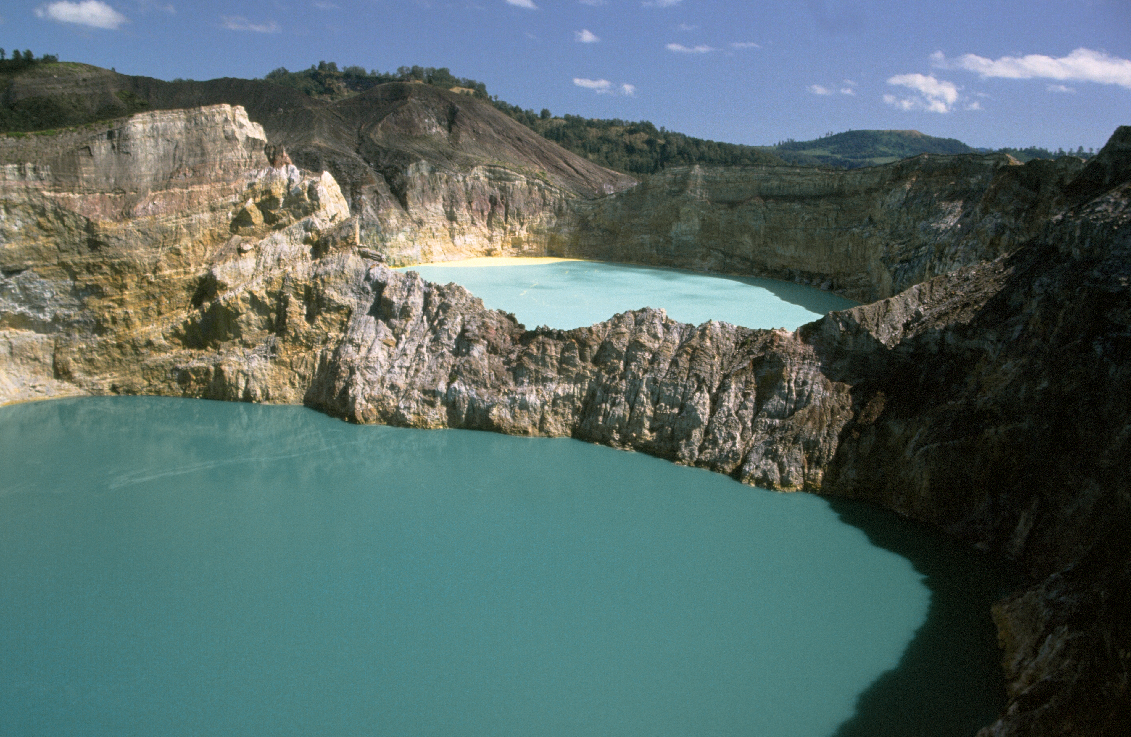
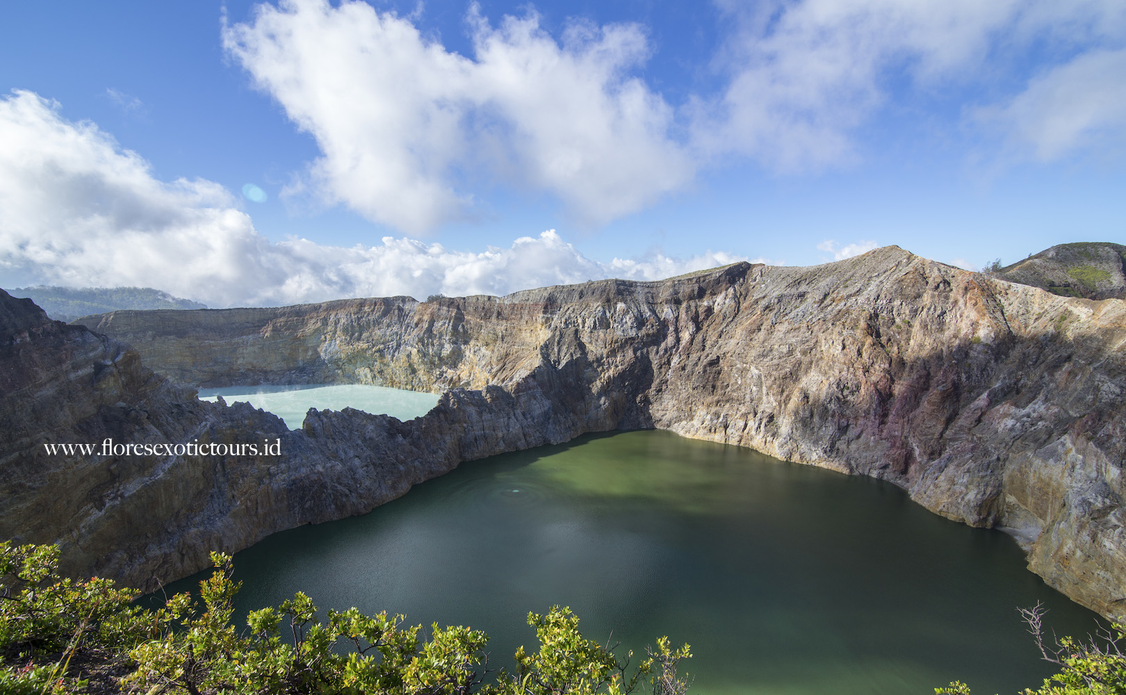
Mount Kelimutu with three coloured crater lakes.
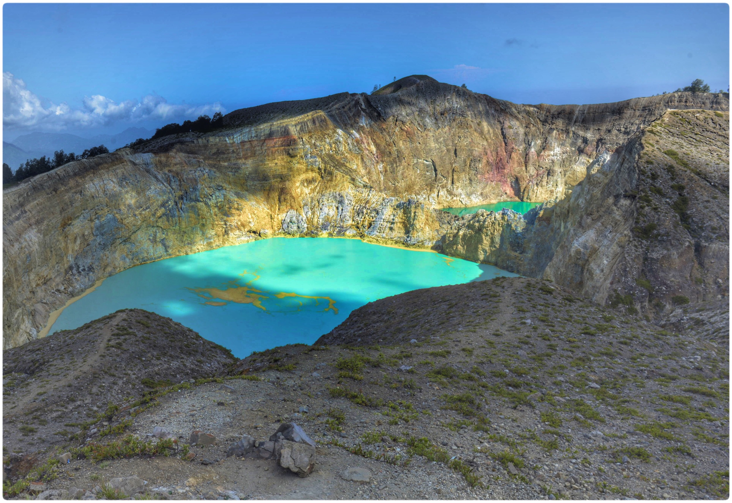
Mount Kelimutu with three coloured crater lakes.
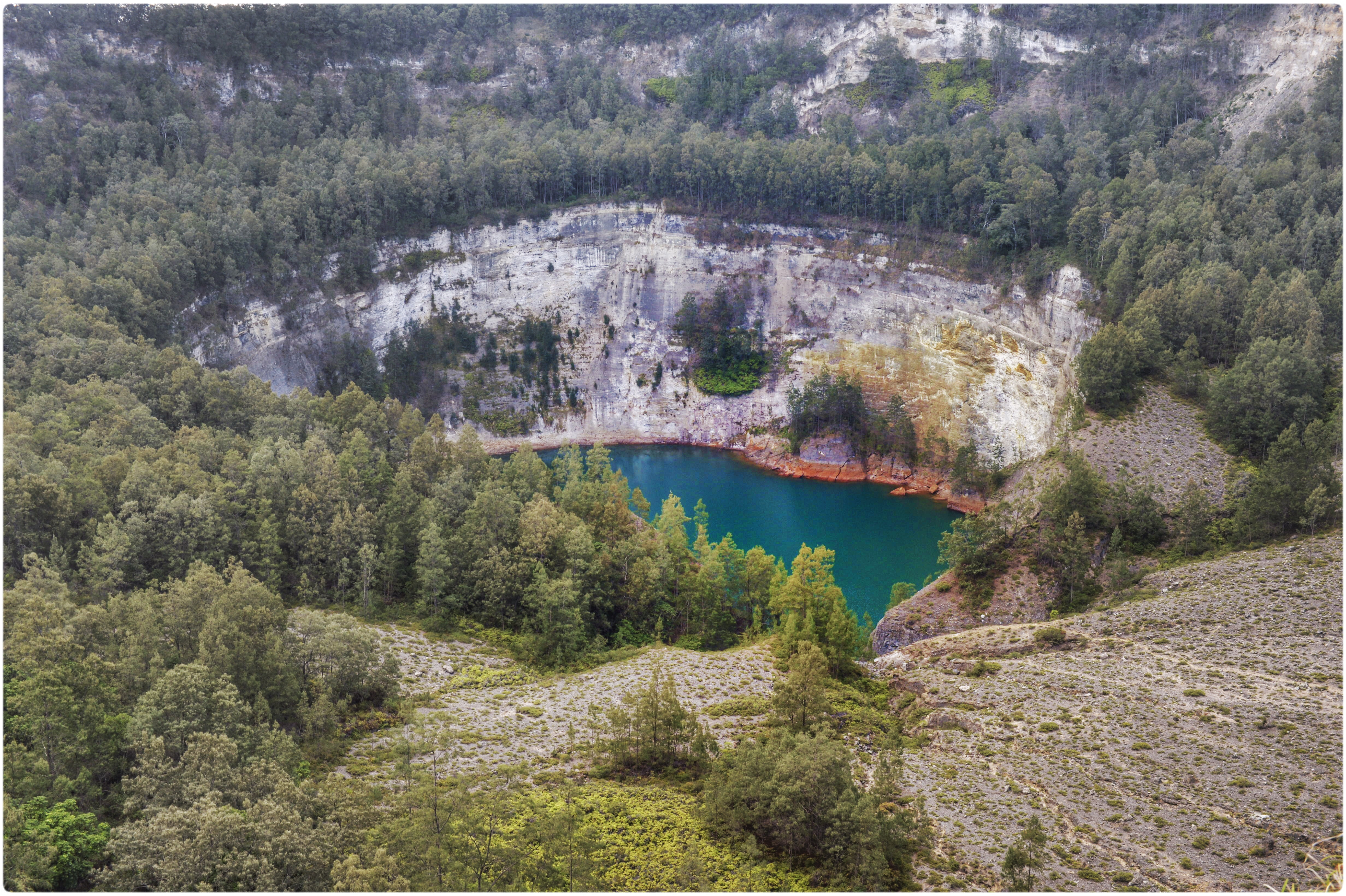
Mount Kelimutu with three coloured crater lakes.
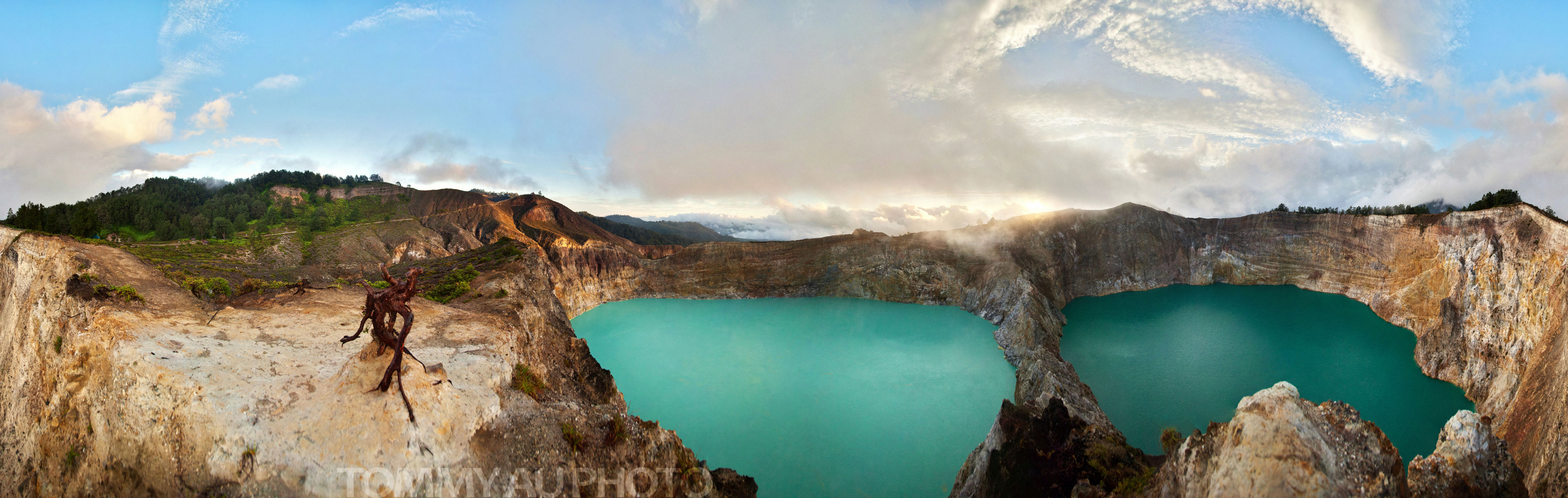
Mount Kelimutu Pano (Interactive)
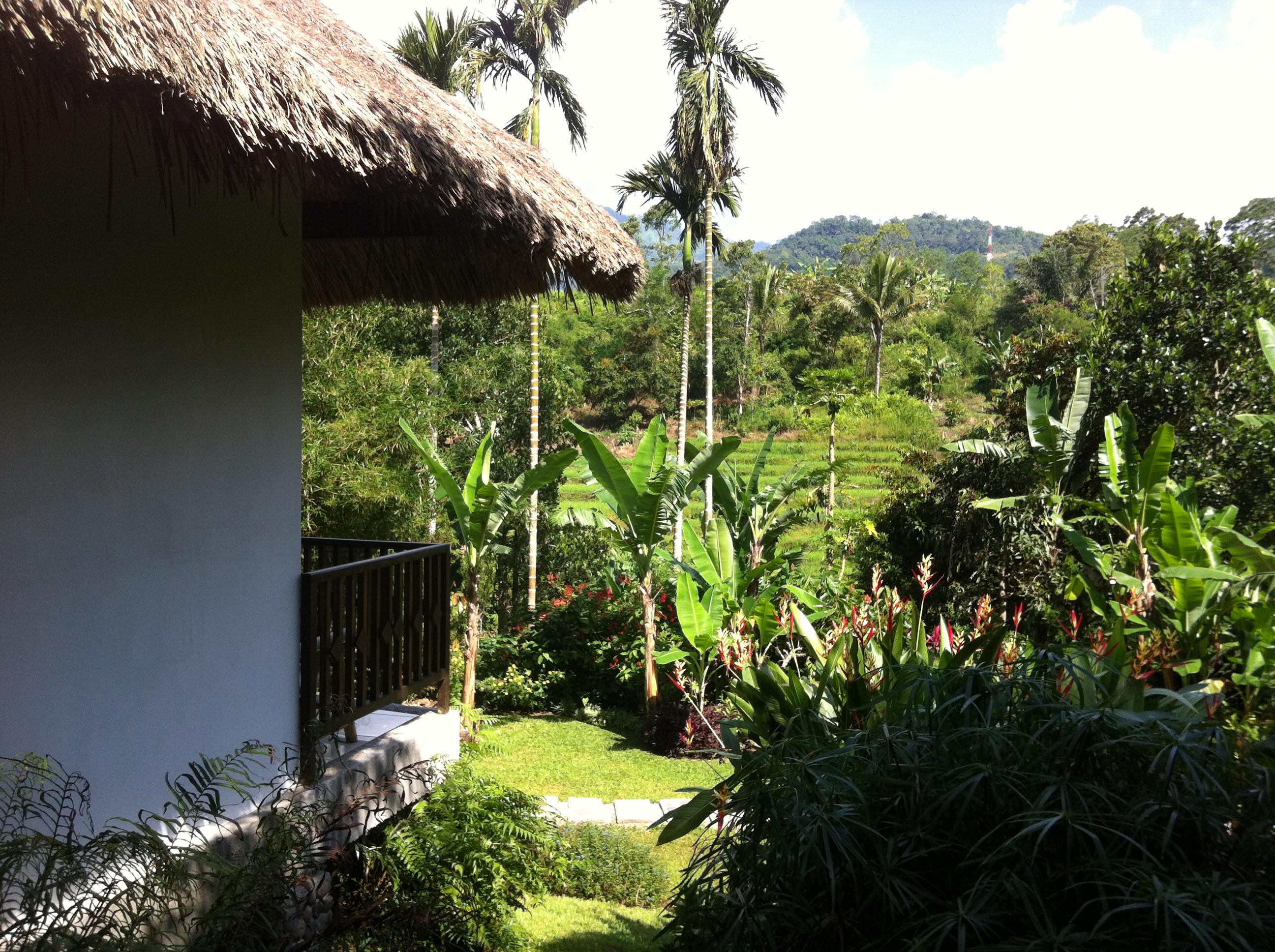
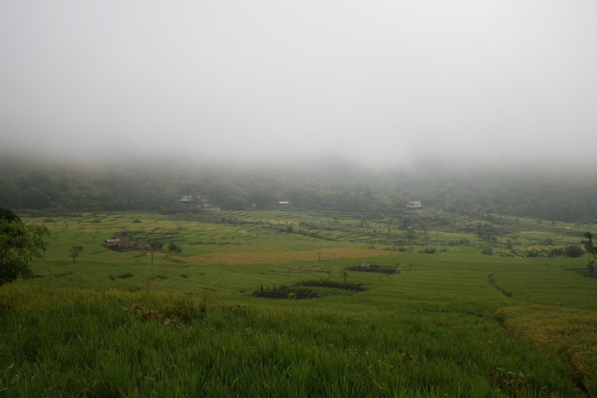
Ricefield views, Moni, Flores, Indonesia
ATW 08
ATW 08
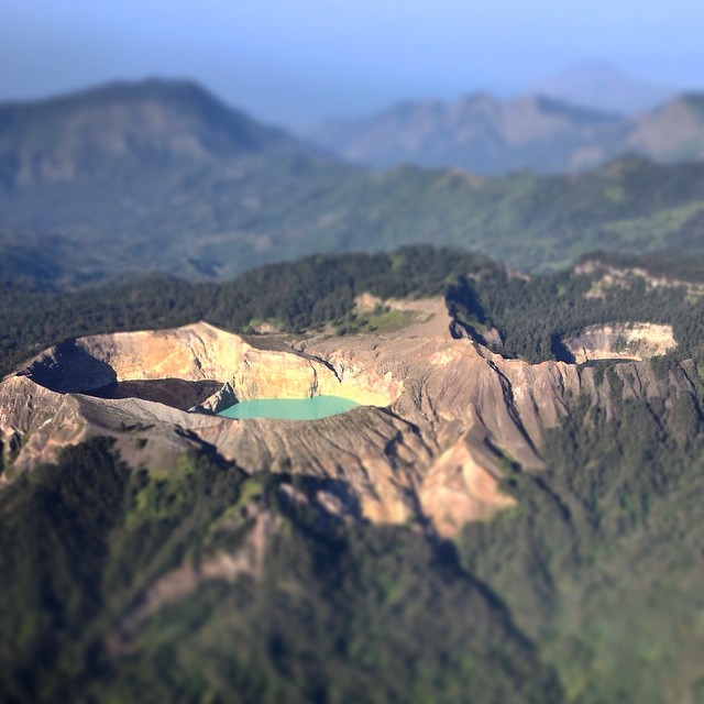
A good view over Kelimutu's three lakes from out flight. A good parting gift!
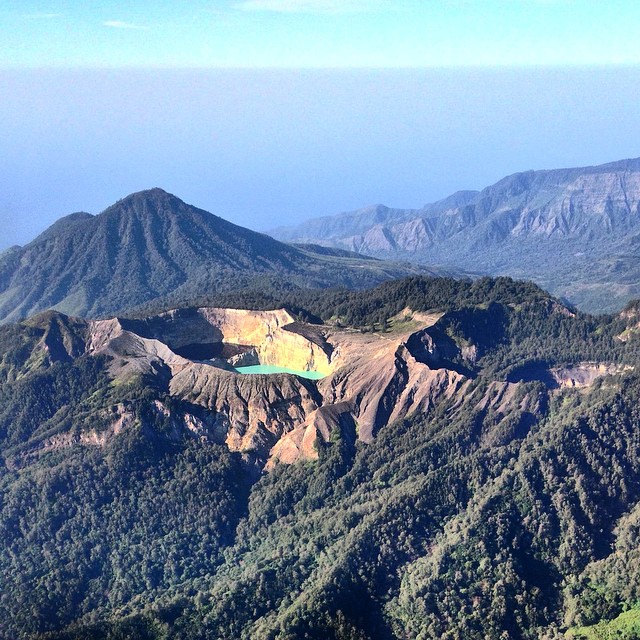
Another view of Mount Kelimutu and its crater lakes, seen from our flight from Maumere to Denpasar
ATW 08
Kelimutu Lake, Ende Flores
ATW 08
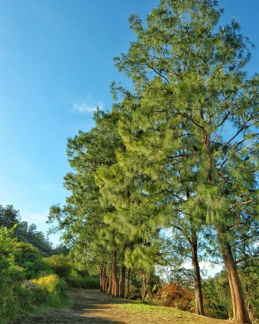
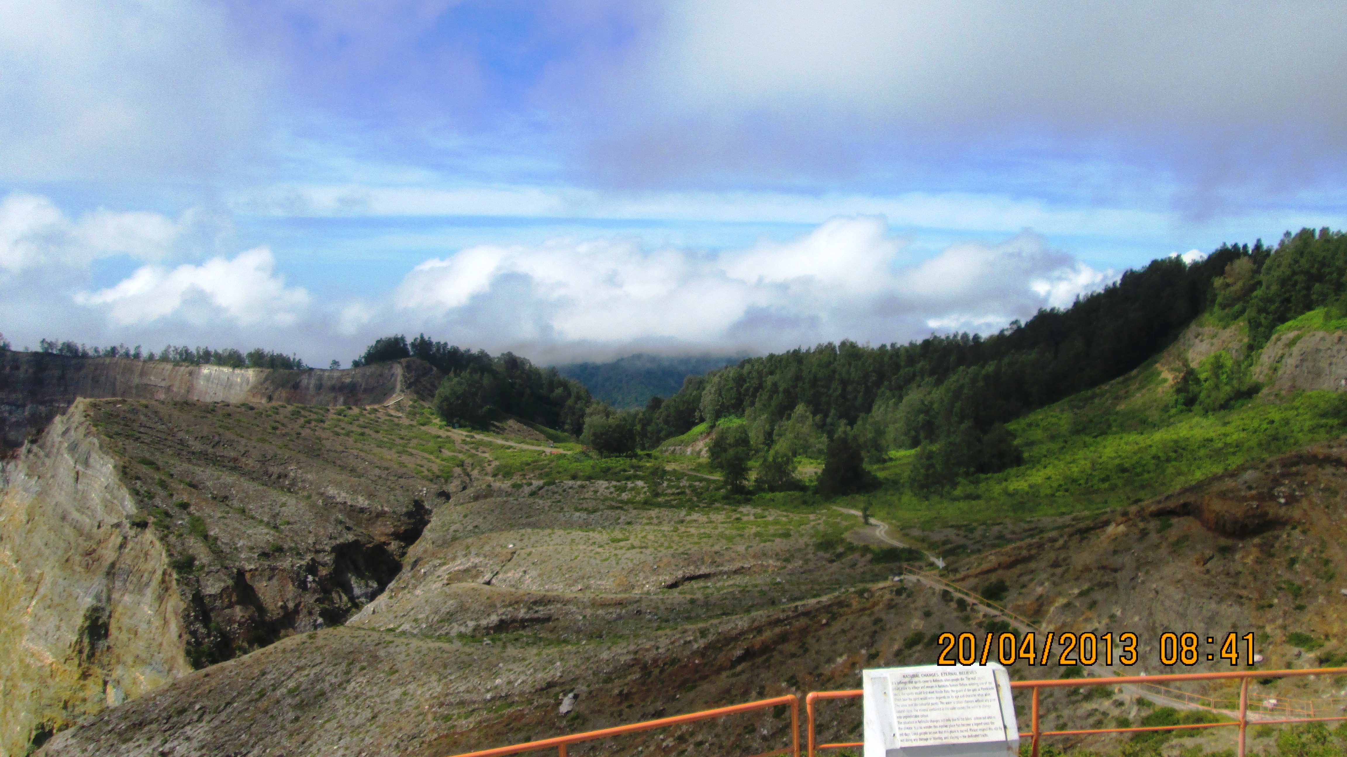
It was a perfect time to take a walk into the forest. Kelimutu National Park is offering you not only a great view of vulcanic crater lakes, but also beautiful and heartwarming greens view. #500greatness #NXTripFlores #Kelimutu #nationalpark #park #fores
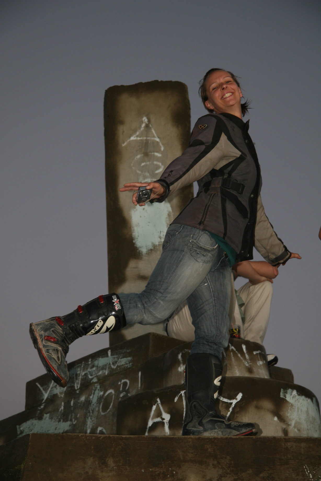
ATW 08
ATW 08

ATW 08

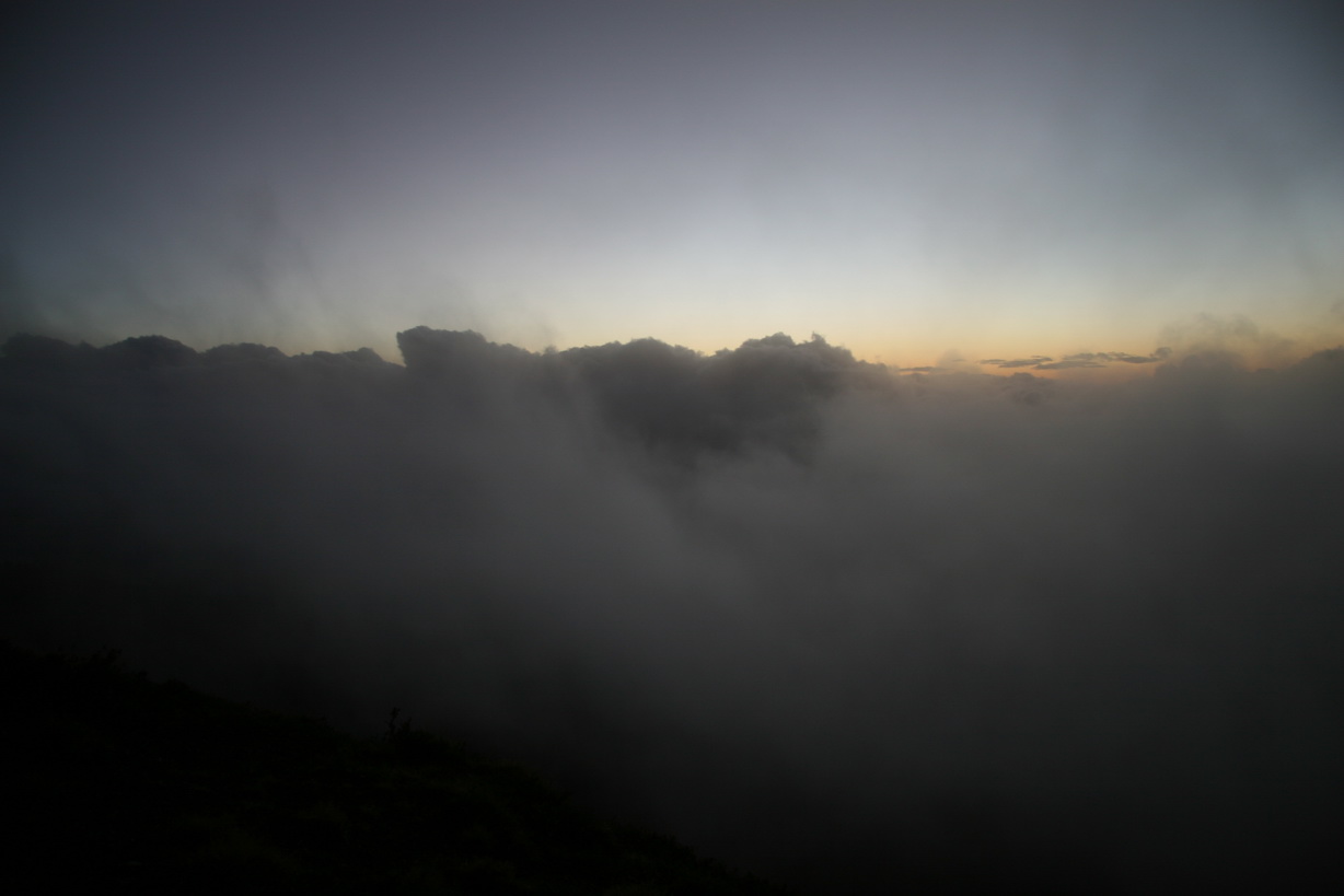
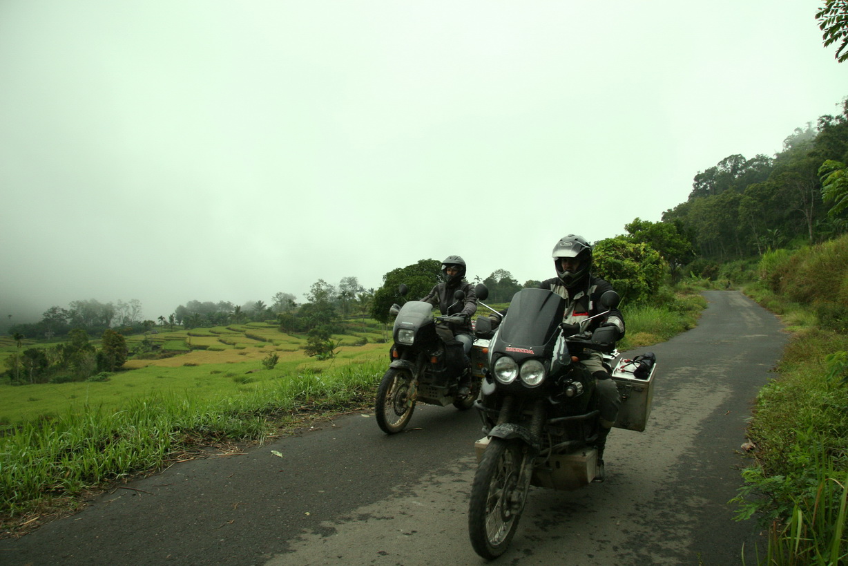
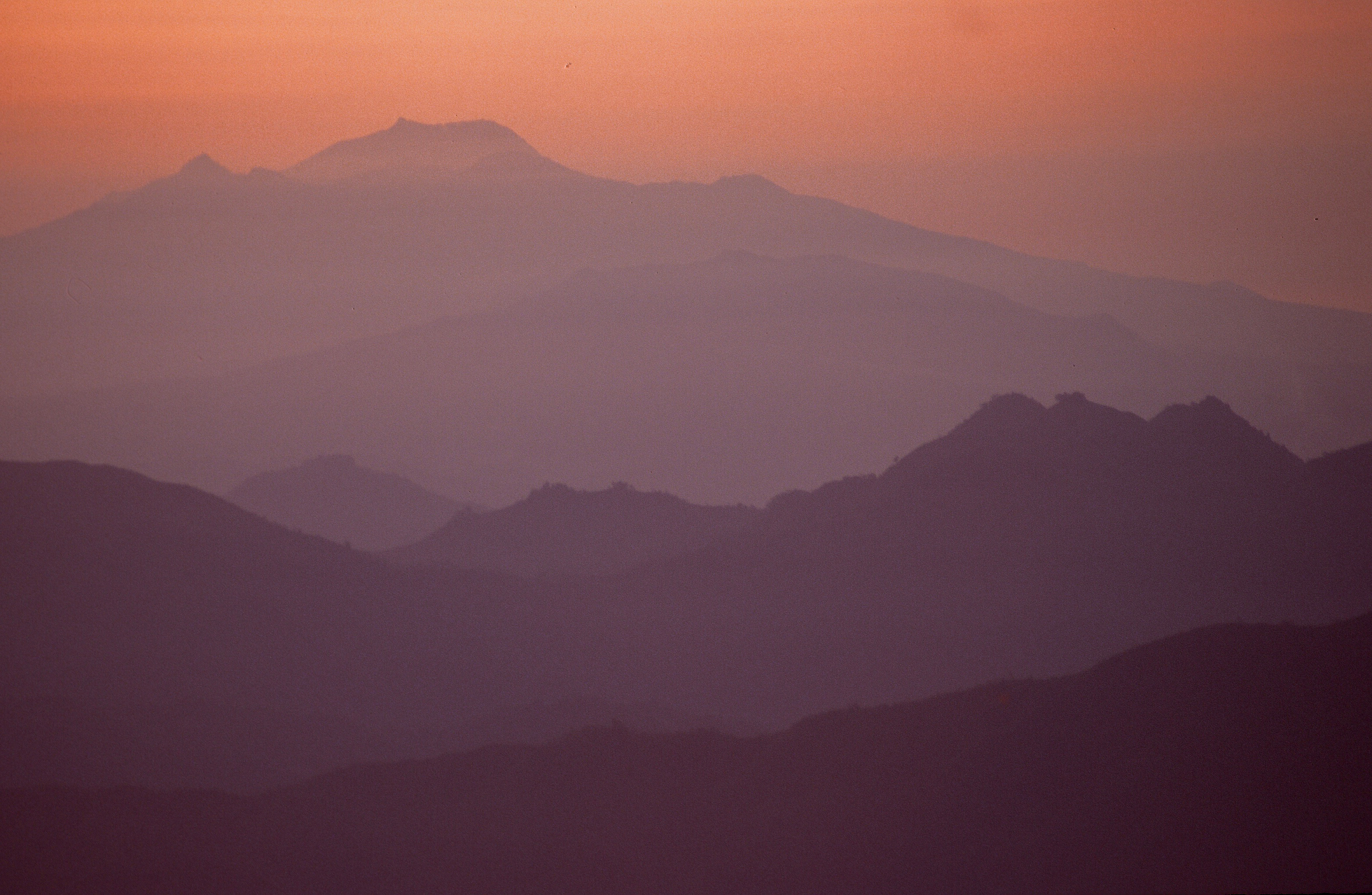
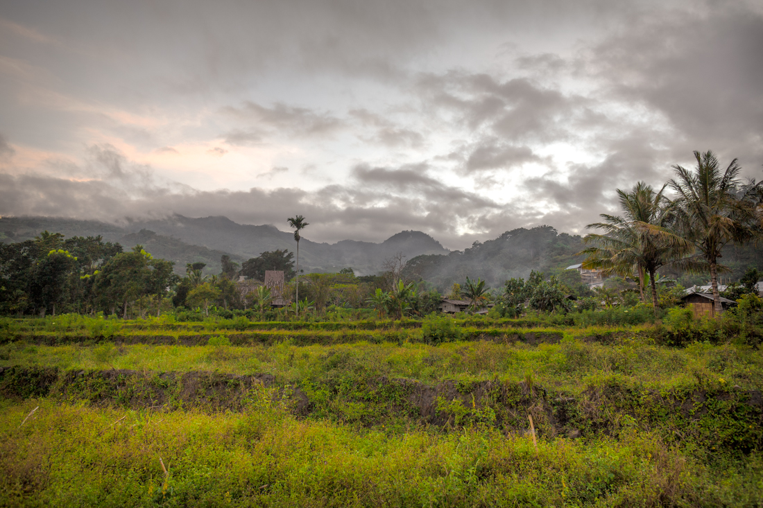
Road Trip - mountain passes and mist
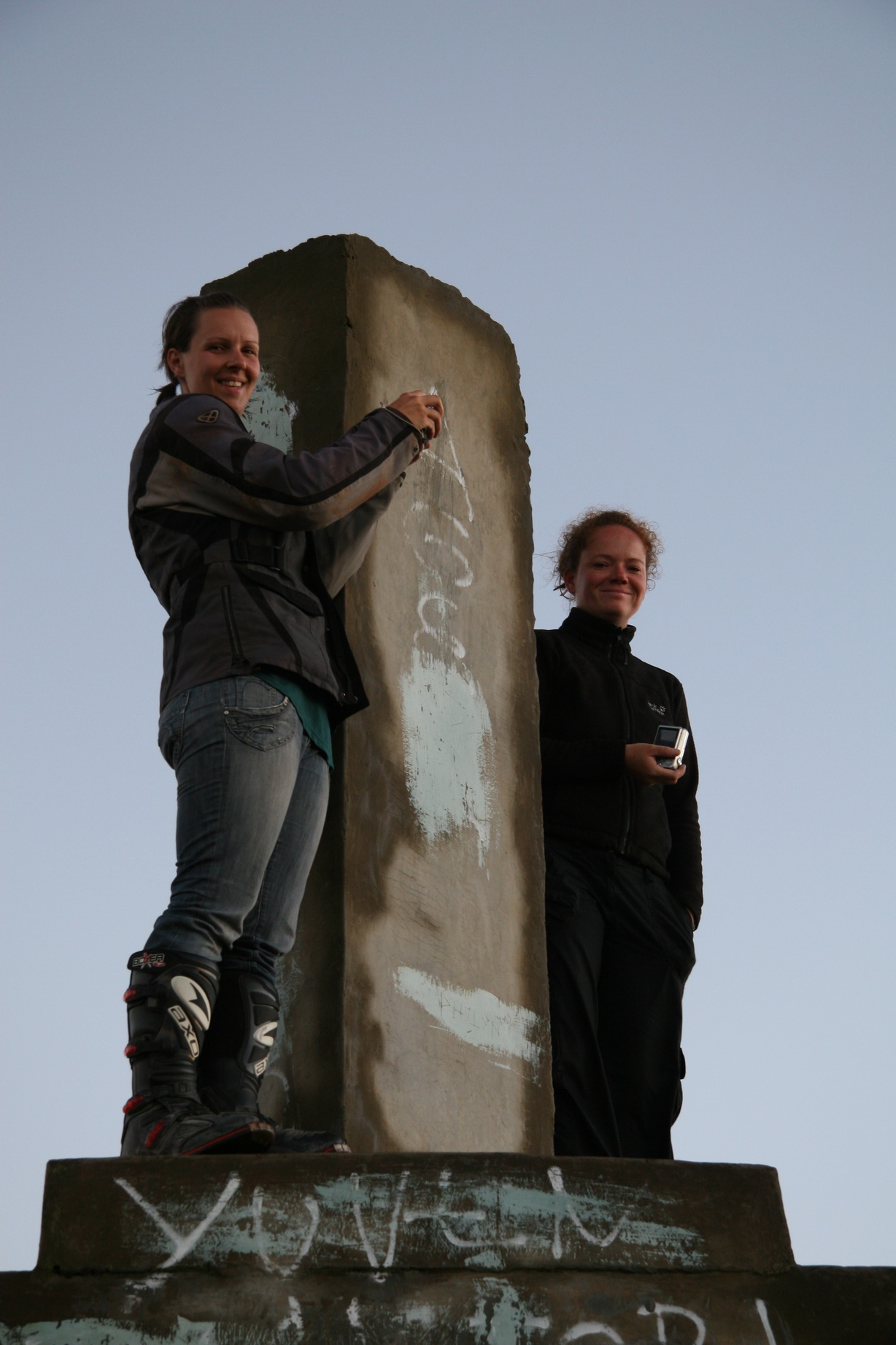
ATW 08

ATW 08

ATW 08
Clouds rising
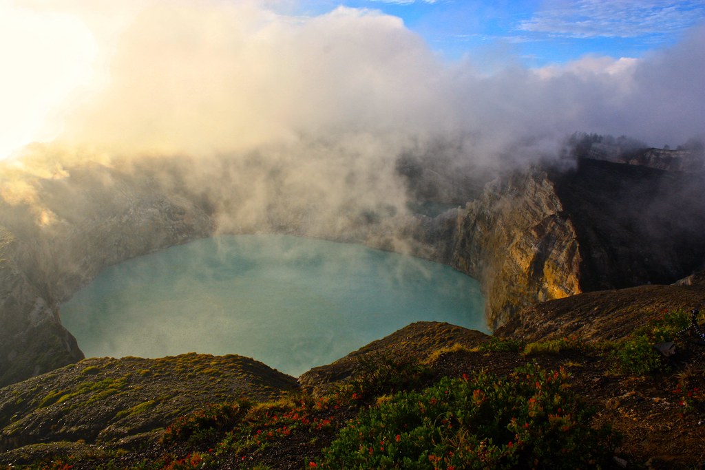
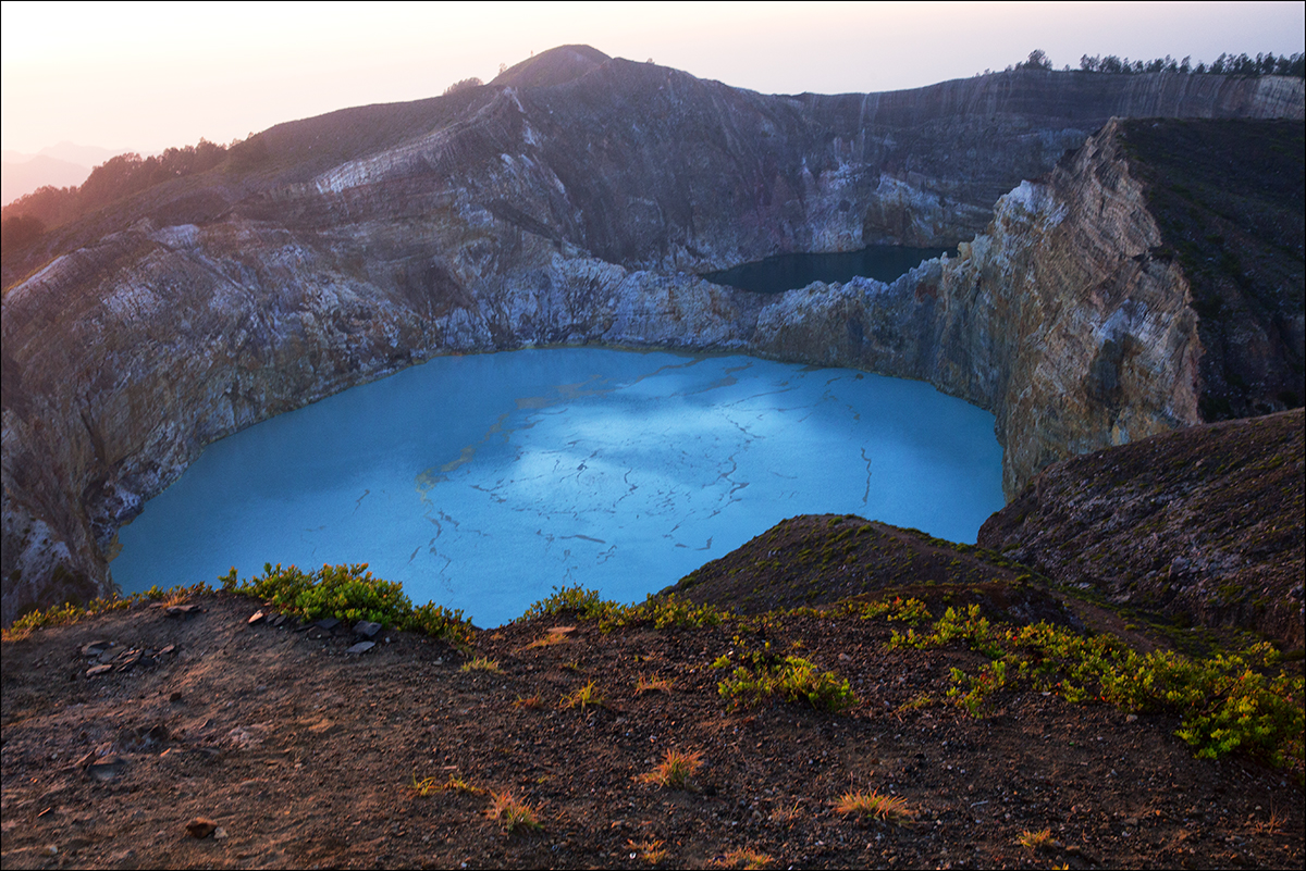
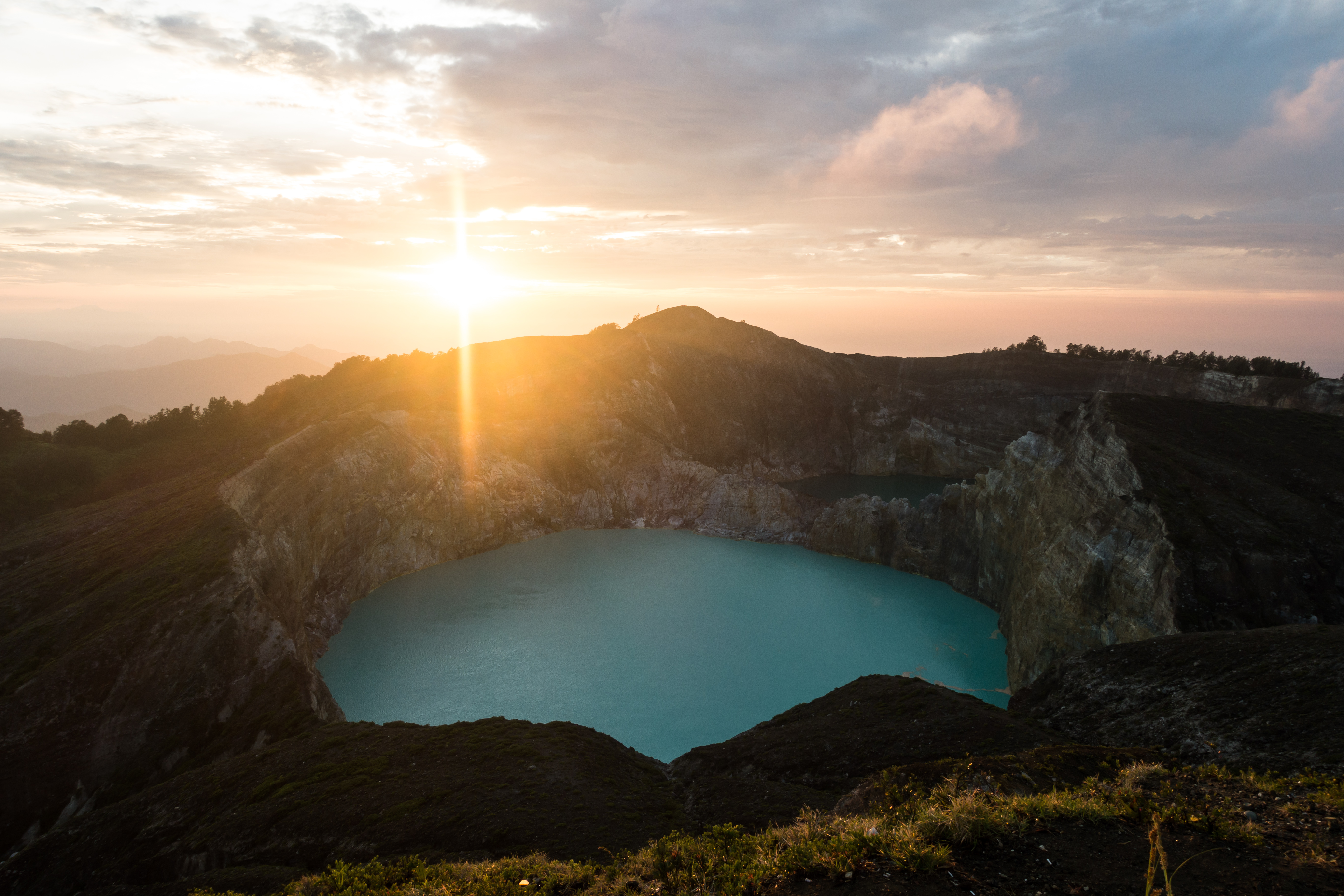
Kelimutu sunrise

Sunrise at Kelimutu Crater

2013-05-08__14-56-54.jpg
19920811-003

2013-05-08__14-56-54.jpg
2013-05-08__14-56-54.jpg
19920811-018
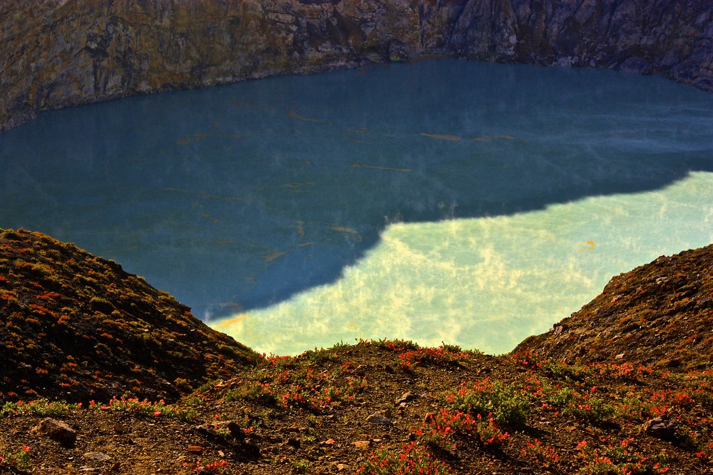
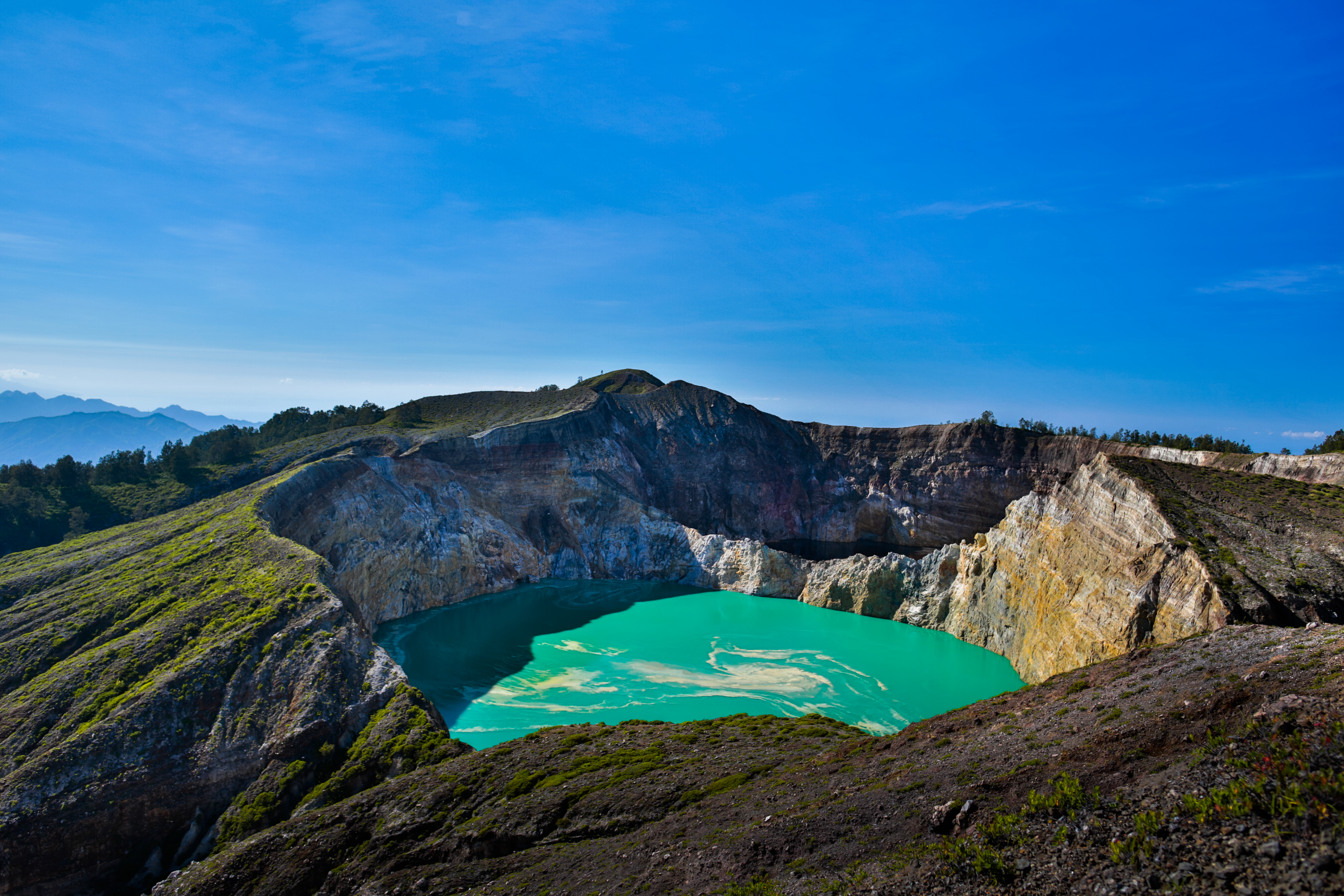
notice the orange swirls? That's minerals coming up to the top of the volcanic lake
Lago azzurro nel cratere
And the clouds clear the Kelimutu volcano
Kelimutu Crater lakes
2013-05-08__07-28-16.jpg
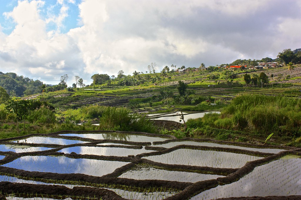
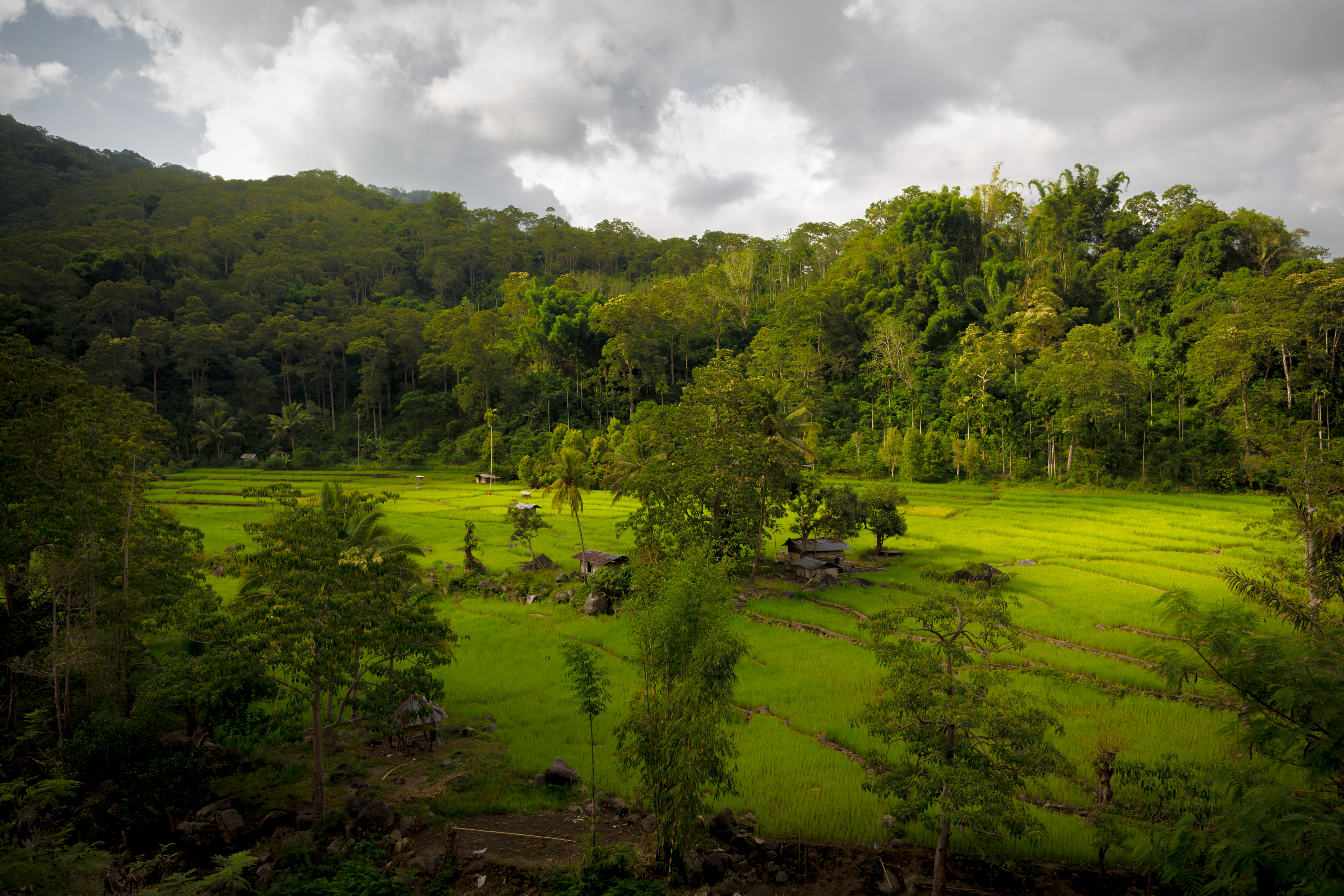
rice terraces outside of Moni
2013-05-08__08-27-17.jpg
2013-05-08__05-48-58.jpg
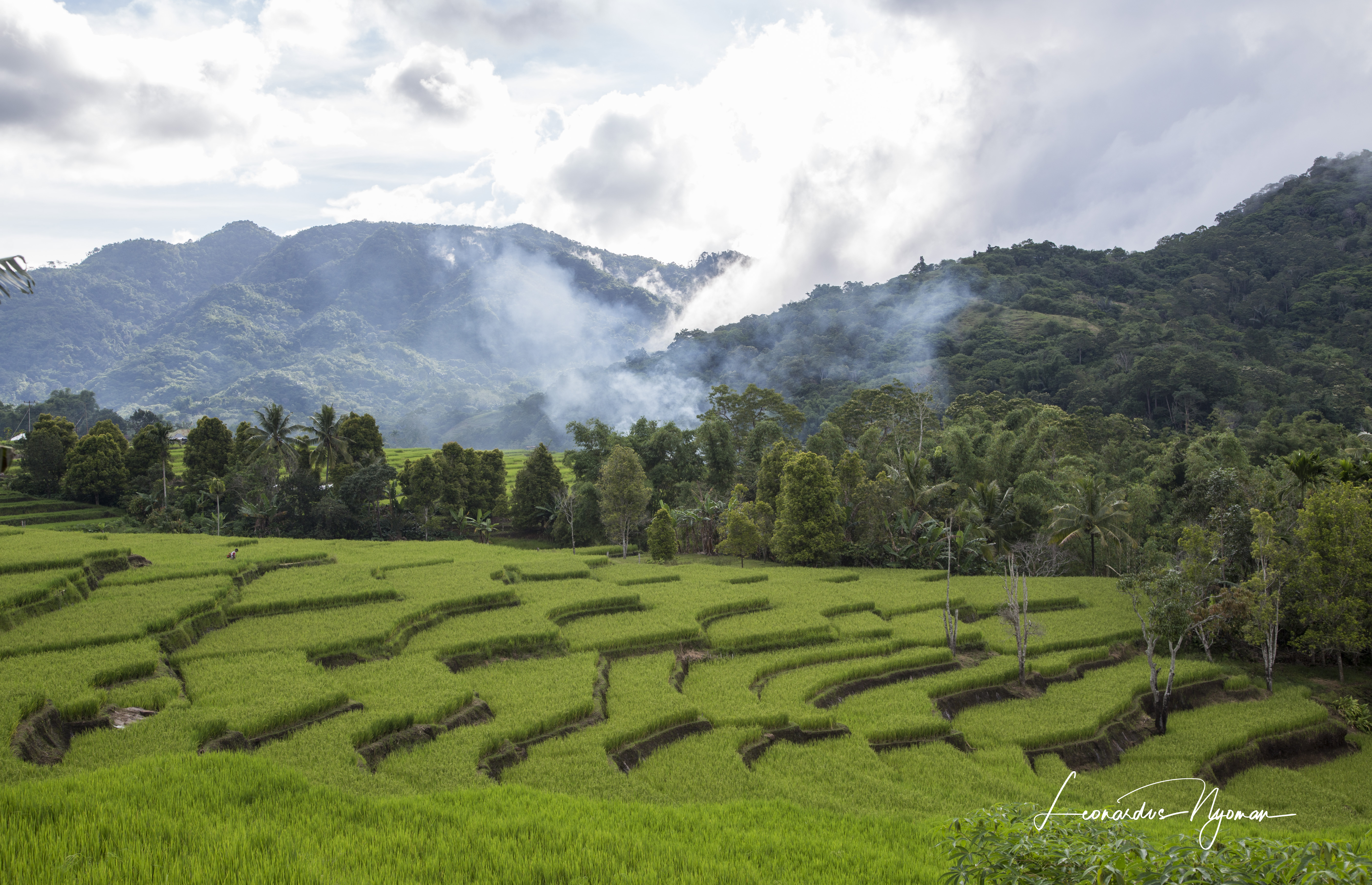
Rice field at Detusoko, Ende

2013-05-08__08-27-17.jpg
Kelimutu Double Crater
2013-05-07__17-46-12.jpg
Topographic Map of Kelimutu, Woloara, Kelimutu, Ende Regency, East Nusa Tenggara, Indonesia
Find elevation by address:

Places near Kelimutu, Woloara, Kelimutu, Ende Regency, East Nusa Tenggara, Indonesia:
Recent Searches:
- Elevation of Tenjo, Cundinamarca, Colombia
- Elevation of Côte-des-Neiges, Montreal, QC H4A 3J6, Canada
- Elevation of Bobcat Dr, Helena, MT, USA
- Elevation of Zu den Ihlowbergen, Althüttendorf, Germany
- Elevation of Badaber, Peshawar, Khyber Pakhtunkhwa, Pakistan
- Elevation of SE Heron Loop, Lincoln City, OR, USA
- Elevation of Slanický ostrov, 01 Námestovo, Slovakia
- Elevation of Spaceport America, Co Rd A, Truth or Consequences, NM, USA
- Elevation of Warwick, RI, USA
- Elevation of Fern Rd, Whitmore, CA, USA