Elevation of Kedompong, Adikarso, Kec. Kebumen, Kabupaten Kebumen, Jawa Tengah, Indonesia
Location: Indonesia > Central Java > Kebumen Regency > Kebumen > Adikarso >
Longitude: 109.675090
Latitude: -7.6912169
Elevation: 22m / 72feet
Barometric Pressure: 101KPa
Elevation Map:
Satellite Map:
Related Photos:
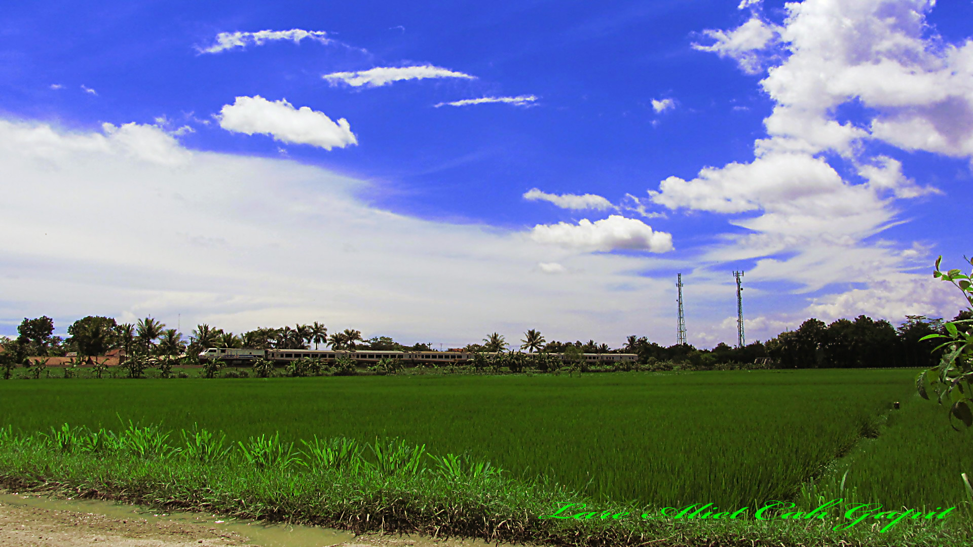
Argo Wilis with view of Blue Sky

Argo Wilis passing Kaligawe with view of bluesky

Mak Guwo seg ngentosi Mbok Go (wonto)

Lodaya passing tiber Lukulo River

Maguwo Ekspress passed Kaligawe

2015-07-0514-31-25050720151431250150-01
2015-07-0512-52-54050720151252540127_1

2015-07-0512-44-56050720151244560123_1

nex6 in action

Pasukan Semen DAOP V PWT

Renville Bridge Lukulo River

Water Fall Cilember 3

Dalam Kesendirian

Pereng Klentheng 2

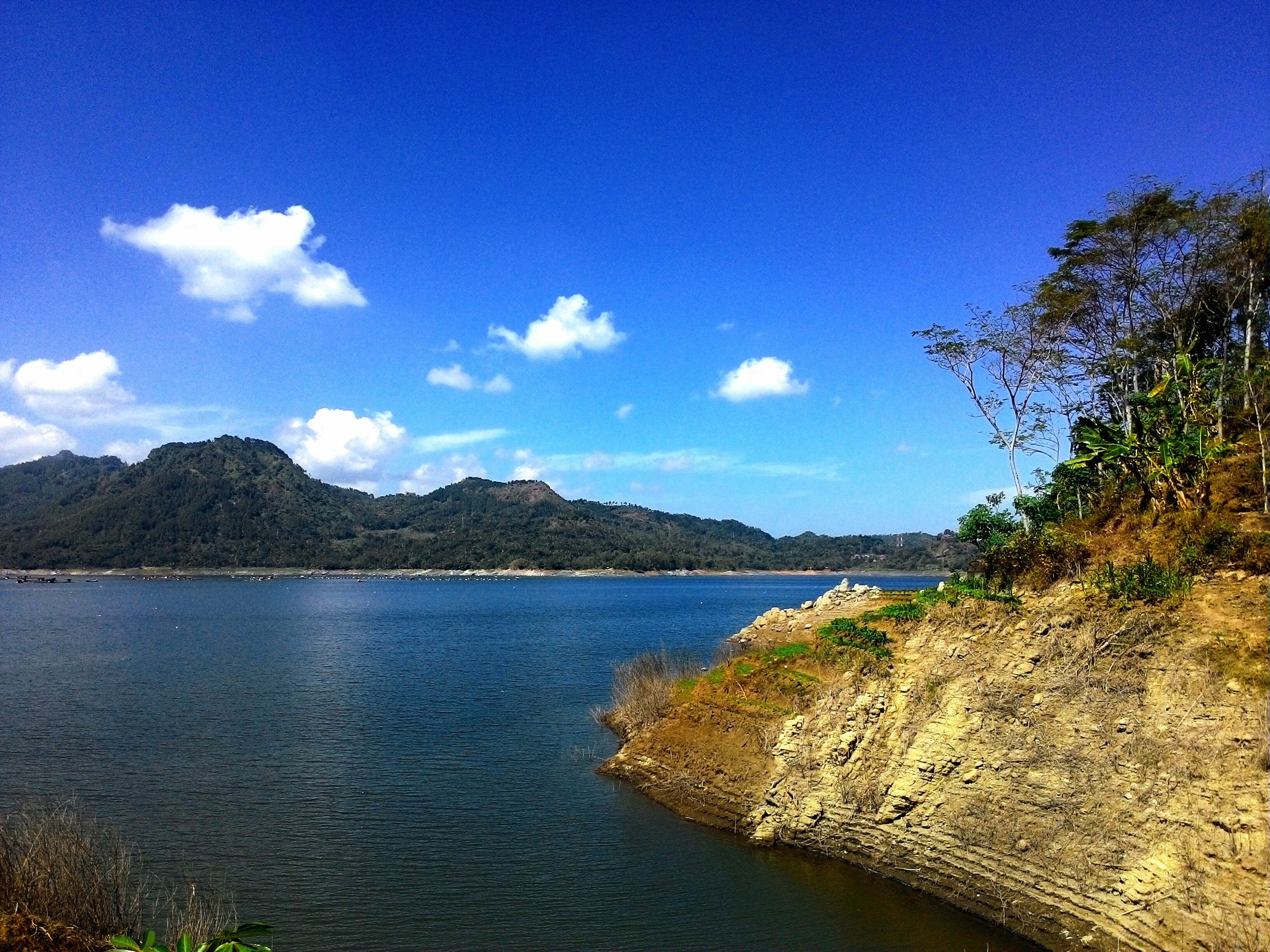
Bendungan Wadas Lintang
Topographic Map of Kedompong, Adikarso, Kec. Kebumen, Kabupaten Kebumen, Jawa Tengah, Indonesia
Find elevation by address:

Places near Kedompong, Adikarso, Kec. Kebumen, Kabupaten Kebumen, Jawa Tengah, Indonesia:
Balai Desa Adikarso
Adikarso
Kebumen
Kebumen Regency
Karanggayam
Purwanegara
Jatijajar
Banjarnegara
Banjarnegara
Purbalingga
Purbalingga Regency
Owabong Water Park Purbalingga
Bojongsari
Bojongsari
South Purwokerto
Hotel Grand Karlita Purwokerto
Purwokerto Kulon
Karangbawang
Purwokerto
Kfc
Recent Searches:
- Elevation of Shibuya Scramble Crossing, 21 Udagawacho, Shibuya City, Tokyo -, Japan
- Elevation of Jadagoniai, Kaunas District Municipality, Lithuania
- Elevation of Pagonija rock, Kranto 7-oji g. 8"N, Kaunas, Lithuania
- Elevation of Co Rd 87, Jamestown, CO, USA
- Elevation of Tenjo, Cundinamarca, Colombia
- Elevation of Côte-des-Neiges, Montreal, QC H4A 3J6, Canada
- Elevation of Bobcat Dr, Helena, MT, USA
- Elevation of Zu den Ihlowbergen, Althüttendorf, Germany
- Elevation of Badaber, Peshawar, Khyber Pakhtunkhwa, Pakistan
- Elevation of SE Heron Loop, Lincoln City, OR, USA