Elevation of Kawakami District, Hokkaido Prefecture, Japan
Location: Japan > Hokkaido Prefecture >
Longitude: 144.53
Latitude: 43.425
Elevation: 103m / 338feet
Barometric Pressure: 100KPa
Elevation Map:
Satellite Map:
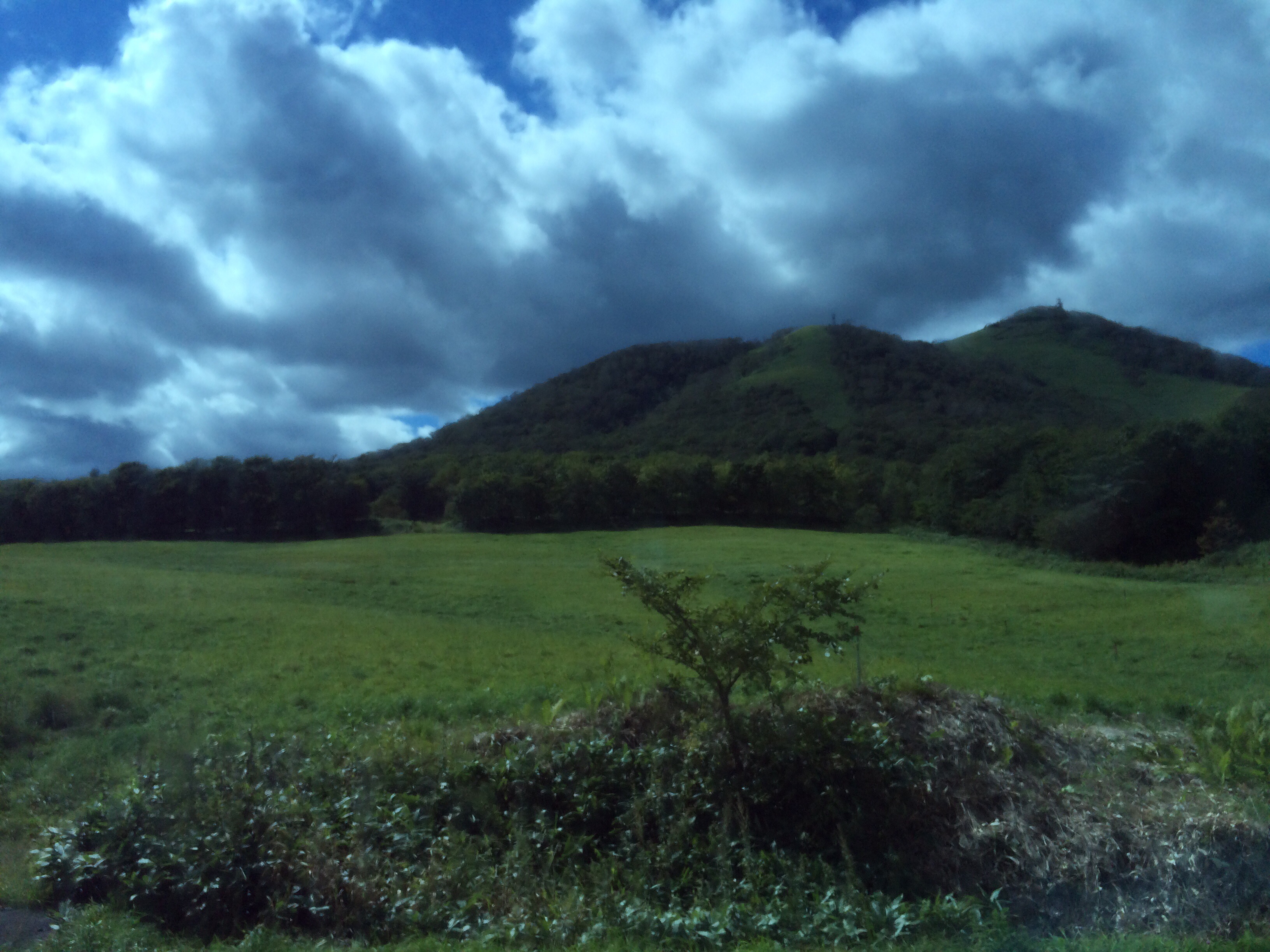
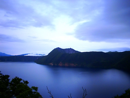
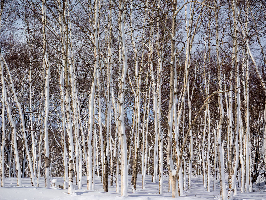
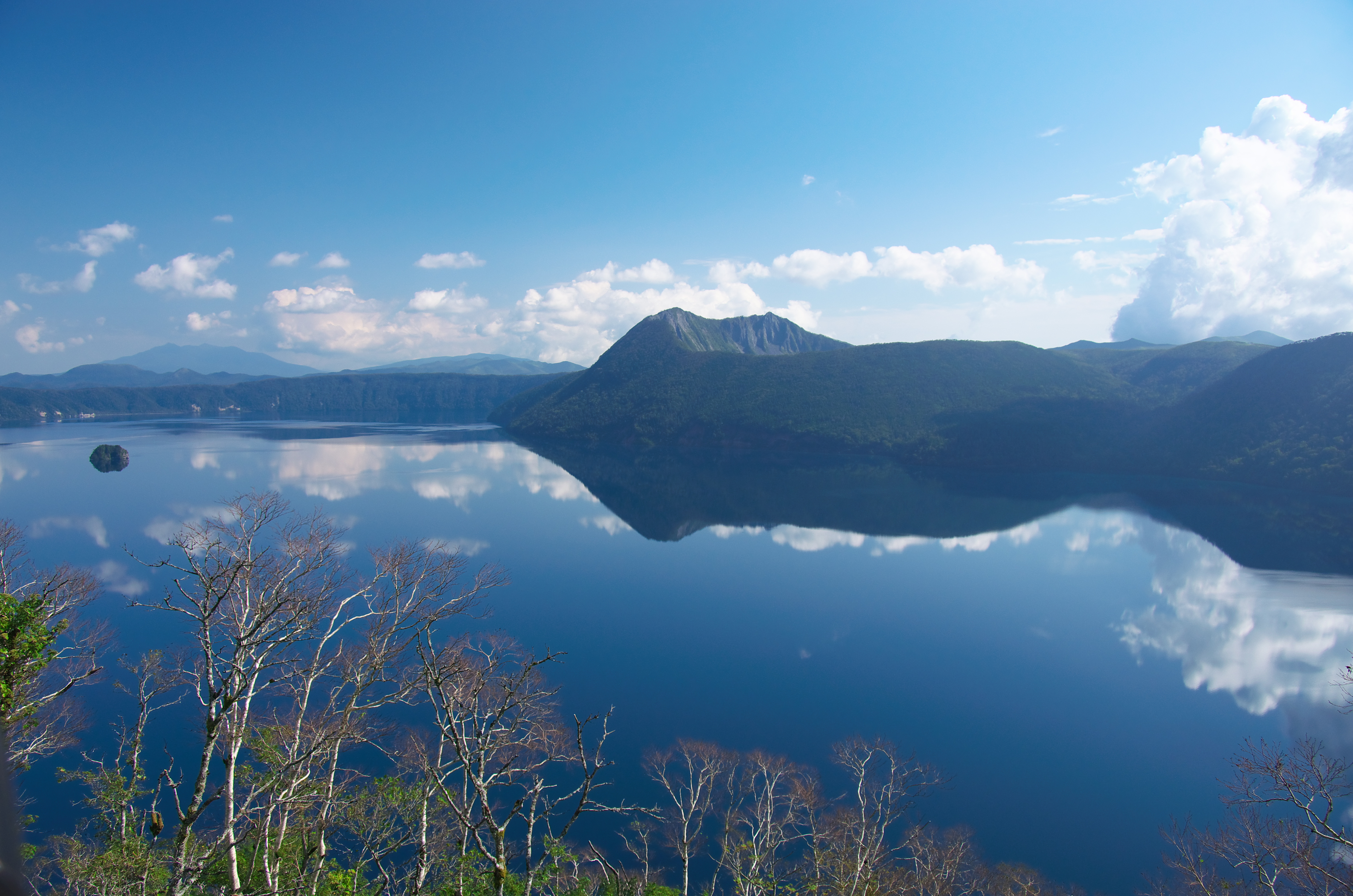
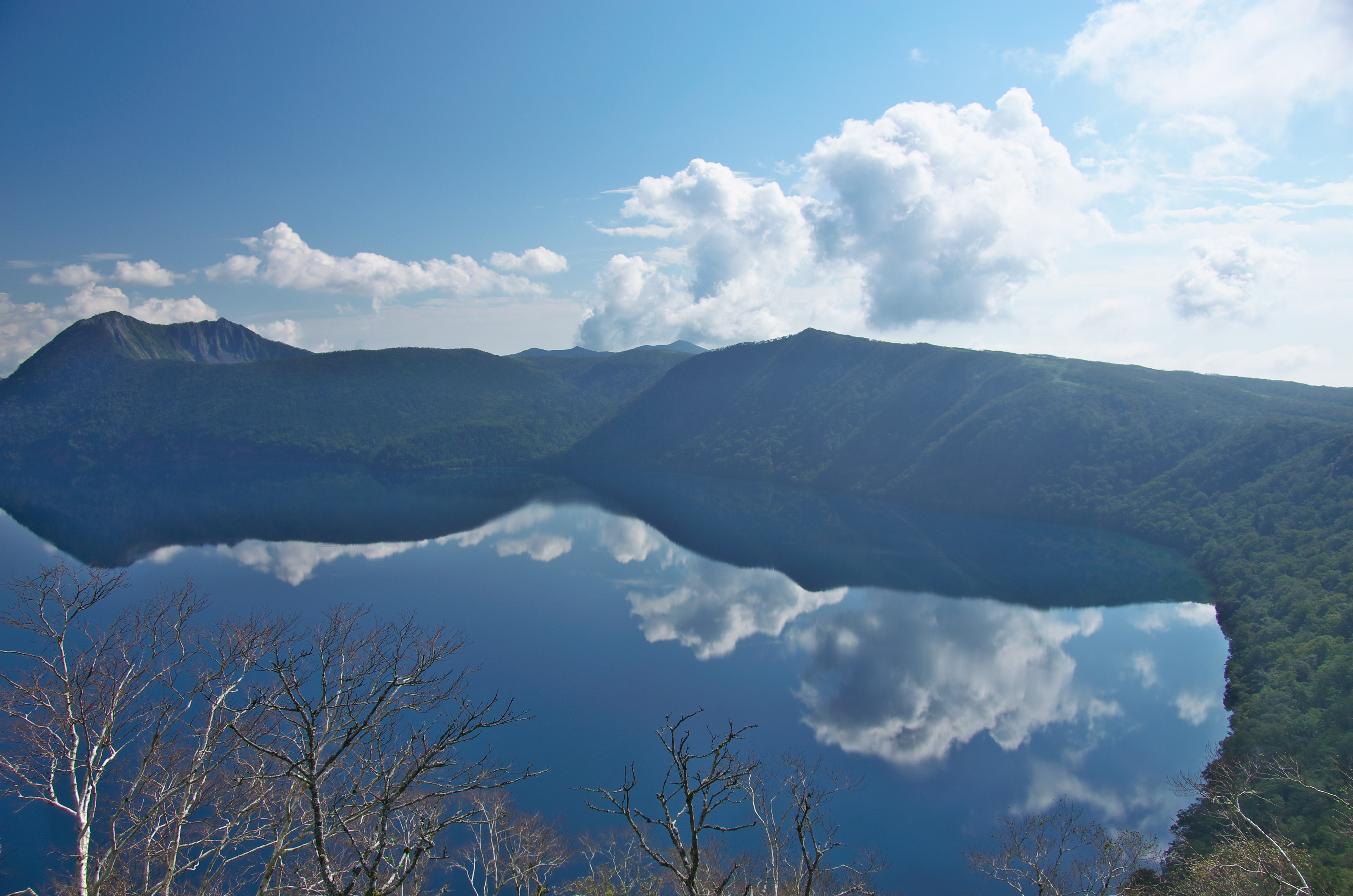
Related Photos:

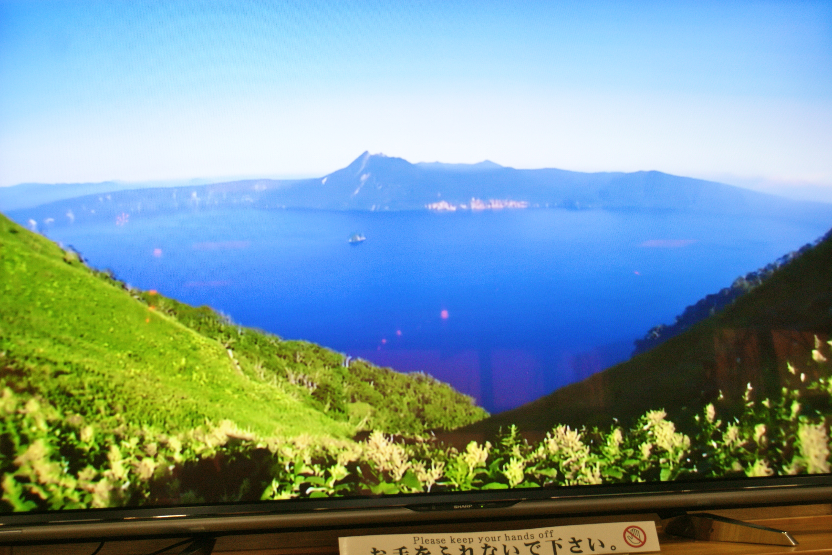
car park with a view

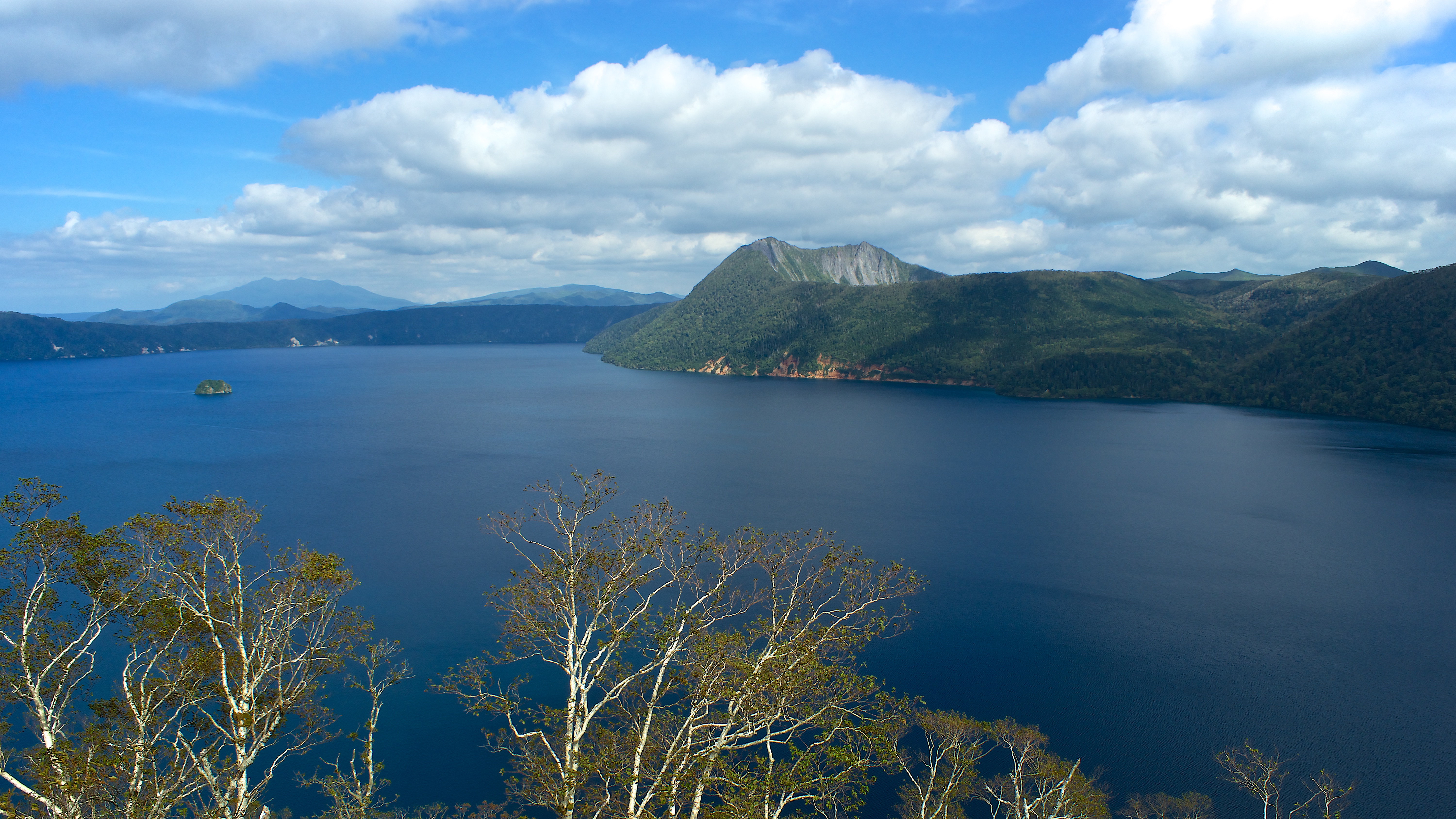
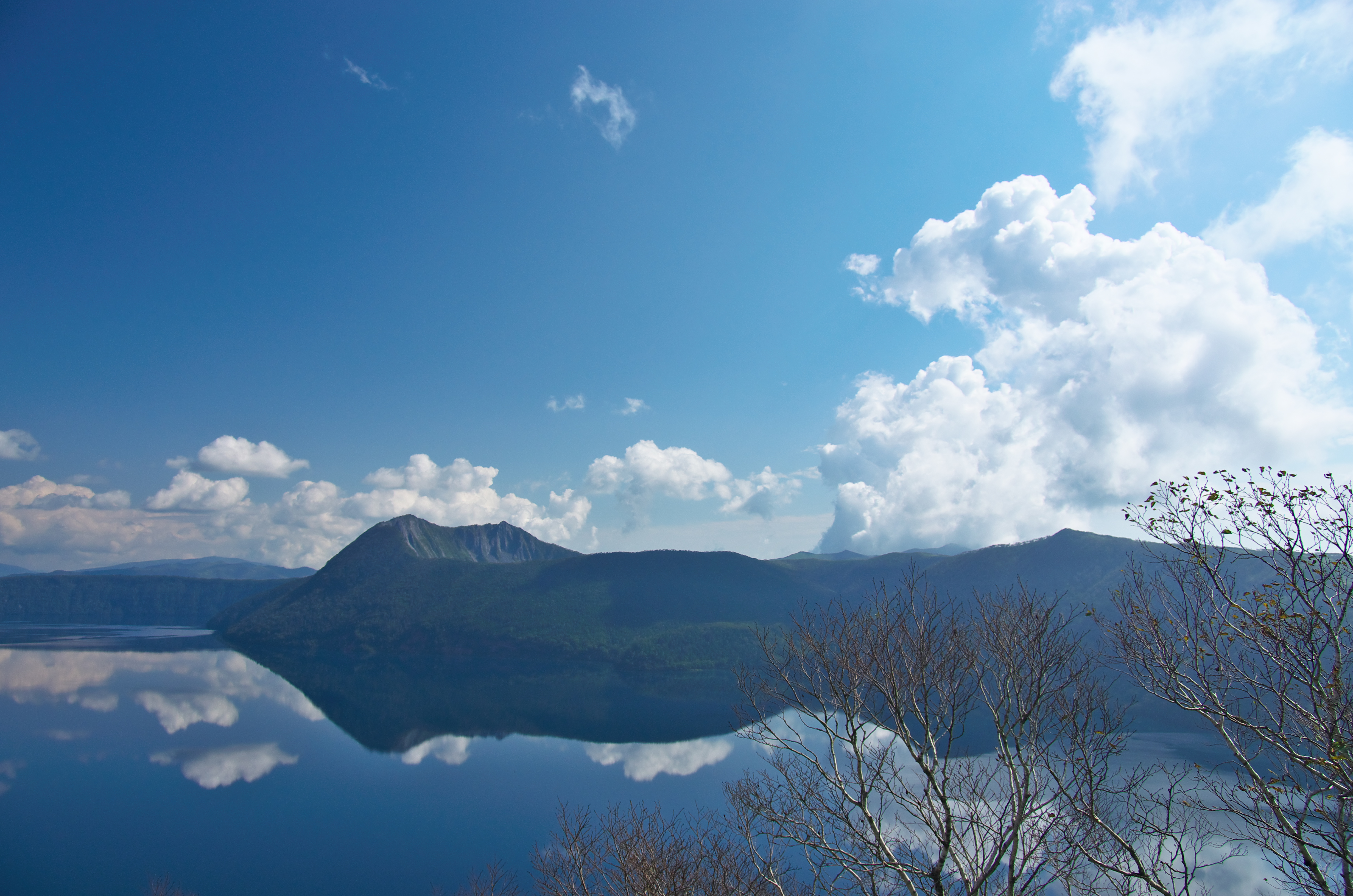
摩周湖 Lake Mashu
autumnal wind
摩周湖 Lake Mashu
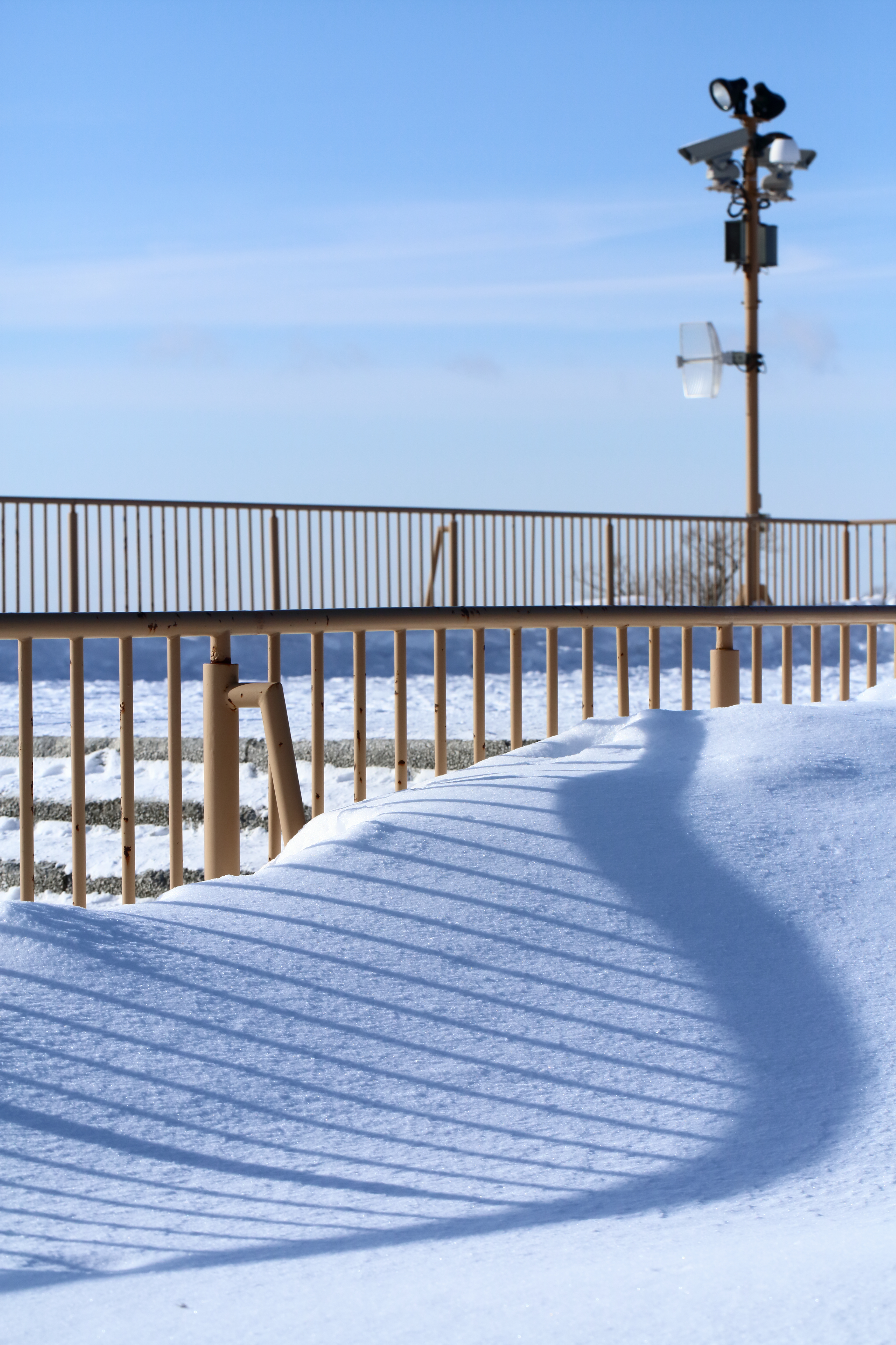
blue shadow.

19930820-0821-02

Lake Mashu
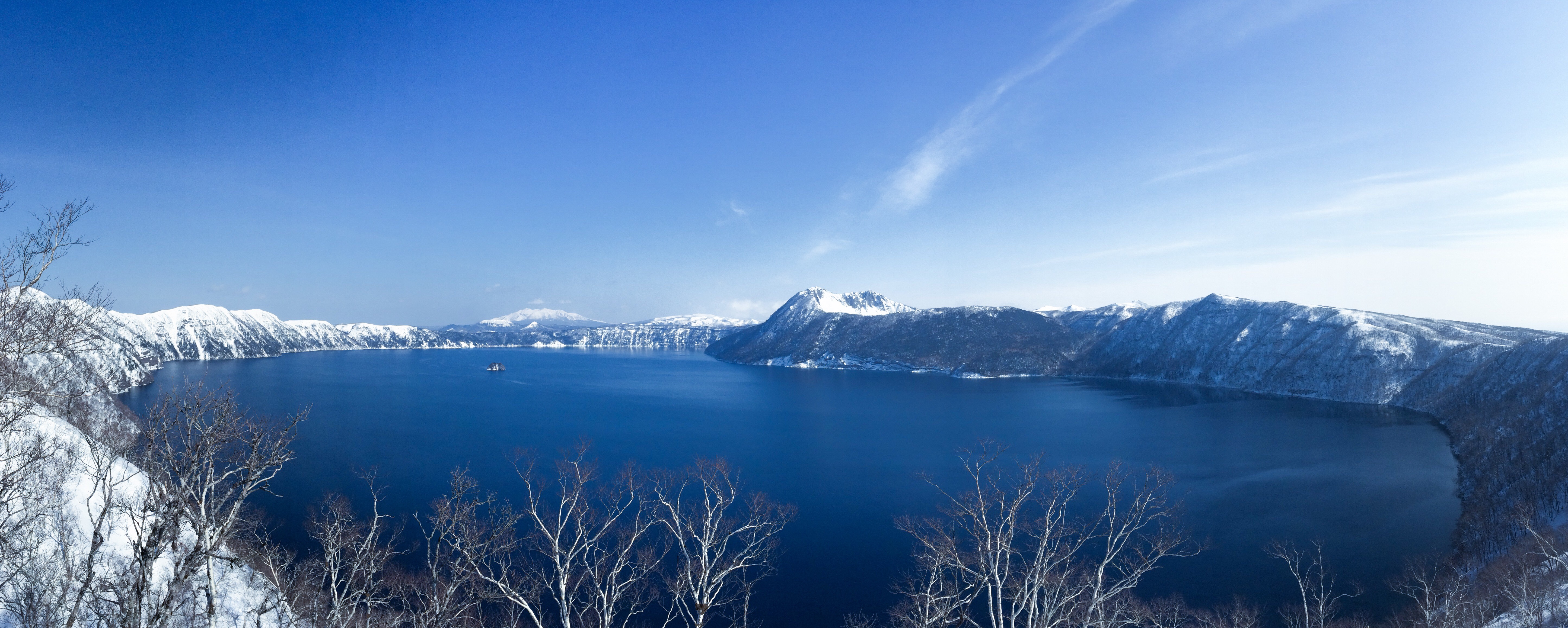
Mashuu Lake at Dawn
美羅尾山
あれ?霧は?
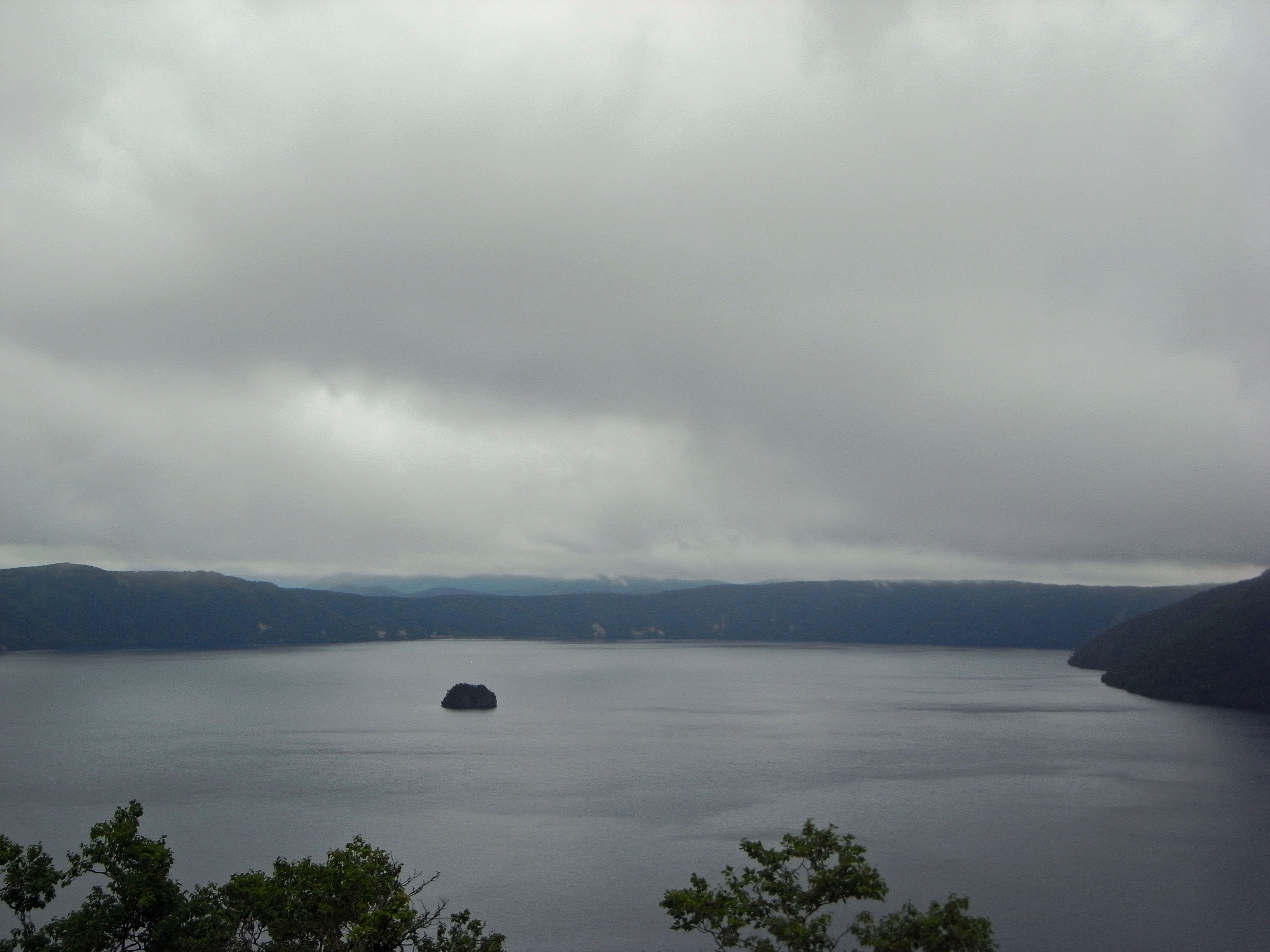
摩周湖
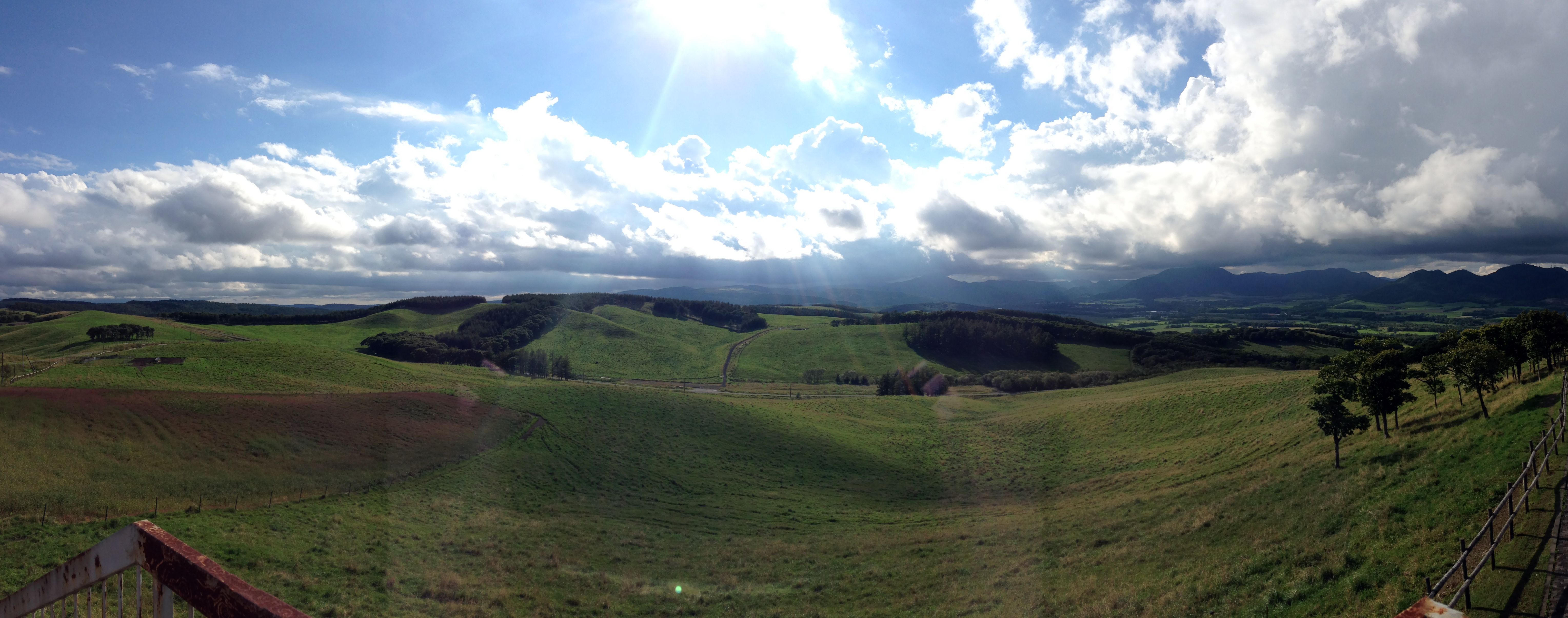
900 Glassland, Teshikaga
摩周湖
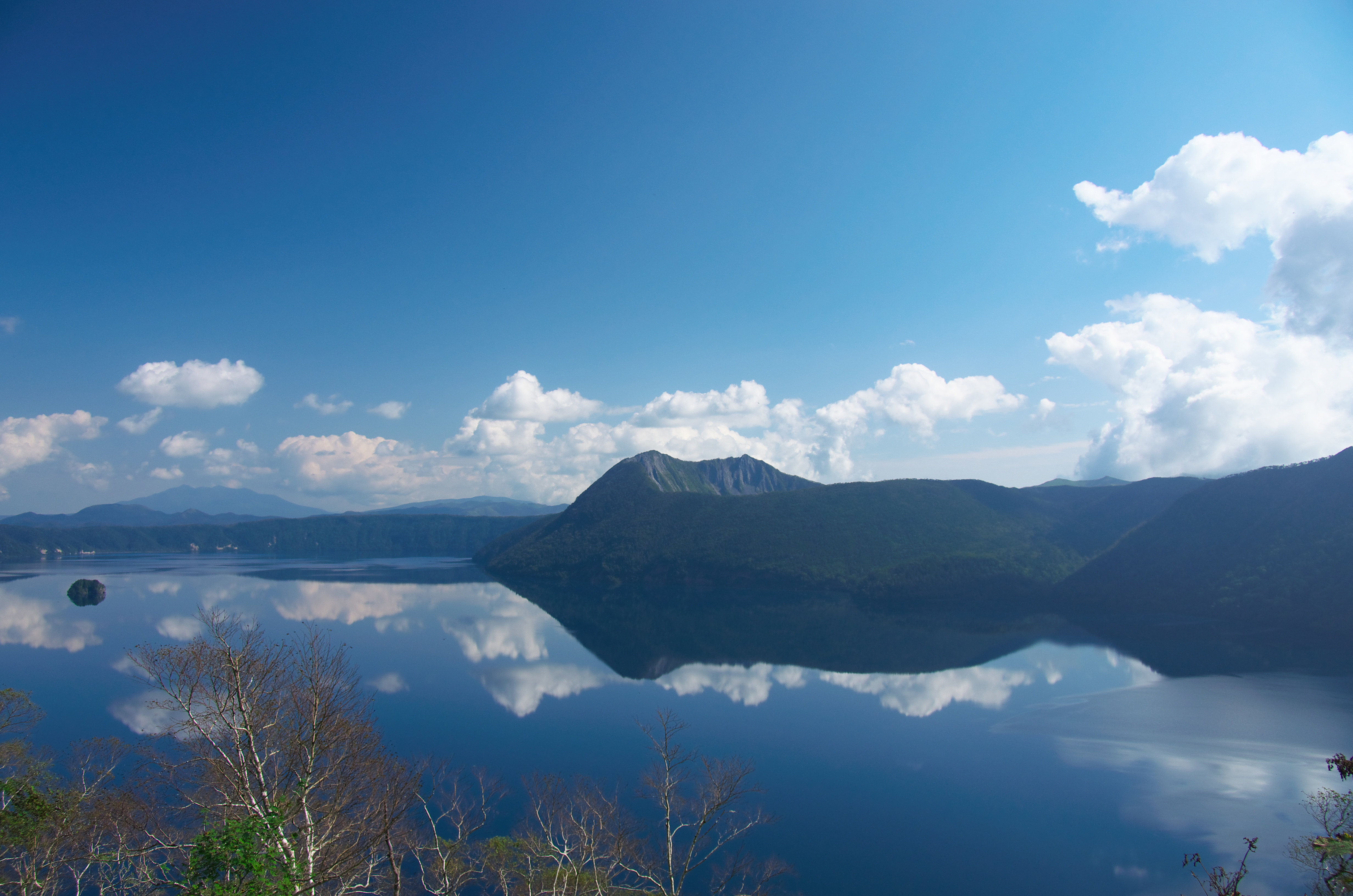
摩周湖
摩周湖
日本北海道之旅-摩周湖
20150228.215-1
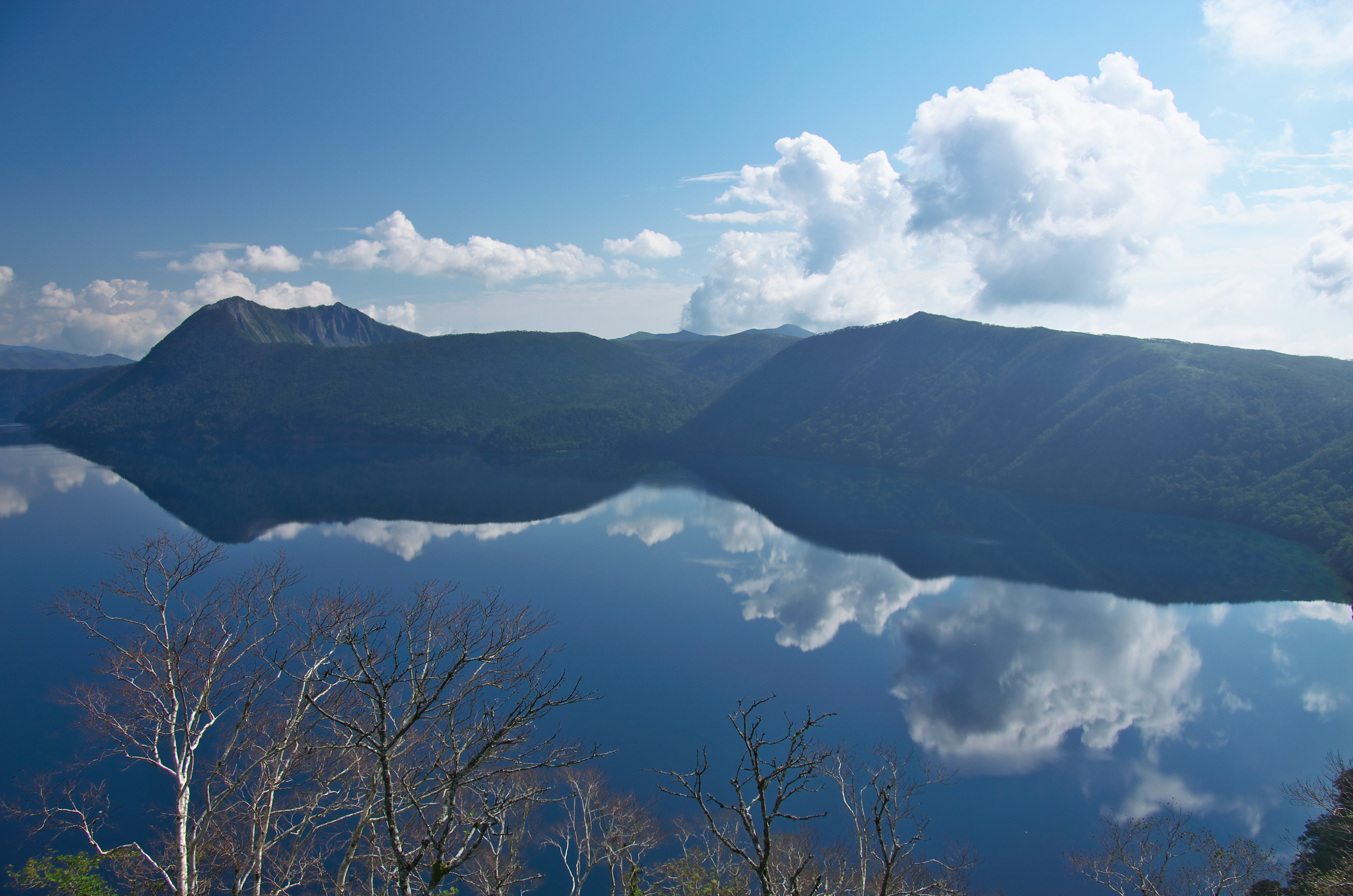
摩周湖

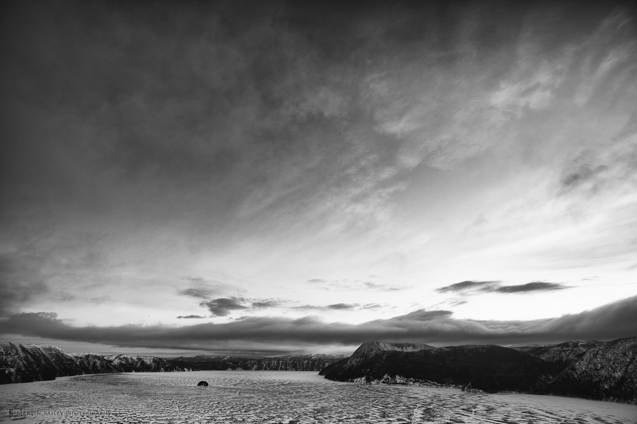
雄阿寒岳に日没

2014/11/09_北海道Day 5_摩周湖
摩周湖
Topographic Map of Kawakami District, Hokkaido Prefecture, Japan
Find elevation by address:

Places in Kawakami District, Hokkaido Prefecture, Japan:
Places near Kawakami District, Hokkaido Prefecture, Japan:
1 Nishikumaushigenya, Shibecha-chō, Kawakami-gun, Hokkaidō -, Japan
Teshikaga
3 Biruwa, Teshikaga-chō, Kawakami-gun, Hokkaidō -, Japan
30 Nishishibecha, Shibecha-chō, Kawakami-gun, Hokkaidō -, Japan
Shibecha
Setsuri, Tsurui-mura, Akan-gun, Hokkaidō -, Japan
Setsuri
51-58 Tōrogenya Kita 7 Sen, Shibecha-chō, Kawakami-gun, Hokkaidō -, Japan
Akan District
Tsurui
29 Setsurigenya Kita 17 Sen Nishi, Tsurui-mura, Akan-gun, Hokkaidō -, Japan
55 Toritōshigenya, Kushiro-chō, Kushiro-gun, Hokkaidō -, Japan
34 Tōyagenya Kisen, Kushiro-chō, Kushiro-gun, Hokkaidō -, Japan
Kushiro District
46 Beppogenya Minami 21 Sen, Kushiro-chō, Kushiro-gun, Hokkaidō -, Japan
1 Chome-21 Beppo, Kushiro-chō, Kushiro-gun, Hokkaidō -, Japan
Kushiro
3-24 Komabachō, Kushiro-shi, Hokkaidō -, Japan
Kushiro
2 Chome-11-2 Okotsu, Kushiro-shi, Hokkaidō -, Japan
Recent Searches:
- Elevation of Luther Road, Luther Rd, Auburn, CA, USA
- Elevation of Unnamed Road, Respublika Severnaya Osetiya — Alaniya, Russia
- Elevation of Verkhny Fiagdon, North Ossetia–Alania Republic, Russia
- Elevation of F. Viola Hiway, San Rafael, Bulacan, Philippines
- Elevation of Herbage Dr, Gulfport, MS, USA
- Elevation of Lilac Cir, Haldimand, ON N3W 2G9, Canada
- Elevation of Harrod Branch Road, Harrod Branch Rd, Kentucky, USA
- Elevation of Wyndham Grand Barbados Sam Lords Castle All Inclusive Resort, End of Belair Road, Long Bay, Bridgetown Barbados
- Elevation of Iga Trl, Maggie Valley, NC, USA
- Elevation of N Co Rd 31D, Loveland, CO, USA