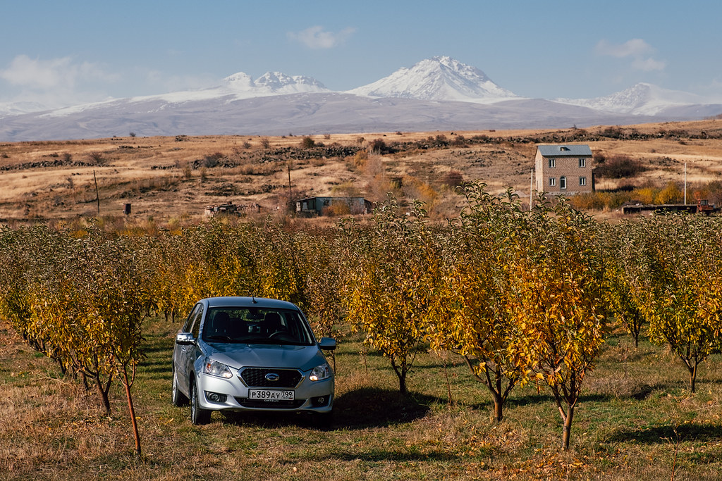
Elevation of Katnaghbyur, Armenia
Location: Armenia >
Longitude: 43.9464536
Latitude: 40.3805402
Elevation: 1717m / 5633feet
Barometric Pressure: 82KPa
Elevation Map:
Satellite Map:
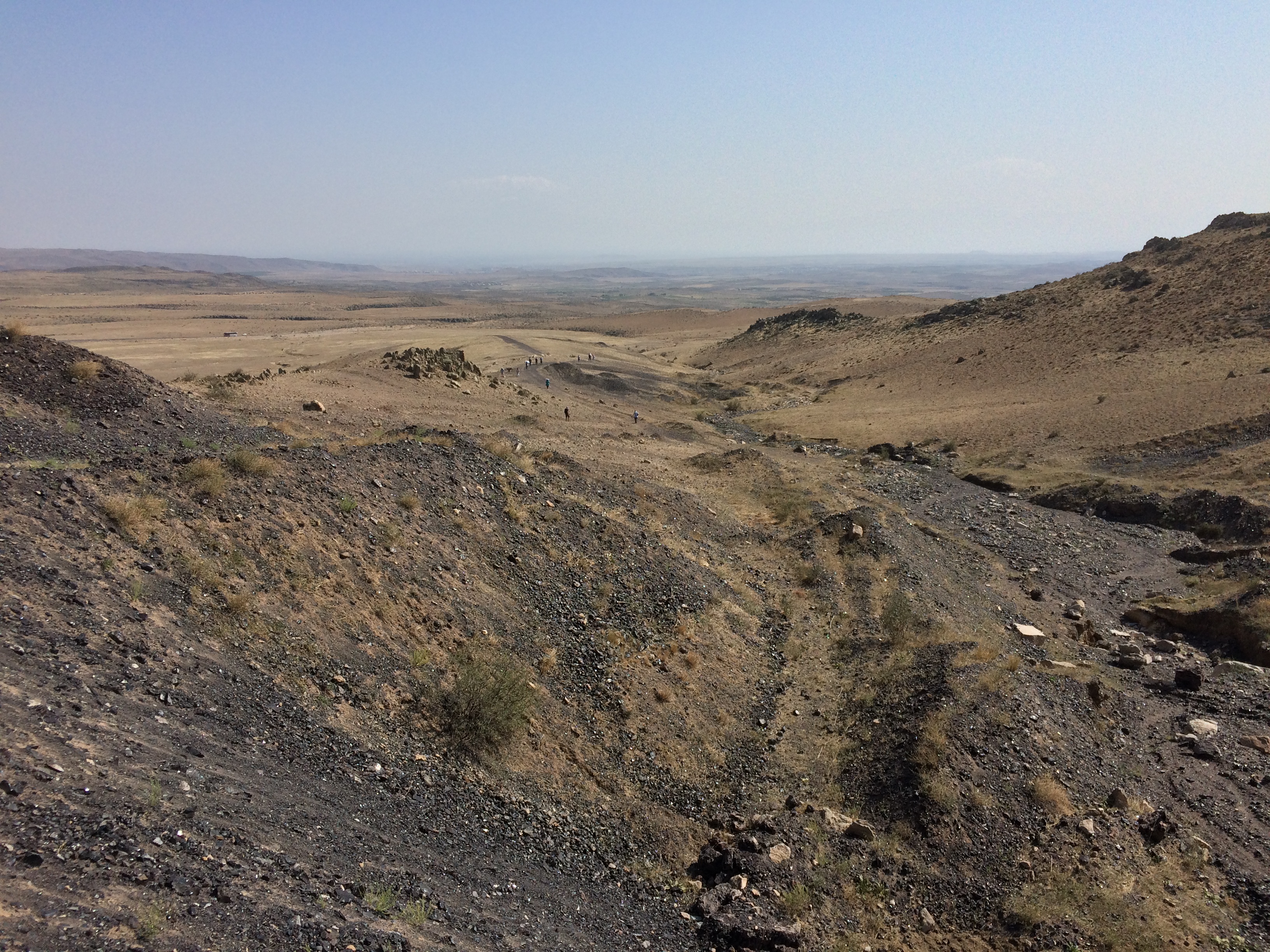
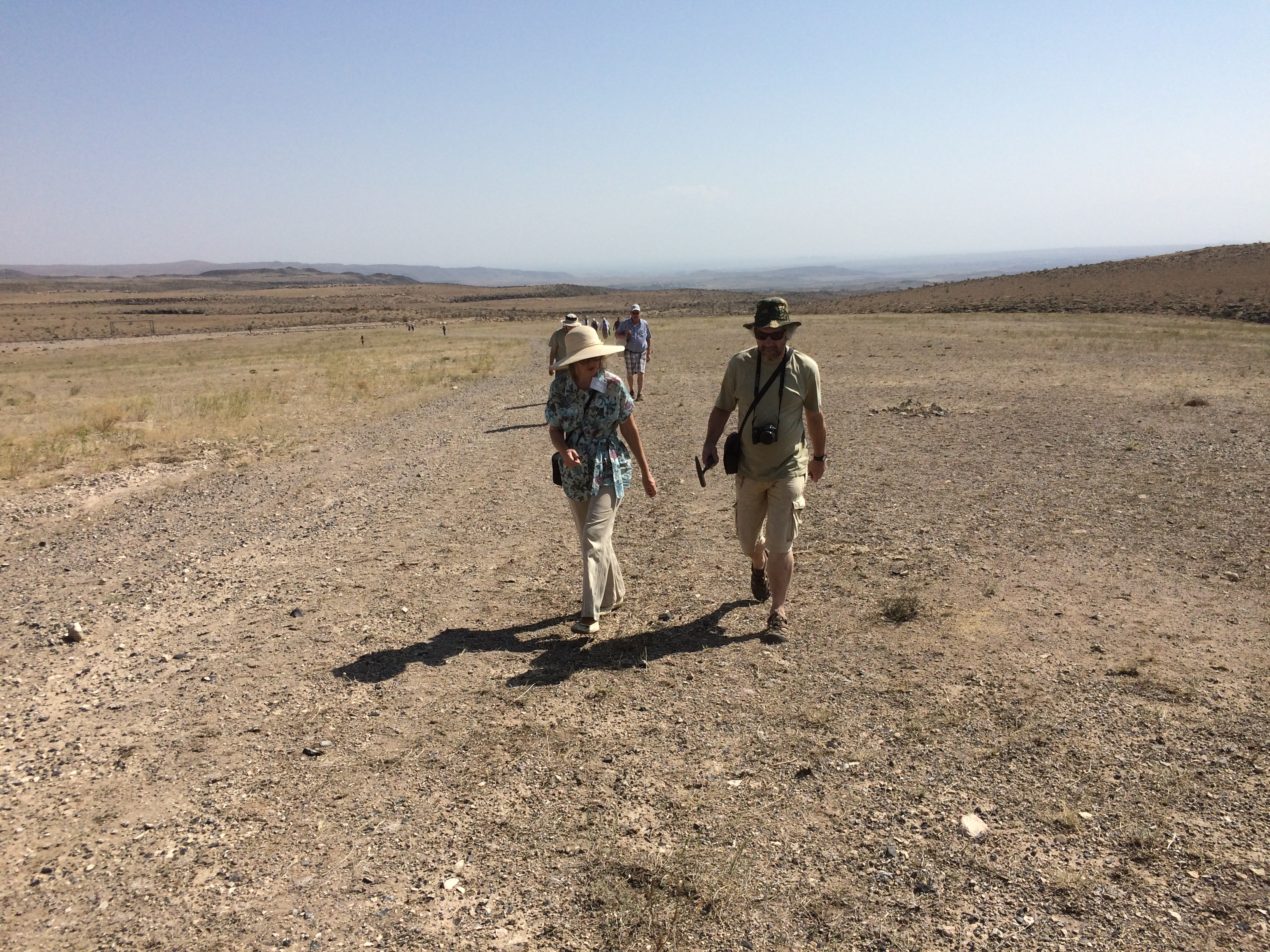
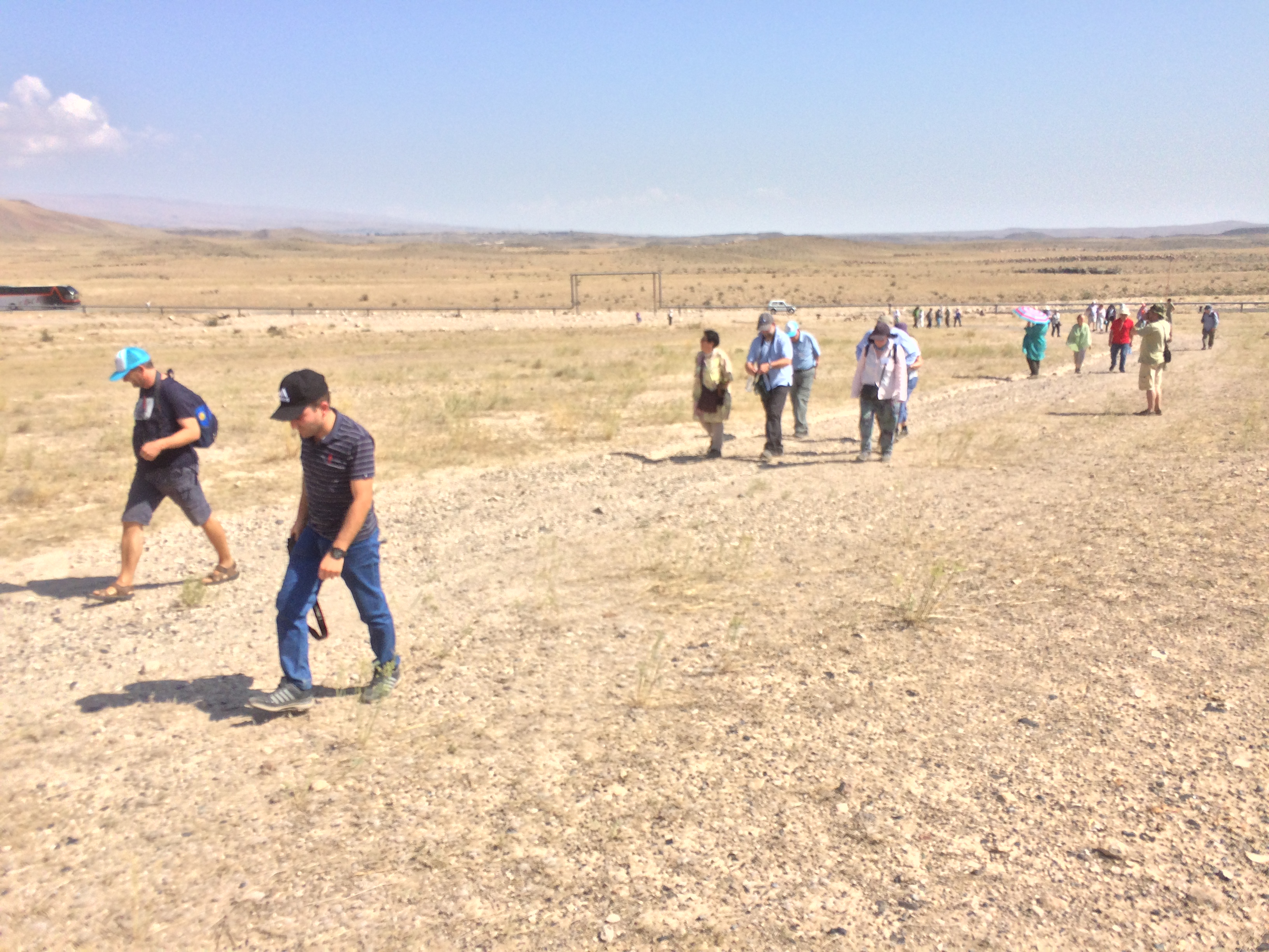
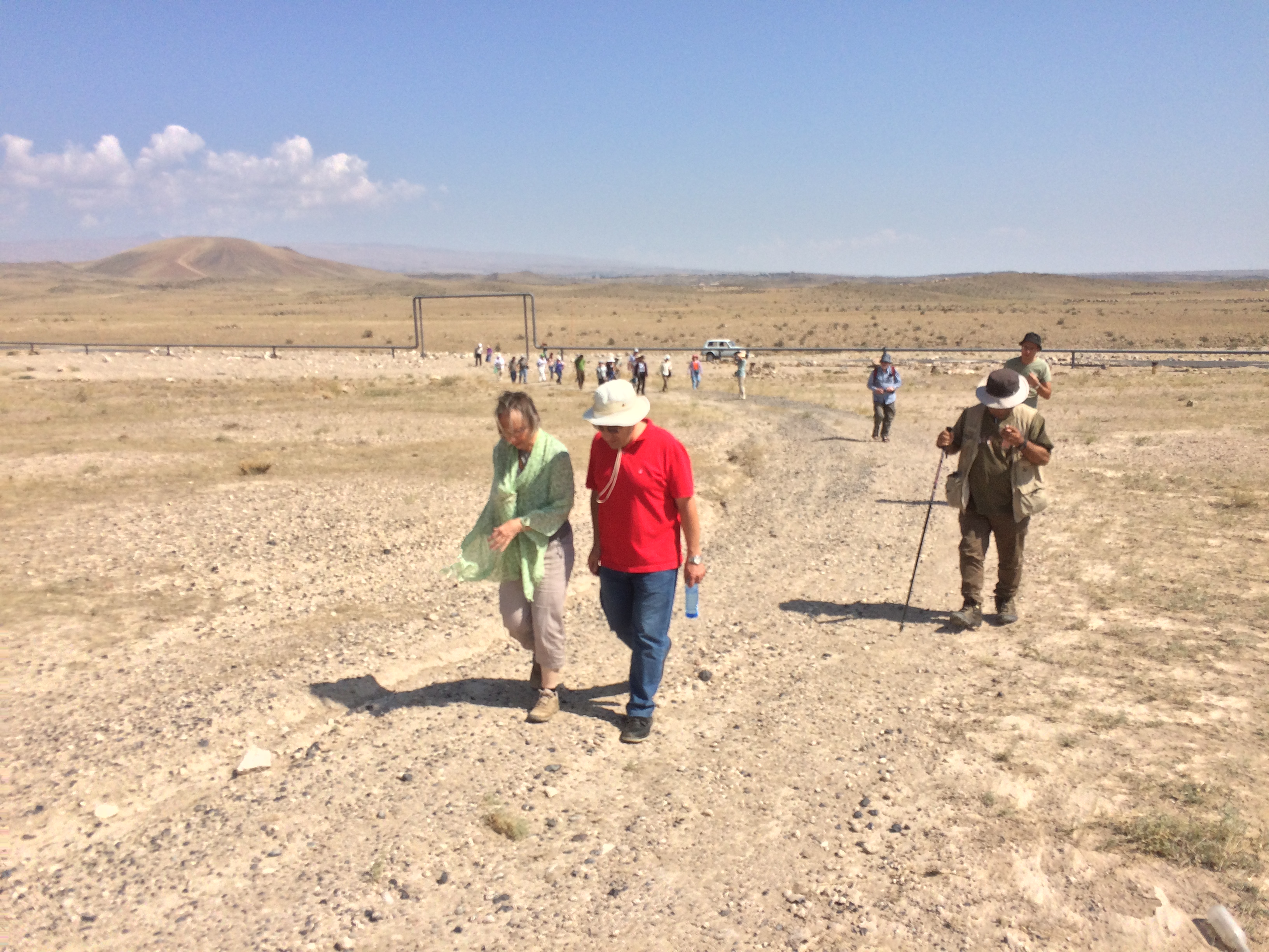
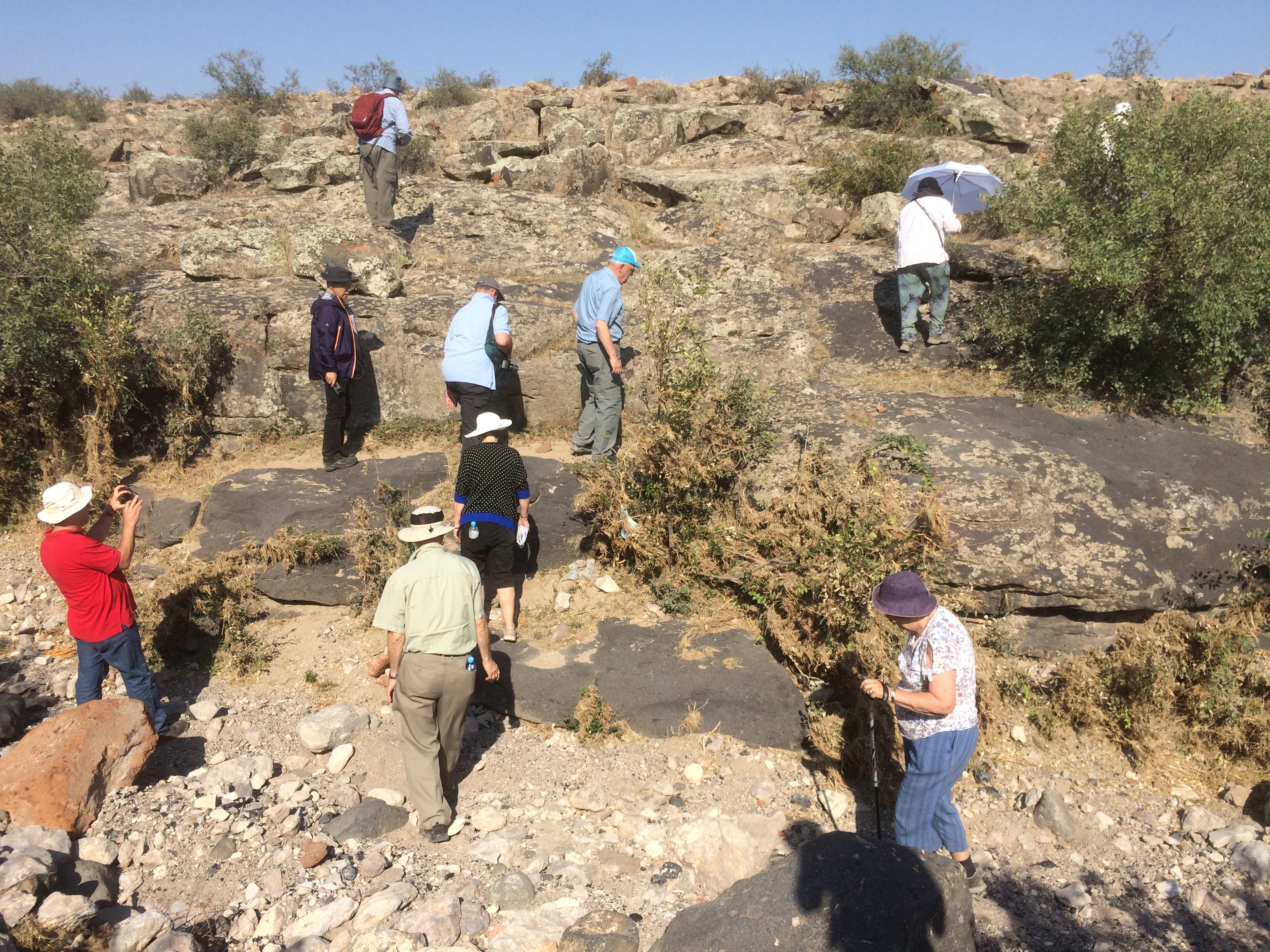
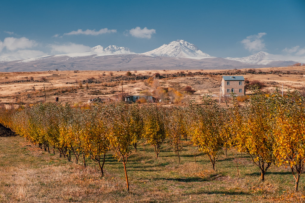
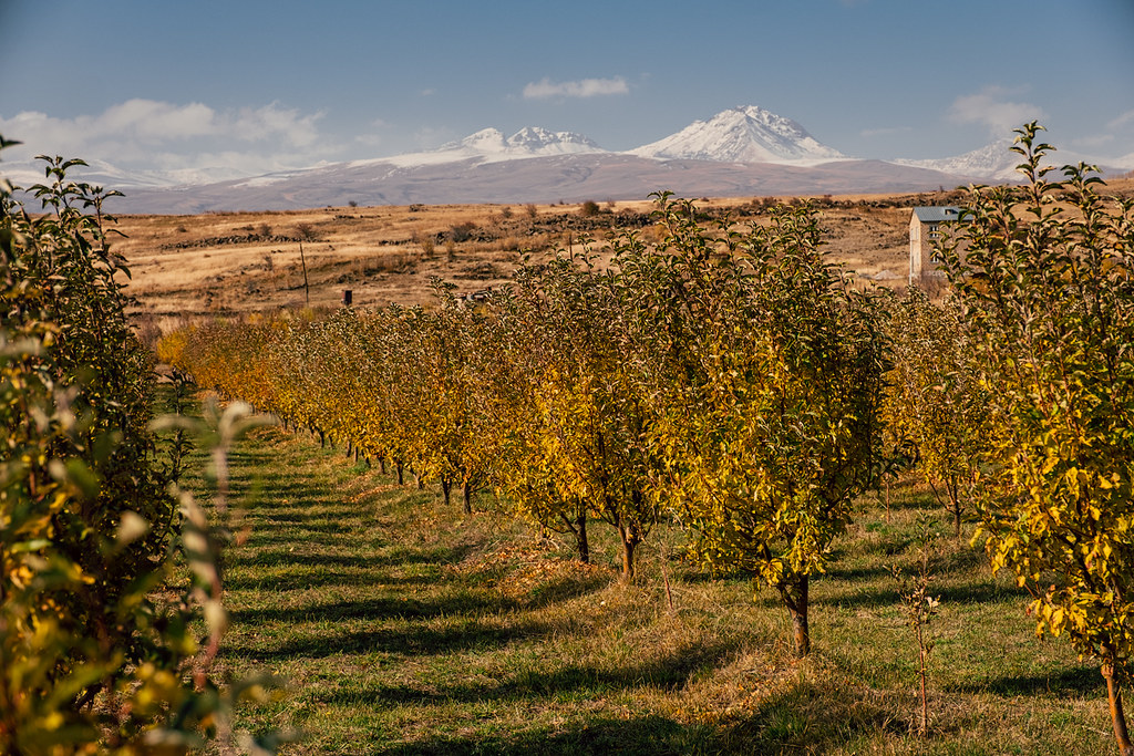
Related Photos:
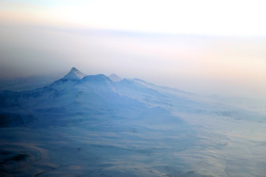
Aerial View of Mt Aragats, Armenia
IMG_9496
IMG_9478
IMG_9476
IMG_9494
DSC_2335
IMG_9479

DSC_2660
IMG_9500

DSC_2659

IMG_9505
IMG_9475
IMG_9504
DSCF8354
DSCF8381
DSCF8360
Topographic Map of Katnaghbyur, Armenia
Find elevation by address:

Places near Katnaghbyur, Armenia:
Nerkin Bazmaberd
Mastara
Maralik
Armavir Province
Kari Lake
Ujan
Mount Aragats
Beniamin
Aragats
Amberd
Vagharshapat
Ashtarak
Saghmosavank
Proshyan
Zvartnots International Airport
Mount Ara
Shinararneri Street
Yerevan
1 Mesrop Mashtots Ave
Antarayin
Recent Searches:
- Elevation of Leyte Industrial Development Estate, Isabel, Leyte, Philippines
- Elevation of W Granada St, Tampa, FL, USA
- Elevation of Pykes Down, Ivybridge PL21 0BY, UK
- Elevation of Jalan Senandin, Lutong, Miri, Sarawak, Malaysia
- Elevation of Bilohirs'k
- Elevation of 30 Oak Lawn Dr, Barkhamsted, CT, USA
- Elevation of Luther Road, Luther Rd, Auburn, CA, USA
- Elevation of Unnamed Road, Respublika Severnaya Osetiya — Alaniya, Russia
- Elevation of Verkhny Fiagdon, North Ossetia–Alania Republic, Russia
- Elevation of F. Viola Hiway, San Rafael, Bulacan, Philippines