Elevation of Karstula, Finland
Location: Finland >
Longitude: 24.7707093
Latitude: 62.8680742
Elevation: 149m / 489feet
Barometric Pressure: 100KPa
Elevation Map:
Satellite Map:
Related Photos:
20060624T022254
Tech on Bike, Arctic 2010

Look up. #canonnordic #canon #5dsr #Pääjärvi #finland

Oslö

Arttu ja taru

Retrodorm museum

Besökare Samtidigt

Besökare Samtidigt

Nujin durmaz

Kirkkovuoren näkötorni
Tech on Bike, Arctic 2010
5.6.2010
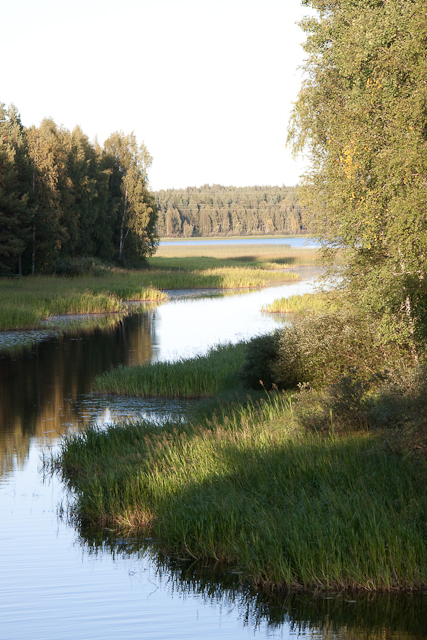
River in Karstula

01.08.2008

01.08.2008

01.08.2008

Karstulan kirkko
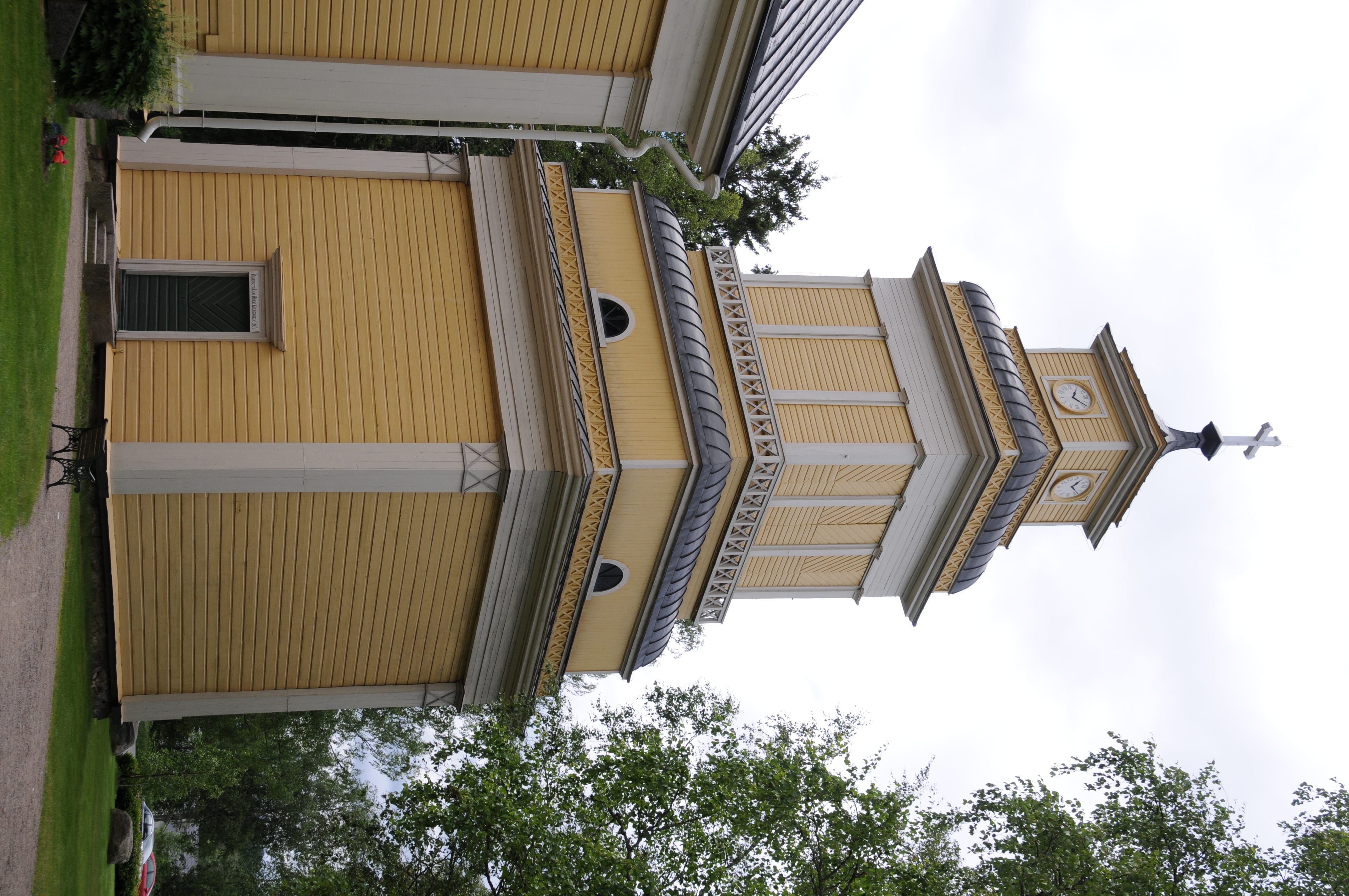
Karstulan kirkon kellotapuli

Karstulan tsasouna
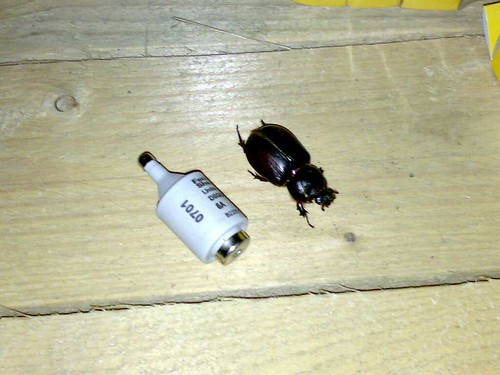
Ötökkä
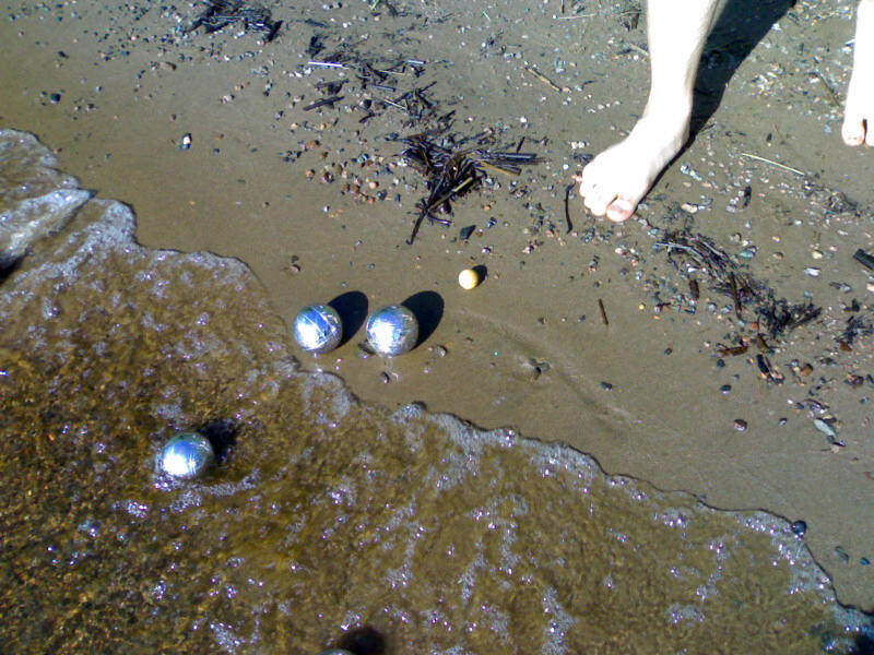
Battle petanque in Karstula
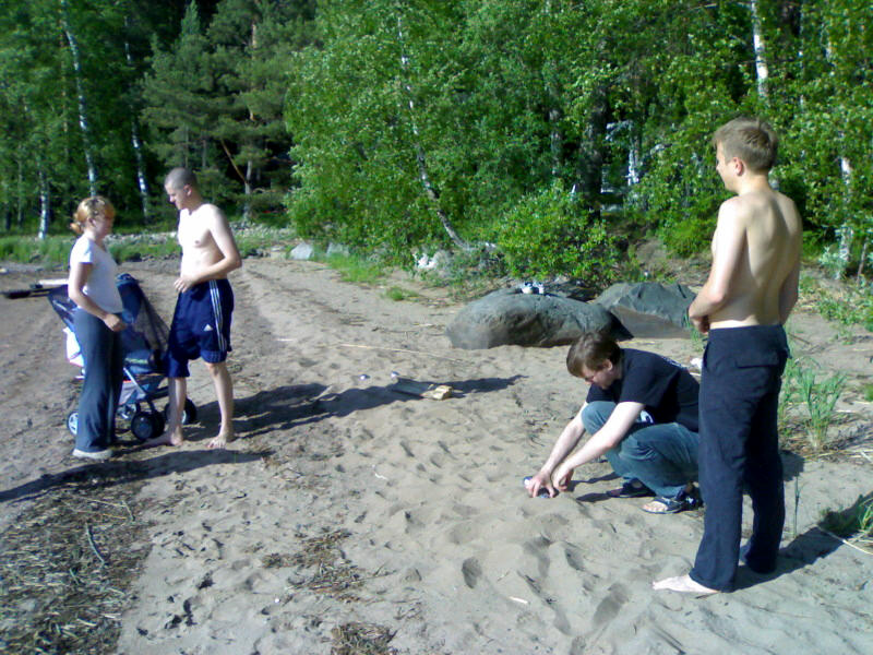
Battle petanque in Karstula
Topographic Map of Karstula, Finland
Find elevation by address:

Places in Karstula, Finland:
Places near Karstula, Finland:
Karstula
Myllymäentie, Saarijärvi, Finland
Kyyjärvi
Mäntyniementie 46, Kyyjärvi, Finland
Lehtolantie, Saarijärvi, Finland
Taipaleentie, Perho, Finland
Saarijärvi
Vehkaperäntie, Kyyjärvi, Finland
Leppälänkyläntie 5, Kannonkoski, Finland
Saarijärvi
Hämeenniementie 8, Saarijärvi, Finland
Kannonkoski
Kunniavuorentie 4, Saarijärvi, Finland
Perho
Soini
Karstulantie 3, Soini, Finland
Möksyntie, Soini, Finland
Keuruu
Peltokankaantie 2, Perho, Finland
Valkeajärvenraitti 7, Keuruu, Finland
Recent Searches:
- Elevation of Gateway Blvd SE, Canton, OH, USA
- Elevation of East W.T. Harris Boulevard, E W.T. Harris Blvd, Charlotte, NC, USA
- Elevation of West Sugar Creek, Charlotte, NC, USA
- Elevation of Wayland, NY, USA
- Elevation of Steadfast Ct, Daphne, AL, USA
- Elevation of Lagasgasan, X+CQH, Tiaong, Quezon, Philippines
- Elevation of Rojo Ct, Atascadero, CA, USA
- Elevation of Flagstaff Drive, Flagstaff Dr, North Carolina, USA
- Elevation of Avery Ln, Lakeland, FL, USA
- Elevation of Woolwine, VA, USA