Elevation of Karo Regency, North Sumatra, Indonesia
Location: Indonesia > North Sumatra >
Longitude: 98.265058
Latitude: 3.1052909
Elevation: 591m / 1939feet
Barometric Pressure: 94KPa
Elevation Map:
Satellite Map:
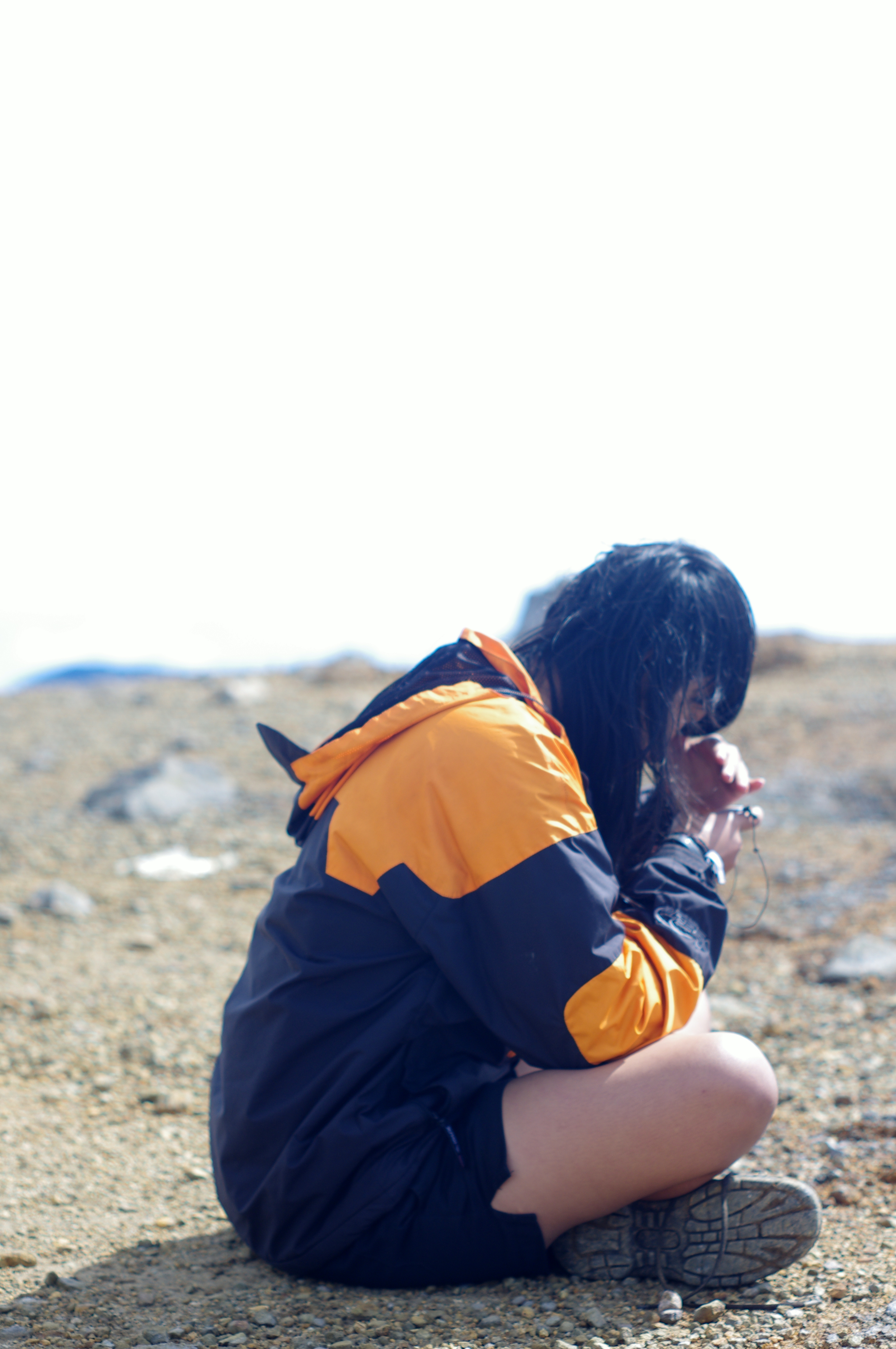
Related Photos:
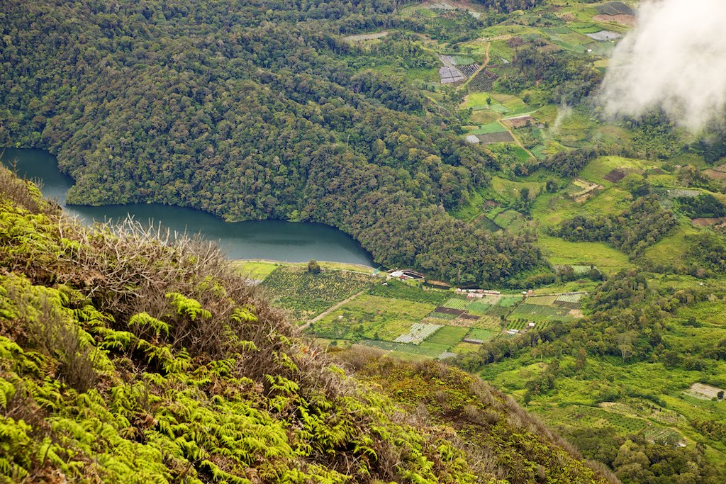
Lau Kawar
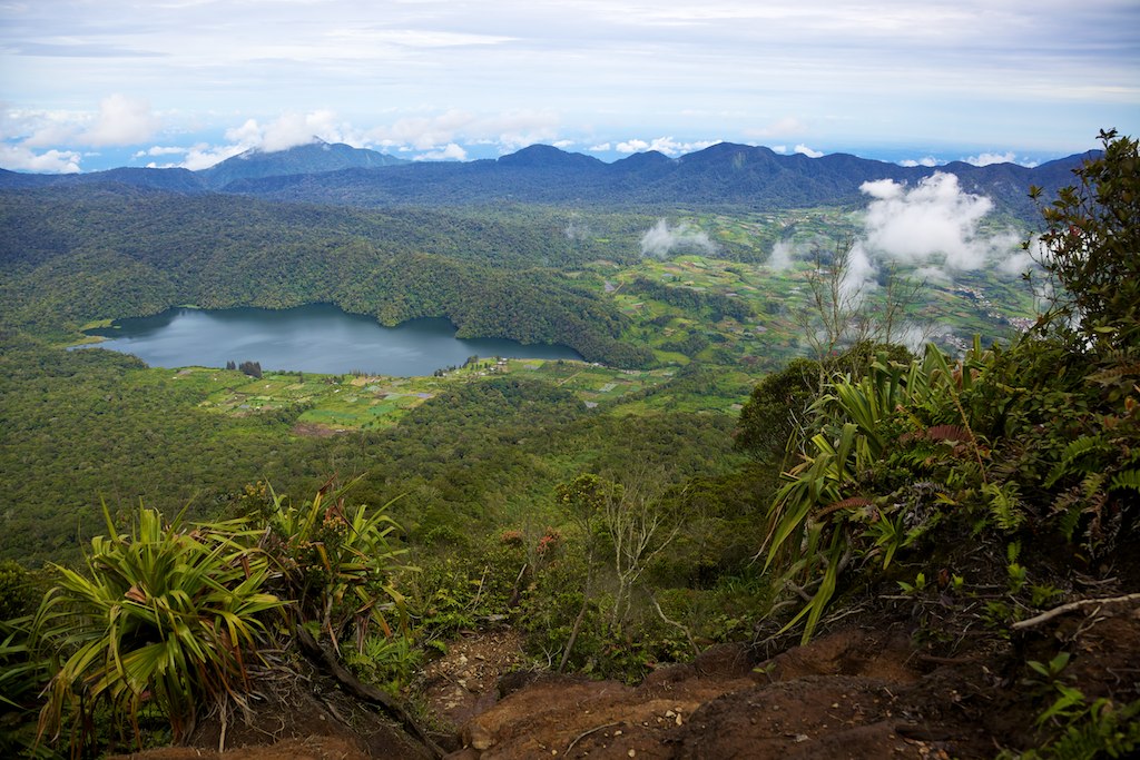
Lau Kawar
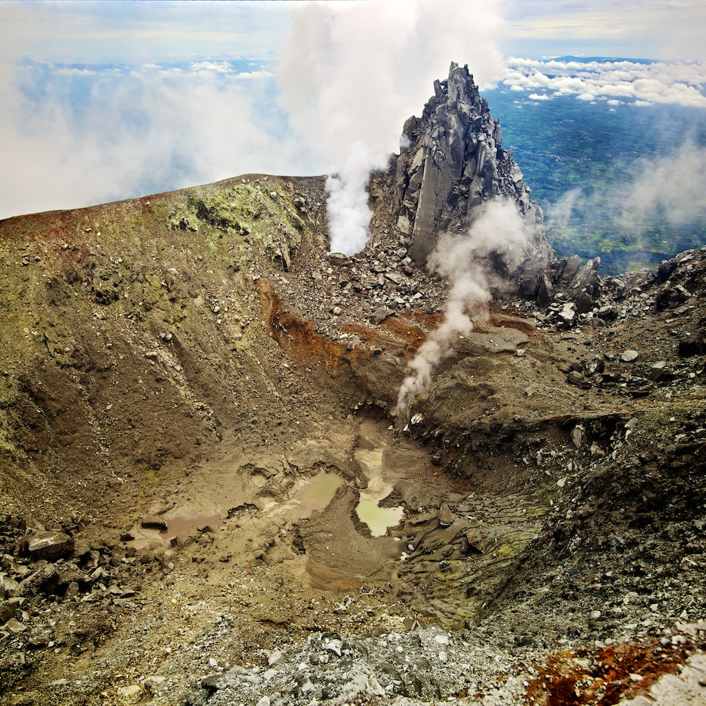
Sinabungs new crater, from september 2010 when it suddenly woke up after 400 years of sleep

Sorting coffee
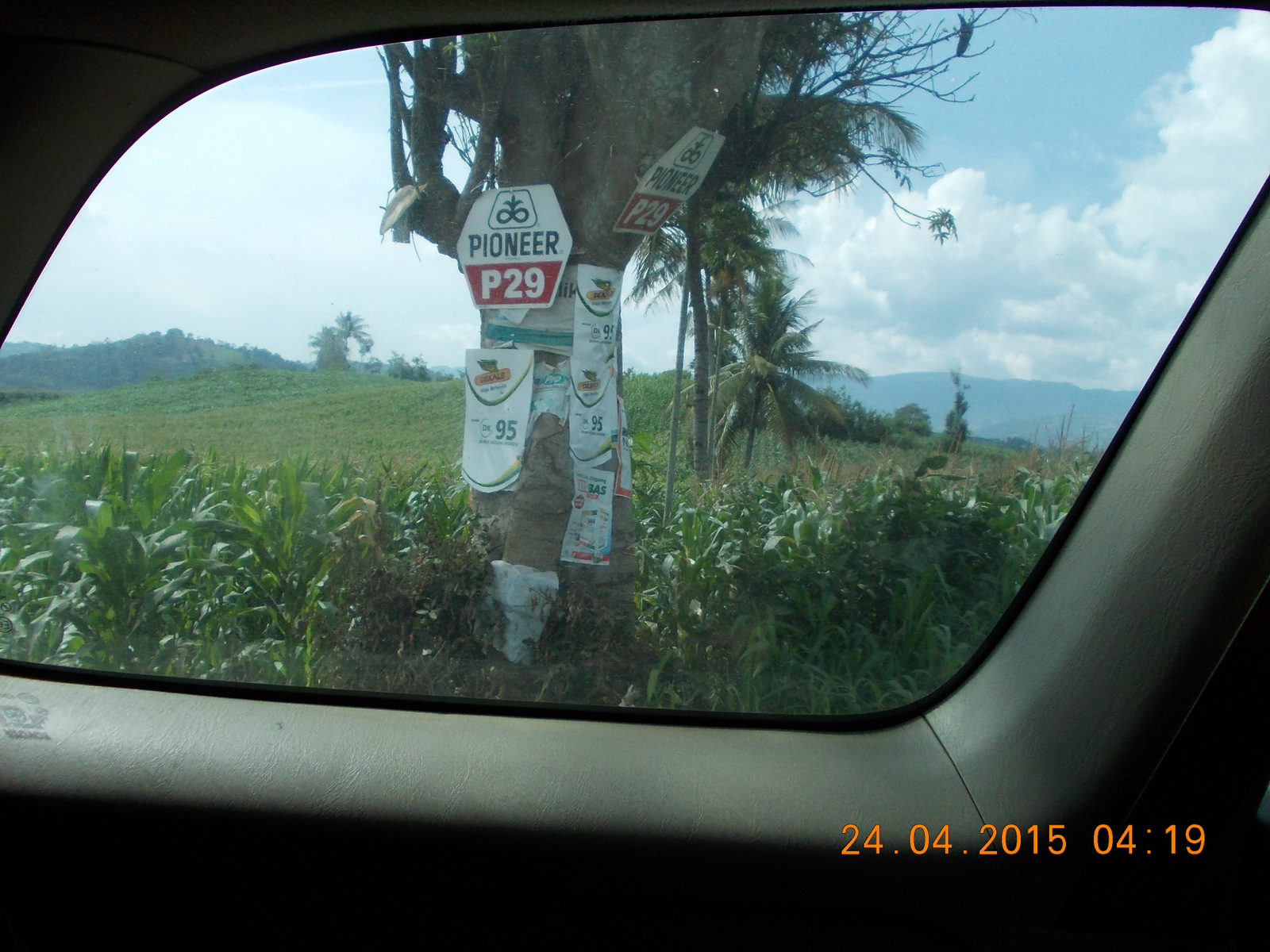
Day 6, in transit: Big Ag, alive and well
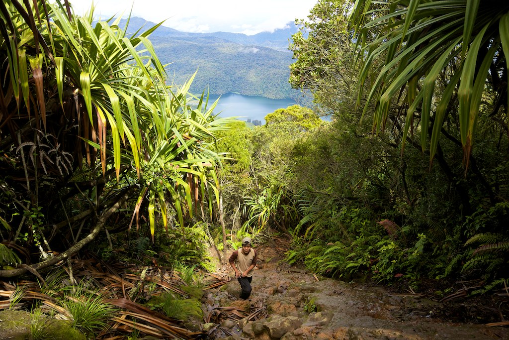
Climbing Sinabung
nyabu ya kak?
Topographic Map of Karo Regency, North Sumatra, Indonesia
Find elevation by address:

Places in Karo Regency, North Sumatra, Indonesia:
Berastagi
Kabanjahe
Lau Baleng
Lau Peradep
Kinangkong
Martelu
Kuta Pengkih
Mbal-mbal Petarum
Naman Teran
Tiga Binanga
Places near Karo Regency, North Sumatra, Indonesia:
Tiga Binanga
Lau Peradep
Mount Sinabung
Lau Baleng
Kinangkong
Martelu
Kuta Gugung
Kuta Pengkih
Naman Teran
Pemandian Alam Lau Timah
Renun
Tanah Pinem
Sd Inpres Lau Njuhar I
Dairi Regency
Mbal-mbal Petarum
Lau Njuhar
Bohorok
Bukit Lawang
Kutacane
Kutacane City
Recent Searches:
- Elevation of Kreuzburger Weg 13, Düsseldorf, Germany
- Elevation of Gateway Blvd SE, Canton, OH, USA
- Elevation of East W.T. Harris Boulevard, E W.T. Harris Blvd, Charlotte, NC, USA
- Elevation of West Sugar Creek, Charlotte, NC, USA
- Elevation of Wayland, NY, USA
- Elevation of Steadfast Ct, Daphne, AL, USA
- Elevation of Lagasgasan, X+CQH, Tiaong, Quezon, Philippines
- Elevation of Rojo Ct, Atascadero, CA, USA
- Elevation of Flagstaff Drive, Flagstaff Dr, North Carolina, USA
- Elevation of Avery Ln, Lakeland, FL, USA