Elevation of Kantlaxvägen, Nykarleby, Finland
Location: Finland > Nykarleby >
Longitude: 22.2977745
Latitude: 63.414095
Elevation: 4m / 13feet
Barometric Pressure: 101KPa
Elevation Map:
Satellite Map:
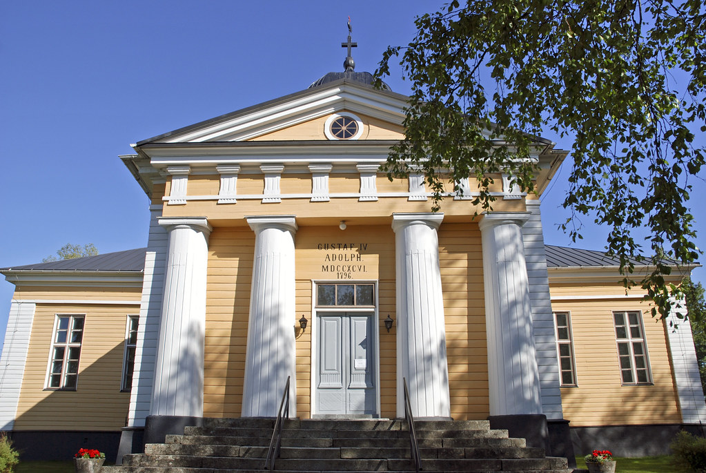
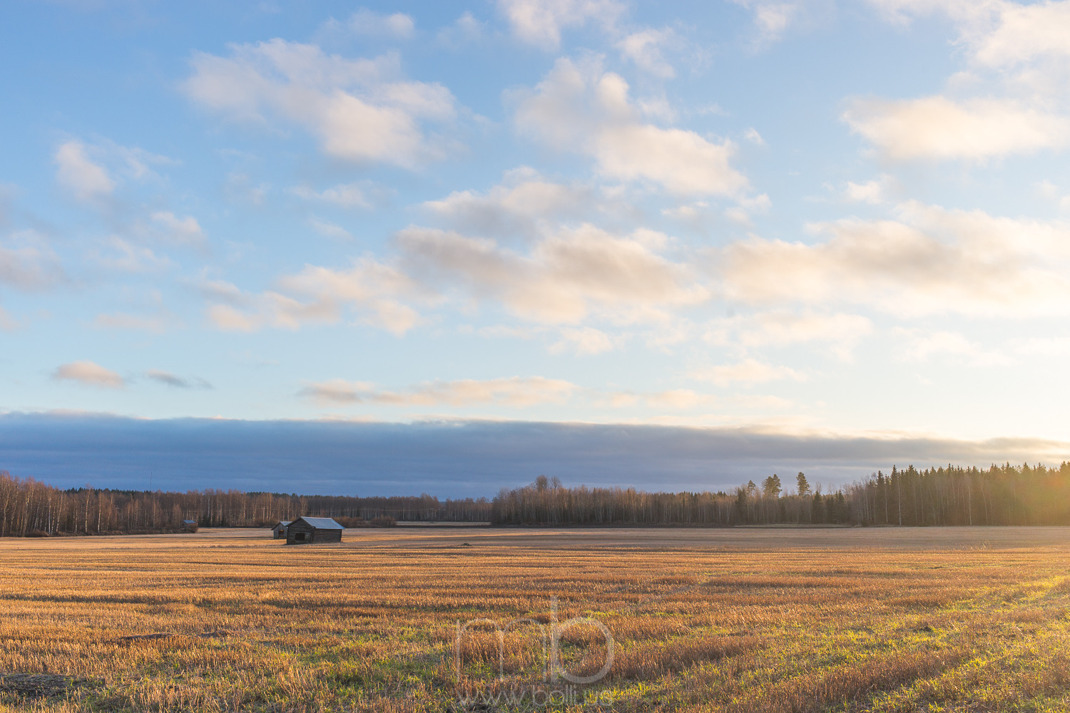
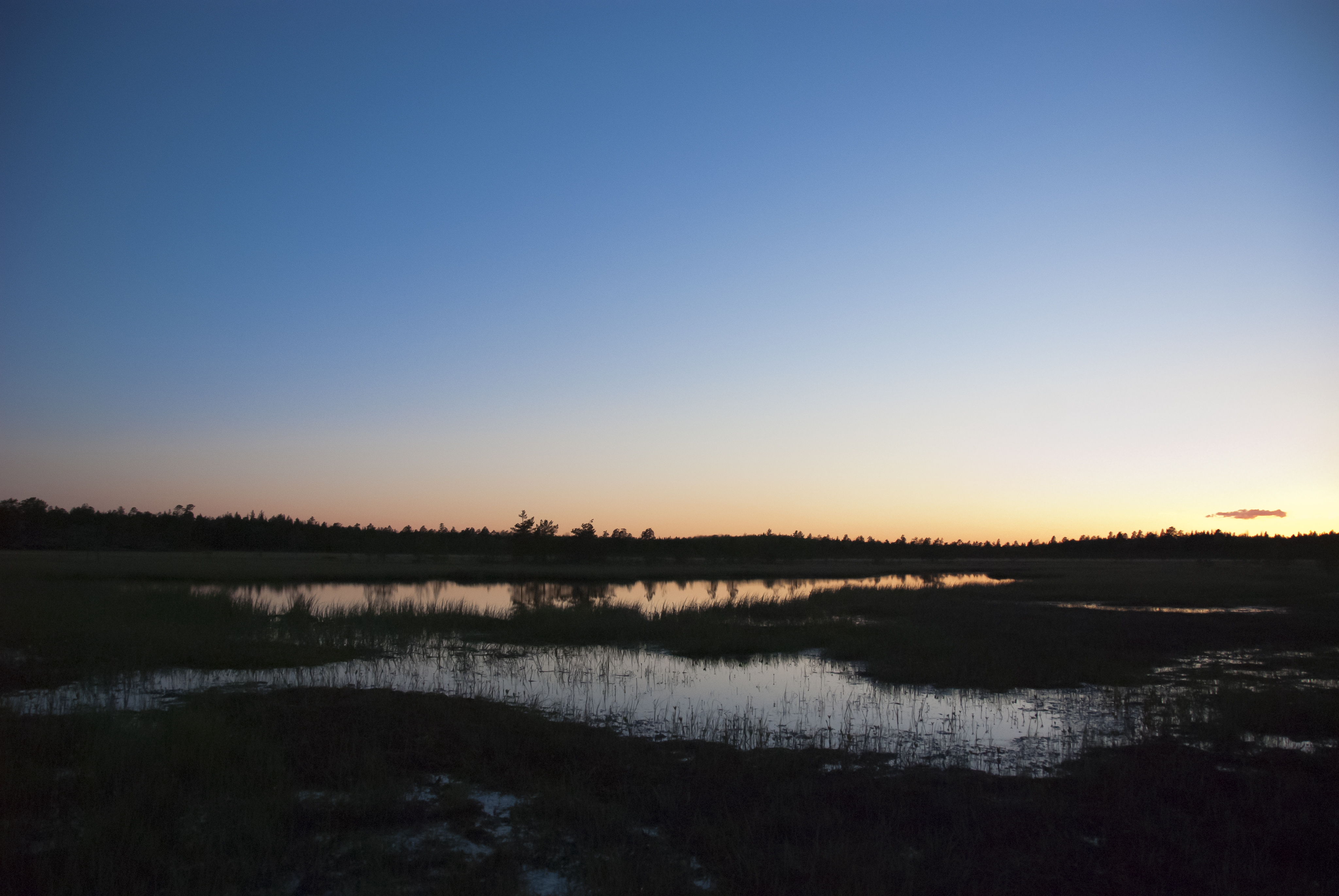
Related Photos:
20141209-121227

In a #train in #Pohjanmaa I see #wintersun
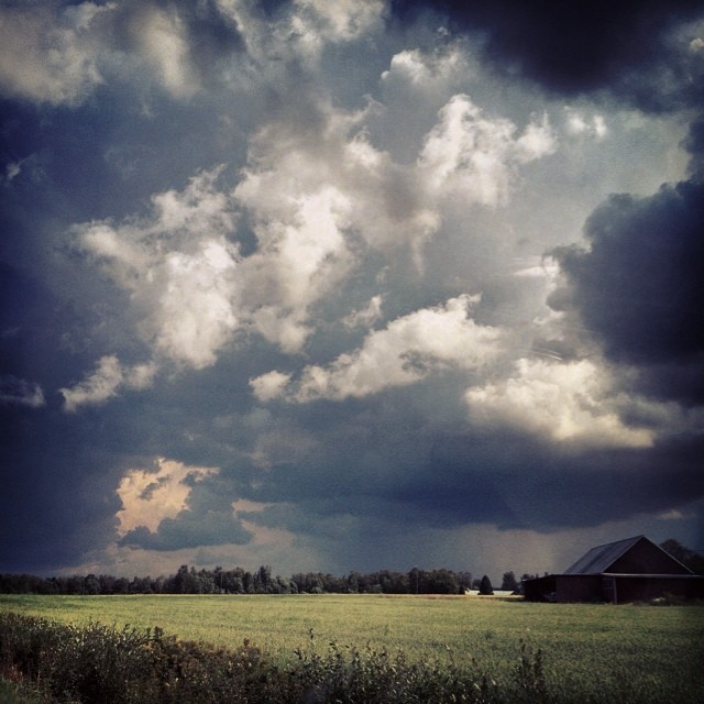
Oväder över Österbotten.

Keppo fors.
hästmossen

20141209-141412
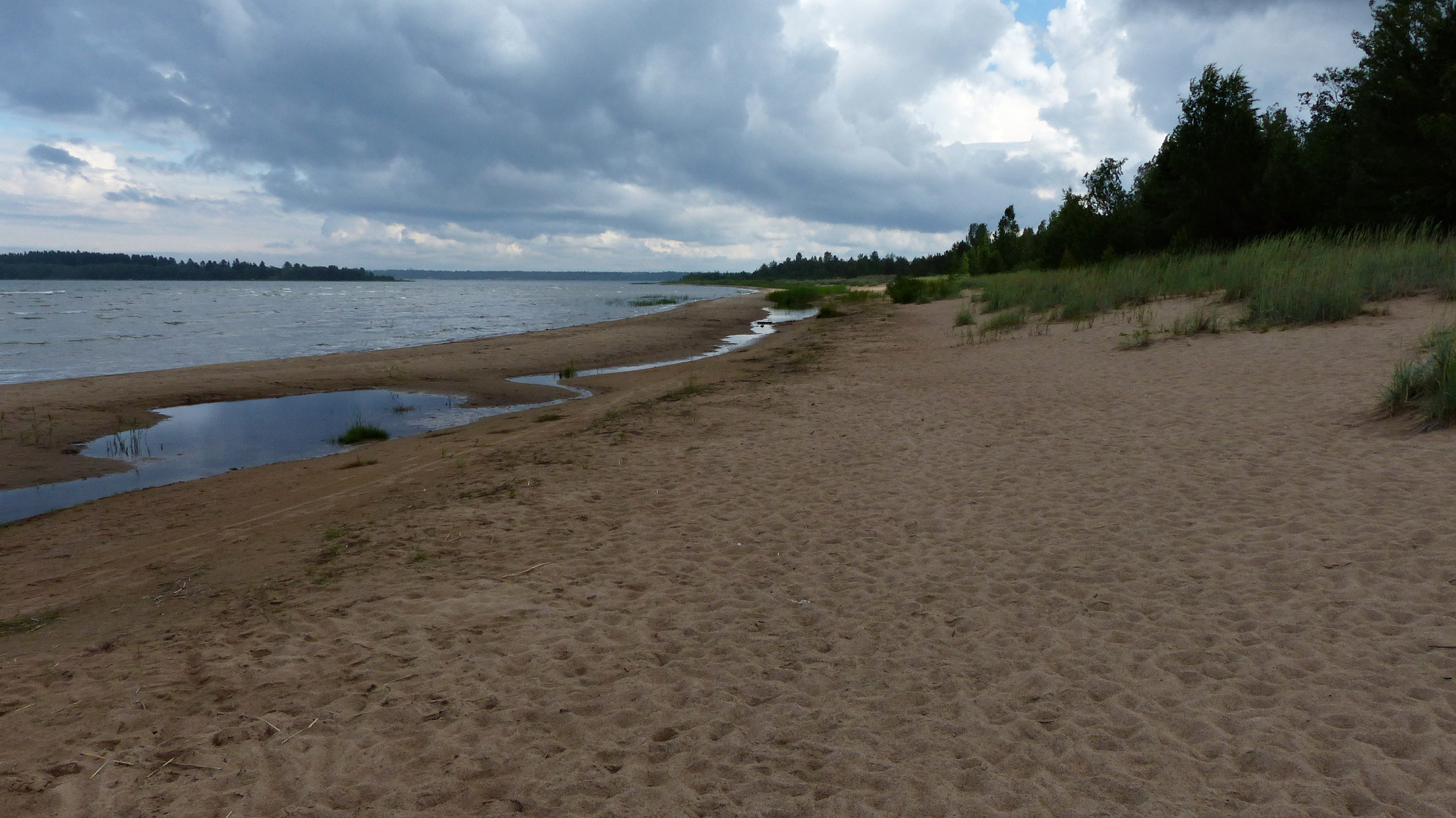
Storsanden beach (Uusikaarlepyy, 20150710)
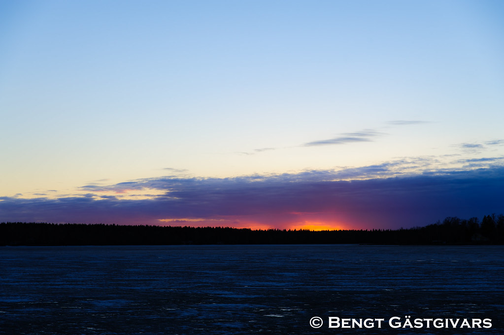
Sunset i april
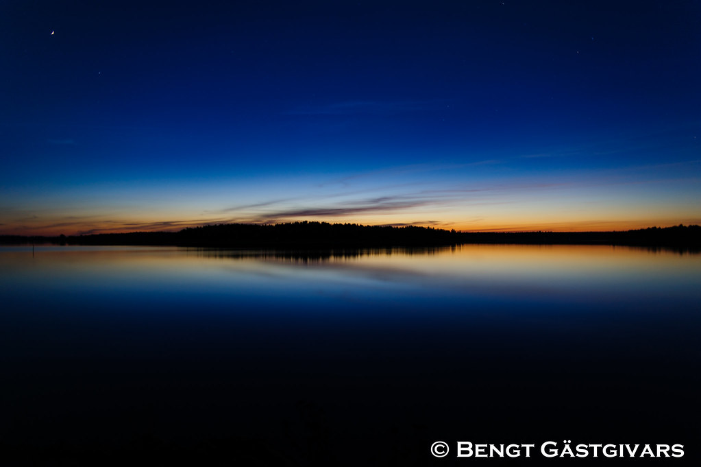
The last light for the day
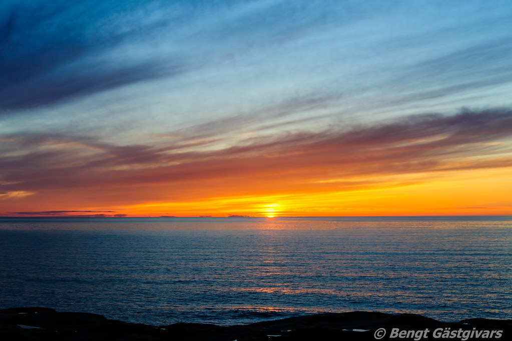
Tisskärssand HDR
Topographic Map of Kantlaxvägen, Nykarleby, Finland
Find elevation by address:

Places near Kantlaxvägen, Nykarleby, Finland:
Recent Searches:
- Elevation of Woodland Oak Pl, Thousand Oaks, CA, USA
- Elevation of Brownsdale Rd, Renfrew, PA, USA
- Elevation of Corcoran Ln, Suffolk, VA, USA
- Elevation of Mamala II, Sariaya, Quezon, Philippines
- Elevation of Sarangdanda, Nepal
- Elevation of 7 Waterfall Way, Tomball, TX, USA
- Elevation of SW 57th Ave, Portland, OR, USA
- Elevation of Crocker Dr, Vacaville, CA, USA
- Elevation of Pu Ngaol Community Meeting Hall, HWHM+3X7, Krong Saen Monourom, Cambodia
- Elevation of Royal Ontario Museum, Queens Park, Toronto, ON M5S 2C6, Canada