Elevation of Kanthewadi, Maharashtra, India
Location: India > Maharashtra > Kolhapur >
Longitude: 74.0329499
Latitude: 16.4692921
Elevation: 561m / 1841feet
Barometric Pressure: 95KPa
Elevation Map:
Satellite Map:
Related Photos:

5170

5171

5131

5143

5146

5132

Lecture on National Science Day at Bidri, kagal, Kolhapur for Sr. & Jr college student & teachers. All Lectures since 26-02-2016 are organised by Marathi Vidnyan Parishad, Gadhinglaj
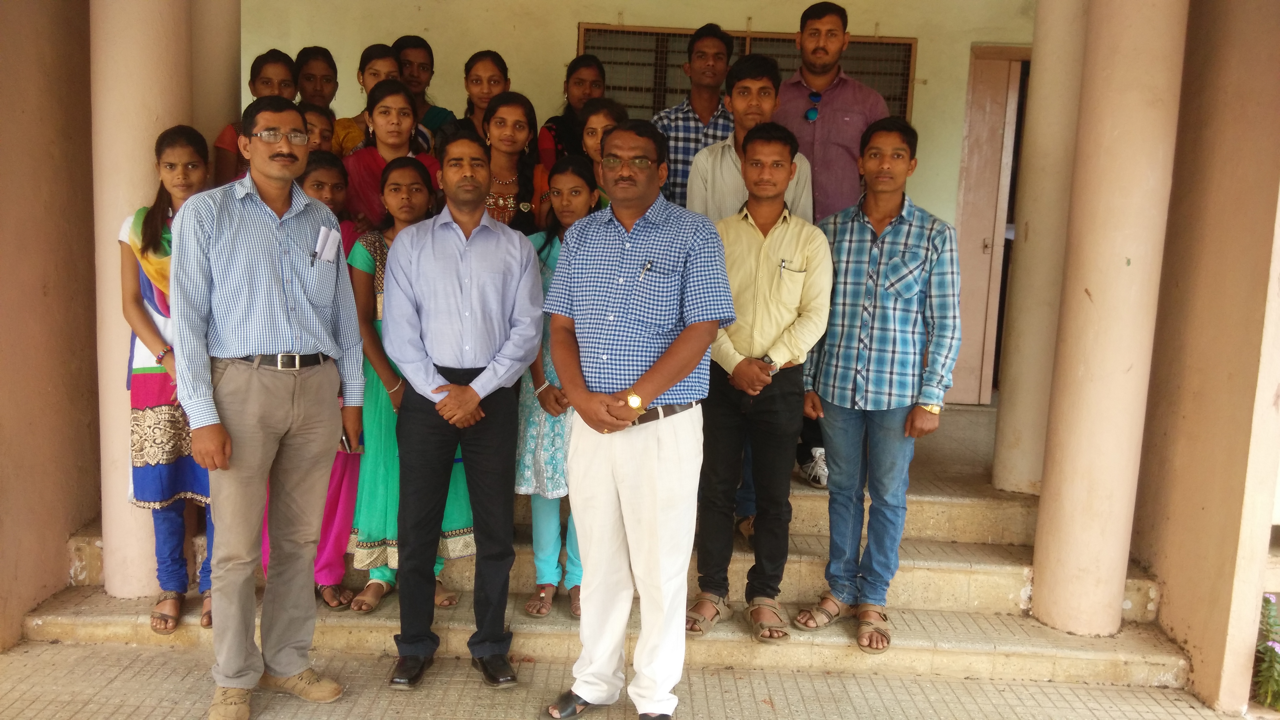
Lecture on National Science Day at Bidri, kagal, Kolhapur for Sr. & Jr college student & teachers. All Lectures since 26-02-2016 are organised by Marathi Vidnyan Parishad, Gadhinglaj

Lecture on National Science Day at Bidri, kagal, Kolhapur for Sr. & Jr college student & teachers. All Lectures since 26-02-2016 are organised by Marathi Vidnyan Parishad, Gadhinglaj
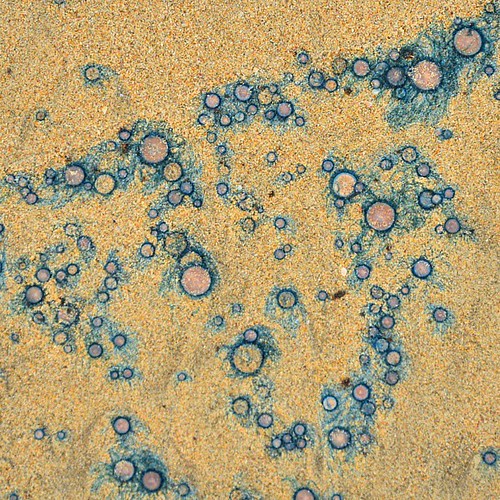
Pattern on a seashore #aquaticlife#corels#unknown#id#seashore#malwan#maharashtra#aquaticplants#patterns#naturalbeauty#nikon#d7000#16-85#eveningwalk#familytrip#beautiful#neverseenitbefore#bluewater#blueshades#sand

_MG_0492 2
Topographic Map of Kanthewadi, Maharashtra, India
Find elevation by address:

Places near Kanthewadi, Maharashtra, India:
Kalankwadi
भाऊरावपाटील हायस्कूल आवली खुर्द
Kambalwadi
Grampanchayat, Tarale Khurd
Tarale Kh.
Gudalwadi
Gudal
Anaje
Kasaba Tarale
Khindi Varavade
Kumbharwadi
Shirgaon
Kudutri
Shirase
Savardhan
Mogharde
Talgaon
Solankur
Baradwadi
Bargewadi
Recent Searches:
- Elevation of 6 Rue Jules Ferry, Beausoleil, France
- Elevation of Sattva Horizon, 4JC6+G9P, Vinayak Nagar, Kattigenahalli, Bengaluru, Karnataka, India
- Elevation of Great Brook Sports, Gold Star Hwy, Groton, CT, USA
- Elevation of 10 Mountain Laurels Dr, Nashua, NH, USA
- Elevation of 16 Gilboa Ln, Nashua, NH, USA
- Elevation of Laurel Rd, Townsend, TN, USA
- Elevation of 3 Nestling Wood Dr, Long Valley, NJ, USA
- Elevation of Ilungu, Tanzania
- Elevation of Yellow Springs Road, Yellow Springs Rd, Chester Springs, PA, USA
- Elevation of Rēzekne Municipality, Latvia