Elevation map of Kanpur Dehat, Uttar Pradesh, India
Location: India > Uttar Pradesh >
Longitude: 79.8296743
Latitude: 26.526707
Elevation: 138m / 453feet
Barometric Pressure: 100KPa
Elevation Map:
Satellite Map:
Related Photos:

Besökare Samtidigt
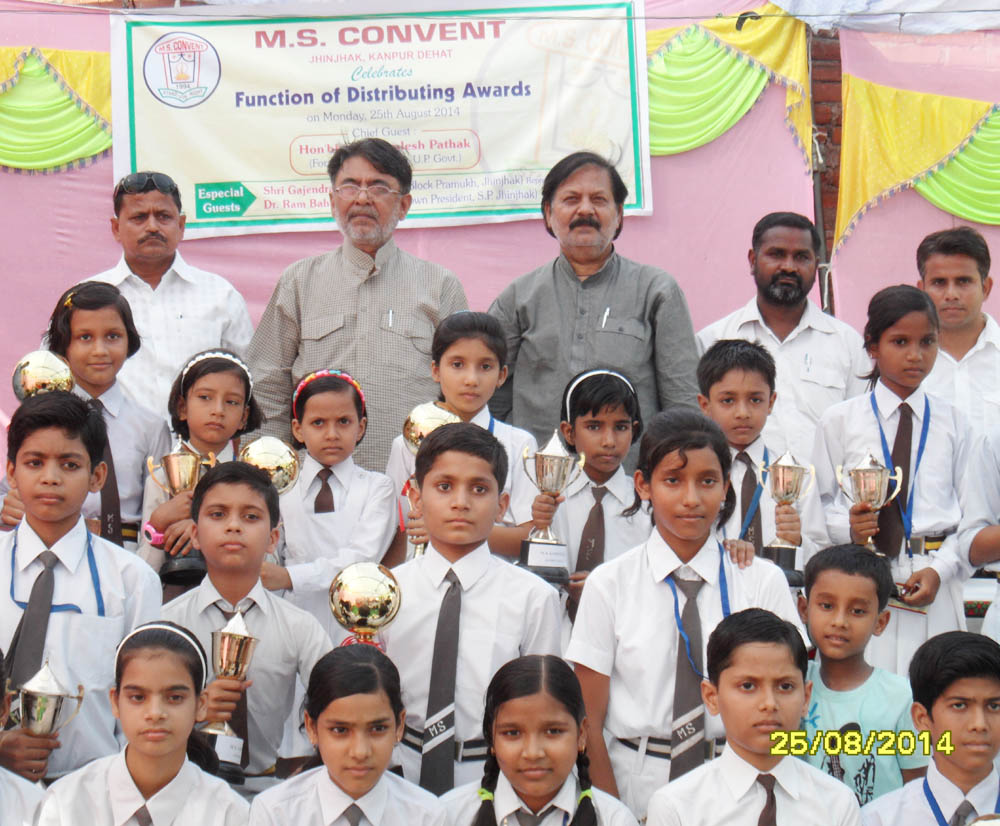
former minister Dr. KAMLESH PATHAK DISTRIBUTING AWARDS TO CHILDREN IN M.S. CONVENT SCHOOL AT JHINJHAK TOWN IN DISTRICT KANPUR DEHAT STATE U.P. INDIA .

ILLEGAL ENCROACHMENT hotel at jhinjhak town made by a so called journalist of AAJ PRESS NAME SHIV MOHAN SINGH SENGAR ALIAS LALA

illegal encroachment on the nahiliy bamba roaad at cannal bridge in jhinjhak town area

illigal encroachment in front of freedom fighters monument at junior high school in ward no. 3
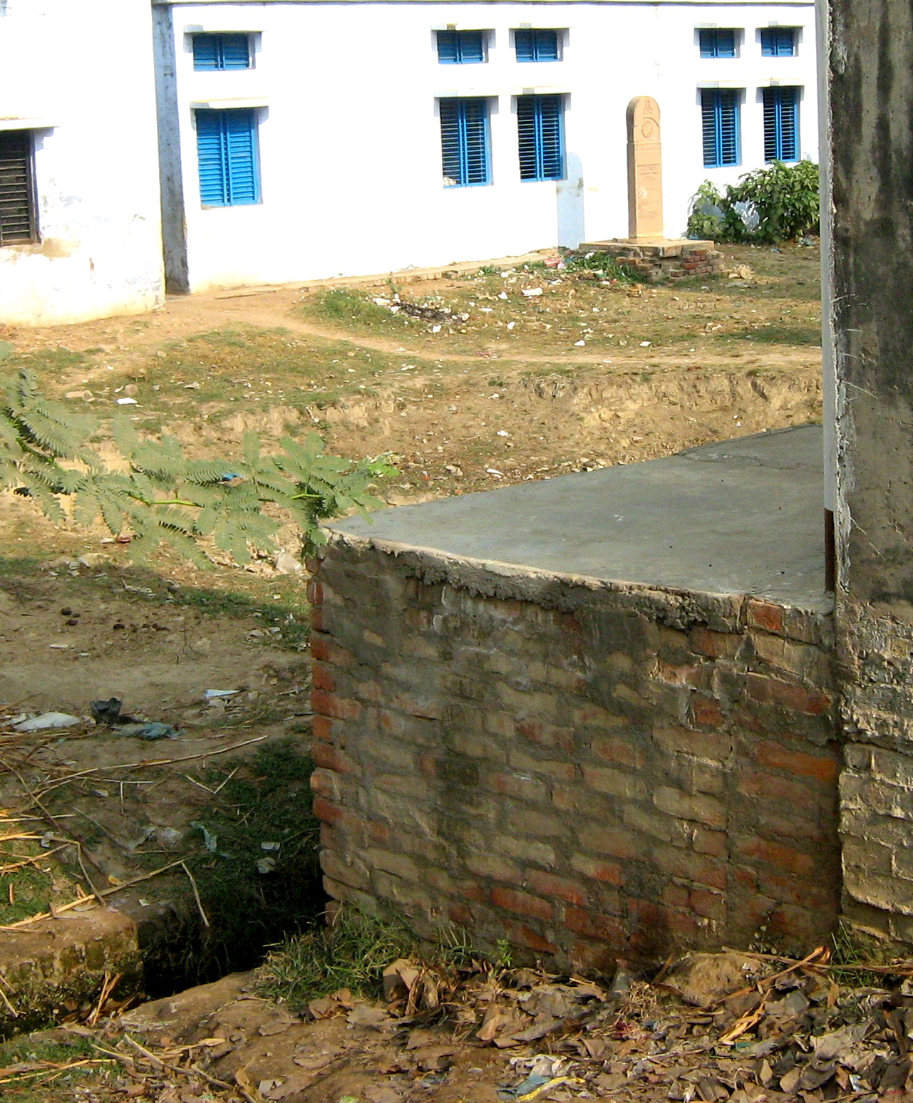
illigal encroachment in front of freedom fighters monument

PHOTO 4. illigal encroachment on cannal bridge at jhinjhak
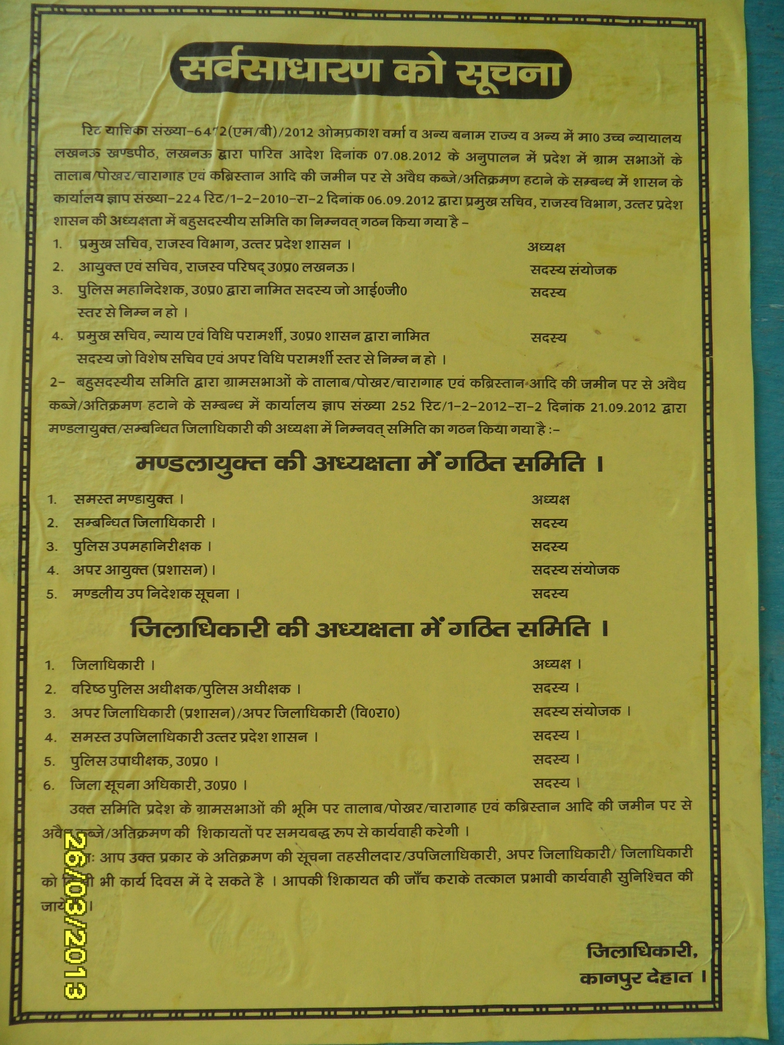
poster pasted at jhinjhak town by administration of district kanpur dehat.poster pastrd by nagar panchayt jhinjhak workers

PHOTO 7. illigal encroachment on p.w.d land & on cannnal land

PHOTO 3. illigal encroachment on cannnal land at jhinjhak behind jhinjhak rura road

electricity pole inside the shop a clear example of illigal encroachment at cannal bridge in jhinjhak town area

electricity pole inside of shop at jhinjhak cannal bridge,clear cut case of illegal encroachment
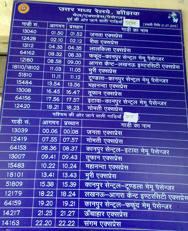
jhinjhak railway station train time chart
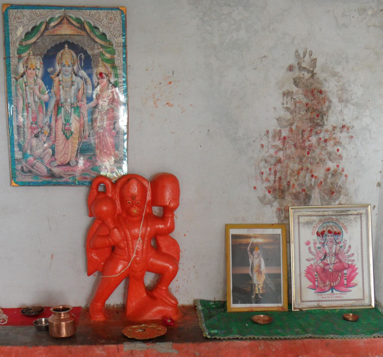
LORD HANUMAN JI AT KALLI TEMPLE AT GAUPUR VILLAGE

MAA KALLI IDOL AT KALLI TEMPLE AT GAUPUR VILLAGE
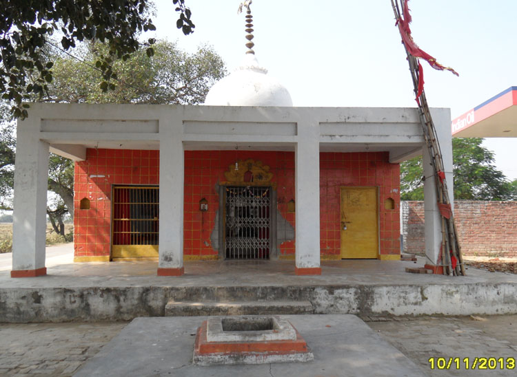
maa KALLI temple at gaupur village
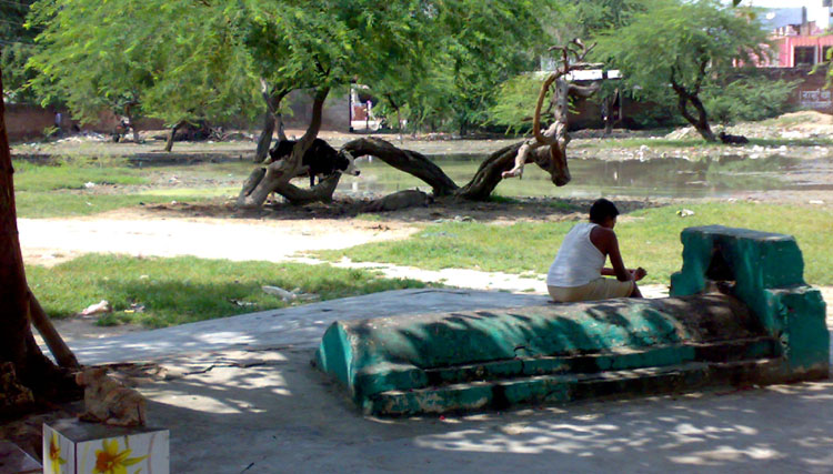
rain water behind this unique mosque and hanuman temple
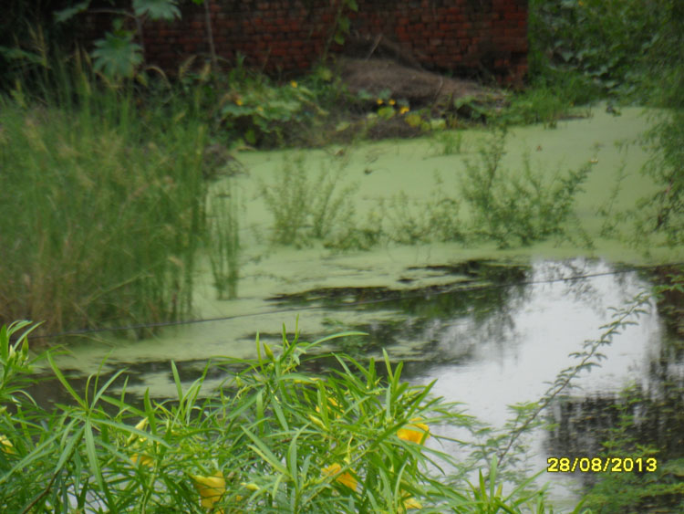
water and nature
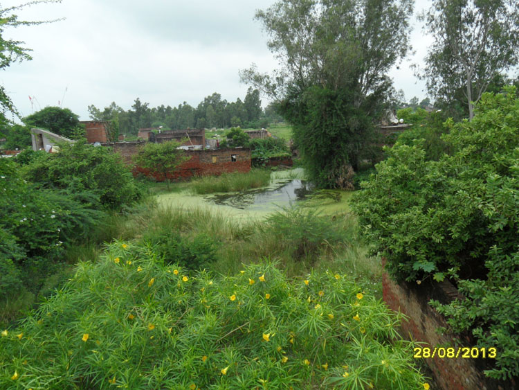
picture behind my house
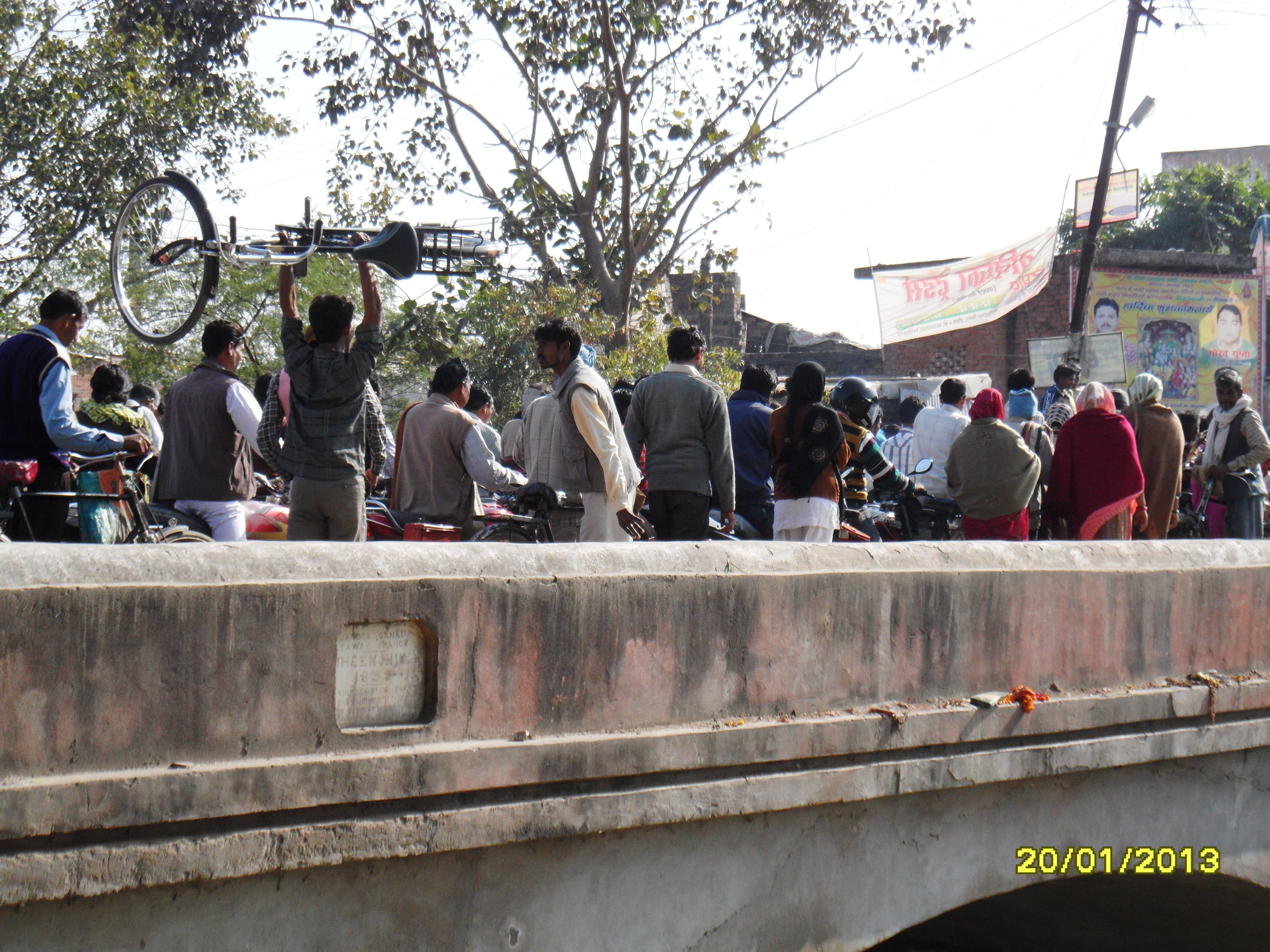
its too hard to move on feet over this bridge. if you have a cycle you have to carry it on yor shoulder to cross this 157 year old bridge
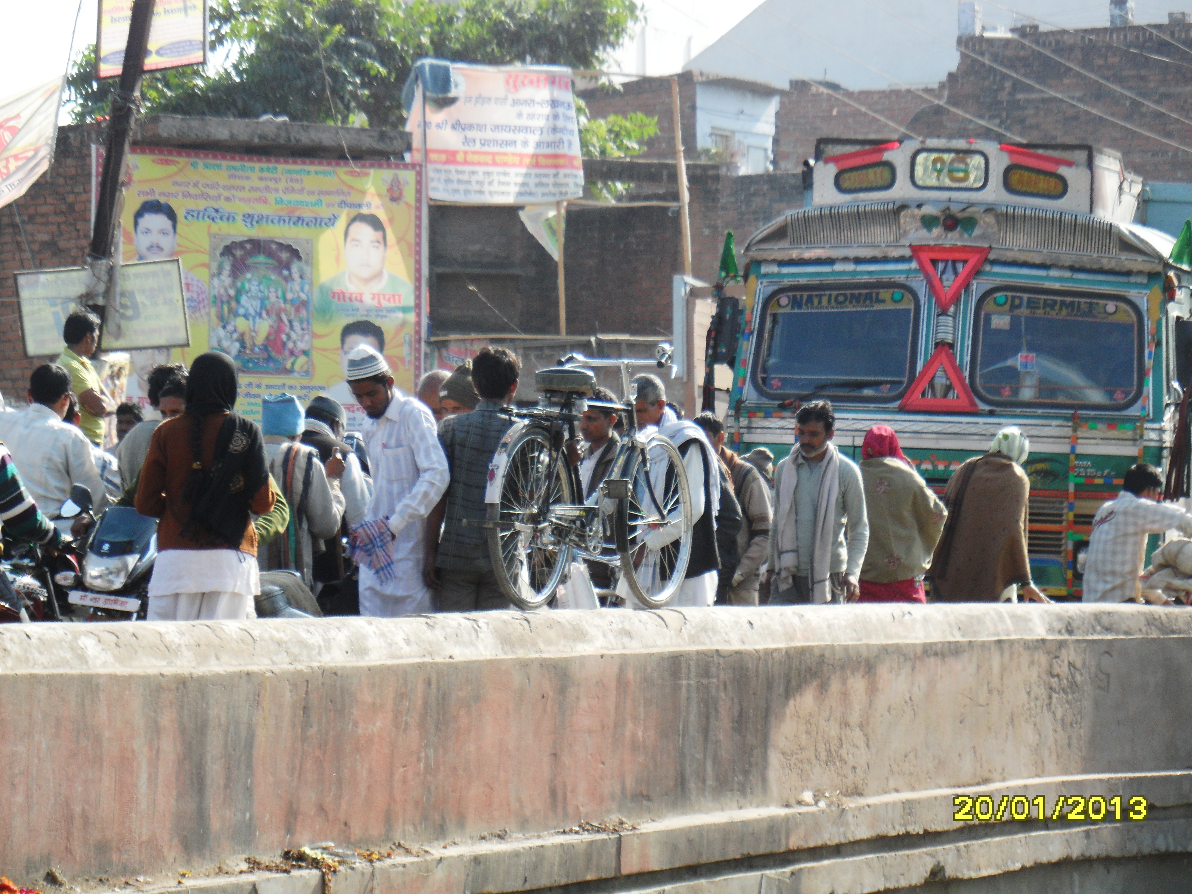
ram ganga cannal bridge of jhinjhak town area narrow & 157 years old bridge
Topographic Map of Kanpur Dehat, Uttar Pradesh, India
Find elevation by address:

Places in Kanpur Dehat, Uttar Pradesh, India:
Places near Kanpur Dehat, Uttar Pradesh, India:
Jhinjhak
Derapur
Rasulabad
Sandalpur
Akbarpur
Auraiya
Shivarajpur
Shivrajpur
Auraiya
Kalpi
Chaubepur
Jalaun
Orai
Hamirpur
Bhind
Moth
Jhansi
Recent Searches:
- Elevation of Rojo Ct, Atascadero, CA, USA
- Elevation of Flagstaff Drive, Flagstaff Dr, North Carolina, USA
- Elevation of Avery Ln, Lakeland, FL, USA
- Elevation of Woolwine, VA, USA
- Elevation of Lumagwas Diversified Farmers Multi-Purpose Cooperative, Lumagwas, Adtuyon, RV32+MH7, Pangantucan, Bukidnon, Philippines
- Elevation of Homestead Ridge, New Braunfels, TX, USA
- Elevation of Orchard Road, Orchard Rd, Marlborough, NY, USA
- Elevation of 12 Hutchinson Woods Dr, Fletcher, NC, USA
- Elevation of Holloway Ave, San Francisco, CA, USA
- Elevation of Norfolk, NY, USA