Elevation of Kanikeh, North Seram, Central Maluku Regency, Maluku, Indonesia
Location: Indonesia > Maluku > Central Maluku Regency > North Seram >
Longitude: 129.445028
Latitude: -3.1131541
Elevation: 1081m / 3547feet
Barometric Pressure: 89KPa
Elevation Map:
Satellite Map:
Related Photos:
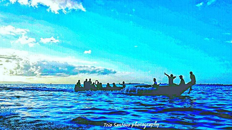
I am sailing. ..cross the sea to be free at Manusela National Park #adventure #boat #beautiful #blue #cloud #instabeach #instanusantara #landscape #nationalparks #nature #naturelover #sailing #nikonindonesia #nikon #photooftheday #water #sea

Low meat diet

Fetching water
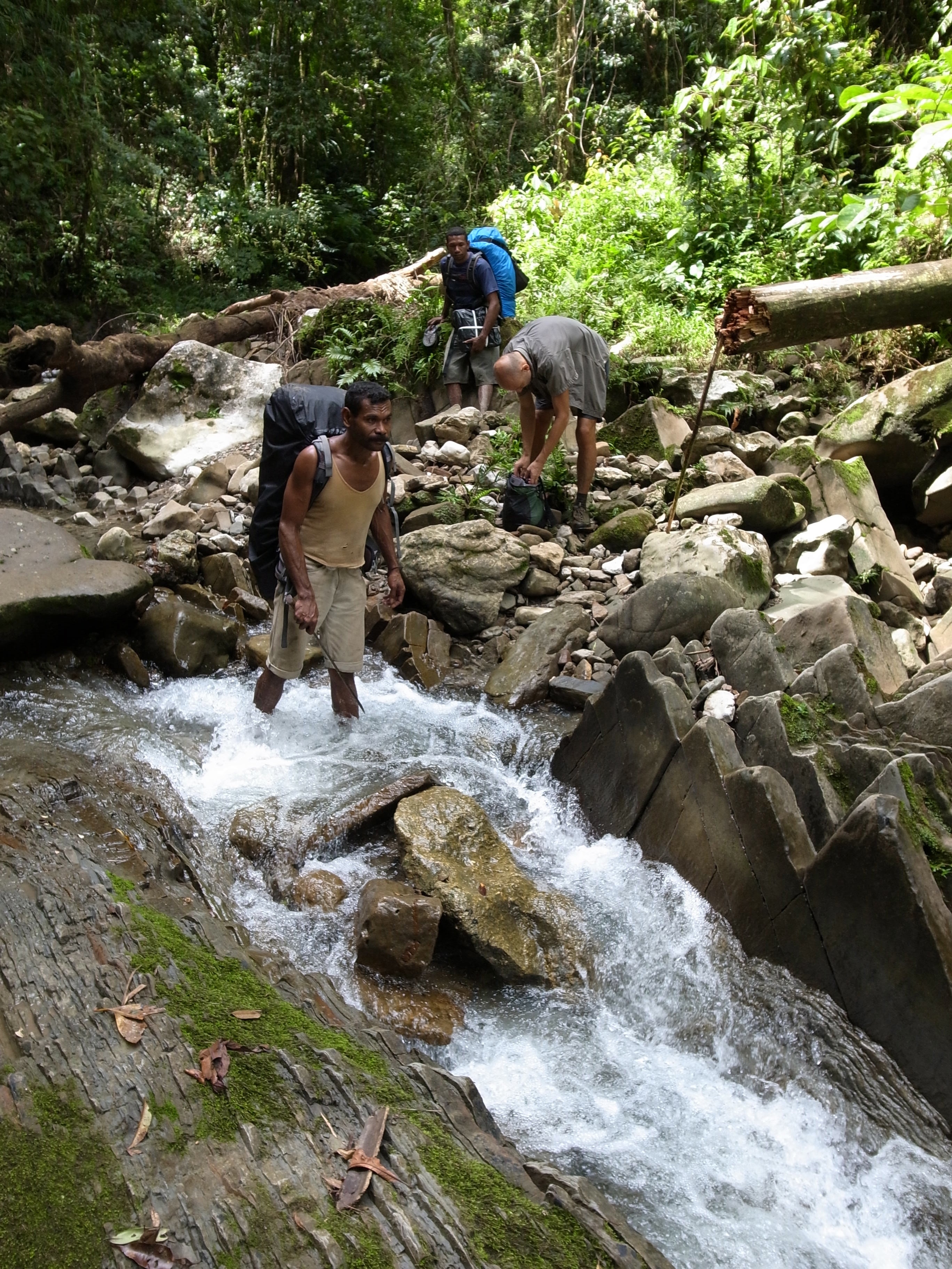
Some of our packs got too heavy
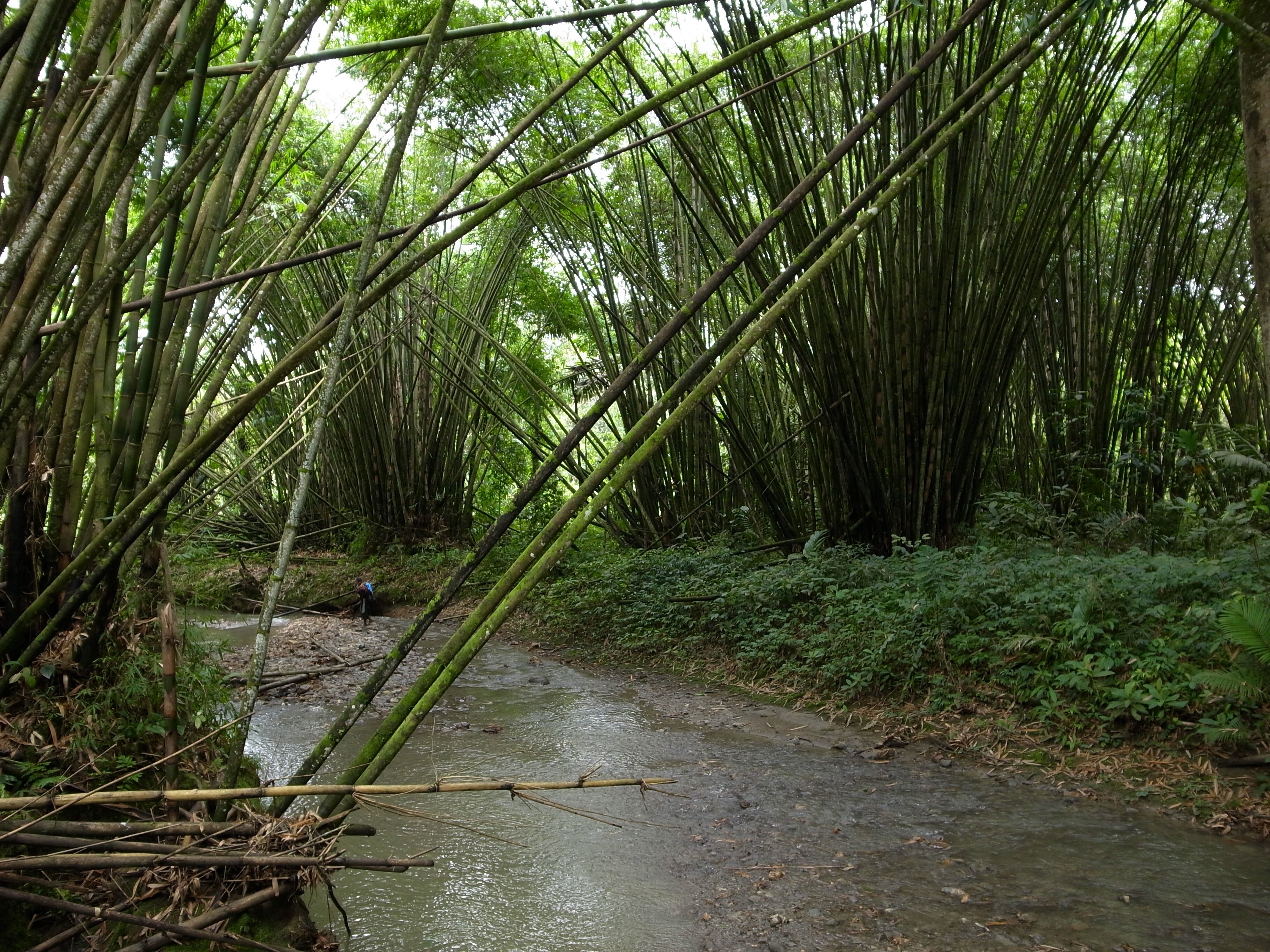
Bamboo forest
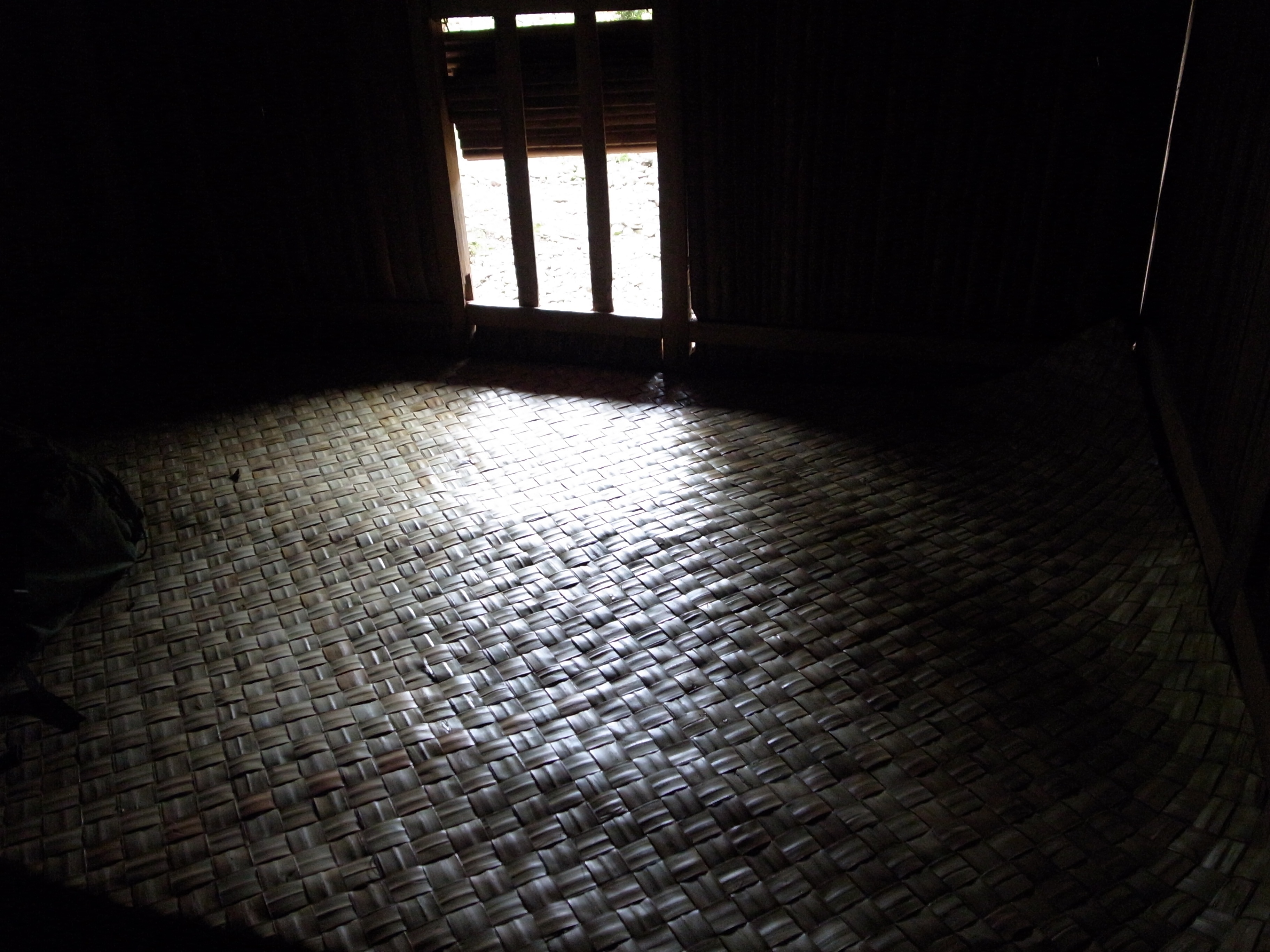
Our bed

More Jackfruit
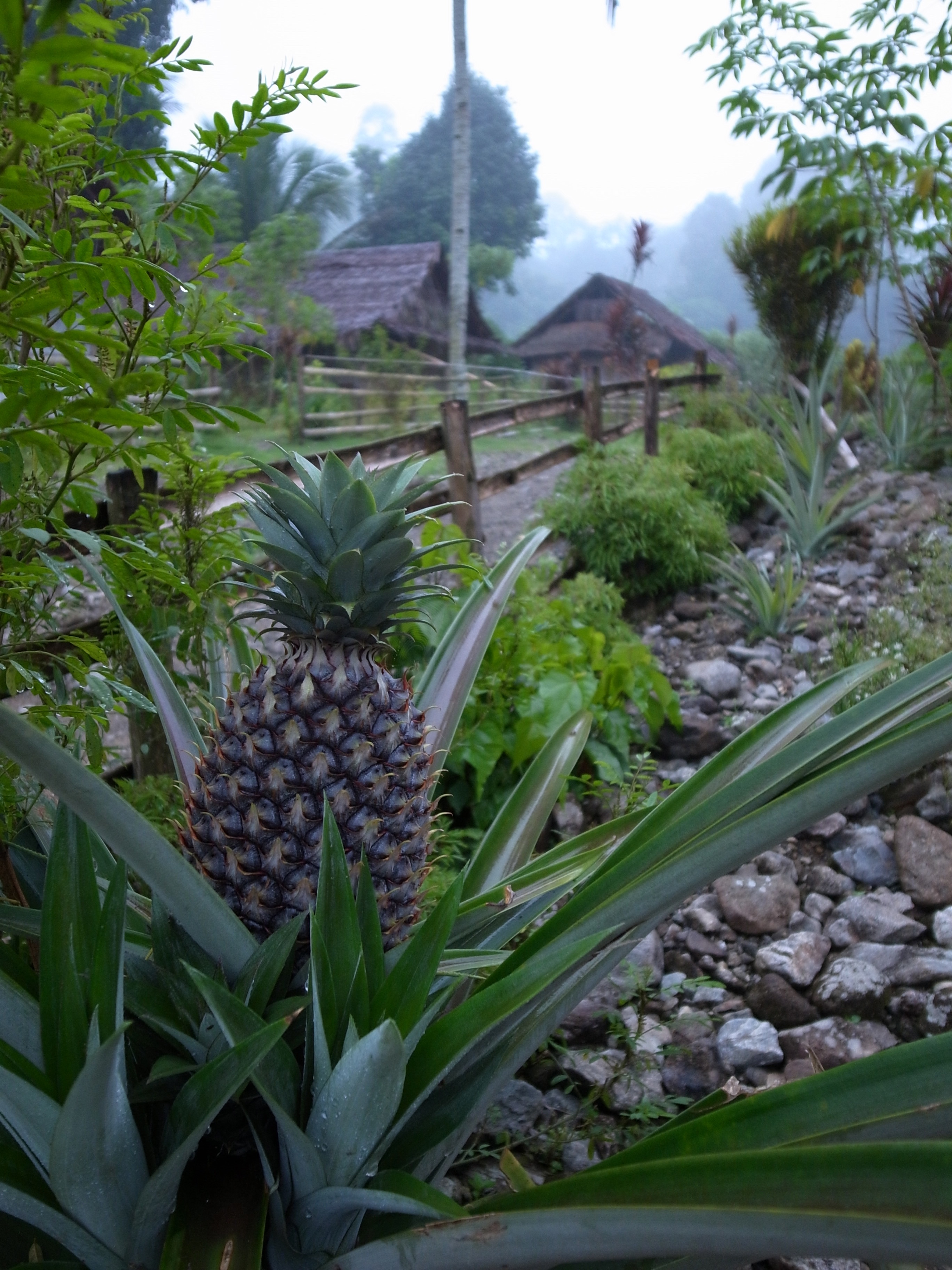
The garden pineapple

A willing photo subject
Beautiful village

The village of Salomena
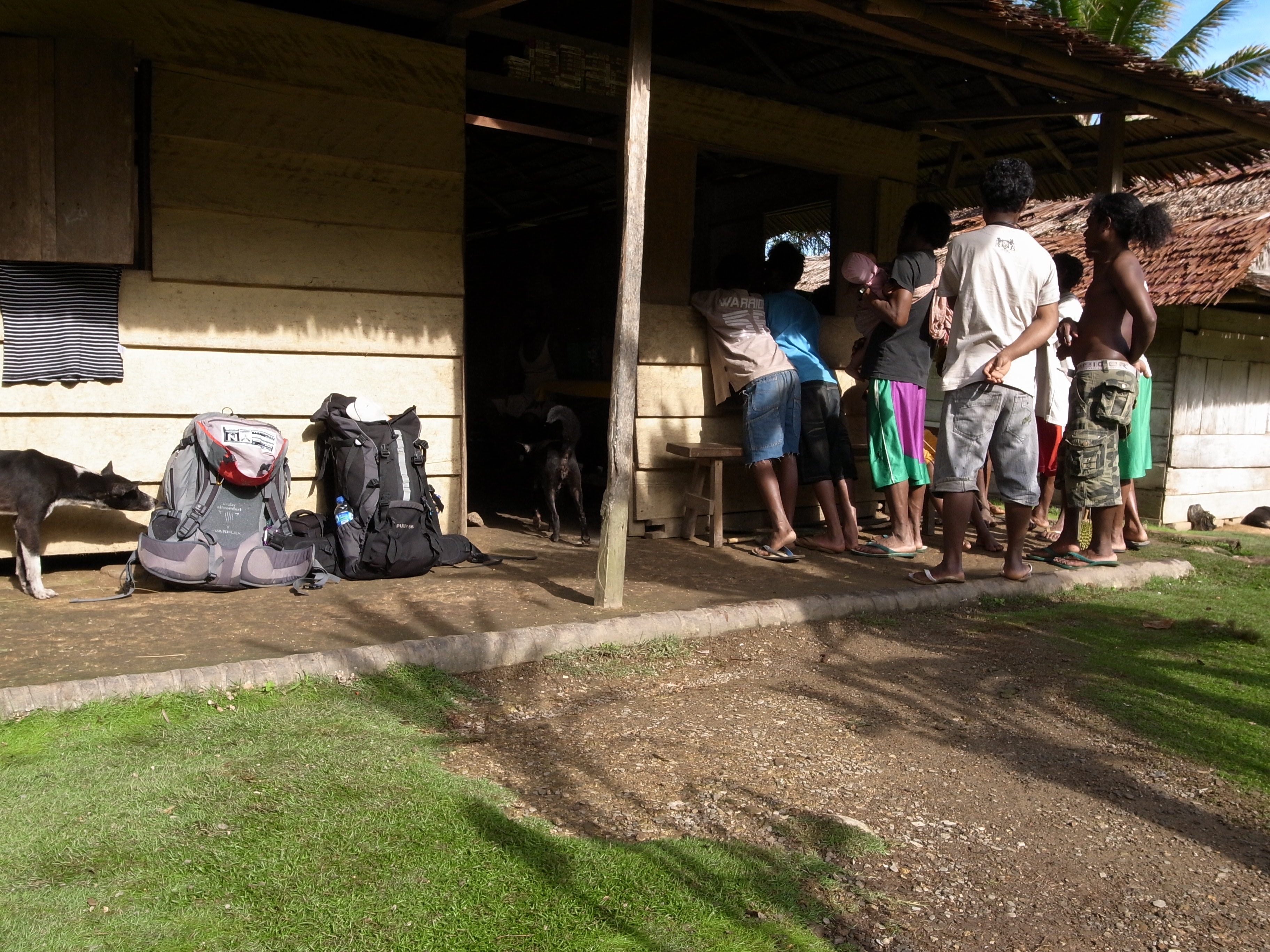
People watching at the window
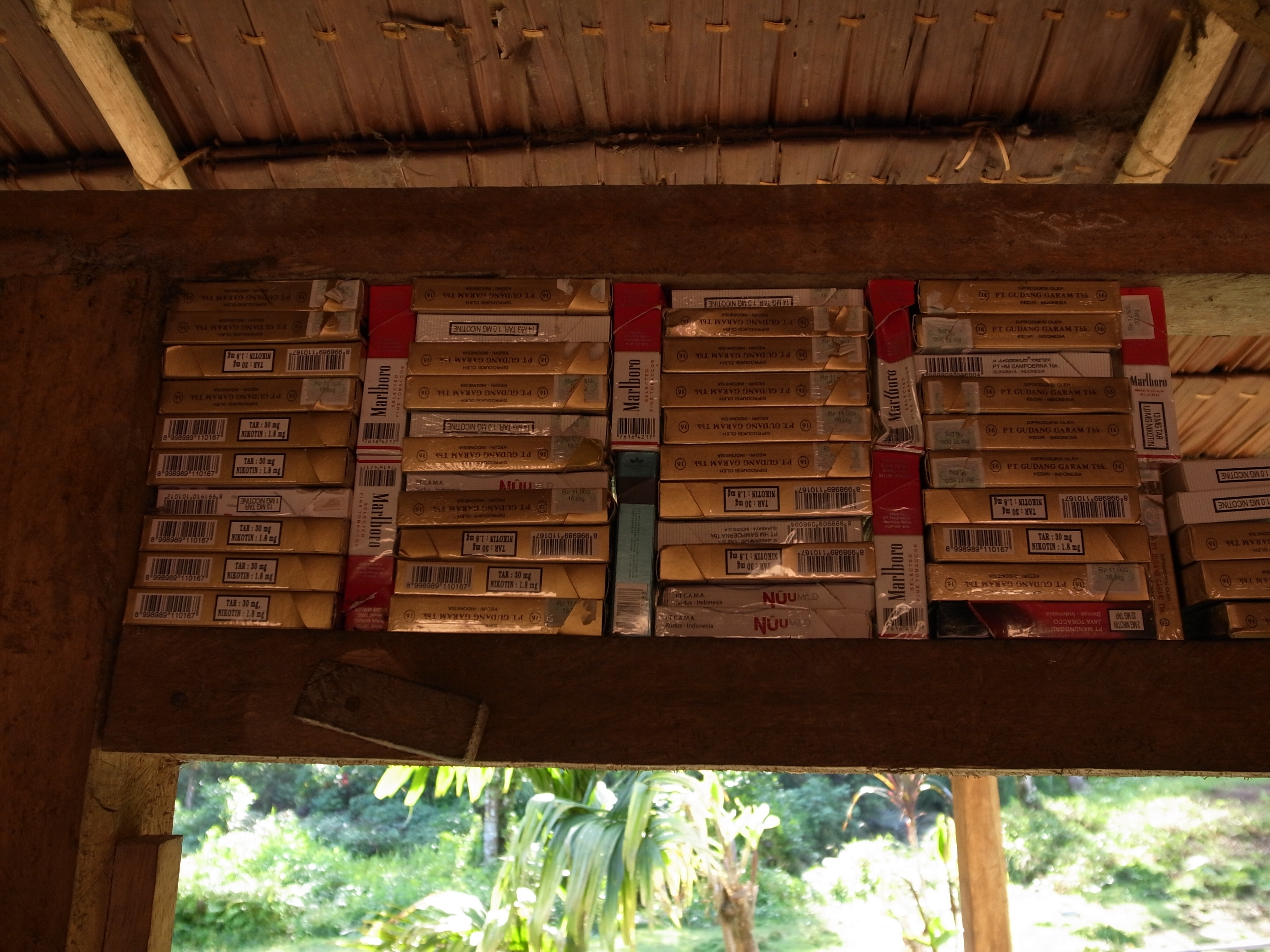
Cigarette collection

Tea service

Wet footware
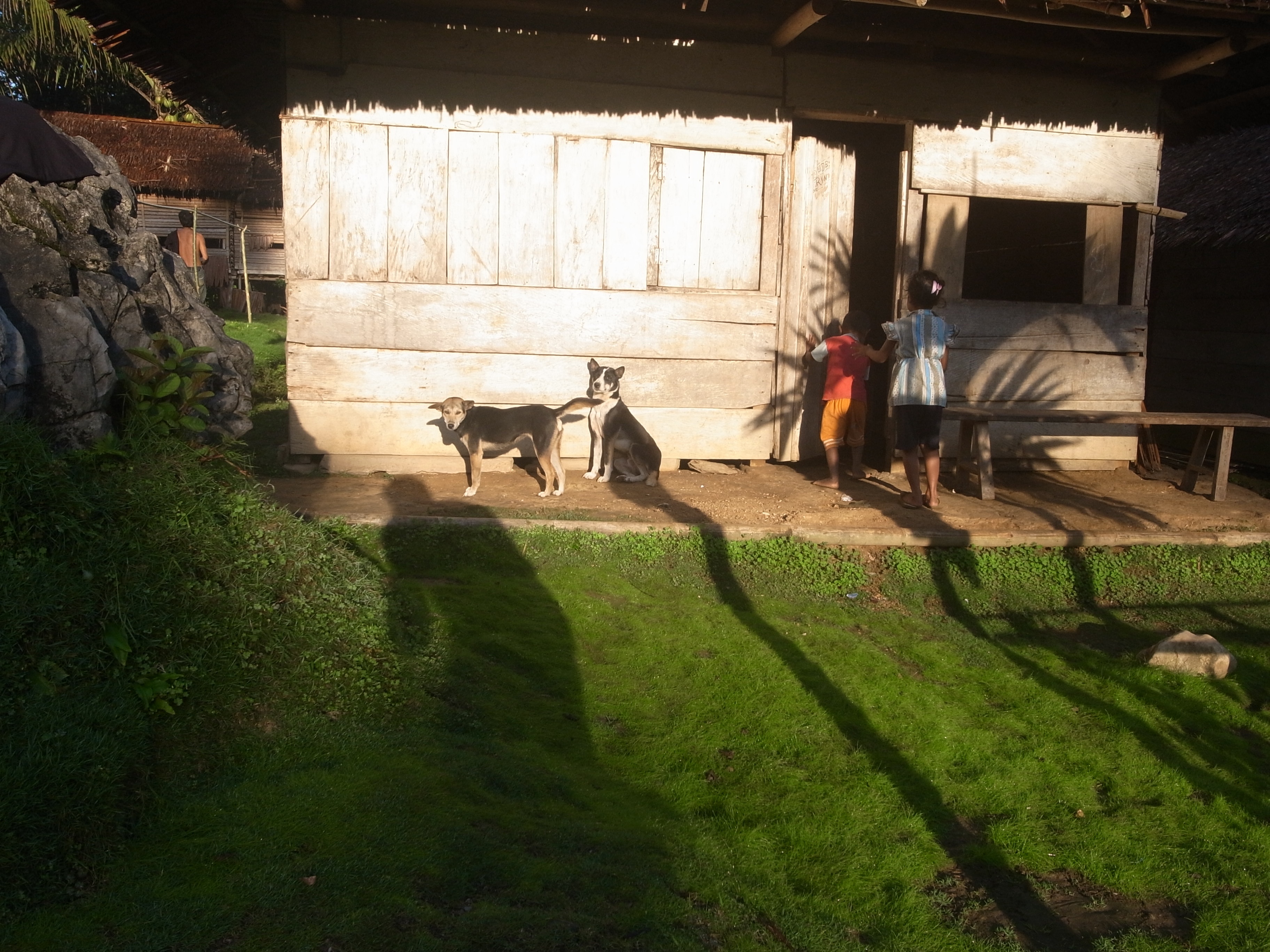
Shy subjects

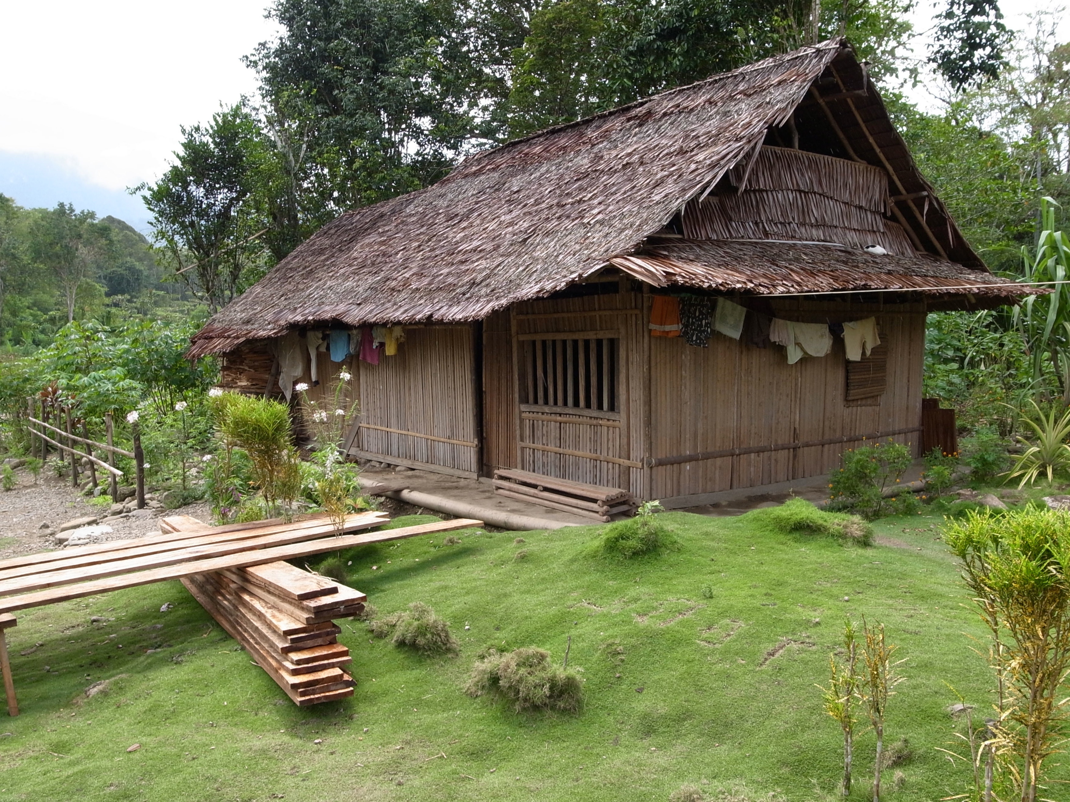
Hobbit house
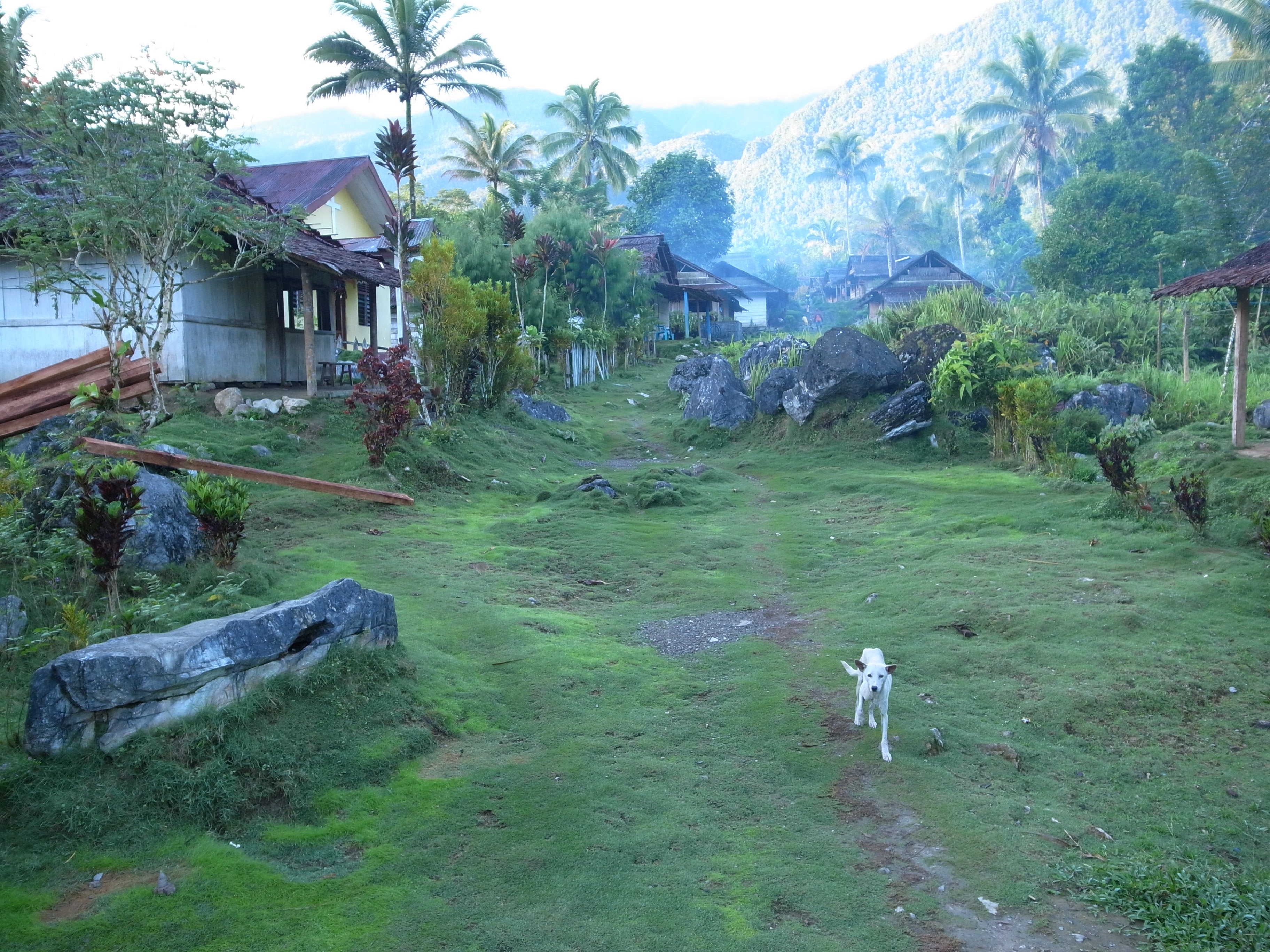
The village of Kanikeh

Kanikeh cottage
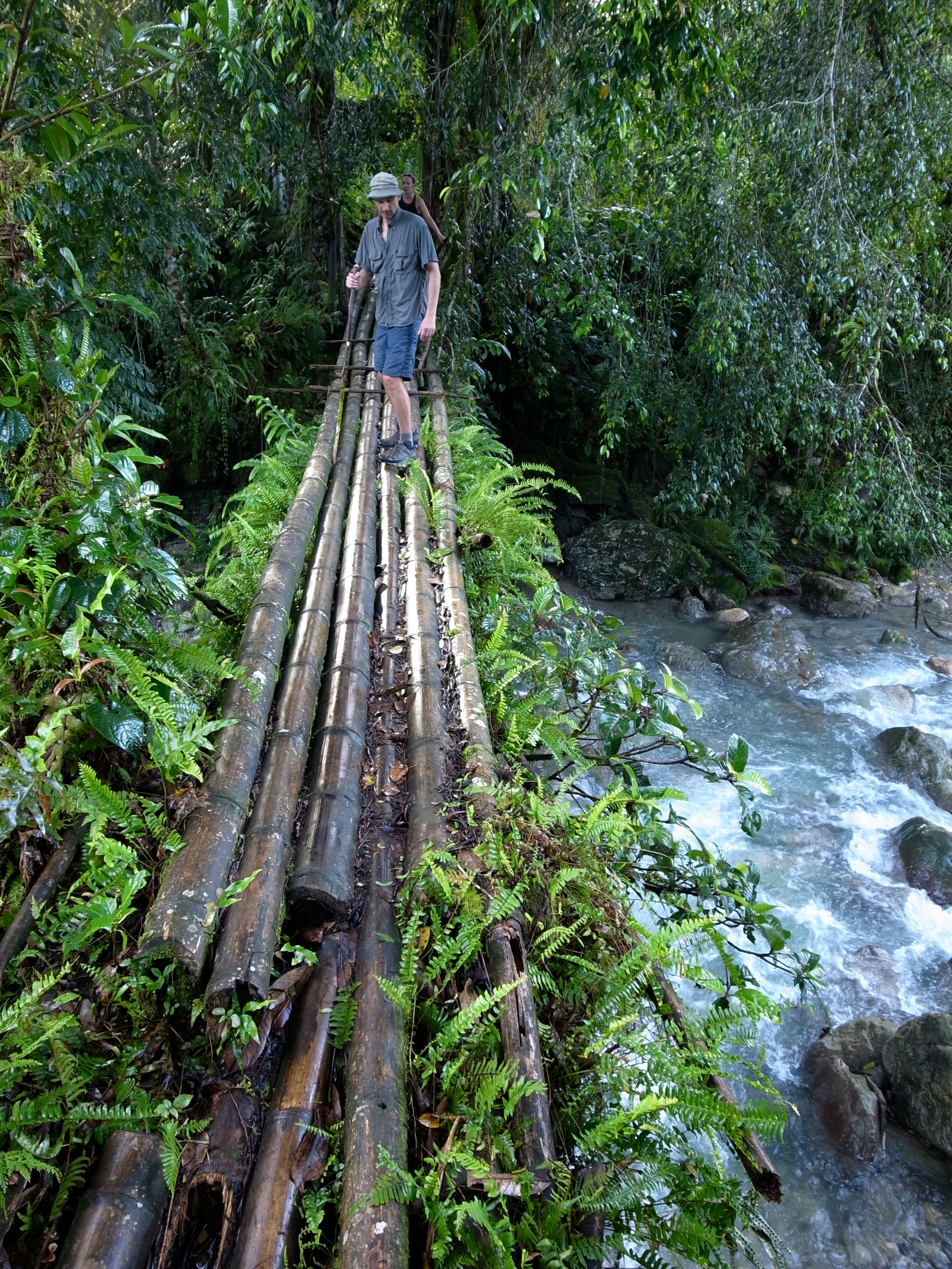
Petr easing his way across the wet bamboo

PD on the bridge
Topographic Map of Kanikeh, North Seram, Central Maluku Regency, Maluku, Indonesia
Find elevation by address:

Places in Kanikeh, North Seram, Central Maluku Regency, Maluku, Indonesia:
Places near Kanikeh, North Seram, Central Maluku Regency, Maluku, Indonesia:
Recent Searches:
- Elevation of Corso Fratelli Cairoli, 35, Macerata MC, Italy
- Elevation of Tallevast Rd, Sarasota, FL, USA
- Elevation of 4th St E, Sonoma, CA, USA
- Elevation of Black Hollow Rd, Pennsdale, PA, USA
- Elevation of Oakland Ave, Williamsport, PA, USA
- Elevation of Pedrógão Grande, Portugal
- Elevation of Klee Dr, Martinsburg, WV, USA
- Elevation of Via Roma, Pieranica CR, Italy
- Elevation of Tavkvetili Mountain, Georgia
- Elevation of Hartfords Bluff Cir, Mt Pleasant, SC, USA