Elevation of Kandahar, Afghanistan
Location: Afghanistan > Kandahar >
Longitude: 65.8085049
Latitude: 31.5358972
Elevation: 1009m / 3310feet
Barometric Pressure: 90KPa
Elevation Map:
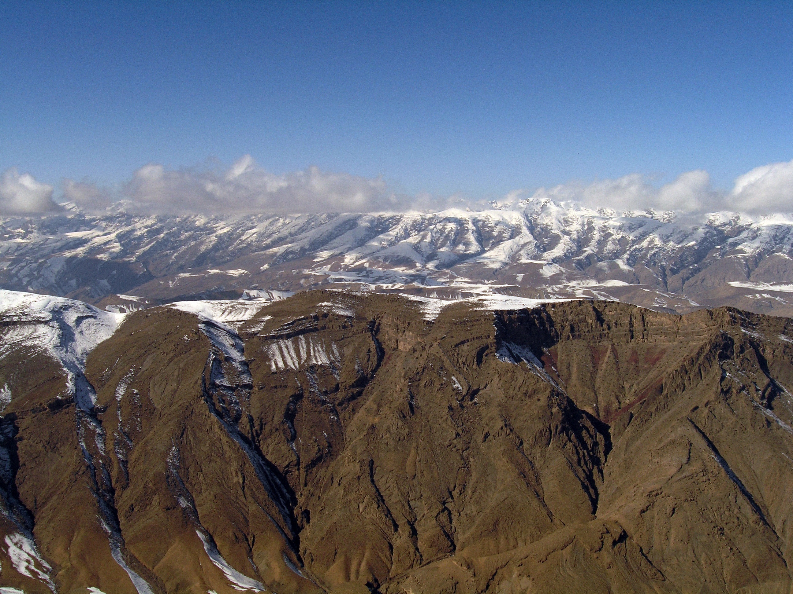
Satellite Map:
Related Photos:

GB.AFG.11.0123

GB.AFG.11.0122

GB.AFG.11.0119

GB.AFG.11.0121

GB.AFG.11.0124

GB.AFG.11.0120

GB.AFG.11.0118

GB.AFG.11.0128

GB.AFG.11.0129

GB.AFG.11.0126

GB.AFG.11.0106

Kandahar City

GB.AFG.11.0131

IMG_0008.-23

PC151445.-222

P1292440.-86
P1142131.-442

PC151448.-225

P1141988.-259

P1142006.-304

P1142183.-479
Topographic Map of Kandahar, Afghanistan
Find elevation by address:

Places in Kandahar, Afghanistan:
Places near Kandahar, Afghanistan:
Recent Searches:
- Elevation of 6 Muir St, Medowie NSW, Australia
- Elevation of Woodland Road, Woodland Rd, Lee, MA, USA
- Elevation of Turner Mill Rd, Talladega, AL, USA
- Elevation of Wylie Ridge Rd, New Cumberland, WV, USA
- Elevation of Dogwood Ln, Millsboro, DE, USA
- Elevation of Paseo Lucido, San Diego, CA, USA
- Elevation of W S, Orem, UT, USA
- Elevation of Water Bird Wy, Punta Gorda, FL, USA
- Elevation of Teiskontie 8, Tampere, Finland
- Elevation of Pacific View Dr, Malibu, CA, USA