Elevation of Kamuichō Kamiubun, Asahikawa-shi, Hokkaidō -, Japan
Location: Japan > Hokkaido Prefecture > Asahikawa >
Longitude: 142.337325
Latitude: 43.6983321
Elevation: 162m / 531feet
Barometric Pressure: 99KPa
Elevation Map:
Satellite Map:
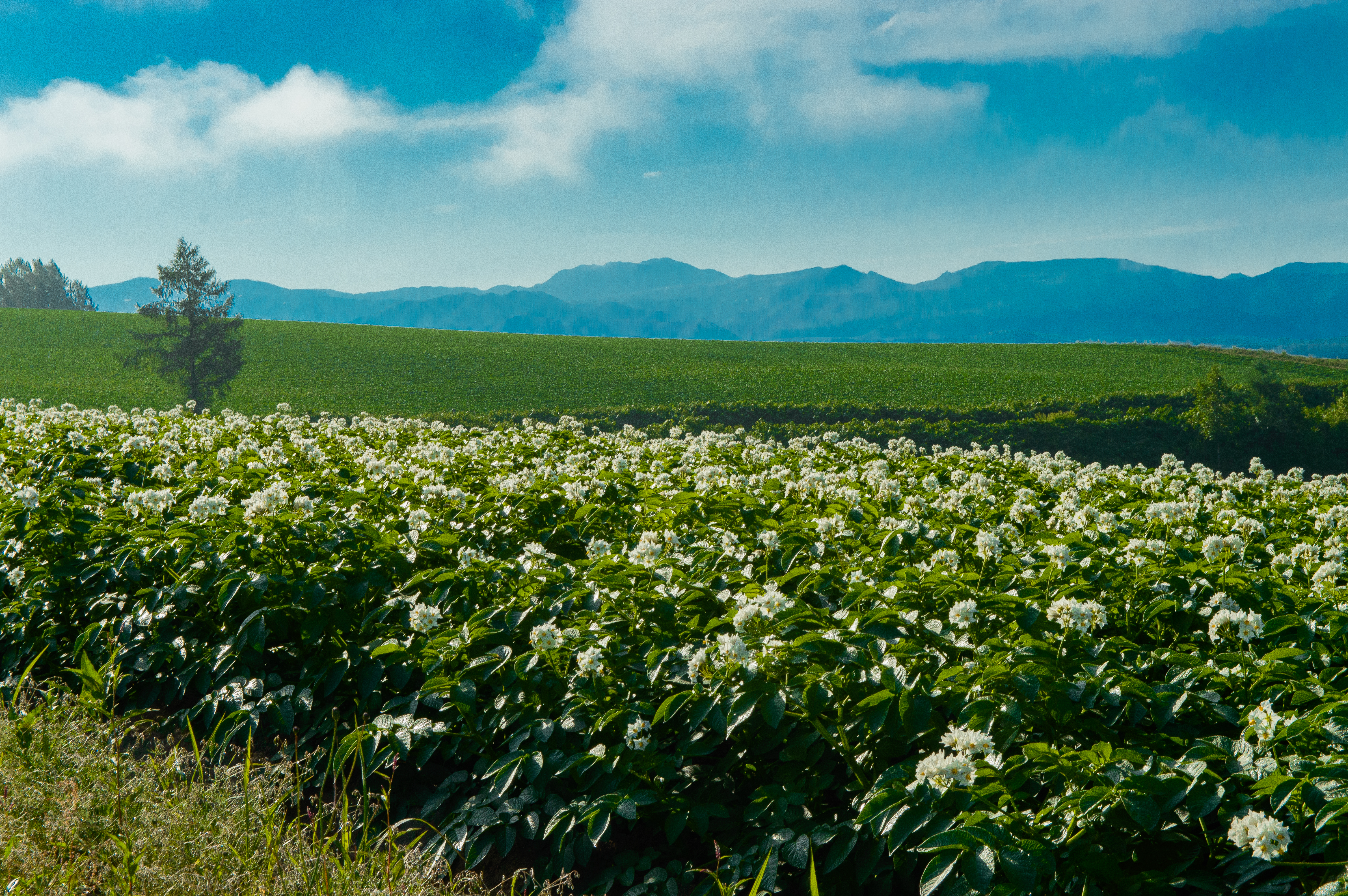
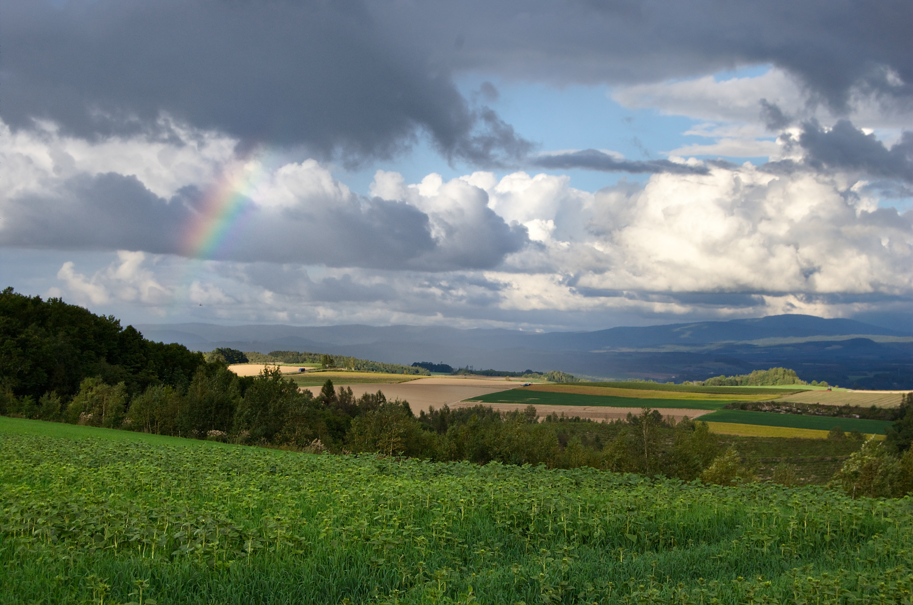
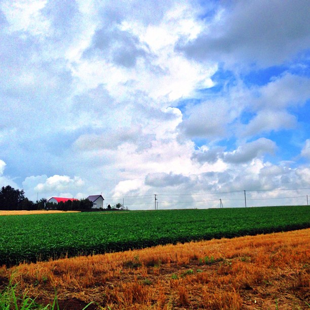
Related Photos:

Polar Bear Viewing

Eating in Hokkaido!

090215-Biei-Hokusei Hill View Park-12
090215-Biei-Hokusei Hill View Park-10
090215-Biei-Hokusei Hill View Park-4
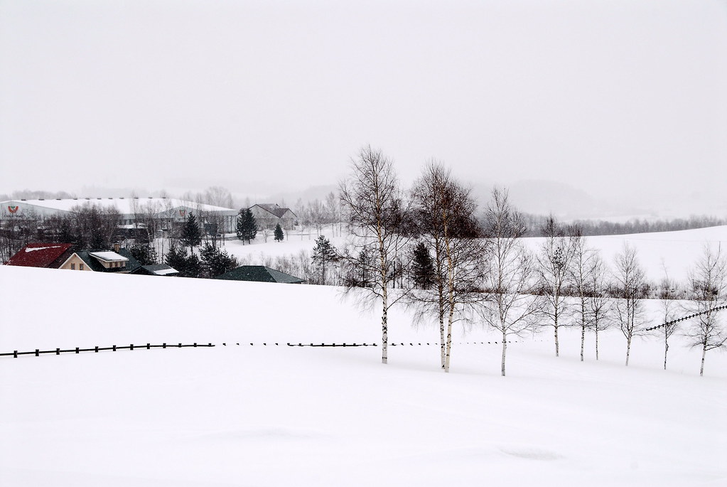
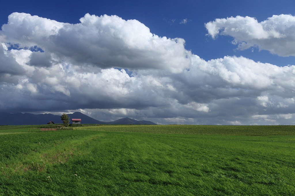
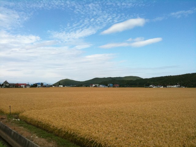
Driving around Biei City
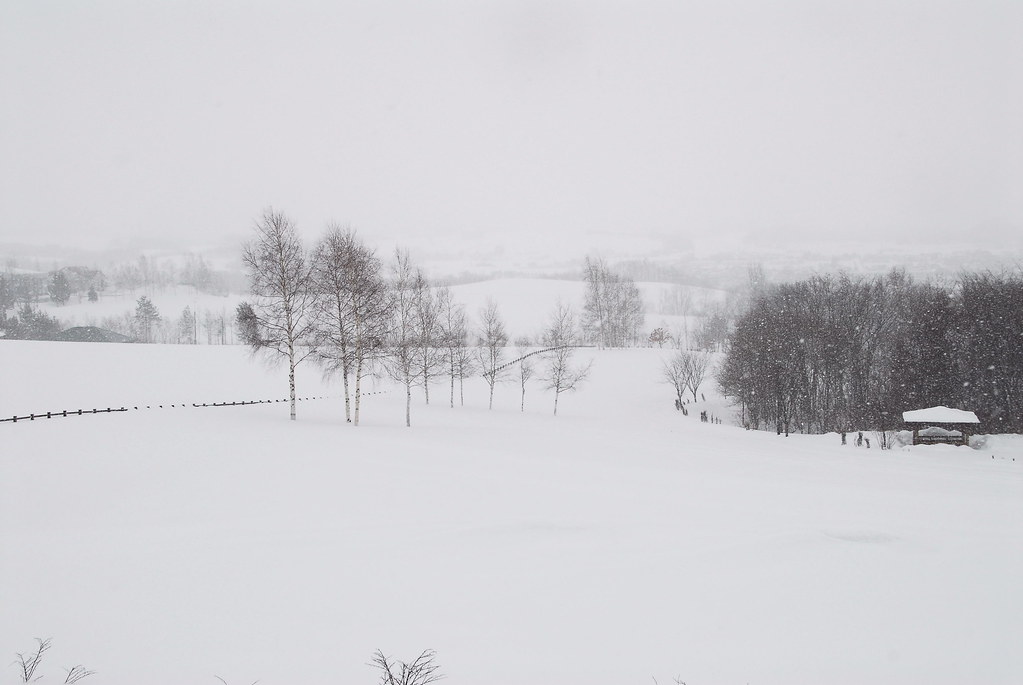
Driving around Biei City
Driving around Biei City
Driving around Biei City
Driving around Biei City

viewing for Asahikawa Station from Kitasaito Garden
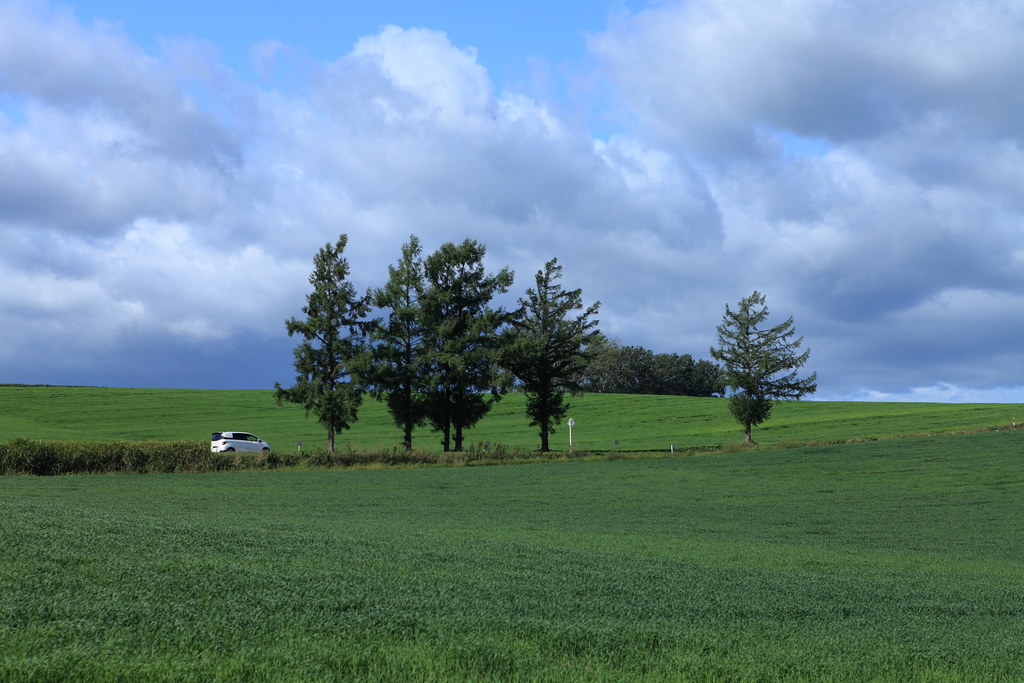
Driving around Biei Town
Driving around Biei City

Driving around Biei City

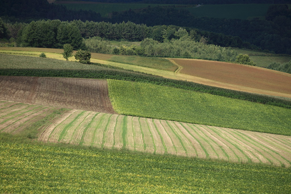
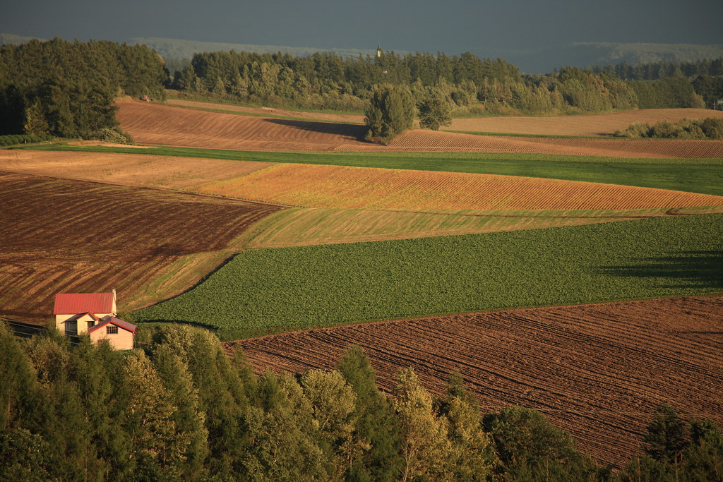
拼布大地

Driving around Biei City
Driving around Biei Town
Driving around Biei City
Viei "Scenery of hills" 060825_028

Driving around Biei City
Driving around Biei City

Parent and Child

夏の定番
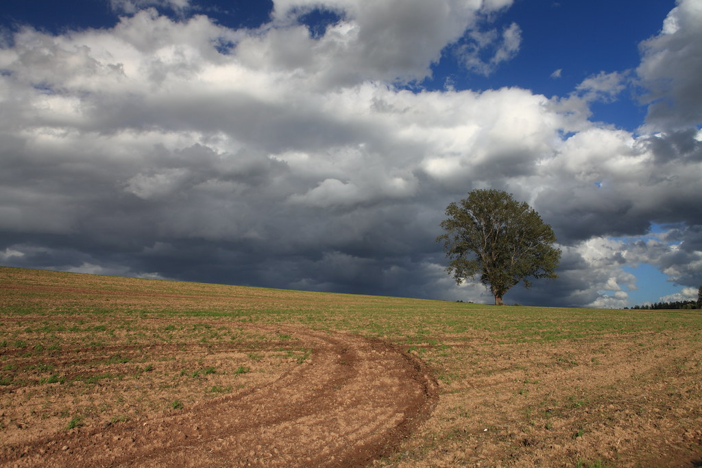
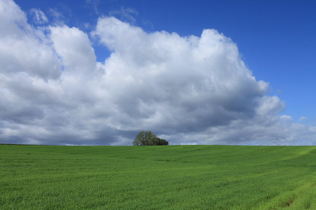
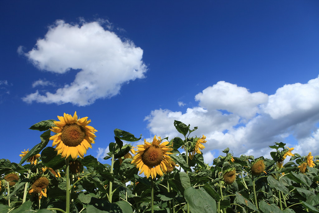
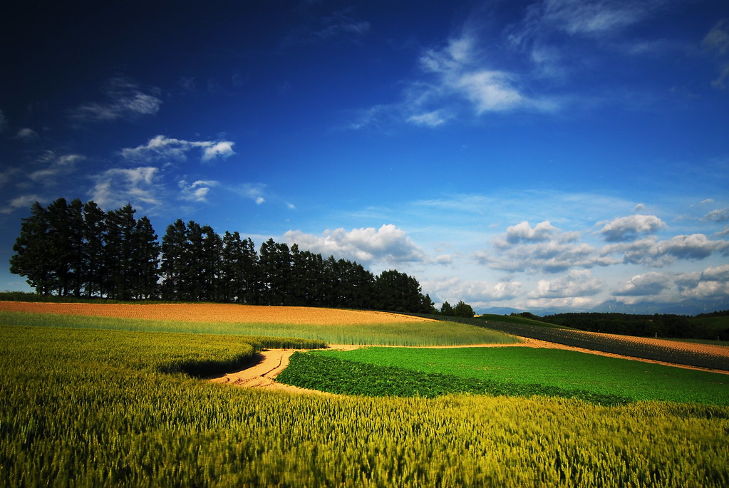
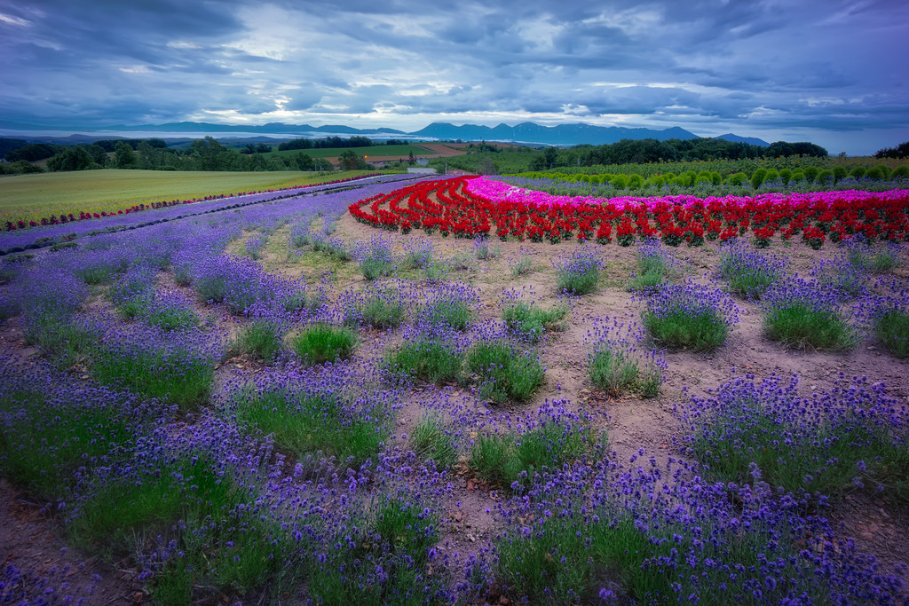
The Blue Sky - 美瑛の麦畑 -
ローフリフト
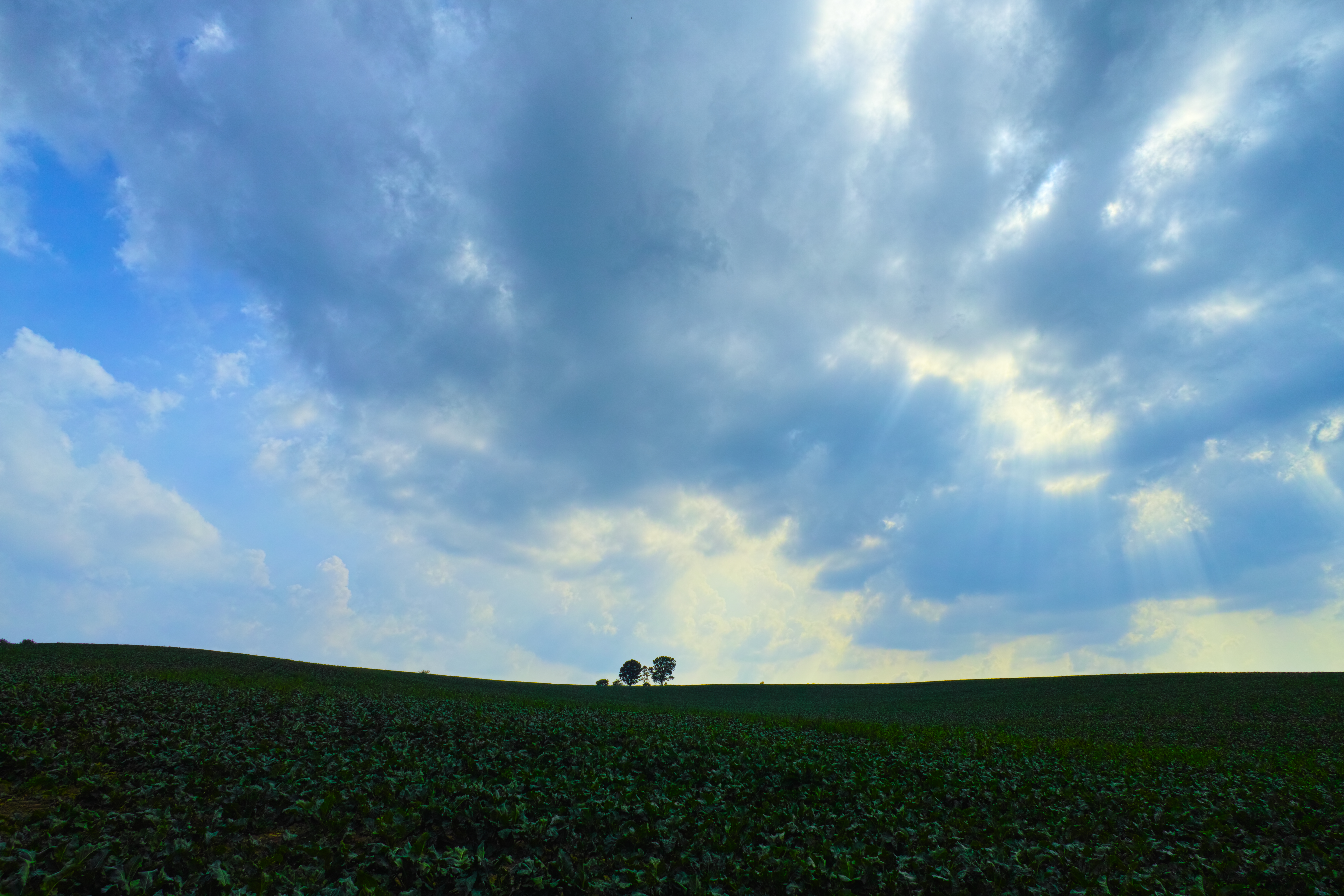
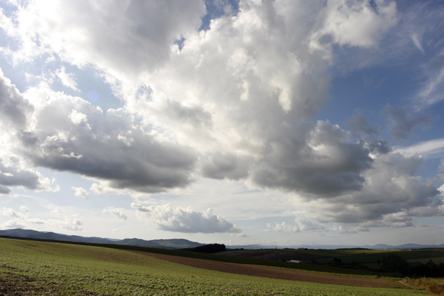
Cloudy Sky - 美瑛の景色 -
near Higashi-asahikawa, Hokkaidō, Japan
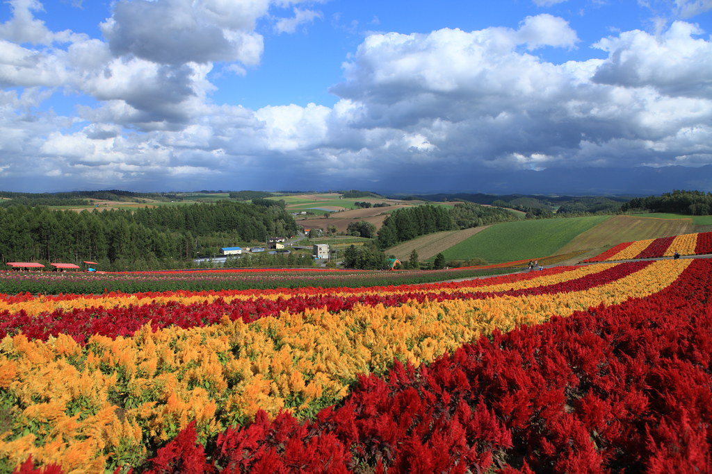
Biei 赤麥之丘
Leave the city
Hill boundary HDR

Giving A Chance
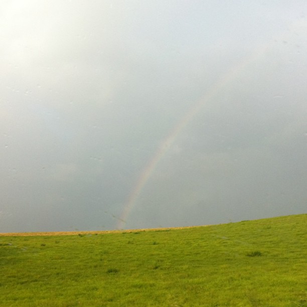
虹の丘

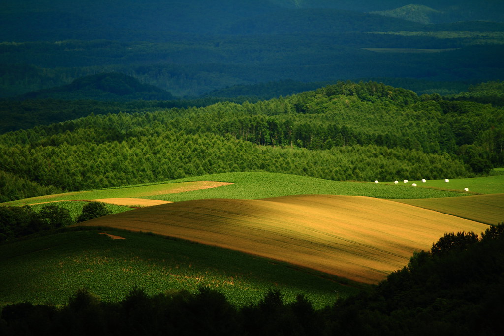
End of Magic Hour
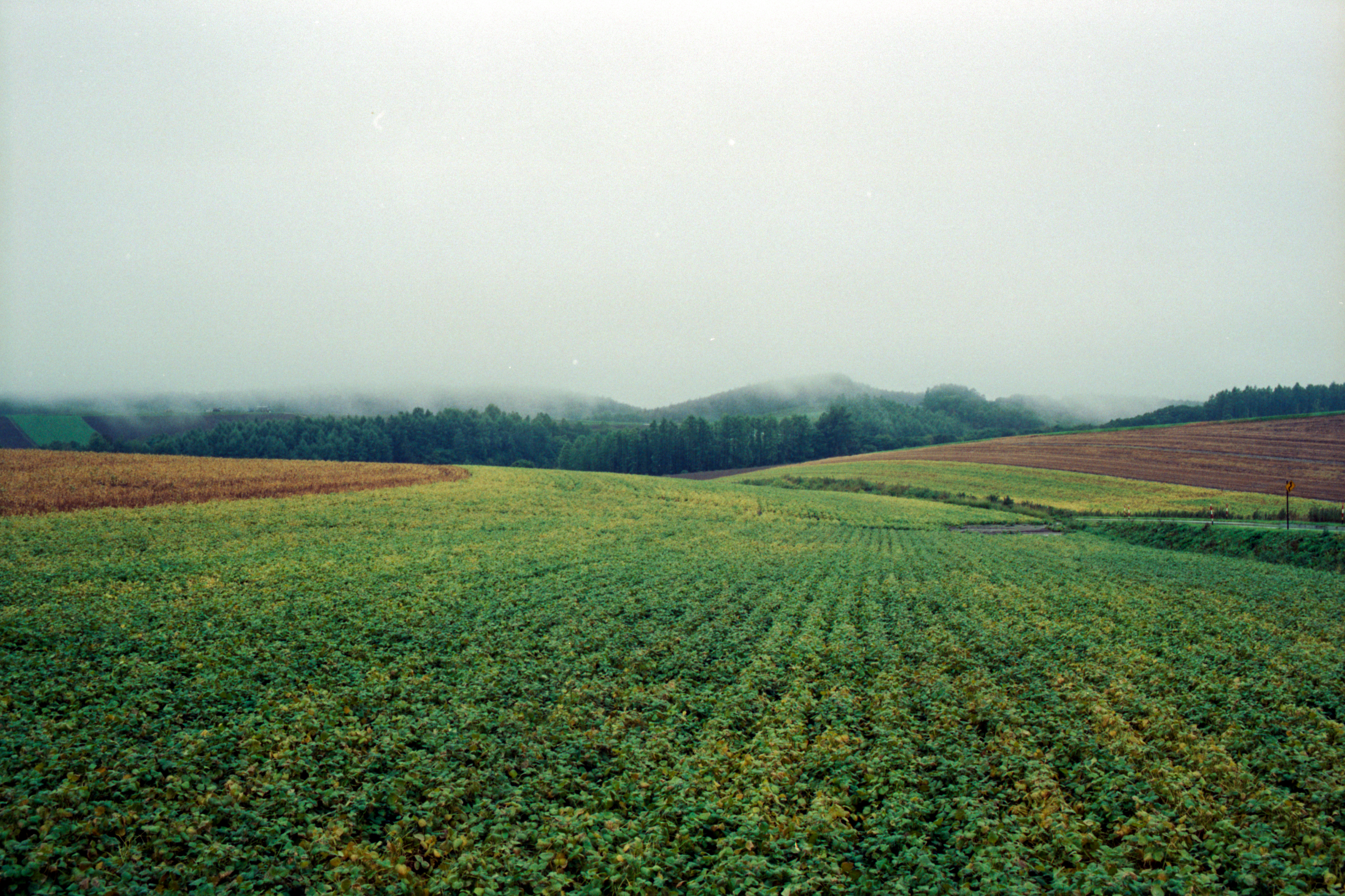
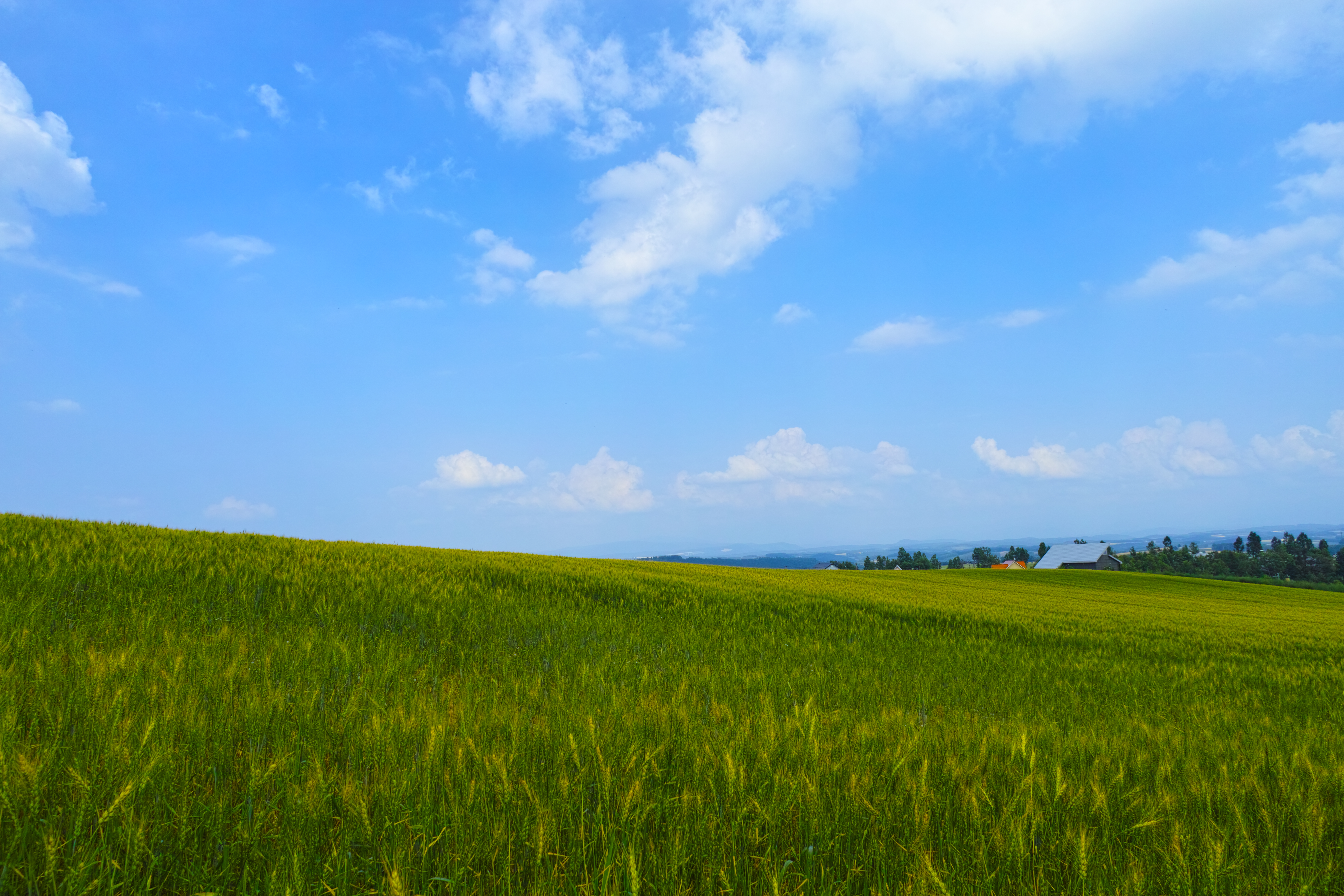
wet Biei field
mountain pass
It's Never too Late
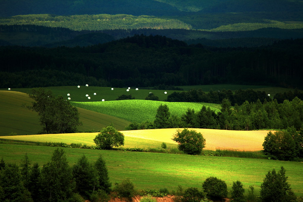
美瑛・就実の丘付近4・Biei
Japan 2014-09-08_16-38-08 D40
Japan 2014-09-08_16-38-27 D40
Red!!
Topographic Map of Kamuichō Kamiubun, Asahikawa-shi, Hokkaidō -, Japan
Find elevation by address:

Places near Kamuichō Kamiubun, Asahikawa-shi, Hokkaidō -, Japan:
Kamuichō Ubun, Asahikawa-shi, Hokkaidō -, Japan
Kamuichō Tomisawa, Asahikawa-shi, Hokkaidō -, Japan
2 Chome-10-8 Midorigaoka Minami 2 Jō, Asahikawa-shi, Hokkaidō -, Japan
Kamuichō Tomisawa, Asahikawa-shi, Hokkaidō -, Japan
1 Chome-11-12 Midorigaoka Higashi 3 Jō, Asahikawa-shi, Hokkaidō -, Japan
5 Chome-2-13 Kaguraoka 7 Jō, Asahikawa-shi, Hokkaidō -, Japan
6 Chome-1-12 Kagura 3 Jō
神楽市民交流センター
4 Chome-4-2 Kyokushin 2 Jō, Asahikawa-shi, Hokkaidō -, Japan
6 Chome-1-2 Takasagodai, Asahikawa-shi, Hokkaidō -, Japan
Asahikawa Station
3 Chome-1-11 Miyamae 1 Jō, Asahikawa-shi, Hokkaidō -, Japan
24 Chome--32 Minami 3 Jōdōri, Asahikawa-shi, Hokkaidō -, Japan
17 Gō--63 Nishikagura 1 Sen, Asahikawa-shi, Hokkaidō -, Japan
7 Chome-1-19 Akebonokita 2 Jō, Asahikawa-shi, Hokkaidō -, Japan
6 Chome-5-1 Hijirino Kita 1 Jō
Asahikawa
ひじり野西団地08―1
サンパティークⅤ
5 Chome-4-8 Chūwa 5 Jō
Recent Searches:
- Elevation of 3 Nestling Wood Dr, Long Valley, NJ, USA
- Elevation of Ilungu, Tanzania
- Elevation of Yellow Springs Road, Yellow Springs Rd, Chester Springs, PA, USA
- Elevation of Rēzekne Municipality, Latvia
- Elevation of Plikpūrmaļi, Vērēmi Parish, Rēzekne Municipality, LV-, Latvia
- Elevation of 2 Henschke Ct, Caboolture QLD, Australia
- Elevation of Redondo Ave, Long Beach, CA, USA
- Elevation of Sadovaya Ulitsa, 20, Rezh, Sverdlovskaya oblast', Russia
- Elevation of Ulitsa Kalinina, 79, Rezh, Sverdlovskaya oblast', Russia
- Elevation of 72-31 Metropolitan Ave, Middle Village, NY, USA