Elevation of Kampung Teratai, Jementah, Johor, Malaysia
Location: Malaysia > Johor >
Longitude: 102.726049
Latitude: 2.331983
Elevation: 30m / 98feet
Barometric Pressure: 101KPa
Elevation Map:
Satellite Map:
Related Photos:
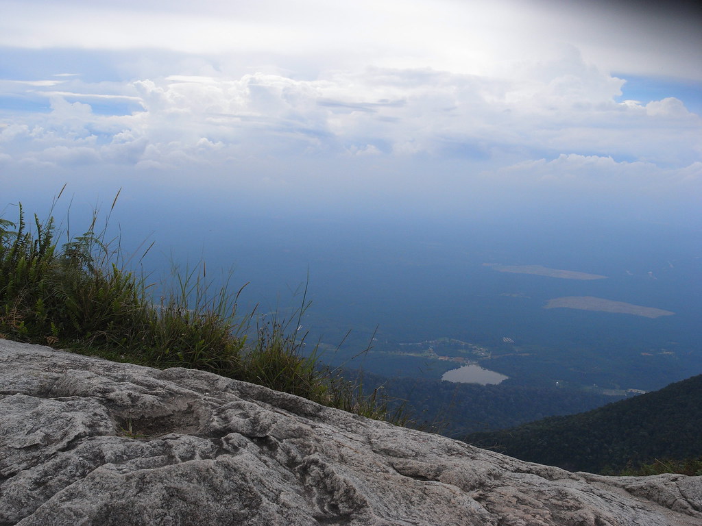
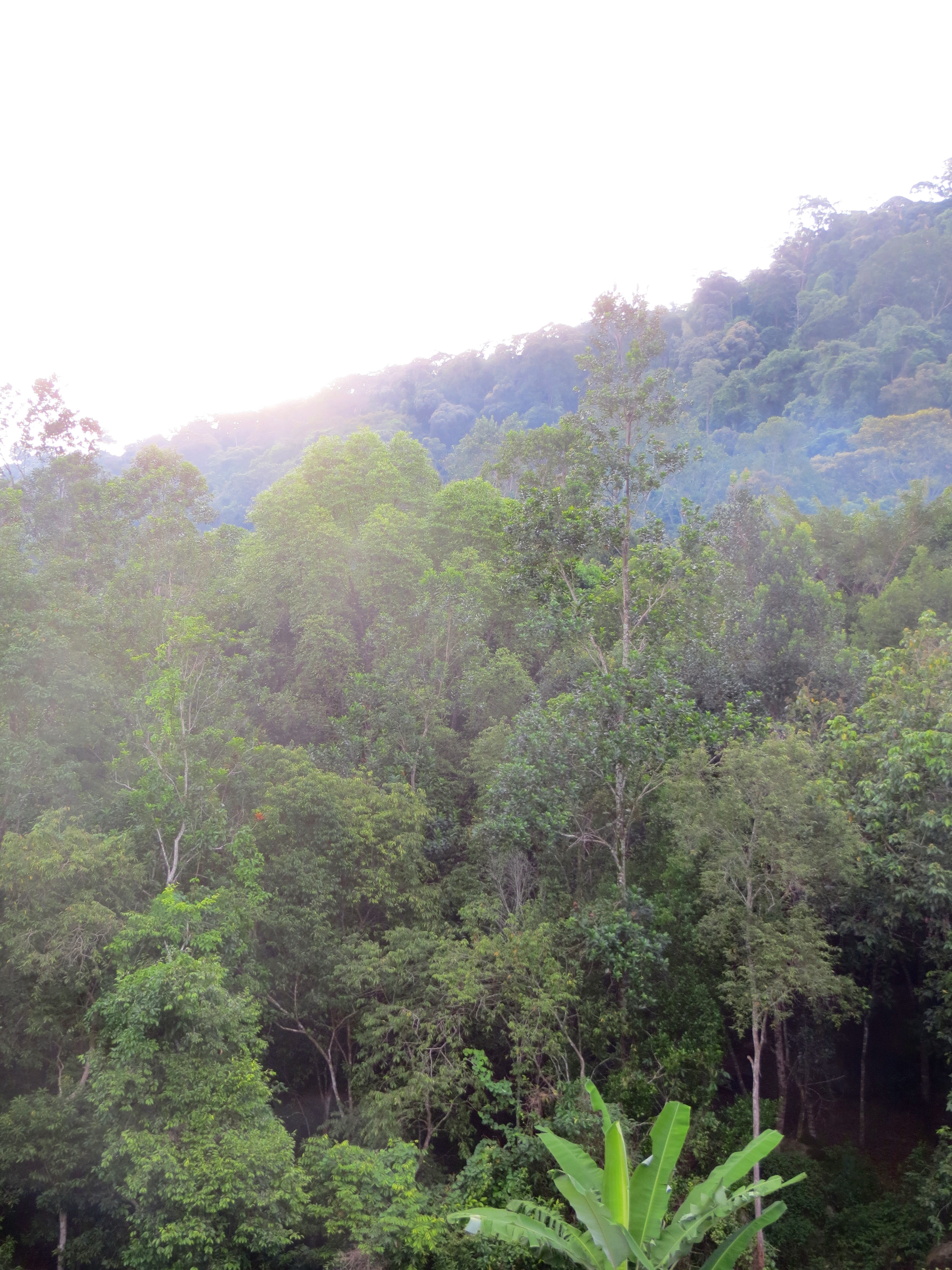
View from top
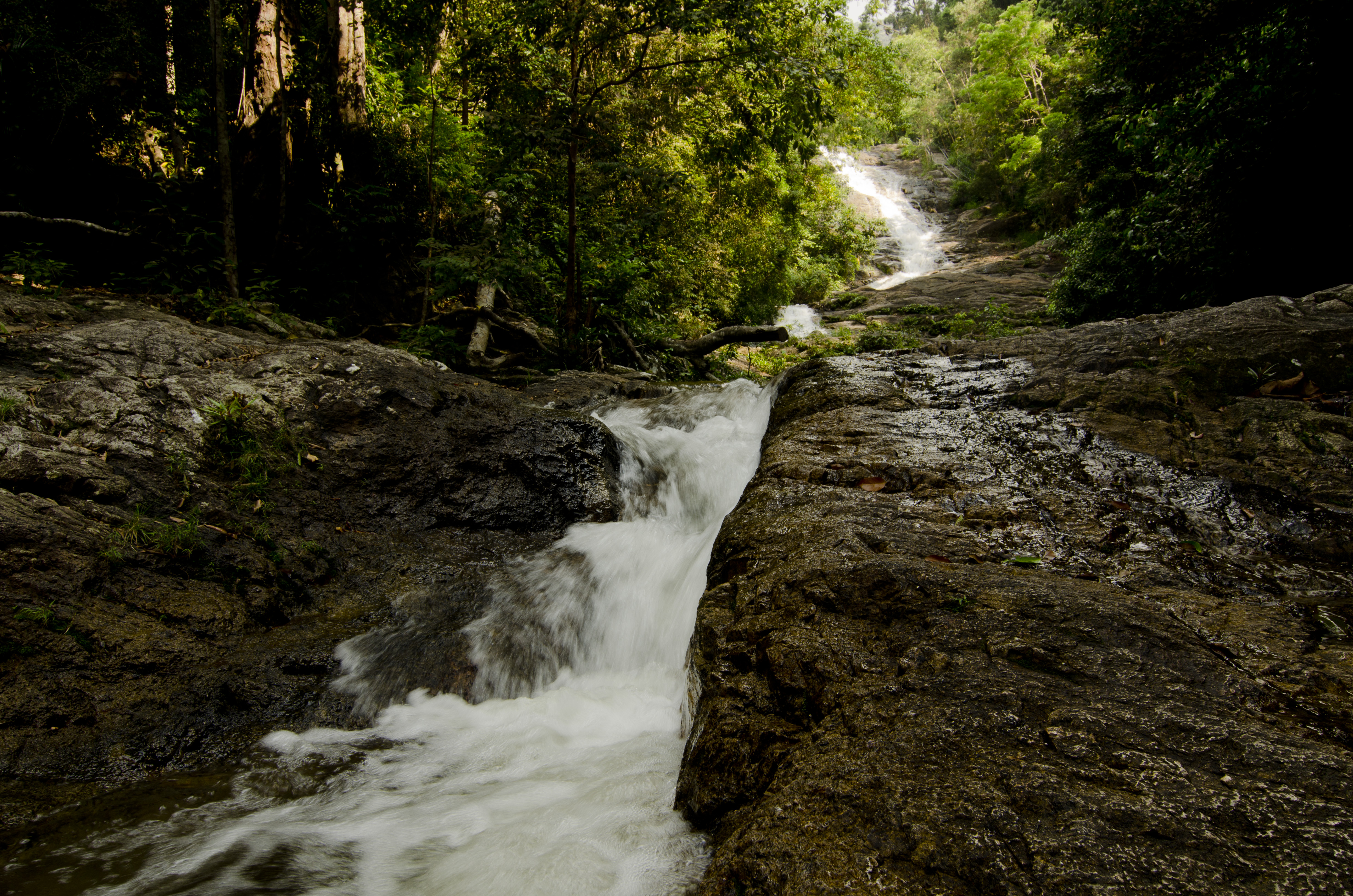
sagil waterfall, segamat
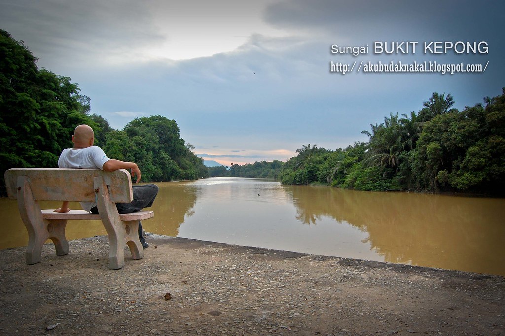
Sungai Bukit Kepong
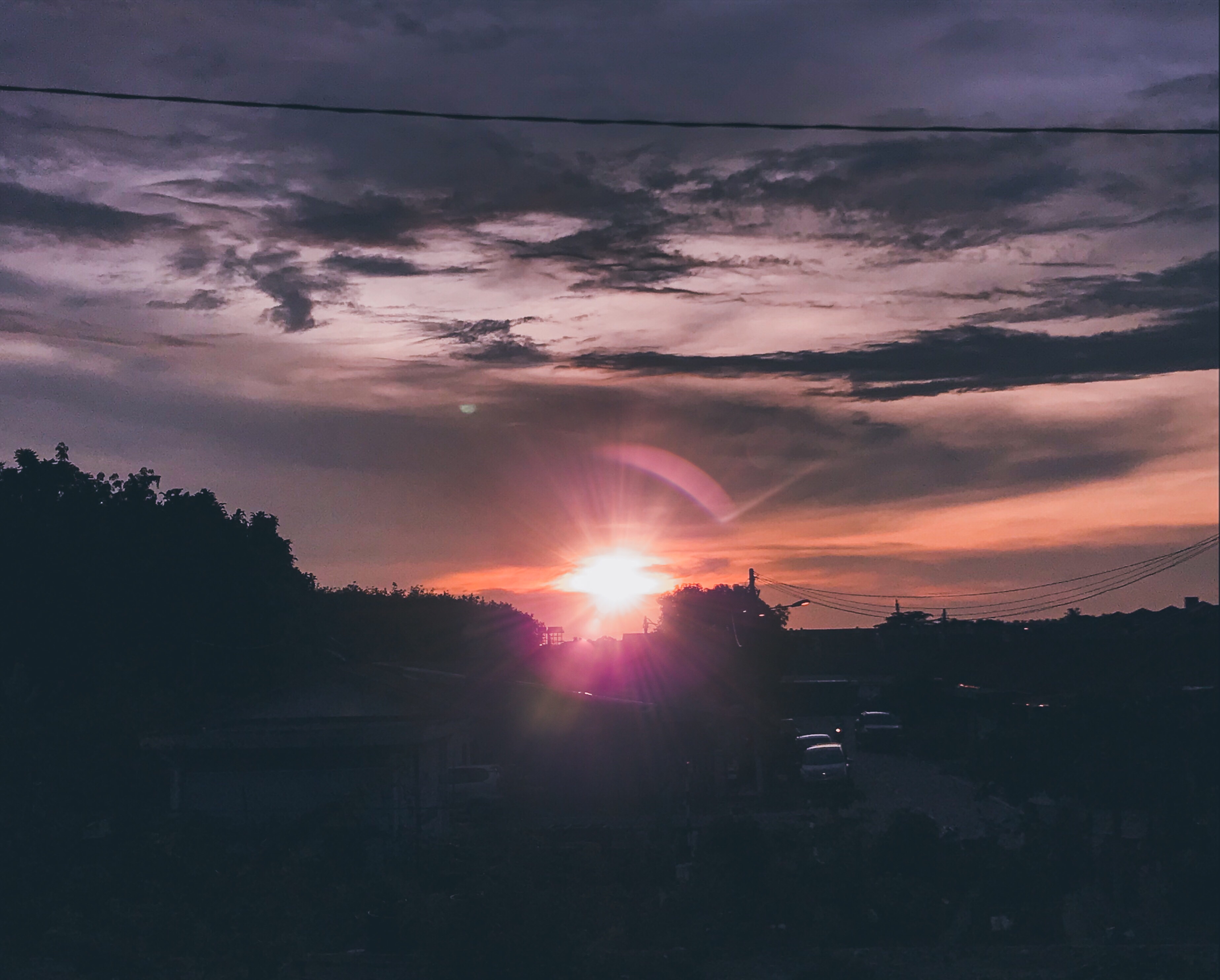
I like to see the world this way #Sunset #Malaysia

gunung ledang - malaysia
gunung ledang - malaysia
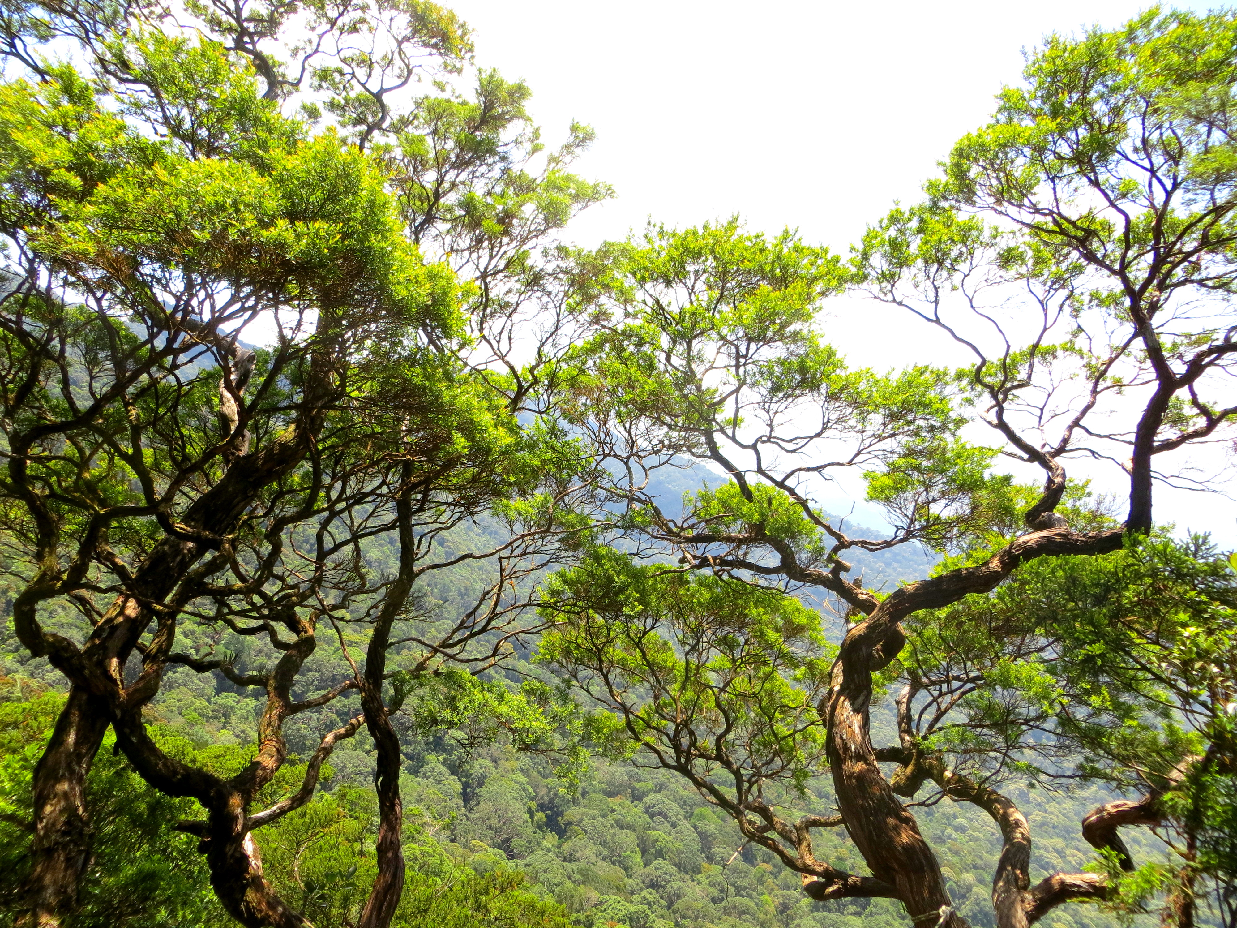
gunung ledang - malaysia
Gunung Ledang Resort
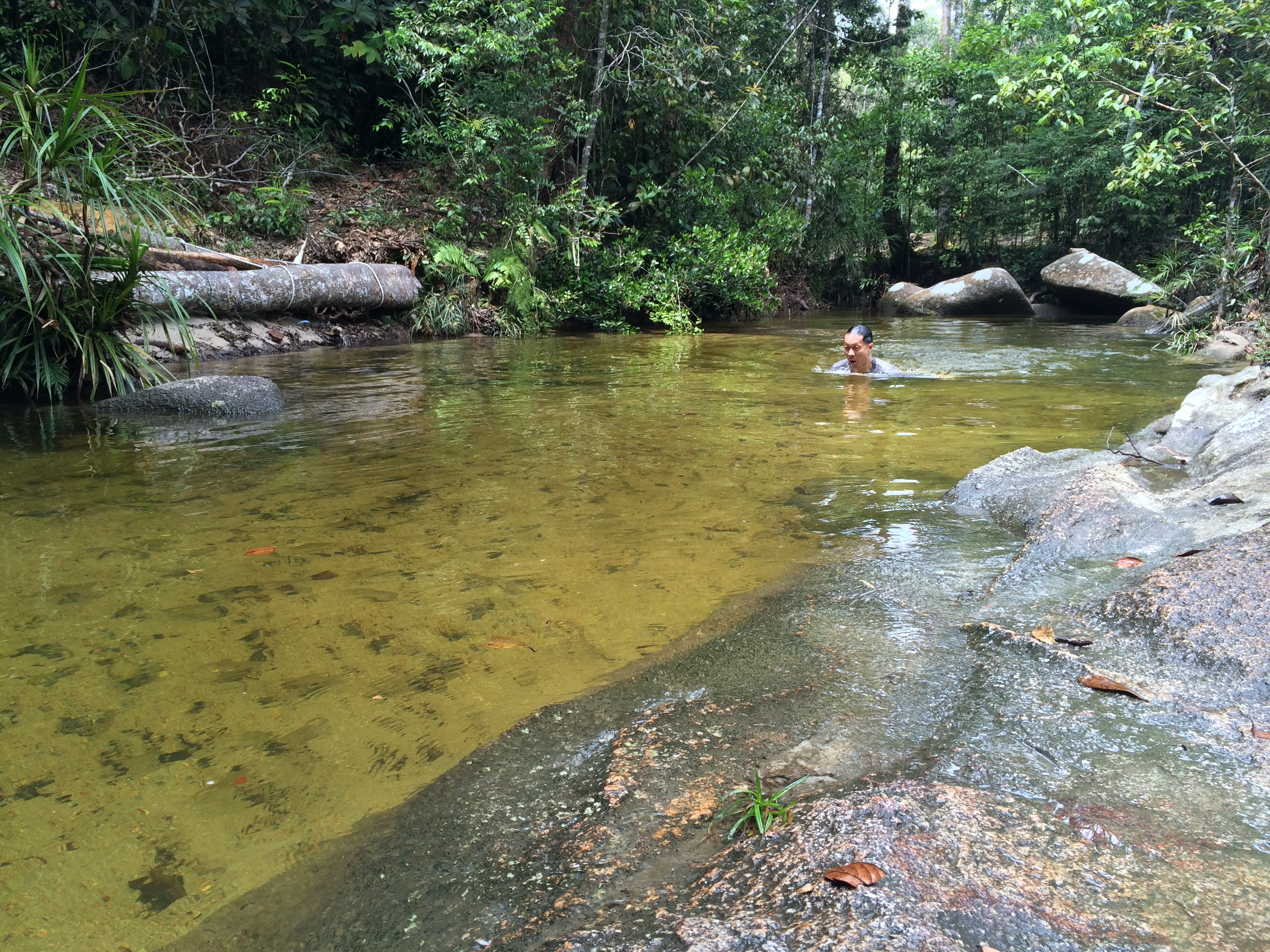
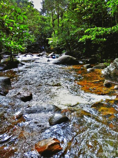
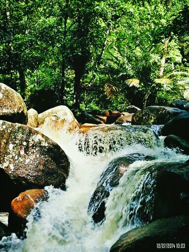
You can't tell that the water is 20 degrees from these photos
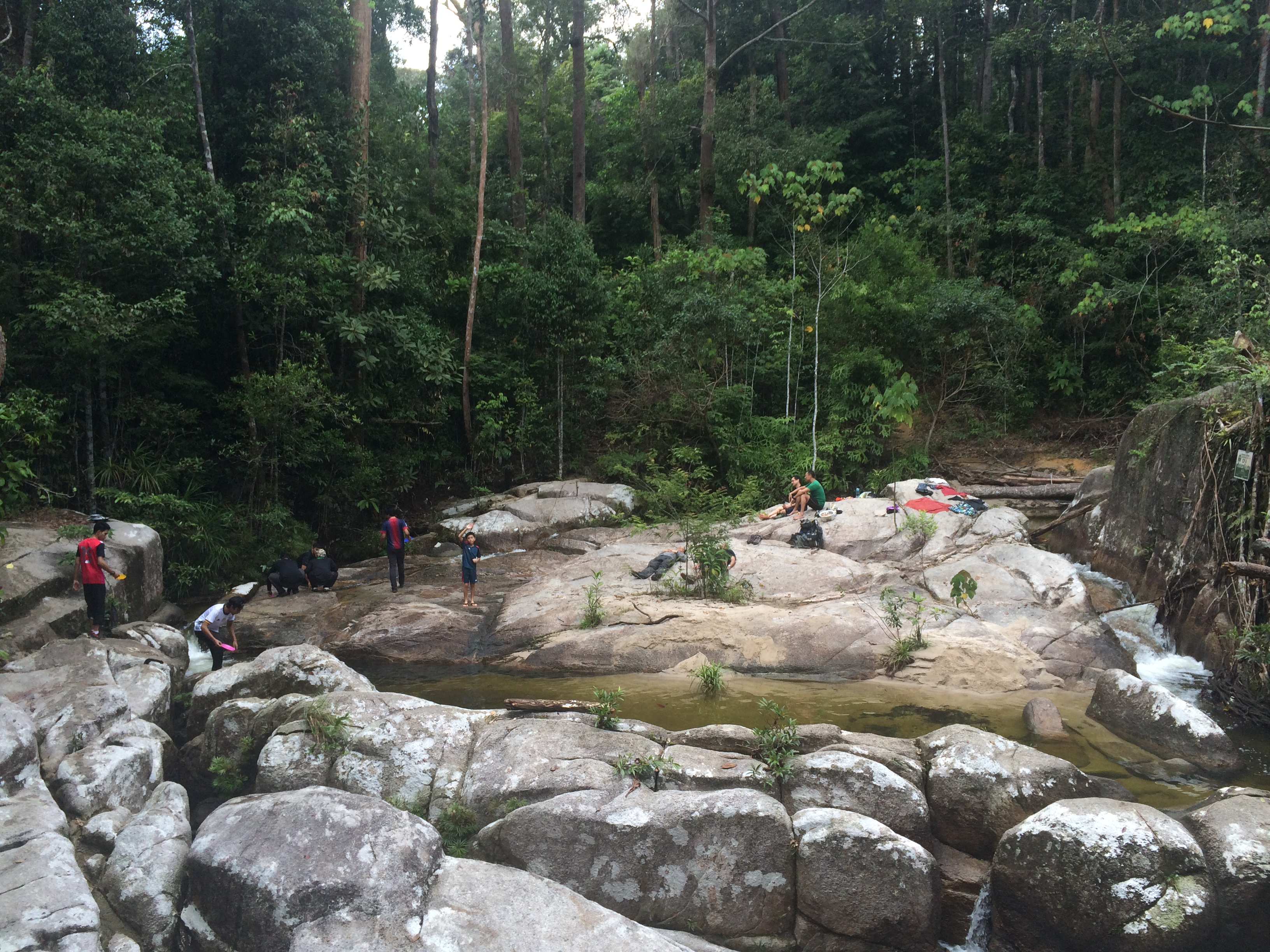
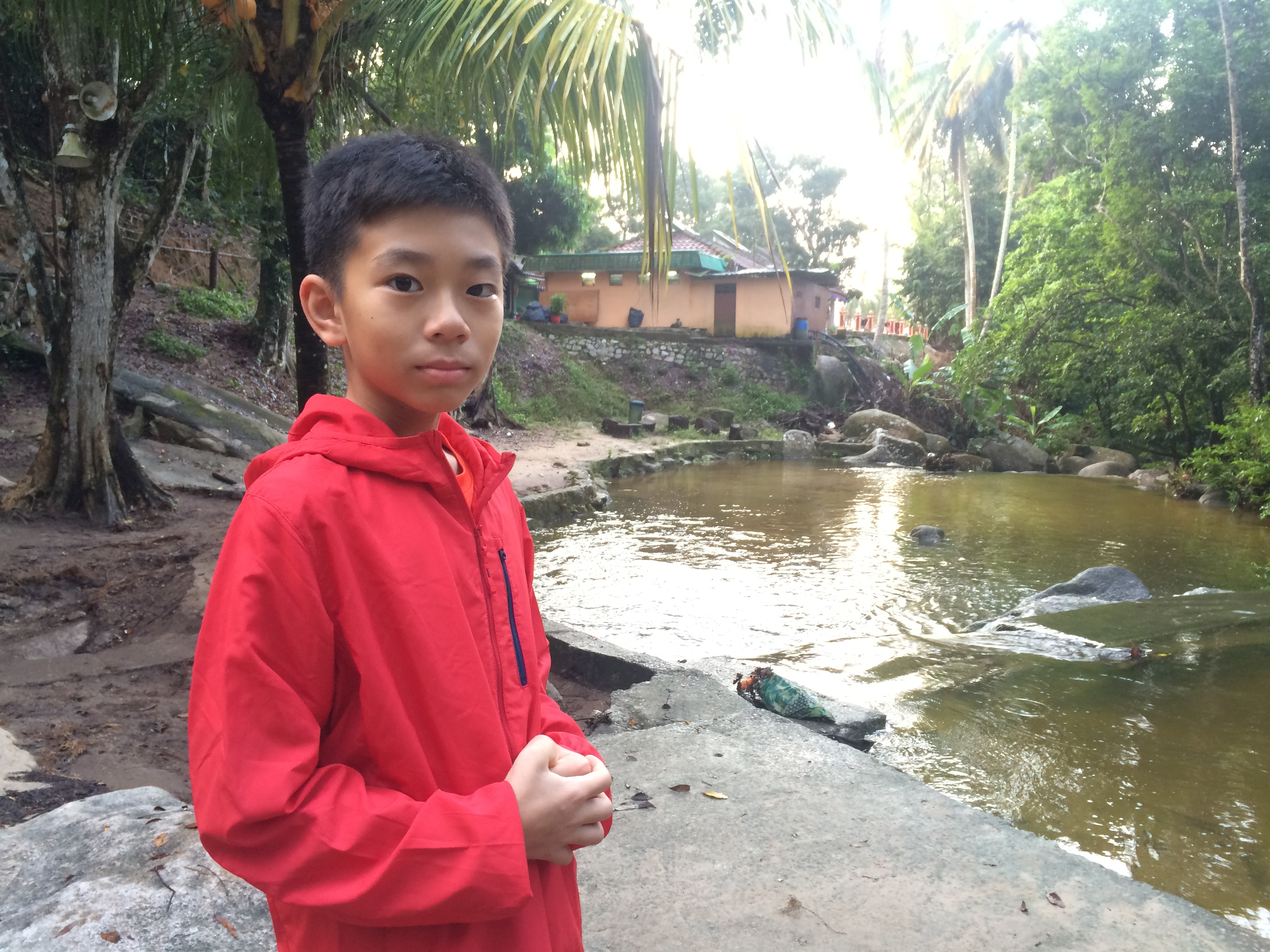
This is a really idyllic campsite
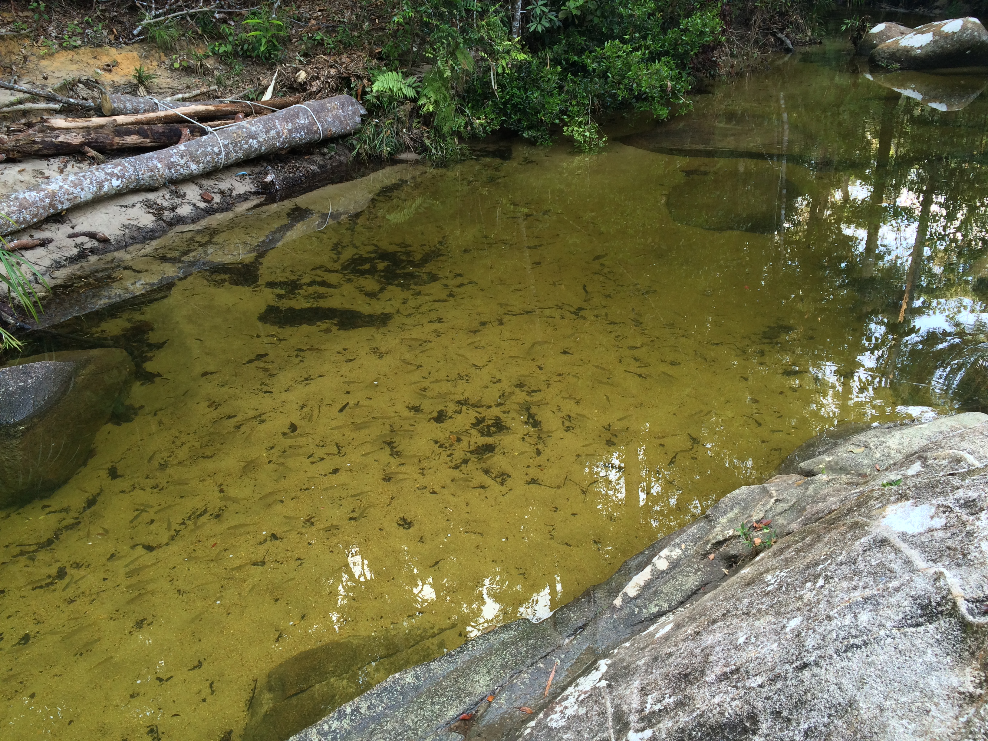
Question: how did these fish get into this rock pool?
@Gunung Ledang Resort Waterfall
@Gunung Ledang Resort Waterfall

@Gunung Ledang Resort Waterfall
Topographic Map of Kampung Teratai, Jementah, Johor, Malaysia
Find elevation by address:

Places near Kampung Teratai, Jementah, Johor, Malaysia:
Bukit Serampang
Kampung Seri Labis
Kampung Seri Chantek
Felda Seri Jaya Bukit Serampang
Jalan Felda SriLedang, Johor, Malaysia
Kampung Seri Baka
Kampung Sengkang Batu 20
Kebun Baharu
Masjid Kampung Kurnia Sakti
Sengkang
Arshad Bin Ishak
Kampung Durian Chondong
Kampung Penchu
Kampung Sengkang Batu 18
Kampung Parit Sawah
Jalan Sengkang
Kundang Ulu
Bukit Kepong
Kampung Parit Medan
Sk Kundang Ulu
Recent Searches:
- Elevation of Groblershoop, South Africa
- Elevation of Power Generation Enterprises | Industrial Diesel Generators, Oak Ave, Canyon Country, CA, USA
- Elevation of Chesaw Rd, Oroville, WA, USA
- Elevation of N, Mt Pleasant, UT, USA
- Elevation of 6 Rue Jules Ferry, Beausoleil, France
- Elevation of Sattva Horizon, 4JC6+G9P, Vinayak Nagar, Kattigenahalli, Bengaluru, Karnataka, India
- Elevation of Great Brook Sports, Gold Star Hwy, Groton, CT, USA
- Elevation of 10 Mountain Laurels Dr, Nashua, NH, USA
- Elevation of 16 Gilboa Ln, Nashua, NH, USA
- Elevation of Laurel Rd, Townsend, TN, USA