Elevation of Kampung Sawah Ring, Gerisek, Johor, Malaysia
Location: Malaysia > Johor >
Longitude: 102.682307
Latitude: 2.227973
Elevation: 7m / 23feet
Barometric Pressure: 101KPa
Elevation Map:
Satellite Map:
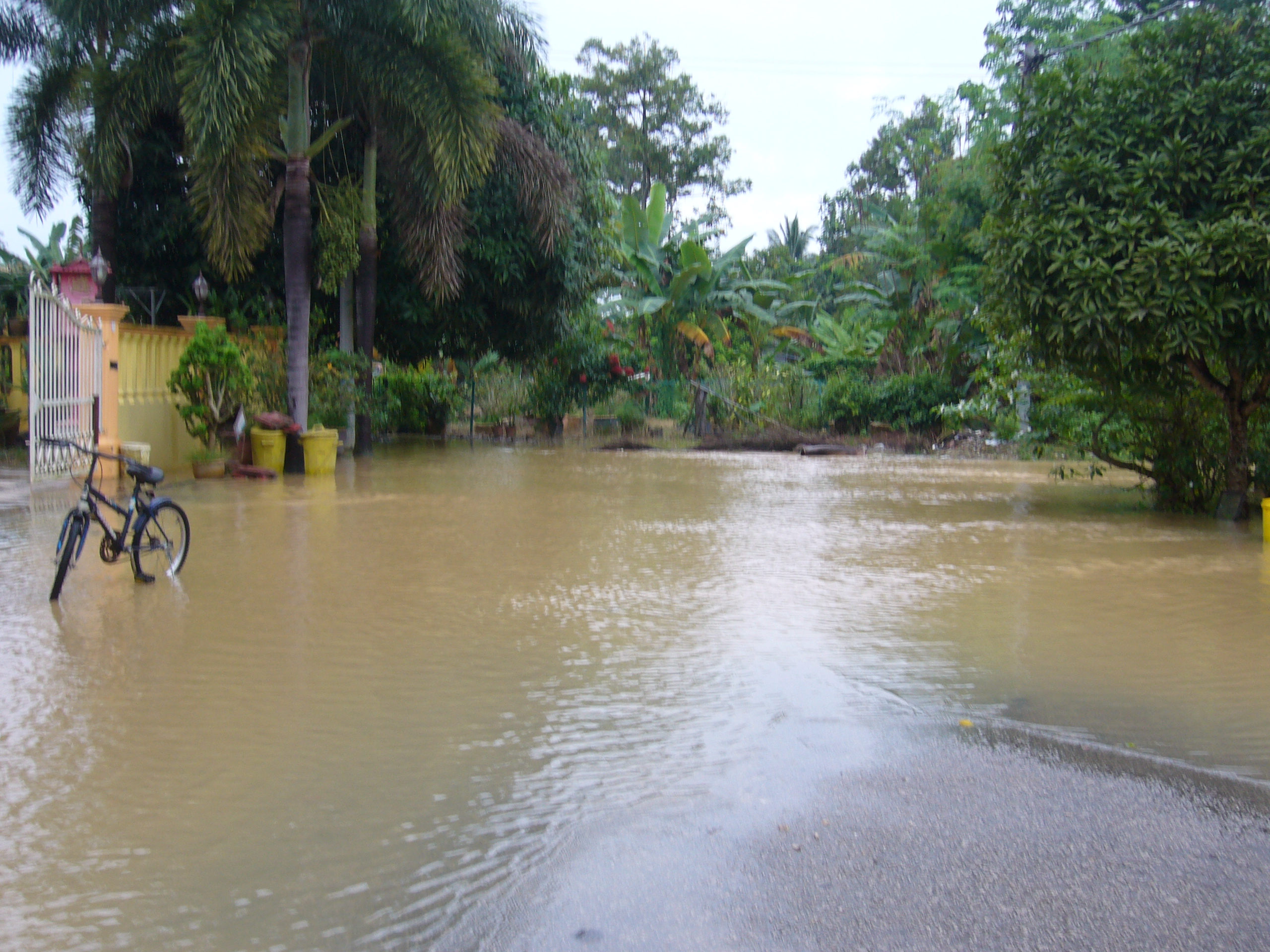
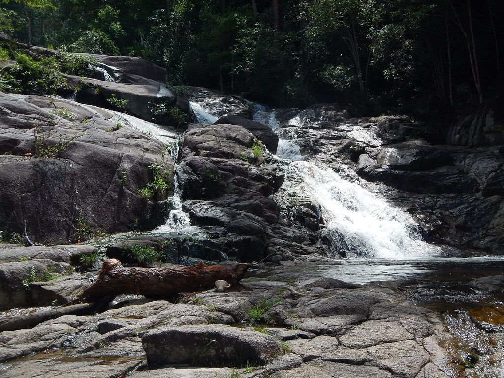
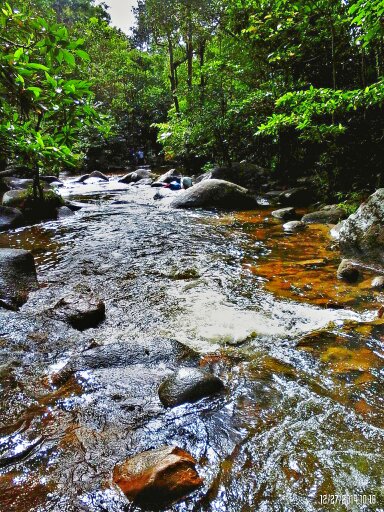
Related Photos:
You Were There.....

Peponi VII (Paradise)
_MG_5425.JPG

_MG_5426.JPG
Tiring~ #sunset #sky #cloud #evening
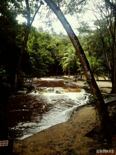
sagil waterfall, segamat

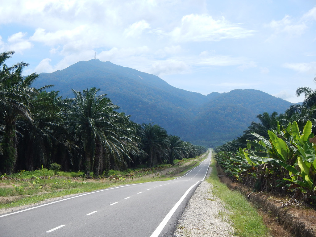
gunung ledang - malaysia

gunung ledang - malaysia
DSCN9892.JPG
gunung ledang - malaysia
Jalan Mawar 5
Gunung Ledang Resort
Taman Lagenda
Sun, 18.10.15 Bad haze in Johor. #HazyDaze #LumiaPhotography #Lumia1520 #Nban #Serom #Johor
DSCN9934.JPG
@Gunung Ledang Resort Waterfall
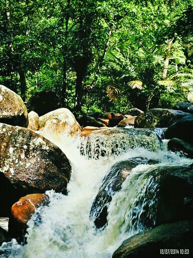
@Gunung Ledang Resort Waterfall

@Gunung Ledang Resort Waterfall
@Gunung Ledang Resort Waterfall
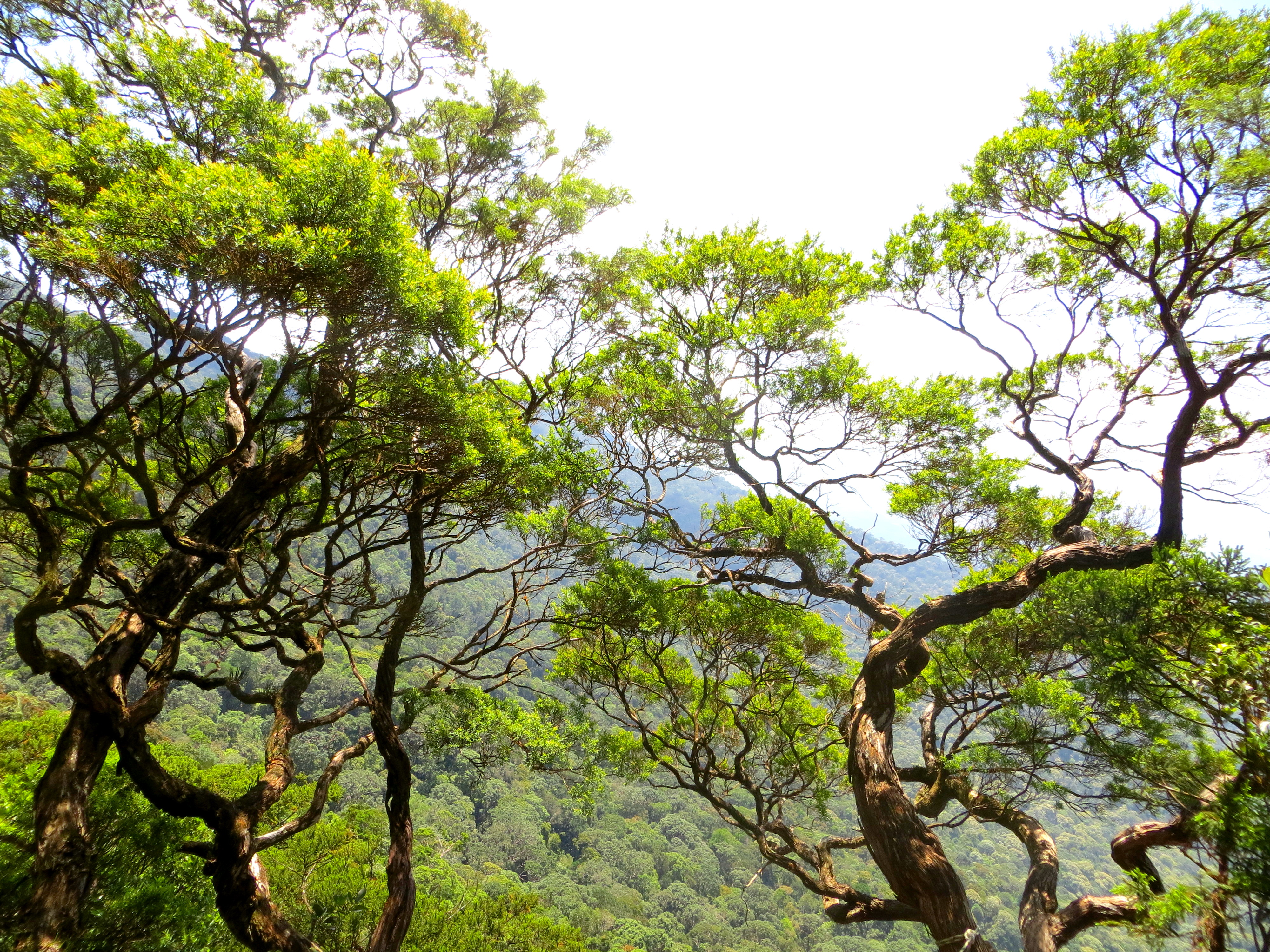
gunung ledang - malaysia
Topographic Map of Kampung Sawah Ring, Gerisek, Johor, Malaysia
Find elevation by address:

Places near Kampung Sawah Ring, Gerisek, Johor, Malaysia:
Kampung Sungai Ekor
Jalan Sengkang
Bukit Gambir
Kampung Sengkang Batu 18
Medan Selera Kampung Semandar, Gersik
Gerisek
Sengkang
Jalan Kampung Sungai Bilah
Parit Raja
Kampung Sengkang Batu 20
Kampung Seri Baka
Kampung Jawa
Kampung Parit Medan
Kampung Jawa
Kundang Ulu
Sk Kundang Ulu
Arshad Bin Ishak
Kampung Raja Pagoh
Jalan Pagoh Jaya
Taman Pagoh Jaya
Recent Searches:
- Elevation of Zu den Ihlowbergen, Althüttendorf, Germany
- Elevation of Badaber, Peshawar, Khyber Pakhtunkhwa, Pakistan
- Elevation of SE Heron Loop, Lincoln City, OR, USA
- Elevation of Slanický ostrov, 01 Námestovo, Slovakia
- Elevation of Spaceport America, Co Rd A, Truth or Consequences, NM, USA
- Elevation of Warwick, RI, USA
- Elevation of Fern Rd, Whitmore, CA, USA
- Elevation of 62 Abbey St, Marshfield, MA, USA
- Elevation of Fernwood, Bradenton, FL, USA
- Elevation of Felindre, Swansea SA5 7LU, UK