Elevation of Kampung Permata, Taman Sri Aman, Pontian, Johor, Malaysia
Location: Malaysia > Johor >
Longitude: 103.384172
Latitude: 1.5006589
Elevation: 6m / 20feet
Barometric Pressure: 101KPa
Elevation Map:
Satellite Map:
Related Photos:

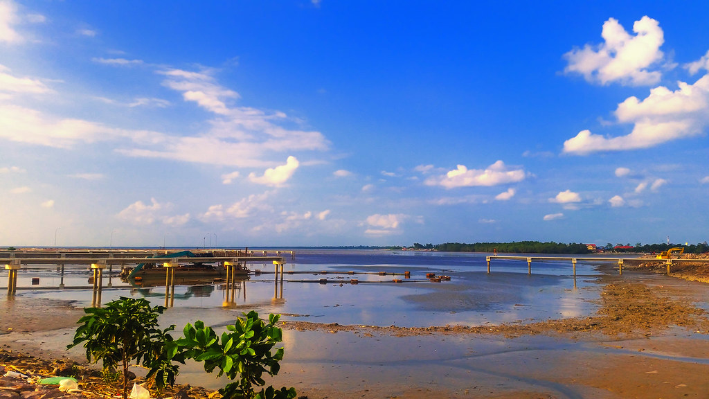
Blue reverie...

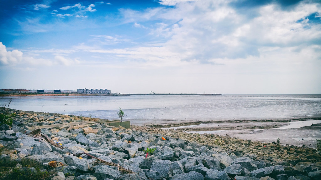
Cloudy with a chance of rain by the seaside off Dataran Pontian.

Sunset at Pontain Waterfront

Sunset @ Pontian Seaside 02

Pontian-DSC09688

Sunset @ Pontian Seaside.
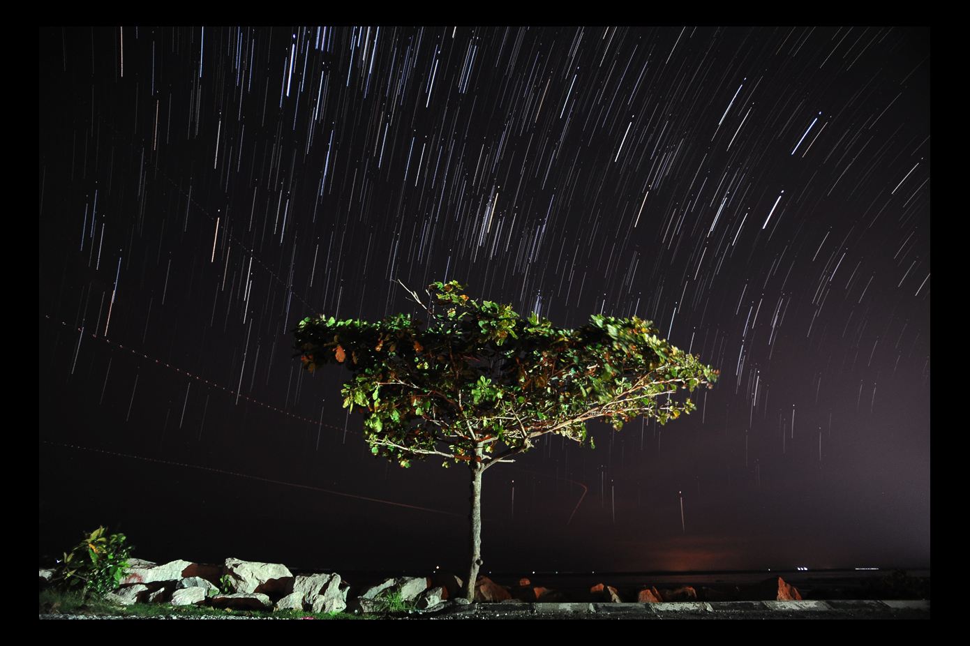
My very 1st Star @ Taman Rekreasi Sungai Rambah
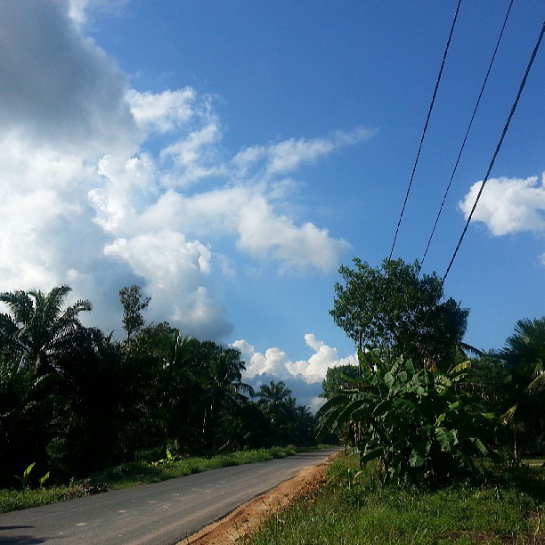
Tenggayun, Pontian

Pontian Sunset
Pontian, Malaysia
Pontian, Malaysia

Pontian, Malaysia
Topographic Map of Kampung Permata, Taman Sri Aman, Pontian, Johor, Malaysia
Find elevation by address:

Places near Kampung Permata, Taman Sri Aman, Pontian, Johor, Malaysia:
Taman Megah
Taman Desa Sri Pontian
Lorong Mas Merah
Jalan Osman
Pontian
Jalan Teo Kang Sui
Pontian District
Kampung Parit Lapis
Taman Mawar
Taman Rakyat
Taman Cahaya
Masjid Jamik Parit Tasrif
Petronas - Permas Small, Pontian
Chop Sin Huat Agency Sdn. Bhd.
Taman Bakek Jaya
Public Gold Pontian
Jalan Cahaya 2
Pontian Kecil
Kampung Duku
Taman Suraya Indah
Recent Searches:
- Elevation of Hercules Dr, Colorado Springs, CO, USA
- Elevation of Szlak pieszy czarny, Poland
- Elevation of Griffing Blvd, Biscayne Park, FL, USA
- Elevation of Kreuzburger Weg 13, Düsseldorf, Germany
- Elevation of Gateway Blvd SE, Canton, OH, USA
- Elevation of East W.T. Harris Boulevard, E W.T. Harris Blvd, Charlotte, NC, USA
- Elevation of West Sugar Creek, Charlotte, NC, USA
- Elevation of Wayland, NY, USA
- Elevation of Steadfast Ct, Daphne, AL, USA
- Elevation of Lagasgasan, X+CQH, Tiaong, Quezon, Philippines