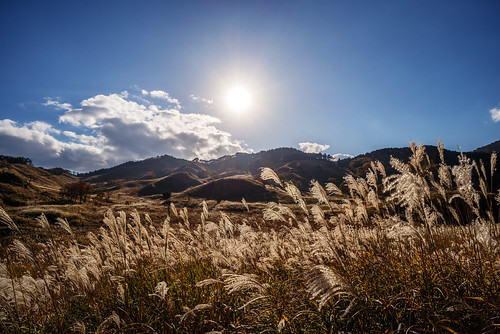
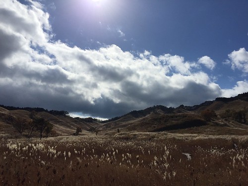
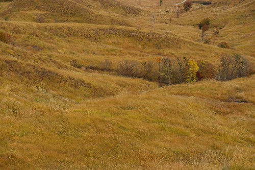
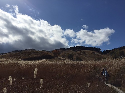
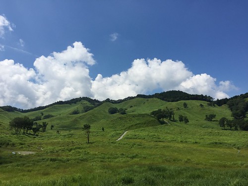
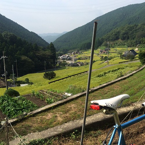
Elevation of Kamikawa, Kanzaki District, Hyogo Prefecture, Japan
Location: Japan > Hyogo Prefecture > Kanzaki District >
Longitude: 134.739830
Latitude: 35.0642263
Elevation: 149m / 489feet
Barometric Pressure: 100KPa
Related Photos:
Topographic Map of Kamikawa, Kanzaki District, Hyogo Prefecture, Japan
Find elevation by address:

Places in Kamikawa, Kanzaki District, Hyogo Prefecture, Japan:
Ōyama, Kamikawa-chō, Kanzaki-gun, Hyōgo-ken -, Japan
Fukumoto, Kamikawa-chō, Kanzaki-gun, Hyōgo-ken -, Japan
Places near Kamikawa, Kanzaki District, Hyogo Prefecture, Japan:
142-9 Kaji
Teramae Station
-4 Sawa, Ichikawa-chō, Kanzaki-gun, Hyōgo-ken -, Japan
Fukumoto, Kamikawa-chō, Kanzaki-gun, Hyōgo-ken -, Japan
Yakata, Ichikawa-chō, Kanzaki-gun, Hyōgo-ken -, Japan
Kanzaki District
Obata, Ichikawa-chō, Kanzaki-gun, Hyōgo-ken -, Japan
Ōyama, Kamikawa-chō, Kanzaki-gun, Hyōgo-ken -, Japan
Ichikawa
Taguchi, Fukusaki-chō, Kanzaki-gun, Hyōgo-ken -, Japan
Shimoushio, Ichikawa-chō, Kanzaki-gun, Hyōgo-ken -, Japan
Kamiushio, Ichikawa-chō, Kanzaki-gun, Hyōgo-ken -, Japan
Shimoseka, Ichikawa-chō, Kanzaki-gun, Hyōgo-ken -, Japan
Kamiseka, Ichikawa-chō, Kanzaki-gun, Hyōgo-ken -, Japan
Kamimanganjichō, Kasai-shi, Hyōgo-ken -, Japan
Kamiketachō, Kasai-shi, Hyōgo-ken -, Japan
Taka District
Kamiku Toyobe, Taka-chō, Taka-gun, Hyōgo-ken -, Japan
Taka
Nishiwaki
Recent Searches:
- Elevation of Slanický ostrov, 01 Námestovo, Slovakia
- Elevation of Spaceport America, Co Rd A, Truth or Consequences, NM, USA
- Elevation of Warwick, RI, USA
- Elevation of Fern Rd, Whitmore, CA, USA
- Elevation of 62 Abbey St, Marshfield, MA, USA
- Elevation of Fernwood, Bradenton, FL, USA
- Elevation of Felindre, Swansea SA5 7LU, UK
- Elevation of Leyte Industrial Development Estate, Isabel, Leyte, Philippines
- Elevation of W Granada St, Tampa, FL, USA
- Elevation of Pykes Down, Ivybridge PL21 0BY, UK
