Elevation of Kamachimae-26 Tetaru, Matsushima-machi, Miyagi-gun, Miyagi-ken -, Japan
Location: Japan > Miyagi Prefecture > Miyagi District > Matsushima >
Longitude: 141.101019
Latitude: 38.3906668
Elevation: 6m / 20feet
Barometric Pressure: 101KPa
Elevation Map:
Satellite Map:
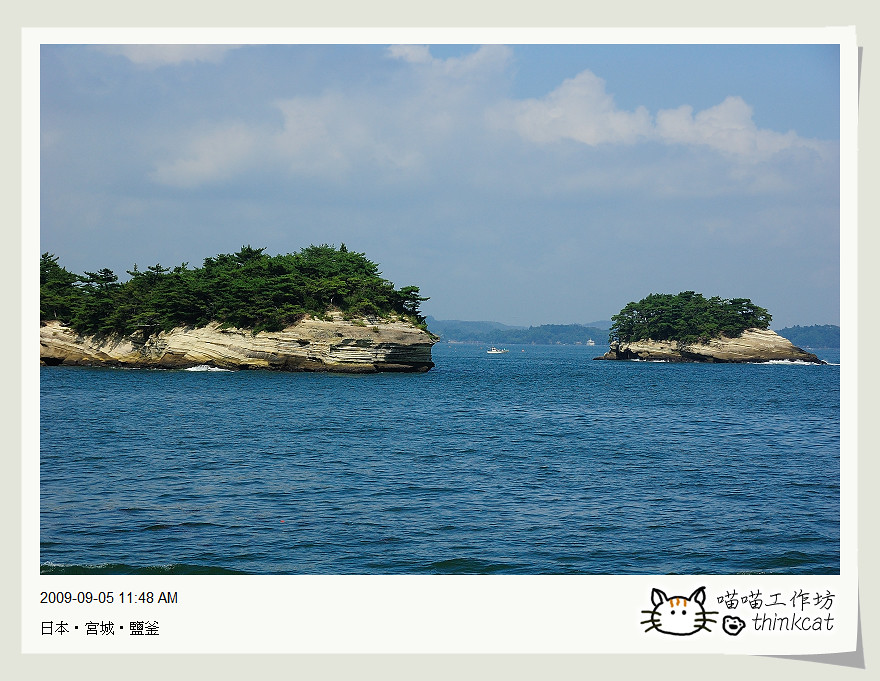
Related Photos:

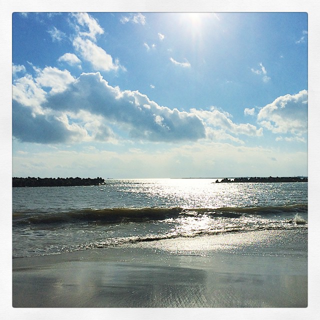
#matsushima #island #japan #view #sunset #stifanibrothers

松島や、ああ松島や、松島や
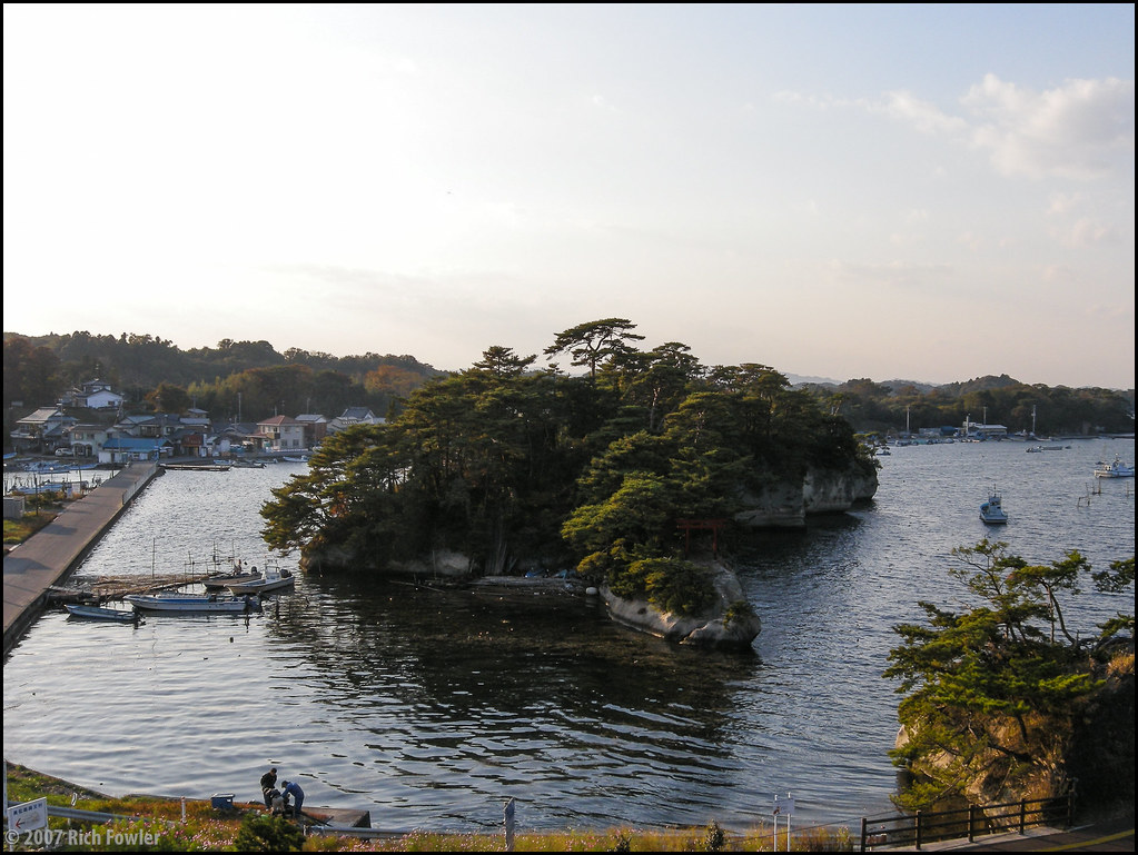
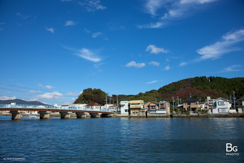
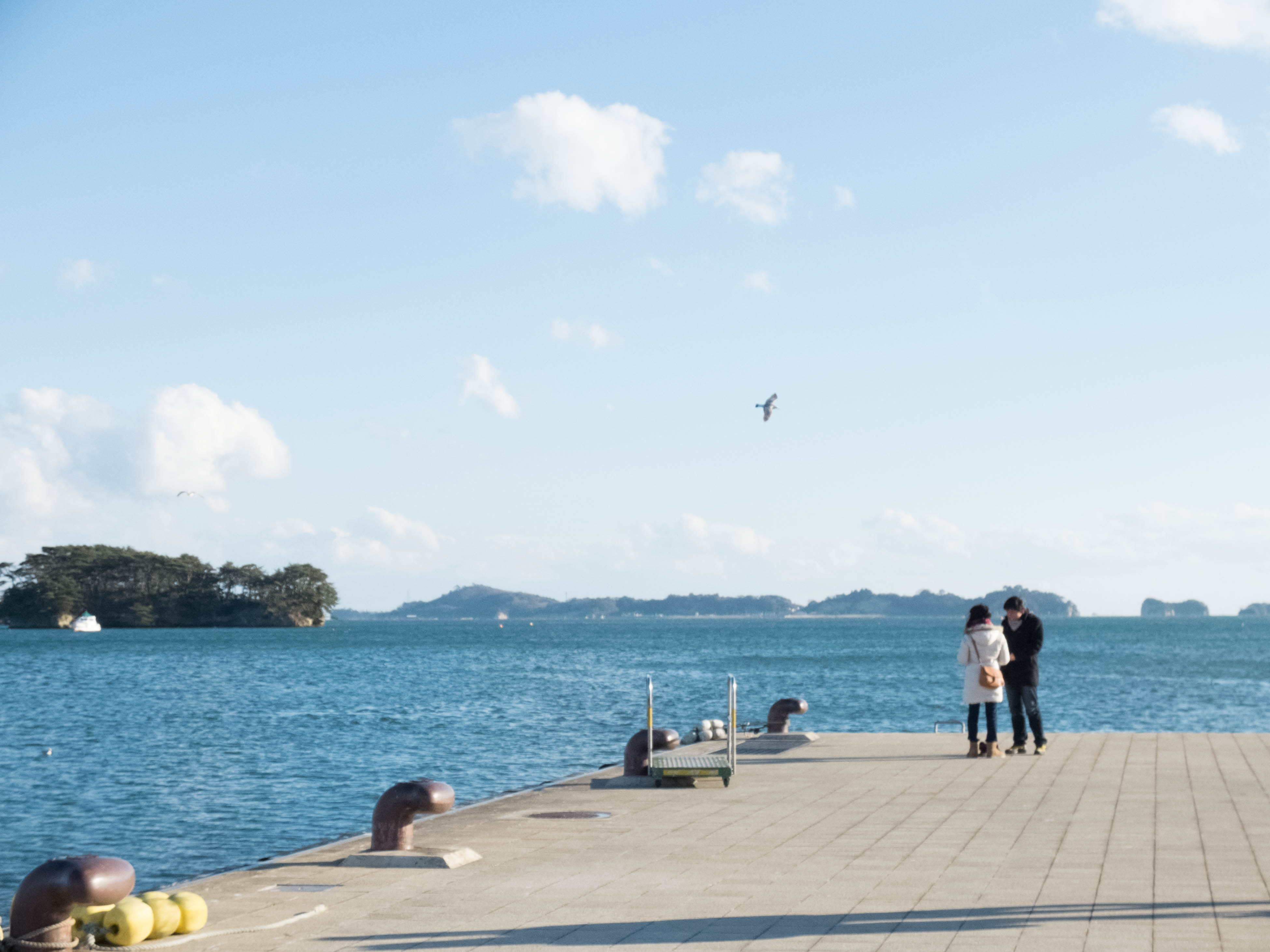
Matsushima Harbor
View from the Bridge Part Two

A DAY AT SENDAI
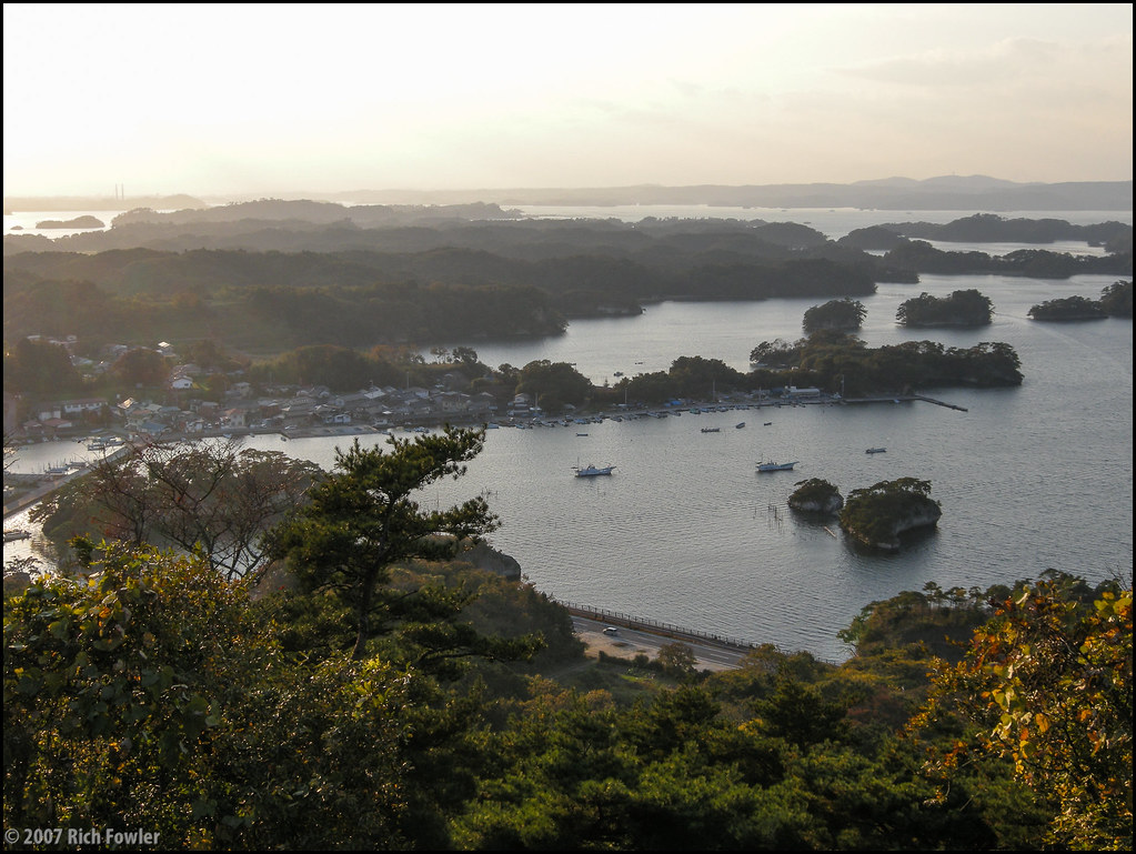
Matsushima (6)
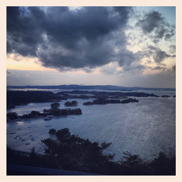
Japan12_1731 panorama
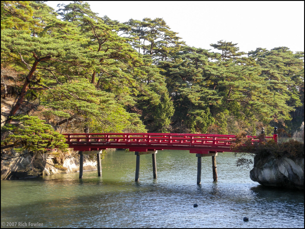
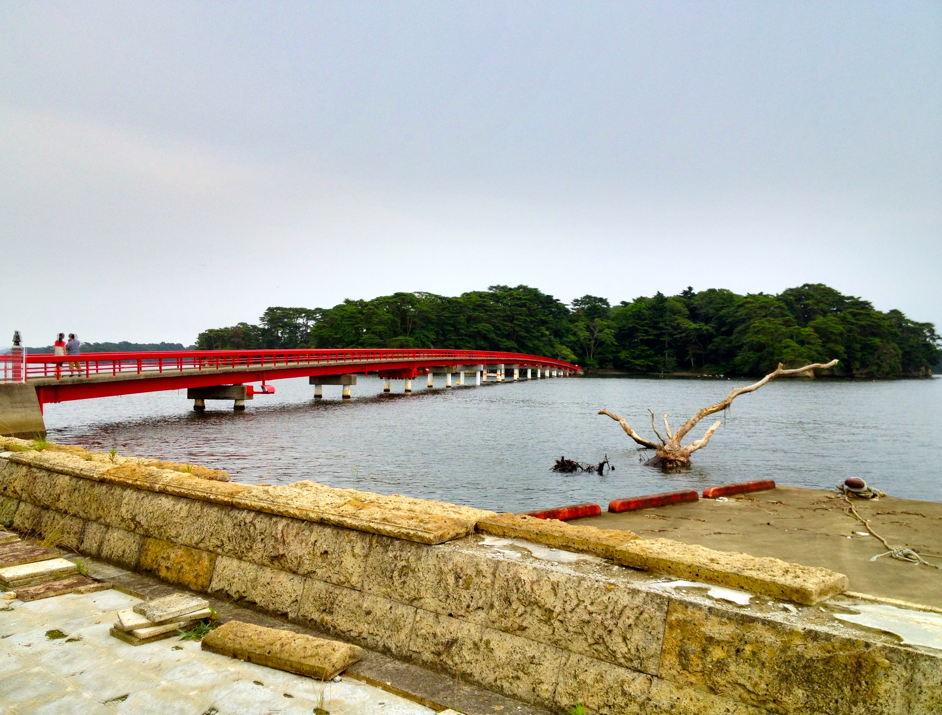
Bridge to Oshima
IMG_0679.JPG
Matsushima (5)
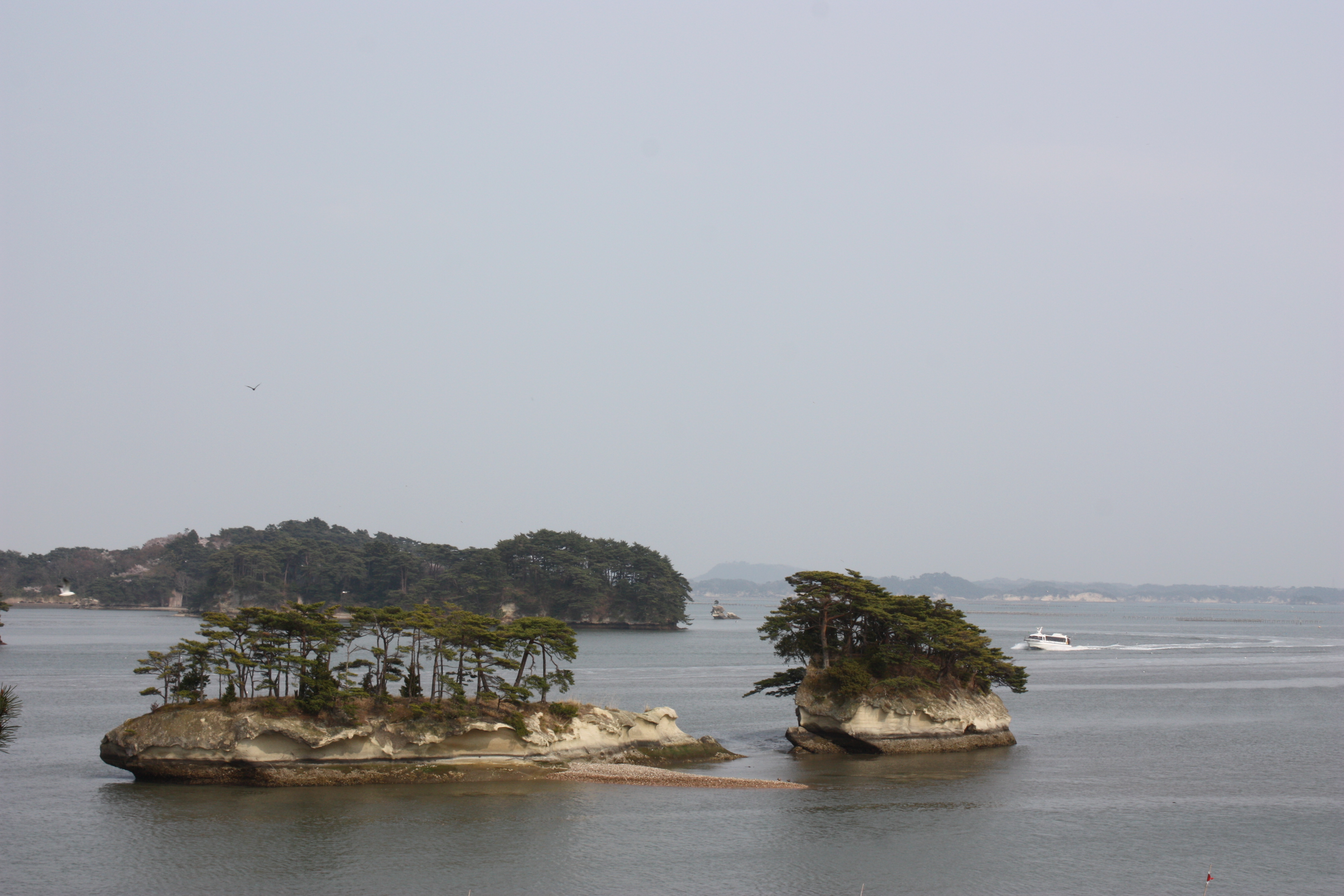
Matsushima (2)
IMG_0683.JPG
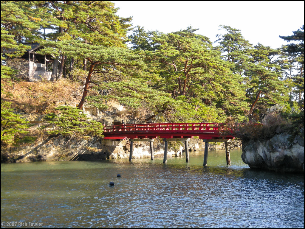
Bridge to Oshima
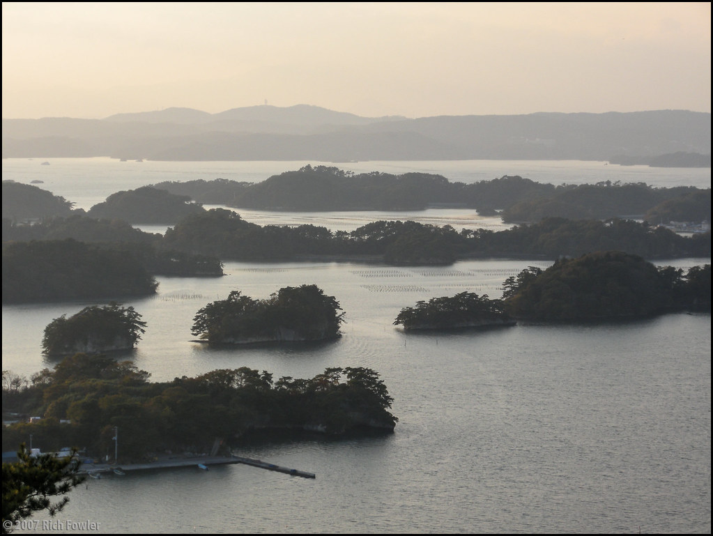
The Magnificent View
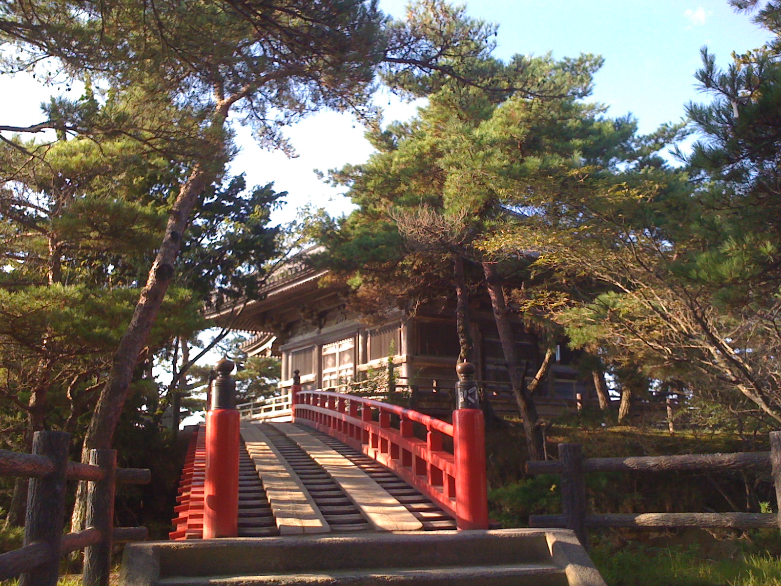
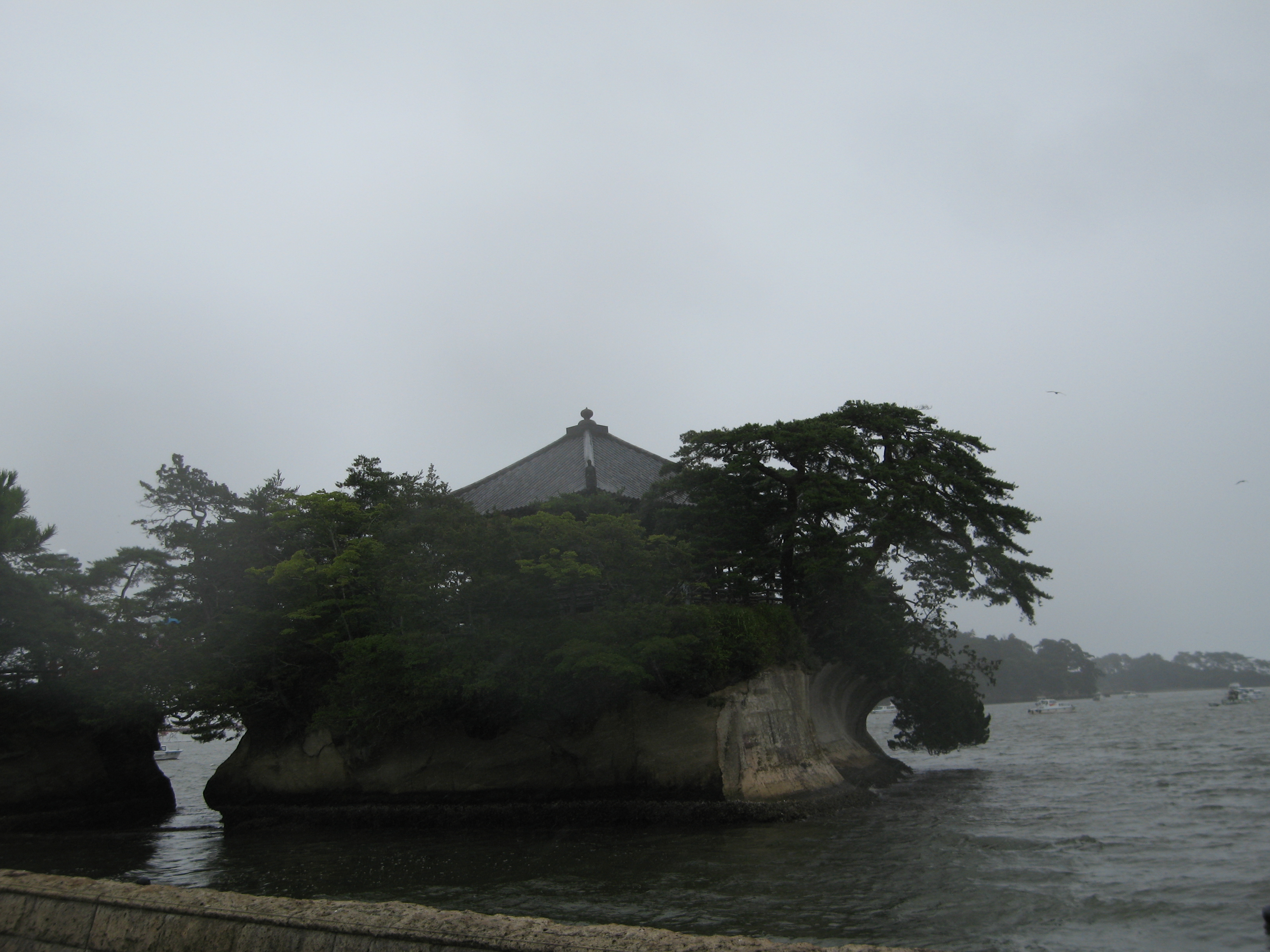
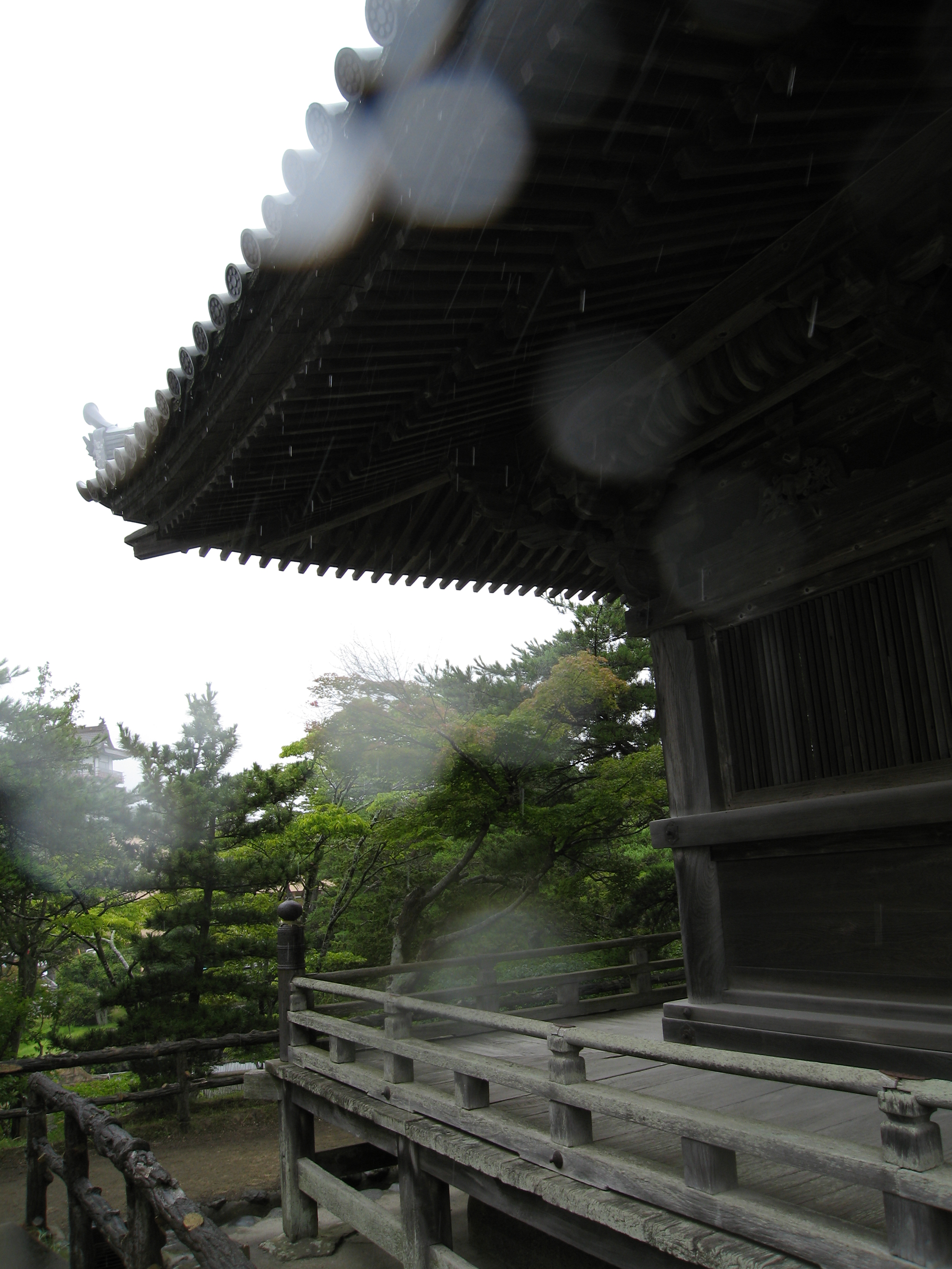
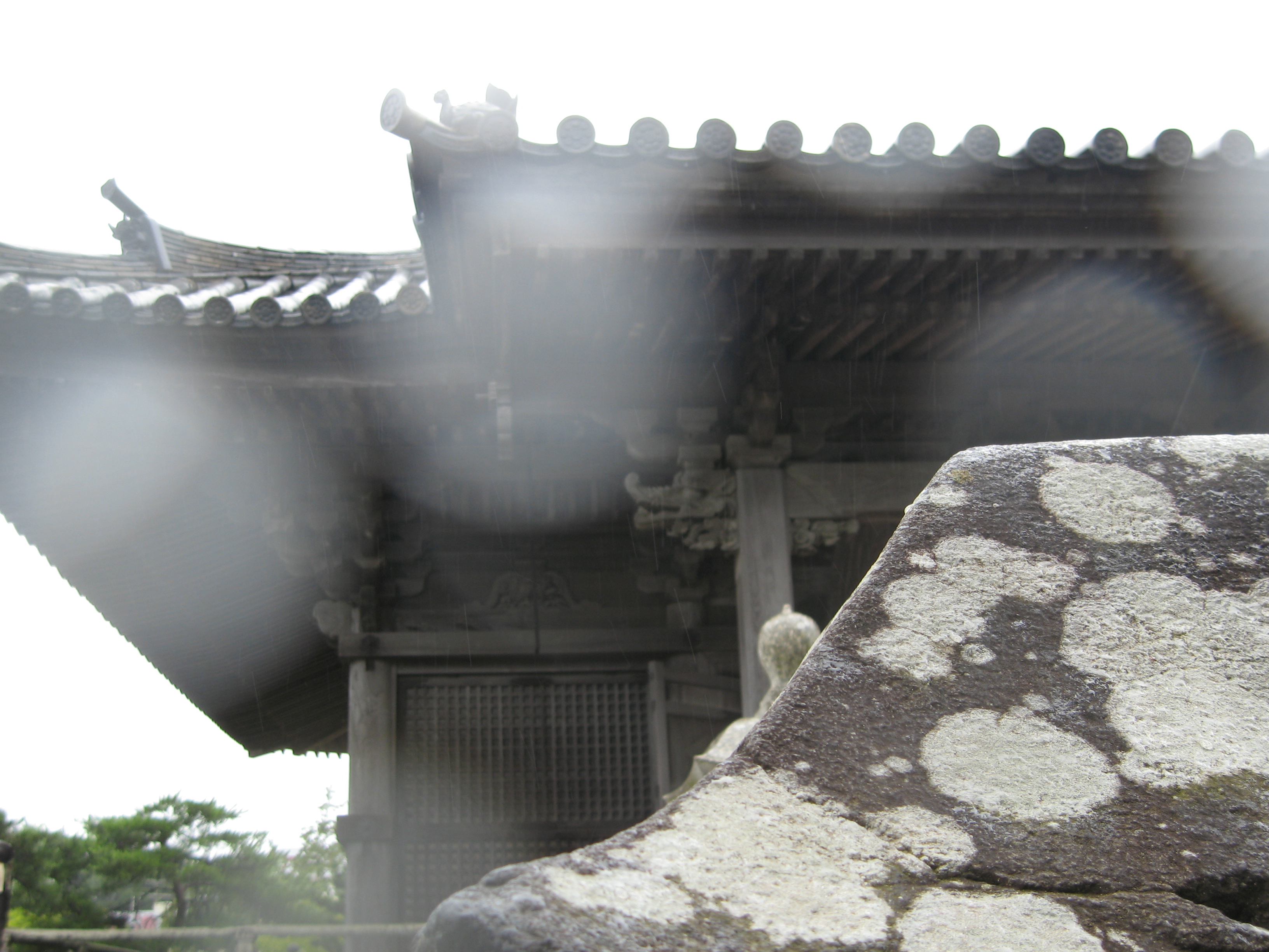
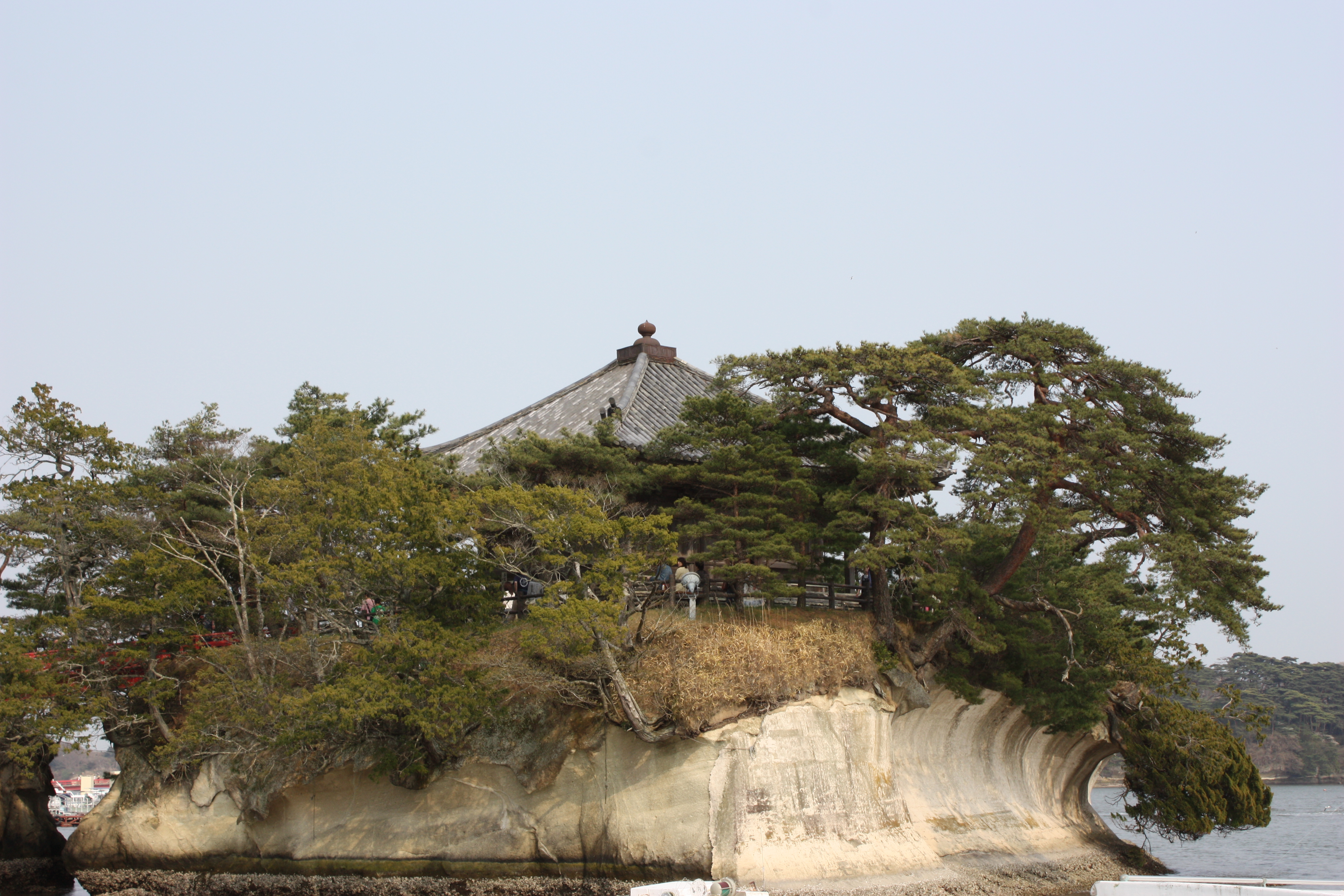
Matsushima Godaido 松島五大堂
IMG_0687.JPG
Climbing Otakamori
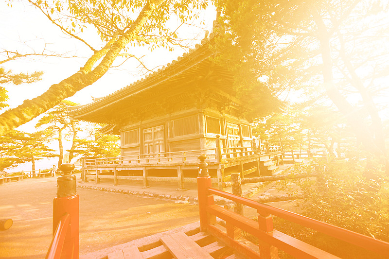
Godaido Temple, Matsushima Bay, Japan
The Magnificent View
Matsushima (7)
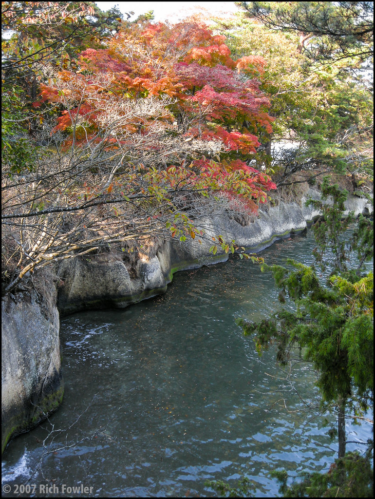
River View :: Ishinomaki Shi (石卷市), Japan
Untitled.
Day 70/365

full moon over matsushima . japan
Day 237/365

Day 69/365

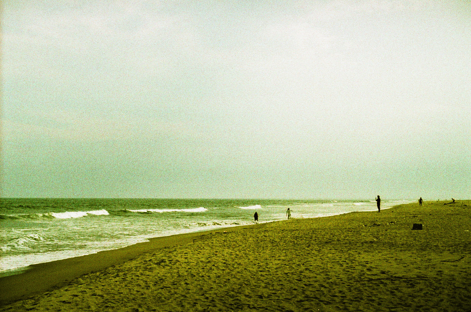
野蒜海岸
松島なう

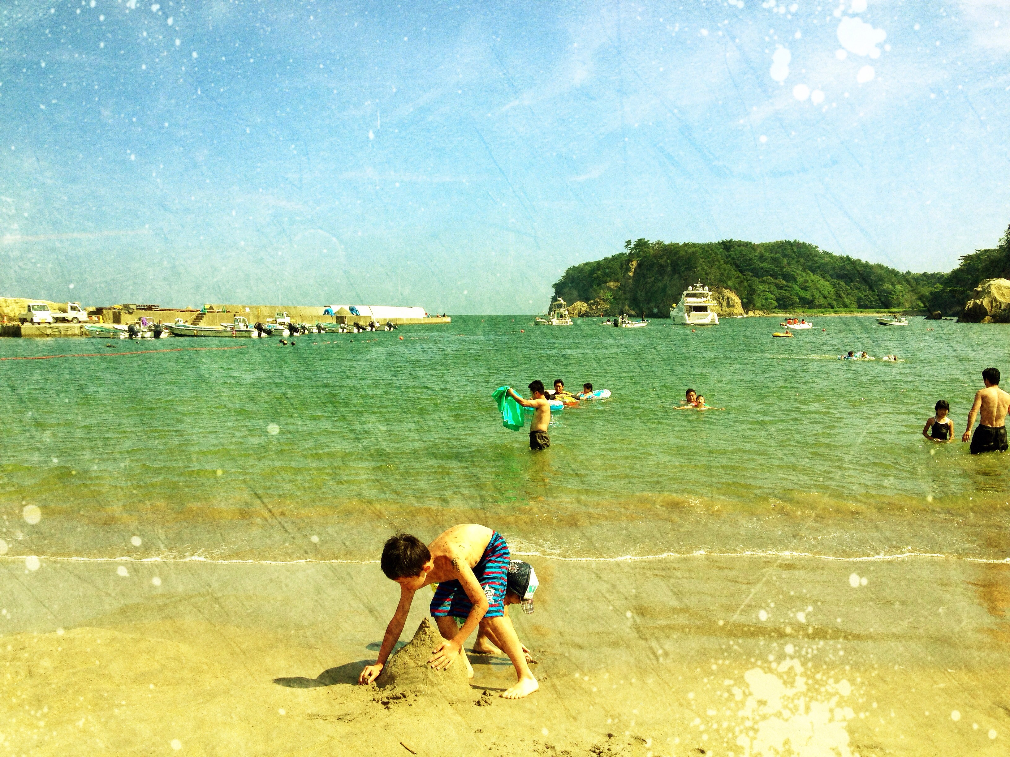
At 松島 島巡り観光船

2015.01.03 SendaiShinkou
DSC04277.jpg
雨が降ったりみぞれが降ったり風が強かったり快晴だったり寒かったりの中での撮影だった( ;´Д`) #sea #sky #blue #ishinomaki #beach #MostlySunny #japan #海 #青空 #石巻 #快晴

棒……?
red bridge
DSC04275.jpg

2014.01.01 Shichigahama
DSC04274.jpg
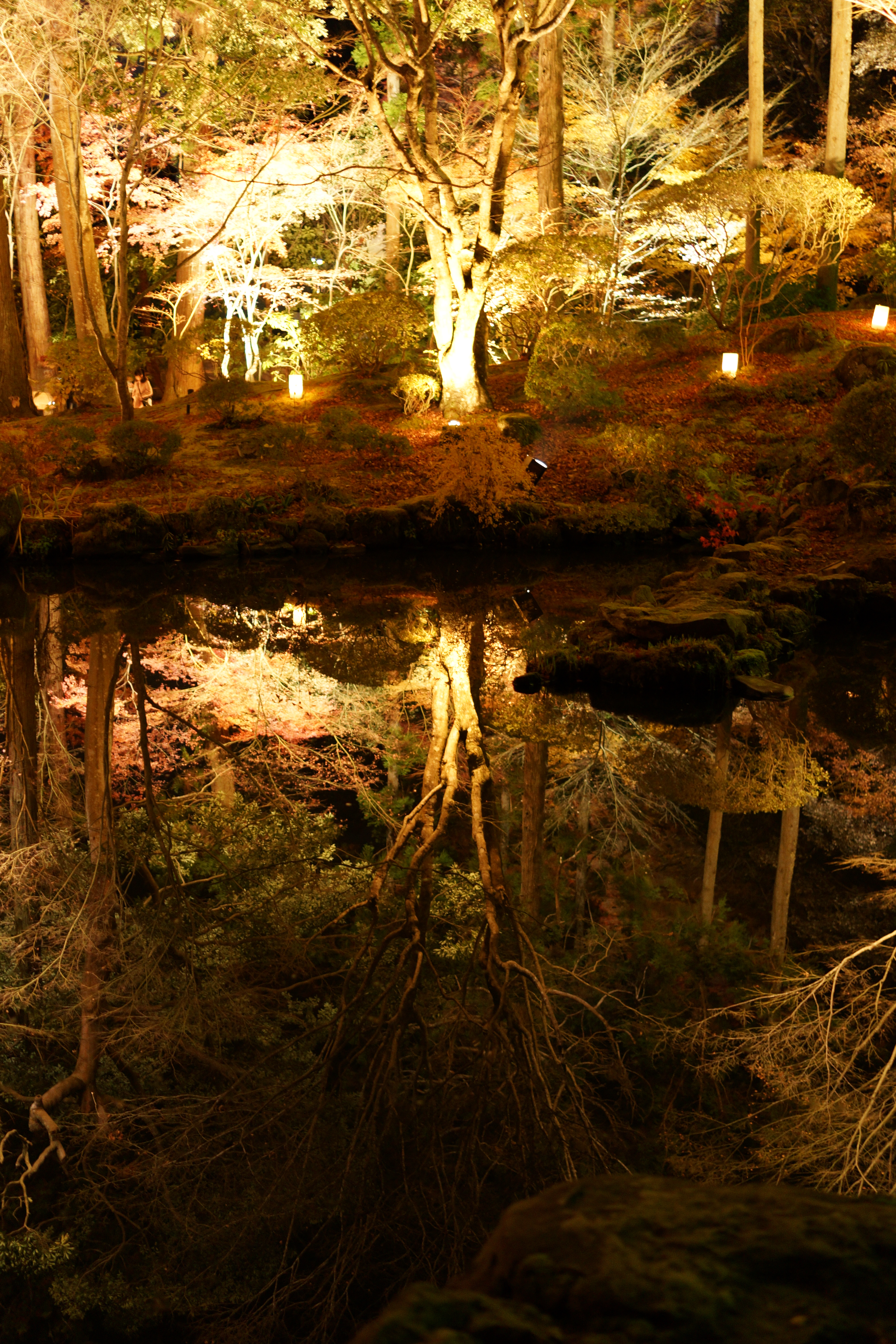
Oshima--Fall Colors
DSC_0991.jpg
Zuigan-ji
Topographic Map of Kamachimae-26 Tetaru, Matsushima-machi, Miyagi-gun, Miyagi-ken -, Japan
Find elevation by address:

Places near Kamachimae-26 Tetaru, Matsushima-machi, Miyagi-gun, Miyagi-ken -, Japan:
Dōdenichi-34 Takagi, Matsushima-machi, Miyagi-gun, Miyagi-ken -, Japan
Matsushima
Komoriichi-1 Takagi, Matsushima-machi, Miyagi-gun, Miyagi-ken -, Japan
Tōna-87 Ōtsuka, Higashimatsushima-shi, Miyagi-ken -, Japan
Shimotōgaimatsu-29 Nishifukuda, Higashimatsushima-shi, Miyagi-ken -, Japan
Dōnoyama-99 Nishifukuda, Higashimatsushima-shi, Miyagi-ken -, Japan
Miyagi District
Taruta-15 Akanuma, Rifu-chō, Miyagi-gun, Miyagi-ken -, Japan
Harashita-15 Miake, Ōsato-chō, Kurokawa-gun, Miyagi-ken -, Japan
Kamisawame-4 Yamoto, Higashimatsushima-shi, Miyagi-ken -, Japan
Terasawa-21 Kashimadaiōbasama, Ōsaki-shi, Miyagi-ken -, Japan
Torinosu-7 Ōshio, Higashimatsushima-shi, Miyagi-ken -, Japan
3 Chome-7-16 Shōyōdai, Shiogama-shi, Miyagi-ken -, Japan
Maehasama-31 Kashimadaikimazuka, Ōsaki-shi, Miyagi-ken -, Japan
Osato
Tatenuma-25 Yamoto, Higashimatsushima-shi, Miyagi-ken -, Japan
Tatemae-15 Komatsu, Higashimatsushima-shi, Miyagi-ken -, Japan
Higashimatsushima
Uchinomeminami-56 Morigō, Rifu-chō, Miyagi-gun, Miyagi-ken -, Japan
Tawaraniwayon-51 Kitamura, Ishinomaki-shi, Miyagi-ken -, Japan
Recent Searches:
- Elevation of Leguwa, Nepal
- Elevation of County Rd, Enterprise, AL, USA
- Elevation of Kolchuginsky District, Vladimir Oblast, Russia
- Elevation of Shustino, Vladimir Oblast, Russia
- Elevation of Lampiasi St, Sarasota, FL, USA
- Elevation of Elwyn Dr, Roanoke Rapids, NC, USA
- Elevation of Congressional Dr, Stevensville, MD, USA
- Elevation of Bellview Rd, McLean, VA, USA
- Elevation of Stage Island Rd, Chatham, MA, USA
- Elevation of Shibuya Scramble Crossing, 21 Udagawacho, Shibuya City, Tokyo -, Japan