Elevation of Kalyangad, Sri Parshwanath Jain Cave Temple Rd, Dhumalwadi, Maharashtra, India
Location: India > Maharashtra > Satara > Dhumalwadi >
Longitude: 74.1267487
Latitude: 17.7790961
Elevation: 1042m / 3419feet
Barometric Pressure: 89KPa
Elevation Map:
Satellite Map:
Related Photos:

Untitled-1
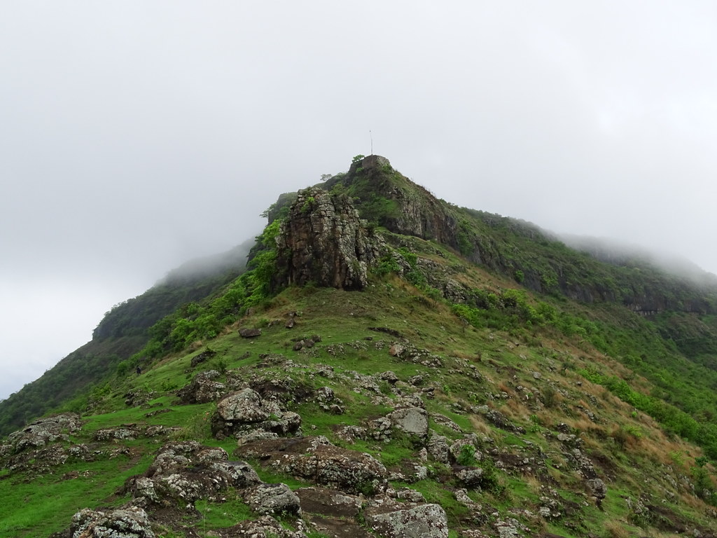
Vandan fort

कास पठार,सातारा.
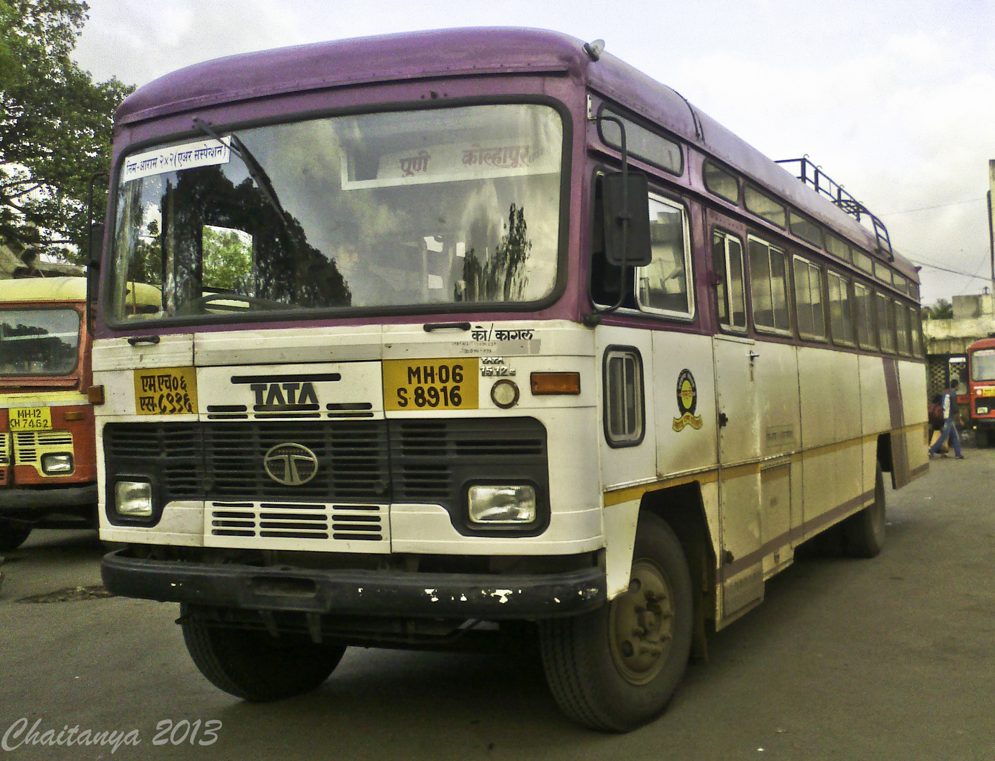
Pune - Kagal

Design 2016.5.25.6

With my inlaw's farm
Pusesavali - Parel

18022010(030)

DSC00027 copy1 copy.jpg

pics upload

Day 1: Breakfast point

Day 1: Breakfast point

Day 1: Breakfast point

Moments before rain..

Monsoon incoming.....
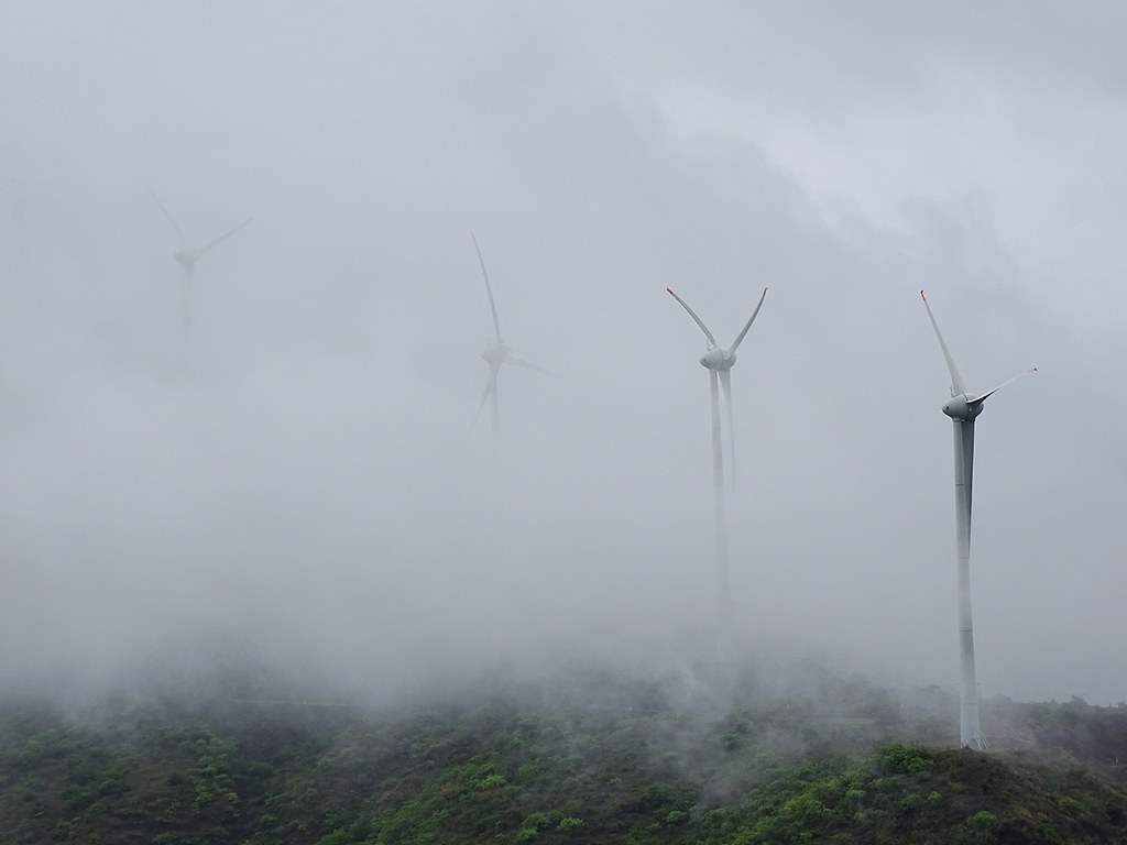
Windmills of God

Design 2016.5.25.7

Abstract 2016.5.25.7

Amazing Circles 2016.5.25.6

Amazing Circles 2016.5.25.7

Abstract 2016.5.25.5

Amazing Circles 2016.5.25.5

Reflection 2016.5.25.5
Topographic Map of Kalyangad, Sri Parshwanath Jain Cave Temple Rd, Dhumalwadi, Maharashtra, India
Find elevation by address:

Places near Kalyangad, Sri Parshwanath Jain Cave Temple Rd, Dhumalwadi, Maharashtra, India:
Nandgiri Fort
Tambi
Dhumalwadi
Kinhai
Gujarwadi
Khandobachi Wadi
Banawadi
Taliye
Kholvadi
Wathar
Anpatwadi
Govedigar
Limb
Limb Satara Road
Lagadwadi
Kalangwadi
Maparwadi
Nikamwadi
Wagholi
Nagewadi
Recent Searches:
- Elevation of Leguwa, Nepal
- Elevation of County Rd, Enterprise, AL, USA
- Elevation of Kolchuginsky District, Vladimir Oblast, Russia
- Elevation of Shustino, Vladimir Oblast, Russia
- Elevation of Lampiasi St, Sarasota, FL, USA
- Elevation of Elwyn Dr, Roanoke Rapids, NC, USA
- Elevation of Congressional Dr, Stevensville, MD, USA
- Elevation of Bellview Rd, McLean, VA, USA
- Elevation of Stage Island Rd, Chatham, MA, USA
- Elevation of Shibuya Scramble Crossing, 21 Udagawacho, Shibuya City, Tokyo -, Japan