Elevation of Kalilangan, Bukidnon, Philippines
Location: Philippines > Northern Mindanao > Bukidnon >
Longitude: 124.751980
Latitude: 7.7739339
Elevation: 526m / 1726feet
Barometric Pressure: 95KPa
Elevation Map:
Satellite Map:
Related Photos:

nature.
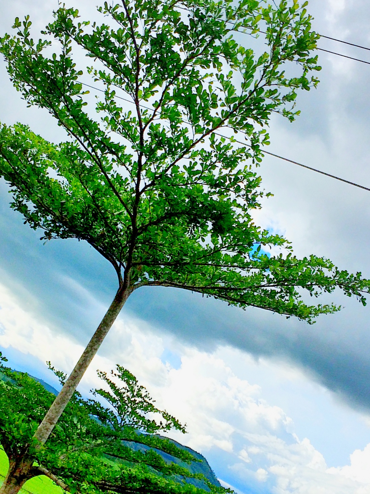
Getting close to #nature. #weekend #travel #peaceful

THE FAME - ANTHURIUM
Topographic Map of Kalilangan, Bukidnon, Philippines
Find elevation by address:

Places in Kalilangan, Bukidnon, Philippines:
Places near Kalilangan, Bukidnon, Philippines:
Canituan
Maca-opao
Bukidnon - Wao Road
Langcataon National High School
Lumagwas Diversified Farmers Multi-purpose Cooperative
Poblacion
Pangantucan
Mapait
Wao
Bacusanon
Don Carlos
Portulin
Langcataon
Deped Pangantucan South District Office
Portulin Elementary School
Kalatungan Mountains
Dominorog
Maramag
Miarayon
Mount Ragang
Recent Searches:
- Elevation of Zimmer Trail, Pennsylvania, USA
- Elevation of 87 Kilmartin Ave, Bristol, CT, USA
- Elevation of Honghe National Nature Reserve, QP95+PJP, Tongjiang, Heilongjiang, Jiamusi, Heilongjiang, China
- Elevation of Hercules Dr, Colorado Springs, CO, USA
- Elevation of Szlak pieszy czarny, Poland
- Elevation of Griffing Blvd, Biscayne Park, FL, USA
- Elevation of Kreuzburger Weg 13, Düsseldorf, Germany
- Elevation of Gateway Blvd SE, Canton, OH, USA
- Elevation of East W.T. Harris Boulevard, E W.T. Harris Blvd, Charlotte, NC, USA
- Elevation of West Sugar Creek, Charlotte, NC, USA