Elevation of Kalfjellet, Bindal, Norway
Location: Norway >
Longitude: 12.3987565
Latitude: 65.2437404
Elevation: 169m / 554feet
Barometric Pressure: 99KPa
Elevation Map:
Satellite Map:
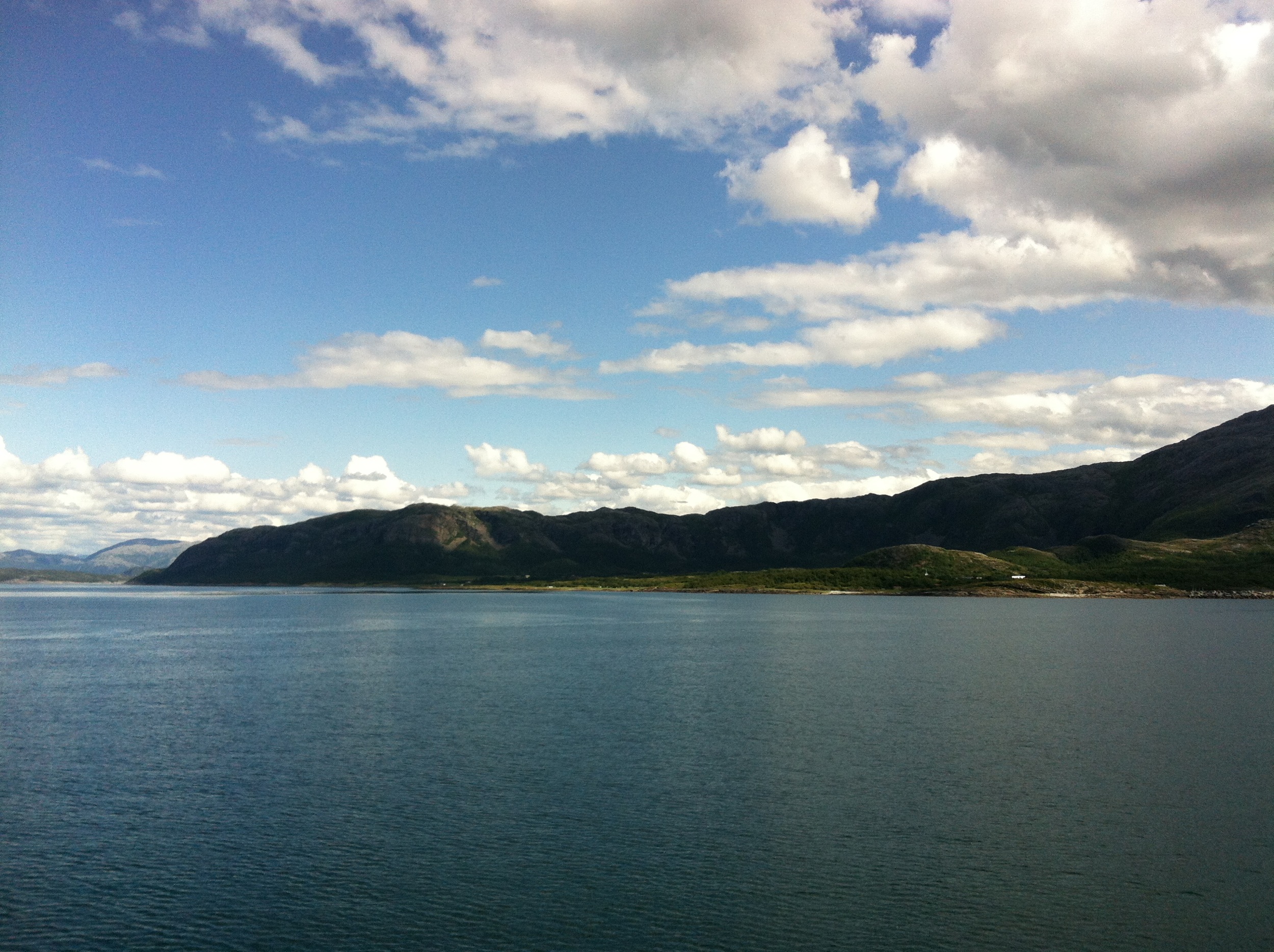
Related Photos:

From my point of view - on a rainy day

Mountain trip

Hopp og sprett
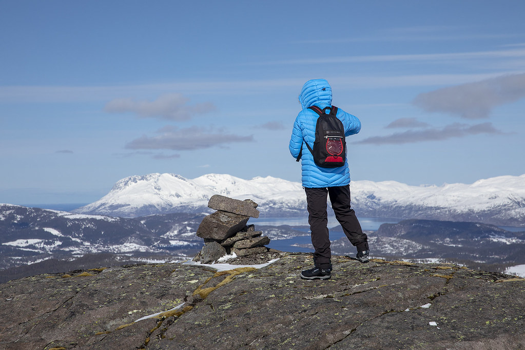
Ski trip Sausfjellet

Good morning Bindal

Holm Ferryport

Smiley variations
Aufnahmen-1537

Trondheim - Brønnøysund

Light from above

Warten auf die Fähre nach Vennesund #NisiOnTour #Norge
Topographic Map of Kalfjellet, Bindal, Norway
Find elevation by address:

Places near Kalfjellet, Bindal, Norway:
Brønnøysund
Brønnøy
Fv 20, Visthus, Norway
Fv, Tjøtta, Norway
Fv, Tjøtta, Norway
Kaldberghaugveien 6, Tjøtta, Norway
Fv17 30, Sandnessjøen, Norway
Alstahaug
Vega Municipality
Recent Searches:
- Elevation of Beall Road, Beall Rd, Florida, USA
- Elevation of Leguwa, Nepal
- Elevation of County Rd, Enterprise, AL, USA
- Elevation of Kolchuginsky District, Vladimir Oblast, Russia
- Elevation of Shustino, Vladimir Oblast, Russia
- Elevation of Lampiasi St, Sarasota, FL, USA
- Elevation of Elwyn Dr, Roanoke Rapids, NC, USA
- Elevation of Congressional Dr, Stevensville, MD, USA
- Elevation of Bellview Rd, McLean, VA, USA
- Elevation of Stage Island Rd, Chatham, MA, USA