Elevation map of Kalahari District Council, South Africa
Location: South Africa > Northern Cape >
Longitude: 23.1918021
Latitude: -27.221038
Elevation: 1163m / 3816feet
Barometric Pressure: 88KPa
Elevation Map:
Satellite Map:
Related Photos:

1997 02 w transvaal

1997 02b w transvaal
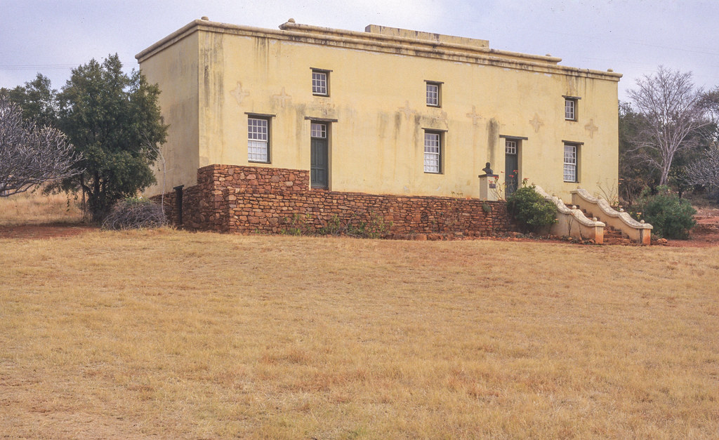
paul kruger museum near rustenburg

1997 02a w transvaal
Topographic Map of Kalahari District Council, South Africa
Find elevation by address:

Places in Kalahari District Council, South Africa:
Places near Kalahari District Council, South Africa:
Kuruman
Sishen Mine
Kathu
Sishen
Dingle
Gamagara Road
Gamagara Road
Olifantshoek Municipal Offices
Olifantshoek Magistrate Court
Olifantshoek
Olifantshoek
Recent Searches:
- Elevation of Lytham Ln, Katy, TX, USA
- Elevation of Tater Hill, Oklahoma, USA
- Elevation of NY-, Friendship, NY, USA
- Elevation of 64 Danakas Dr, Winnipeg, MB R2C 5N7, Canada
- Elevation of 4 Vale Rd, Sheffield S3 9QX, UK
- Elevation of Keene Point Drive, Keene Point Dr, Grant, AL, USA
- Elevation of State St, Zanesville, OH, USA
- Elevation of Austin Stone Dr, Haslet, TX, USA
- Elevation of Bydgoszcz, Poland
- Elevation of Bydgoszcz, Poland