Elevation of Kakinada, Andhra Pradesh, India
Location: India > Andhra Pradesh > East Godavari >
Longitude: 82.2474648
Latitude: 16.9890648
Elevation: 7m / 23feet
Barometric Pressure: 101KPa
Elevation Map:
Satellite Map:
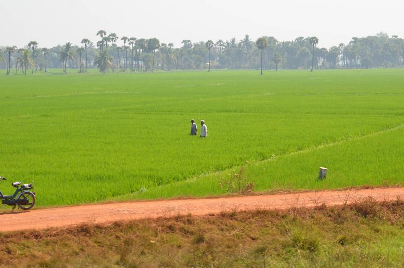
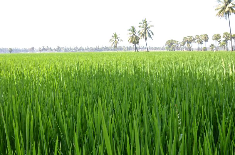
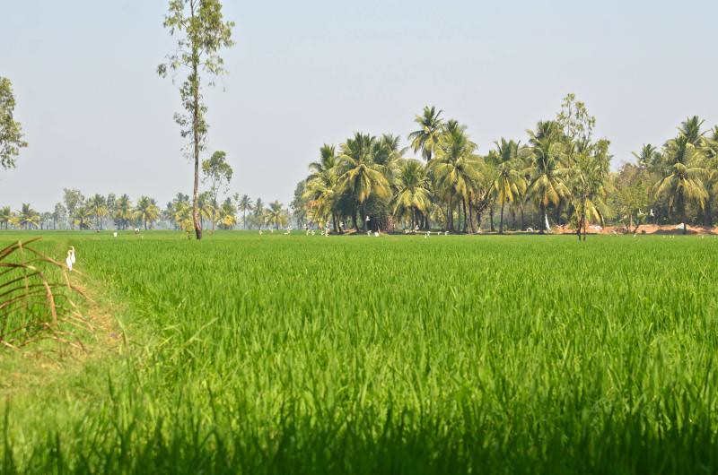
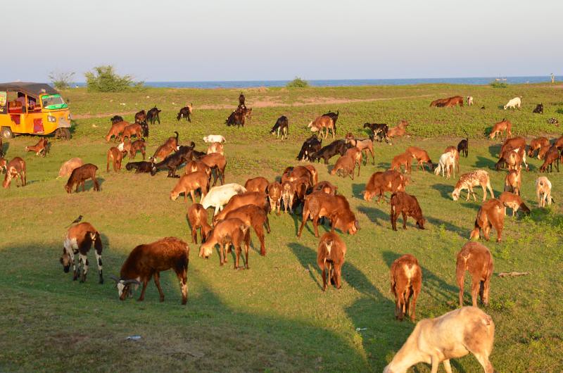
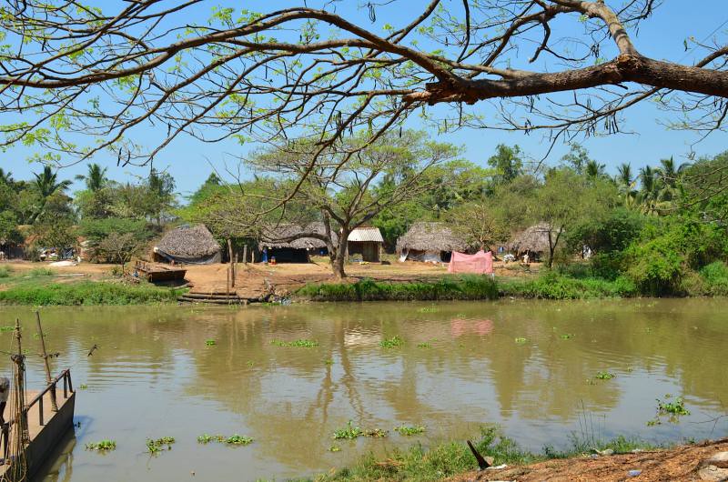
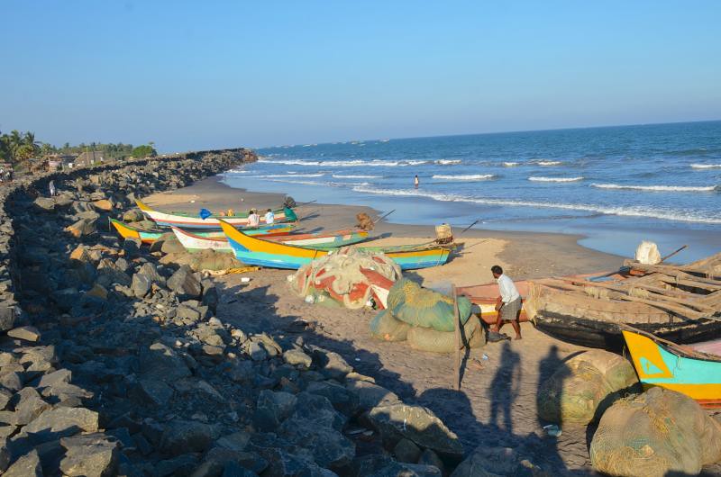
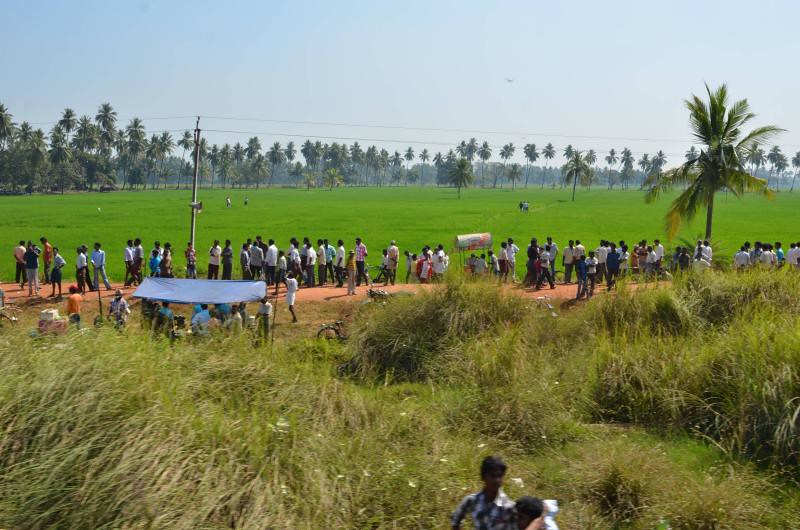
Related Photos:
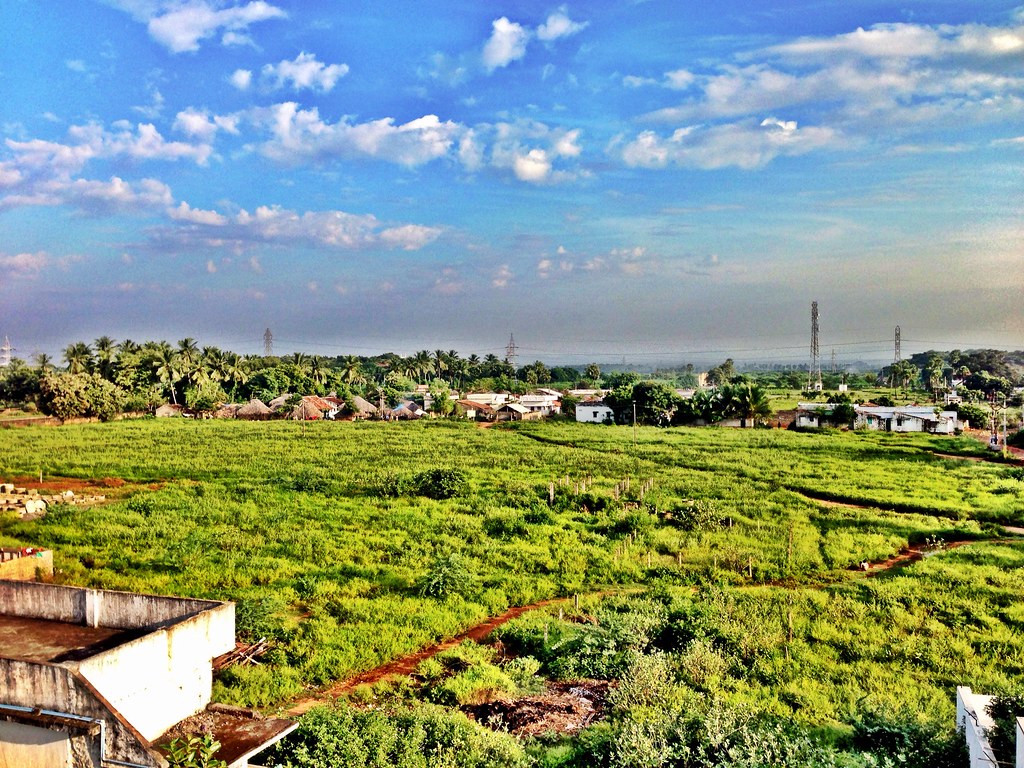
India Trip 2012

Morning - After the Catch

Morning after the Catch
East India-3MH_1315
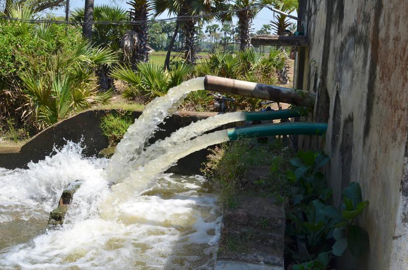
Kakinada India-3MH_1912

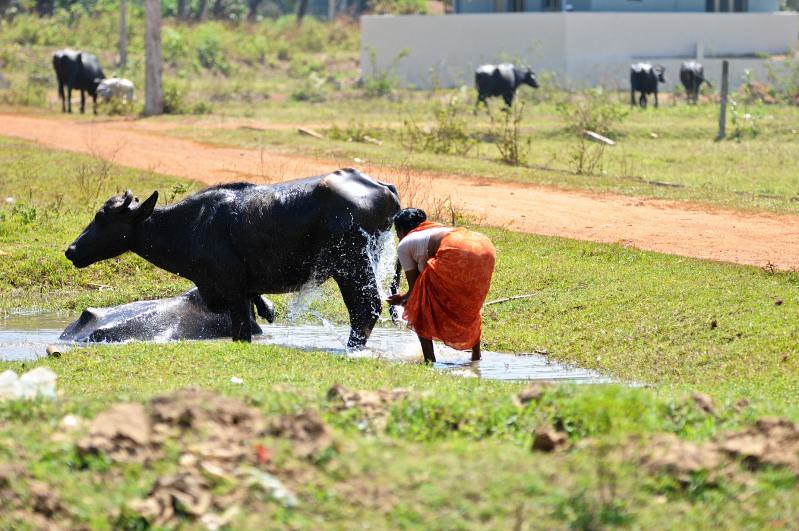
This is our pool
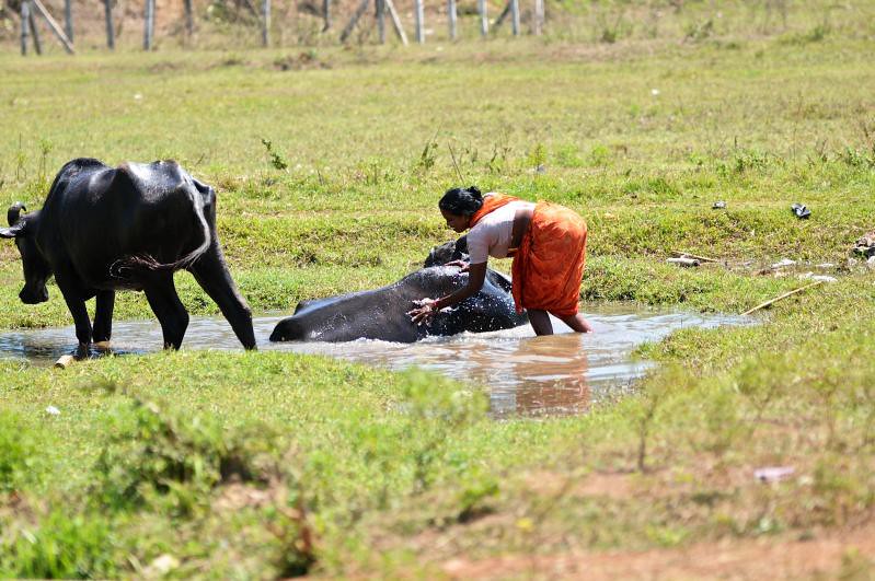
Kakinada India-3MH_1922
Kakinada India-3MH_3628
Kakinada India-3MH_1842
Kakinada India-3MH_3567
East India-3MH_1269
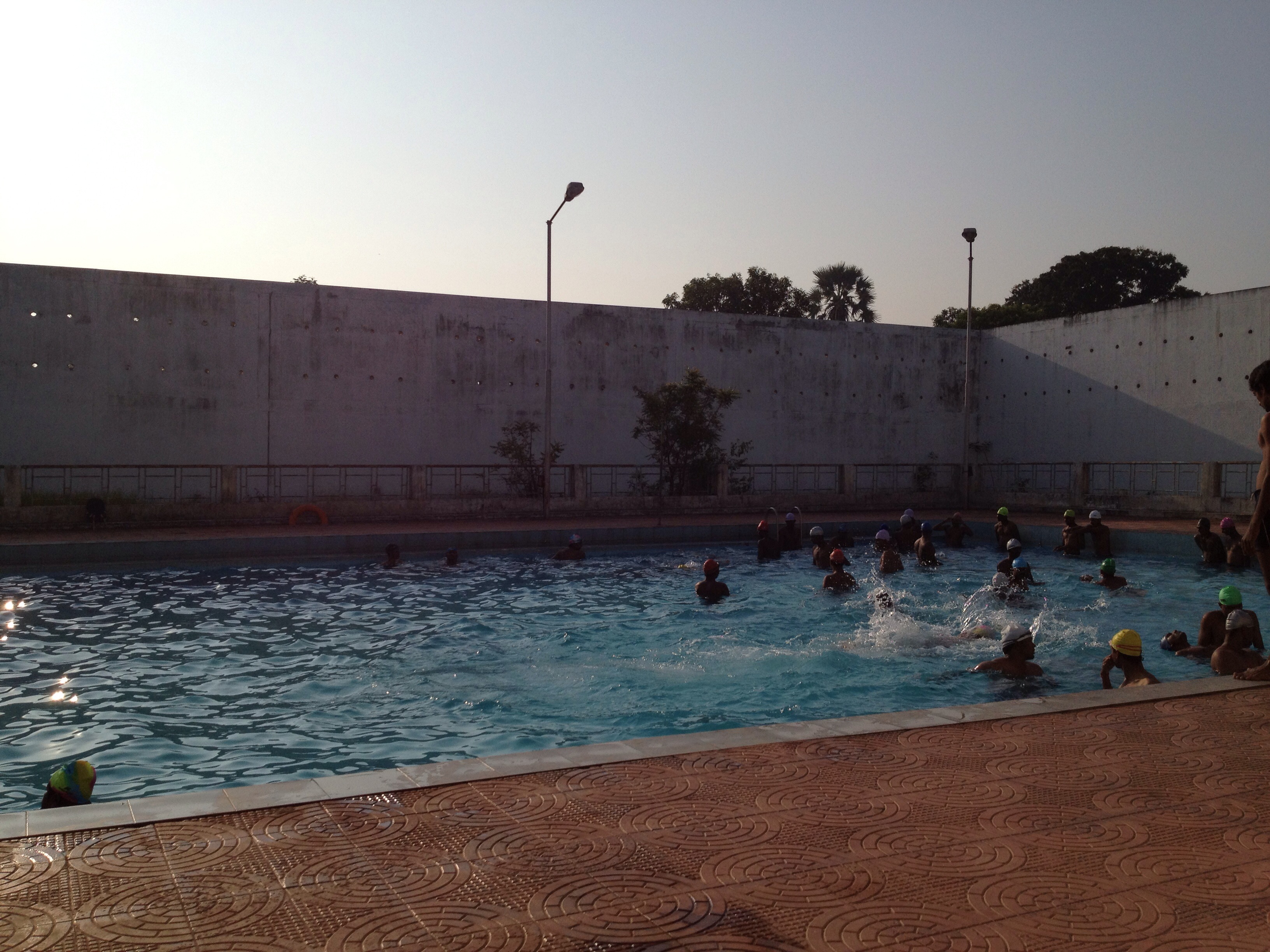
This is our pool
Kakinada India-3MH_2173

Kakinada India-3MH_3666

Kakinada India-MH3_4870

Kakinada India-3MH_1962
Kakinada India-MH3_4735
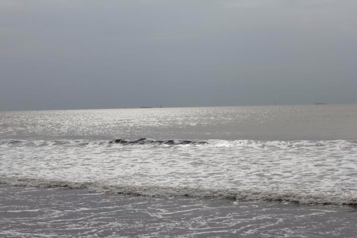
Kakinada Beach
Kakinada India-MH3_4729
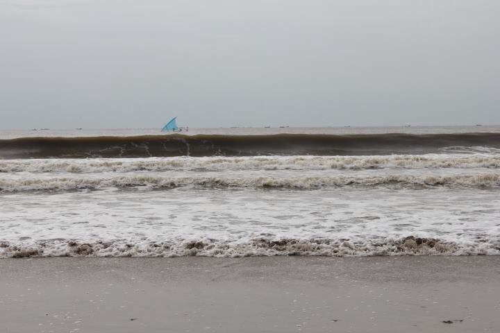
Kakinada Beach

Kakinada India-MH3_4750
Topographic Map of Kakinada, Andhra Pradesh, India
Find elevation by address:

Places in Kakinada, Andhra Pradesh, India:
Places near Kakinada, Andhra Pradesh, India:
National Highway 216
National Highway 216
Sri Pada Sri Vallabha Temple
Pithapuram
U.kothapalli Z.p High School
Uppada
East Godavari
Timmapuram
Polavaram
Katchuluru
Vishakhapatnam
S.kothuru
Konam
Paderu
Malkangiri
Recent Searches:
- Elevation of Sunset Dr, Richmond, VA, USA
- Elevation of Grodna District, Hrodna Region, Belarus
- Elevation of Hrodna, Hrodna Region, Belarus
- Elevation of Sandia Derby Estates, Tijeras, NM, USA
- Elevation of 23 Sunrise View Ct, Tijeras, NM, USA
- Elevation of Lytham Ln, Katy, TX, USA
- Elevation of Tater Hill, Oklahoma, USA
- Elevation of NY-, Friendship, NY, USA
- Elevation of 64 Danakas Dr, Winnipeg, MB R2C 5N7, Canada
- Elevation of 4 Vale Rd, Sheffield S3 9QX, UK