Elevation of Kaik Rd, Waitaki Bridge, New Zealand
Location: New Zealand > Otago > Waitaki Bridge >
Longitude: 171.132466
Latitude: -44.946120
Elevation: 1m / 3feet
Barometric Pressure: 101KPa
Elevation Map:
Satellite Map:
Related Photos:
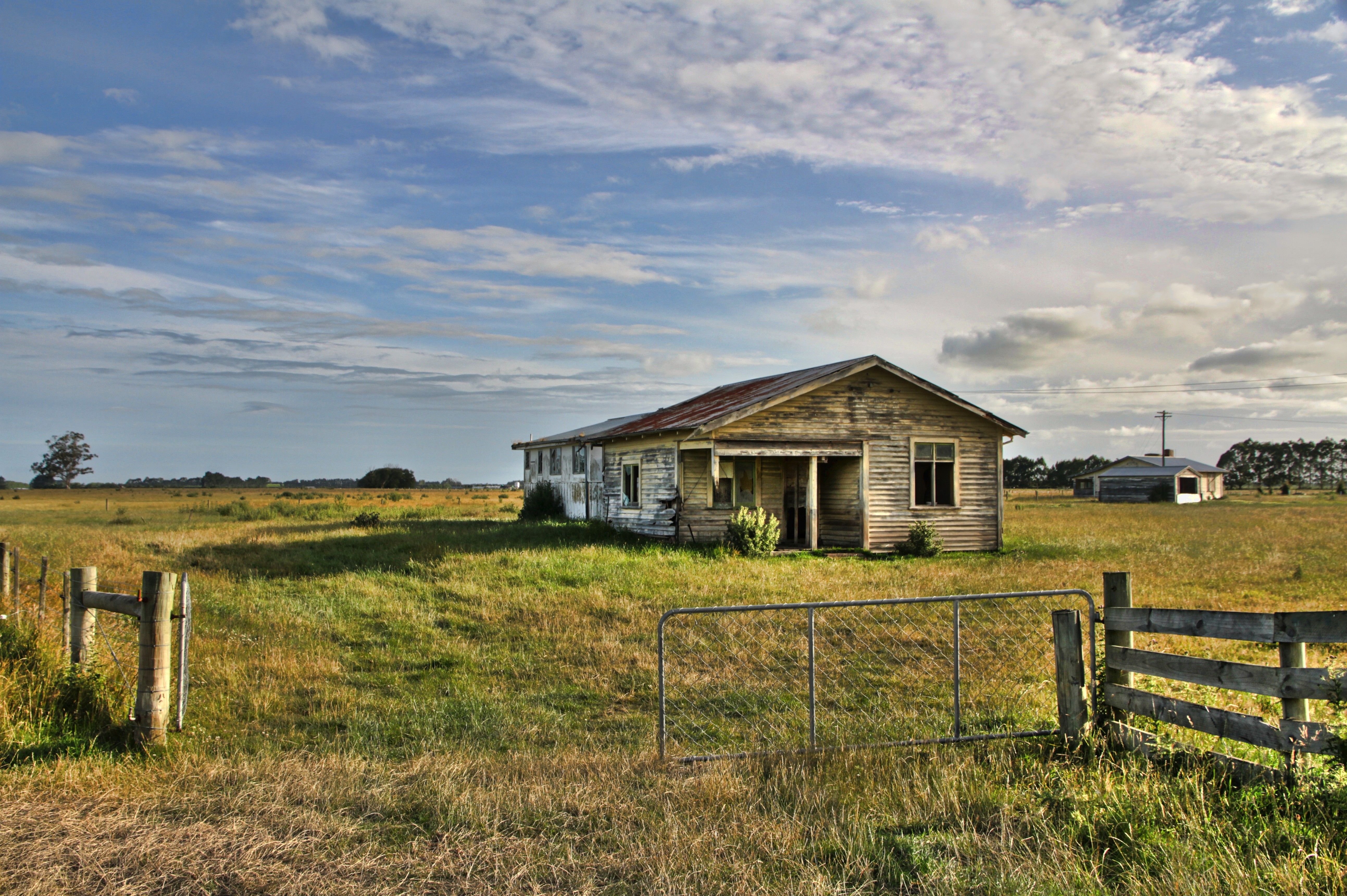
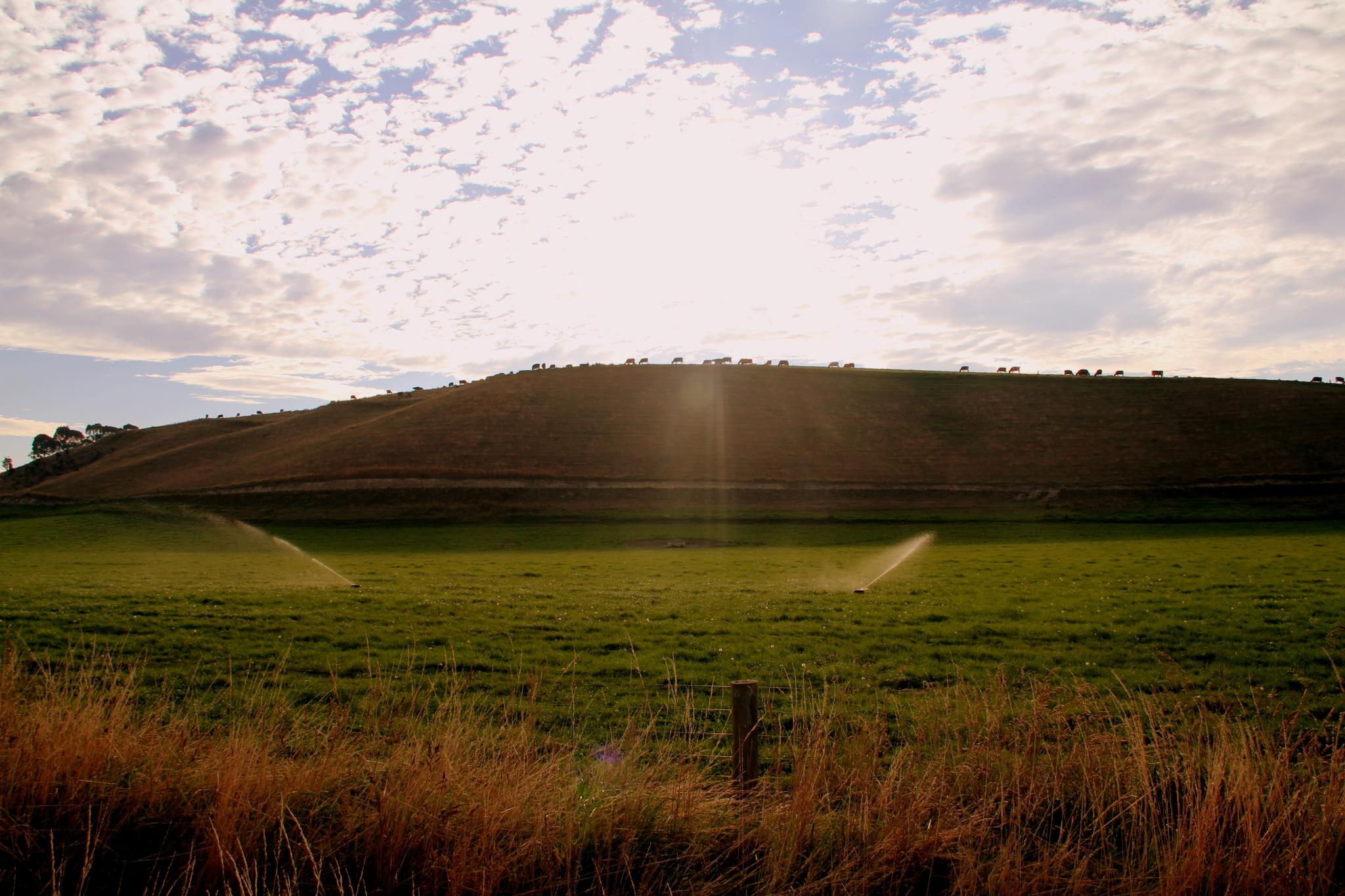
Old house, Morven, Canterbury, New Zealand.
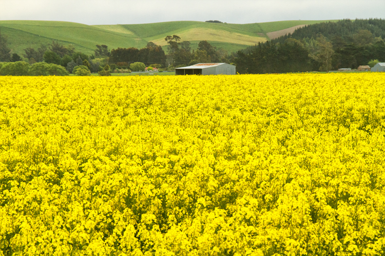
Canola Fields
Onderweg naar Waimate
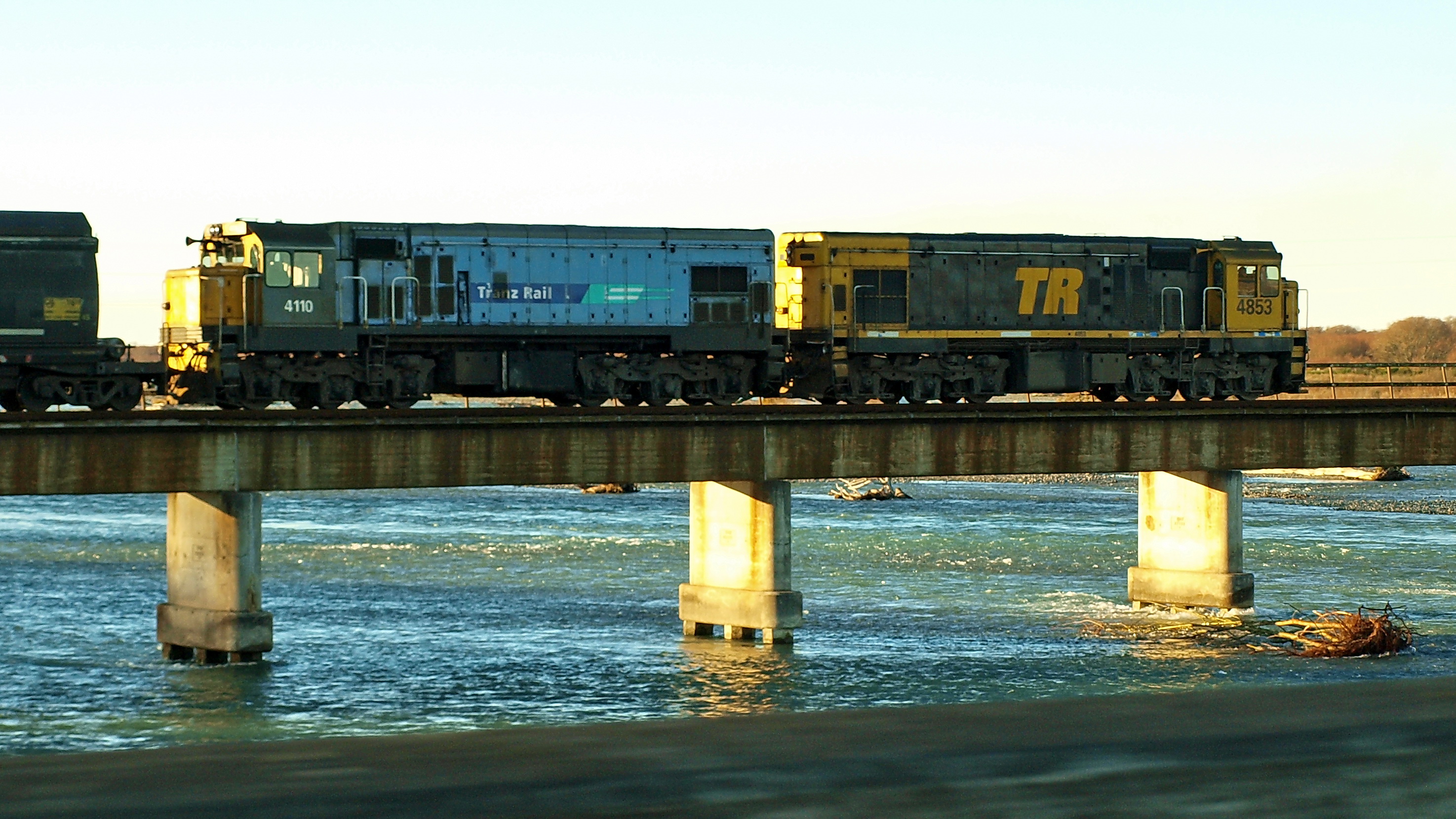
937 on Waitaki Bridge

2010 Nouvelle Zélande
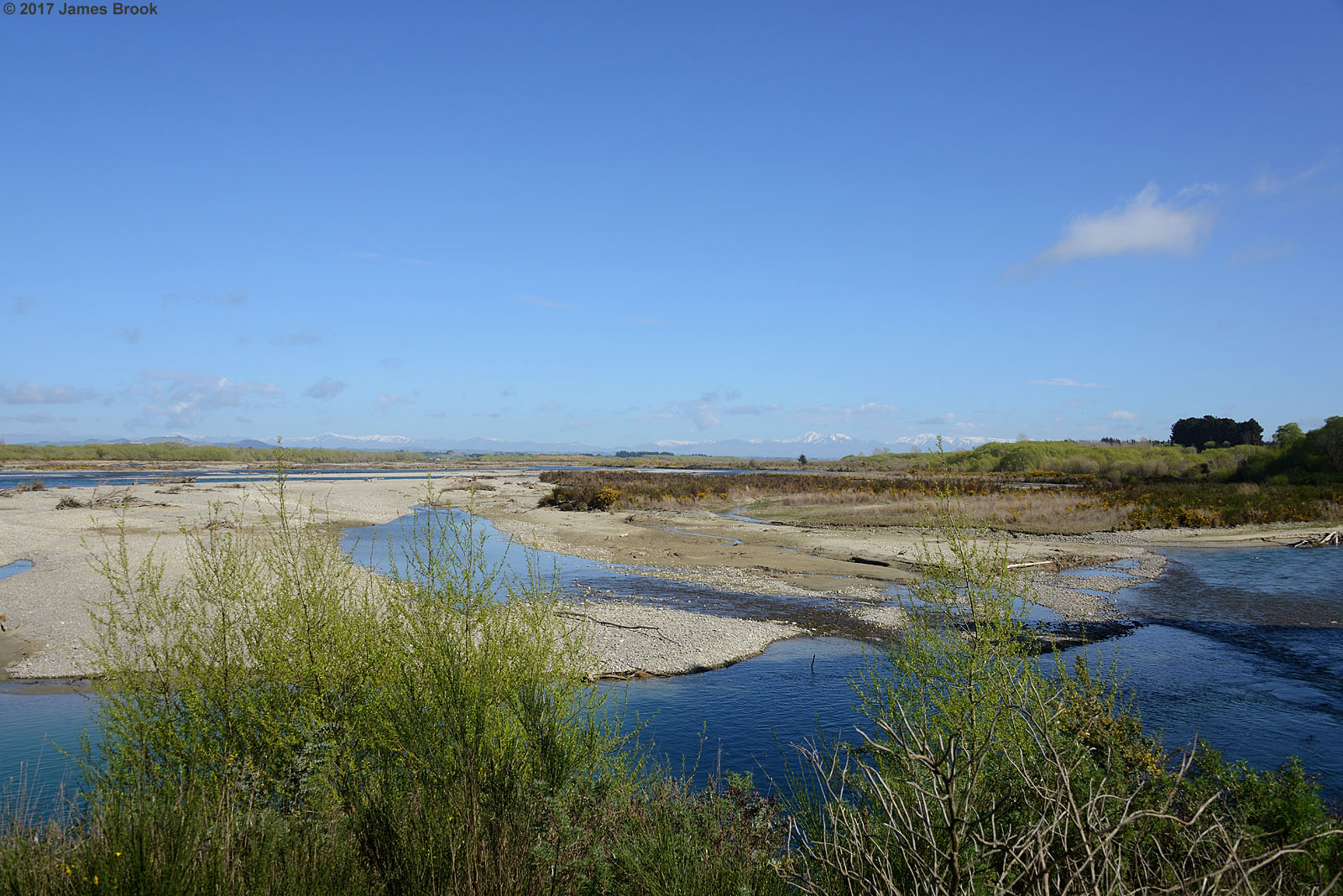
Waitaki River at Glenavy
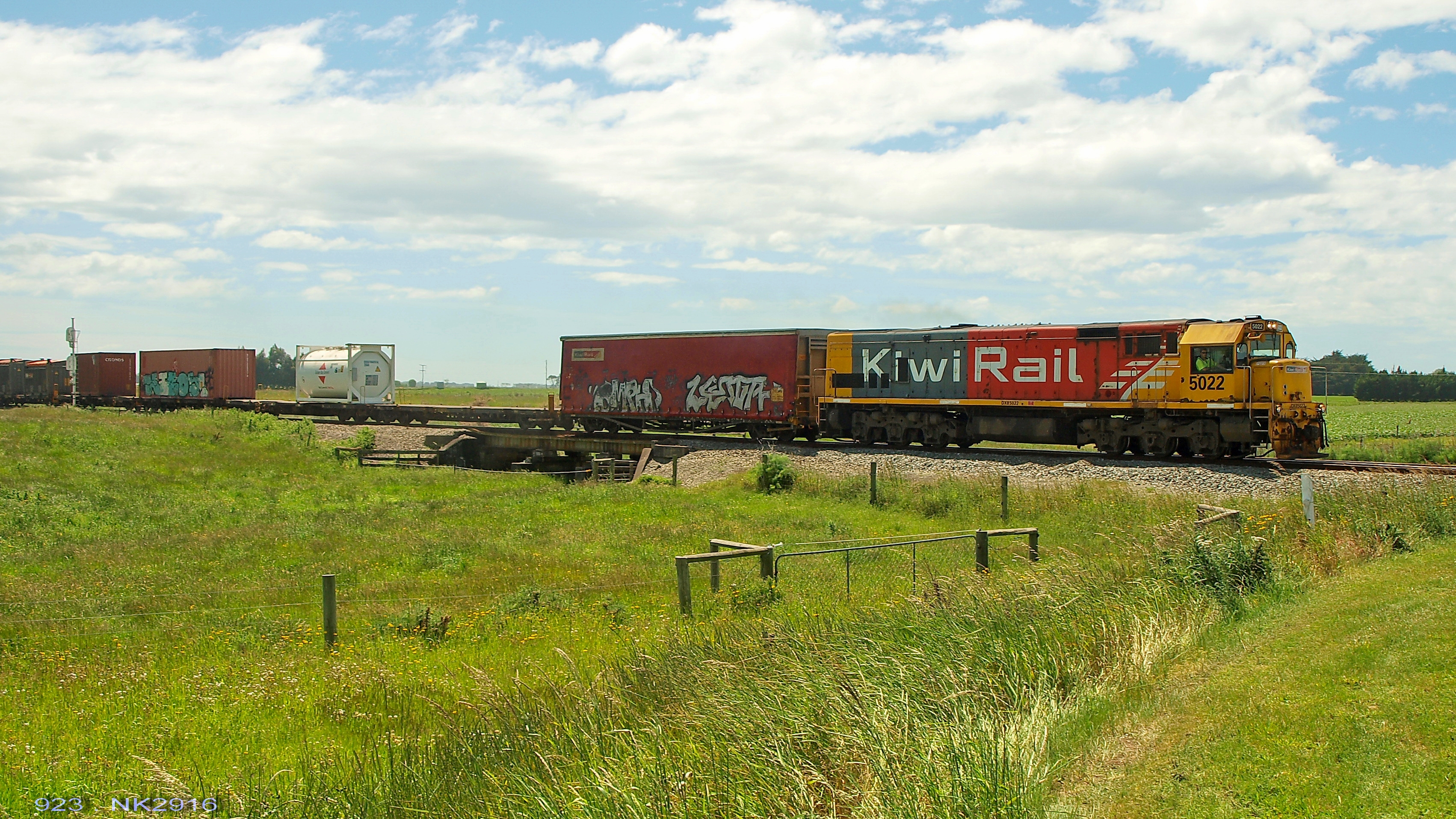
923 arriving at Glenavy
Río Waitaki. Isla Sur. Nueva Zelanda
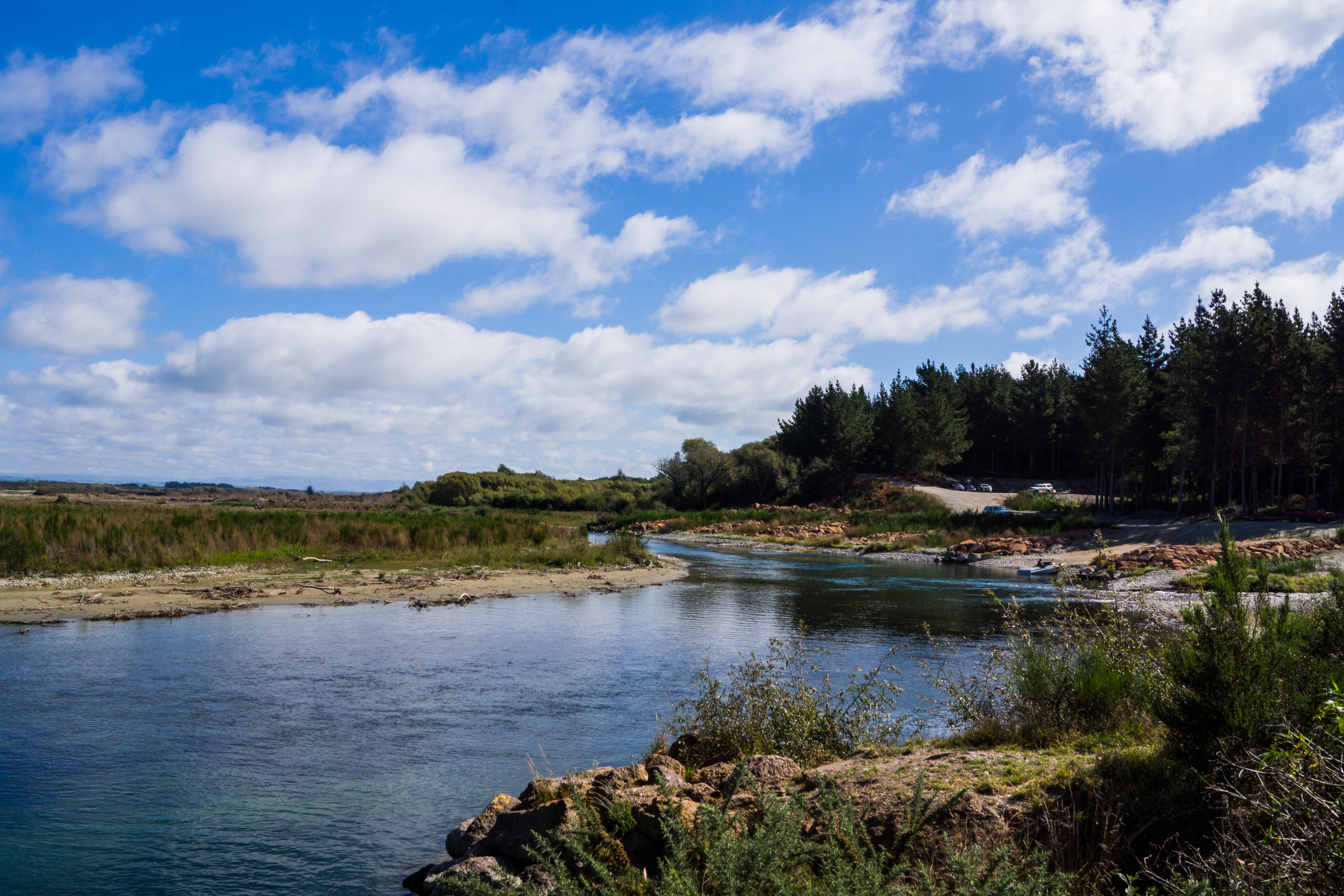
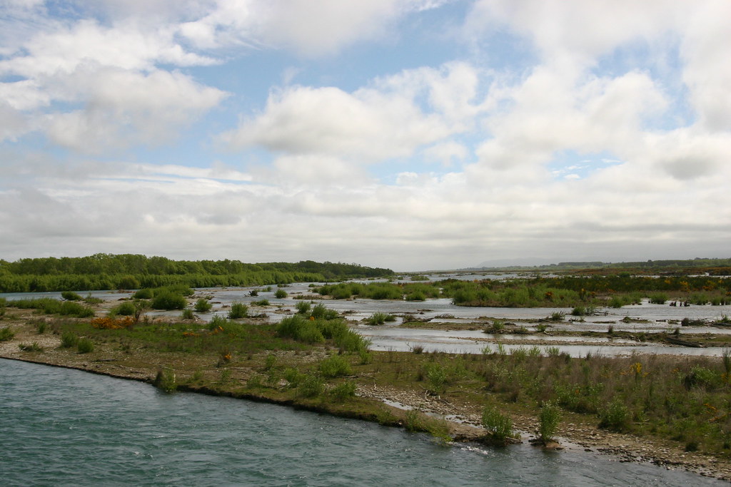
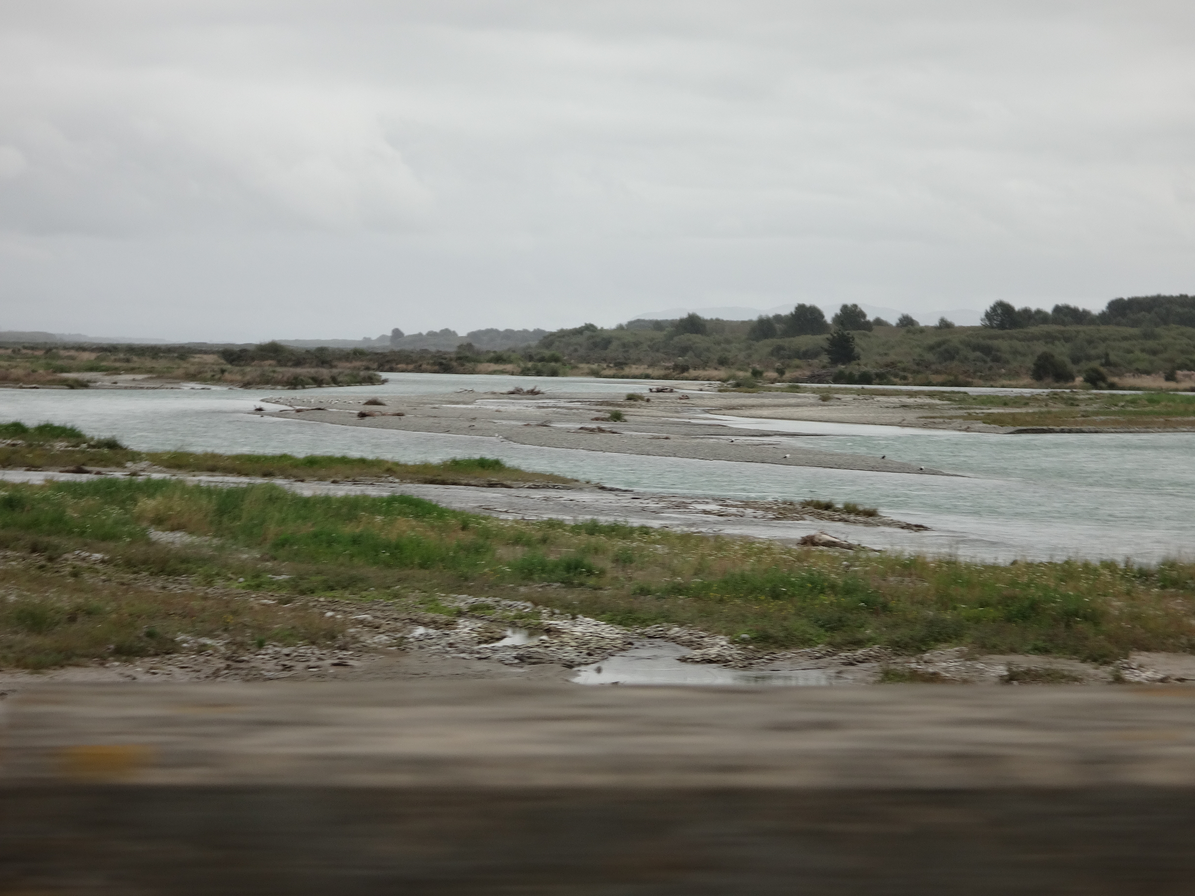
Waitaki River

The beautiful Waitaki Valley. #waitaki #newzealand #nzmustdo
IMG_9050-001

2010 Nouvelle Zélande
Topographic Map of Kaik Rd, Waitaki Bridge, New Zealand
Find elevation by address:

Places near Kaik Rd, Waitaki Bridge, New Zealand:
6/329 Kaik Rd
Waitaki Waters Holiday Park
Waitaki Bridge
54 Parsonage Rd
32 Lagoon Dr
Salisbury
Waitaki District
Redruth
68 King St
12 Richards Pl
Kensington
85 Domain Ave
Woodlands Road
43a Craigie Ave
13 Queen St
31 Craigie Ave
8 Regent St
41 Raymond St
35 Raymond St
Parkside
Recent Searches:
- Elevation of Pinewood Dr, New Bern, NC, USA
- Elevation of Mountain View, CA, USA
- Elevation of Foligno, Province of Perugia, Italy
- Elevation of Blauwestad, Netherlands
- Elevation of Bella Terra Blvd, Estero, FL, USA
- Elevation of Estates Loop, Priest River, ID, USA
- Elevation of Woodland Oak Pl, Thousand Oaks, CA, USA
- Elevation of Brownsdale Rd, Renfrew, PA, USA
- Elevation of Corcoran Ln, Suffolk, VA, USA
- Elevation of Mamala II, Sariaya, Quezon, Philippines