Elevation of Kadambur, Tamil Nadu, India
Location: India > Tamil Nadu > Erode >
Longitude: 77.3288529
Latitude: 11.62499
Elevation: 812m / 2664feet
Barometric Pressure: 92KPa
Elevation Map:
Satellite Map:
Related Photos:
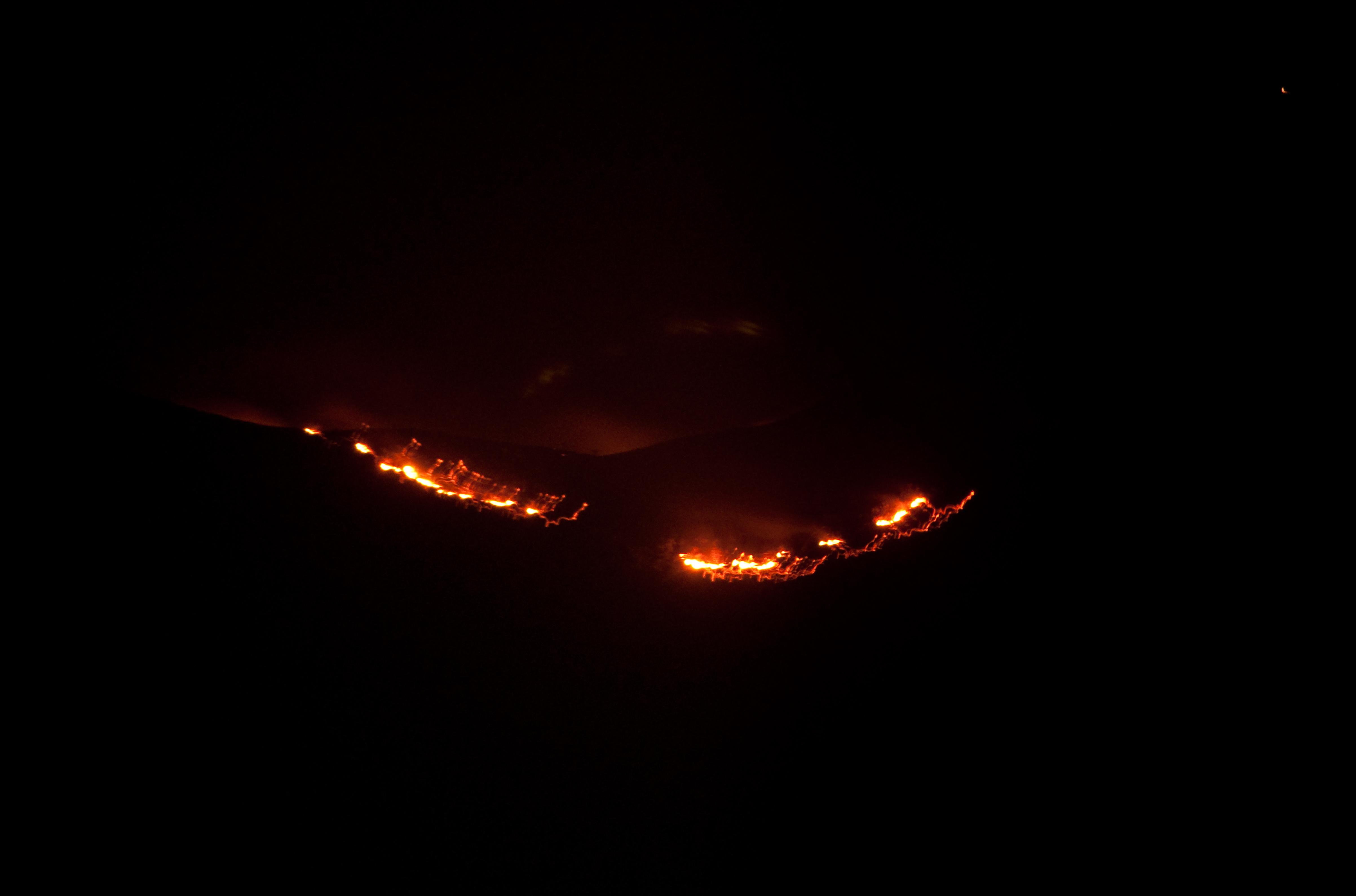
Disaster
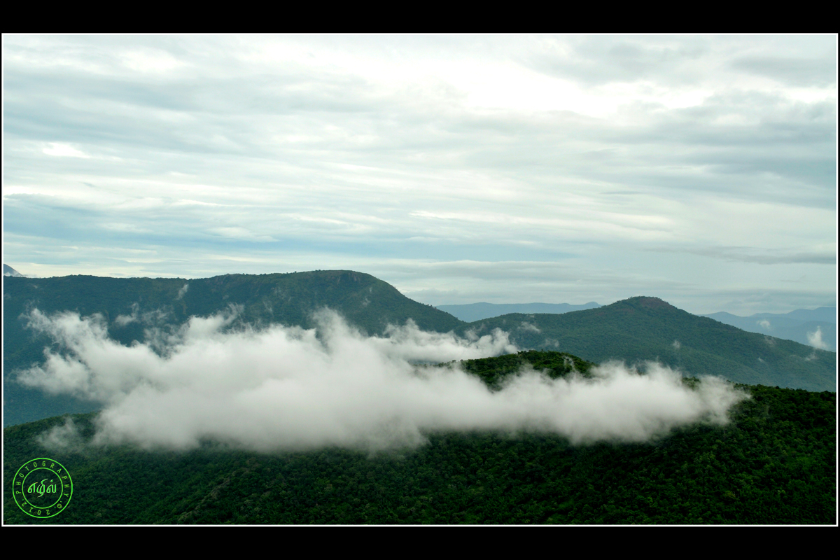
Mountain Clouds

Autumn in India

Raampaali Way

Shola Forest

DPS Assignment - Flower

Old Man
Click during Cycling #cycling #machcity #riding
2012-12-31 11.02.17

Purple Sunbird Nest

Indian Cobra
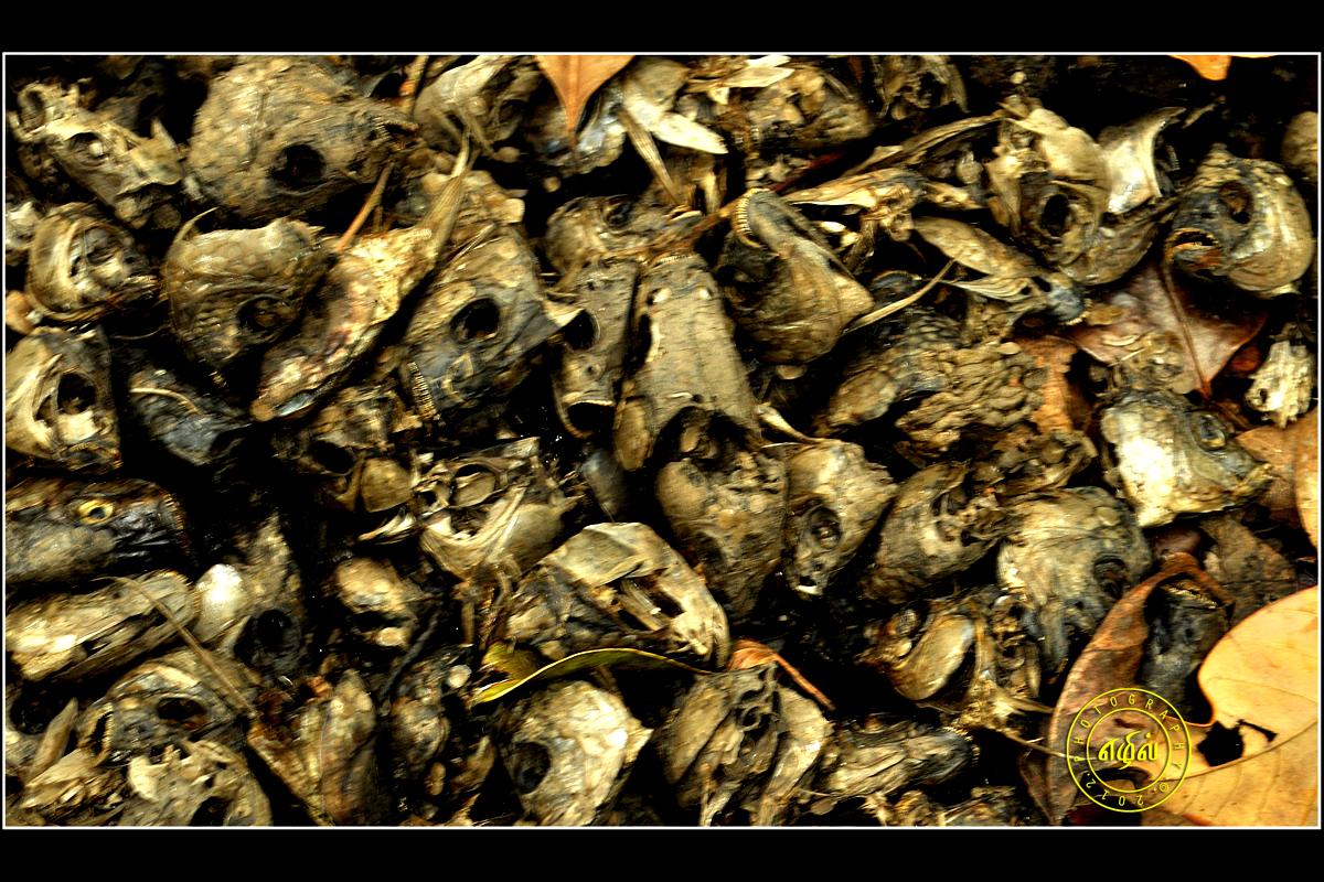
Fish Head
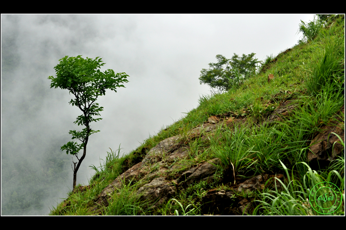
Tree in Cloud
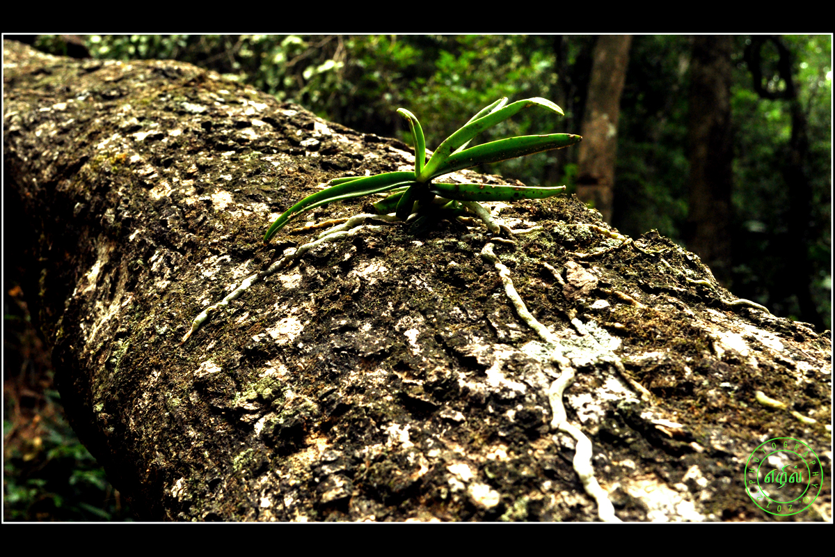
Tree Parasite

Take off

Kodiveri Vinayagar Temple

Girl at a Shandy

DPS-Car-Assignment

Tribal Man
Topographic Map of Kadambur, Tamil Nadu, India
Find elevation by address:

Places near Kadambur, Tamil Nadu, India:
Sathyamangalam Bridge
Sathyamangalam
Kottadai
Dhimbam View Point
Dhimbham
Talamalai R.f.
Banari
Nambiyur
Nambiyur
Thalavadi
Sellappavpalayam
Biligiriranganabetta
Kadinamala
Vanamala Farm
Thengumarahada
Gorukana Eco Wellness Retreat
Sholurmattam Main Bazzar
Sholurmattam
Kodanadu View Point
Chamarajanagar
Recent Searches:
- Elevation of 6 Rue Jules Ferry, Beausoleil, France
- Elevation of Sattva Horizon, 4JC6+G9P, Vinayak Nagar, Kattigenahalli, Bengaluru, Karnataka, India
- Elevation of Great Brook Sports, Gold Star Hwy, Groton, CT, USA
- Elevation of 10 Mountain Laurels Dr, Nashua, NH, USA
- Elevation of 16 Gilboa Ln, Nashua, NH, USA
- Elevation of Laurel Rd, Townsend, TN, USA
- Elevation of 3 Nestling Wood Dr, Long Valley, NJ, USA
- Elevation of Ilungu, Tanzania
- Elevation of Yellow Springs Road, Yellow Springs Rd, Chester Springs, PA, USA
- Elevation of Rēzekne Municipality, Latvia