Elevation of Kadam Forest Reserve, Uganda
Location: Uganda > Northern Region >
Longitude: 34.75
Latitude: 1.8
Elevation: -10000m / -32808feet
Barometric Pressure: 295KPa
Elevation Map:
Satellite Map:
Related Photos:

View from the Ridge

Clear view of Mt.Qadam

Tropical Forest, Mt.Qadam

Top of Mt.Qadam
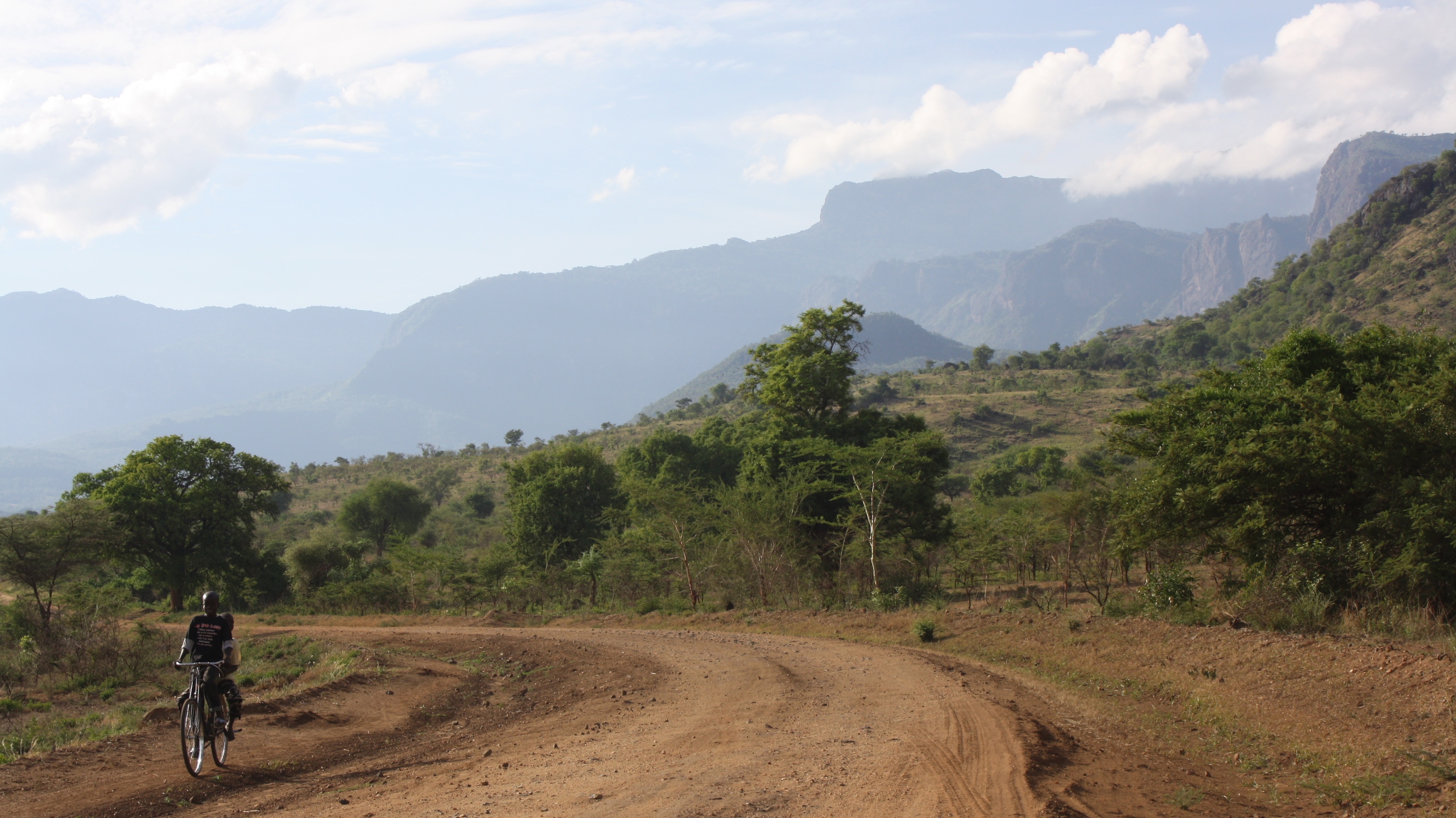
En route Mt.Qadam from Pian Upe

After rain mist over Mt.Qadam
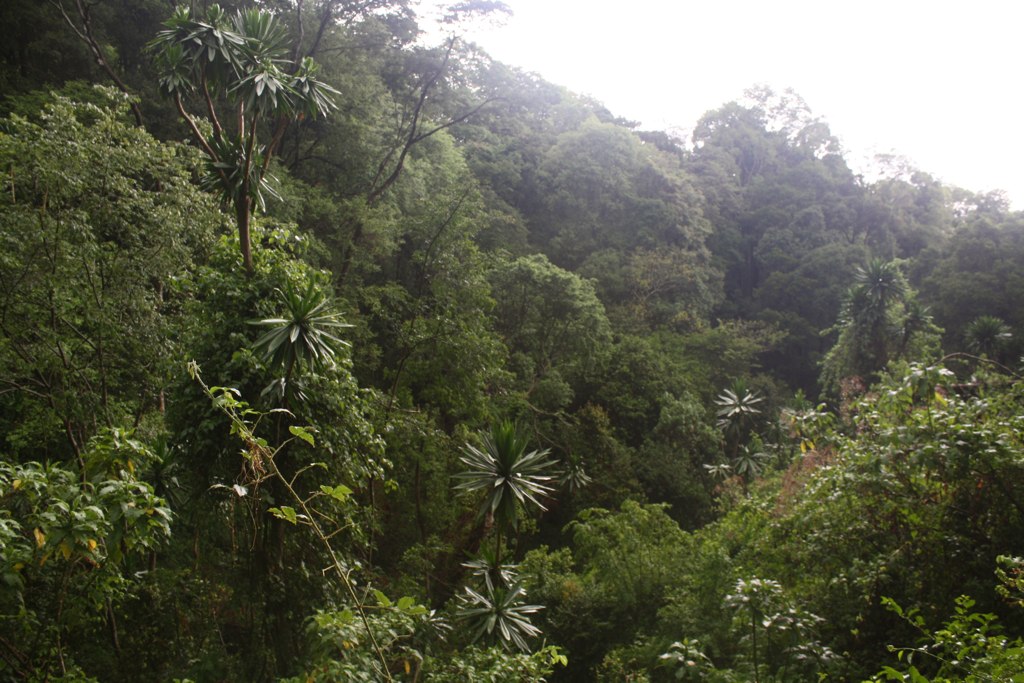
Back in the tropical forest !

Another "new field"
Topographic Map of Kadam Forest Reserve, Uganda
Find elevation by address:

Places near Kadam Forest Reserve, Uganda:
Recent Searches:
- Elevation of Unnamed Road, Respublika Severnaya Osetiya — Alaniya, Russia
- Elevation of Verkhny Fiagdon, North Ossetia–Alania Republic, Russia
- Elevation of F. Viola Hiway, San Rafael, Bulacan, Philippines
- Elevation of Herbage Dr, Gulfport, MS, USA
- Elevation of Lilac Cir, Haldimand, ON N3W 2G9, Canada
- Elevation of Harrod Branch Road, Harrod Branch Rd, Kentucky, USA
- Elevation of Wyndham Grand Barbados Sam Lords Castle All Inclusive Resort, End of Belair Road, Long Bay, Bridgetown Barbados
- Elevation of Iga Trl, Maggie Valley, NC, USA
- Elevation of N Co Rd 31D, Loveland, CO, USA
- Elevation of Lindever Ln, Palmetto, FL, USA