Elevation of Kabechō Ōaza Kamimachiya, Asakita-ku, Hiroshima-shi, Hiroshima-ken -, Japan
Location: Japan > Hiroshima Prefecture > Asakita Ward >
Longitude: 132.516193
Latitude: 34.5459703
Elevation: 91m / 299feet
Barometric Pressure: 100KPa
Elevation Map:
Satellite Map:
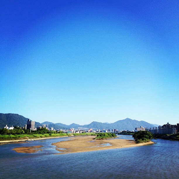
Related Photos:
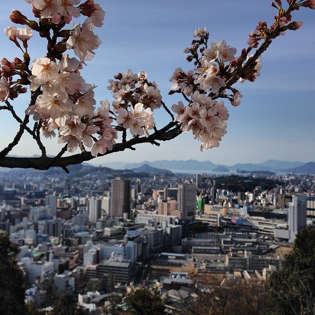
Hiroshima city viewed through Cherry blossoms

N700 Series Shinkansen
last view

Evening Sky 夕空

Made it halfway on today's 2 hour training run - beautiful views all the way #hiroshima

Home tea ceremony, Hiroshima

Hiroshima, Japan

Views of the mountains & Hiroshima city through Sakura flowers

Sakura blossoms close-up, blue skies & Hiroshima city in background - beautiful views at Peace pagoda this morning #gethiroshima #getjapan #japantravel

Mt.Ogonzan, Hiroshima city looks to be in full bloom today too, hope to get over there soon to enjoy more beautiful Sakura views #gethiroshima
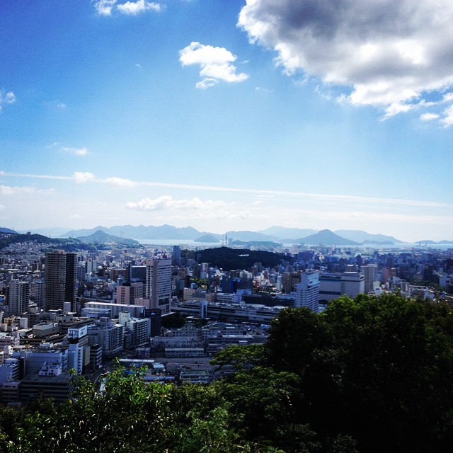
View 2- Hiroshima city & nearby islands in Seto-inland sea

Riverside view at Ciao!Ciao!

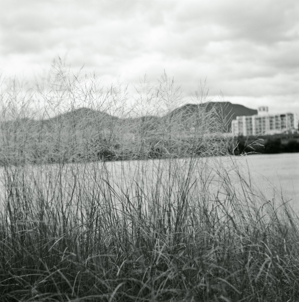
Shrooms & Mountains view at the playground

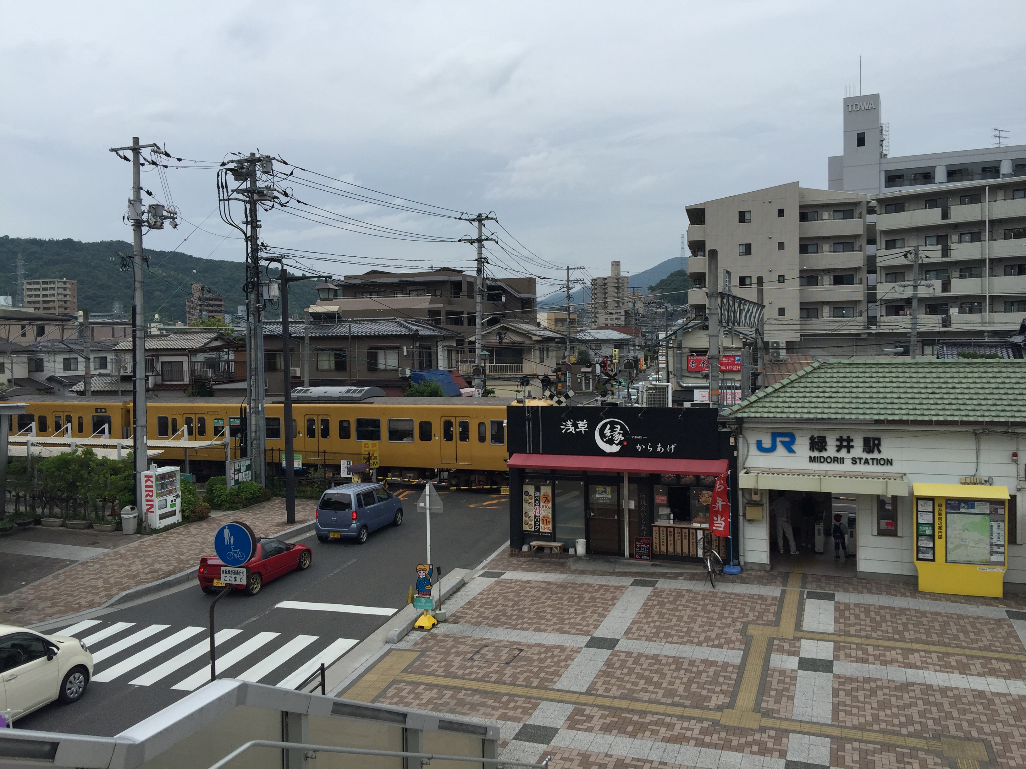
Street view.
橋の上から
今日も暑そう!

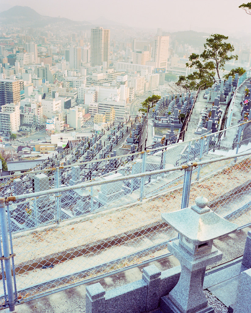
Mitaki (18)

こんな風景。

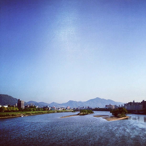
橋上から
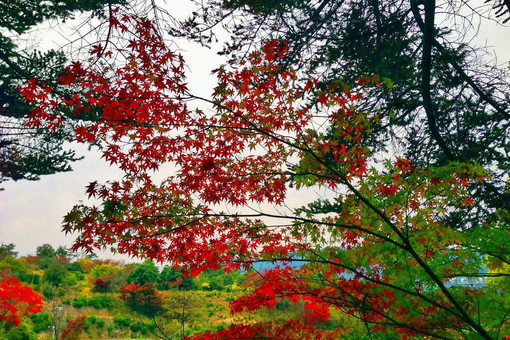
Autumnal leaves

IMG-20111204-00073
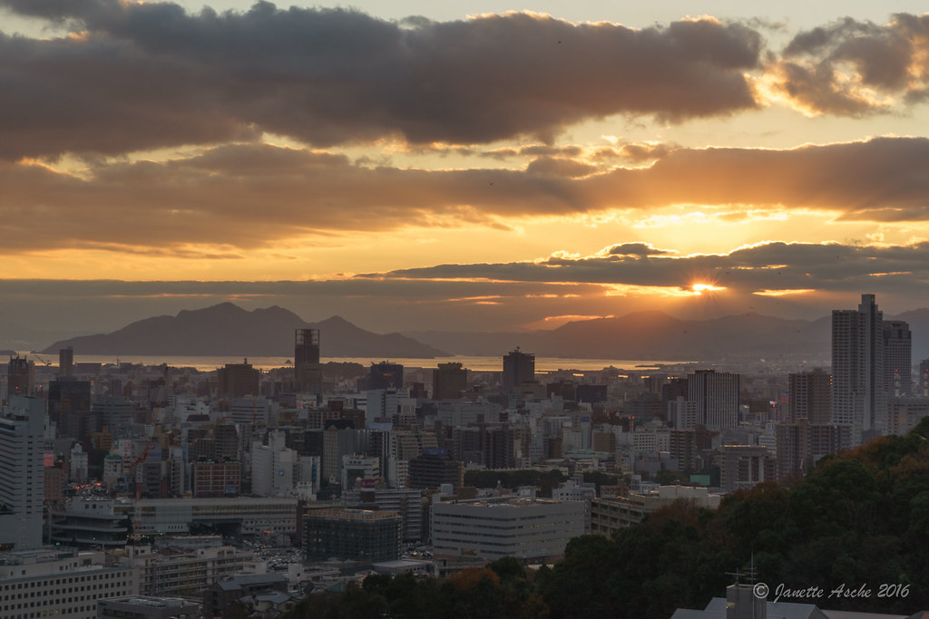
Hiroshima Skyline - sunset

田舎の空

IMG-20111204-00074
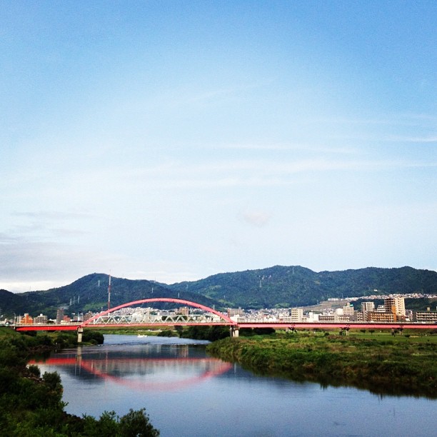
安芸大橋
踏切のある光景

Mitaki (31)

IMG-20111204-00072

青春18きっぷの旅をして来たよ!

IMG_1703.JPG
40650011副本

Mitaki (35)
Topographic Map of Kabechō Ōaza Kamimachiya, Asakita-ku, Hiroshima-shi, Hiroshima-ken -, Japan
Find elevation by address:

Places near Kabechō Ōaza Kamimachiya, Asakita-ku, Hiroshima-shi, Hiroshima-ken -, Japan:
3 Chome-8-23 Miiri, Asakita-ku, Hiroshima-shi, Hiroshima-ken -, Japan
1 Chome-6-19 Ōbayashi
キシゾイアパート
6 Chome-15-39-3 Kabehigashi, Asakita-ku, Hiroshima-shi, Hiroshima-ken -, Japan
Kabechō Ōaza Ayagatani, Asakita-ku, Hiroshima-shi, Hiroshima-ken -, Japan
Asakita Ward
7 Chome-9-41-5 Kameyama, Asakita-ku, Hiroshima-shi, Hiroshima-ken -, Japan
5 Chome-1-45 Kabeminami, Asakita-ku, Hiroshima-shi, Hiroshima-ken -, Japan
9 Chome-23-4 Kameyama, Asakita-ku, Hiroshima-shi, Hiroshima-ken -, Japan
1 Chome-18-10-15 Kabeminami, Asakita-ku, Hiroshima-shi, Hiroshima-ken -, Japan
- Kabechō Ōaza Katsugi, Asakita-ku, Hiroshima-shi, Hiroshima-ken -, Japan
-37 Kabechō Ōaza Imaida, Asakita-ku, Hiroshima-shi, Hiroshima-ken -, Japan
4 Chome-20-26 Fukawa, Asakita-ku, Hiroshima-shi, Hiroshima-ken -, Japan
4 Chome-20-5 Yagi, Asaminami-ku, Hiroshima-shi, Hiroshima-ken -, Japan
2 Chome-14-21 Kamezaki, Asakita-ku, Hiroshima-shi, Hiroshima-ken -, Japan
今橋一級建築士事務所
1896-3 Asachō Ōaza Suzuhari
Asachō Ōaza Imuro, Asakita-ku, Hiroshima-shi, Hiroshima-ken -, Japan
Asachō Ōaza Tsutsuse, Asakita-ku, Hiroshima-shi, Hiroshima-ken -, Japan
5 Chome-37-4 Kuchita, Asakita-ku, Hiroshima-shi, Hiroshima-ken -, Japan
Recent Searches:
- Elevation of Congressional Dr, Stevensville, MD, USA
- Elevation of Bellview Rd, McLean, VA, USA
- Elevation of Stage Island Rd, Chatham, MA, USA
- Elevation of Shibuya Scramble Crossing, 21 Udagawacho, Shibuya City, Tokyo -, Japan
- Elevation of Jadagoniai, Kaunas District Municipality, Lithuania
- Elevation of Pagonija rock, Kranto 7-oji g. 8"N, Kaunas, Lithuania
- Elevation of Co Rd 87, Jamestown, CO, USA
- Elevation of Tenjo, Cundinamarca, Colombia
- Elevation of Côte-des-Neiges, Montreal, QC H4A 3J6, Canada
- Elevation of Bobcat Dr, Helena, MT, USA