Elevation of Kabartonjo, Kenya
Location: Kenya > Baringo County >
Longitude: 35.7966307
Latitude: 0.6331728
Elevation: 2296m / 7533feet
Barometric Pressure: 77KPa
Elevation Map:
Satellite Map:
Related Photos:
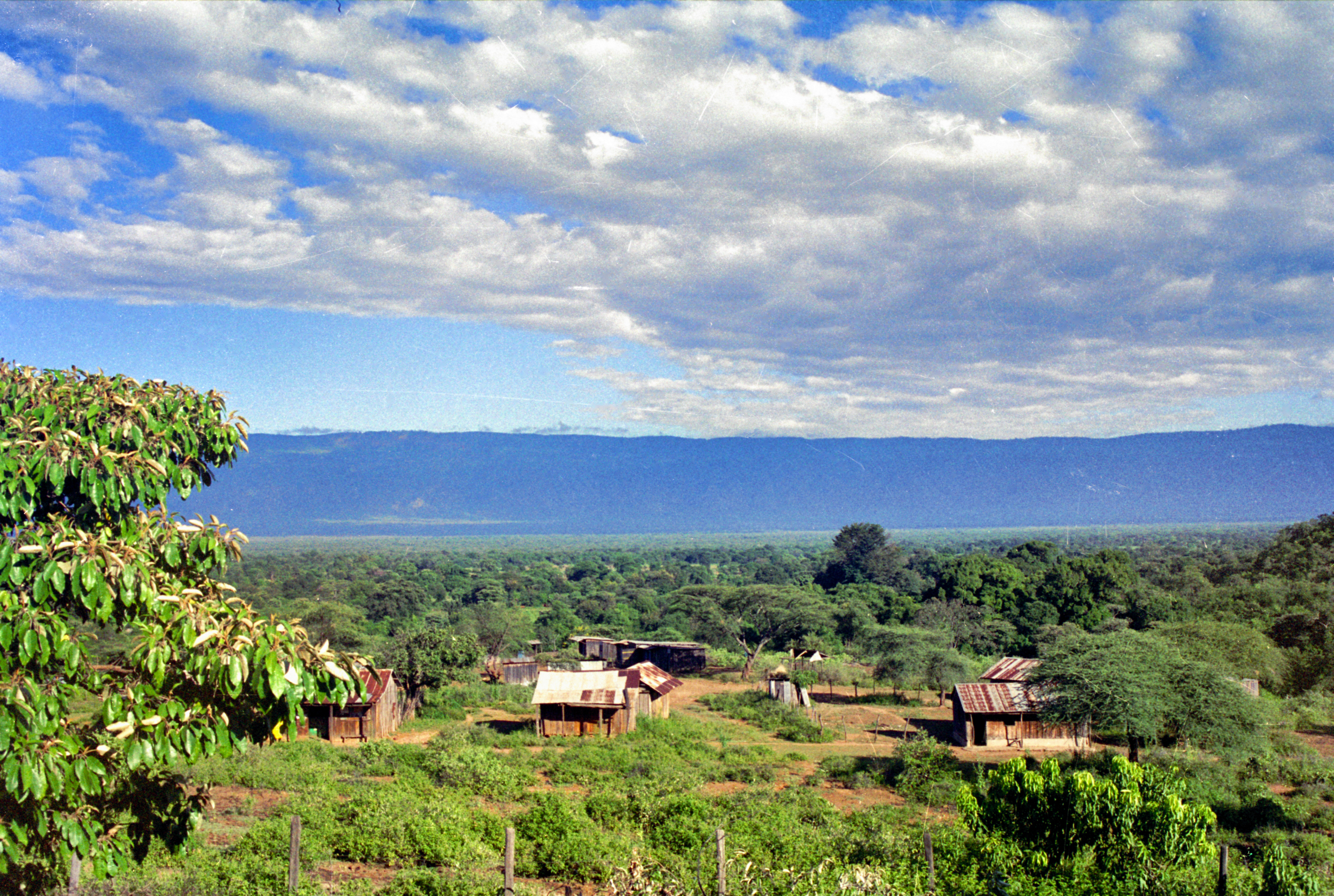
picture from my front porch
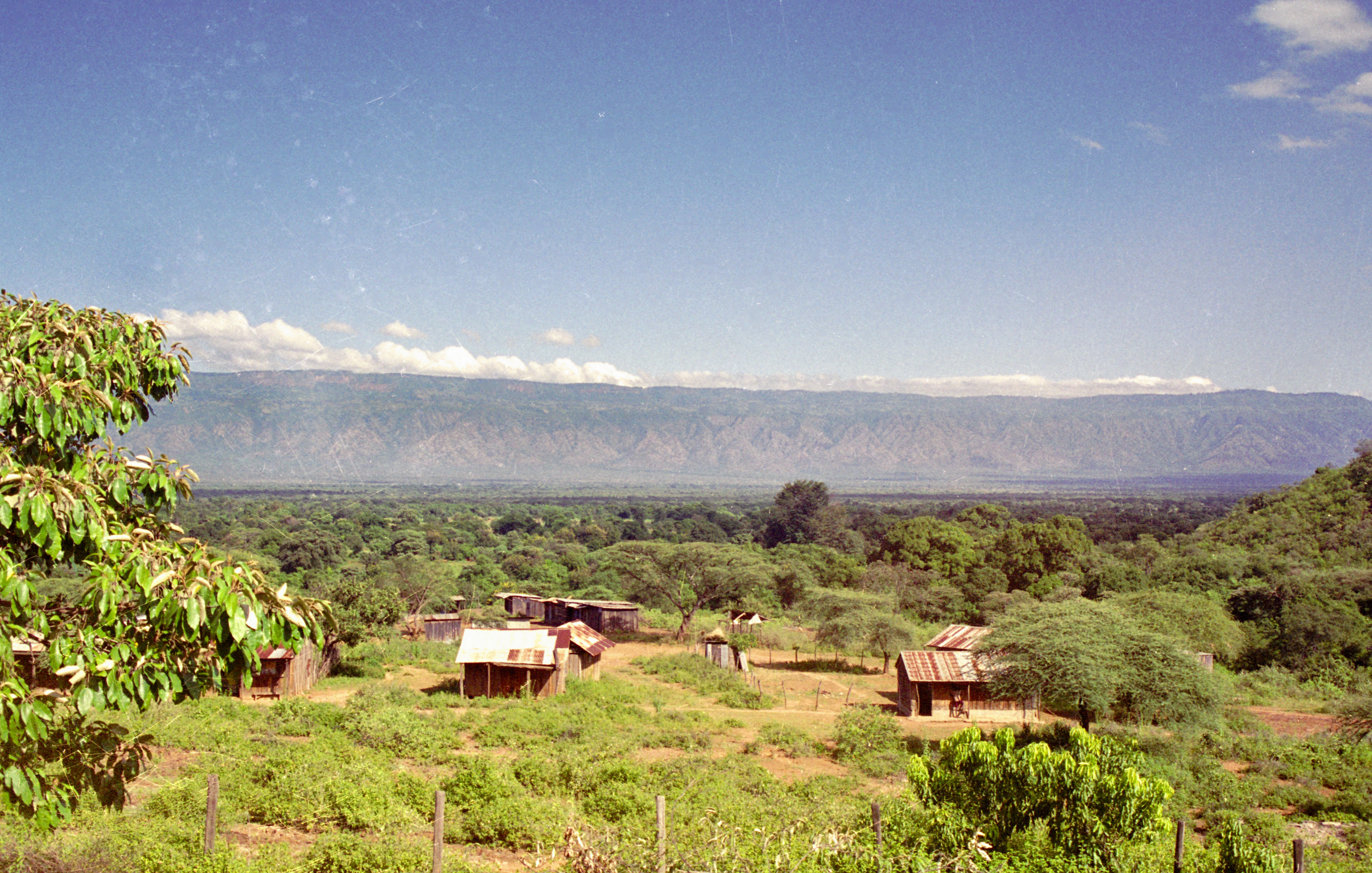
Sunny day from my front porch

kaplulk hill
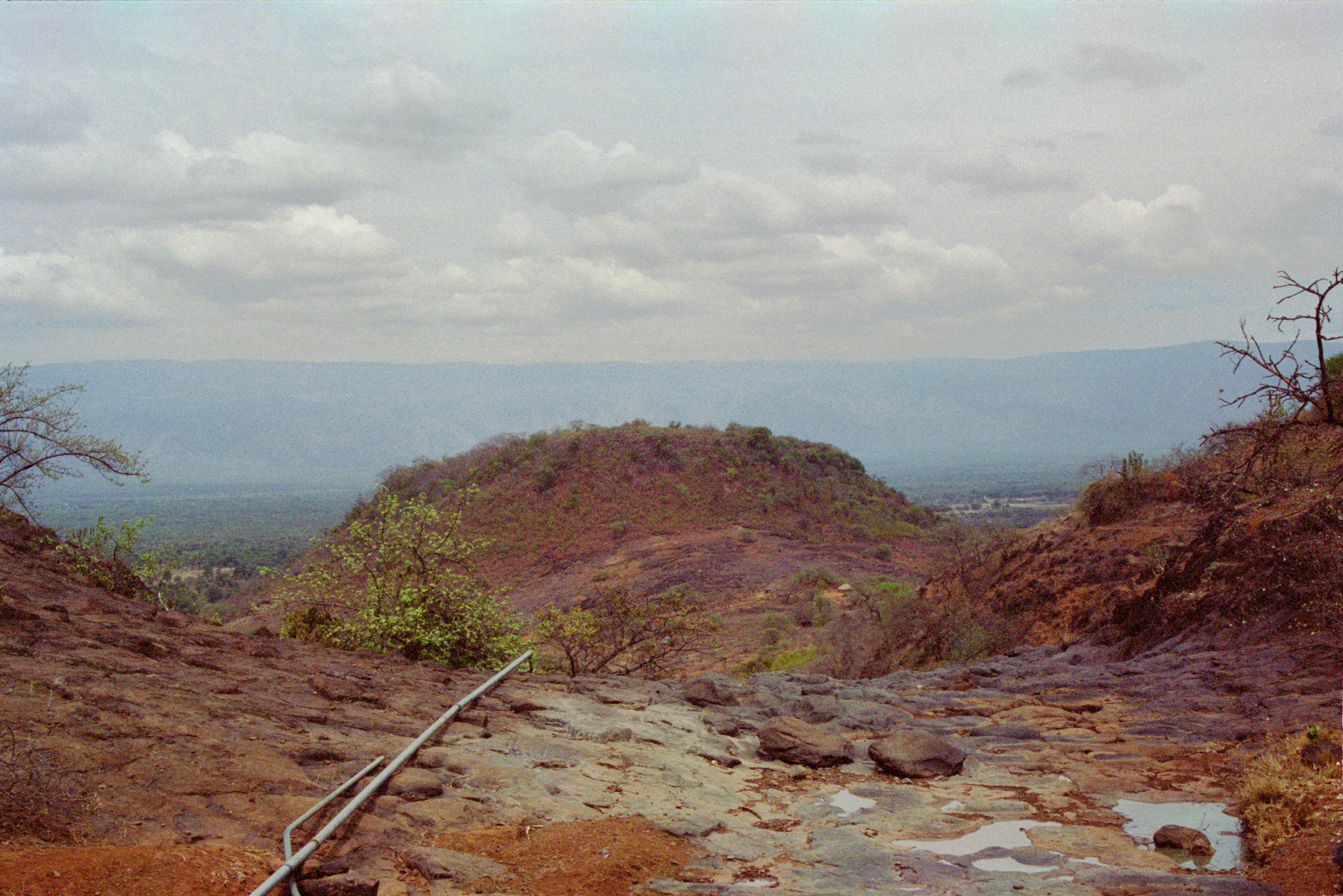
kaplulk hill2
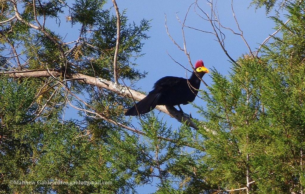
Ross's Turaco (Musophaga rossae)
Topographic Map of Kabartonjo, Kenya
Find elevation by address:

Places near Kabartonjo, Kenya:
Kabarnet
Baringo County
Yatya
Timboiwo
Rimoi
Lake Baringo
Iten
Chepkum
Chebara
Kaptagat
Kipkabus
Lake Bogoria
Zenna Flower Farm
Uasin Gishu County
Elgeyo-marakwet County
St. Luke Hospital
Eldoret
The Hill School
Pioneer
Eldama Ravine
Recent Searches:
- Elevation of Lagasgasan, X+CQH, Tiaong, Quezon, Philippines
- Elevation of Rojo Ct, Atascadero, CA, USA
- Elevation of Flagstaff Drive, Flagstaff Dr, North Carolina, USA
- Elevation of Avery Ln, Lakeland, FL, USA
- Elevation of Woolwine, VA, USA
- Elevation of Lumagwas Diversified Farmers Multi-Purpose Cooperative, Lumagwas, Adtuyon, RV32+MH7, Pangantucan, Bukidnon, Philippines
- Elevation of Homestead Ridge, New Braunfels, TX, USA
- Elevation of Orchard Road, Orchard Rd, Marlborough, NY, USA
- Elevation of 12 Hutchinson Woods Dr, Fletcher, NC, USA
- Elevation of Holloway Ave, San Francisco, CA, USA