Elevation of Jurbarkas District Municipality, Lithuania
Location: Lithuania > Tauragė County >
Longitude: 22.9209956
Latitude: 55.1505025
Elevation: 48m / 157feet
Barometric Pressure: 101KPa
Elevation Map:
Satellite Map:
Related Photos:
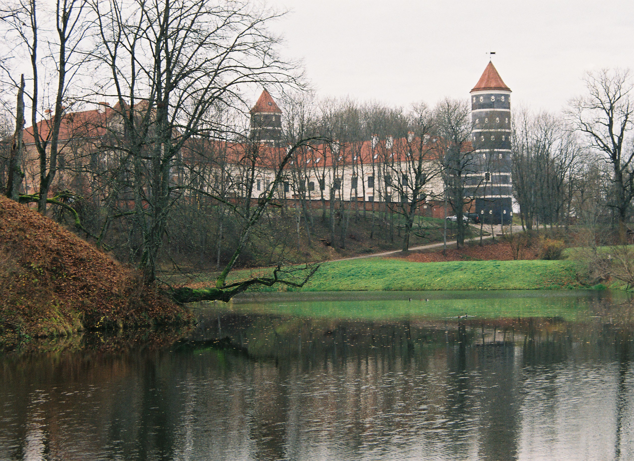
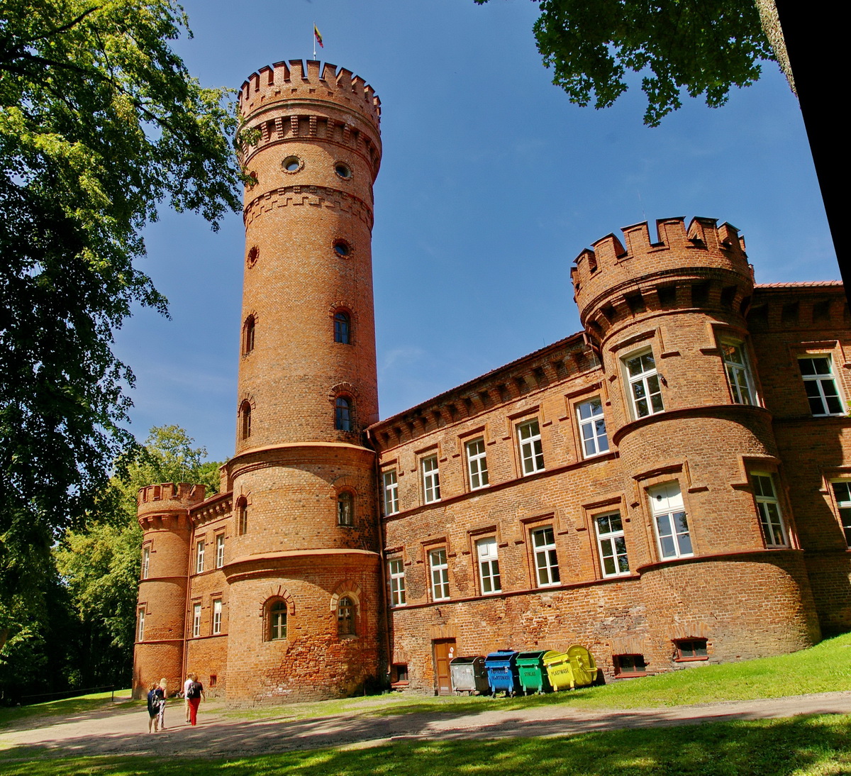
Panemunės pilis

Molyne Blick zur Memel

Pilis I
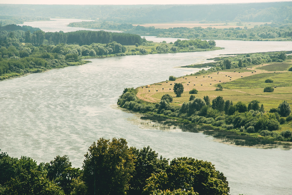
Nemunas River

Pilis II

Pilis I

Pilis I

Pilis I

Ella grimheden


Jag är bäst

Žiemos kelias
Baltikum August 2016

Gintare Arman Elze
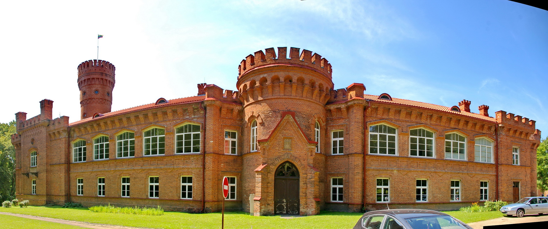
IMGP1980 Stitch
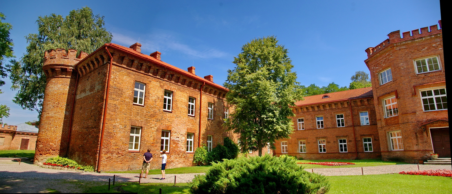
IMGP1987 Stitch

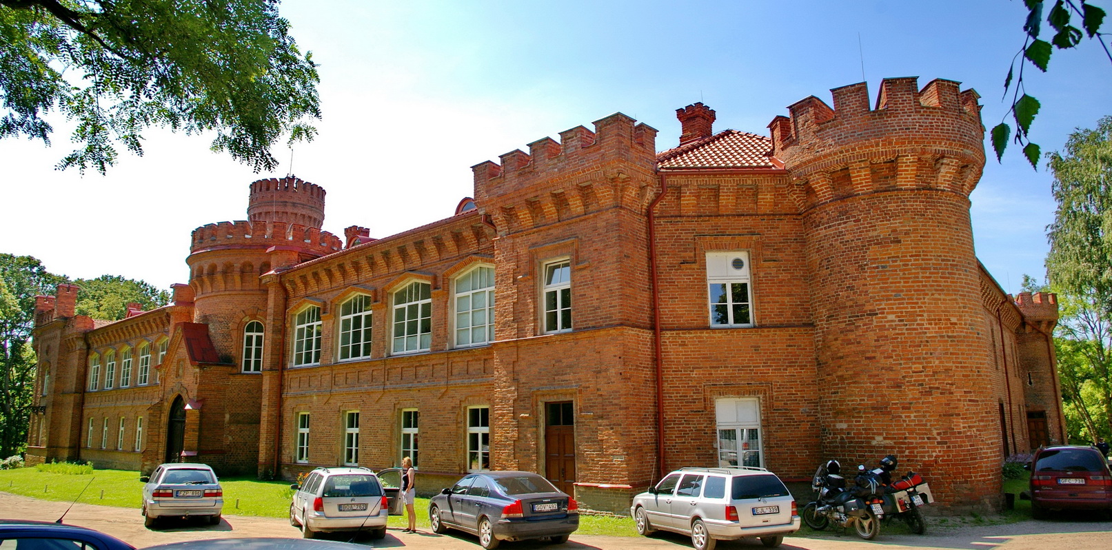
IMGP1998 Stitch
IMGP2006 Stitch
IMGP1975 Stitch
IMGP1925 Stitch
Topographic Map of Jurbarkas District Municipality, Lithuania
Find elevation by address:

Places in Jurbarkas District Municipality, Lithuania:
Places near Jurbarkas District Municipality, Lithuania:
Jurbarkas
Jurbarko Miesto Seniūnija
Šakiai
Šakiai District Municipality
Margiškiai
Raseiniai
Raseiniai District Municipality
Bijotai
8, Bijotai, Lithuania
Kelmė District Municipality
Kelmė
27, Verpena, Lithuania
A1
Kanapinė
Kaunas District Municipality
Šiauliai District Municipality
Tilžės G. 35
Kuršėnai
Šiauliai City Municipality
Darbininkų G. 5
Recent Searches:
- Elevation of Lumagwas Diversified Farmers Multi-Purpose Cooperative, Lumagwas, Adtuyon, RV32+MH7, Pangantucan, Bukidnon, Philippines
- Elevation of Homestead Ridge, New Braunfels, TX, USA
- Elevation of Orchard Road, Orchard Rd, Marlborough, NY, USA
- Elevation of 12 Hutchinson Woods Dr, Fletcher, NC, USA
- Elevation of Holloway Ave, San Francisco, CA, USA
- Elevation of Norfolk, NY, USA
- Elevation of - San Marcos Pass Rd, Santa Barbara, CA, USA
- Elevation of th Pl SE, Issaquah, WA, USA
- Elevation of 82- D Rd, Captain Cook, HI, USA
- Elevation of Harlow CM20 2PR, UK