Elevation of Juniper Creek Rd, Milton, FL, USA
Location: United States > Florida > Santa Rosa County > Milton >
Longitude: -87.079907
Latitude: 30.878468
Elevation: 34m / 112feet
Barometric Pressure: 101KPa
Elevation Map:
Satellite Map:
Related Photos:

Milton, Florida

Milton, Florida

Scaly blazing star

Scaly blazing star

Man of the earth

Narrowleaf or swamp sunflower

Quilt for big brother Jonah

Clue 2

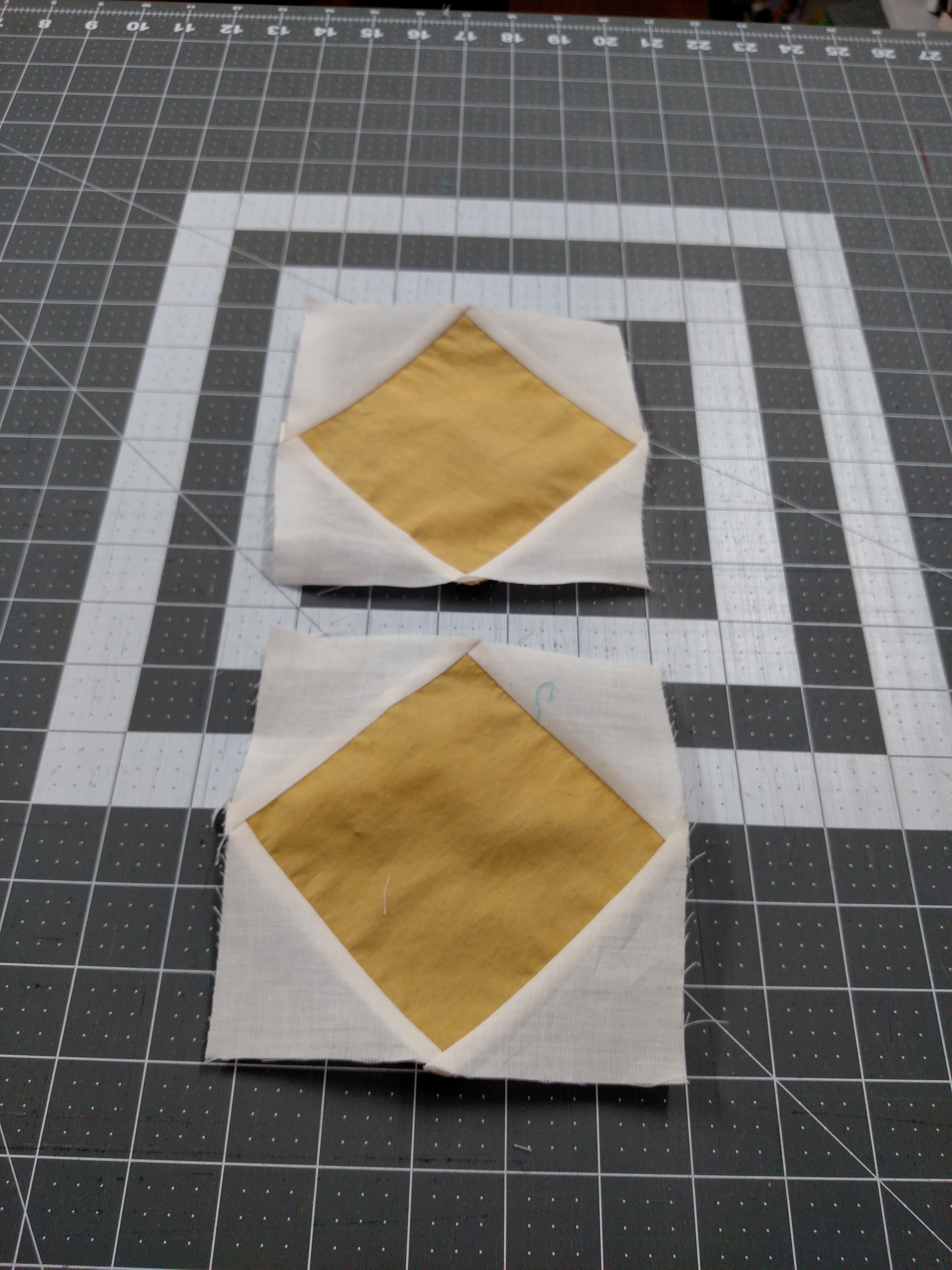
First 6 blocks for 2016 mystery

Front side of a special quilt
Clue 3

Frank's quilt

Alabama quilt made for DH.

MSQC mystery - rows put together

August blocks
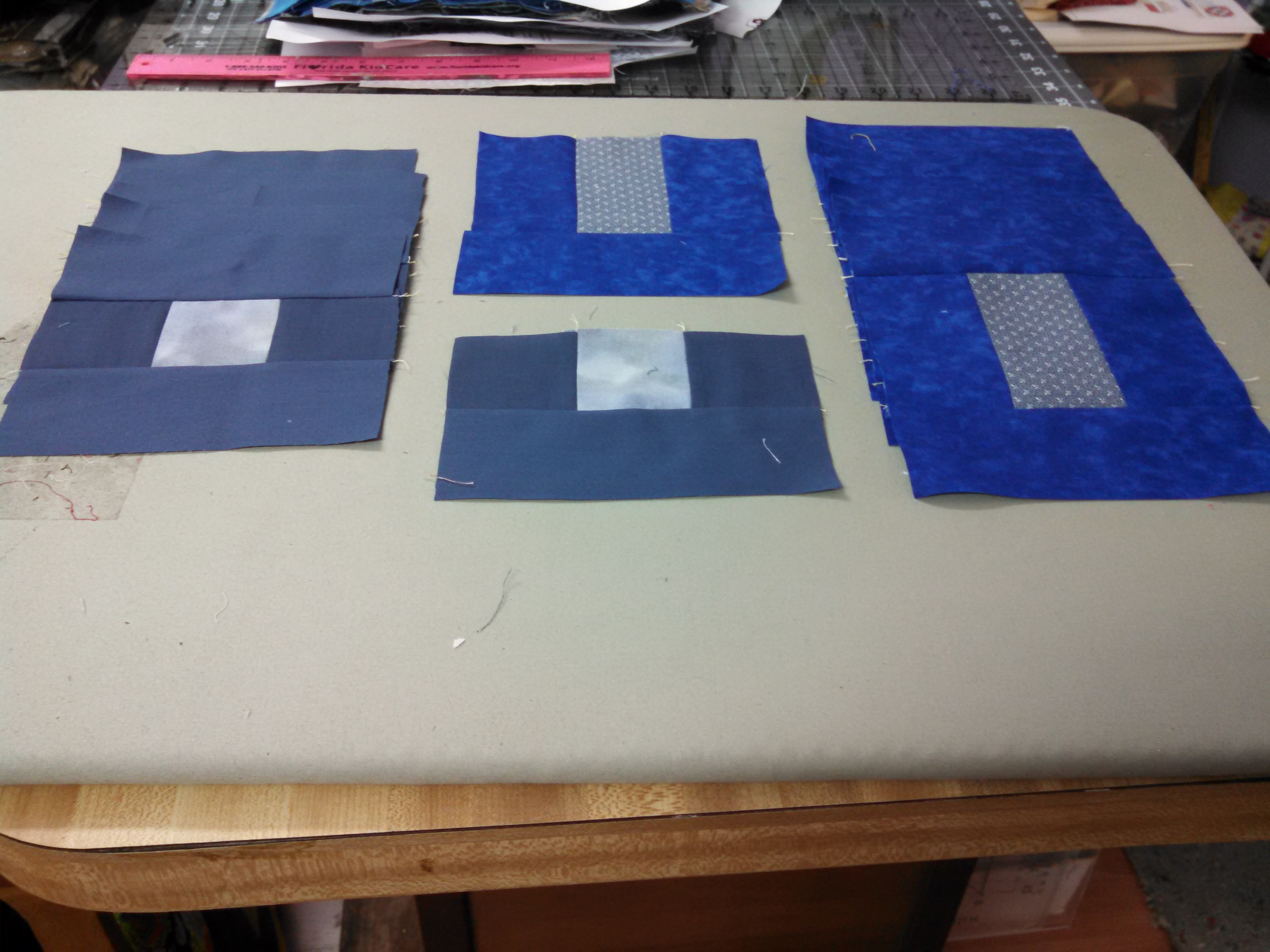
Clue #4
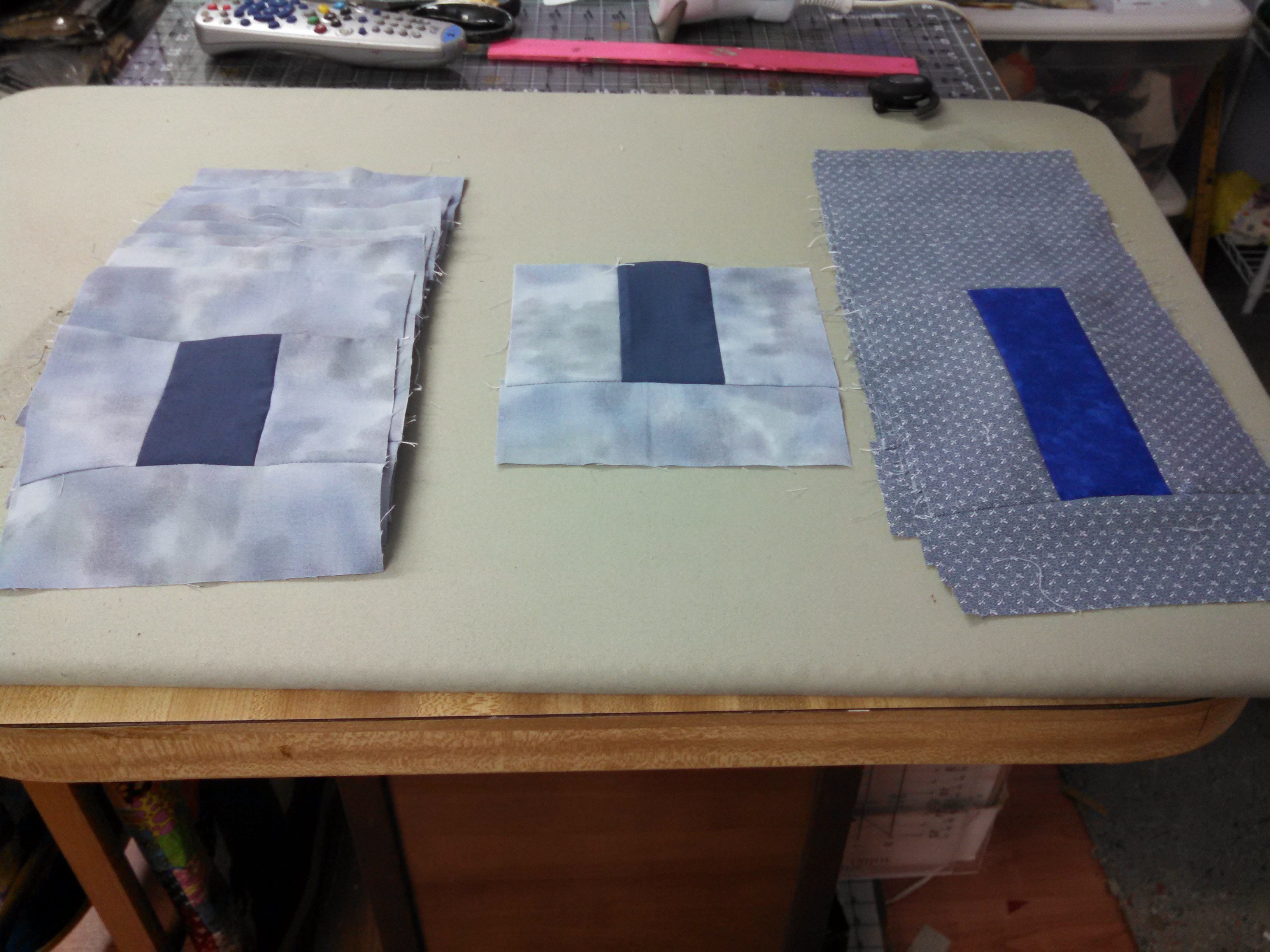
MSQC mystery clue 2

Momma #3

Our Garden (June 2013)

2012-04-01 12.17.25

Anna's Kindergarten Graduation

Winter Wheat
Topographic Map of Juniper Creek Rd, Milton, FL, USA
Find elevation by address:

Places near Juniper Creek Rd, Milton, FL, USA:
Manning Creek
Lewis Rd, Milton, FL, USA
6110 Southridge Rd
James Jernigan Rd, Jay, FL, USA
5899 Central School Rd
Allentown Road
FL-87, Milton, FL, USA
Springhill Road
Santa Rosa County
6218 Clear Creek Rd
8167 Whiting Field Cir
Pine Lake Circle
7700 Uss Enterprise St
47 Pine Lake Dr
7381 Copter Ln
Tidwell Road
Kolb Road
4800 Kolb Rd
4800 Kolb Rd
4800 Kolb Rd
Recent Searches:
- Elevation of Duckhorn Ct, Las Vegas, NV, USA
- Elevation of Garretts Run Rd, Ford City, PA, USA
- Elevation of N WI-55, Freedom, WI, USA
- Elevation map of Hadiya, Ethiopia
- Elevation of Hosaina, Ethiopia
- Elevation of Verde Terrace, North Port, FL, USA
- Elevation of US-, Leesburg, FL, USA
- Elevation of Summit Dr, Kerrville, TX, USA
- Elevation of Hanson Rd, Cedaredge, CO, USA
- Elevation of Maxine St NE, Albuquerque, NM, USA