Elevation of Juneberry Dr, Seaford, DE, USA
Location: United States > Delaware > Sussex County > Seaford >
Longitude: -75.600720
Latitude: 38.681761
Elevation: 9m / 30feet
Barometric Pressure: 101KPa
Elevation Map:
Satellite Map:
Related Photos:
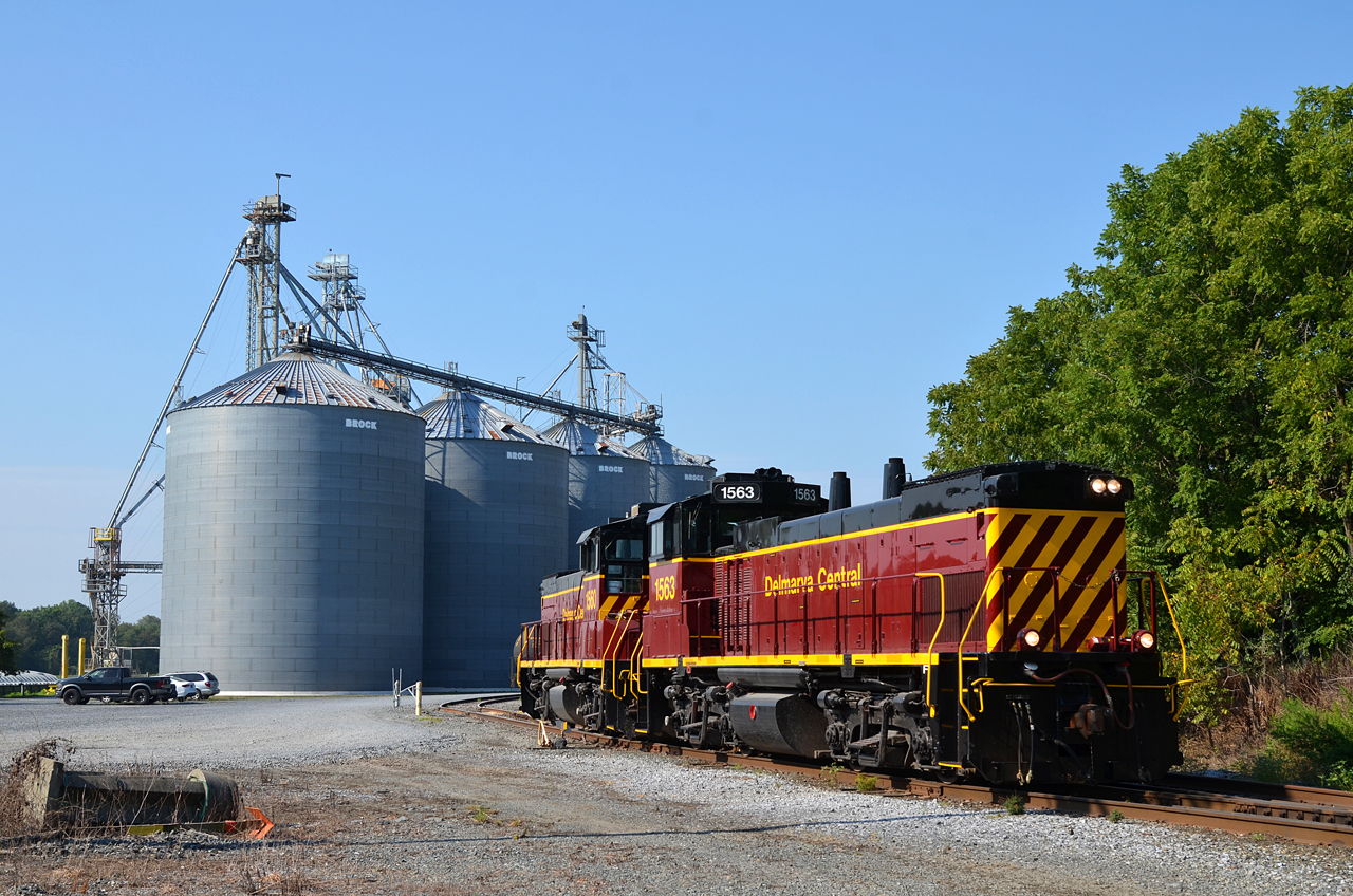
2017 08-03 0913 DCR MP15N-1563, 1560 SE-1, Seaford, DE

Mushroom - Explored
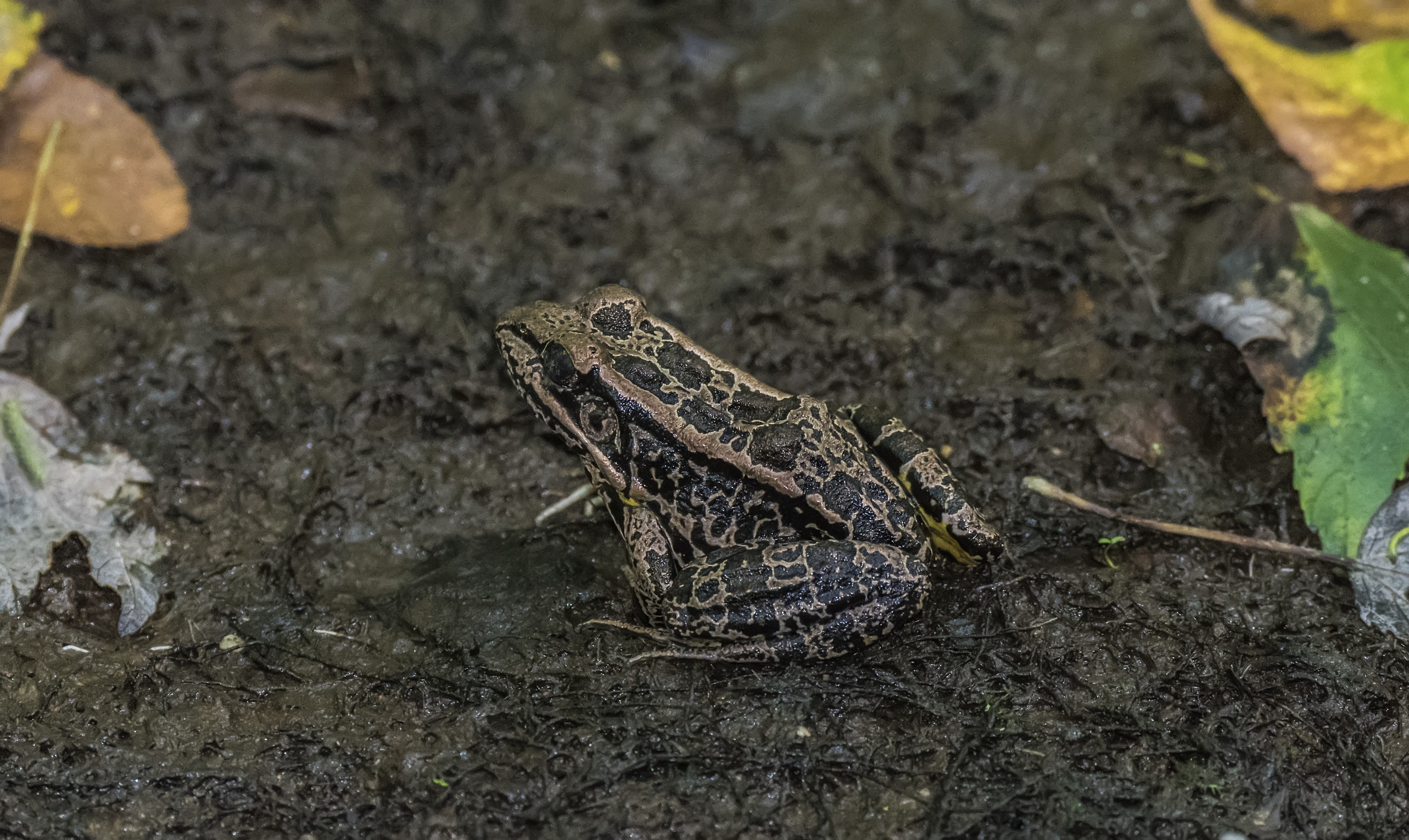
A Strange Marked Pickerel Frog -- Side View
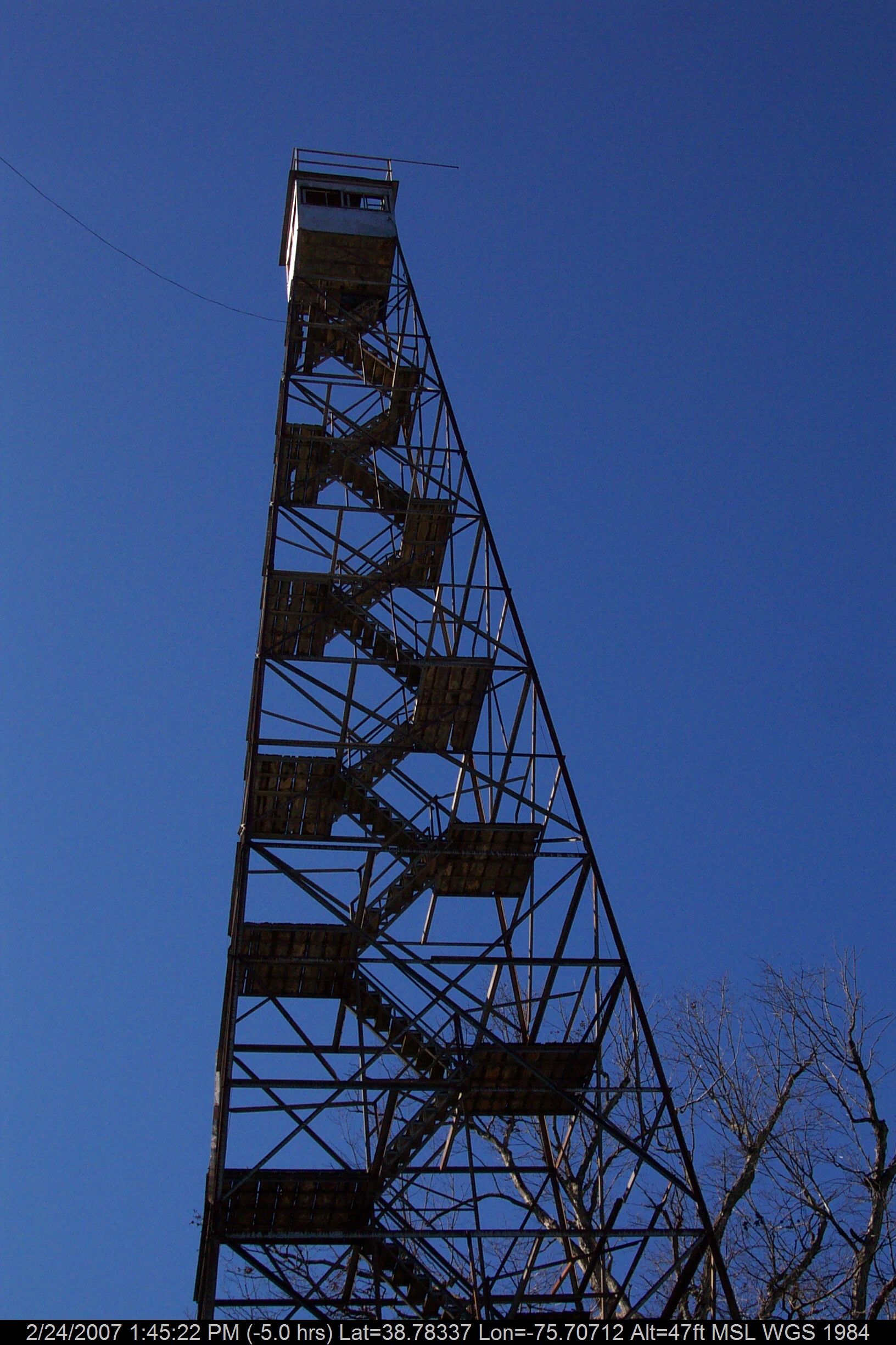
Stateline Marker Old Firetower
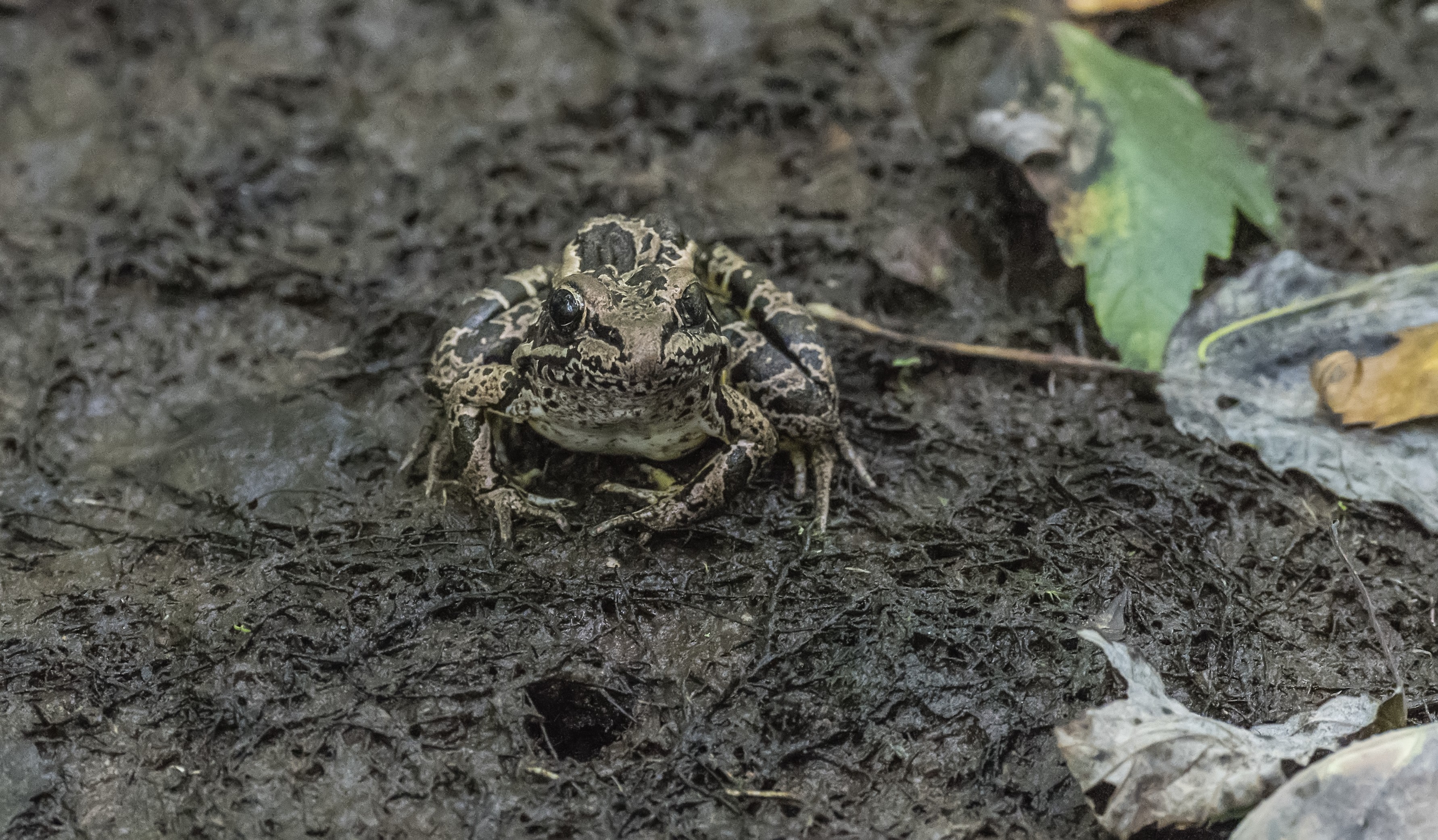
A Strange Marked Pickerel Frog -- Front View
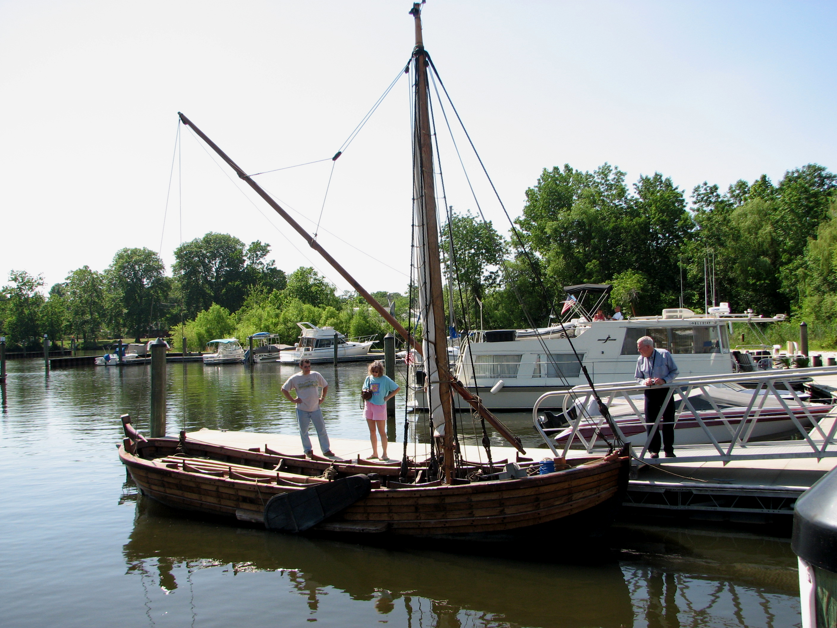
Replica of Captain John Smith's shallop
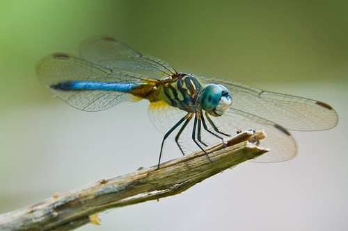
My Favorite Dragonfly

Abandoned DE Diner- rear view

Tarpaulins partway got blew down by Delmarva fierce windstorm, & now the weird secrets of the little fenced-in area are all out & unenshrouded where people can see.
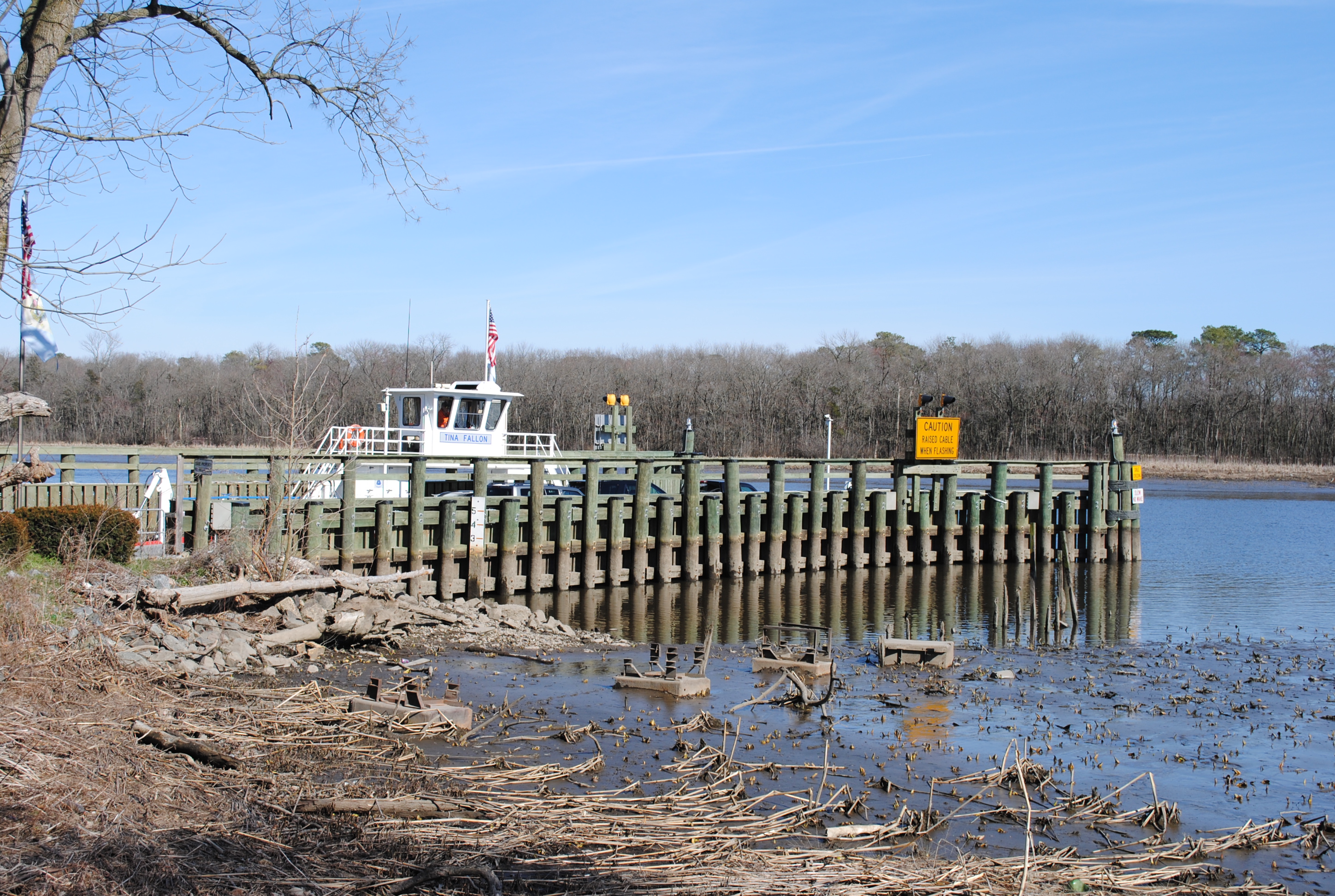
Woodland Ferry

Little Yellow Bugs
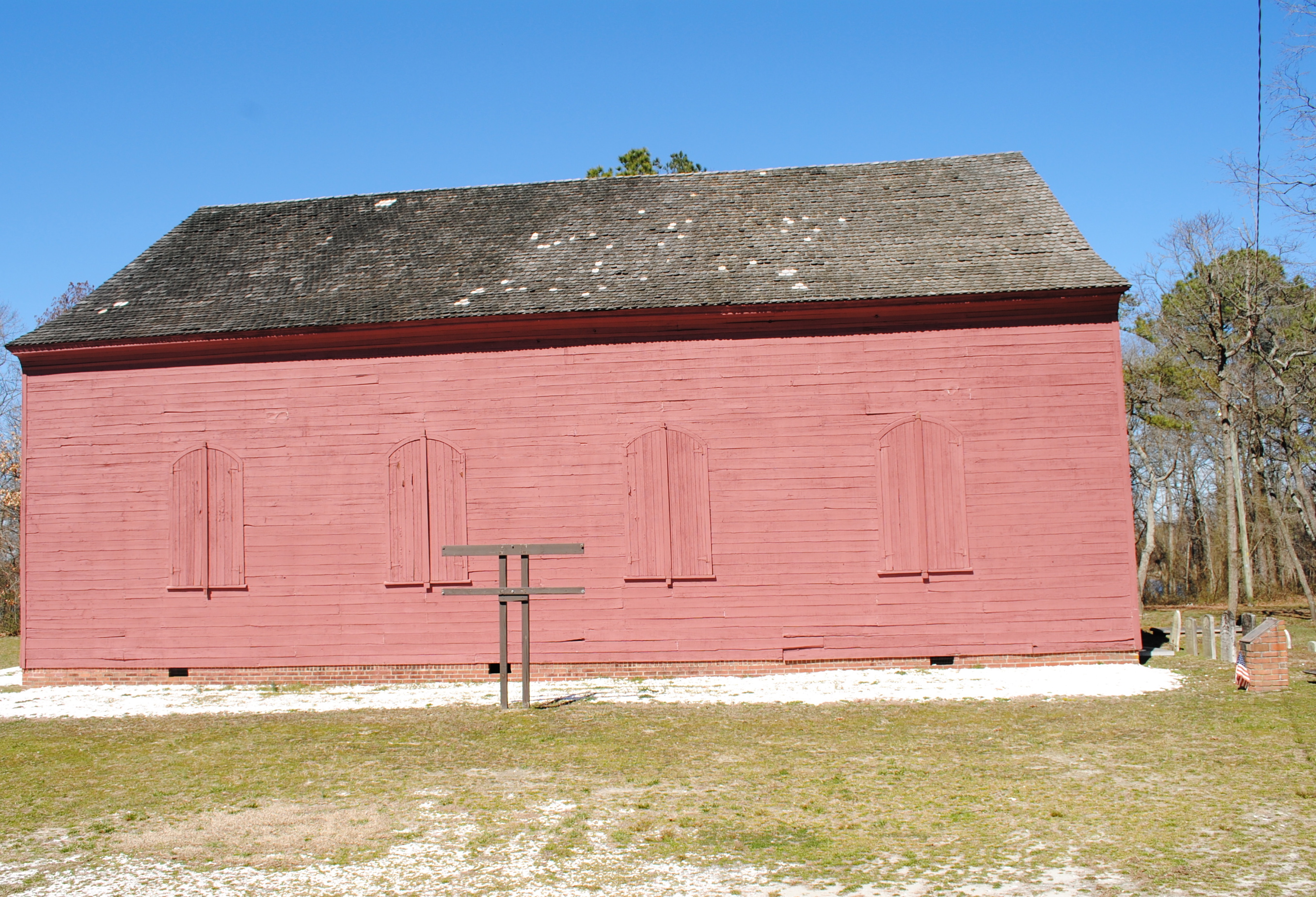
Old Christ Church - Laurel, Delaware
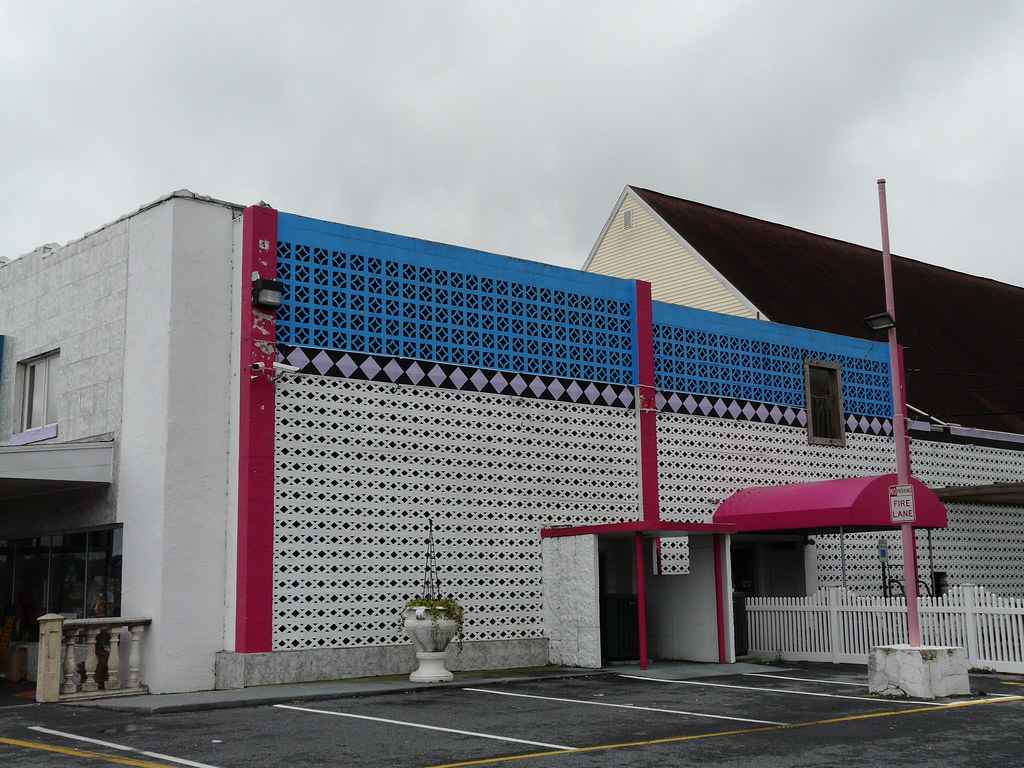
Side View of Pet Emporium

dinobalz New Nike Hat

Woodland Ferry
Marker in Sussex County
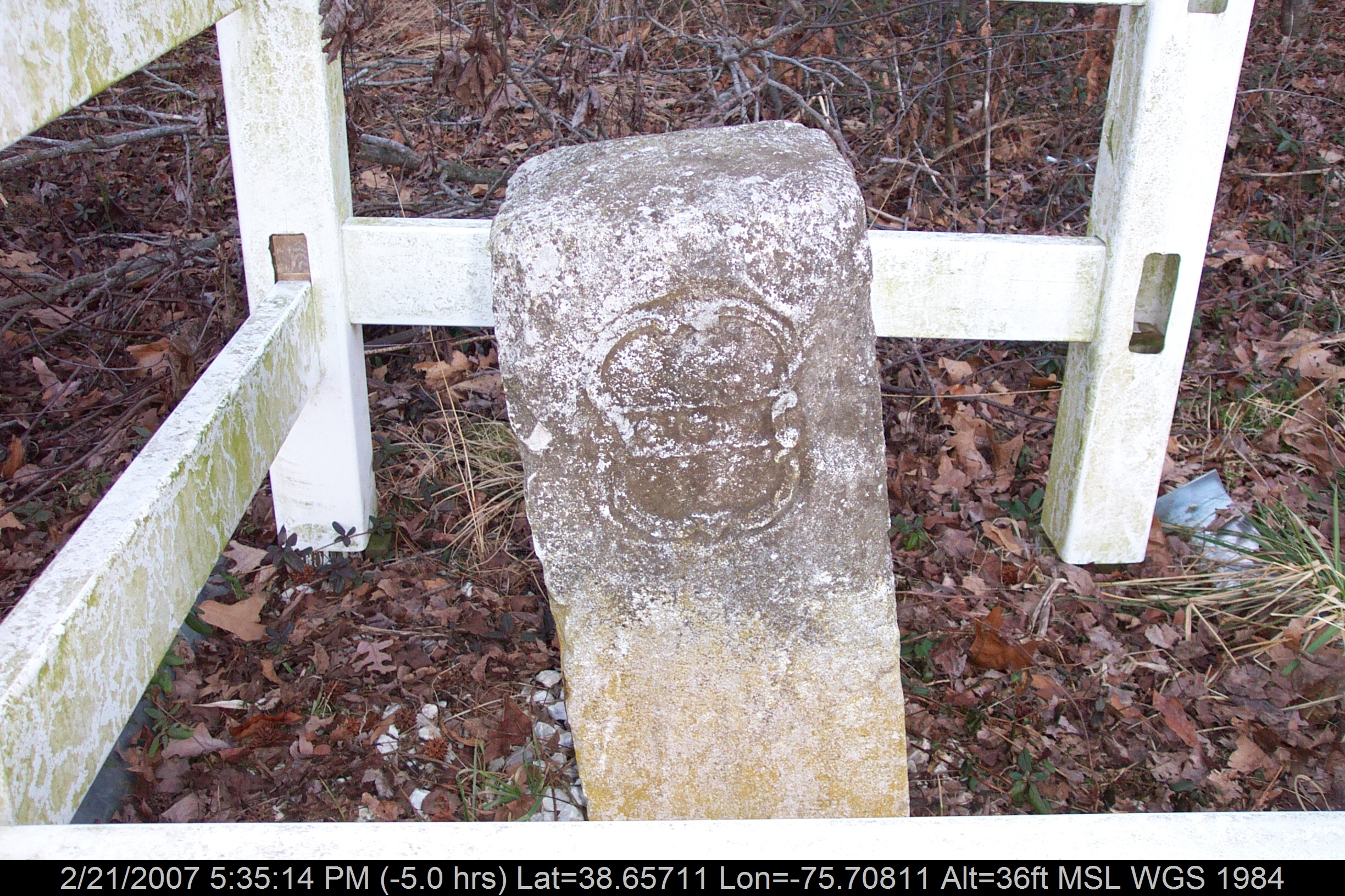
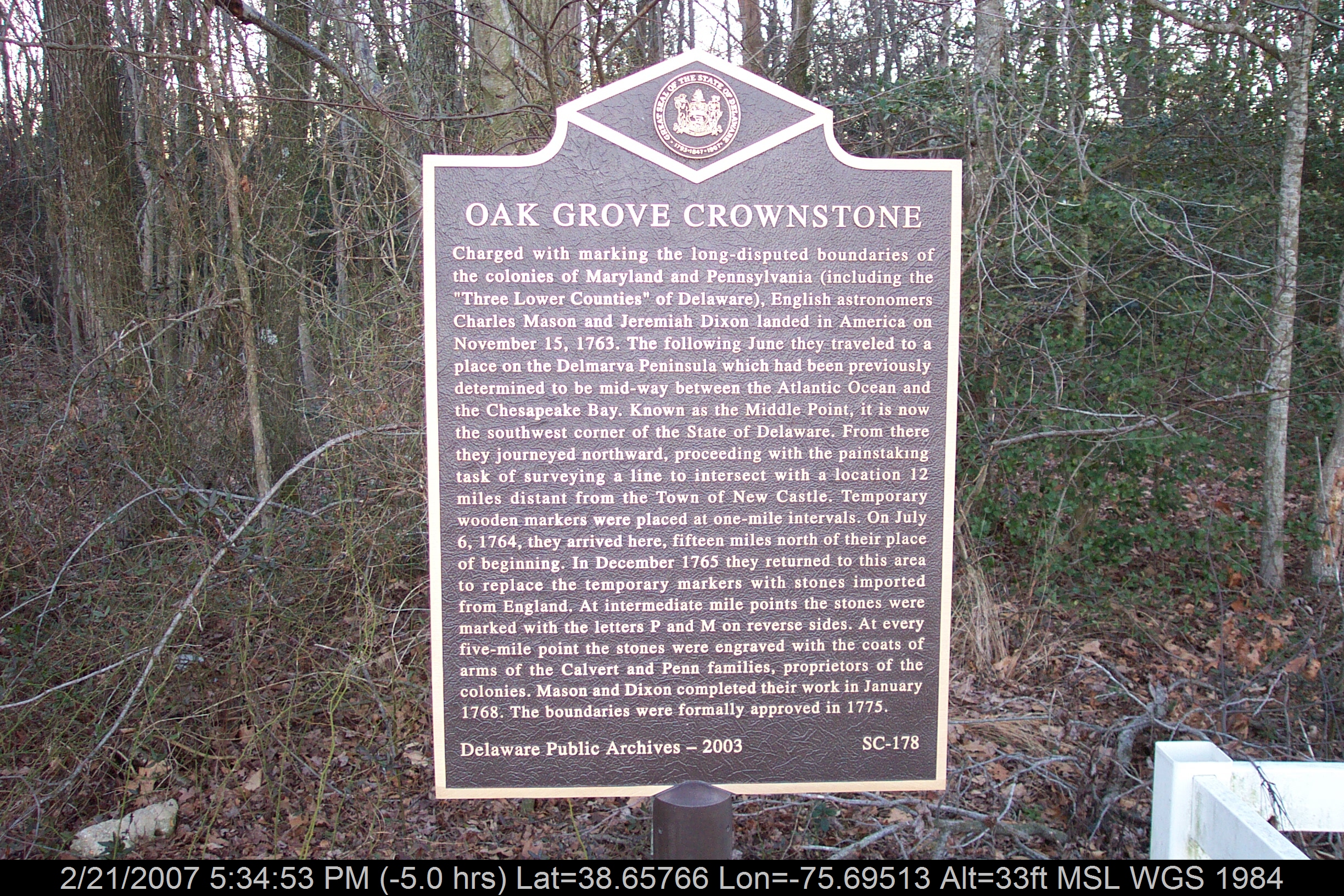
Mason-Dixon Line Marker
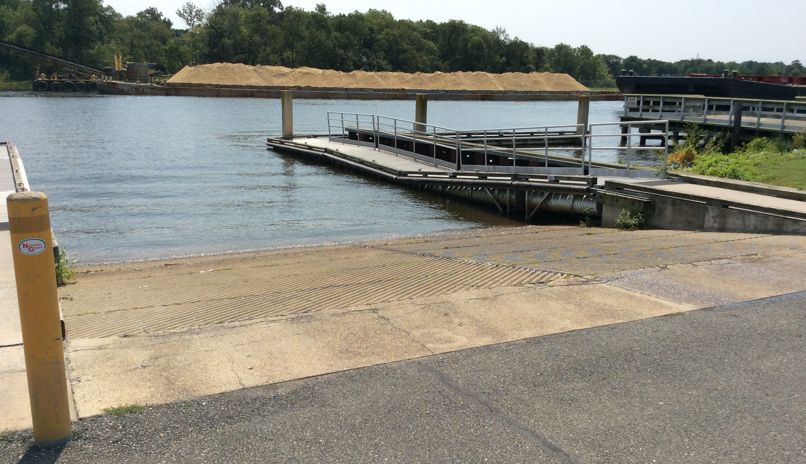
Seaford Boat Ramp Side View
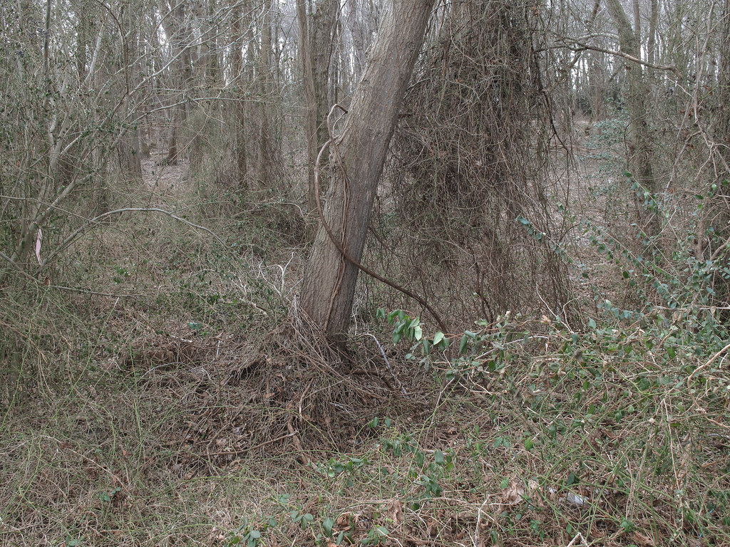
Ongoing progress of thorny thicket formation.

Marker at Old Christ Church
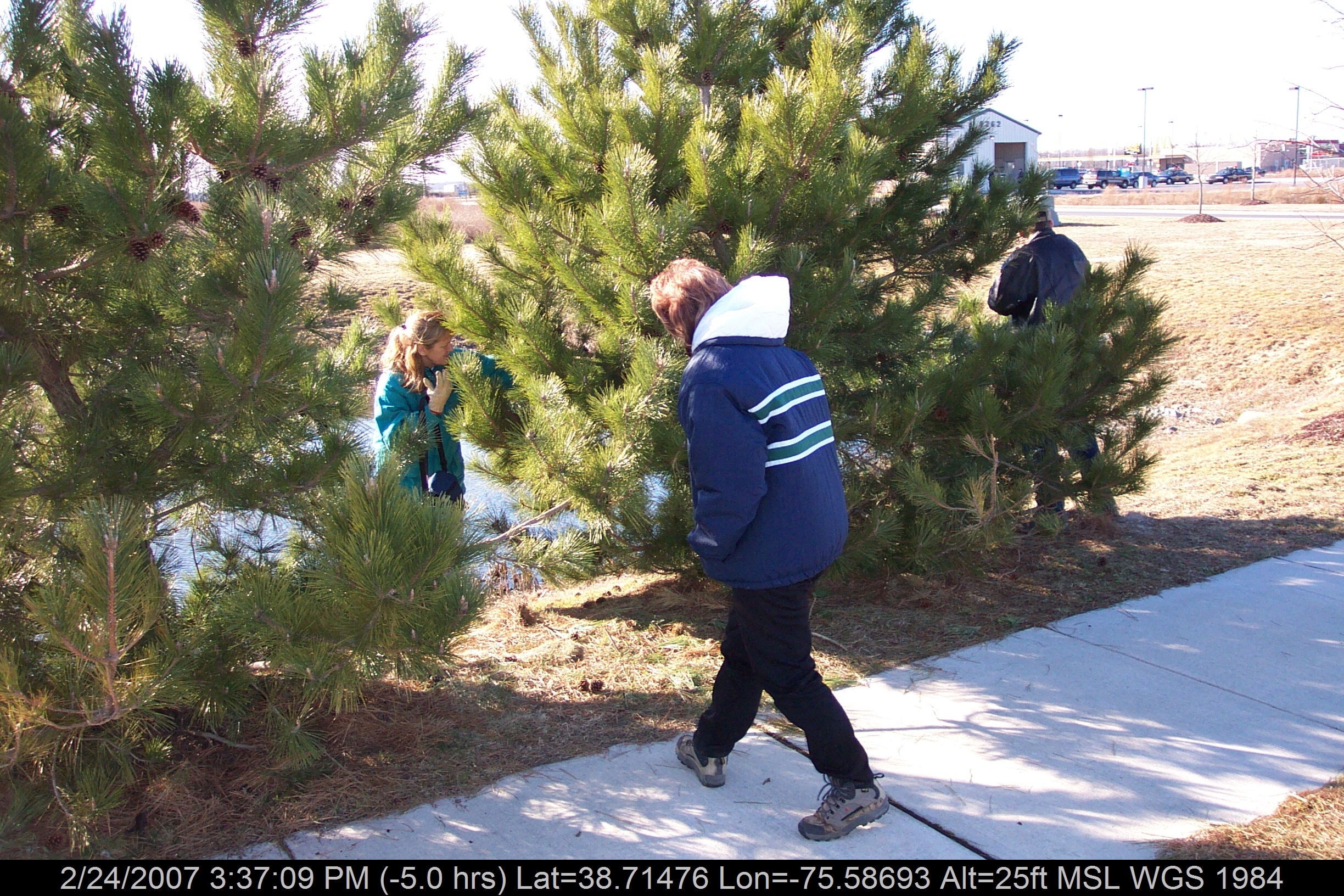
Girls Caching Team

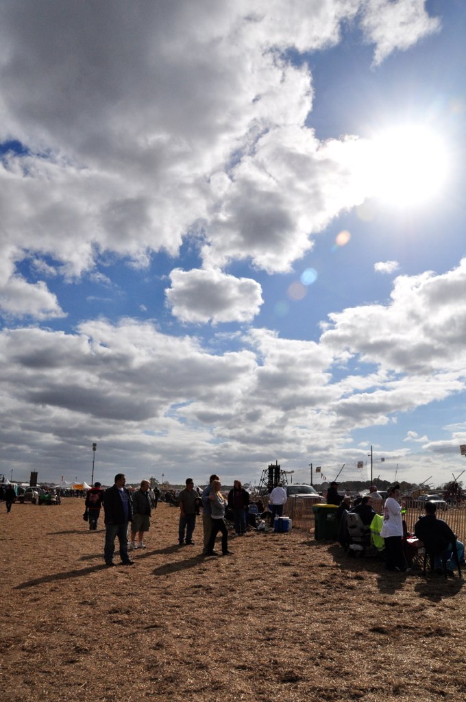
Good morning Sussex County ???? Day 66/365

D43A70AD-CA86-4B23-9133-9635F9C042F3

Soda Can Baseball: Round 2
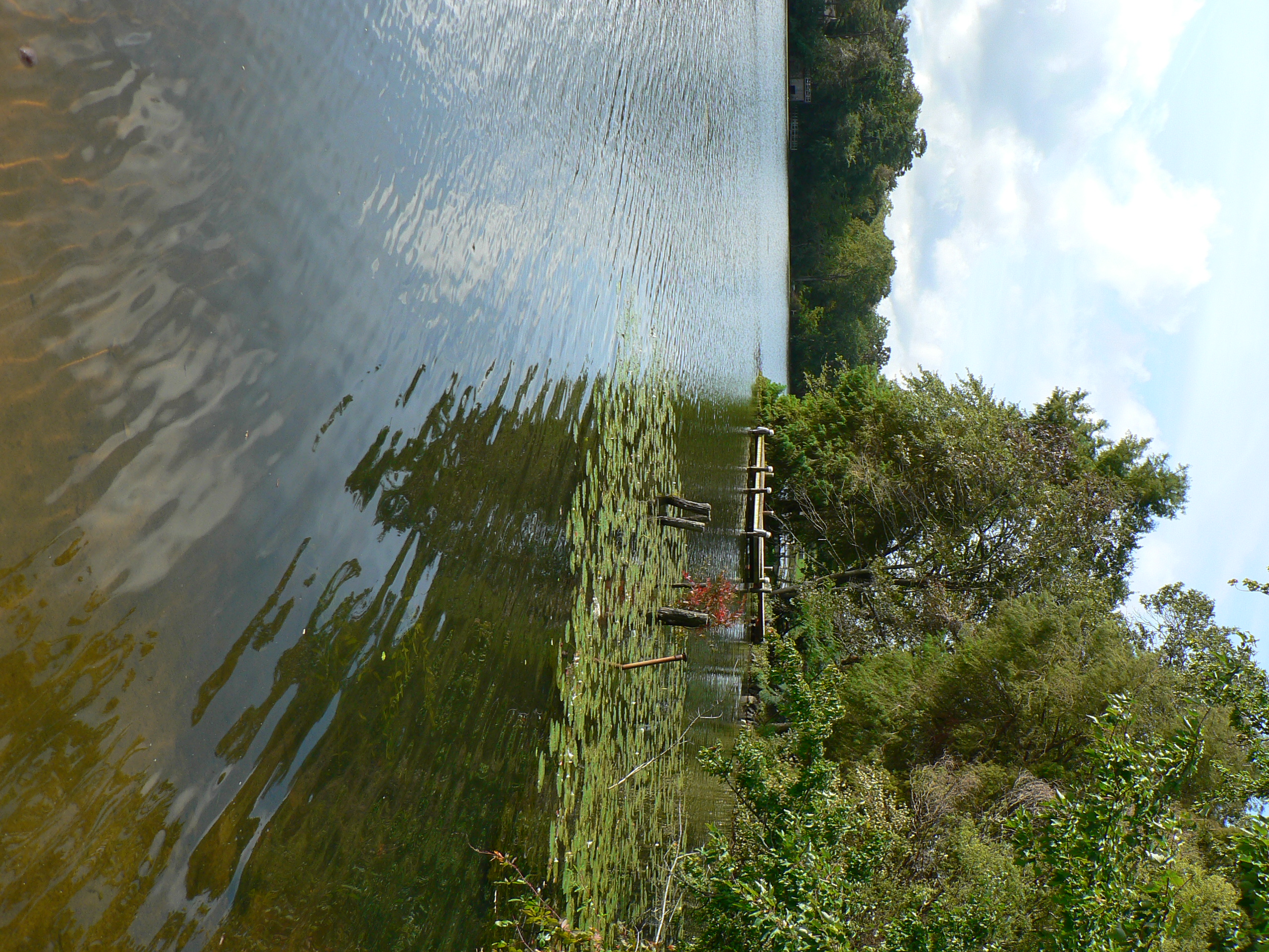
dock 2
Royal Farms Field
#laurel#delaware #clouds

rt. 13
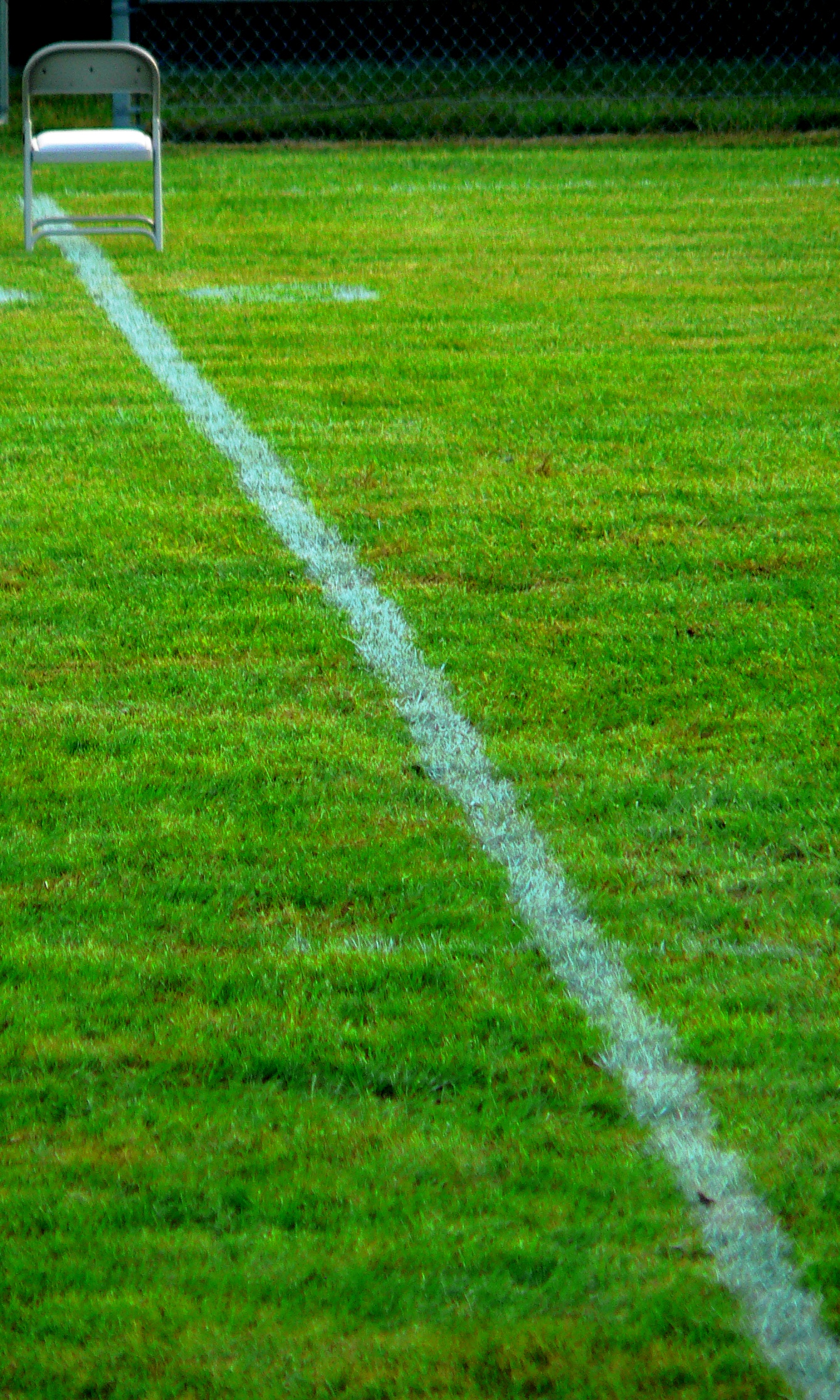
A Seat On The 50

Fields, Bridgeville, Delaware

Abandoned 2
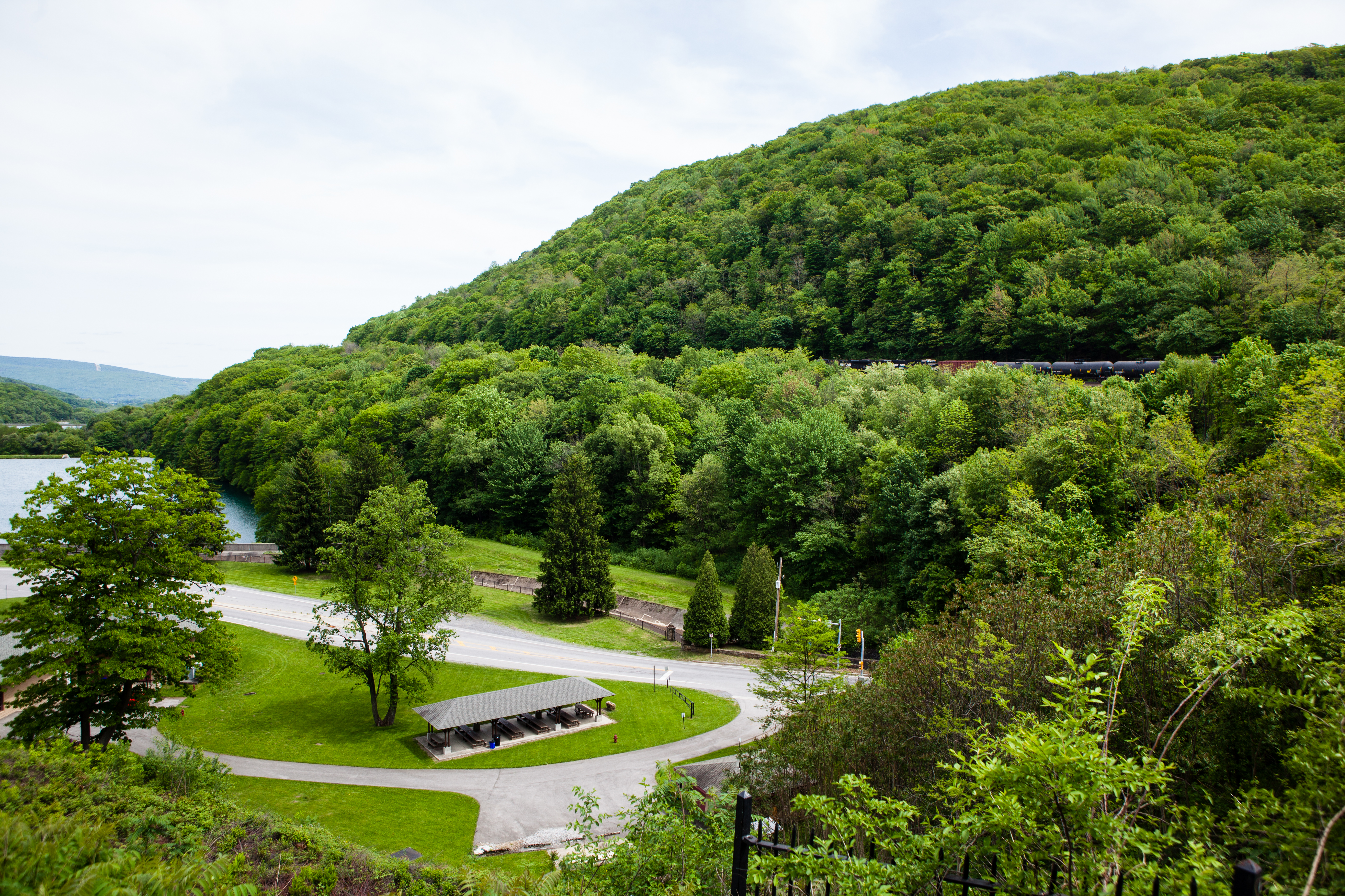
Horseshoe Curve National Historic Landmark

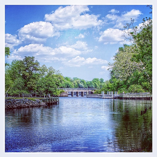
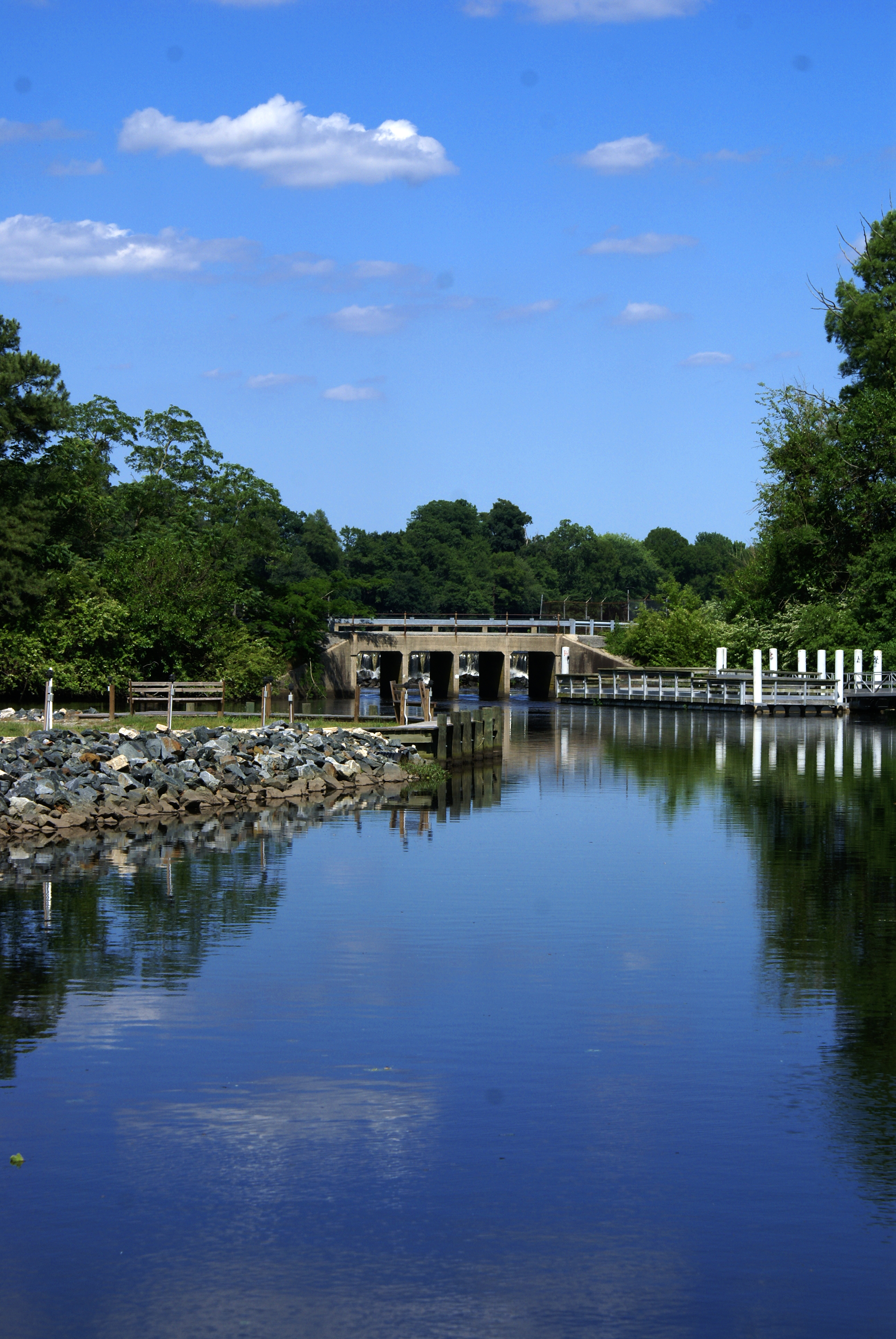
Upper Nanticoke River in Delaware looking north
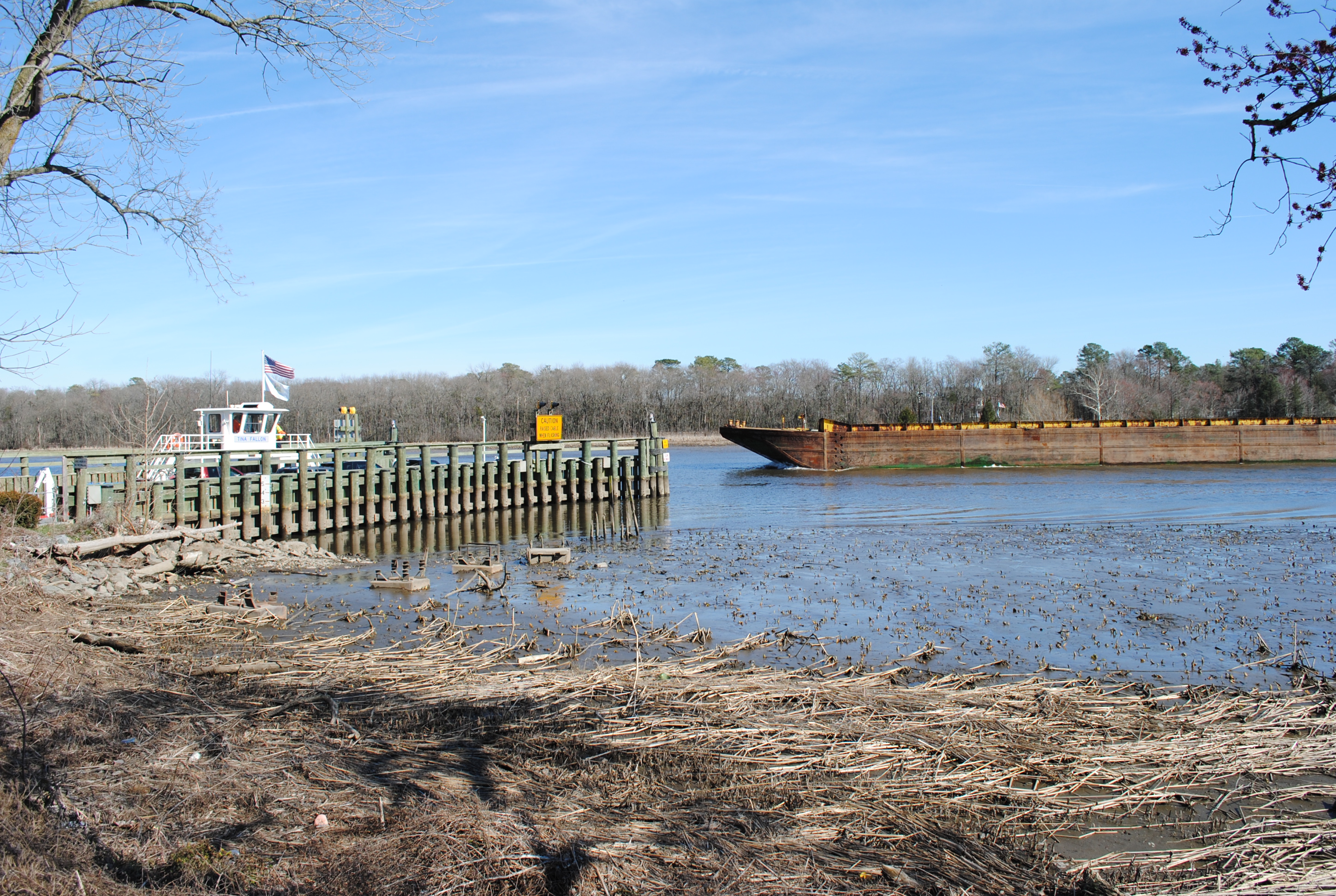
Woodland Ferry
Records Pond Laurel Delaware

Pumps are used to circulate water from the Nanticoke River through the Nanticoke Shad Hatchery

Galestown Millpond Dam

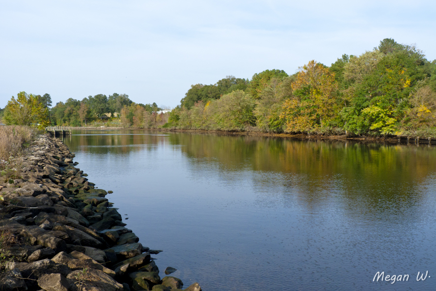
Upper Nanticoke River in Delaware looking south

Woodland Ferry
Marshy Hope
Topographic Map of Juneberry Dr, Seaford, DE, USA
Find elevation by address:

Places near Juneberry Dr, Seaford, DE, USA:
Hearns Pond Rd, Seaford, DE, USA
147 Valley Run
Maple Dr, Seaford, DE, USA
1 Heritage Shores Dr
115 Champions Dr
92 Whistling Duck Dr
Owls Nest Rd, Seaford, DE, USA
31 Harlequin Loop A9933
31 Harlequin Loop
108 Washington Ave
400 Sussex Ave
Briarhook Rd, Seaford, DE, USA
Bridgeville
106 Delaware Ave
5215 Rd 560a
Fruitland Ave, Bridgeville, DE, USA
Newton Way, Bridgeville, DE, USA
3751 Clagg Rd
Sussex Hwy, Greenwood, DE, USA
Greenwood
Recent Searches:
- Elevation of Tenjo, Cundinamarca, Colombia
- Elevation of Côte-des-Neiges, Montreal, QC H4A 3J6, Canada
- Elevation of Bobcat Dr, Helena, MT, USA
- Elevation of Zu den Ihlowbergen, Althüttendorf, Germany
- Elevation of Badaber, Peshawar, Khyber Pakhtunkhwa, Pakistan
- Elevation of SE Heron Loop, Lincoln City, OR, USA
- Elevation of Slanický ostrov, 01 Námestovo, Slovakia
- Elevation of Spaceport America, Co Rd A, Truth or Consequences, NM, USA
- Elevation of Warwick, RI, USA
- Elevation of Fern Rd, Whitmore, CA, USA