Elevation of Juanita Ave, Medford, OR, USA
Location: United States > Oregon > Jackson County > Medford >
Longitude: -122.84106
Latitude: 42.3402964
Elevation: 445m / 1460feet
Barometric Pressure: 96KPa
Elevation Map:
Satellite Map:
Related Photos:
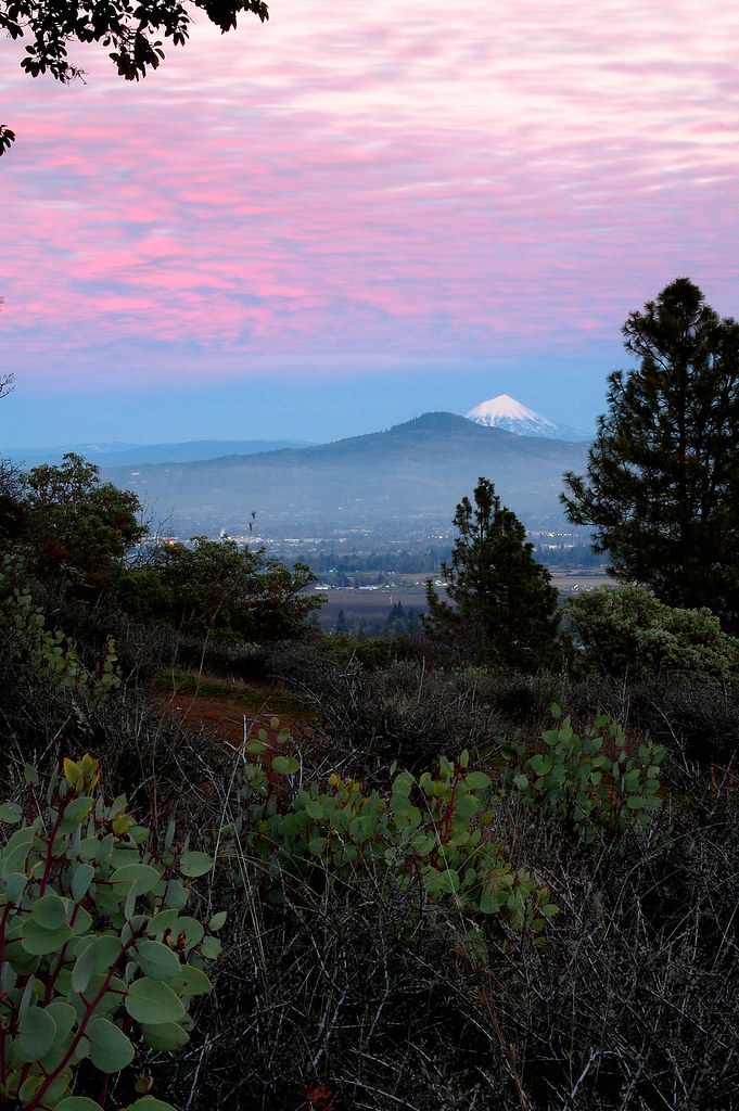
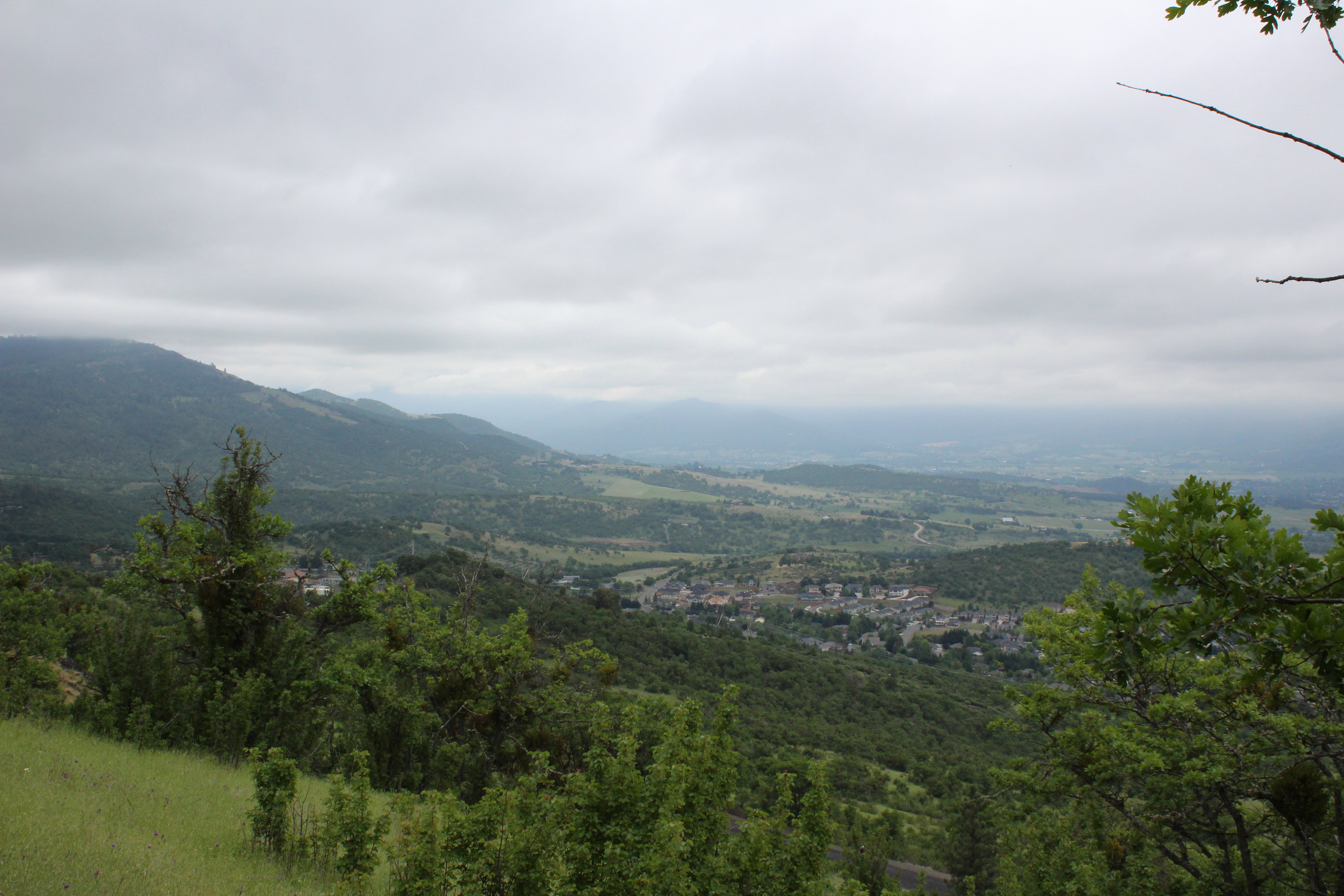
Jacksonville Viewpoint

Oriental Poppies
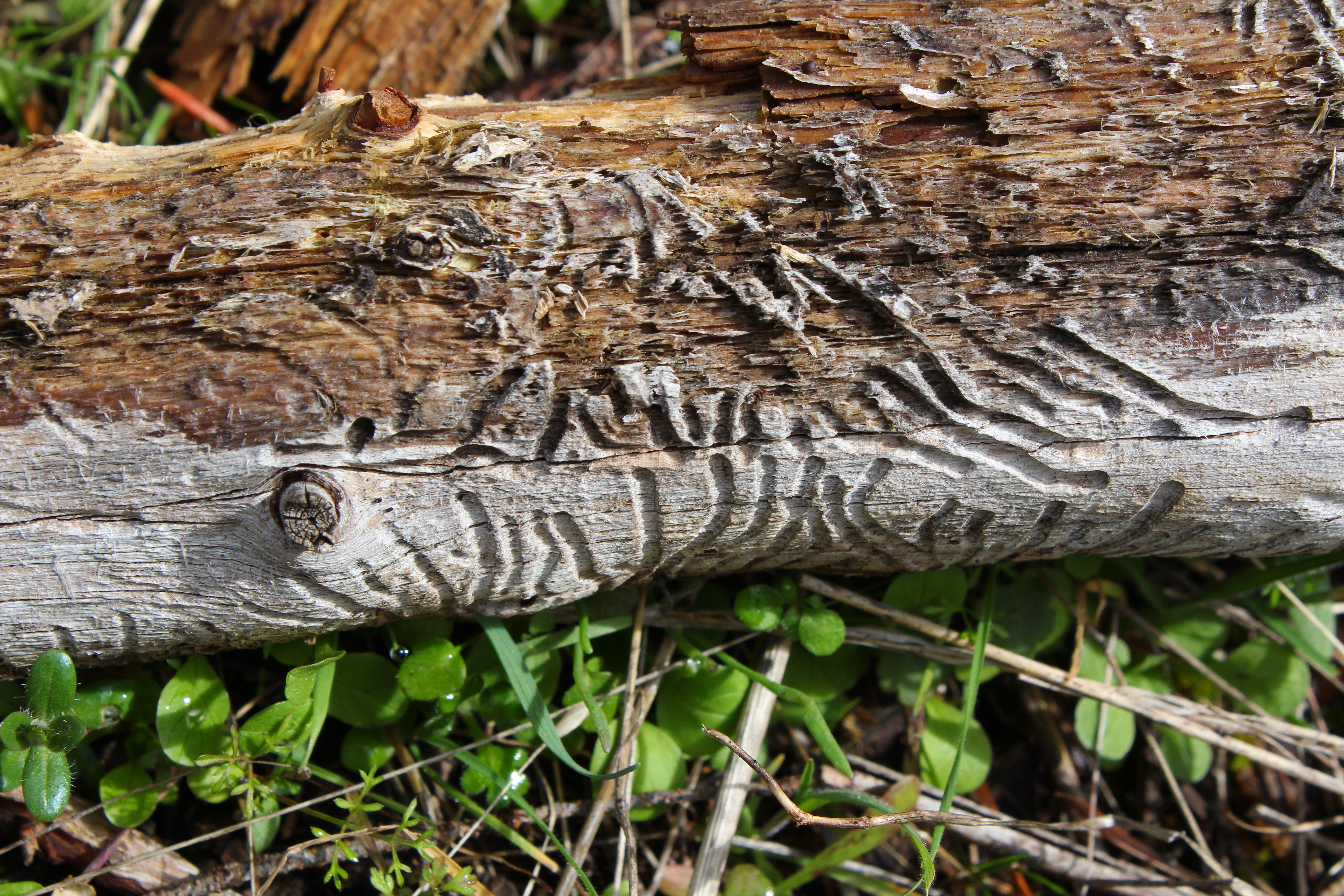
Beetle script
2011-09-04-018
Tree art on the East ART

View from Tablerock
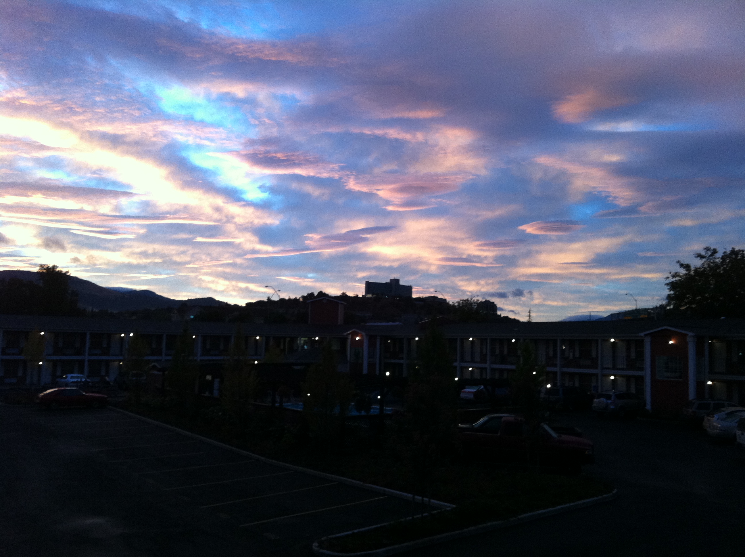
view from hotel2
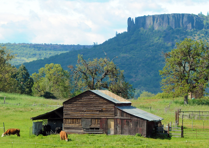
Lower Table Rock and Barn from I-5
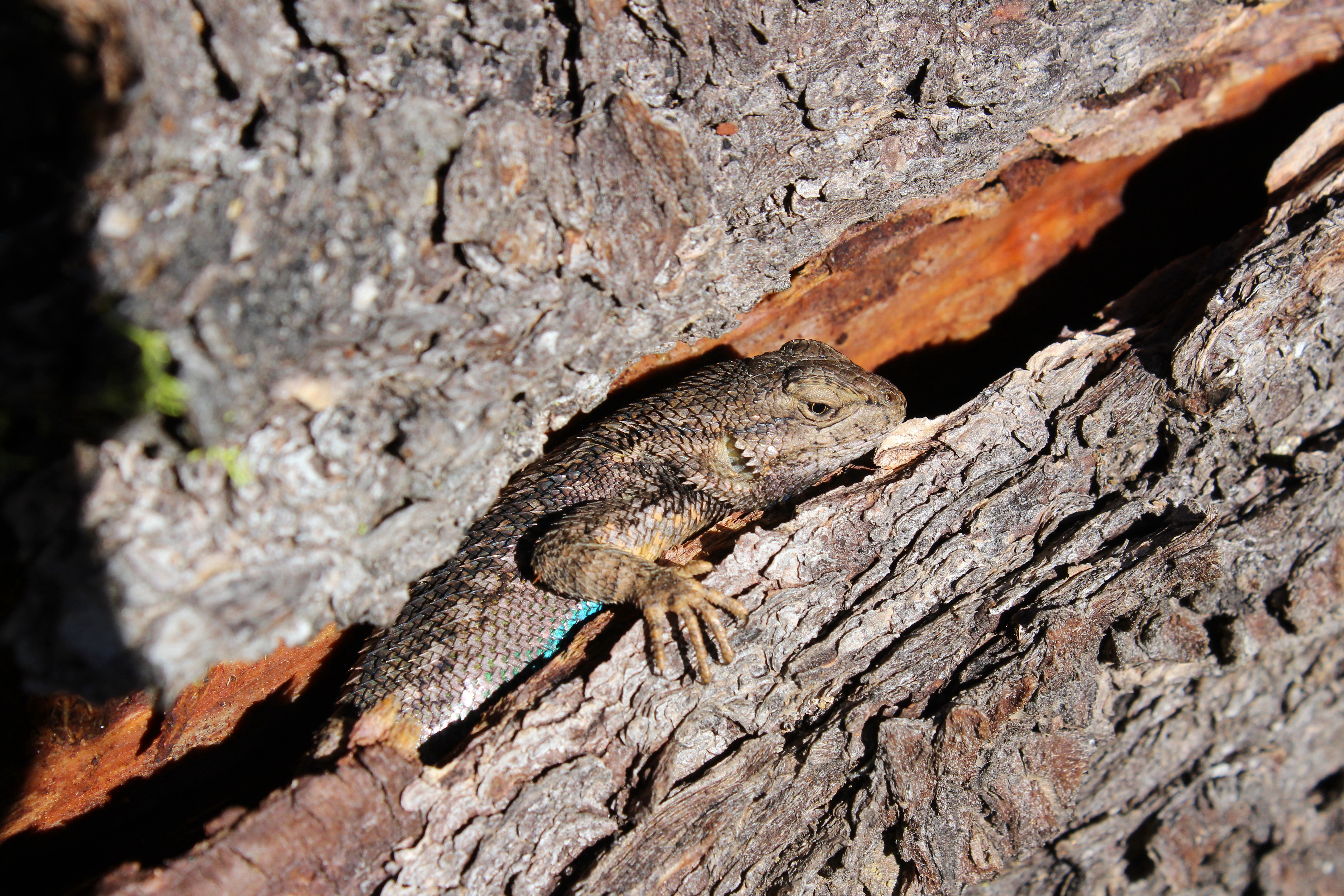
Oh crap, you found me!
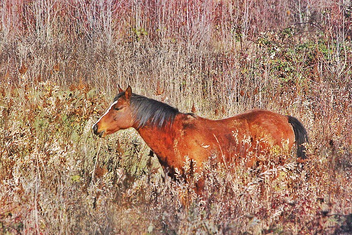
horse in tall grass

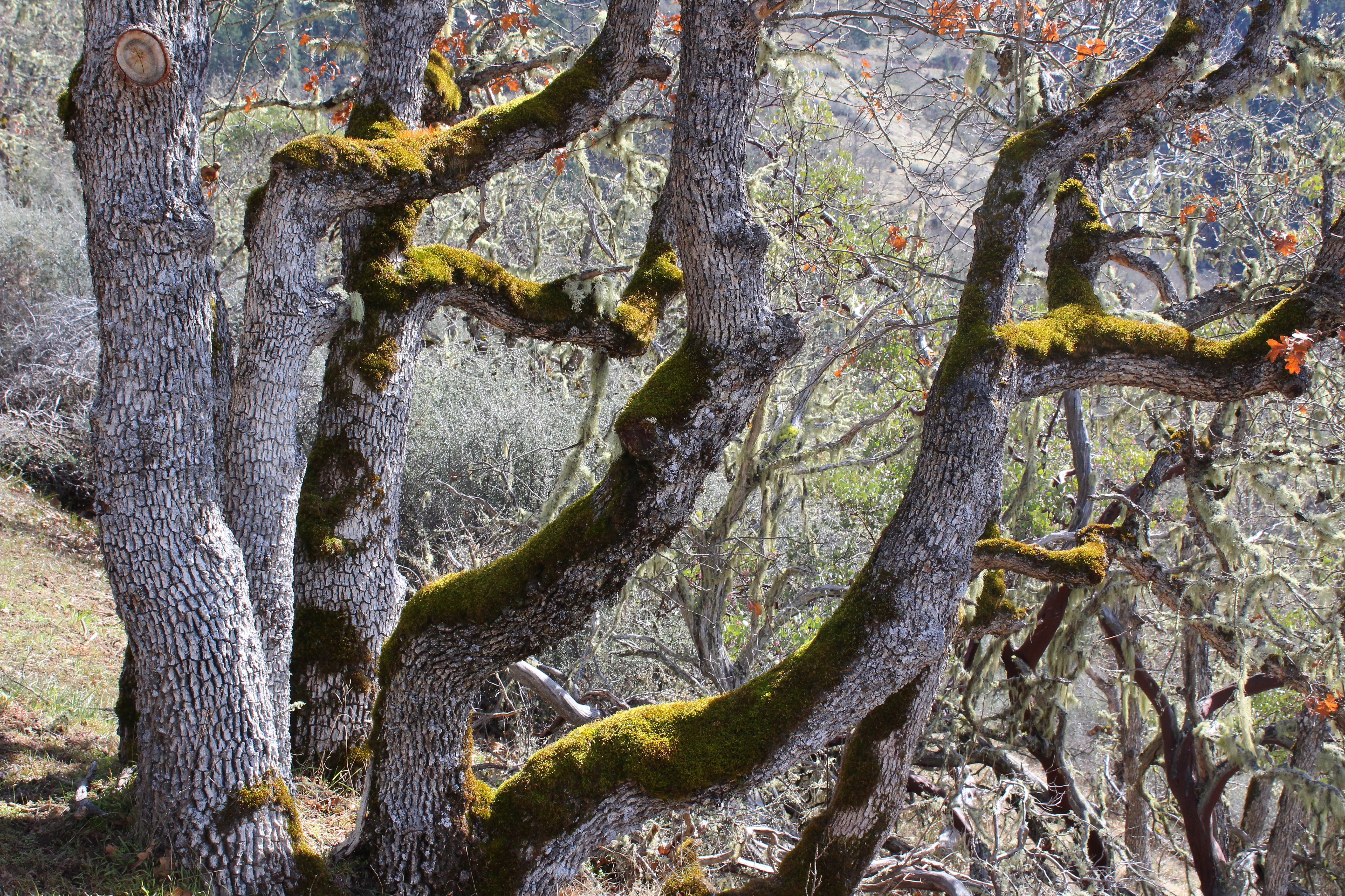
Madrones reach for the sky
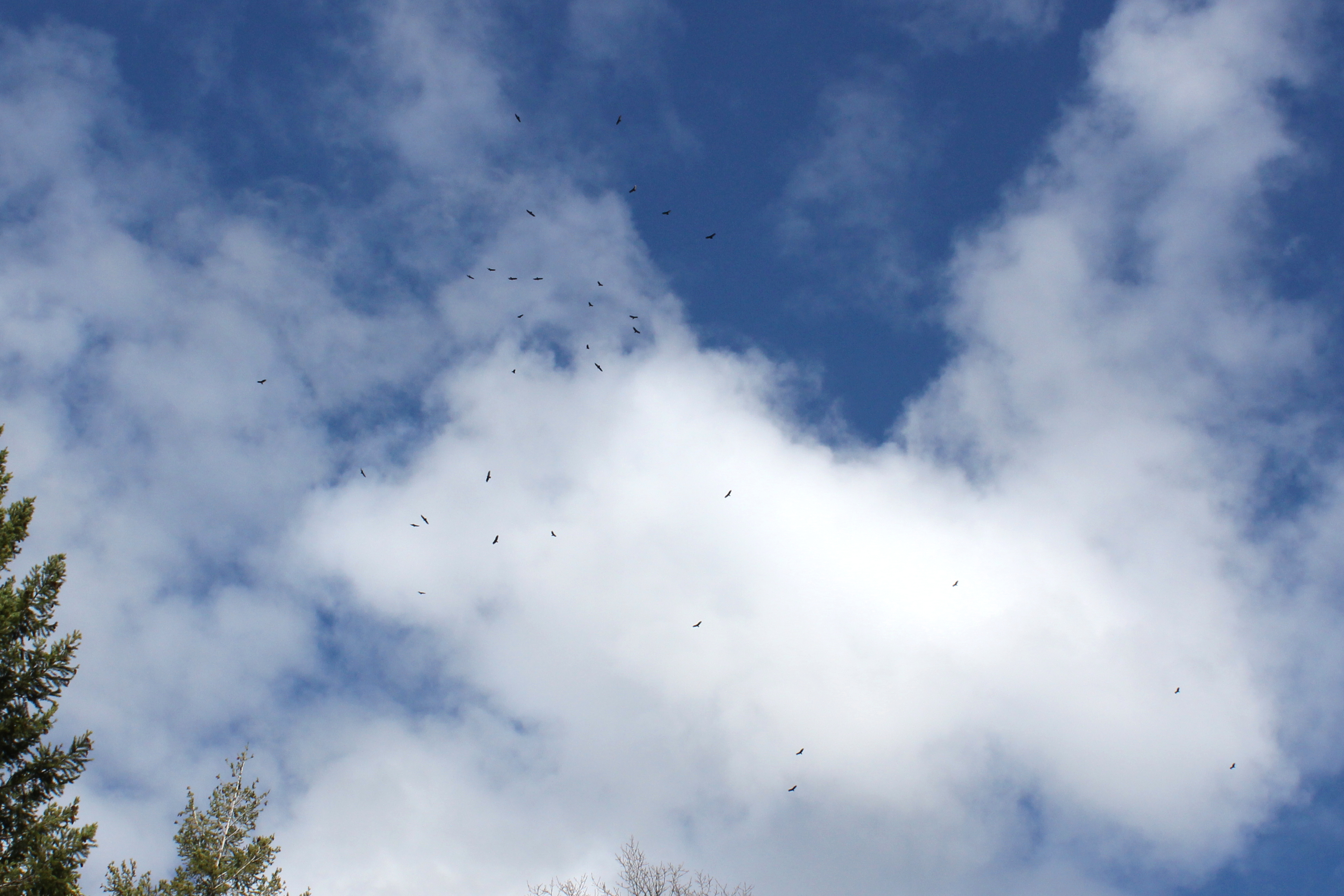
Dozens of buzzards circled over us

manor view

Harnessing the sun

Sunrise from the Columbia river gorge

Walking with the shutter open
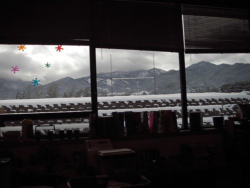
classroom view
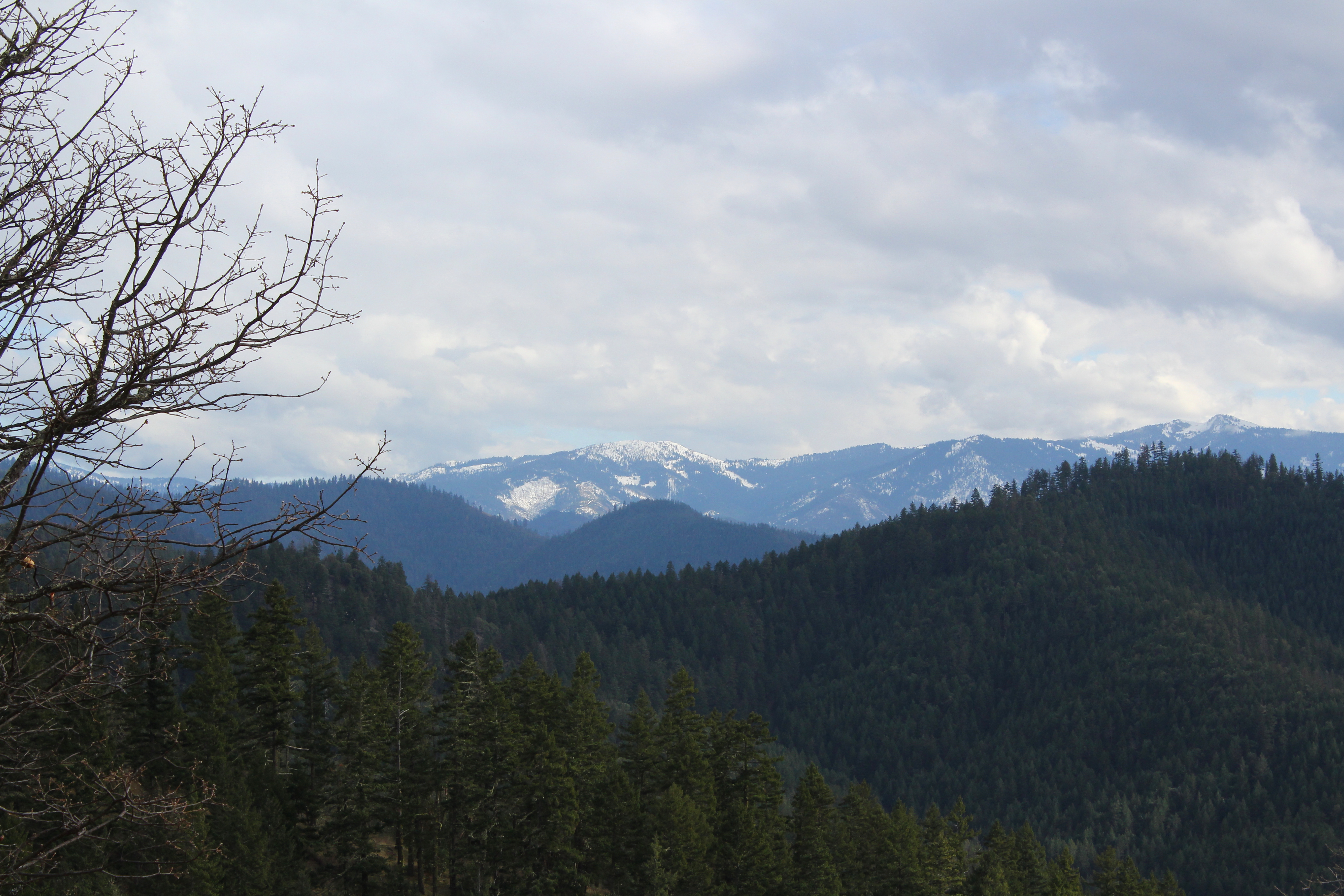
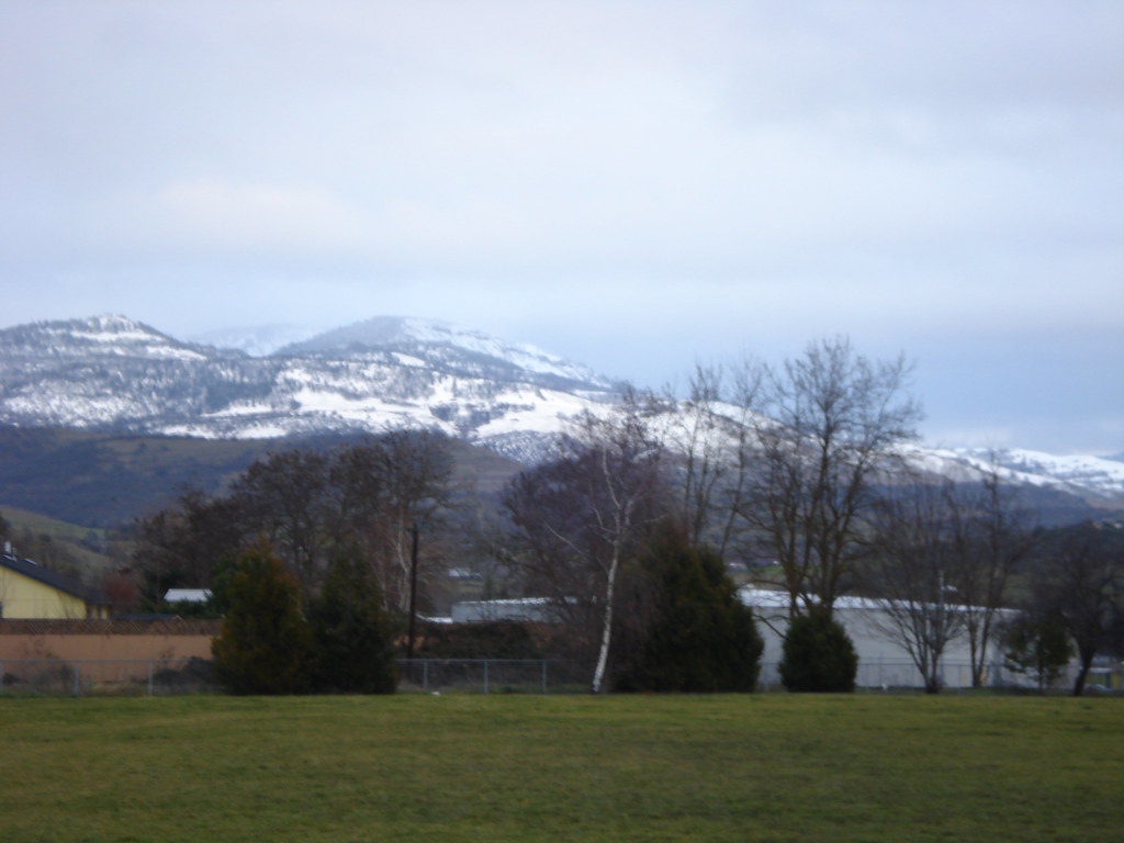
Still lots of snow in the Siskiyou foothills
the view from school

This was my view for one very unpleasant meal
Clouds took away the mountain views

Hiking Upper Table Rock
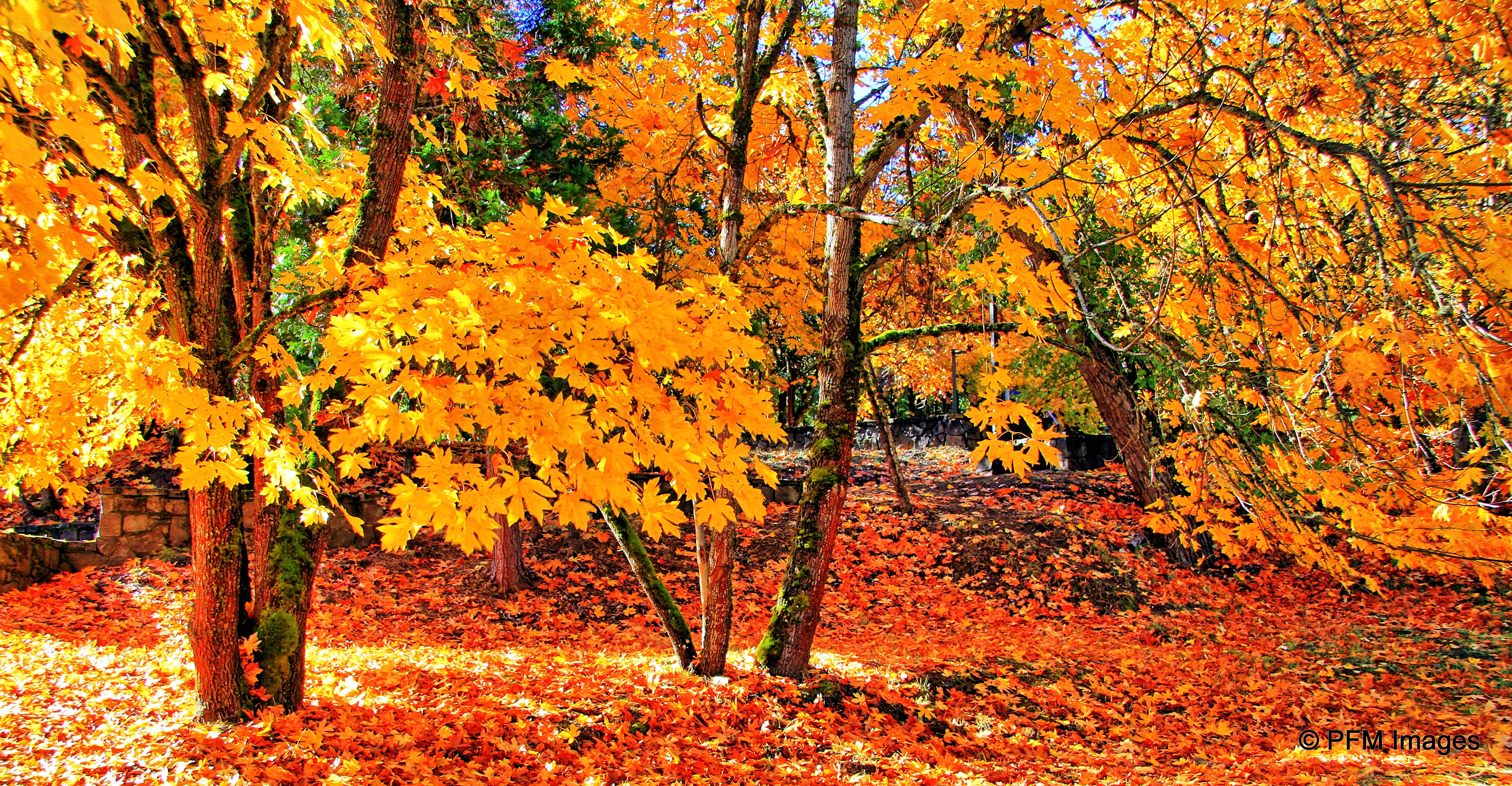
Fall Foliage Jacksonville Oregon

-
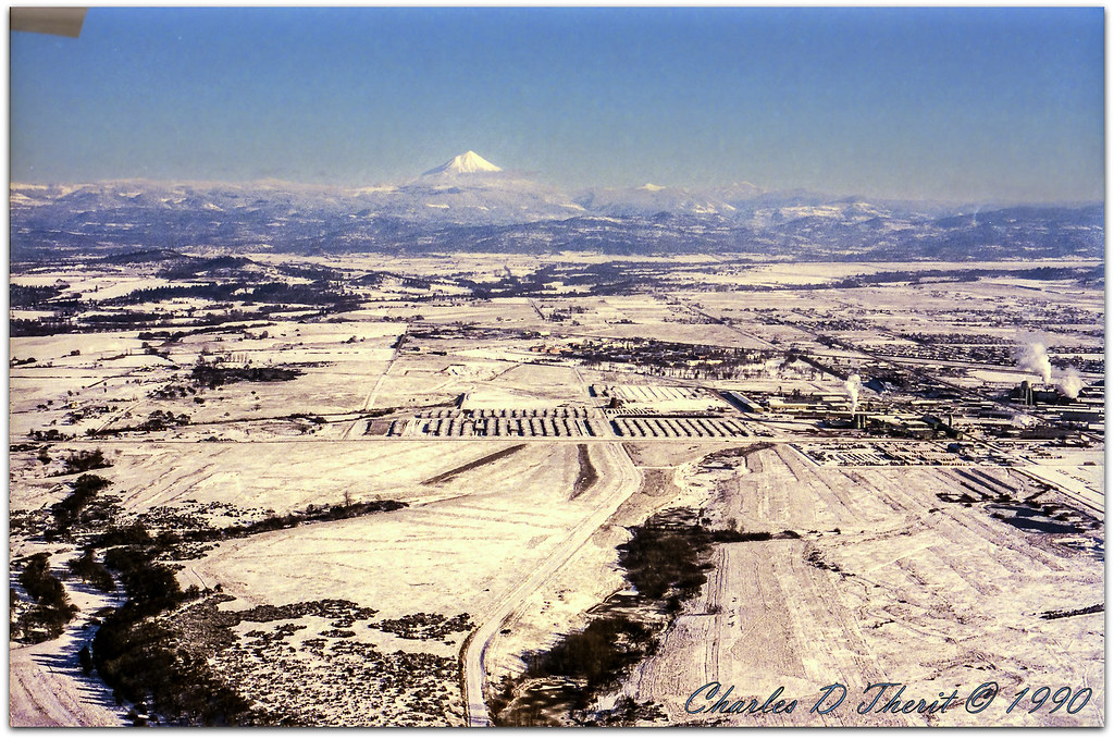
Mount McLoughlin

Rogue Valley Sunset
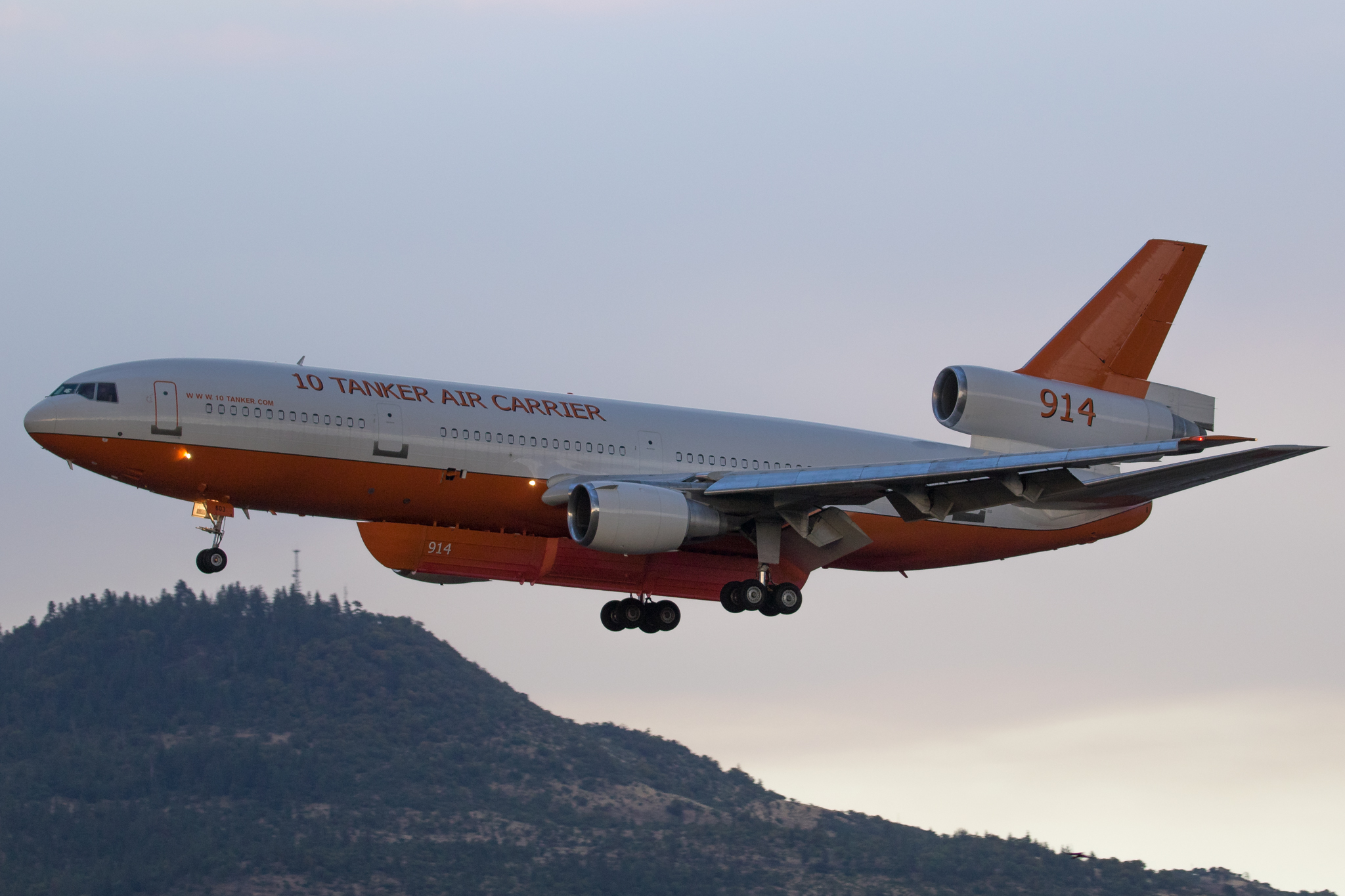
N603AX 10 Tanker Air Carrier DC-10 Tanker 914

N374AC AeroFlite Avro RJ85 Tanker 164
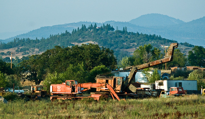
Logging Equipment 4
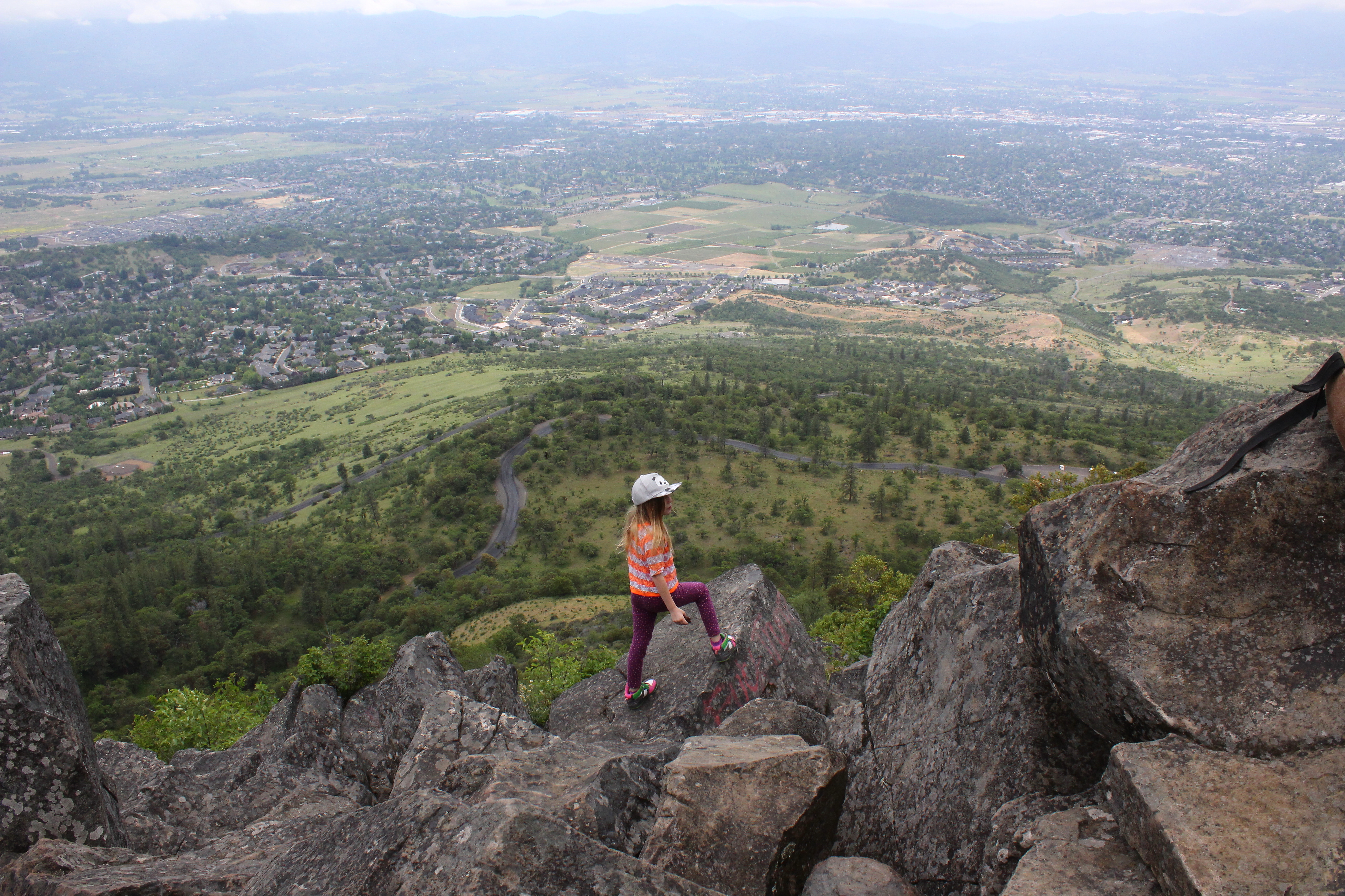
Coral Rae explores the summit

-
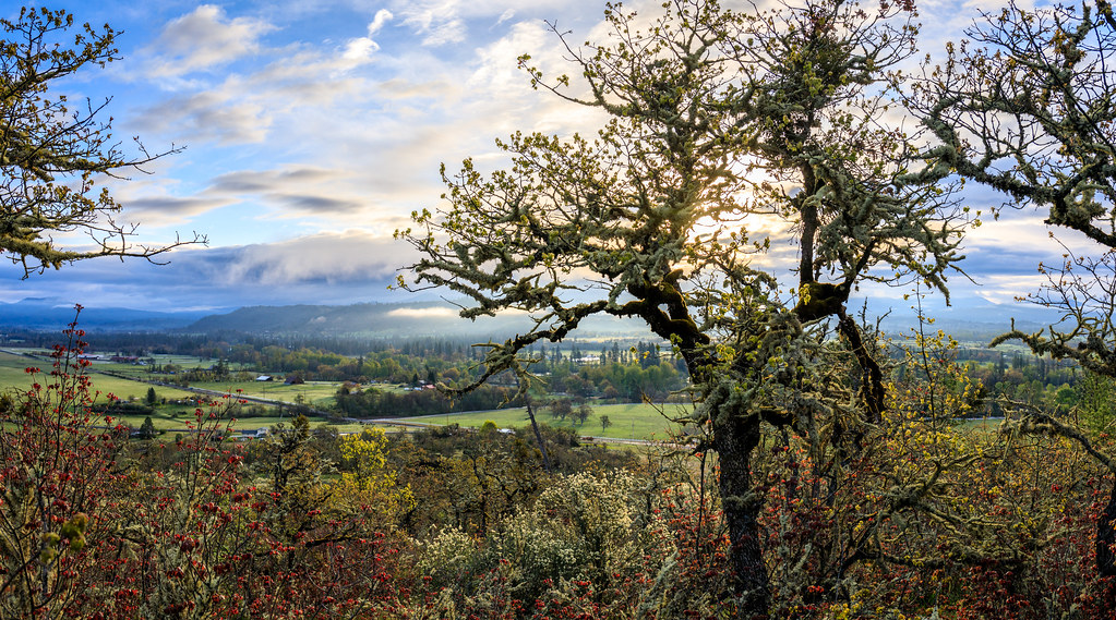
Rogue Valley Oregon

Siskiyou Sunset
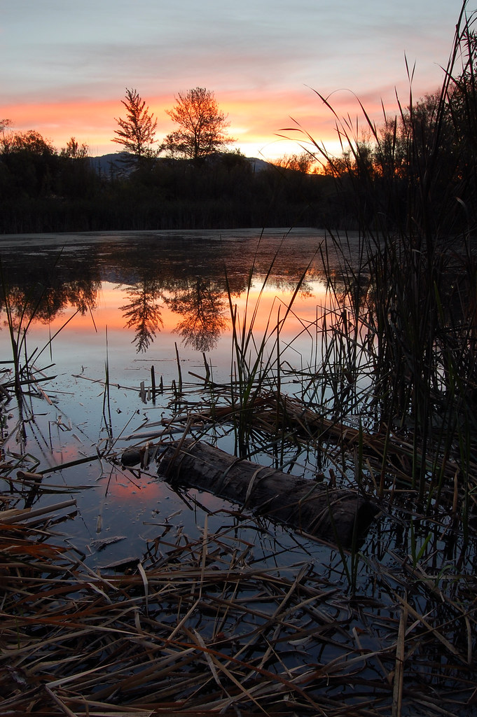
Bear Creek Pond
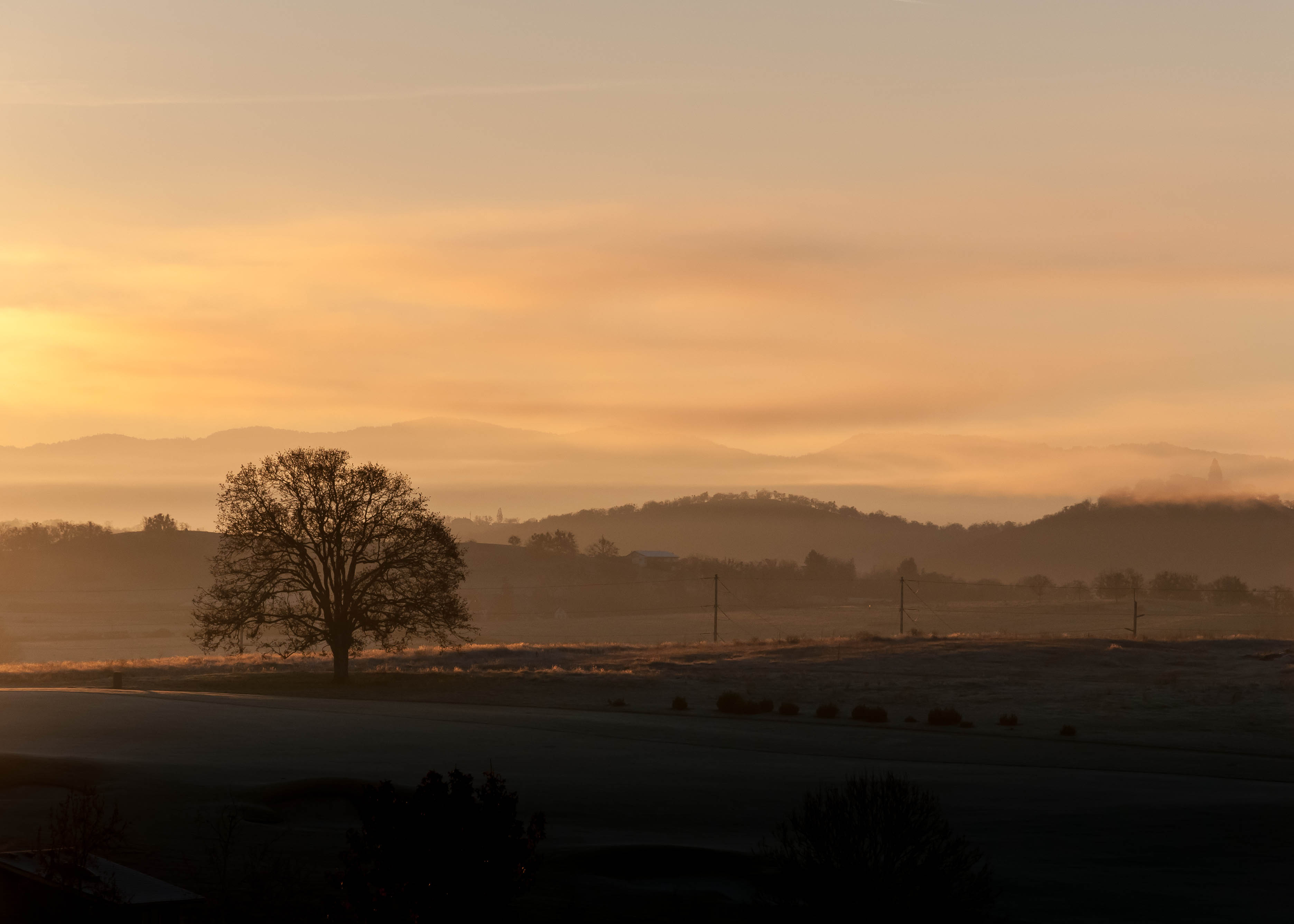
Frosty Morning Sunrise
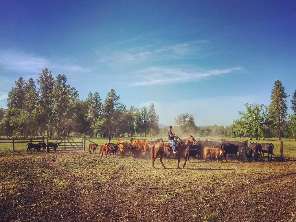
Roundup: JB Dimick readies cows and calves for new pasture. Eagle Point, Oregon 5:14 p.m. 5/11/16
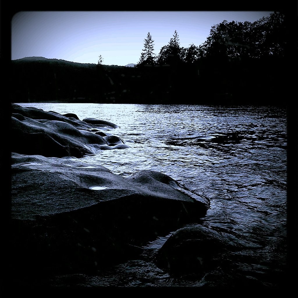
around sunset, last night. Rogue River.

Summer 2014
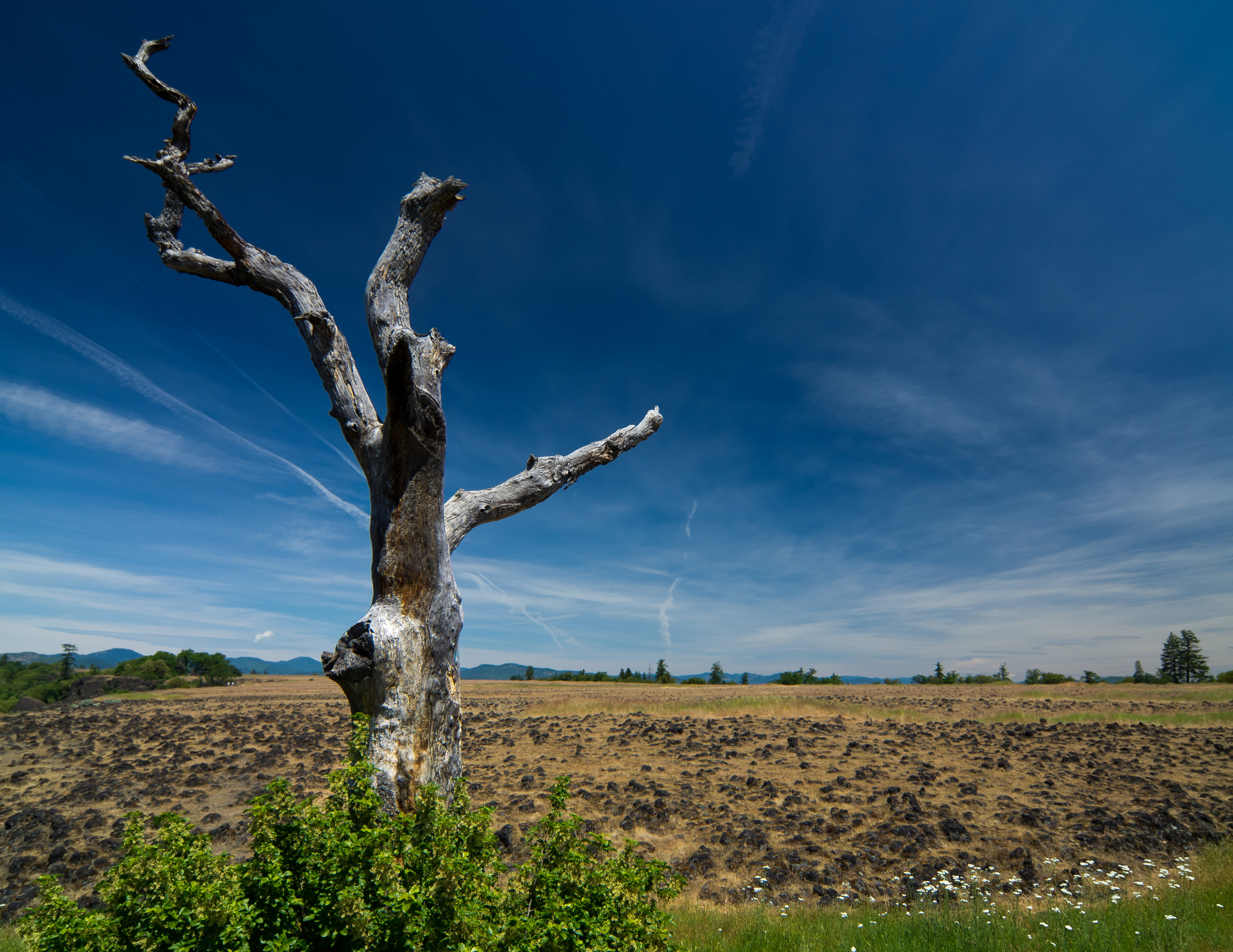
sentinel of wide open spaces

Siskiyou Mountains

path though trees
Topographic Map of Juanita Ave, Medford, OR, USA
Find elevation by address:

Places near Juanita Ave, Medford, OR, USA:
East Mcandrews Road
1558 Valley View Dr
2971 Spring Hills Dr
2450 Pinebrook Cir
Sunrise Avenue
2119 Capital Ave
1935 Canyon Ave
230 Saginaw Dr
117 Kensington Square
2648 Wilkshire Dr
2307 Asher Dr
2125 Hillcrest Rd
117 Sunrise Ave
1913 Hillcrest Rd
2961 Chancery Cir
2810 Kerrisdale Ridge Dr
1500 Yucca St
2748 Stonebrook Dr
1626 Woodlawn Dr
472 Picadilly Cir
Recent Searches:
- Elevation of East W.T. Harris Boulevard, E W.T. Harris Blvd, Charlotte, NC, USA
- Elevation of West Sugar Creek, Charlotte, NC, USA
- Elevation of Wayland, NY, USA
- Elevation of Steadfast Ct, Daphne, AL, USA
- Elevation of Lagasgasan, X+CQH, Tiaong, Quezon, Philippines
- Elevation of Rojo Ct, Atascadero, CA, USA
- Elevation of Flagstaff Drive, Flagstaff Dr, North Carolina, USA
- Elevation of Avery Ln, Lakeland, FL, USA
- Elevation of Woolwine, VA, USA
- Elevation of Lumagwas Diversified Farmers Multi-Purpose Cooperative, Lumagwas, Adtuyon, RV32+MH7, Pangantucan, Bukidnon, Philippines