Elevation of Juan Tomas Road, Juan Tomas Rd, Tijeras, NM, USA
Location: United States > New Mexico > Bernalillo County > Tijeras >
Longitude: -106.30284
Latitude: 35.0284348
Elevation: 2202m / 7224feet
Barometric Pressure: 78KPa
Elevation Map:
Satellite Map:
Related Photos:

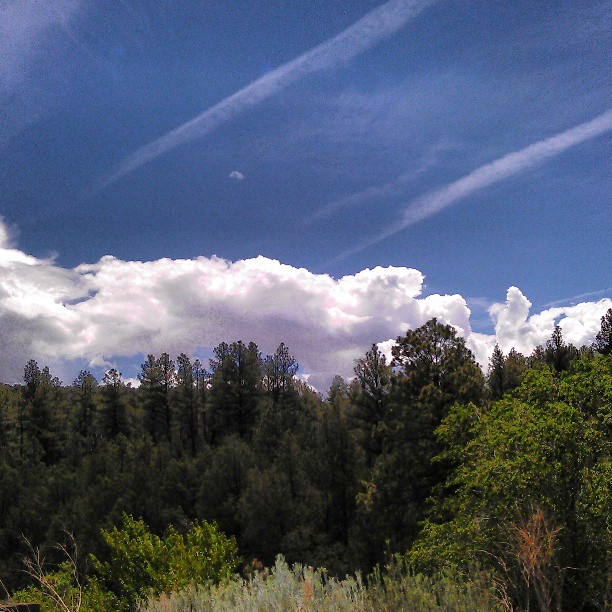
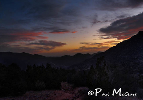
Tree and clouds
looking west
Looking toward i-40 and Three Gun Springs Trail
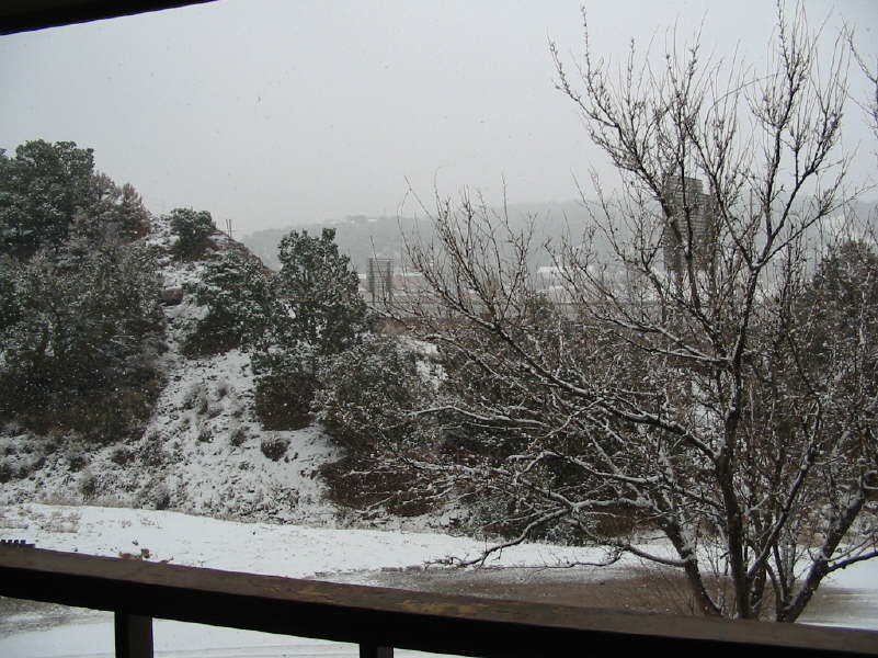
the view from my backyard...
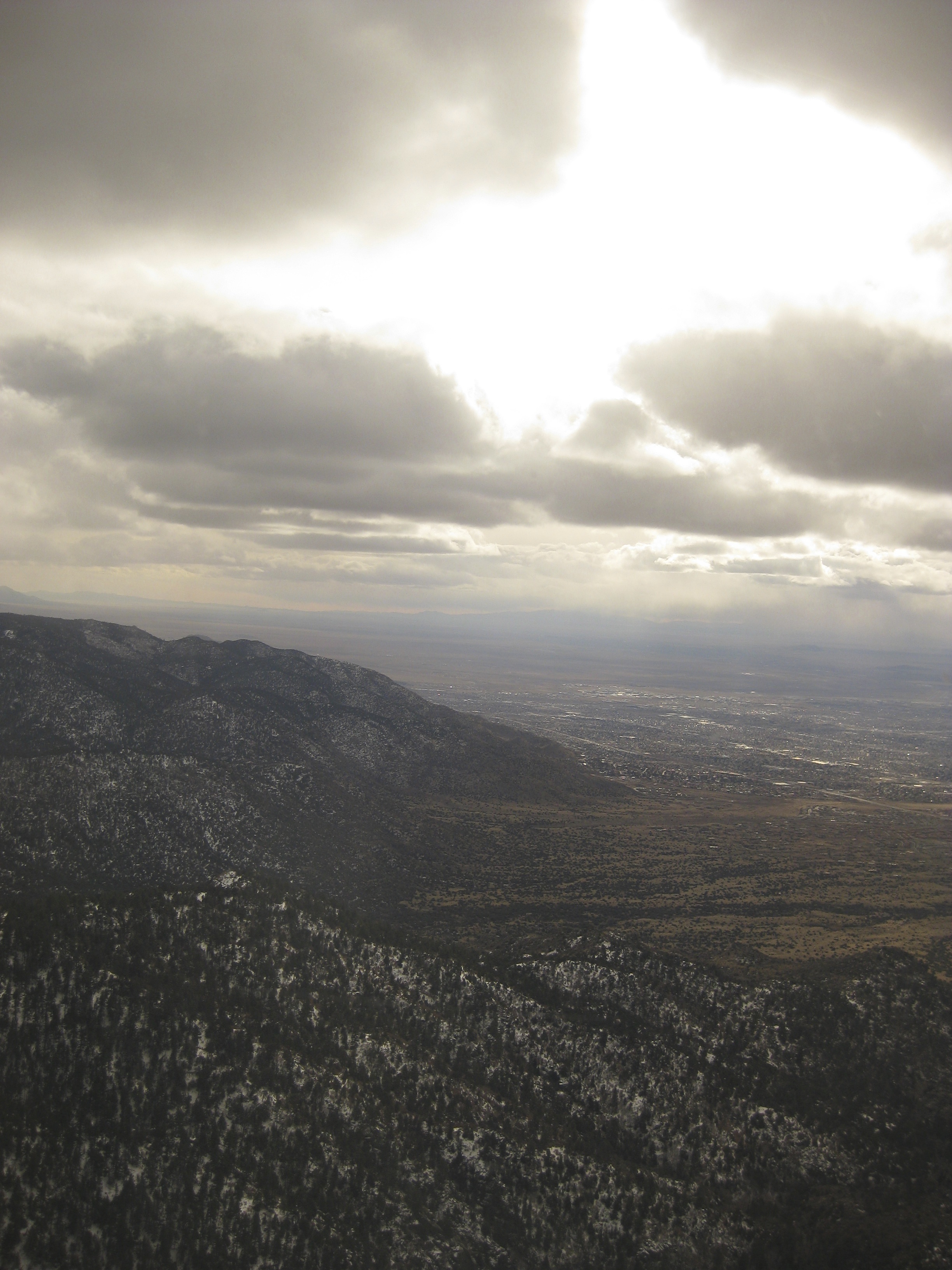
Looking back to ABQ, distant Mt. Taylor
Neat clouds

Looking back to ABQ, distant Mt. Taylor
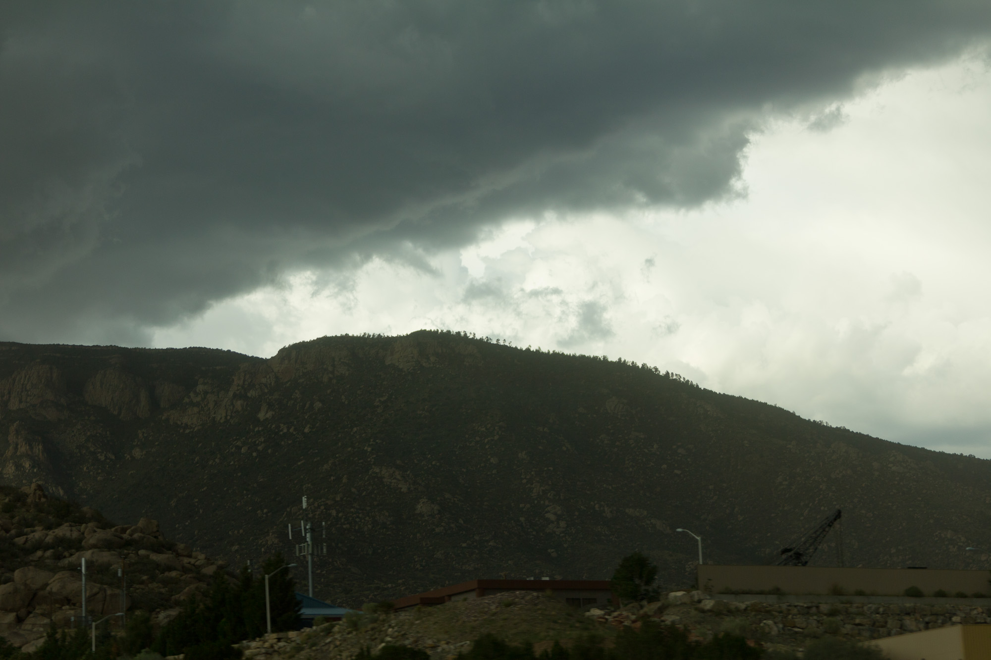
Summer Storms and Sunbeams-
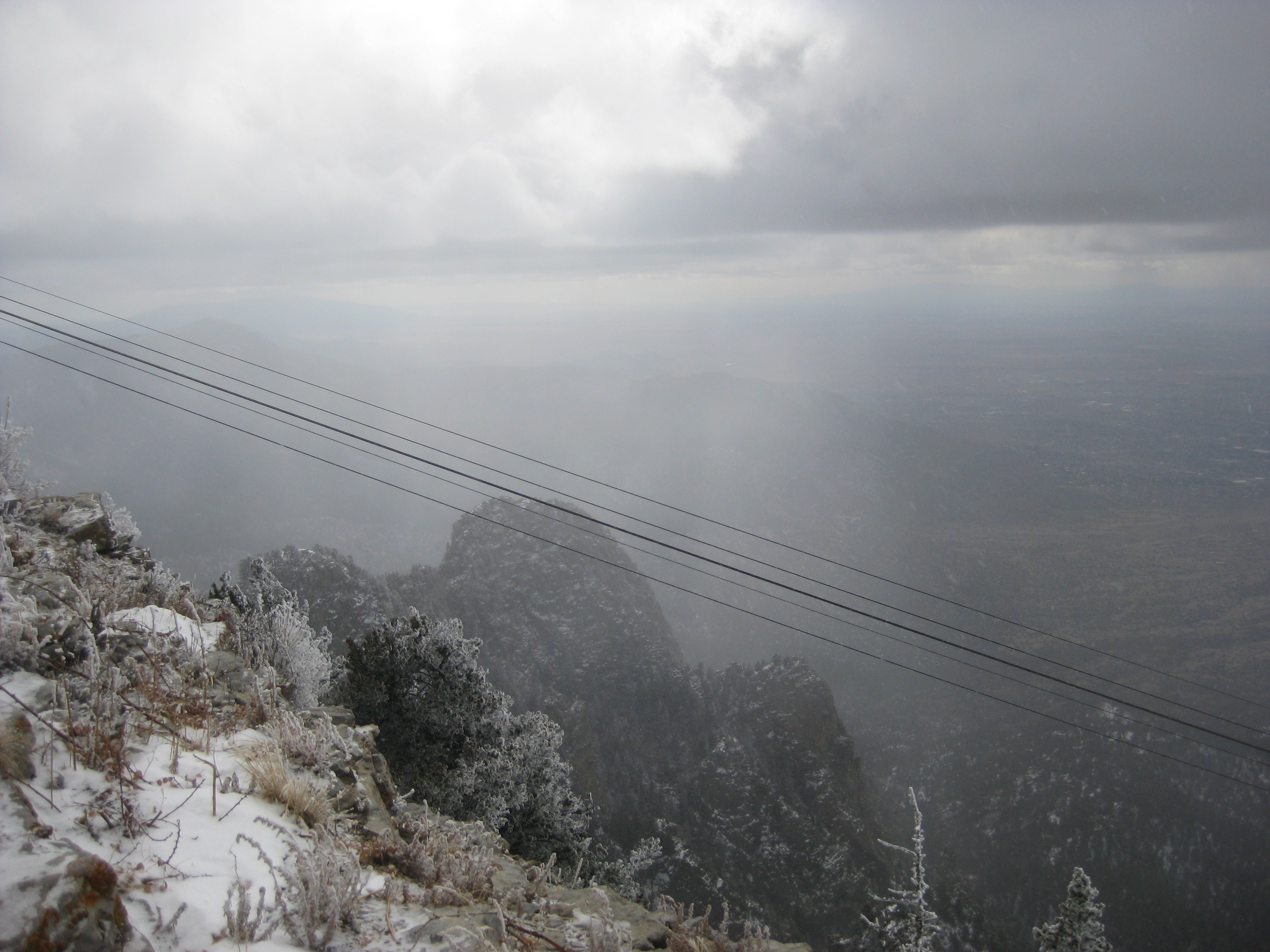
View from tram to Sandia Peak
12 09 28 My View From Here: Horseshoe Valley.
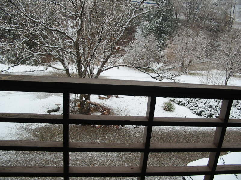
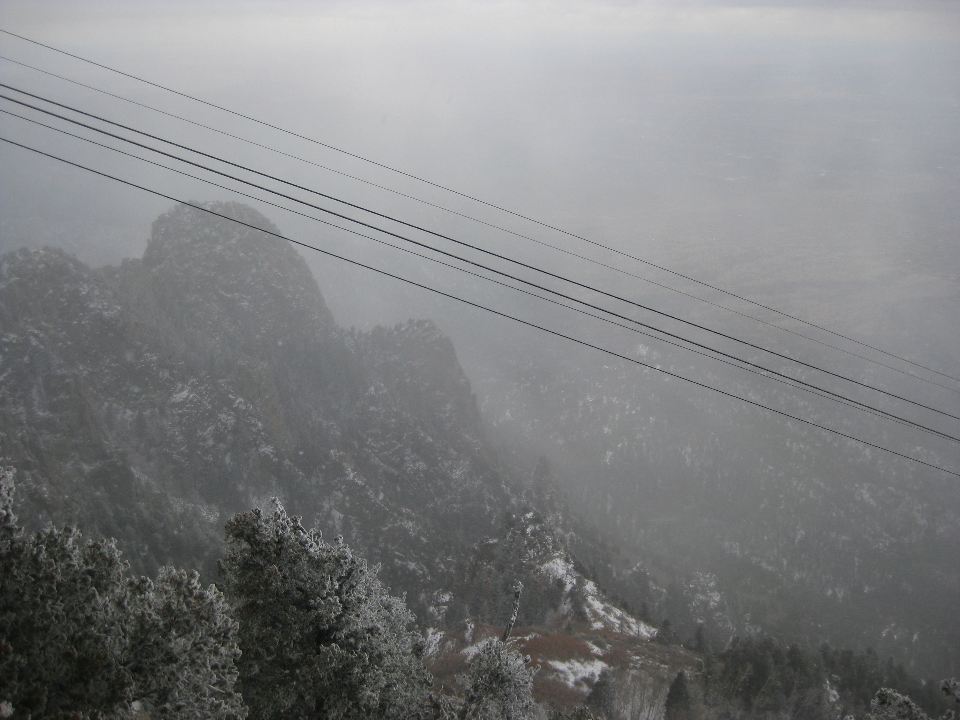
light snow
View from tram to Sandia Peak
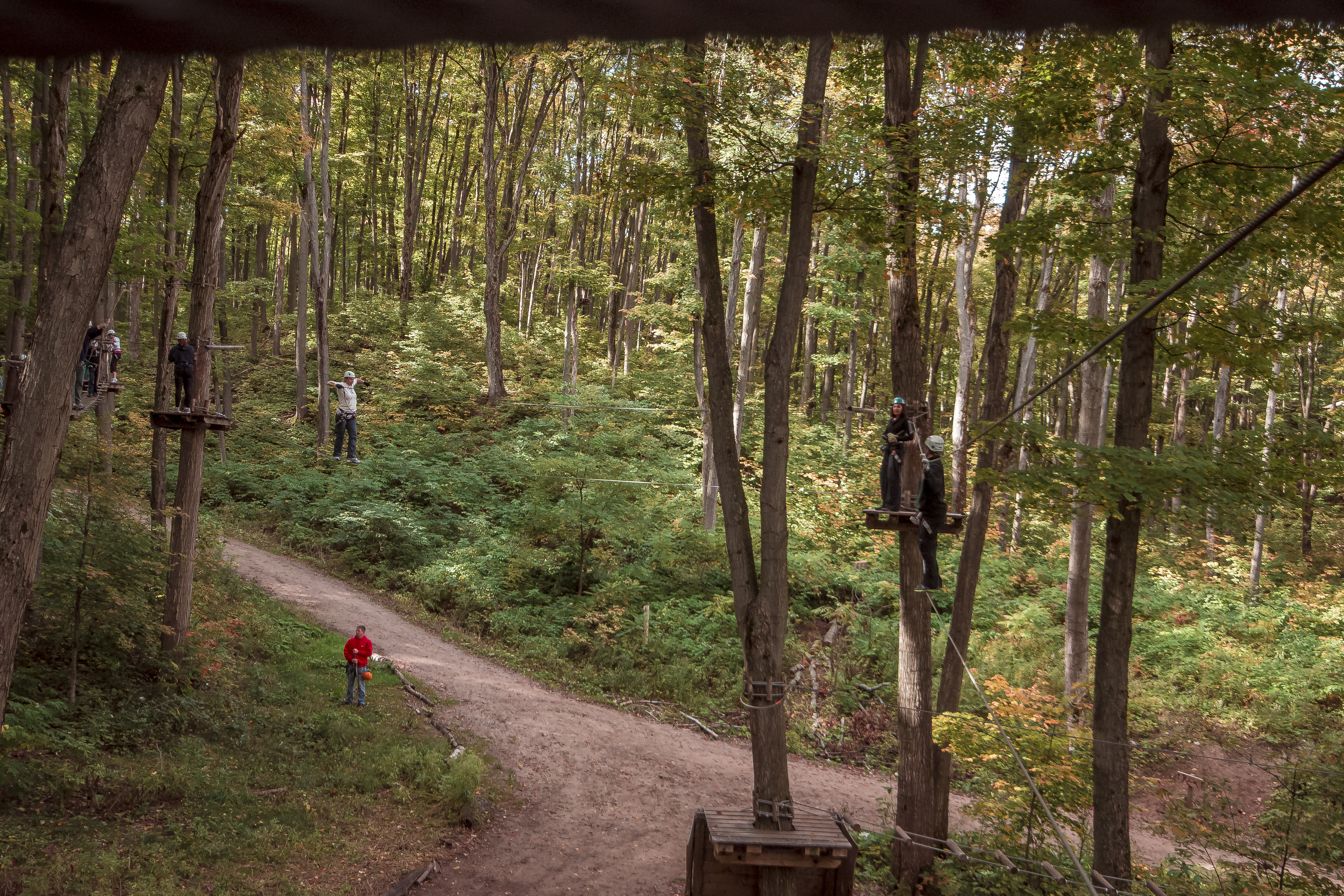
12 09 29 My View From Here: Treetoptrekking.

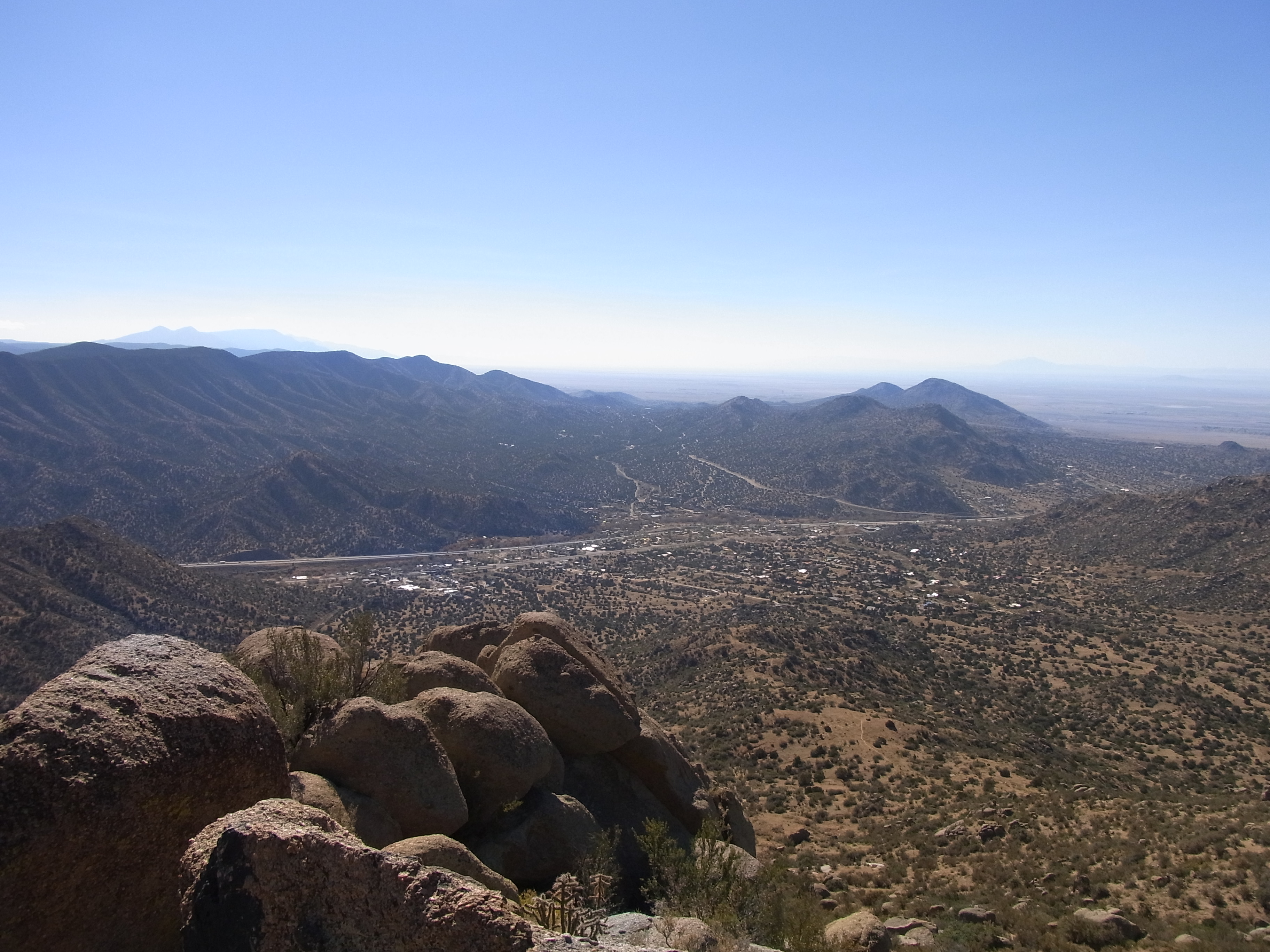
View from Sandia Peak at 10,678 feet
Route 66, East of Albuquerque, New Mexico 1975
View from Sandia Peak at 10,678 feet
winter blast
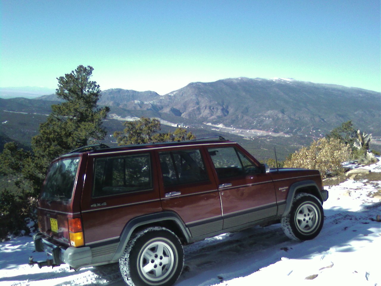
Jeep with a view
Here's the other side
View from Sandia Peak at 10,678 feet
Hawk's View

Well? Shall we go? Yes, let's go.
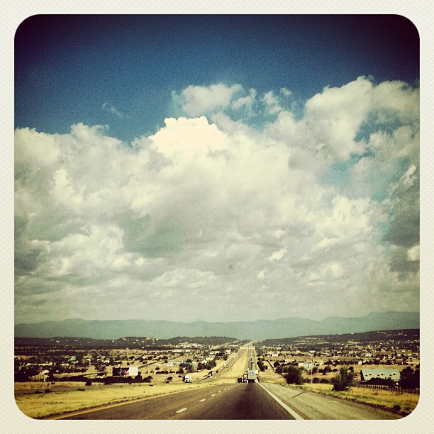
On the road to CA. #mountains #clouds #openroad

Sandia Park Sunrise

#sunrise in #edgewood #newmexico with the family - #roadtrip #morningwalk #earlybird
Beautiful day.

Sandia Sunrise
Took a hike today on the cedar crest trail #130. If only I had more time. My venture was worth the exploration. My future plans will be a full day of 32 miles. Spring time is near!
East Mountain Ridge
Blue Sky Draw
Rock Lobster
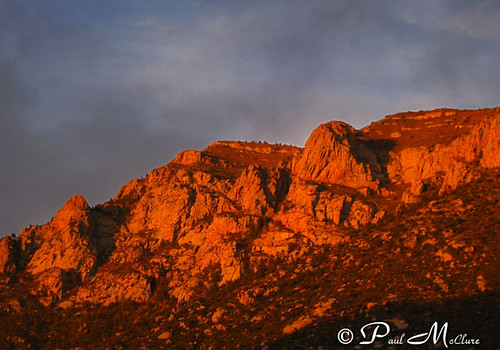
3 Gun Sunset
Watermelon Mt Sunset
IMG_8989.jpg

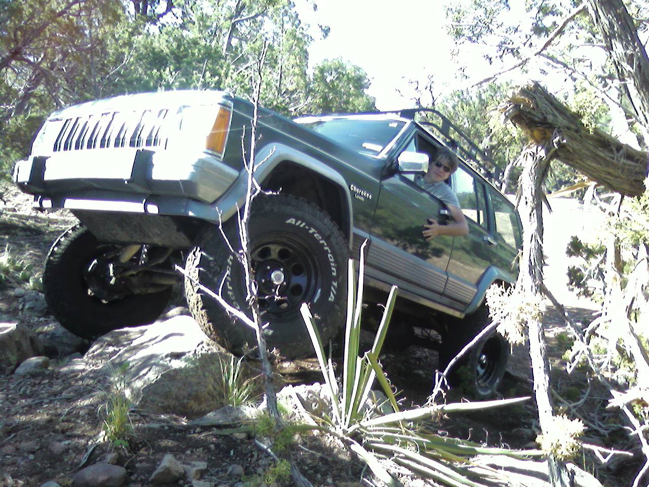
Truck_090711_LR-29.jpg

Erysimum capitatum
Topographic Map of Juan Tomas Road, Juan Tomas Rd, Tijeras, NM, USA
Find elevation by address:

Places near Juan Tomas Road, Juan Tomas Rd, Tijeras, NM, USA:
Juan Tomas Rd, Tijeras, NM, USA
24 Lower Juan Tomas Rd
Juan Tomas
12 Spring Song Ln
62 Mcginnis Rd
3 Heather Heights Ln
Ramblewoods
41 Carlisle Rd
38 Easy St
54 Crestwood Loop Dr
Crestwood Manor
4 Rampart Rd
2 Fisher Rd
Sandia Mountain Ranch
Tranquillo Pines
63 Longview Dr
7 Sandia Mountain Ranch Dr
Twin Pines
25 Western Trail Dr
Vista Valle
Recent Searches:
- Elevation of Leguwa, Nepal
- Elevation of County Rd, Enterprise, AL, USA
- Elevation of Kolchuginsky District, Vladimir Oblast, Russia
- Elevation of Shustino, Vladimir Oblast, Russia
- Elevation of Lampiasi St, Sarasota, FL, USA
- Elevation of Elwyn Dr, Roanoke Rapids, NC, USA
- Elevation of Congressional Dr, Stevensville, MD, USA
- Elevation of Bellview Rd, McLean, VA, USA
- Elevation of Stage Island Rd, Chatham, MA, USA
- Elevation of Shibuya Scramble Crossing, 21 Udagawacho, Shibuya City, Tokyo -, Japan