Elevation of Jordan Trails Road, Jordan Trails Rd, Washington, USA
Location: United States > Washington > Snohomish County > Arlington >
Longitude: -122.05272
Latitude: 48.1435771
Elevation: 129m / 423feet
Barometric Pressure: 100KPa
Elevation Map:
Satellite Map:
Related Photos:

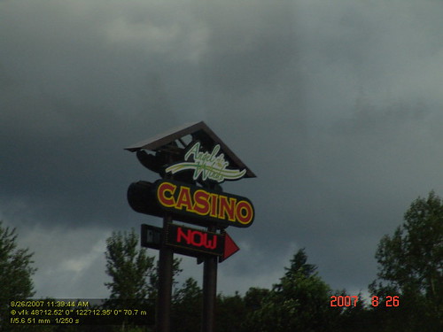
Pilchuck's Alpenglow
Granite in Gray

Pilchuck from Green Mountain
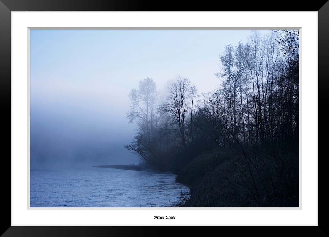
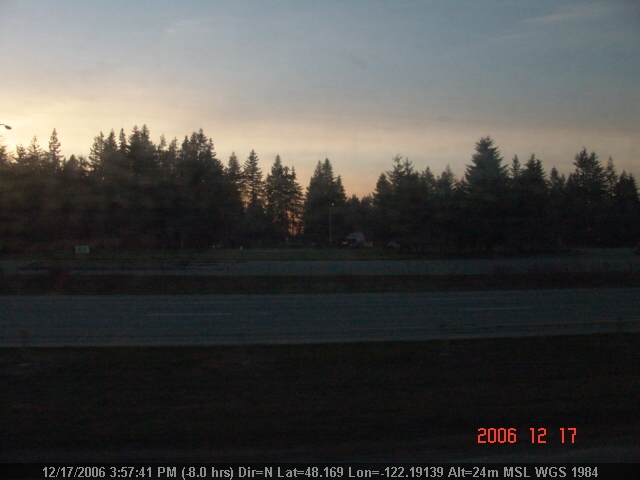
Misty Stilly

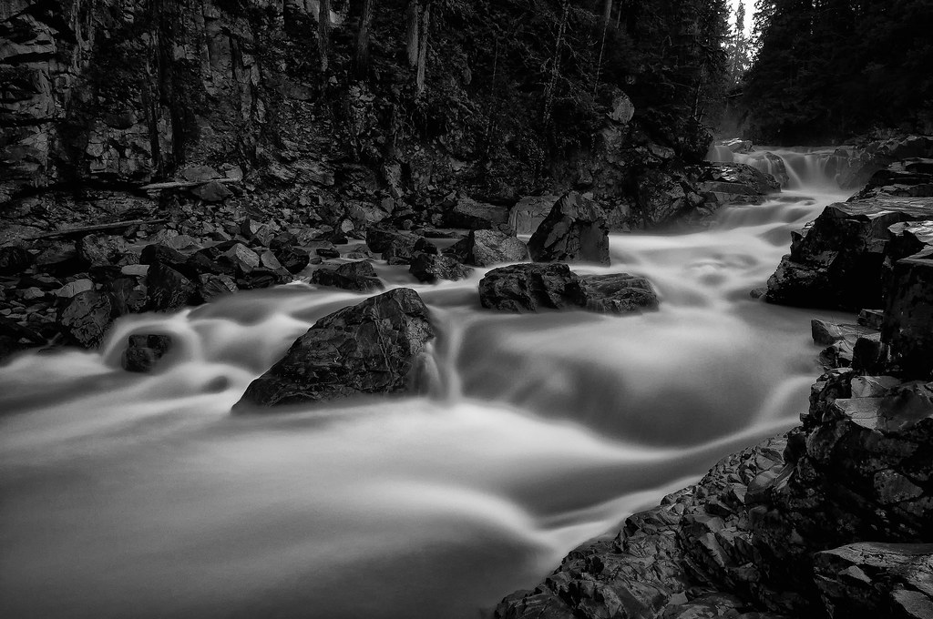
The river wild

Dog's Eye View.
LV1293DSC00676.JPG
Lake Cassidy WA
DSC06167.JPG
LV1312DSC00695.JPG
LV1281DSC00664.JPG

Sunset through the trees
LV1282DSC00665.JPG
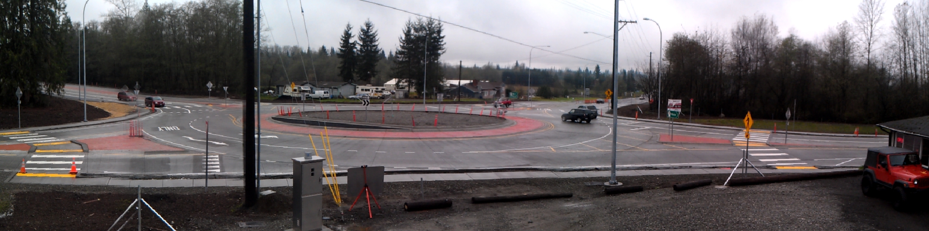
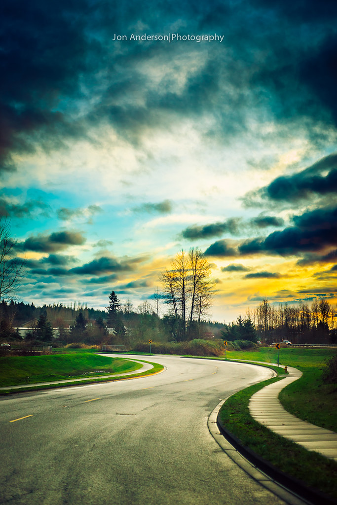
Panoramic view of new SR 9 roundabout in Arlington

Morning Time
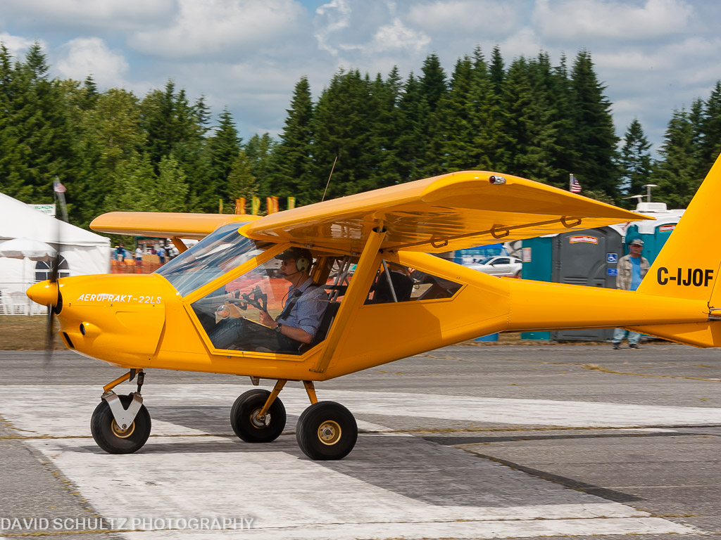
2011 KGA Foxbat A22 C-IJOF
LV1278DSC00661.JPG
DSC06272.JPG
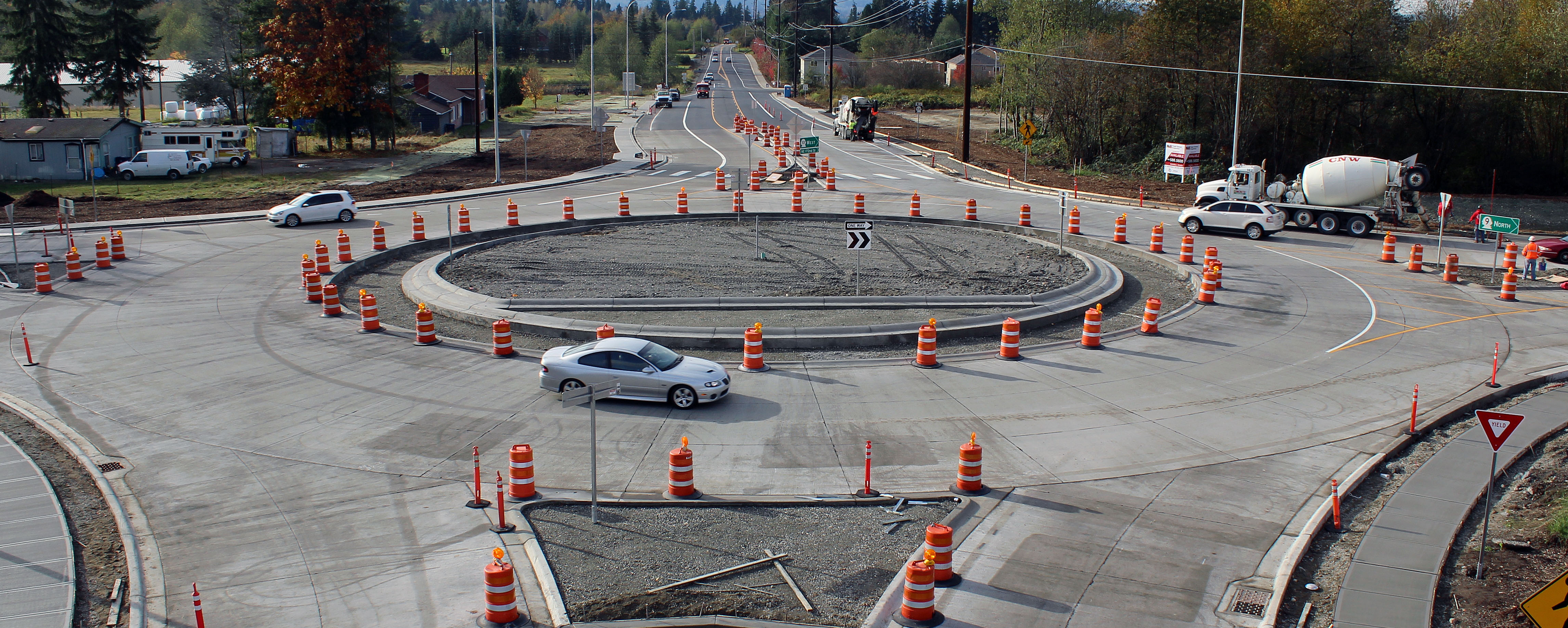
New SR 9 roundabout in Arlington

The view from below
LV1290DSC00673.JPG

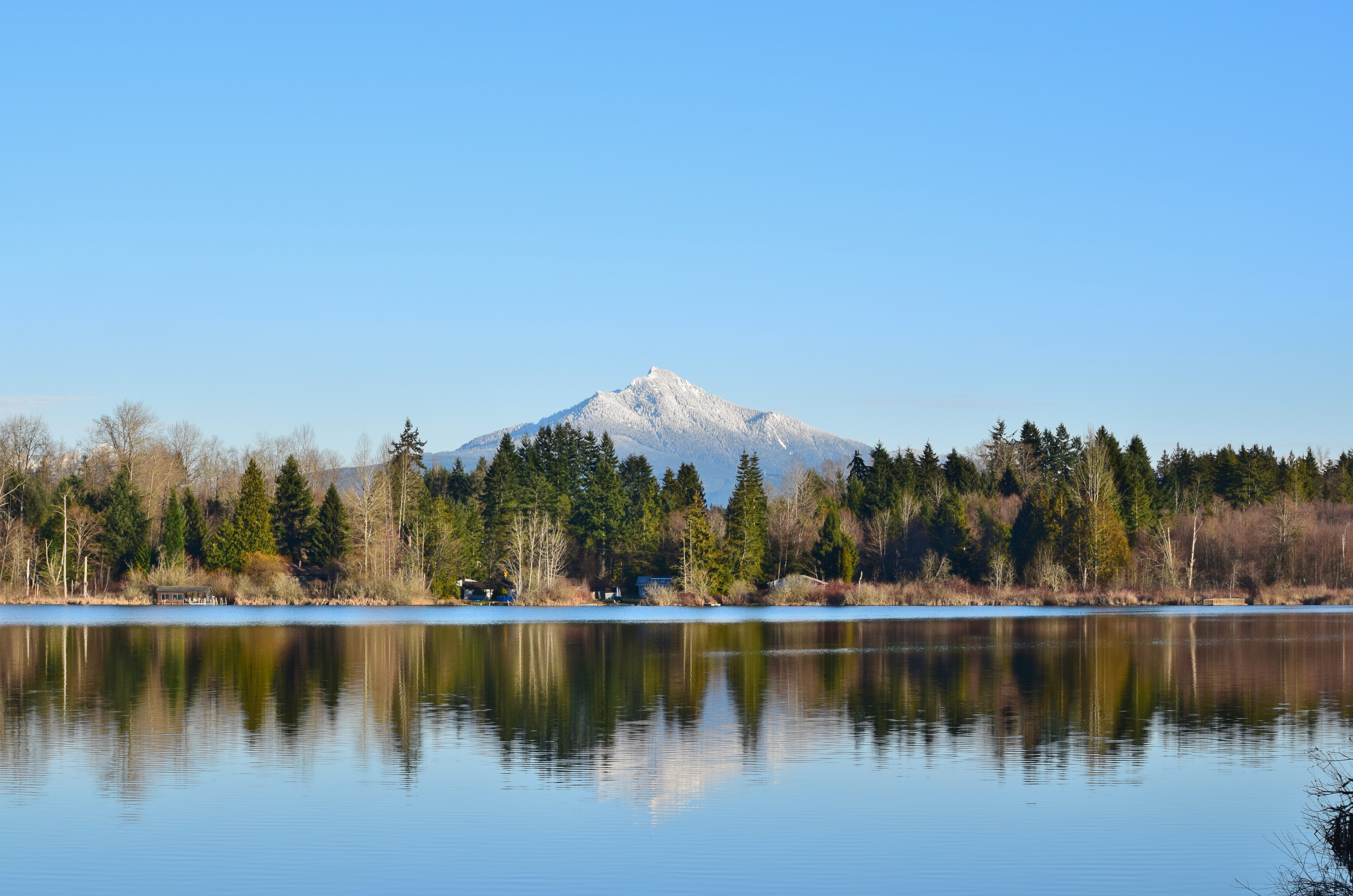
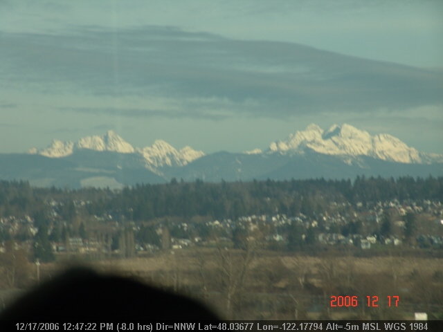
Good Morning, Mountain

the entrance...
Union Sough, Everett
Big ol caves.

Arlington field in the morning
Nature's Foggy Mirror
Frozen Fog
Watercolor photo

Tulips Sunrise

Angry cloud
misty walk
There's a storm a brewin'

Granite Falls

Sunset over Lake Cassidy
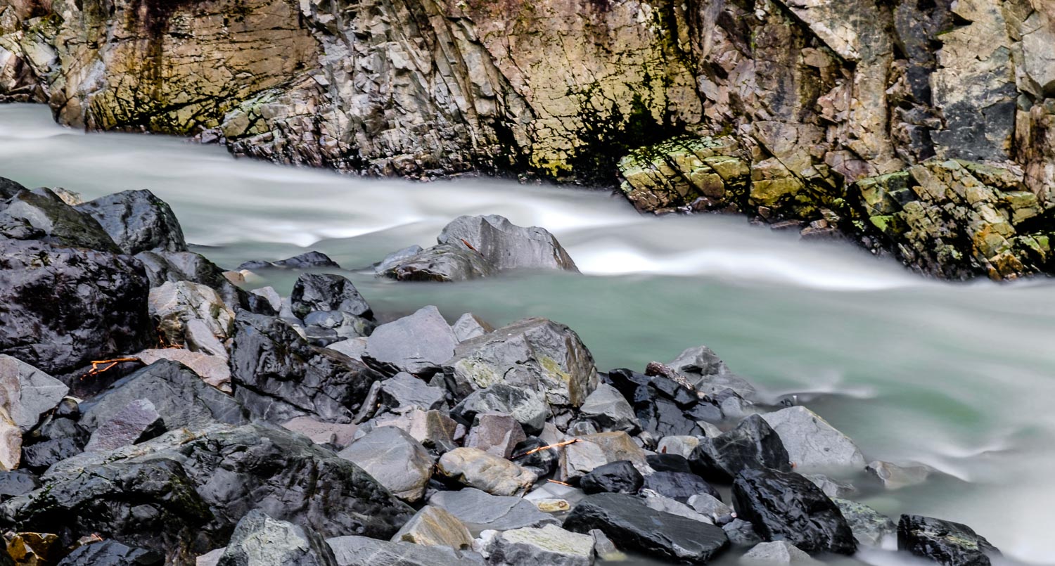
Stillaguamish River
Quilceda Creek at high tide
Place B - 5
Traveling Toward the Sun
Topographic Map of Jordan Trails Road, Jordan Trails Rd, Washington, USA
Find elevation by address:

Places near Jordan Trails Road, Jordan Trails Rd, Washington, USA:
11105 135th Ave Ne
13605 Jordan Trails Rd
13708 Jordan Trails Rd
13705 Jordan Trails Rd
13725 Jordan Trails Rd
13735 Jordan Trails Rd
13735 Jordan Trails Rd
13805 Jordan Trails Rd
13805 Jordan Trails Rd
13805 Jordan Trails Rd
13805 Jordan Trails Rd
13805 Jordan Trails Rd
13729 Jordan Trails Rd
Spruce Lane
13905 Jordan Trails Rd
16306 122nd Ave Ne
16127 Jordan Way
14116 Club Way
14311 Burn Rd
16904 114th Drive Northeast
Recent Searches:
- Elevation of Congressional Dr, Stevensville, MD, USA
- Elevation of Bellview Rd, McLean, VA, USA
- Elevation of Stage Island Rd, Chatham, MA, USA
- Elevation of Shibuya Scramble Crossing, 21 Udagawacho, Shibuya City, Tokyo -, Japan
- Elevation of Jadagoniai, Kaunas District Municipality, Lithuania
- Elevation of Pagonija rock, Kranto 7-oji g. 8"N, Kaunas, Lithuania
- Elevation of Co Rd 87, Jamestown, CO, USA
- Elevation of Tenjo, Cundinamarca, Colombia
- Elevation of Côte-des-Neiges, Montreal, QC H4A 3J6, Canada
- Elevation of Bobcat Dr, Helena, MT, USA