Elevation map of Jonkoping County, Sweden
Location: Sweden >
Longitude: 14.3439173
Latitude: 57.3708434
Elevation: 211m / 692feet
Barometric Pressure: 99KPa
Elevation Map:
Satellite Map:
Related Photos:
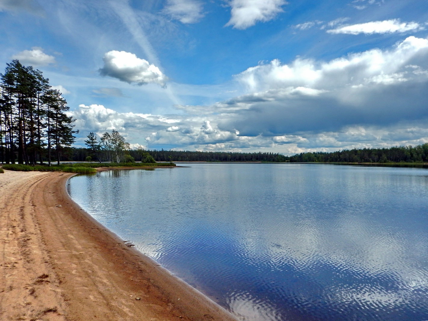
Rolstorpasjön strand again - east view 1
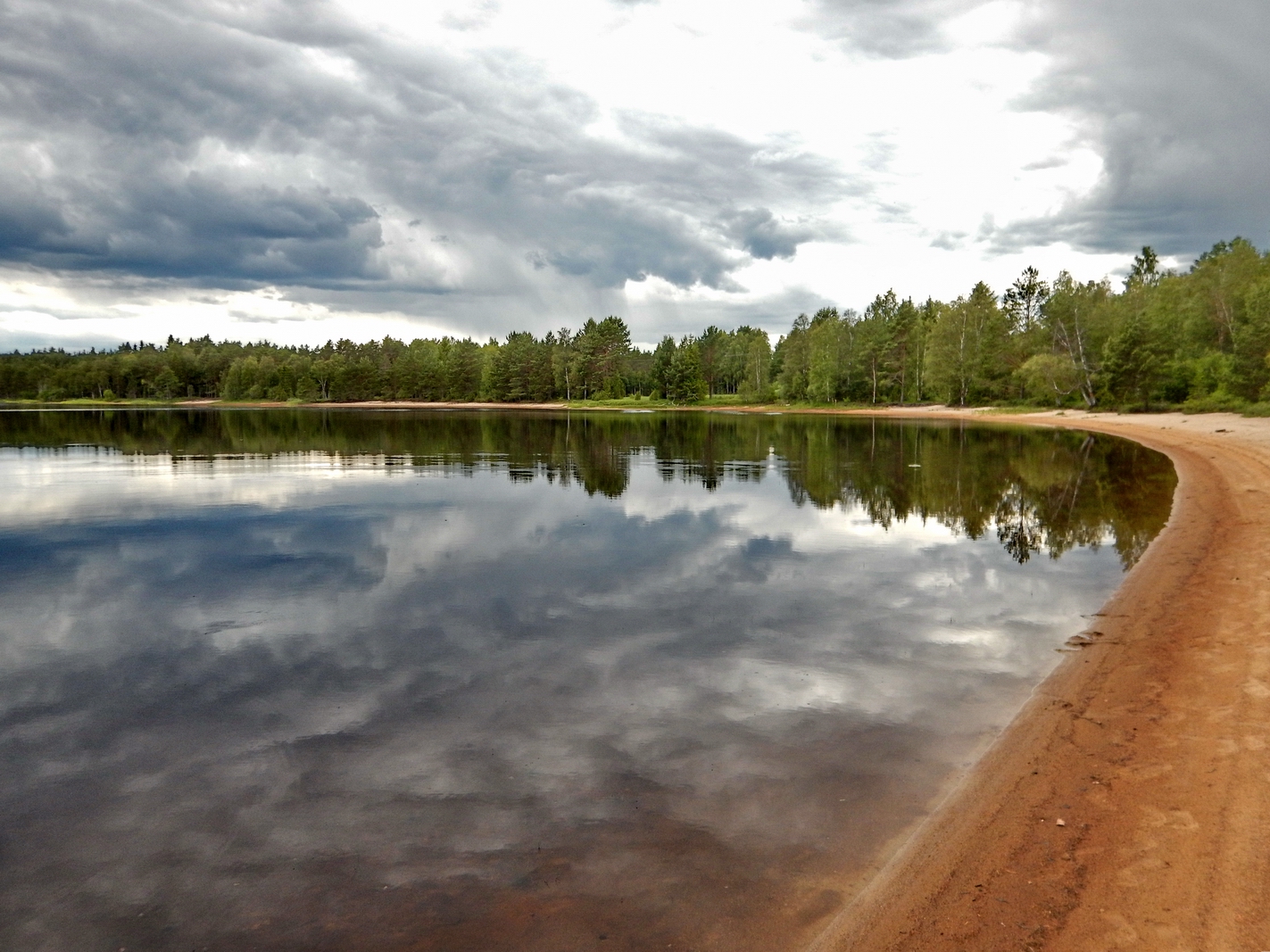
Rolstorpasjön strand - west view 2
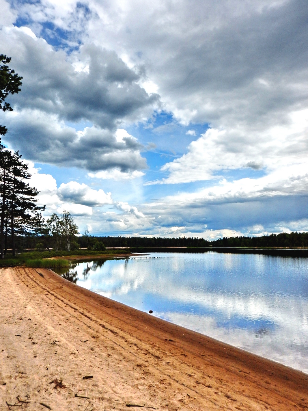
Rolstorpasjön strand - east view 2
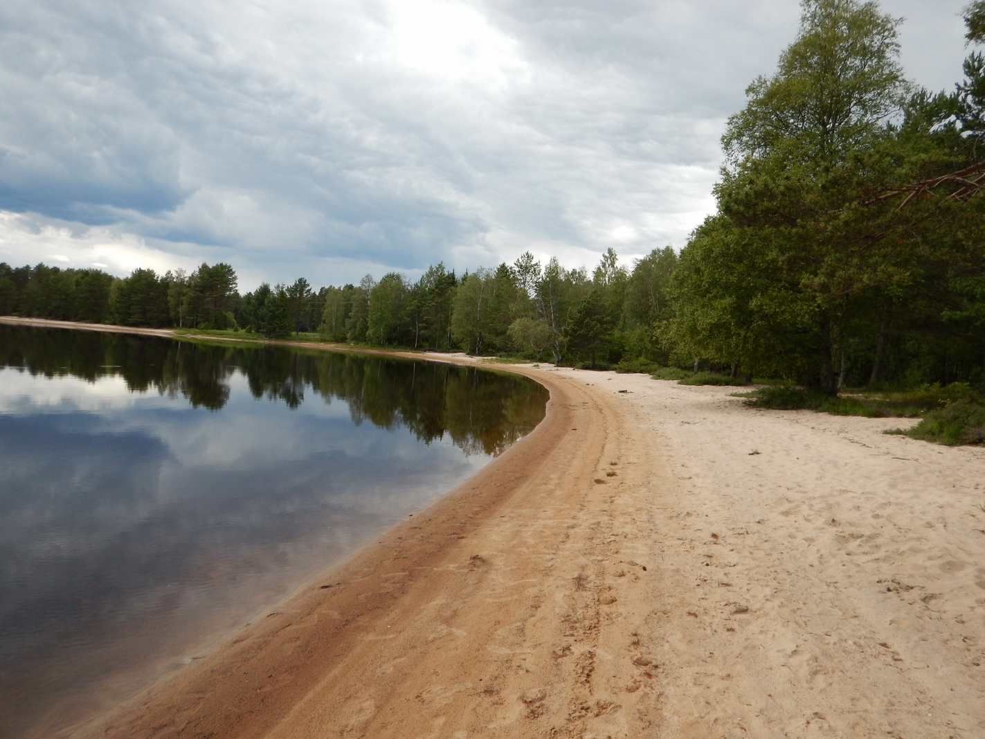
Rolstorpasjön strand - west view 1
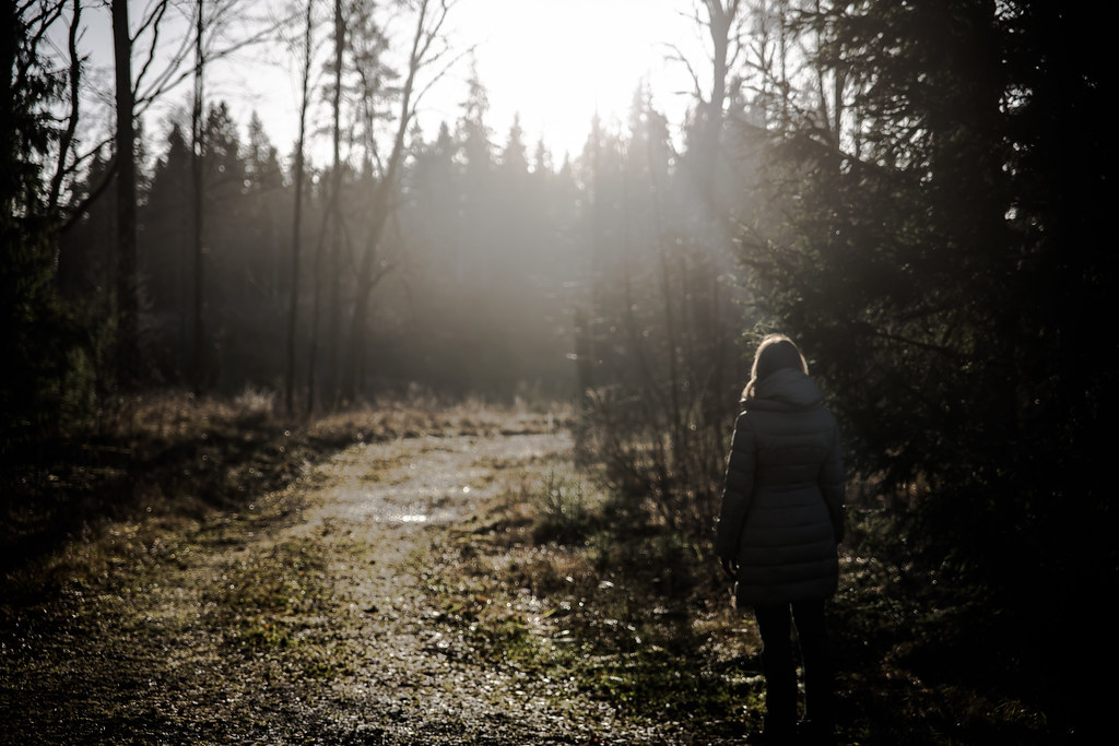
Window View
Sjöstorp och Spikbruket
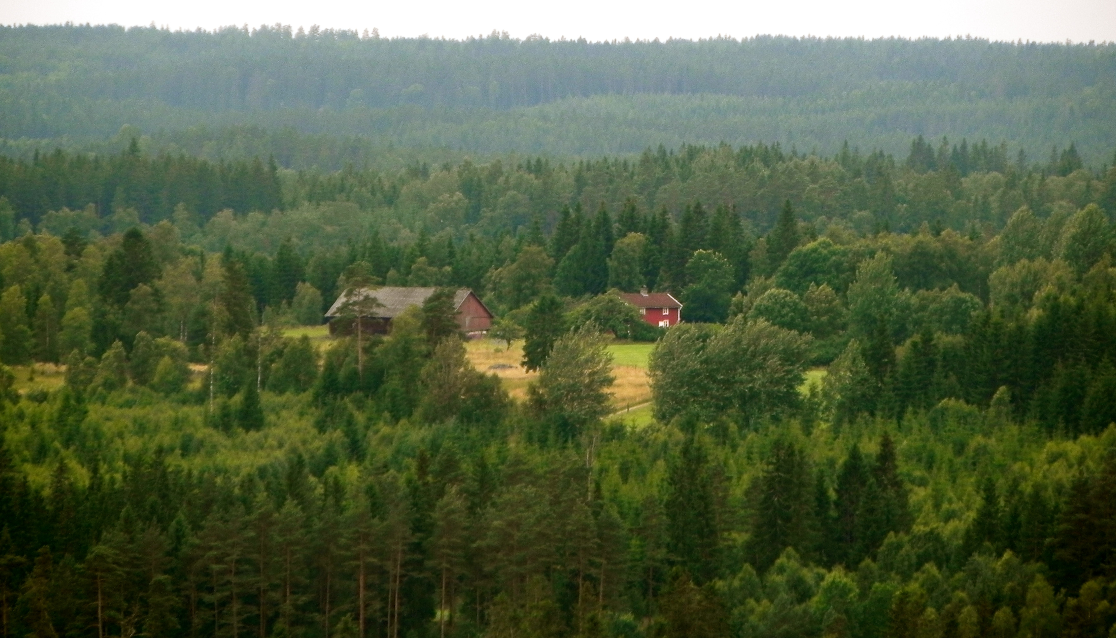
View from Alnaberget
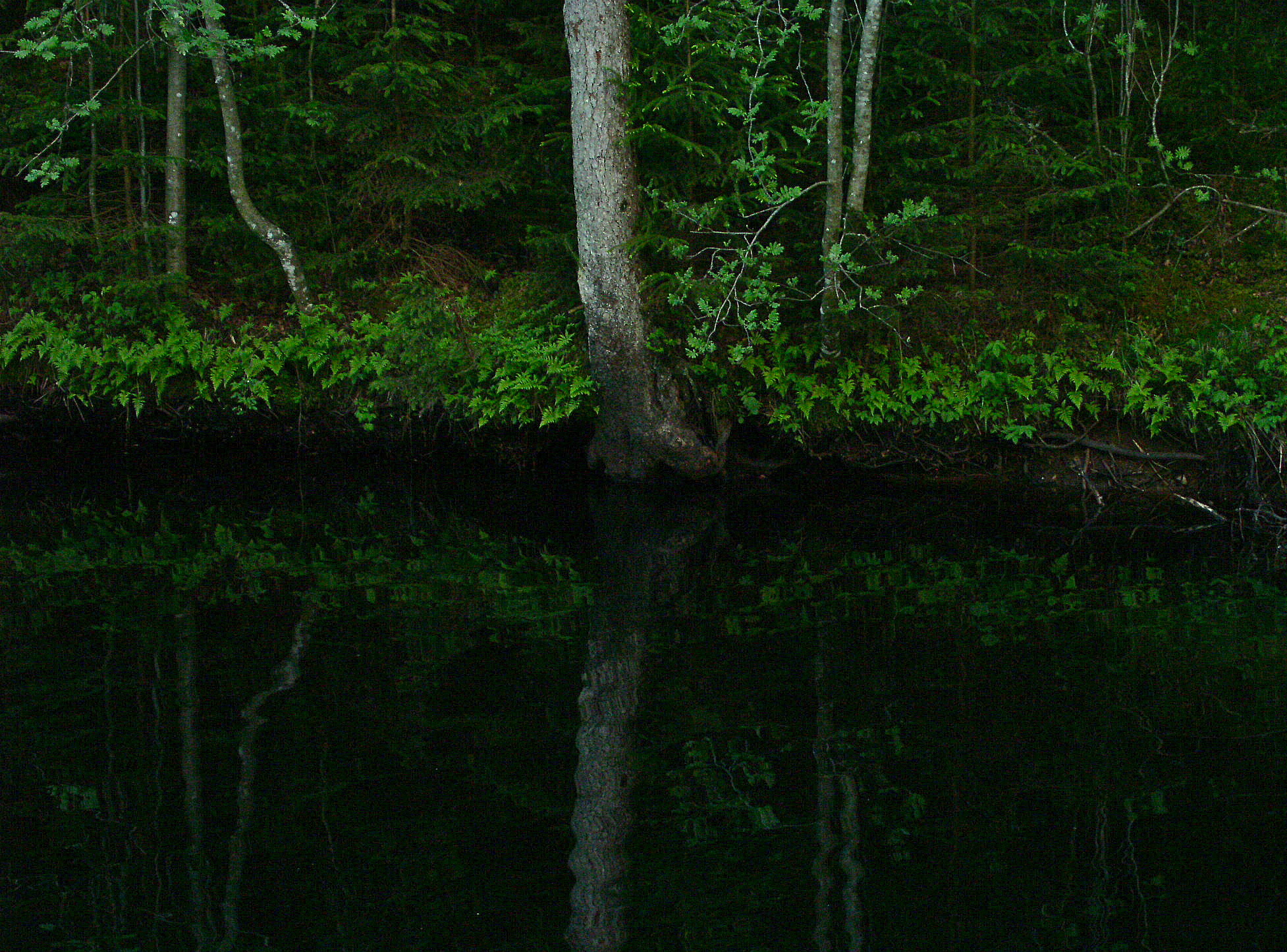
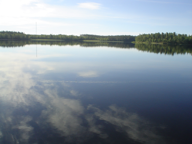
Rolstorpasjön strand near Vaggeryd
By Water
Remember the sun

Spot the last snow spot !!!

Autumn sun #Hipsta #iPhoto #sweden
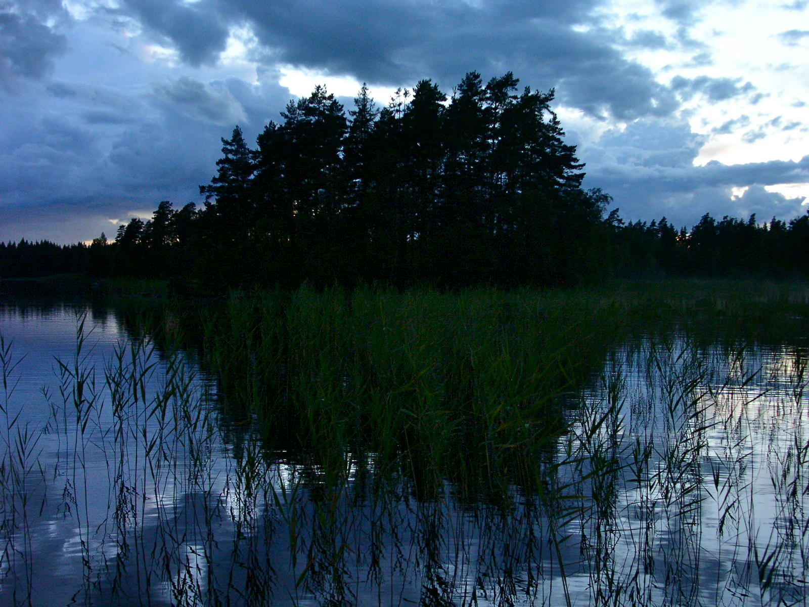
The Islet
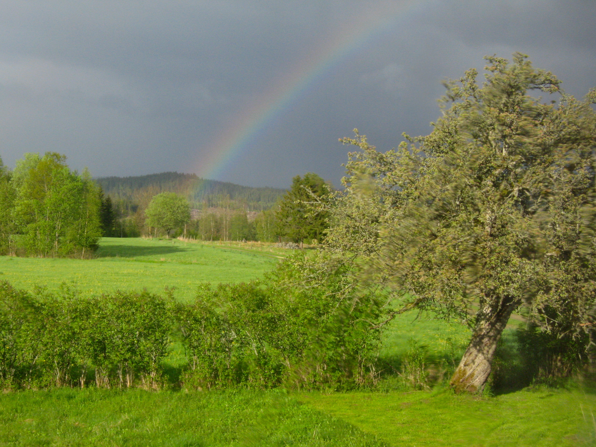
Sjöstorp Rainbow
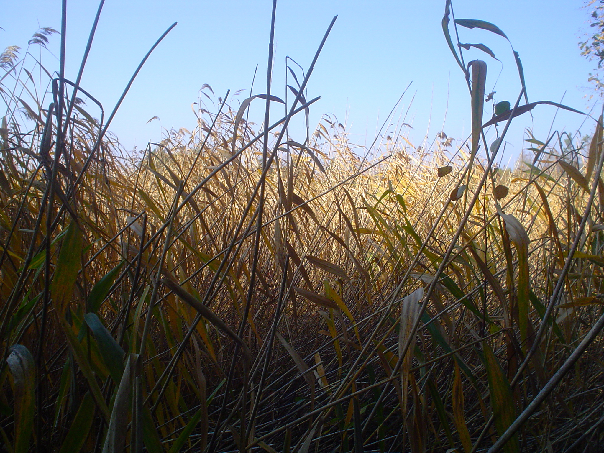
In Reed
Sjöstorp
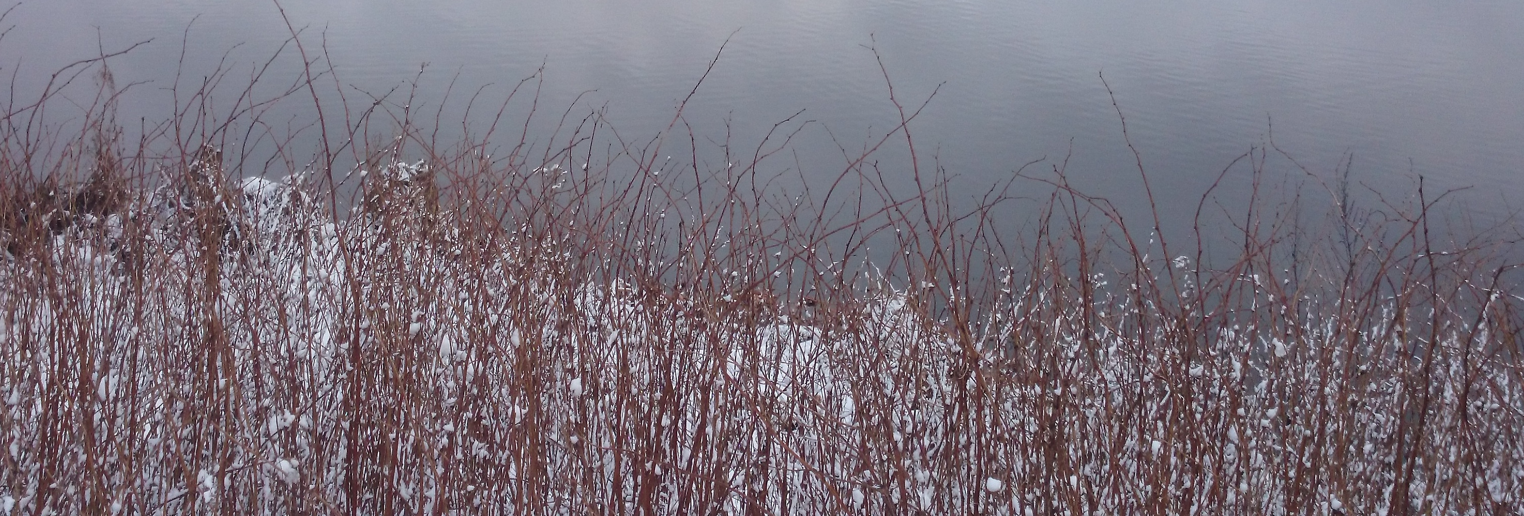
Winter Twigs
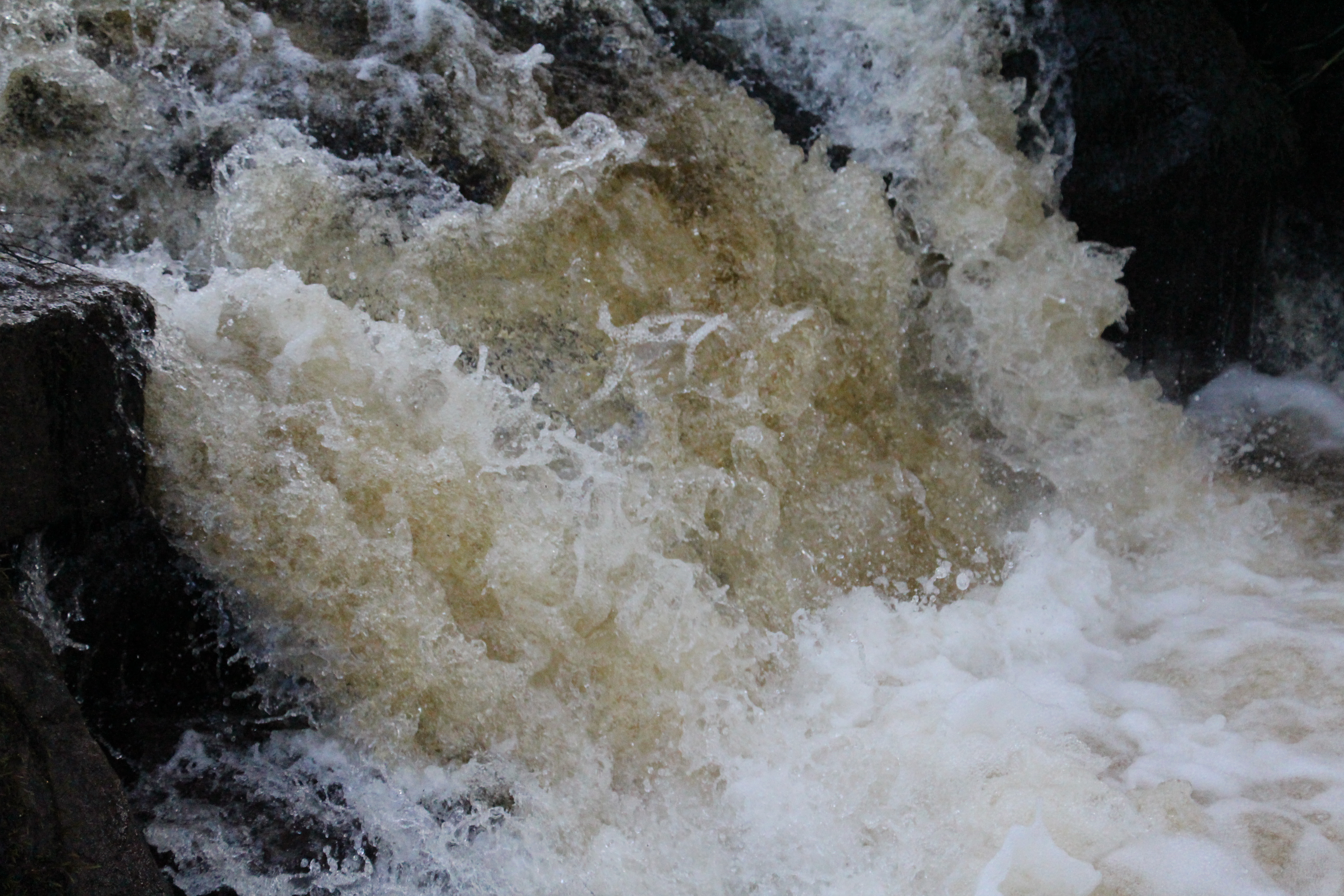
Västerkvarns fors
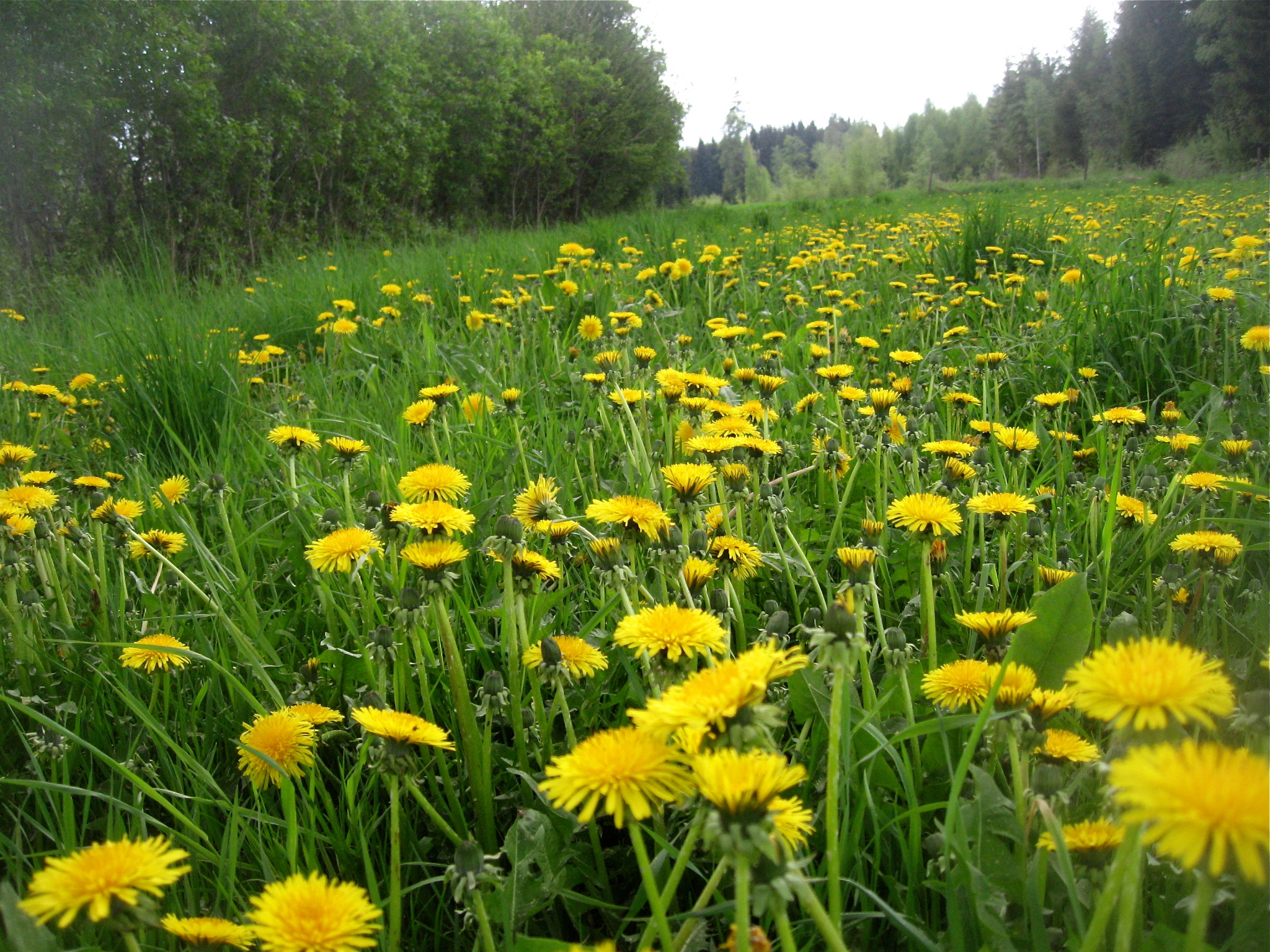
Common Dandelions
Sjöstorp in Green
The Mast
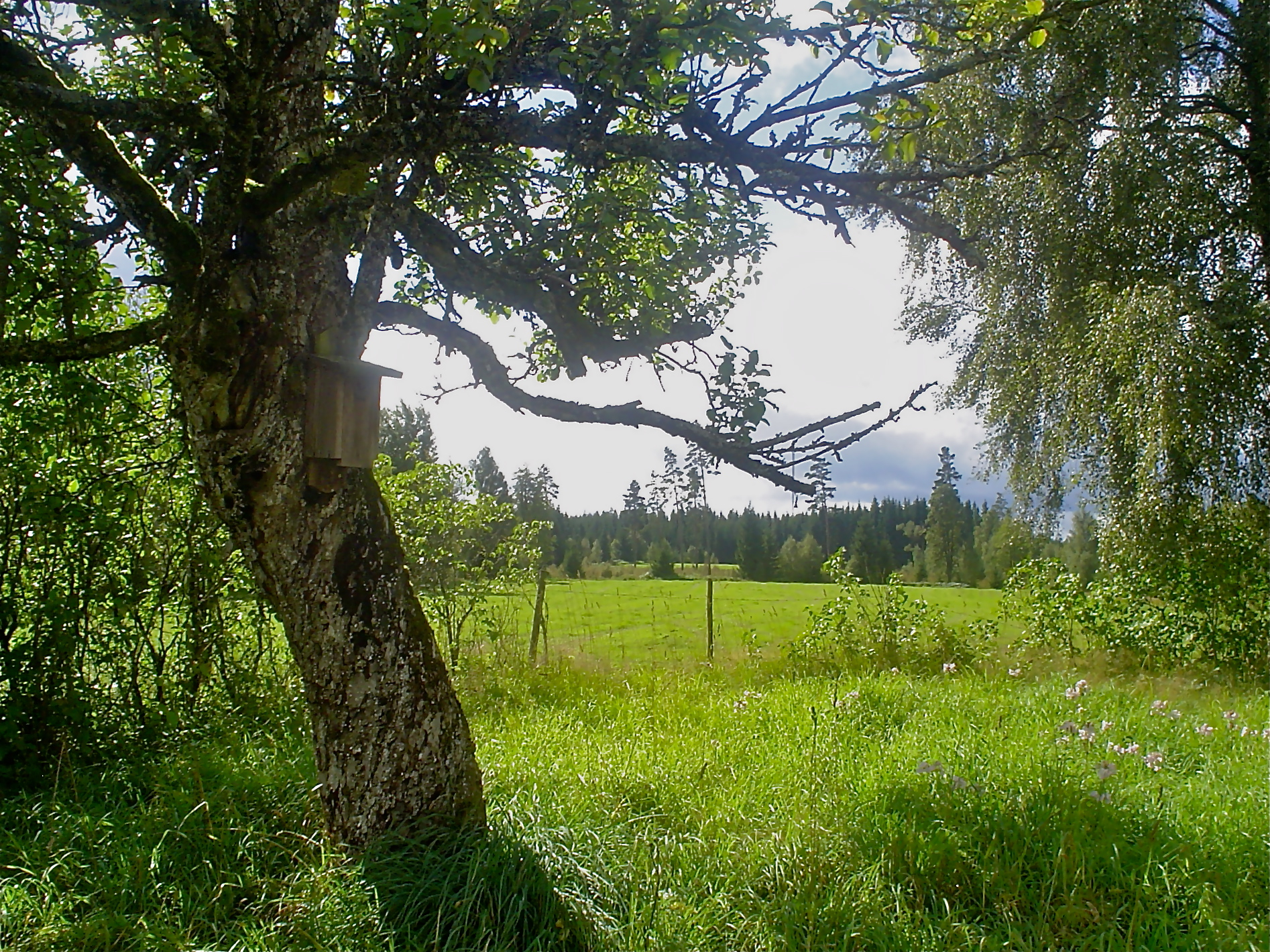
The Nestingbox
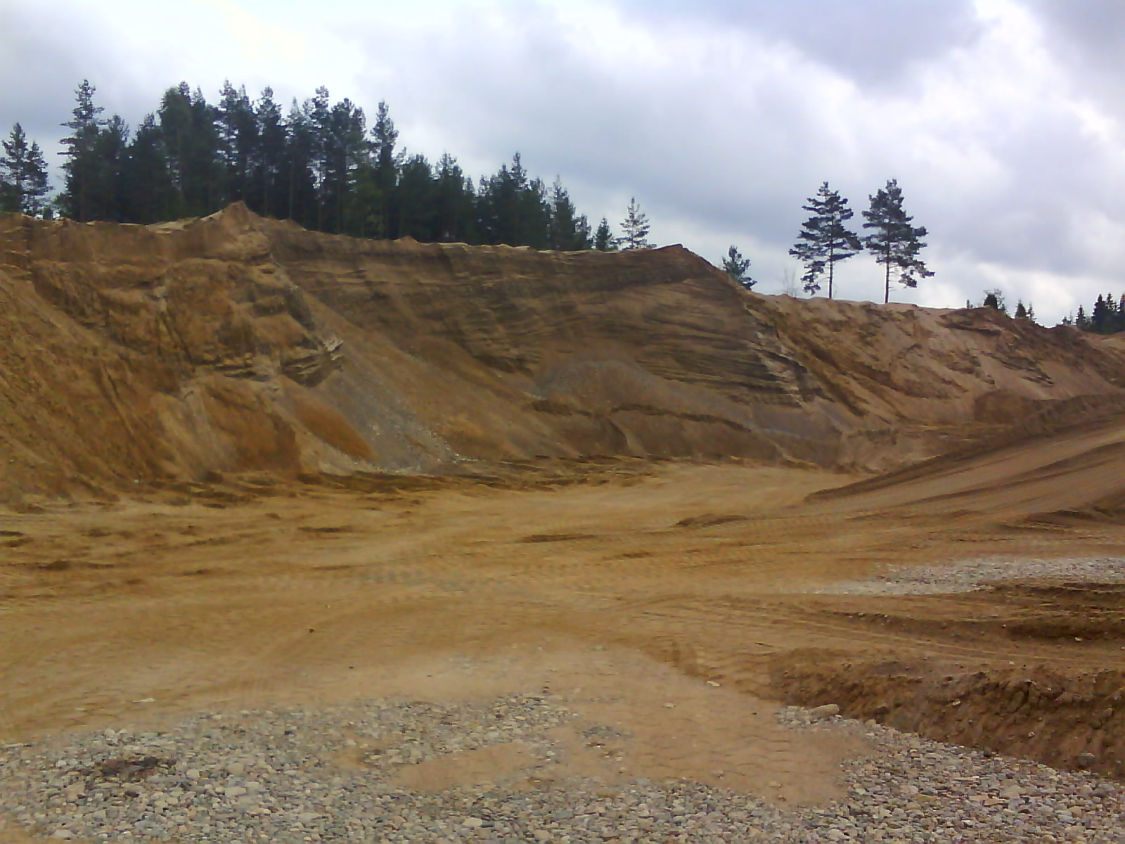
Gravel Pit
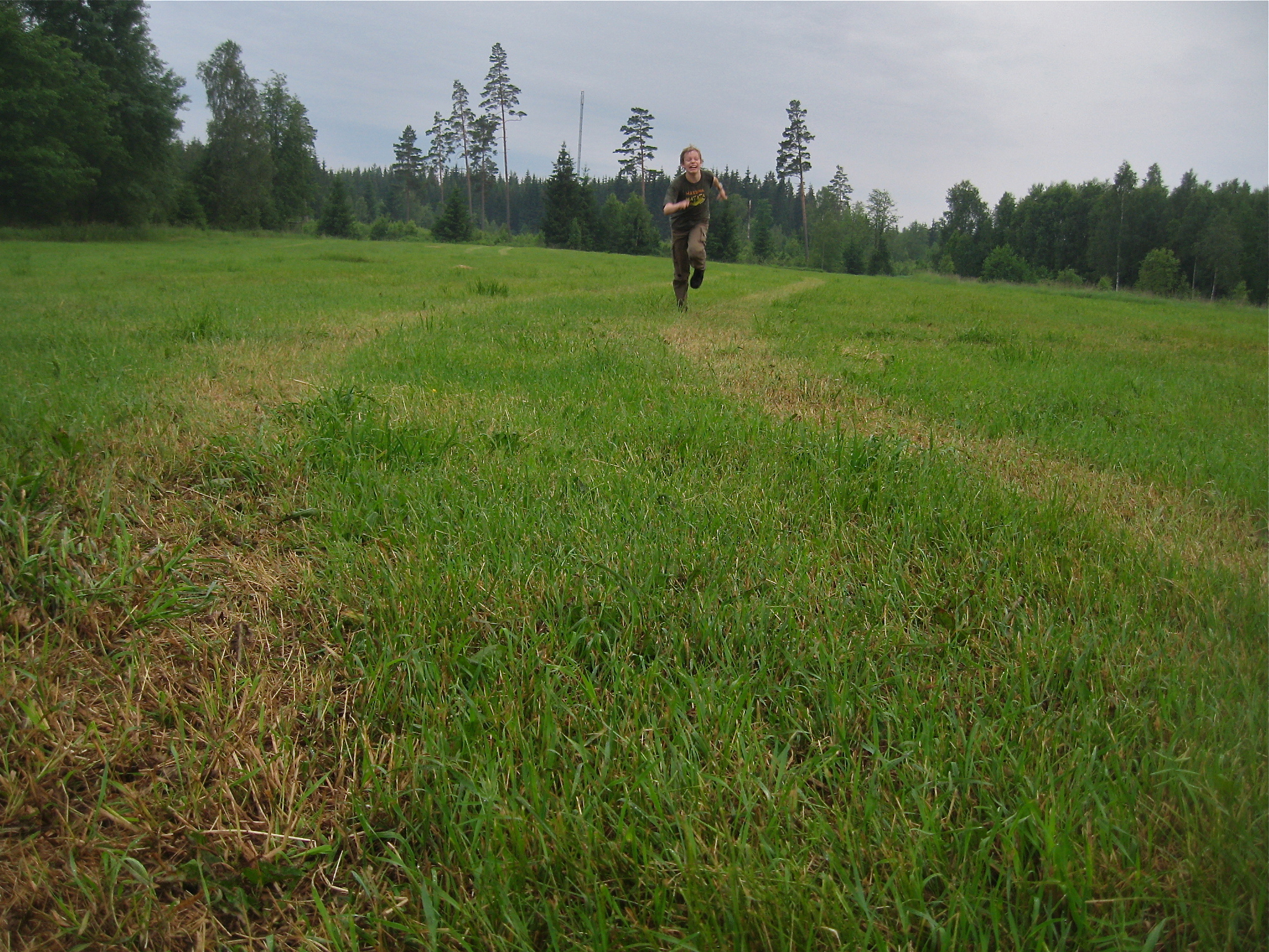
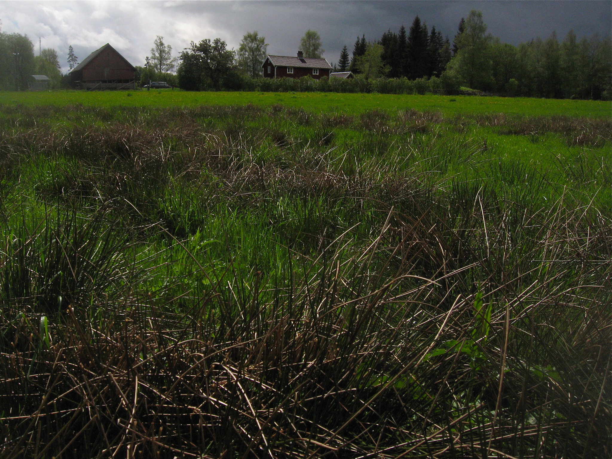
Field Run
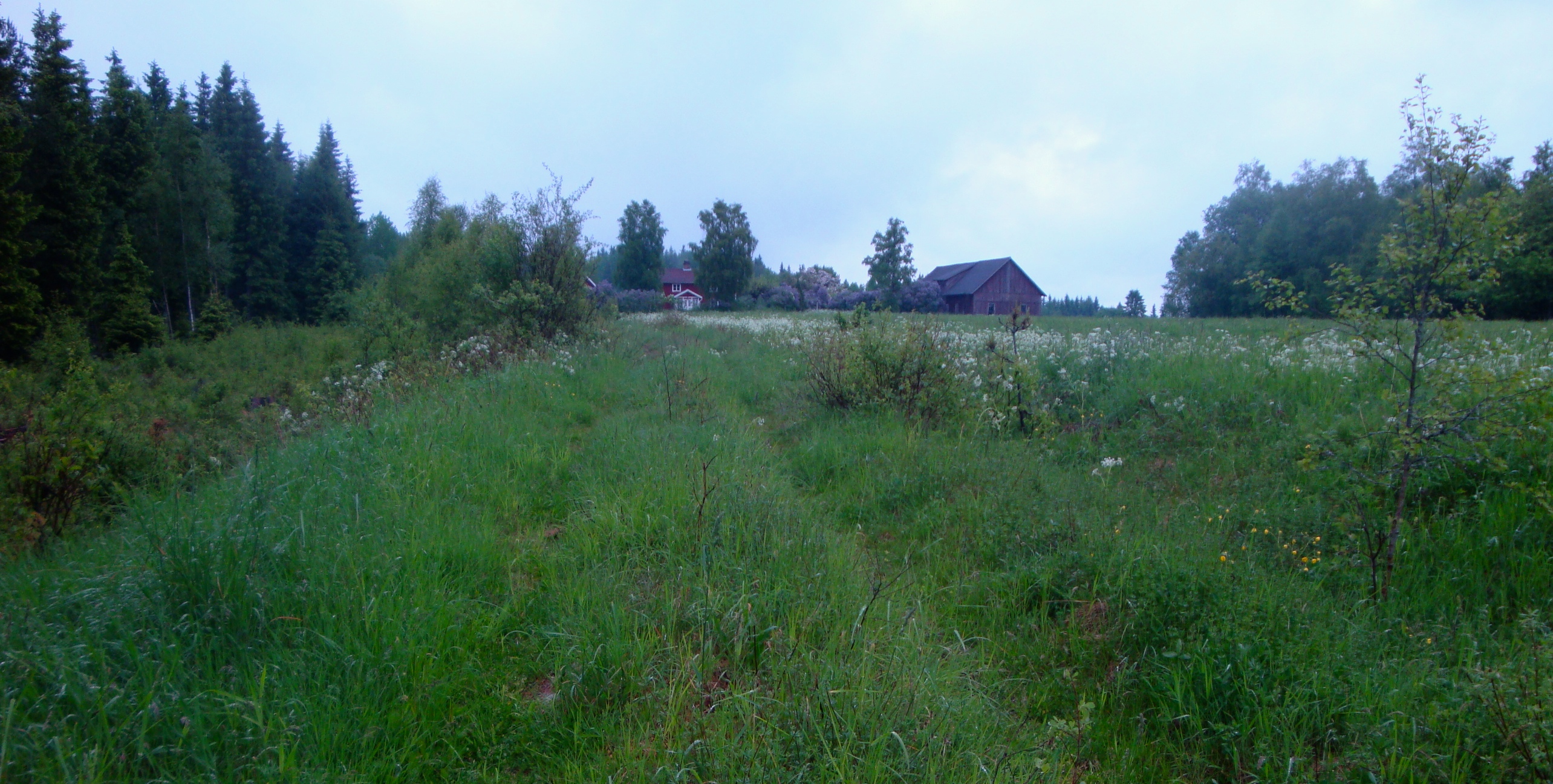
Sjöstorp
Topographic Map of Jonkoping County, Sweden
Find elevation by address:

Places in Jonkoping County, Sweden:
Vetlanda Sv
Jönköping N
Jönköping
Sävsjö N
Sävsjö S
Habo S
Eksjö S
Habo N
Vaggeryd
Vetlanda So
Vetlanda N
Nässjö V
Värnamo V
Sjöaveka
Himmestorp
Eksjö N
Nässjö N
Gislaved Ö
Tranås No
Nässjö
Ryd
Glömsjö
Lilla Barkaryd
Sävsjö
Vaggeryd V
Rökinge
Tranås Nv
Sävsjö
Huskvarna
Åreryd
Bankeryd
Gnosjö
Mullsjö
Gislaved Municipality
Värnamo
40, 93 Jönköping, Sweden
Bottnaryd
Tomtabacken
Eksjö
Bor
Gimmarp
Stensjön
Nyhem
Vetlanda
Aneby
Unnamed Road
Ängaryd
Jönköping So
Places near Jonkoping County, Sweden:
SVARVAREBYGGET 2, 03 Vrigstad, Sweden
Södra VIRSTORP 4, 03 Vrigstad, Sweden
Vrigstad
KÄLLÄNG 1, 03 Vrigstad, Sweden
Sävsjö N
Tomtabacken
Vaggeryd
BJÖRNARYD 2, 91 Sävsjö, Sweden
Vaggeryd
Skolgatan 1, 31 Skillingaryd, Sweden
Sjöaveka 6, 66 Bodafors, Sweden
Komstad Backegård 2, 91 Sävsjö, Sweden
Sjöaveka
DAVIDSTORP 1, 21 Malmbäck, Sweden
Nässjö V
Bor
Sävsjö
Djurgårdsgatan 4, 31 Sävsjö, Sweden
Sävsjö S
Sävsjö
Recent Searches:
- Elevation of Corso Fratelli Cairoli, 35, Macerata MC, Italy
- Elevation of Tallevast Rd, Sarasota, FL, USA
- Elevation of 4th St E, Sonoma, CA, USA
- Elevation of Black Hollow Rd, Pennsdale, PA, USA
- Elevation of Oakland Ave, Williamsport, PA, USA
- Elevation of Pedrógão Grande, Portugal
- Elevation of Klee Dr, Martinsburg, WV, USA
- Elevation of Via Roma, Pieranica CR, Italy
- Elevation of Tavkvetili Mountain, Georgia
- Elevation of Hartfords Bluff Cir, Mt Pleasant, SC, USA